The best running trails in Wisch- Und Wogbachtal
4.4
(1403)
21,375
runners
10
runs
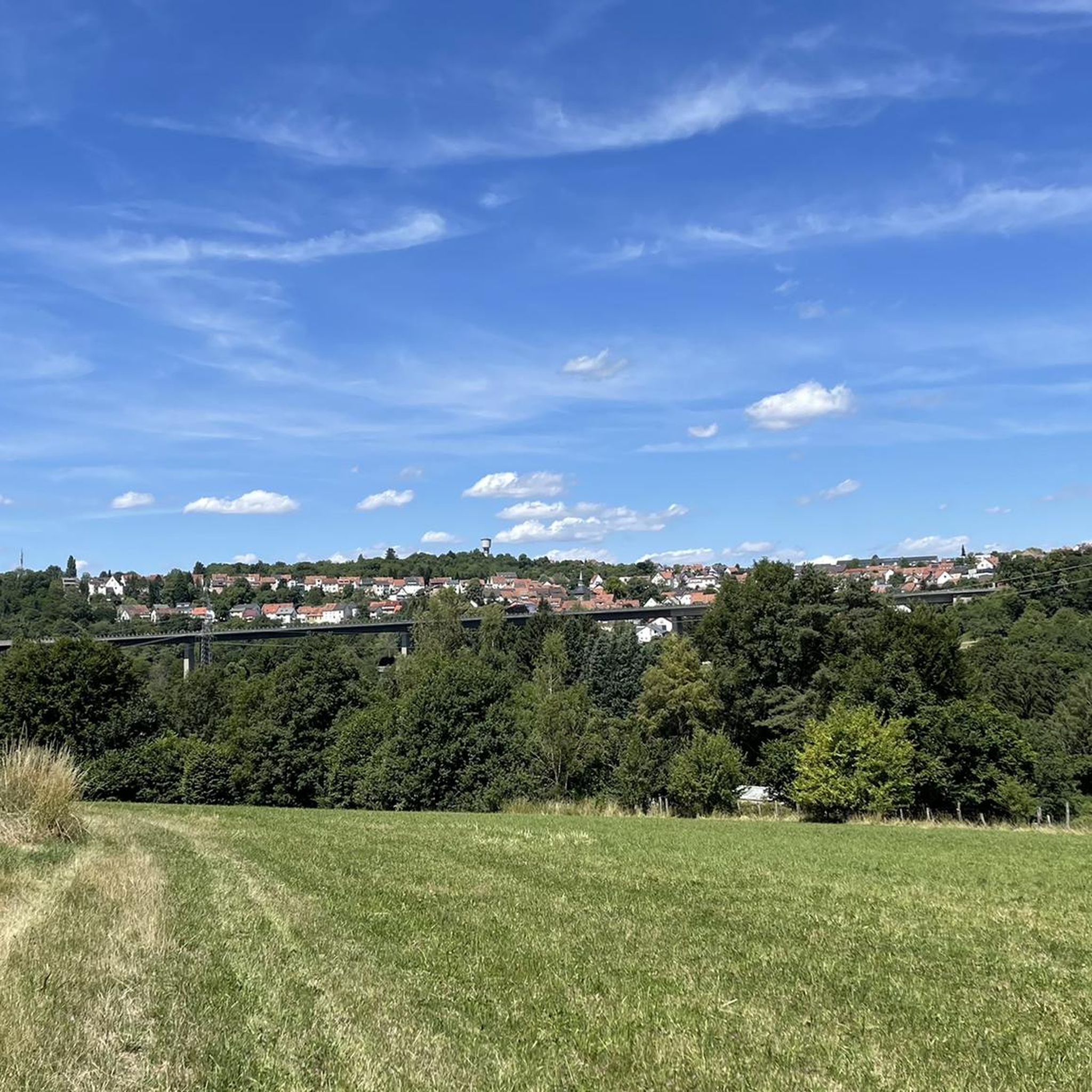
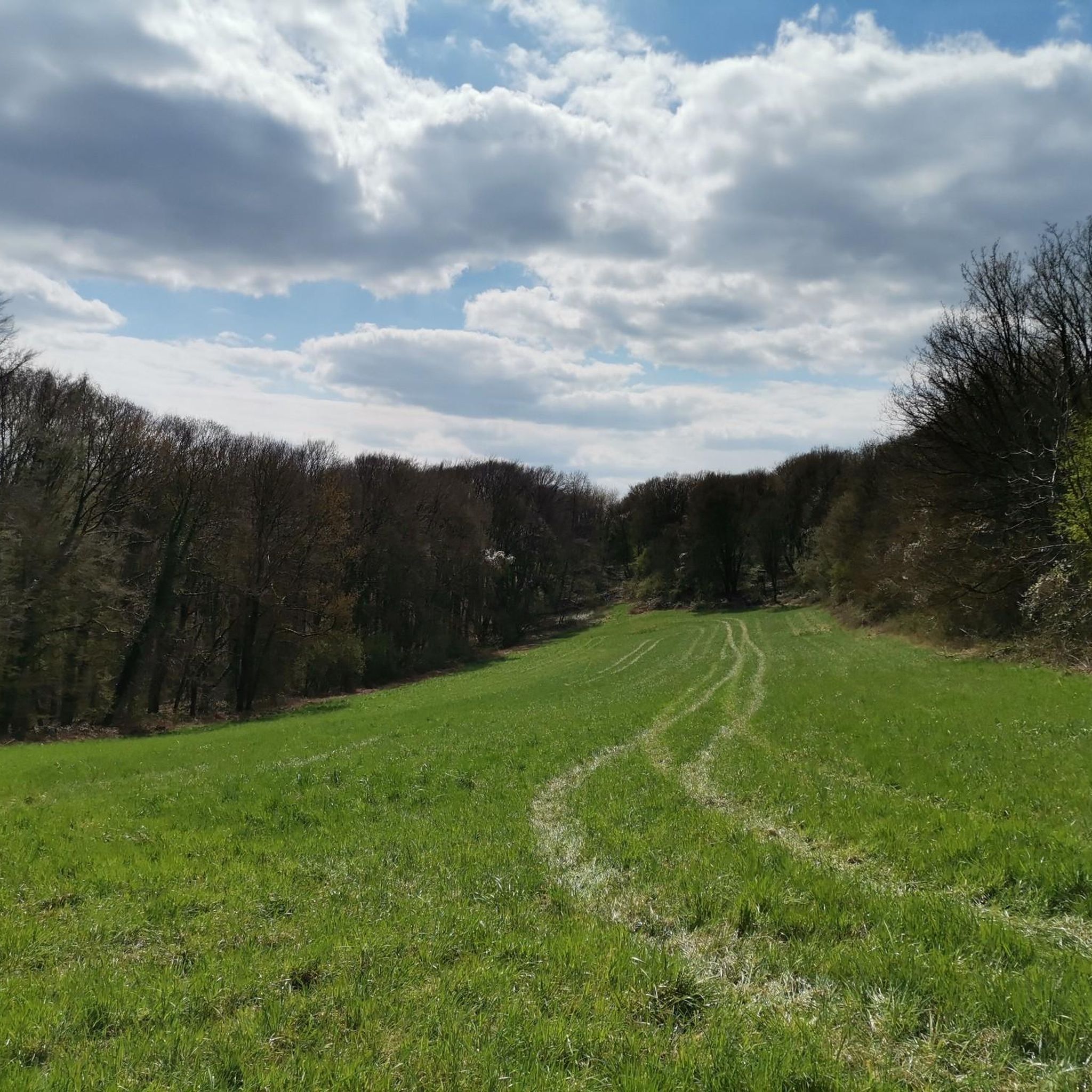
Jogging routes in Wisch- Und Wogbachtal traverse water-rich valleys, featuring numerous natural and artificially created streams, ponds, and springs. The region offers varied forest paths and diverse terrain, providing a tranquil environment for runners. Areas like the "Ensheimer Gelösch" present uneven ground and picturesque water landscapes, contributing to a dynamic running experience. This natural setting provides a range of options for different running preferences.
Best jogging routes in Wisch- Und Wogbachtal
- The most popular jogging route is Grumbachtal Valley –…
Last updated: October 8, 2026
5.0
(1)
41
runners
9.59km
01:06
220m
220m
Hard run. Good fitness required. Sure-footedness, sturdy shoes and alpine experience required.
5.0
(1)
35
runners
Hard run. Good fitness required. Sure-footedness, sturdy shoes and alpine experience required.

4.3
(7)
31
runners
Easy run. Great for any fitness level. Mostly paved surfaces. Suitable for all skill levels.
4.3
(7)
31
runners
Easy run. Great for any fitness level. Mostly paved surfaces. Suitable for all skill levels.
13
runners
Hard run. Very good fitness required. Mostly paved surfaces. Suitable for all skill levels.
Get access to more routes and recommendations from other explorers.
Already have an account?
Our route recommendations are based on thousands of hikes, rides, and runs completed by other people on komoot.
Start today with a free account
Your next adventure awaits.

Other adventures in Wisch- Und Wogbachtal

Tips from the Community

a few minutes away from the Wogbachtal Hut
0
0

The fountain is located down in the valley and since there is a table with benches next to it, it is a good place to take a rest.
1
0

Nice place to stop for a break with delicious food and drinks
0
0

Great place to stop for a break 😋 for
0
0

Quite a large forest car park, which certainly fills up quickly when the Woogbachtalhütte is open.
2
0
Ensheim fountain from 1931 dedicated to Franz Wieber. Nice break area with table and benches.
2
0

It's not just a fountain, but a small waterfall in a small gorge.
5
0

At this point / I would like to quickly / say something about the source (whereby it corresponds to the art of poetry / if this 'source' is a 'well'): To quote the incomparable humorist Heinz Erhardt (1909 - 1979), who was known to a wide audience for his word jokes and "Noch'n poem", with a short quatrain: "There is certainly much beauty in on the element, the wet. Because you can drink the water. But you can - also leave it." (H.Erhardt)
5
1
Frequently Asked Questions
How many running trails are available in Wisch- Und Wogbachtal?
Wisch- Und Wogbachtal offers a vast network of over 700 running trails. These routes cater to various preferences and fitness levels, with options ranging from easy jogs to more challenging runs.
What kind of terrain can I expect on the running routes in Wisch- Und Wogbachtal?
The region is characterized by its diverse and varied terrain, including water-rich valleys, numerous natural streams, ponds, and springs. You'll find well-maintained forest paths and areas like the "Ensheimer Gelösch" which offer more uneven ground and picturesque water landscapes, providing a dynamic running experience.
Are there any easy running routes suitable for beginners in Wisch- Und Wogbachtal?
Yes, Wisch- Und Wogbachtal has over 100 easy running routes. A good option for a relaxed jog is the Liederkranzbrunnen – Wogbachtal Trailhead Parking loop from Saarbrücken Airport, which is an easy 4.7 km path.
What natural features or landmarks can I see while running in Wisch- Und Wogbachtal?
The region is rich in natural beauty. You can encounter water features like the Felsenbrunnen Waterfall and the Luitpold Spring. Many routes also traverse varied forest paths, offering a tranquil environment between water and treetops.
Are there any circular running routes in Wisch- Und Wogbachtal?
Yes, many of the running routes in Wisch- Und Wogbachtal are circular, allowing you to start and end at the same point. For example, the Franz Wieber Fountain – Eicherstalbach Pond loop from Oberwürzbach-Hirschental is a challenging 11.5 km circular path.
Are there any rest stops or huts along the running trails?
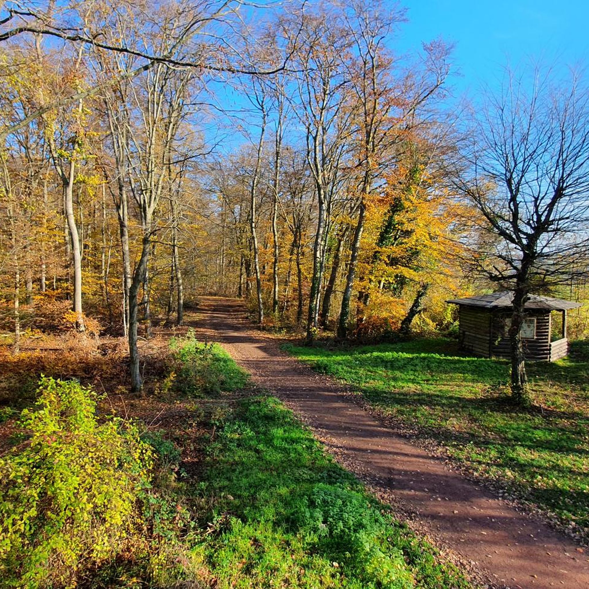
Yes, some routes feature inviting huts that serve as convenient resting points. The Woogbachtalhütte is a notable example, providing a place to refuel and enjoy the surroundings. You can find more information about huts and cabins in the region on komoot.
What do other runners enjoy most about the trails in Wisch- Und Wogbachtal?
The running routes in Wisch- Und Wogbachtal are highly rated by the komoot community, with an average score of 4.4 stars from over 1200 reviews. Runners often praise the diverse and well-maintained natural landscapes, the scenic water features, and the variety of paths suitable for different fitness levels.
Are there any challenging running routes for experienced runners?
Absolutely. Wisch- Und Wogbachtal offers over 100 difficult running routes. A challenging option is the Felsenbrunnen Waterfall – Eicherstalbach Pond loop from Saarbrücken Airport, a 9.6 km path featuring varied scenery and significant elevation changes.
Can I find routes that pass by waterfalls in Wisch- Und Wogbachtal?
Yes, the region is known for its water features, including waterfalls. The Felsenbrunnen Waterfall – Eicherstalbach Pond loop from Saarbrücken Airport is a great route that allows you to experience the Felsenbrunnen waterfall firsthand.
What is a good moderate-difficulty running route in the area?
For a moderate run, consider the Gallows – Milk Hut Eichelberger Farm loop from Oberwürzbach-Hirschental. This 8.8 km trail leads through varied terrain and is often completed in about 55 minutes.
Most popular routes in Wisch- Und Wogbachtal
Most popular attractions in Wisch- Und Wogbachtal

Get inspired with the komoot mobile app


Explore more
Browse the best Running Trails & Routes in other regions.
