Top 14 Mountain Passes in Geo-Naturpark Bergstraße-Odenwald
Best mountain passes in Geo-Naturpark Bergstraße-Odenwald traverse the Odenwald mountain range, a UNESCO Global Geopark known for its diverse landscapes and rich geological history. These routes provide scenic views, challenging sections, and access to various attractions. The region offers experiences for hikers, cyclists, and nature enthusiasts. It features a mix of historical sites, recreational areas, and family-friendly adventure parks.
Best mountain passes in Geo-Naturpark Bergstraße-Odenwald
- The most popular mountain passes is Juhöhe, a settlement that serves as a crucial…
Last updated: July 10, 2026
Juhöhe
Highlight • Settlement
Translated by Google •
Tip by

Col de Ober-Beerbach (383 m)
Highlight • Mountain Pass
Translated by Google •
Tip by

Sign up now to discover places like this
Get recommendations on the best single tracks, peaks, & plenty of other exciting outdoor places.
Sign up for free
View of Melibokus
Highlight • Viewpoint
Translated by Google •
Tip by

Shrine at the Kalter Herrgott
Highlight • Monument
Translated by Google •
Tip by

Hutzelweg Signpost
Highlight • Trail
Translated by Google •
Tip by

Sign up for free to discover even more mountain passes in Geo-Naturpark Bergstraße-Odenwald.
Sign up for free
Already have an account?
Start today with a free account
Your next adventure awaits.
Login or Signup
Popular around Geo-Naturpark Bergstraße-Odenwald
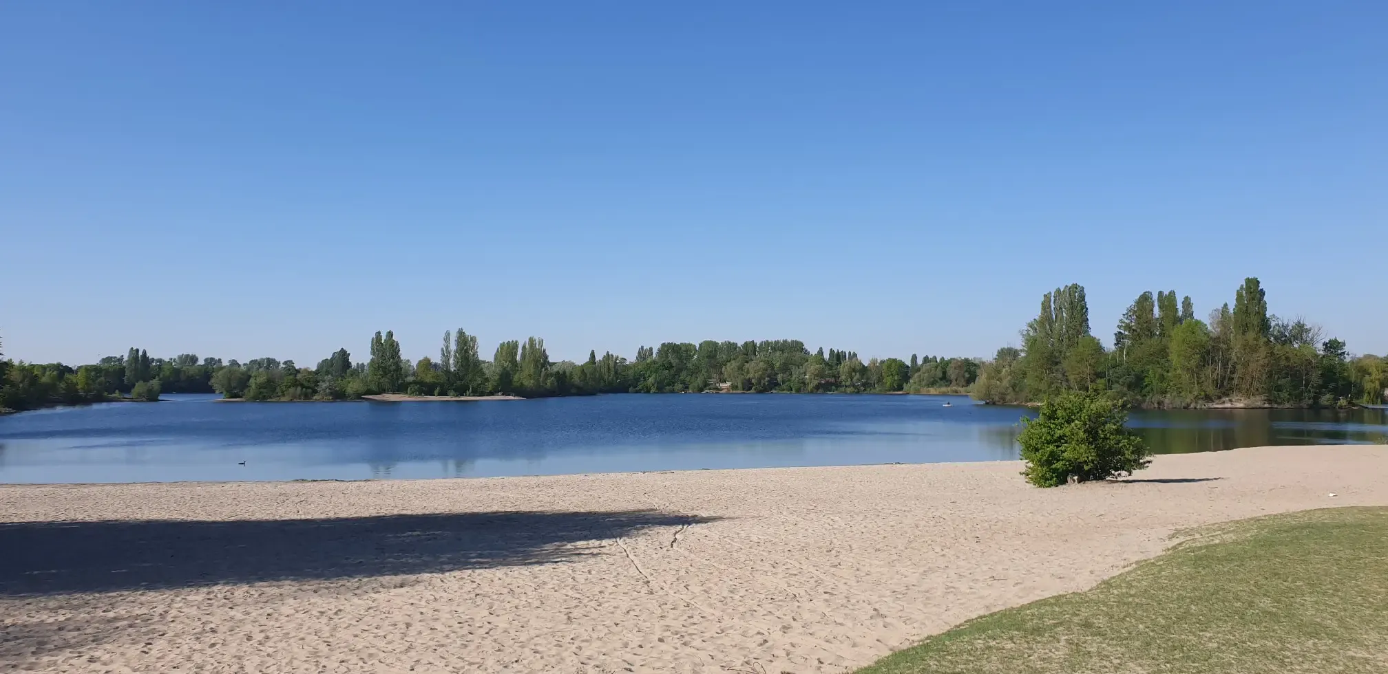
Jump right in! Swimming lakes in the Rhine-Neckar Triangle
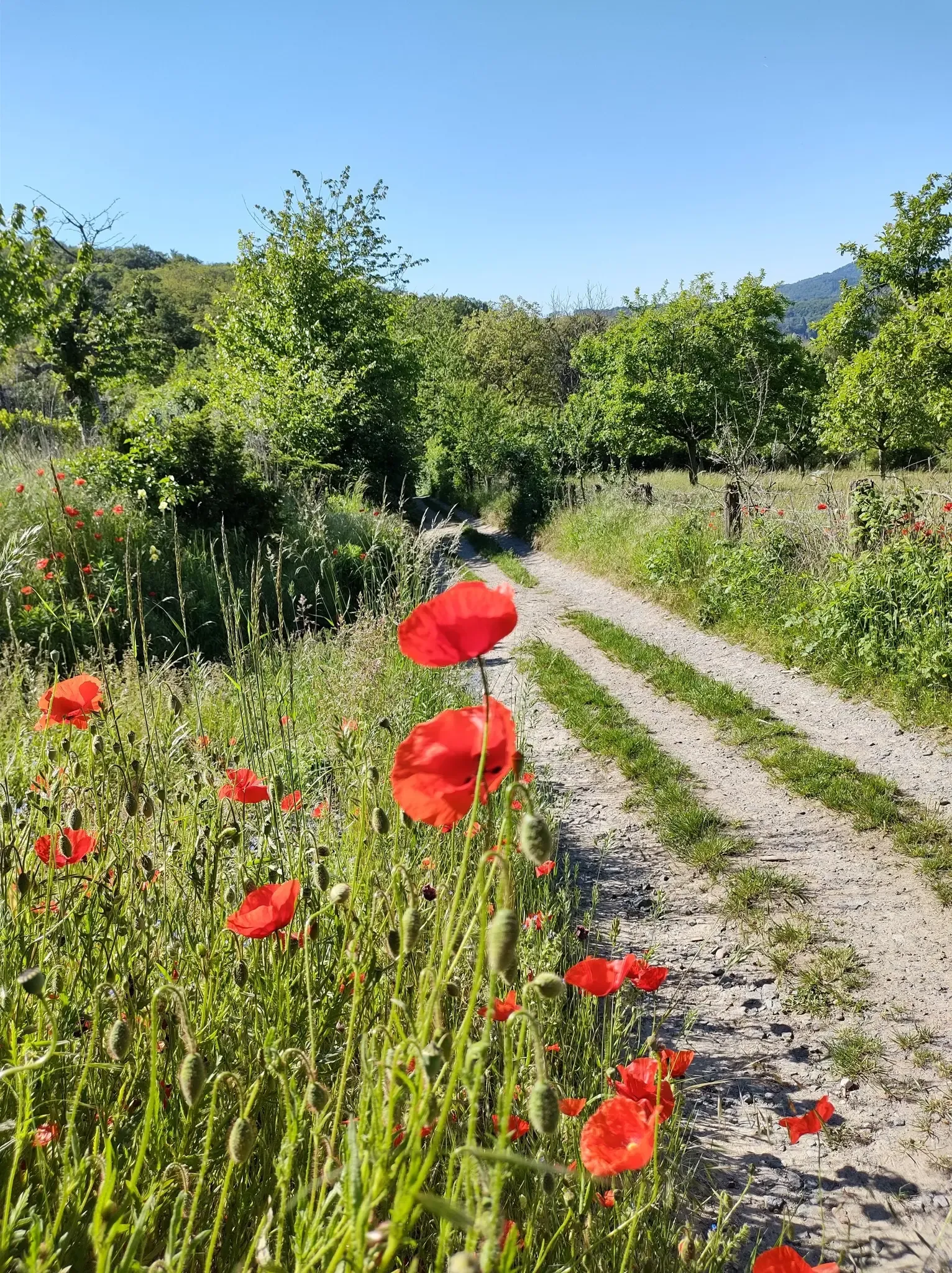
Bergsträßer Blütenweg – Between vines and flowers
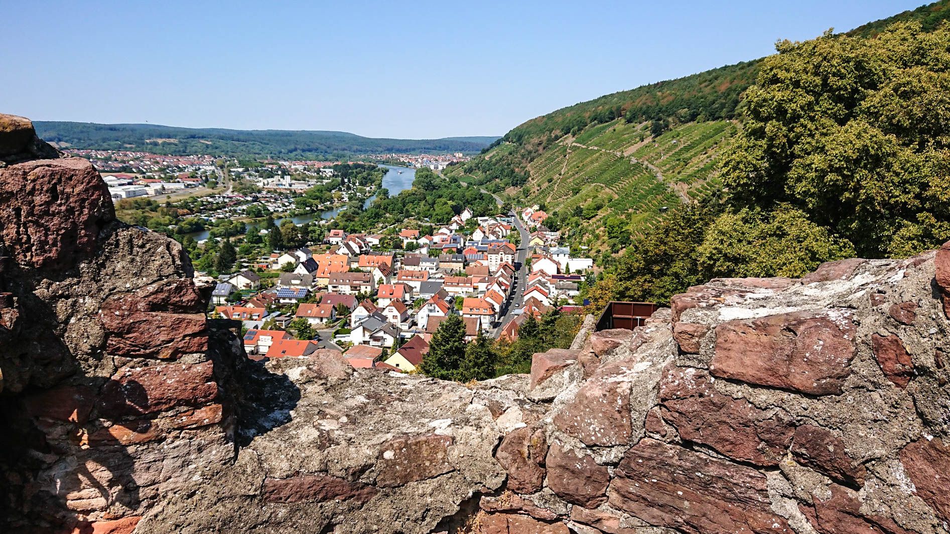
Franconian Red Wine Trail — From vineyards to the Main River
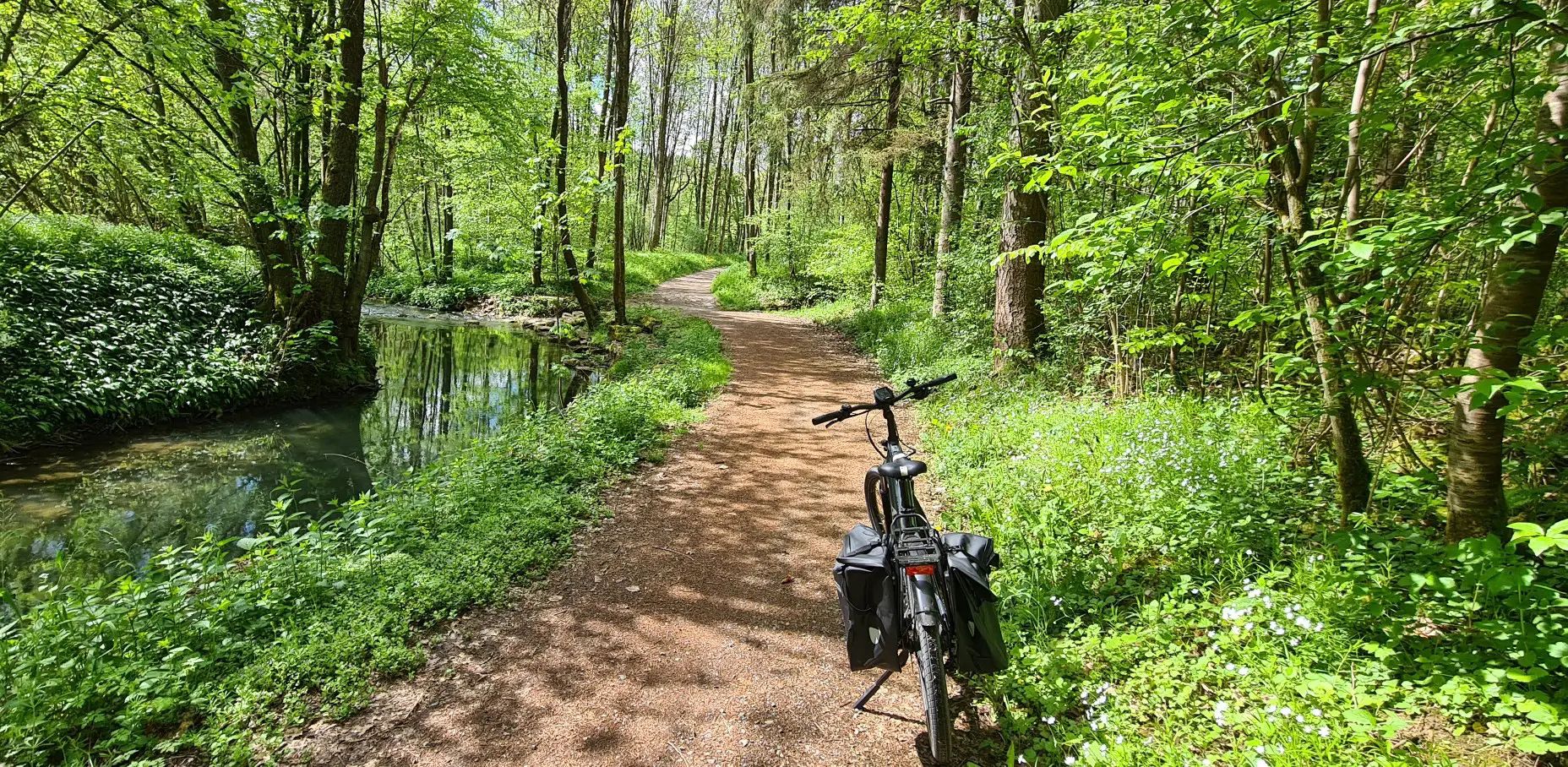
Germany's Main-Tauber-Franconian Radachter – two loops, one experience

German Limes Cycle Path – Riding from the Rhine to the Danube
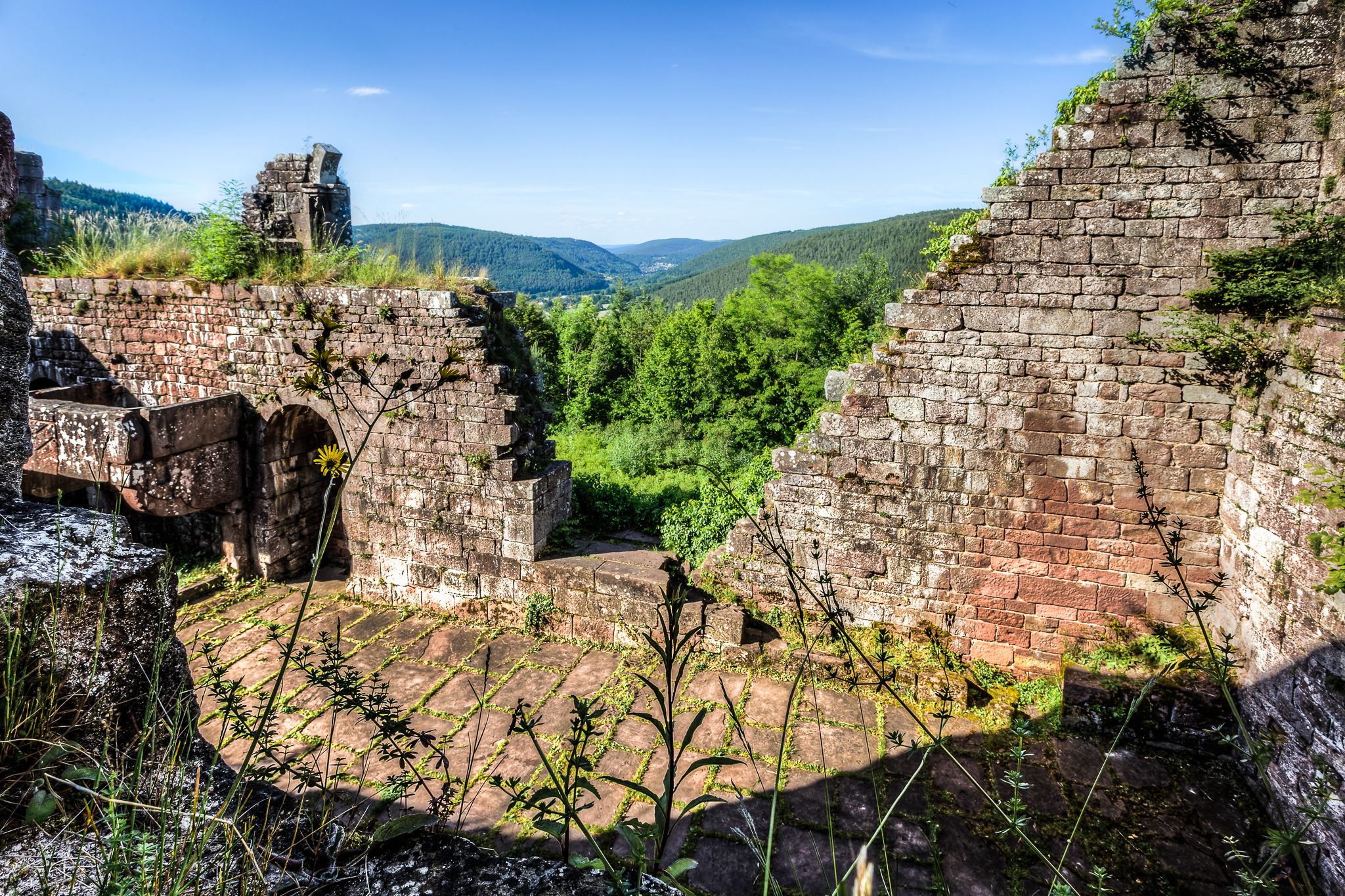
The Nibelungensteig in 7 stages – Simply legendary!
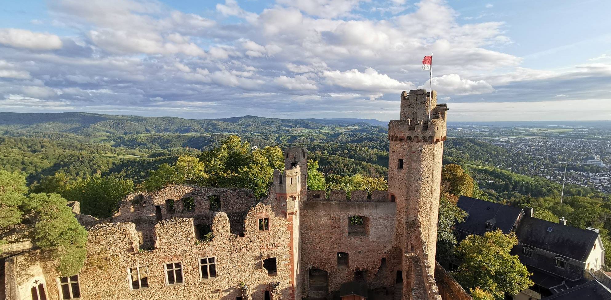
Burgensteig Bergstraße – In the footsteps of knights, hiking in 9 stages
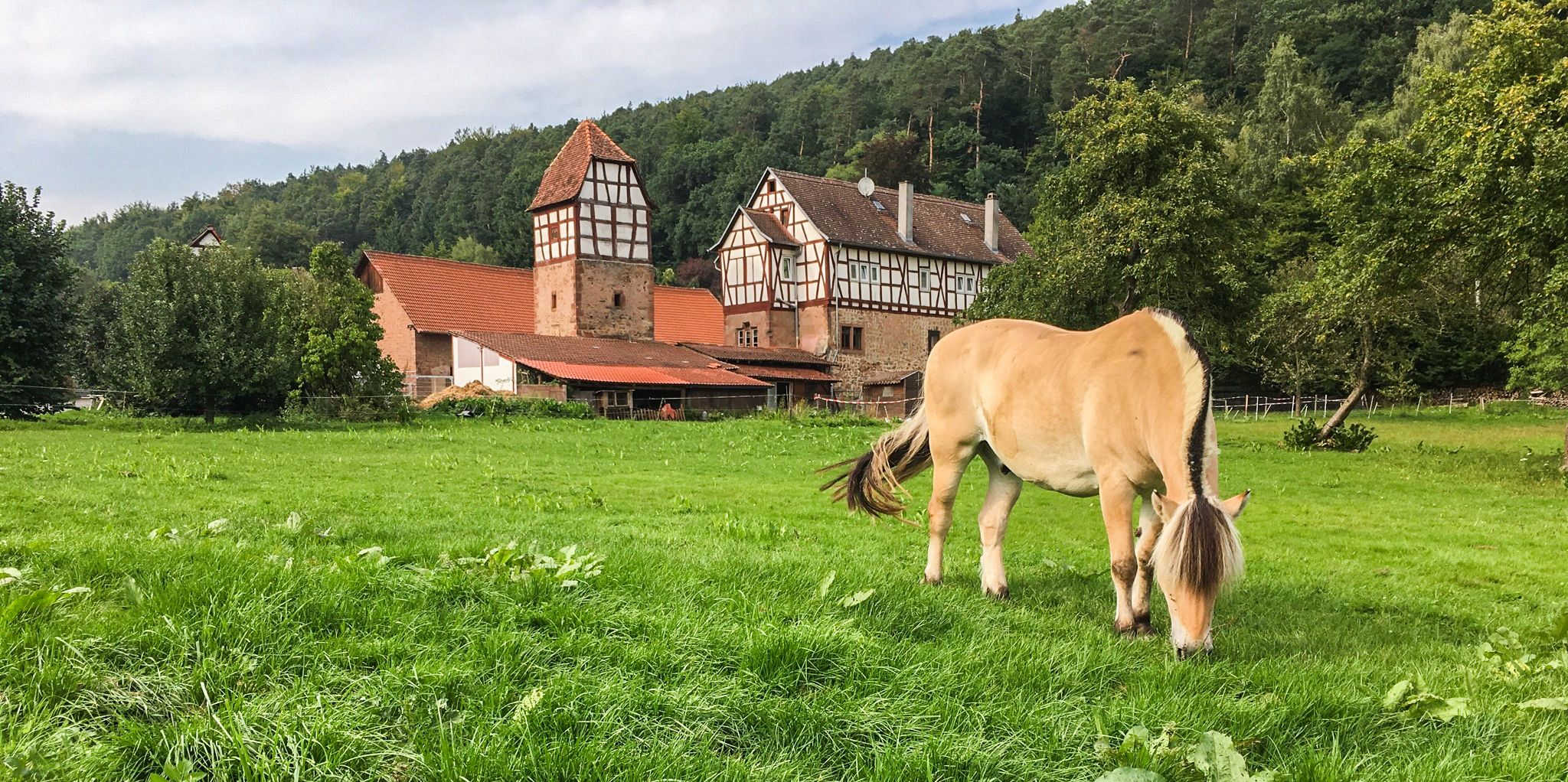
The Alemannenweg – Hiking in the Odenwald
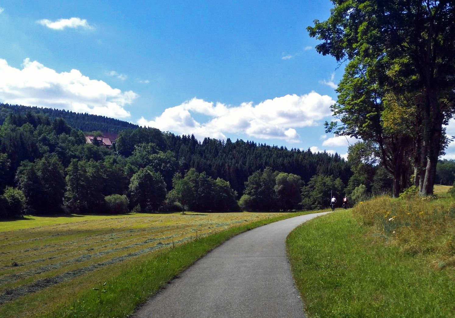
The Heidelberg-Schwarzwald-Bodensee-Radweg
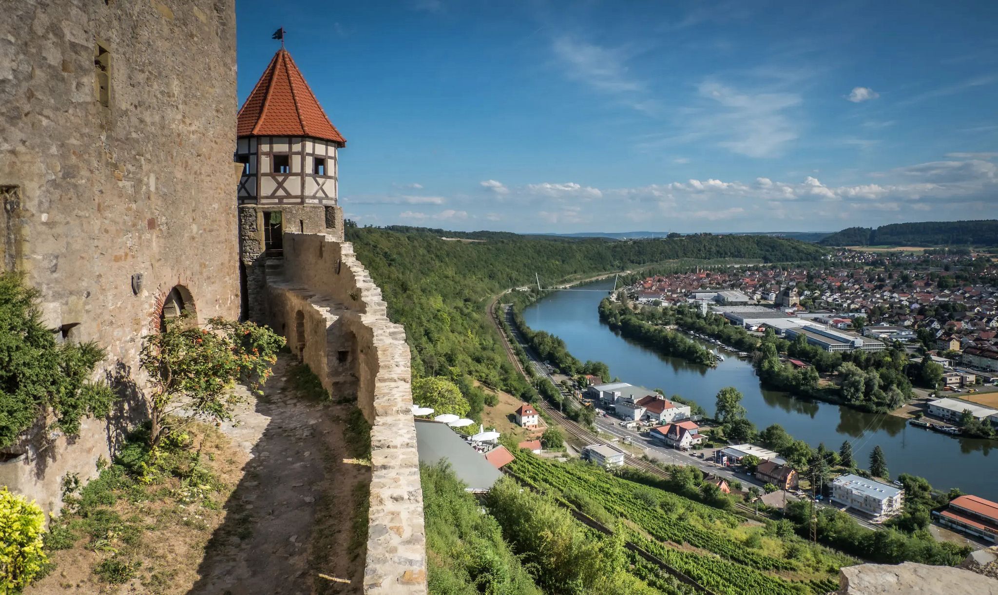
The Neckarsteig trail – 9 stages along the edge of the Odenwald
Other adventures in Geo-Naturpark Bergstraße-Odenwald


Tips from the Community

Conquered the Beast. Decent climb, but very beautiful.
0
0

Even though it's good here, it's still quite pleasant to cycle.
1
0

Here you can decide where to go 😎
0
0

When the weather is nice you have a great view here 👌
0
0

Occasional agricultural traffic but you have to watch out for the wind as it can be pretty strong up there
0
0

The tin sign itself no longer hangs there. Only a small post with a wooden sign can be found in the hedge.
3
1

The mountain saddle between Ritschweier and Kunzenbach is called "cold Lord God". And today he lived up to his name, it was actually very sunny, but the icy wind was not without it. The age of the wayside shrine is not known. Today, behind a lattice, the wayside shrine houses an image of a farmer with a fully loaded harvest wagon. On August 12, 1922, the farmer Valentin Müller had a fatal accident here.
1
0

A beautiful hill with a great view.
0
0
Frequently Asked Questions
What makes the mountain passes in Geo-Naturpark Bergstraße-Odenwald unique?
The mountain passes in Geo-Naturpark Bergstraße-Odenwald traverse the Odenwald mountain range, a UNESCO Global Geopark. They offer a blend of diverse landscapes, rich geological history, and access to various attractions. Visitors can find scenic views, challenging routes, historical sites, and family-friendly adventure parks.
Which mountain passes offer the best panoramic views?
Several passes provide excellent viewpoints. Juhöhe offers beautiful panoramic views of the Odenwald landscape, extending towards the Weschnitz Valley and the Rhine Plain. The Reußenkreuz Pass (Sensbacher Höhe) provides expansive views into the Sensbachtal valley and of the surrounding mountains, including the Katzenbuckel. Winterkasten Pass is known for its wonderful descent and panorama, with views of the Reichelsheim Valley, Lindenfels Old Town and Castle, and the Rimdidim-Felsen.
Are there family-friendly mountain passes with activities for children?
Yes, Kreidacher Höhe is a major family attraction. It features the Erlebnishöhe Wald-Michelbach adventure park, which includes a 1-kilometer summer toboggan run, a climbing forest with over 84 exercises, a climbing labyrinth, a wooden ball track, and an adventure playground. Juhöhe is also considered family-friendly and offers a good starting point for various tours.
What historical or cultural sites can be found near the mountain passes?
Near Juhöhe, you can explore prehistoric burial mounds and cultural monuments like "Opfersteine," alongside interesting granodiorite geological formations. The Shrine at the Kalter Herrgott is a man-made monument with historical significance, offering detailed information on site.
Which mountain passes are recommended for road cyclists?
Krähberg is particularly popular among road cyclists, known for its winding climb and enjoyable downhill section. A driving ban for motorized two-wheelers on Sundays and public holidays makes it a quieter experience for cyclists. The Col de Ober-Beerbach is also considered a pleasant route for cycling. The Vierstöck Serpentines offer an enjoyable climb and descent for cyclists, with good asphalt and moderate gradients.
Are there hiking opportunities near the mountain passes?
Absolutely. Juhöhe serves as an excellent starting point for various hiking tours, including the European long-distance hiking trail E1. The Reußenkreuz Pass is part of the S6 circular hiking trail in the Beerfelder Land region, ideal for nature lovers seeking tranquility and scenic beauty. For more options, you can explore various hiking routes in the region, such as the Felsenmeer Loop Trail or the Tromm high trail, by visiting the Hiking in Geo-Naturpark Bergstraße-Odenwald guide.
What kind of outdoor activities can I do near these mountain passes?
Beyond cycling and hiking, the region offers diverse outdoor activities. You can find mountain hikes, such as those around Felsenmeer or Königstuhl, detailed in the Mountain Hikes in Geo-Naturpark Bergstraße-Odenwald guide. Road cyclists can explore challenging routes like the Hessian 5 Sound or Odenwald Three-State Loop, available in the Road Cycling Routes in Geo-Naturpark Bergstraße-Odenwald guide.
Where can I find places to rest or eat near the mountain passes?
Juhöhe provides a welcoming atmosphere with local cafes and restaurants for a refreshing break. The Reußenkreuz Pass features a nature parking lot at the Waldgasthof Reußenkreuz, and along the S6 circular trail, visitors can find a shelter known as Schutzhütte Talblick.
What is the best time to visit the mountain passes in Geo-Naturpark Bergstraße-Odenwald?
The mountain passes are generally enjoyable throughout the warmer months, from spring to autumn, when conditions are ideal for hiking and cycling. During these seasons, the landscapes are lush, and outdoor activities are in full swing. Some passes, like Krähberg, offer a quieter cycling experience on Sundays and public holidays due to motorized vehicle restrictions.
Are there any geological points of interest near the passes?
Yes, the Geo-Naturpark Bergstraße-Odenwald is a UNESCO Global Geopark, known for its rich geological history. Near Juhöhe, you can observe interesting granodiorite geological formations. The region's diverse landscapes themselves are a testament to its unique geological past.
What do visitors appreciate most about the mountain passes in this region?
Visitors frequently praise the scenic beauty, the variety of routes for different activities, and the well-maintained trails. The panoramic views, especially from spots like Juhöhe and Winterkasten Pass, are highly valued. Cyclists enjoy the challenging yet rewarding climbs and descents, while families appreciate the adventure park at Kreidacher Höhe.
Most popular routes in Geo-Naturpark Bergstraße-Odenwald
Most popular attractions in Geo-Naturpark Bergstraße-Odenwald

Get inspired with the komoot mobile app


Explore more
See even more epic mountain passes by checking out these guides in Geo-Naturpark Bergstraße-Odenwald:
