The best walks and hikes in Daschendorfer Forst
4.5
(3773)
13,850
hikers
965
hikes
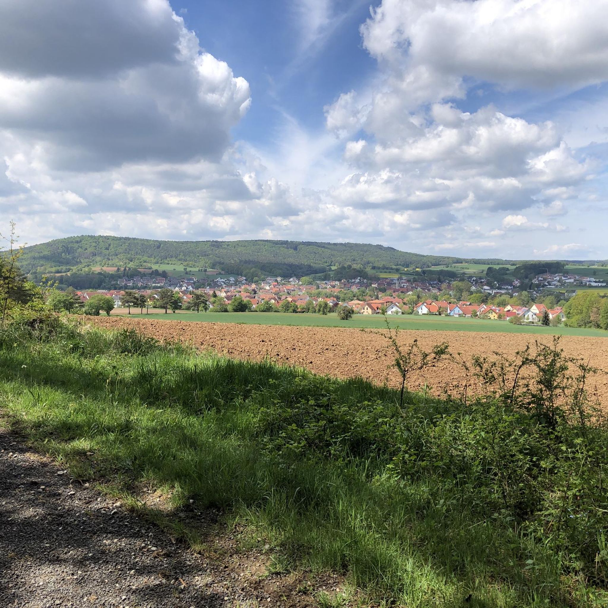
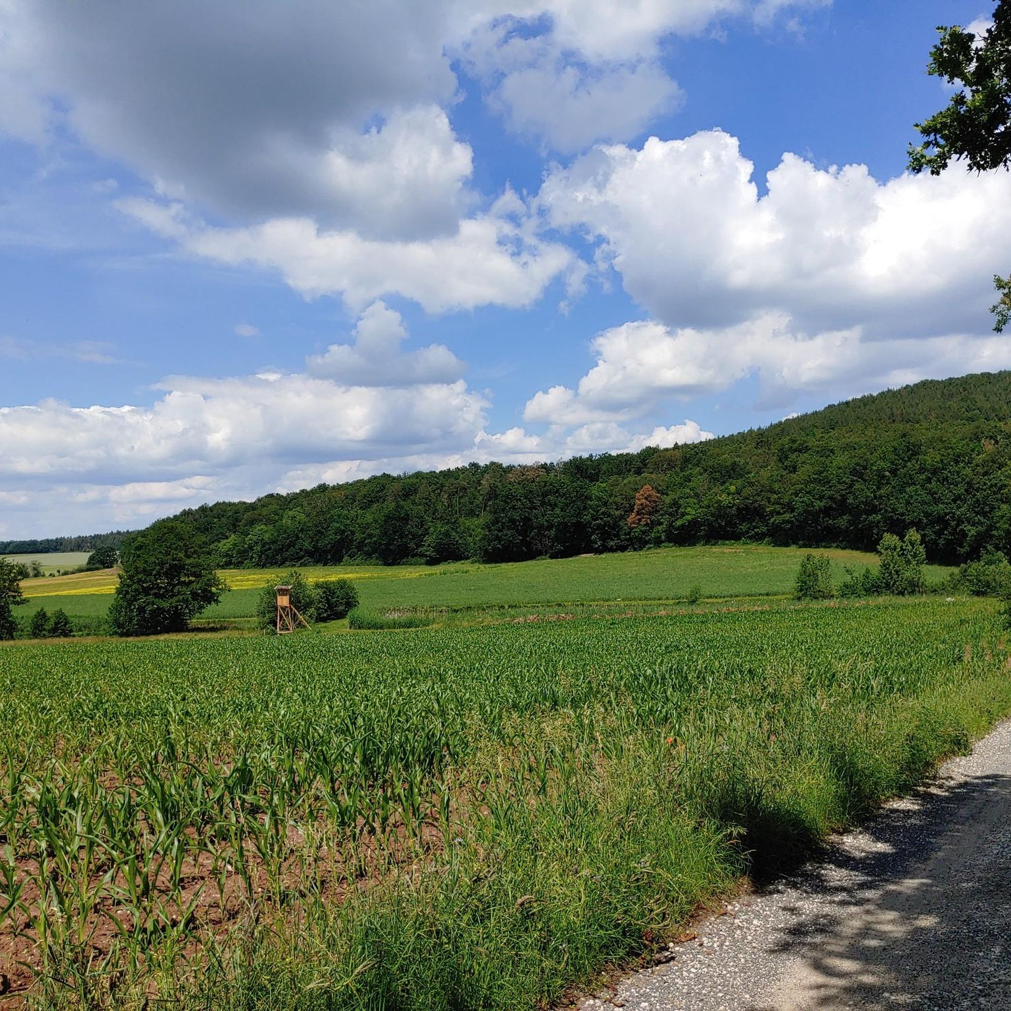
Hiking trails in Daschendorfer Forst traverse a Natura 2000 protected area situated on the Kraiberg ridge. The region is characterized by dense woodlands and varied terrain, offering views across the Itz valley. This forest area lies between the towns of Baunach and Itz.
Best hiking trails in Daschendorfer Forst
- The most popular hiking route is Kraibergblick viewpoint – Bildeiche Memorial Cross loop from Hänge am Kraiberg, a 2.9 miles (4.7 km) trail that takes 1 hour 16 minutes to…
Last updated: June 27, 2026
5.0
(5)
35
hikers
Easy hike. Great for any fitness level. Easily-accessible paths. Suitable for all skill levels.
4.3
(6)
21
hikers
6.15km
01:38
60m
60m
Easy hike. Great for any fitness level. Easily-accessible paths. Suitable for all skill levels.

Sign up for free
5.0
(5)
19
hikers
Easy hike. Great for any fitness level. Easily-accessible paths. Suitable for all skill levels.
4.0
(2)
4
hikers
4.26km
01:06
20m
20m
Easy hike. Great for any fitness level. Easily-accessible paths. Suitable for all skill levels.
4.0
(1)
7
hikers
9.88km
02:45
190m
190m
Moderate hike. Good fitness required. Easily-accessible paths. Suitable for all skill levels.
Get access to more routes and recommendations from other explorers.
Sign up for free
Already have an account?
Our route recommendations are based on thousands of hikes, rides, and runs completed by other people on komoot.
Start today with a free account
Your next adventure awaits.
Login or Signup

Tips from the Community

The Golden Eagle is a small brewery and inn owned by the Endres family in Höfen. They brew an unfiltered, amber-colored cellar beer according to an old family tradition. Höfen's brewing tradition dates back to 1630, and even today, residents and guests alike enjoy the amber-colored, well-balanced, malty, and spicy cellar beer from the first sip to the last.
2
0

Artist Frantisek Vlcek erected his sculpture in this section of the Itz River. It is part of the project "River Faces: From Stone to Sculpture" on the Auenweg Obermain (https://www.flussparadies-franken.de/projekte/auenweg-obermain/flussgesichter/). The sculpture depicts a section of a mermaid bathed in flowing water, which, in reference to ancient imagery, can be interpreted as the female form of the Itz River. In her natural nakedness, she resembles a spring nymph, seemingly emerging from the flowing water.
2
0

Shelter with space for at least 8 people.
1
1
Great view, rest area with plenty of seating and trash can
1
0
Beautiful view with a bench for a little rest
1
0
A beautiful viewpoint with a bench for a short rest
0
1

Beautiful resting place in the middle of nature.
0
0

Super friendly service, tasty food and a small selection of very tasty beers! The Fischer in Freudeneck is a clear recommendation!
2
0
Frequently Asked Questions
How many hiking trails are available in Daschendorfer Forst?
Daschendorfer Forst offers a wide selection of hiking opportunities, with over 1,000 routes recorded on komoot. These range from easy walks to more challenging paths, ensuring options for various fitness levels.
What kind of terrain can I expect when hiking in Daschendorfer Forst?
You can expect varied terrain, as the forest is situated on the Kraiberg ridge. This includes dense woodlands, providing a serene nature experience, and elevated sections that offer views across the Itz valley and towards Bamberg. The region is also a Natura 2000 protected area, highlighting its rich natural environment.
Are there easy hiking trails suitable for beginners or families?
Yes, Daschendorfer Forst has many easy trails. Over 570 routes are classified as easy, making them suitable for beginners or families. An example is the Kraibergblick viewpoint – St. Hubertus Memorial Stone loop from Hänge am Kraiberg, a 3.1 km trail through woodlands.
Can I find circular hiking routes in Daschendorfer Forst?
Many of the hiking routes in Daschendorfer Forst are circular. For instance, the Kraibergblick viewpoint – Bildeiche Memorial Cross loop from Hänge am Kraiberg is a popular 4.7 km loop that offers scenic views.
Are there any historical sites or landmarks to see while hiking?
Yes, you can discover historical sites within the forest. The ruins of Freudeneck Castle are located in the Daschendorfer Forst area. Additionally, you might encounter other points of interest like Burgstall Haßberge, a historical site, or the Spring in the Hassberge Nature Park.
What are the best viewpoints in Daschendorfer Forst?
The Kraiberg ridge offers excellent viewpoints. From the 330-meter high "Kraiberg-Blick" viewpoint, you can enjoy panoramic views of the Main valley and towards Bamberg, including landmarks like Schloss Banz and Vierzehnheiligen. The Kraibergblick viewpoint – Bildeiche Memorial Cross loop specifically highlights this feature.
Is Daschendorfer Forst suitable for dog owners?
Daschendorfer Forst, with its extensive woodlands and varied trails, is generally suitable for hiking with dogs. It's a natural environment where dogs can enjoy the outdoors, though always ensure they are kept on a leash where required, especially in protected areas like Natura 2000 sites.
How can I reach the hiking trails in Daschendorfer Forst by public transport?
Daschendorfer Forst is situated between the towns of Baunach and Itz. While specific public transport connections directly to trailheads may vary, you can typically reach nearby towns like Rattelsdorf or Reckendorf by regional bus services. From there, trails often begin within walking distance or are accessible via short local connections.
What do other hikers enjoy the most about hiking in Daschendorfer Forst?
The area is highly rated by the komoot community, with an average score of 4.5 stars from over 3,500 reviews. Hikers often praise the serene atmosphere of the dense woodlands, the varied terrain of the Kraiberg ridge, and the scenic views across the Itz valley. The well-maintained trails and the blend of nature and historical elements are also frequently highlighted.
Are there any trails that follow the Itz river?
Yes, some trails explore the area near the Itz river. For example, the Along the Itz – View of the Itz River loop from Freudeneck is an easy 4.2 km route that offers views along the river.
What is the best time of year to hike in Daschendorfer Forst?
Daschendorfer Forst offers enjoyable hiking experiences throughout the year. Spring brings lush greenery, while autumn showcases vibrant foliage. Summer provides pleasant conditions for shaded forest walks, and winter can offer tranquil snow-covered landscapes, though some paths might be less accessible.
Are there any cultural hiking routes in the region?
Yes, the region features cultural hiking routes. The "Kulturwanderung von der Itz zur Baunach" is an 8-kilometer tour that takes hikers from Rattelsdorf to Freudeneck and then over the Kraiberg to Reckendorf, passing historical sites and offering insights into local traditions.
Most popular routes in Daschendorfer Forst
Most popular attractions in Daschendorfer Forst

Get inspired with the komoot mobile app


Explore more
Browse the best Hikes in other regions.
