The best walks and hikes in Mainaue Bei Augsfeld
4.5
(5529)
20,304
hikers
13
hikes
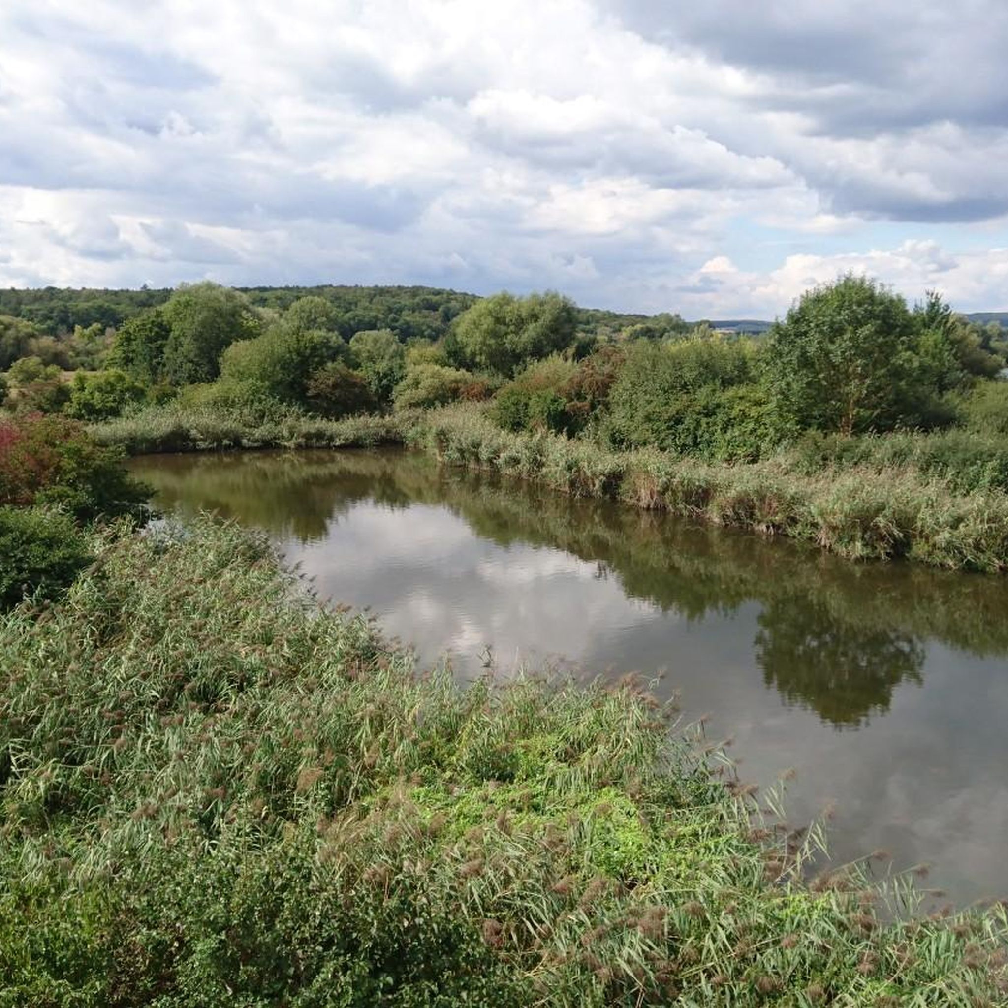
Hiking in Mainaue Bei Augsfeld offers diverse landscapes within a protected riverine area in Lower Franconia. The region is characterized by a mosaic of habitats, including natural still waters like the Sichelsee and Hochreinsee, undulating floodplain landscapes, and varied grasslands. Riparian forests and reed beds border the water bodies, contributing to the area's rich biodiversity. This nature reserve provides a flat terrain ideal for accessible hiking.
Best hiking trails in Mainaue Bei Augsfeld
- The most popular hiking route is Hochrheinsee…
Last updated: August 21, 2026
4.8
(38)
109
hikers
5.94km
01:30
10m
10m
Easy hike. Great for any fitness level. Easily-accessible paths. Suitable for all skill levels.
4.2
(18)
66
hikers
Easy hike. Great for any fitness level. Easily-accessible paths. Suitable for all skill levels.

Sign up for free
4.4
(5)
14
hikers
Easy hike. Great for any fitness level. Easily-accessible paths. Suitable for all skill levels.
3.0
(1)
6
hikers
10.9km
02:44
10m
10m
Moderate hike. Good fitness required. Easily-accessible paths. Suitable for all skill levels.
15
hikers
Easy hike. Great for any fitness level. Easily-accessible paths. Suitable for all skill levels.
Get access to more routes and recommendations from other explorers.
Sign up for free
Already have an account?
Our route recommendations are based on thousands of hikes, rides, and runs completed by other people on komoot.
Start today with a free account
Your next adventure awaits.
Login or Signup

Tips from the Community

Did he crash there or land voluntarily?
0
0

Simply a beautiful building to look at, with history you can touch.
0
0


You don't see that every day
0
1
The Protestant Christ Church in Haßfurt was built in 1899. It is a striking building on Heideloffplatz and dominates the cityscape. The parish is known for its diverse musical offerings, including trombone and flute choirs and children's choirs. Services and concerts are held regularly in the church. In 2024, the parish celebrated the 125th anniversary of its church.
7
1

Evangelical Christ Church in Haßfurt, built in 1899. On the left is the old customs house, built in the second half of the 19th century. Today it houses the Christ Church parish hall.
2
0

The Knights Chapel is one of the most popular places of worship in the region.
12
0
The Haßfurt-Haßberge airfield is located south of the town of Haßfurt, between the Steigerwald and Haßberge nature parks. The town of Haßfurt and the Haßberge district have developed the former special landing site of the Haßfurt Motorflug Club e.V. into a modern commercial airfield. Source: https://www.flugplatz-hassfurt.de/
16
0
Frequently Asked Questions
How many hiking trails are available in Mainaue Bei Augsfeld?
Mainaue Bei Augsfeld offers a diverse network of 15 hiking routes. Most of these, 11 to be exact, are classified as easy, making the area accessible for a wide range of hikers. There are also 4 moderate routes for those seeking a bit more challenge.
What is the general difficulty level of hiking trails in Mainaue Bei Augsfeld?
The hiking trails in Mainaue Bei Augsfeld are predominantly easy, with 11 out of 15 routes falling into this category. The remaining 4 routes are moderate. This makes the area ideal for relaxed strolls and family outings, as the terrain is generally flat and well-suited for various fitness levels.
What do other hikers enjoy most about the trails in Mainaue Bei Augsfeld?
The area is highly rated by the komoot community, with an average score of 4.6 stars from over 3,900 reviews. Hikers often praise the tranquil riverine landscapes, the rich biodiversity, and the well-maintained paths that offer excellent opportunities for nature observation, especially birdwatching.
When is the best time of year to hike in Mainaue Bei Augsfeld?
Mainaue Bei Augsfeld is beautiful year-round, but spring and autumn are particularly recommended. In spring, the floodplain landscapes burst with new life and migratory birds return, while autumn offers stunning colors and comfortable hiking temperatures. The area's diverse habitats, including still waters and grasslands, provide unique experiences in every season.
Are there any notable landmarks or viewpoints along the trails?
Yes, the region features several interesting points. A prominent attraction is the Birdwatching Tower Mainaue bei Augsfeld on the Sichelsee, offering expansive views of the surrounding waters and floodplains. You can also find the Hochrheinsee viewpoint, which provides scenic vistas of the Hochrein Lake.
What kind of wildlife can I expect to see while hiking?
Mainaue Bei Augsfeld is a nature reserve renowned for its rich biodiversity, especially its birdlife. Over 200 different bird species, including rare ones, inhabit the region, making it a significant breeding and resting ground. From the birdwatching tower, you can observe migratory species like the greenshank and shoveler, and resident birds such as the gray heron and cormorant. The diverse habitats also support various other animal and plant species.
Are there any nature experience paths suitable for learning about the area?
Yes, there is a dedicated Mainaue bei Augsfeld Nature Discovery Trail. This path features various informational points and interactive elements, including a 'small Auwalddschungel' (riparian forest jungle). It's designed to help visitors understand the diverse habitats and observe the rich birdlife, with activities like crawling through a replica beaver lodge and identifying animal sounds.
Are there family-friendly hiking options in Mainaue Bei Augsfeld?
Absolutely. With 11 easy routes and generally flat terrain, Mainaue Bei Augsfeld is very family-friendly. The Nature Discovery Trail is particularly engaging for children, offering interactive elements. A good example of a family-friendly route is the Sichelsee Observation Tower – Mainaue bei Augsfeld loop from Trinkwasserschutzgebiet bei Haßfurt, which is just 2.3 miles (3.8 km) long and takes about an hour.
Are dogs allowed on the hiking trails?
Mainaue Bei Augsfeld is a nature reserve, and while dogs are generally welcome, it is crucial to keep them on a leash to protect the sensitive wildlife and habitats, especially during breeding seasons. Always follow local signage and regulations to ensure a safe and respectful experience for everyone and the environment.
Are there circular hiking routes available?
Yes, many of the trails in Mainaue Bei Augsfeld are designed as circular routes, allowing you to start and end at the same point. For instance, the popular Hochrheinsee viewpoint – Hochrein Lake loop from Knetzgau is a 3.7-mile (6.0 km) circular trail. Another option is the Haßfurt-Schweinfurt Airfield – Großer Wörth Lake loop from Trinkwasserschutzgebiet bei Haßfurt, an easy 3.4-mile (5.5 km) loop.
Where can I park when visiting Mainaue Bei Augsfeld for a hike?
While specific parking locations aren't detailed in the guide, nature reserves like Mainaue Bei Augsfeld typically have designated parking areas near popular trailheads or visitor centers. Look for signs indicating 'Wanderparkplatz' (hiking parking) or 'Parkplatz Naturerlebnispfad' (nature experience path parking) in the vicinity of Augsfeld, Knetzgau, or Haßfurt.
Are there any longer, more challenging routes for experienced hikers?
While the majority of routes are easy, there are 4 moderate trails for those looking for a longer walk. For example, the Hochrheinsee viewpoint – Sichelsee Observation Tower loop from Knetzgau is a moderate 6.8-mile (10.9 km) route. Another moderate option is the View of Käppele Zeil am Main – Zeil am Main loop from Knetzgau, which is 9.6 miles (15.5 km) long and offers more distance.
Most popular routes in Mainaue Bei Augsfeld
Most popular attractions in Mainaue Bei Augsfeld

Get inspired with the komoot mobile app


Explore more
Browse the best Hikes in other regions.
