The best walks and hikes in Laubwälder Bei Bad Königshofen
4.5
(5684)
21,310
hikers
1,865
hikes
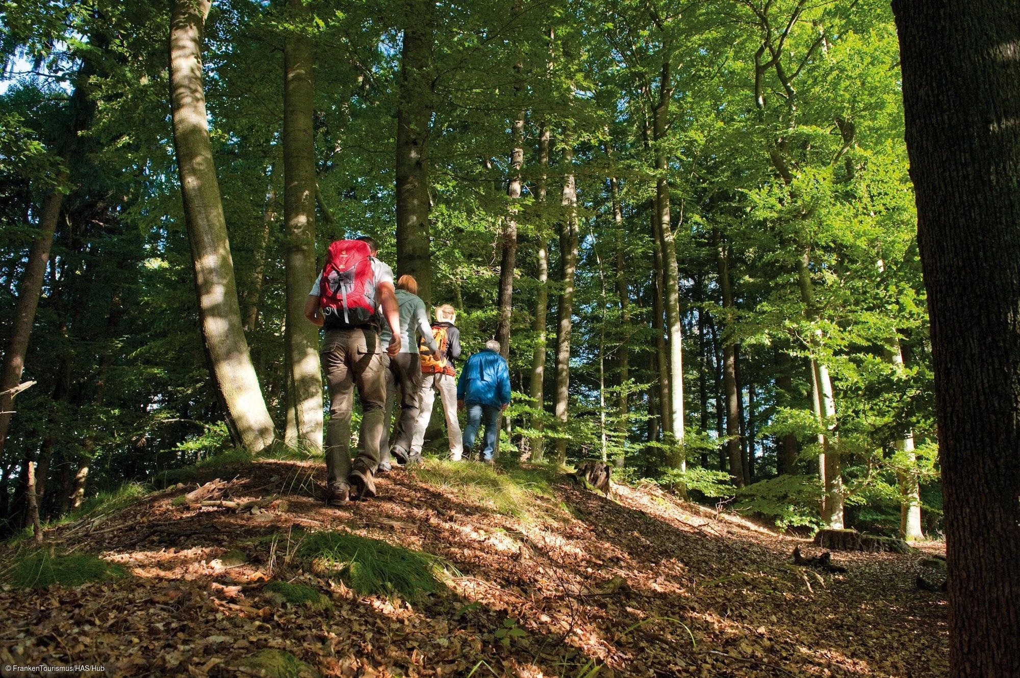
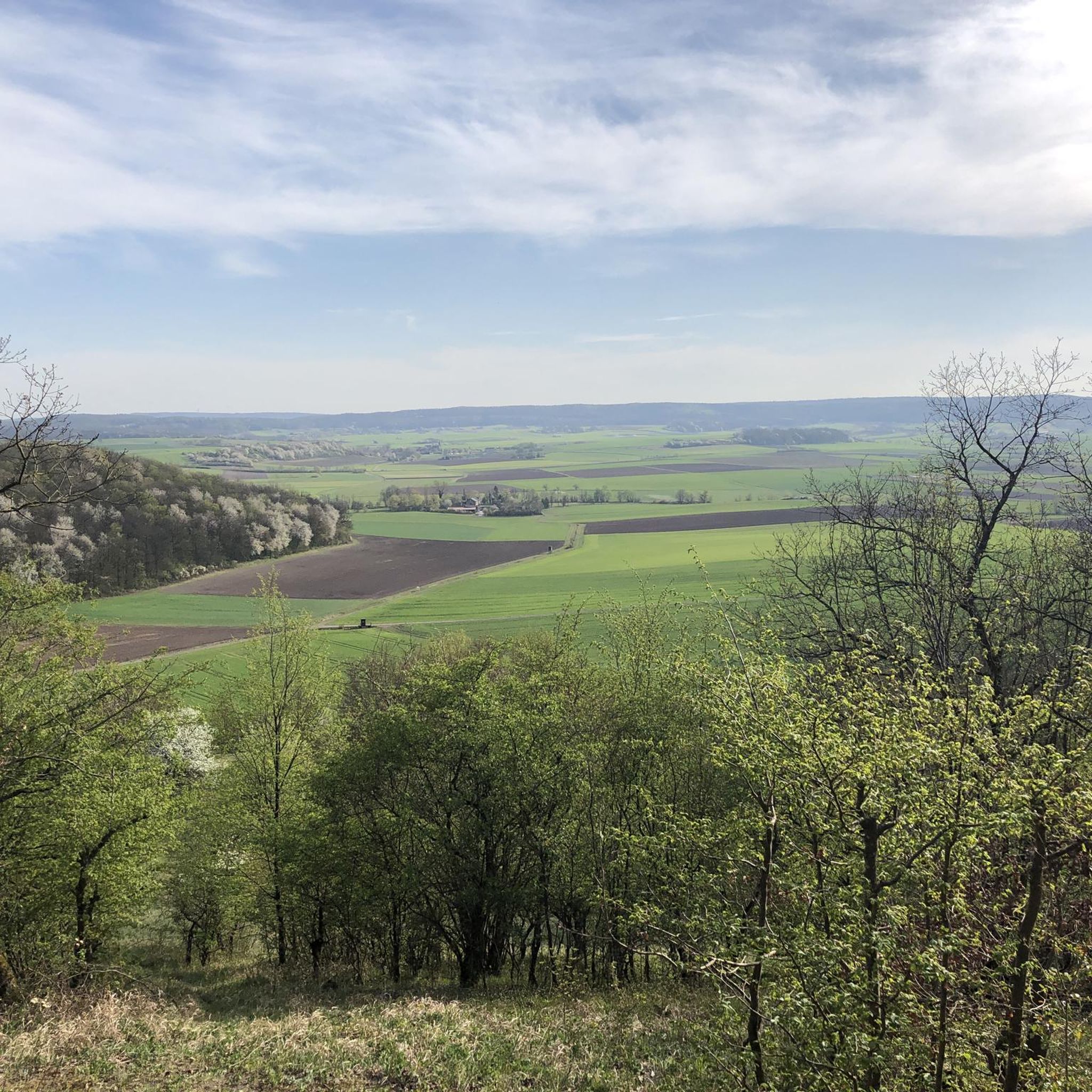
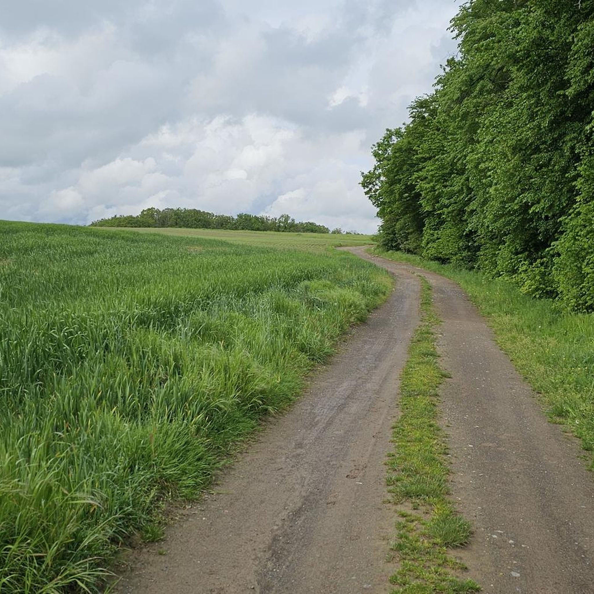
Hiking trails in Laubwälder Bei Bad Königshofen traverse a diverse landscape characterized by extensive deciduous forests and varied terrain within the Rhön-Grabfeld district of Bavaria. The region features the prominent Gleichberge Mountains, including the Großer Gleichberg at 679 meters and the Kleiner Gleichberg, known for its volcanic basalt formations and historical sites. These natural features contribute to a range of hiking experiences, from gentle forest paths to more challenging ascents.
Best hiking trails in Laubwälder Bei Bad Königshofen
- The most…
Last updated: July 1, 2026
4.9
(32)
17
hikers
Hard hike. Very good fitness required. Easily-accessible paths. Suitable for all skill levels.
5.0
(2)
12
hikers
9.57km
02:35
130m
130m
Moderate hike. Good fitness required. Easily-accessible paths. Suitable for all skill levels.

Sign up for free
5.0
(2)
11
hikers
13.5km
03:36
150m
150m
Moderate hike. Good fitness required. Easily-accessible paths. Suitable for all skill levels.
5.0
(2)
10
hikers
Easy hike. Great for any fitness level. Easily-accessible paths. Suitable for all skill levels.
4.0
(4)
7
hikers
Easy hike. Great for any fitness level. Easily-accessible paths. Suitable for all skill levels.
Get access to more routes and recommendations from other explorers.
Sign up for free
Already have an account?
Our route recommendations are based on thousands of hikes, rides, and runs completed by other people on komoot.
Start today with a free account
Your next adventure awaits.
Login or Signup
Popular around Laubwälder Bei Bad Königshofen
Other adventures in Laubwälder Bei Bad Königshofen

Tips from the Community

2026-04-18: Unfortunately, the Schirmsee has been completely dry since last year. We'll have to wait and see if that changes again...
0
0

The "Weissbildkapelle" (White Image Chapel) above Fridritt is a small wayside chapel/place of worship. It lies on the path between Fridritt and Maria Bildhausen and is part of a hiking/pilgrimage route. It offers views, places to rest, and is popular with walkers and worshippers exploring the Franconian Marian Way or local trails. The chapel is more of a local wayside chapel/place of worship and is not a major historical monument with a comprehensive history – it is considered an agricultural/nature-oriented place for reflection and rest.
0
0

The former inner-German border ran here between Henneberg, Thuringia, and Eußenhausen, Bavaria. After the fall of the Berlin Wall, a sculpture park with relics from that era was created here to commemorate the division of Germany. A beautiful place to pause and reflect!
0
0

I don't have any photos, it rained
0
0

The Roman Catholic parish church of the Holy Trinity is the village church of Saal an der Saale in the Rhön-Grabfeld district of Lower Franconia. The church is one of the listed buildings of Saal an der Saale and is registered in the Bavarian Register of Monuments under number D-6-73-160-13. Saal an der Saale is part of the parish community "Around the Findelberg." Source: https://de.m.wikipedia.org/wiki/Heilige_Dreifaltigkeit_(Saal_an_der_Saale)
10
0


Frequently Asked Questions
How many hiking trails are available in Laubwälder Bei Bad Königshofen?
The Laubwälder Bei Bad Königshofen region offers a wide variety of hiking experiences, with over 1,900 hiking tours available. These range from easy strolls to more challenging multi-hour treks.
What kind of terrain can I expect on the trails?
The terrain in Laubwälder Bei Bad Königshofen is diverse, characterized by extensive deciduous forests and varied landscapes. You'll find gentle forest paths, but also more challenging ascents, particularly around the prominent Gleichberge Mountains, which feature volcanic basalt formations and historical Celtic ramparts.
Are there hiking options for different fitness levels?
Yes, the region caters to all fitness levels. Out of over 1,900 tours, there are more than 1,000 easy routes, nearly 800 moderate options, and around 50 difficult trails for experienced hikers seeking a challenge.
What natural features or landmarks can I see while hiking?
Hikers can explore significant natural and historical attractions. The Gleichberge Mountains are a highlight, featuring the historic Steinsburg Ruins on Kleiner Gleichberg and panoramic views from Großer Gleichberg. You'll also encounter unique 'Blockfelder' (basalt cones) and remnants of Celtic ramparts. For specific points of interest, consider visiting the Rothöhenblick Viewpoint or the Blößeiche Natural Monument.
Are there any family-friendly hiking trails?
Yes, the region offers many family-friendly options, particularly among the numerous easy trails. These paths often lead through deciduous forests, providing a refreshing and verdant atmosphere suitable for all ages. For example, the Maria Bildhausen Monastery – Maria Bildhausen Monastery loop from Maria Bildhausen is an easy 2.4-mile (3.9 km) trail that takes just over an hour to complete.
What do other hikers say about the trails in Laubwälder Bei Bad Königshofen?
The hiking trails in Laubwälder Bei Bad Königshofen are highly regarded by the komoot community, holding an average rating of 4.5 stars from over 5,100 reviews. Hikers often praise the diverse landscapes, from extensive forests to volcanic formations, and the well-maintained network of paths suitable for various abilities.
Are there any circular hiking routes?
Yes, many routes in the region are designed as loops, allowing you to start and end at the same point. Examples include the challenging Maria Bildhausen Monastery – Münnerstadt Market Square loop from Maria Bildhausen, or the moderate Maria Bildhausen Monastery – Weissbild Chapel loop from Maria Bildhausen.
What is the best time of year to go hiking in Laubwälder Bei Bad Königshofen?
The deciduous forests of Laubwälder Bei Bad Königshofen offer a rich and changing natural environment throughout the seasons. Spring and summer bring lush greenery, while autumn transforms the landscape with vibrant colors, making these seasons particularly appealing for hiking.
Can I find easy, shorter walks in the area?
Absolutely. With over 1,000 easy routes, there are plenty of options for shorter, less strenuous walks. These trails often lead through the beautiful deciduous forests, perfect for a relaxing outing. An example is the Sculpture Park of German Unity – Reclining bench on Grenzweg loop from Henneberg, an easy 3.2-mile (5.1 km) path.
Are there any historical sites to explore along the trails?
Yes, the region is rich in history. The Gleichberge Mountains are home to ancient Celtic settlements and the historic Steinsburg Ruins. You can also find remnants of Celtic ramparts, adding a historical dimension to your hike. The Herbstadt Stone Cross and Rest Area is another historical point of interest.
What are some longer, more challenging hikes available?
For those seeking a more demanding experience, there are nearly 50 difficult routes. A notable challenging option is the Maria Bildhausen Monastery – Münnerstadt Market Square loop from Maria Bildhausen, a 15.2-mile (24.4 km) trail with significant elevation gain, typically taking over 6 hours to complete.
Most popular routes in Laubwälder Bei Bad Königshofen
Most popular attractions in Laubwälder Bei Bad Königshofen

Get inspired with the komoot mobile app


Explore more
Browse the best Hikes in other regions.
