The best walks and hikes in Wässernachtal Im Landkreis Haßfurt - Teil I
4.5
(2212)
9,073
hikers
567
hikes
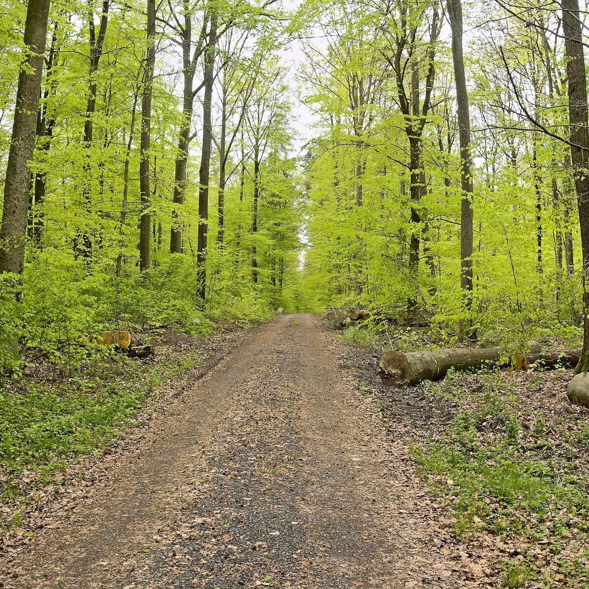
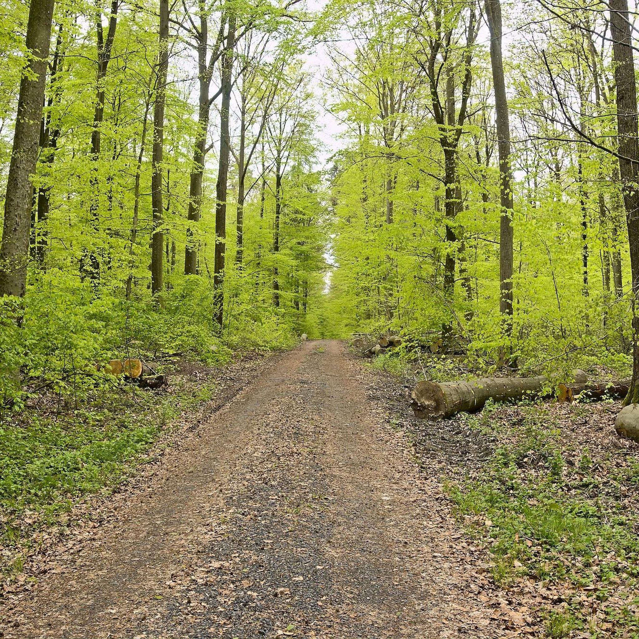
Hiking in Wässernachtal Im Landkreis Haßfurt - Teil I offers diverse landscapes within the Haßberge Nature Park. The region features gentle hills, dense forests, and picturesque river valleys, with the Wässernach stream forming a central natural biotope. Hikers encounter natural stream landscapes, floodplains, and adjacent valley slopes covered in beech forests and hedgerow structures. The area also includes the Wässernach waterfalls, enhancing the scenic beauty of the trails.
Best hiking trails in Wässernachtal Im Landkreis Haßfurt - Teil I
- The…
Last updated: July 1, 2026
4.6
(8)
20
hikers
Moderate hike. Good fitness required. Easily-accessible paths. Suitable for all skill levels.
5.0
(4)
16
hikers
6.86km
01:49
60m
60m
Easy hike. Great for any fitness level. Easily-accessible paths. Suitable for all skill levels.

Sign up for free
5.0
(2)
11
hikers
Moderate hike. Good fitness required. Easily-accessible paths. Suitable for all skill levels.
5.0
(3)
11
hikers
Easy hike. Great for any fitness level. Easily-accessible paths. Suitable for all skill levels.
5.0
(3)
8
hikers
11.1km
02:56
110m
110m
Moderate hike. Good fitness required. Easily-accessible paths. Suitable for all skill levels.
Get access to more routes and recommendations from other explorers.
Sign up for free
Already have an account?
Our route recommendations are based on thousands of hikes, rides, and runs completed by other people on komoot.
Start today with a free account
Your next adventure awaits.
Login or Signup
Popular around Wässernachtal Im Landkreis Haßfurt - Teil I

Tips from the Community

The path is unfortunately currently anything but glorious. Fallen trees, steep slopes, and the path has been partially washed away by the rain
0
0
Unfortunately, in recent years, I have always driven along there at low water levels. I have never seen such a beautiful waterfall as in the first picture. Nevertheless, a beautiful area.
0
0

Nice beer garden, unfortunately I was too early, it was still closed
2
0
Great view there. Next time, stop by right away.
0
0

Absolutely recommended! There are always places here where the four-legged friends can cool off in hot temperatures.
0
0
Here you can simply enjoy the peace and quiet and your eyes will have plenty to marvel at. With a small blanket you can make yourself comfortable here in the Wässernachtal and catch a few rays of sunshine.
0
0

A beautiful spot in Lower Franconia on the edge of the Haßberge
0
0
A beautiful spot in Lower Franconia with a quiet forest and rippling water
0
0
Frequently Asked Questions
How many hiking trails are available in Wässernachtal Im Landkreis Haßfurt - Teil I?
The Wässernachtal Im Landkreis Haßfurt - Teil I region offers a wide variety of hiking experiences, with over 580 routes available. These range from easy strolls to more challenging treks, ensuring options for all fitness levels.
Are there family-friendly hiking options in Wässernachtal Im Landkreis Haßfurt - Teil I?
Yes, the region provides many family-friendly trails. Over 330 routes are classified as easy, making them suitable for families. An excellent option is the Rednershof Playground – Pond in Wässernachtal loop from Riedbach, an easy 6.9 km path that takes about 1 hour 49 minutes, perfect for a leisurely family outing.
Can I bring my dog on the hiking trails in Wässernachtal Im Landkreis Haßfurt - Teil I?
Wässernachtal is generally dog-friendly, offering many paths through its natural landscapes. While specific leash rules for the entire nature reserve aren't detailed, it's always recommended to keep dogs on a leash, especially in sensitive natural areas and near wildlife, to protect both your pet and the local ecosystem. The diverse terrain provides plenty of opportunities for walks with your canine companion.
Are there any circular hiking routes in Wässernachtal Im Landkreis Haßfurt - Teil I?
Yes, many of the trails in Wässernachtal Im Landkreis Haßfurt - Teil I are designed as circular routes, allowing you to start and end at the same point. For example, the Rednershof Village – Wässernach Stream loop offers a moderate 10.7 km experience through varied terrain along the stream.
What kind of natural features can I expect to see while hiking in Wässernachtal Im Landkreis Haßfurt - Teil I?
The Wässernachtal is rich in natural beauty. You'll encounter gentle hills, dense beech forests, and picturesque river valleys. The Wässernach stream is a central feature, with natural stream landscapes and floodplains. A highlight for many are the scenic Wässernach waterfalls. The area is also part of the Haßberge Nature Park, known for its diverse ecosystems and abundant flora and fauna.
Are there any waterfalls in Wässernachtal Im Landkreis Haßfurt - Teil I?
Yes, the Wässernachtal is home to the scenic Wässernach waterfalls, which are a popular attraction. You can explore them on routes like the Wässernach Waterfalls – Entrance to the Wässernachtal loop, a moderate 12.5 km path that takes you directly to these beautiful natural features.
What is the best time of year to go hiking in Wässernachtal Im Landkreis Haßfurt - Teil I?
The Wässernachtal offers enjoyable hiking experiences throughout much of the year. Spring brings lush greenery and blooming wildflowers, while autumn showcases vibrant fall foliage in the beech forests. Summer is ideal for enjoying the stream landscapes, though some paths can feel 'jungle-like' and require careful footing. Winter hiking is possible, but conditions may vary, so checking local weather is always advised.
Are there any viewpoints or scenic spots along the trails?
While specific named viewpoints are not highlighted, the region's gentle hills and varied landscapes within the Haßberge Nature Park offer numerous scenic spots. You'll find picturesque views over river valleys, through dense forests, and along the Wässernach stream, especially on routes that traverse higher ground or open sections. The 'jungle-like paths' themselves offer an immersive and unique natural perspective.
What is the difficulty level of hikes in Wässernachtal Im Landkreis Haßfurt - Teil I?
The hiking trails in Wässernachtal Im Landkreis Haßfurt - Teil I cater to a range of abilities. There are over 330 easy routes, perfect for casual walkers or families, and 233 moderate routes for those seeking a bit more challenge. A smaller number of difficult routes (14) are also available for experienced hikers. The overall terrain includes gentle hills and varied surfaces, from forest paths to stream-side trails.
Is public transport available to access the hiking areas in Wässernachtal Im Landkreis Haßfurt - Teil I?
While the region is primarily accessed by car, some villages near the Wässernachtal, such as Rednershof, may have limited bus connections. For specific routes and schedules, it's advisable to check local public transport information for the Haßfurt district, especially if planning to reach trailheads without a private vehicle.
Where can I find parking for the hiking trails?
Parking is generally available near the starting points of many trails in the Wässernachtal. Villages like Rednershof, which serve as common access points for the region's hikes, typically offer designated parking areas for visitors. It's recommended to look for local signage upon arrival to find the most convenient spots.
What do other hikers say about the trails in Wässernachtal Im Landkreis Haßfurt - Teil I?
The trails in Wässernachtal Im Landkreis Haßfurt - Teil I are highly regarded by the komoot community, boasting an average rating of 4.5 stars from over 2,100 reviews. Hikers often praise the region's diverse landscapes, the tranquility of the forests, and the unique experience of walking along the Wässernach stream, especially the 'jungle-like paths' and the waterfalls.
Most popular routes in Wässernachtal Im Landkreis Haßfurt - Teil I

Get inspired with the komoot mobile app


Explore more
Browse the best Hikes in other regions.
