Standortübungsplatz 'Brönnhof' Und Umgebung
Standortübungsplatz 'Brönnhof' Und Umgebung
The best walks and hikes in Standortübungsplatz 'Brönnhof' Und Umgebung
4.5
(4668)
19,544
hikers
31
hikes
Hiking in Standortübungsplatz 'Brönnhof' Und Umgebung offers diverse natural landscapes within a former military training area. Designated as Bavaria's largest National Natural Heritage site, the region features a mix of ancient forests, expansive open grasslands, and wetlands. The terrain includes nutrient-poor meadows, calcareous dry grasslands, and ponds, providing varied environments for outdoor activities.
Best hiking trails in Standortübungsplatz 'Brönnhof' Und Umgebung
- The most popular hiking route is Pond in Brönnhof Training Area – Greinberg loop from Üchtelhausen, a 5.9…
Last updated: July 1, 2026
4.0
(5)
15
hikers
Moderate hike. Good fitness required. Easily-accessible paths. Suitable for all skill levels.
4.3
(3)
10
hikers
Moderate hike. Good fitness required. Easily-accessible paths. Suitable for all skill levels.

Sign up for free
4.4
(5)
14
hikers
7.03km
01:55
100m
100m
Easy hike. Great for any fitness level. Easily-accessible paths. Suitable for all skill levels.
4.5
(4)
6
hikers
Easy hike. Great for any fitness level. Easily-accessible paths. Suitable for all skill levels.
5.0
(4)
22
hikers
8.33km
02:13
90m
90m
Moderate hike. Good fitness required. Easily-accessible paths. Suitable for all skill levels.
Get access to more routes and recommendations from other explorers.
Sign up for free
Already have an account?
Our route recommendations are based on thousands of hikes, rides, and runs completed by other people on komoot.
Start today with a free account
Your next adventure awaits.
Login or Signup
Popular around Standortübungsplatz 'Brönnhof' Und Umgebung
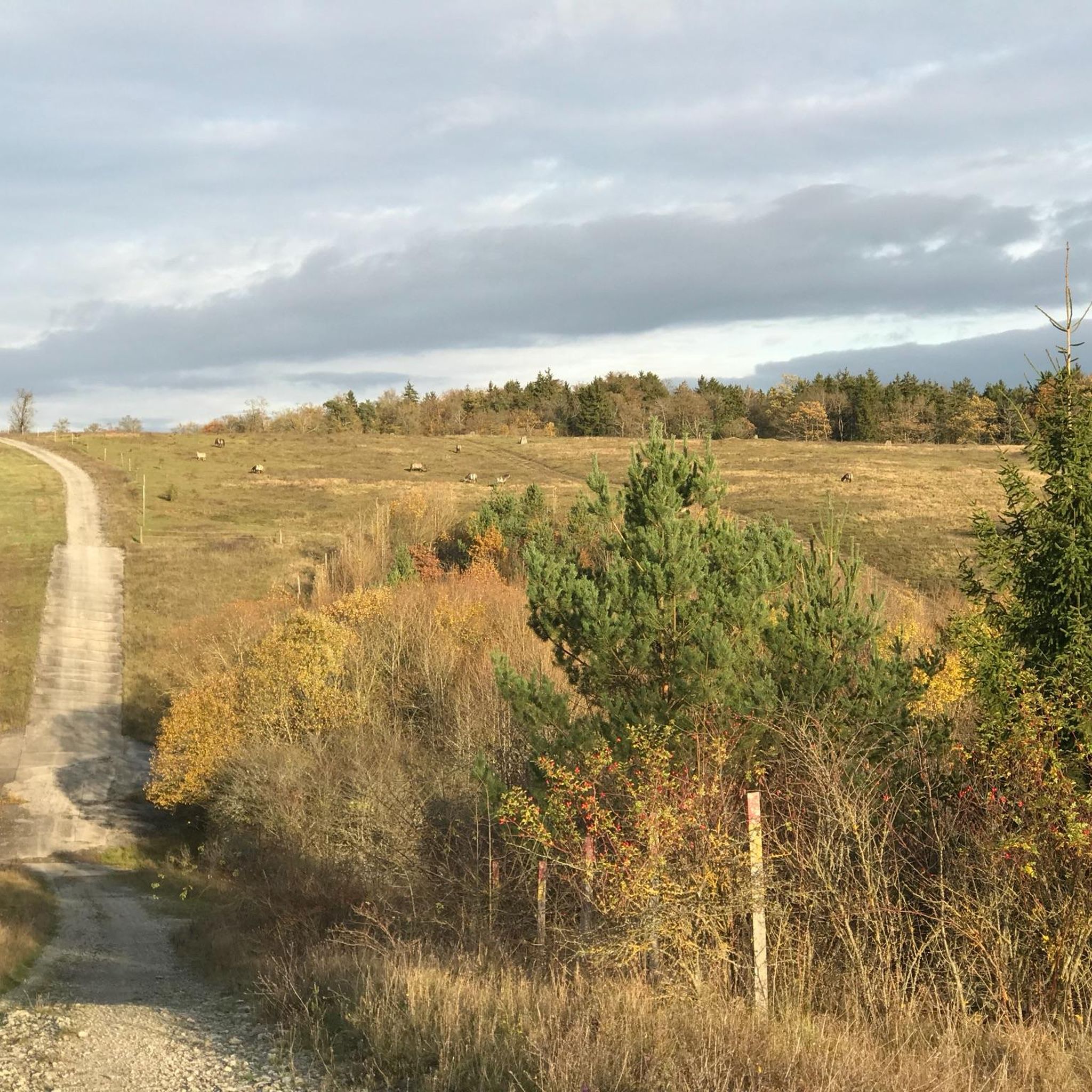
Cycling in Standortübungsplatz 'Brönnhof' Und Umgebung
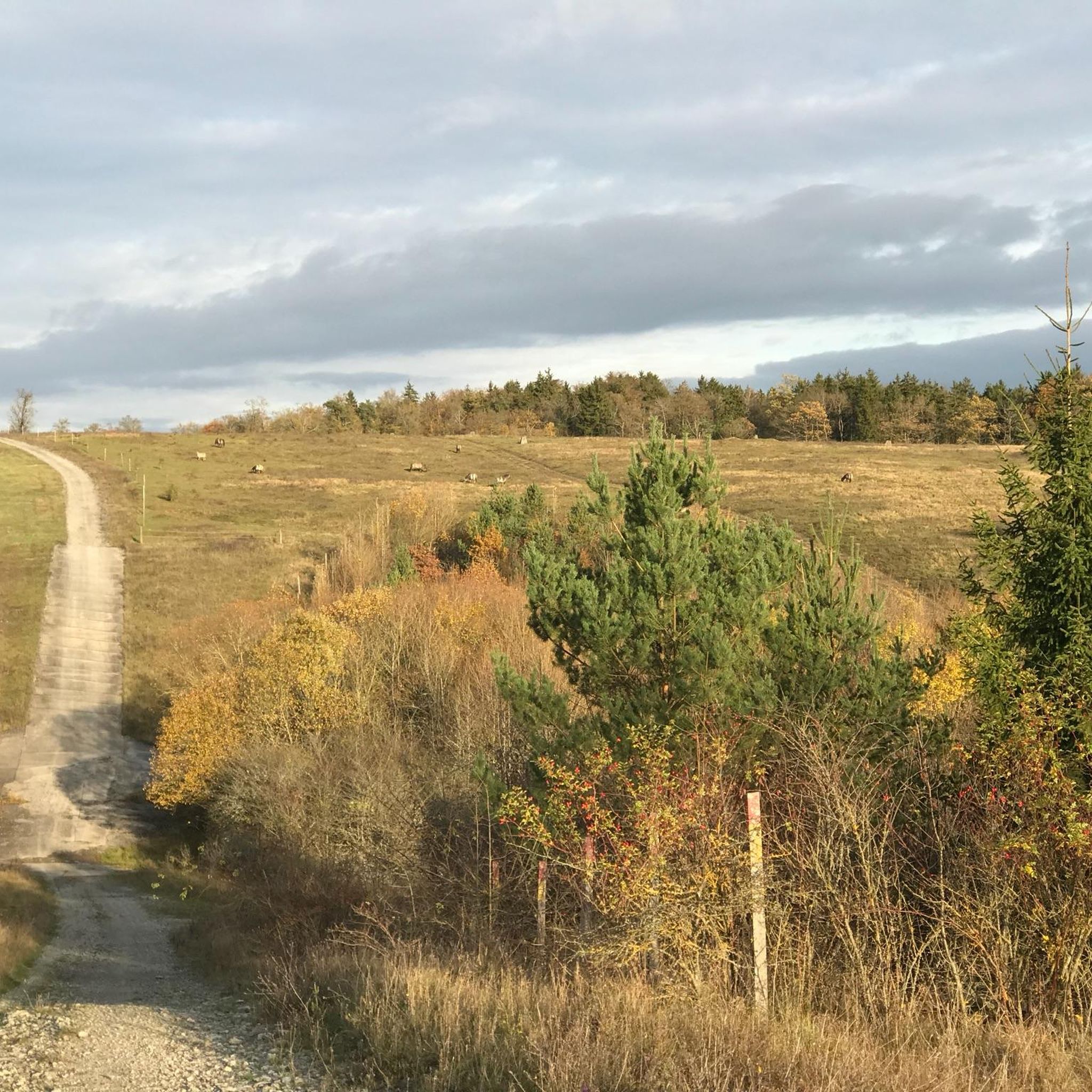
Road Cycling Routes in Standortübungsplatz 'Brönnhof' Und Umgebung
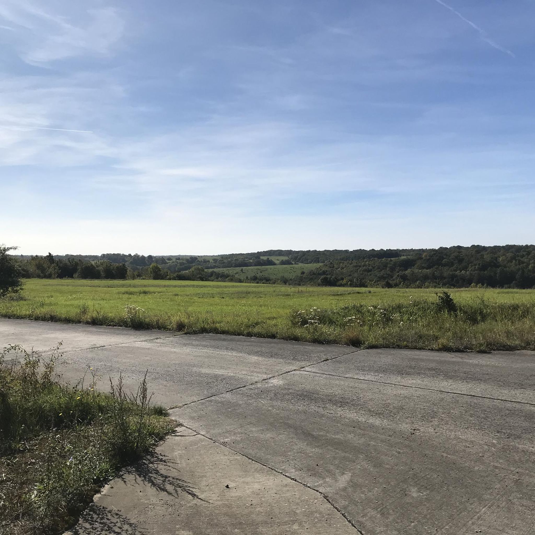
MTB Trails in Standortübungsplatz 'Brönnhof' Und Umgebung
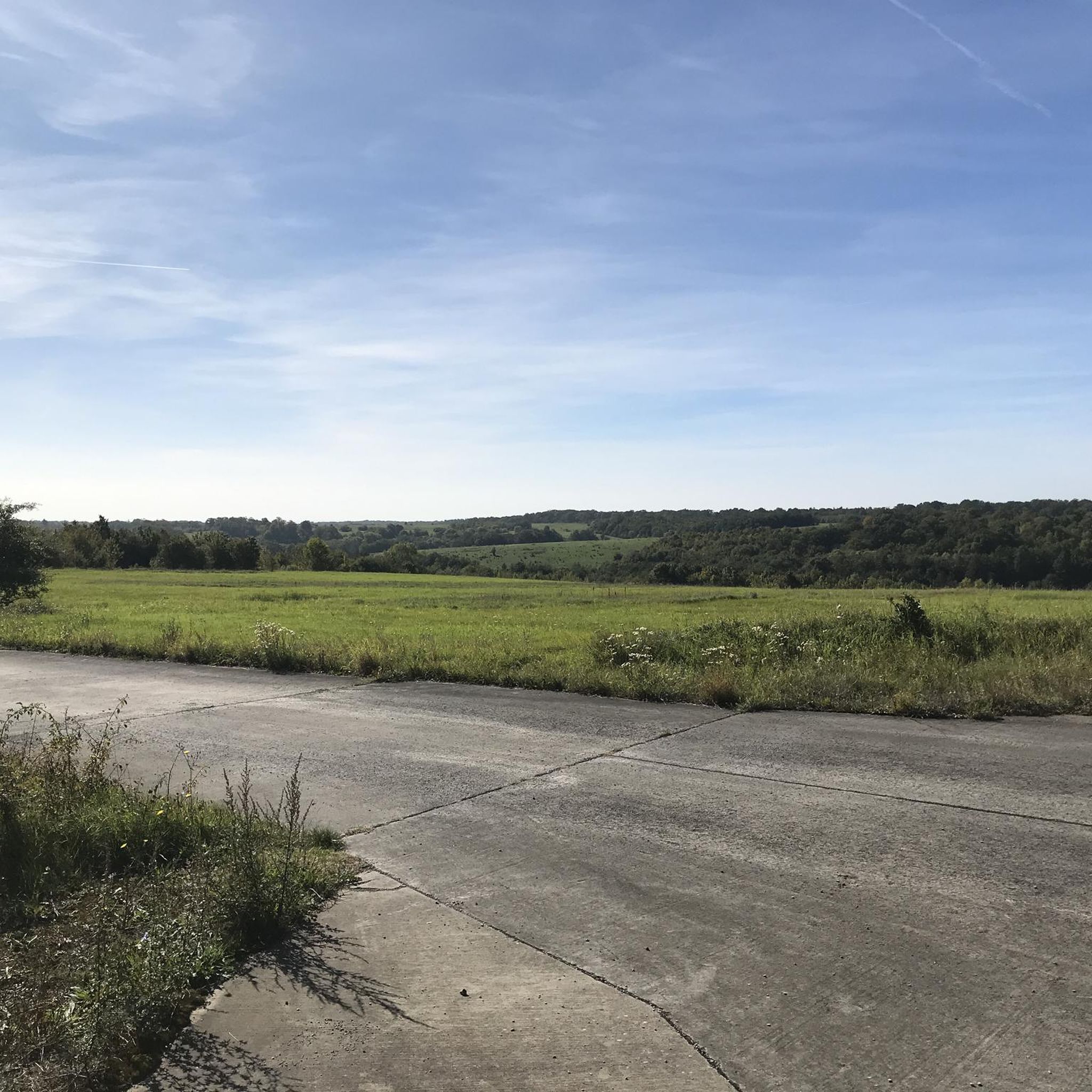
Running Trails in Standortübungsplatz 'Brönnhof' Und Umgebung
Gravel biking in Standortübungsplatz 'Brönnhof' Und Umgebung
Tips from the Community

The Konik (from Polish: little horse, small horse) is a pony breed from Central and Eastern Europe. These ponies are very robust and are used in agriculture as well as in the conservation of numerous nature reserves, such as Geltinger Birk (Baltic Sea), Schmidtenhöhe (Koblenz), Brönnhof near Schweinfurt, the Lower Lusatian post-mining landscape of Schlabendorf North, and in the Polish Białowieża National Park, where they are kept in extensive farming practices. The largest population lives in Oostvaardersplassen in the Netherlands under almost wild conditions. The Konik's movements are energetic and tireless in all gaits. The Konik has a limited jumping ability and is characterized by its high resilience. Koniks are considered willing, calm, and undemanding. The breed is known for its longevity. Koniks are a very people-friendly breed and are not shy, even when raised in the wild.[2] Foals, in particular, often maintain contact with people. Konik horses behave dominantly towards other, even larger, breeds within a herd. (Wikipedia)
1
0
We were lucky and saw the beautiful Konik horses.
0
0
Remnants of underground bunker systems, typical of training grounds, are present – however, they are not a large, interconnected bunker complex open to the public. The area contains several military installations and bunker remnants, some surrounded by fences and earthworks.
0
0
The Brönnhof is an approximately 25.3 square kilometer area in the Schweinfurt district, predominantly wooded and uninhabited. The centerpiece of the area is the former Brönnhof farmstead, after which the entire area is named. From 1936 to 2014, the area was used as a military training ground, initially by the Wehrmacht and from the 1960s onward as a training area for the US Army (the third largest US Army training area in Europe). After the withdrawal of US troops in 2014, the area lost its military function and was prepared for new uses. A central part of the Brönnhof is now designated as part of the National Natural Heritage – making it one of the largest nature reserves and development areas in Bavaria. (KI)
0
0

The shelter has been renovated. Very nice view.
0
0


Beautiful area and good for a run 🙏🏼
0
0

Unfortunately we didn't see any horses because they were very shy and ran away from us, so to speak.
1
1
Frequently Asked Questions
How many hiking trails are available in Standortübungsplatz 'Brönnhof' Und Umgebung?
The 'Brönnhof' area offers a well-developed network of paths, with over 30 hiking routes available on komoot. These range from easy walks to more challenging tours, catering to various fitness levels.
What is the general difficulty level of hikes in the 'Brönnhof' area?
The majority of hikes in Standortübungsplatz 'Brönnhof' Und Umgebung are classified as easy or moderate. There are 22 easy routes and 9 moderate routes, making the area accessible for most hikers. There are no difficult routes listed.
Are there family-friendly hiking options in Standortübungsplatz 'Brönnhof' Und Umgebung?
Yes, with a significant number of easy routes, the 'Brönnhof' area is suitable for families. Many trails feature diverse landscapes and points of interest that can keep children engaged. For example, the Greinberg – Commander's mound loop from Üchtelhausen is an easy 4.4-mile (7.0 km) trail that can be completed in under two hours.
Can I bring my dog on the hiking trails in 'Brönnhof'?
Yes, dogs are generally welcome on the hiking trails in Standortübungsplatz 'Brönnhof' Und Umgebung. However, as a National Natural Heritage site with sensitive ecosystems and grazing animals like Angus cattle and Konik horses, it is crucial to keep dogs on a leash to protect wildlife and livestock.
Are there any circular hiking routes in the 'Brönnhof' area?
Yes, many routes in the 'Brönnhof' area are designed as circular walks. An example is the Brönnhof Bunker Complex – Pond in Brönnhof Training Area loop from Dittelbrunn, an easy 4.0-mile (6.5 km) route that allows you to explore both historical elements and natural beauty.
What kind of natural landscapes can I expect to see while hiking in 'Brönnhof'?
Hikers in 'Brönnhof' will experience a diverse range of natural landscapes. These include ancient oak and beech forests, expansive open areas with nutrient-poor grasslands and calcareous dry grasslands, as well as wetlands and ponds. The area is also home to a rich biodiversity, supporting many endangered plant and animal species.
Are there any historical sites or points of interest along the trails?
Yes, the 'Brönnhof' area, being a former US military training ground, features remnants of its past. You can encounter historical elements such as the Brönnhof Bunkerkomplex and other former military buildings. The Brönnhof Deserted Village and Medieval Cross is another notable historical site.
What are some notable natural attractions or landmarks to look out for?
Beyond the diverse landscapes, you can discover several natural attractions. The Brönnhof Conservation Area itself is a highlight, known for its ancient forests and open land ecosystems. Keep an eye out for the Wild Horses at Brönnhof Training Area, which are part of the extensive grazing efforts to maintain the unique grasslands.
Where can I park when visiting Standortübungsplatz 'Brönnhof' Und Umgebung for a hike?
Designated parking areas are typically available near trailheads and access points to the 'Brönnhof' area. It's advisable to check specific route descriptions on komoot for recommended starting points and parking information, often found in nearby villages like Üchtelhausen or Dittelbrunn.
What do other hikers enjoy the most about hiking in Standortübungsplatz 'Brönnhof' Und Umgebung?
The area is highly rated by the komoot community, with an average score of 4.4 stars from over 60 reviews. Hikers often praise the diverse and well-preserved natural landscapes, the extensive trail network, and the unique blend of natural beauty with historical elements from its military past. The peaceful atmosphere and opportunities for wildlife spotting are also frequently mentioned.
Is public transport available to access the hiking trails in 'Brönnhof'?
While the 'Brönnhof' area is primarily accessed by car, some local bus services may connect surrounding villages to larger towns like Schweinfurt. However, direct public transport links to specific trailheads within the former training area might be limited. Planning your journey in advance is recommended.
What is the best time of year to hike in Standortübungsplatz 'Brönnhof' Und Umgebung?
The 'Brönnhof' area offers enjoyable hiking experiences throughout the year. Spring brings blooming wildflowers to the grasslands, summer provides lush green forests, and autumn showcases vibrant foliage. Even in winter, the landscape offers a unique, tranquil beauty, though some paths might be muddy or icy. Always check local weather conditions before heading out.
Most popular routes in Standortübungsplatz 'Brönnhof' Und Umgebung
Most popular attractions in Standortübungsplatz 'Brönnhof' Und Umgebung

Get inspired with the komoot mobile app


Explore more
Browse the best Hikes in other regions.
