Trockengebiete Bei Machtilshausen
Trockengebiete Bei Machtilshausen
The best road cycling routes in Trockengebiete Bei Machtilshausen
4.6
(394)
4,675
riders
179
rides
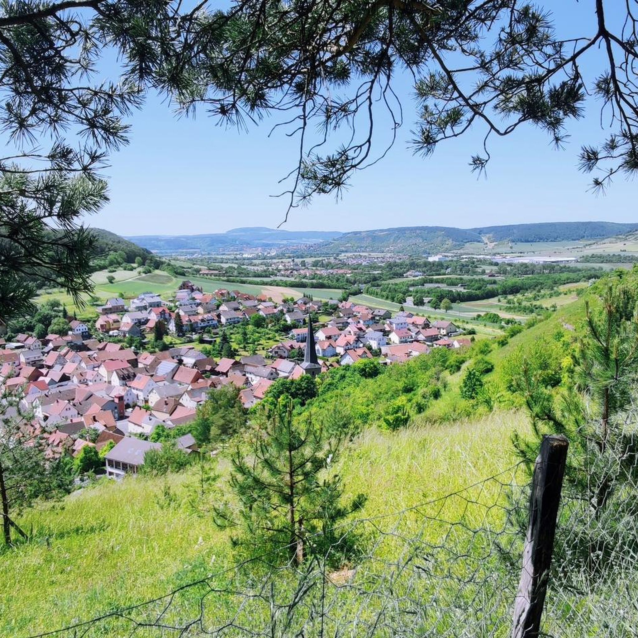
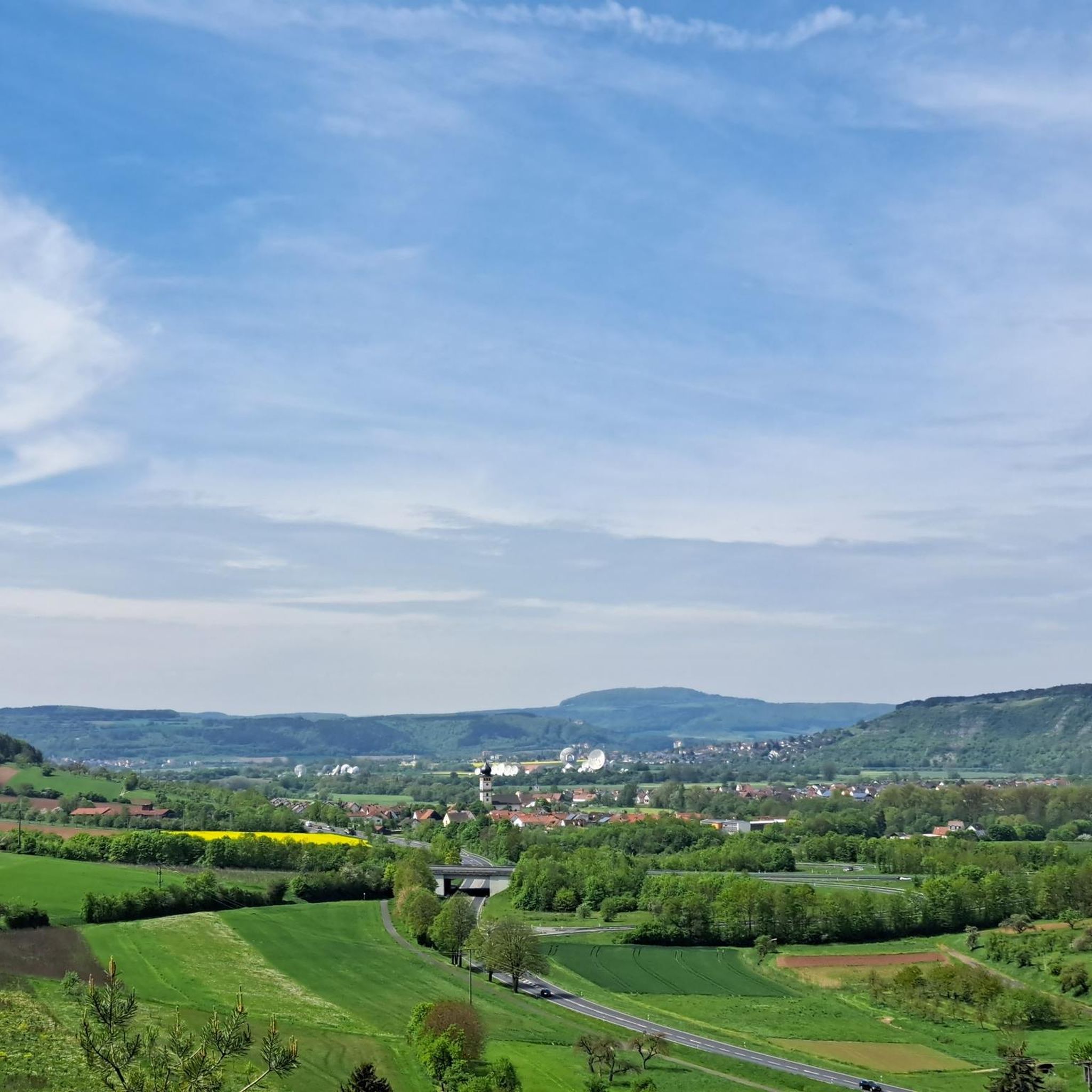
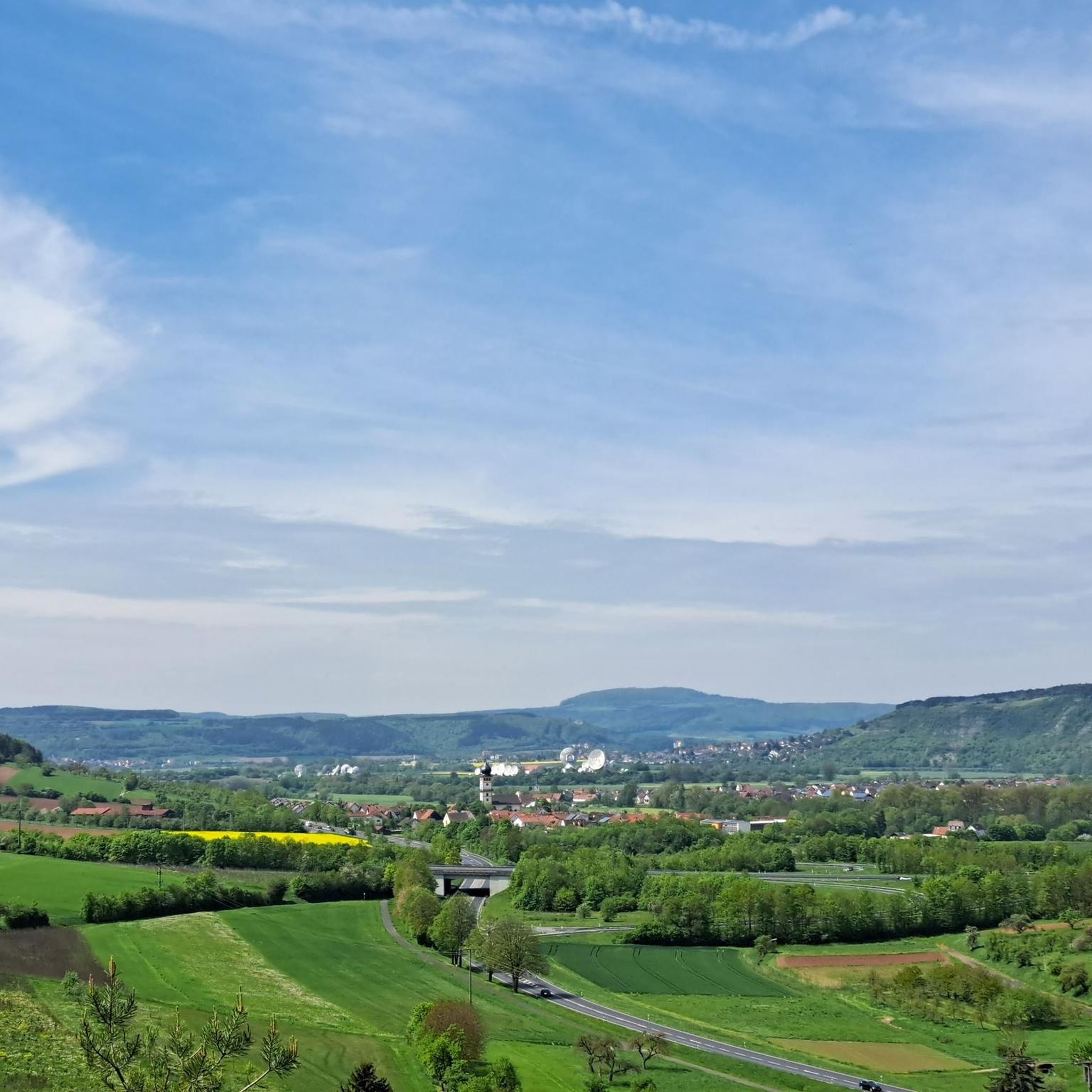
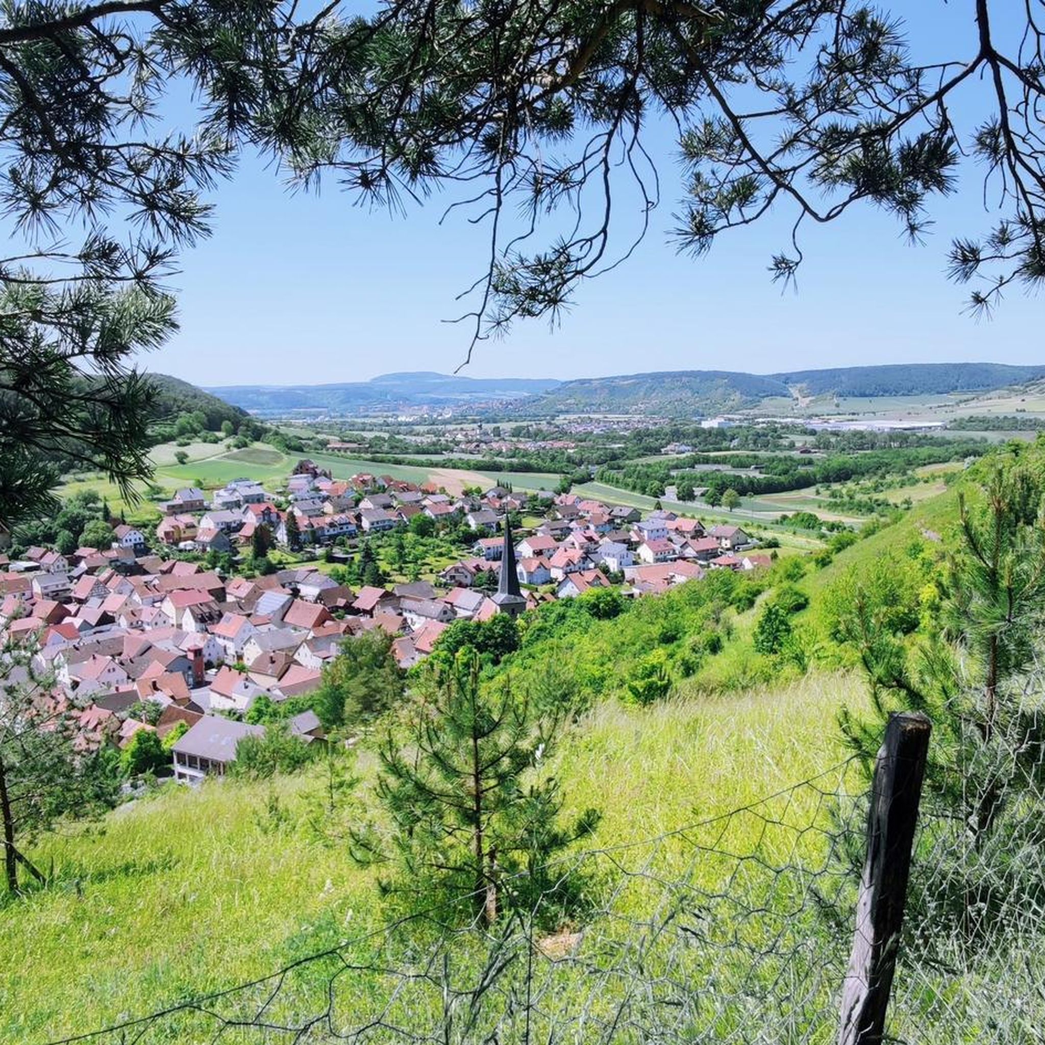
Road cycling routes in Trockengebiete Bei Machtilshausen traverse a landscape characterized by its unique "dry areas" and the picturesque Franconian Saale Valley. The region features a blend of vineyards, tranquil forests, and limestone formations, offering varied backdrops for rides. Cyclists can expect routes with diverse terrain and frequent panoramic views of the surrounding area and the village of Machtilshausen. This area in Lower Franconia provides an extensive network of cycling options for various skill levels.
Best road cycling routes in…
Last updated: August 25, 2026
4.4
(7)
42
riders
Moderate road ride. Good fitness required. Some segments of this route may be unpaved and difficult to ride.
5.0
(2)
35
riders
82.8km
04:27
1,460m
1,460m
Hard road ride. Very good fitness required. Some segments of this route may be unpaved and difficult to ride.

Sign up for free
1.0
(1)
25
riders
Moderate road ride. Good fitness required. Mostly well-paved surfaces and easy to ride.
22
riders
67.7km
03:20
1,000m
1,000m
Hard road ride. Very good fitness required. Mostly well-paved surfaces and easy to ride.
4.0
(3)
28
riders
Moderate road ride. Good fitness required. Some segments of this route may be unpaved and difficult to ride.
Get access to more routes and recommendations from other explorers.
Sign up for free
Already have an account?
Our route recommendations are based on thousands of hikes, rides, and runs completed by other people on komoot.
Start today with a free account
Your next adventure awaits.
Login or Signup
Tips from the Community

The Arnsberg is located northwest of the Kreuzberg in the Bavarian Rhön. It is a striking and widely visible mountain, 842 m high, which belongs to the natural region of the Hohe Rhön.
1
0

The Gradierwerk is unfortunately currently a construction site
0
0

After the Kleinbrach church was demolished due to the relocation of the main road, the present-day Church of St. Joachim and Anna was built between 1882 and 1883 according to plans by the district architect von Morandell. The church is a small neo-Gothic hall church with a recessed polygonal apse and a small roof turret above the entrance.[1] The relatively small church building is elaborately decorated with flat buttresses, tracery windows, and portal framing.[1] The original neo-Gothic furnishings from the time of the church's construction, including the high altar, side altars, pews, and painted Stations of the Cross, are completely preserved. Wikipedia
0
0

A poet and thinker. Born in Schweinfurt and died in Coburg.
2
0


A great view of the Arnsberg, which unfortunately isn't accessible by road bike. But there are other bikes and hiking boots available.
0
0
Beautiful views into the distance and of the nearby Kreuzberg and Arnsberg mountains. Anyone who still has the energy at this point should tackle the last few meters to the Kreuzberg summit. The path is paved all the way to the summit, making it suitable for road bikes.
0
0
Hammelburg has a beautiful, picturesque old town with many historic buildings around the market square. A quick stop on your bike tour is well worth it!
0
0
Frequently Asked Questions
How many road cycling routes are available in Trockengebiete Bei Machtilshausen?
There are over 180 road cycling routes available in Trockengebiete Bei Machtilshausen. This extensive network caters to various skill levels, from leisurely tours to more challenging long-distance rides.
What kind of terrain can I expect on road cycling routes in Trockengebiete Bei Machtilshausen?
Road cycling in this region offers a diverse landscape. You'll encounter the unique "dry areas" that give the region its name, the picturesque Franconian Saale Valley, and a harmonious blend of lush vineyards and tranquil forests. Routes often feature varied terrain and provide frequent panoramic views of the surrounding area and the village of Machtilshausen.
What are the difficulty levels of road cycling routes in this region?
The routes in Trockengebiete Bei Machtilshausen cater to all abilities. You can find around 30 easy routes, over 110 moderate routes, and approximately 35 difficult routes, ensuring options for every experience level.
Are there any long-distance or challenging road cycling routes for experienced riders?
Yes, for experienced riders seeking a challenge, there are several difficult routes. One notable option is the Kreuzberg Monastery – View of Arnsberg loop from Elfershausen-Trimberg, which covers over 80 km and features significant elevation gain.
Can I find moderate-difficulty road cycling routes that offer scenic views?
Absolutely. Many moderate routes provide excellent scenic views. A popular choice is the Hammelburg Old Town – Ornate Gate of Gauaschach loop from Elfershausen (VGem), a 60 km route offering beautiful views of the Saale Valley.
Are there any interesting landmarks or viewpoints along the road cycling routes?
The region is rich in landmarks and viewpoints. You can discover unique geological features like limestone formations and historic lime kilns, such as the Machtilshausen Lime Kiln. Many routes also offer stunning panoramic views, including the Panorama Trail in the Trockengebiete near Machtilshausen.
What natural features define the landscape for road cyclists in Trockengebiete Bei Machtilshausen?
The landscape is characterized by its unique "dry areas," the picturesque Franconian Saale Valley, and a blend of vineyards and forests. These elements create a varied and visually appealing backdrop for road cycling, often providing expansive views.
What do other road cyclists enjoy the most about road cycling in Trockengebiete Bei Machtilshausen?
The area is highly rated by the komoot community, with an average score of 4.6 stars from over 300 reviews. Cyclists often praise the varied terrain, the beautiful views of the Saale Valley, and the well-maintained network of routes that cater to different skill levels.
Are there circular road cycling routes available in the region?
Yes, many road cycling routes in Trockengebiete Bei Machtilshausen are designed as circular tours, allowing you to start and end at the same point. An example is the Bench with a view of Trimburg – Aschach Castle loop from Elfershausen-Trimberg, a moderate 42 km ride.
What is the best time of year for road cycling in Trockengebiete Bei Machtilshausen?
While specific weather conditions vary, the spring and autumn months generally offer pleasant temperatures and beautiful scenery for road cycling. Summer can also be enjoyable, especially in the mornings or late afternoons, to avoid the warmest parts of the day.
Are there any other moderate routes that explore different parts of the region?
Certainly. The Bench with a view of Trimburg – Kneipp pool Oberwerrn loop from Elfershausen-Trimberg is another excellent moderate route, covering nearly 60 km and offering diverse scenery through the area.
Can I find routes that feature historical elements?
Yes, the region's history is often intertwined with its landscape. You can find routes that pass by historical sites or geological formations. For instance, the presence of historic lime kilns and limestone formations suggests routes that might offer glimpses into the area's industrial past.
Most popular routes in Trockengebiete Bei Machtilshausen
Most popular attractions in Trockengebiete Bei Machtilshausen

Get inspired with the komoot mobile app


Explore more
Browse the best Road cycling routes in other regions.
