Wälder Und Trockenstandorte Bei Bad Kissingen Und Münnerstadt
Wälder Und Trockenstandorte Bei Bad Kissingen Und Münnerstadt
The best road cycling routes in Wälder Und Trockenstandorte Bei Bad Kissingen Und Münnerstadt
4.6
(918)
8,435
riders
499
rides
Road cycling routes in Wälder Und Trockenstandorte Bei Bad Kissingen Und Münnerstadt traverse a landscape characterized by extensive forests and unique dry habitats within a low mountain range in Franconia. The region features woodlands, clear streams, and hills alongside romantic valleys, with the Saale river providing idyllic paths. Geological formations include limestone grasslands and juniper heaths on steep slopes, offering varied terrain for road cyclists. This area, part of a Natura 2000 Fauna-Flora-Habitat, provides a network of paved roads suitable…
Last updated: July 1, 2026
5.0
(31)
70
riders
53.4km
02:24
530m
530m
Moderate road ride. Good fitness required. Some segments of this route may be unpaved and difficult to ride.
5.0
(5)
51
riders
59.5km
03:05
990m
990m
Hard road ride. Very good fitness required. Mostly well-paved surfaces and easy to ride.

Sign up for free
3.0
(2)
33
riders
Moderate road ride. Good fitness required. Some segments of this route may be unpaved and difficult to ride.
16
riders
69.8km
03:18
910m
910m
Hard road ride. Very good fitness required. Some segments of this route may be unpaved and difficult to ride.
4.0
(2)
17
riders
38.2km
01:42
360m
360m
Moderate road ride. Good fitness required. Some segments of this route may be unpaved and difficult to ride.
Get access to more routes and recommendations from other explorers.
Sign up for free
Already have an account?
Our route recommendations are based on thousands of hikes, rides, and runs completed by other people on komoot.
Start today with a free account
Your next adventure awaits.
Login or Signup
Popular around Wälder Und Trockenstandorte Bei Bad Kissingen Und Münnerstadt
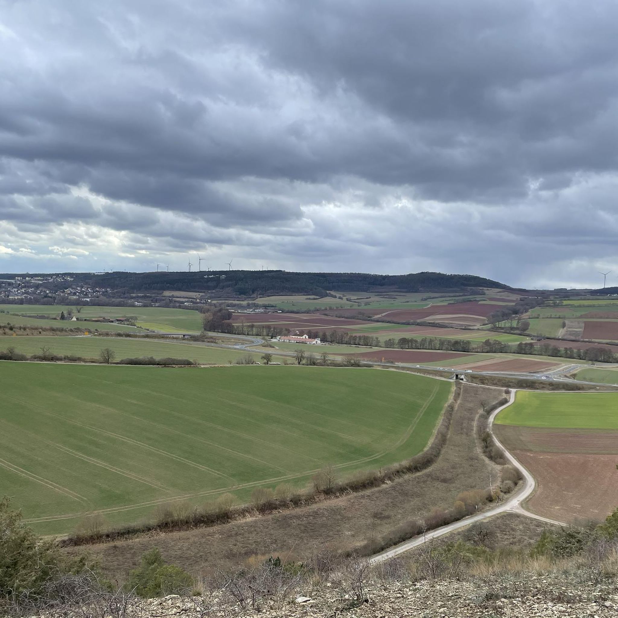
Cycling in Wälder Und Trockenstandorte Bei Bad Kissingen Und Münnerstadt
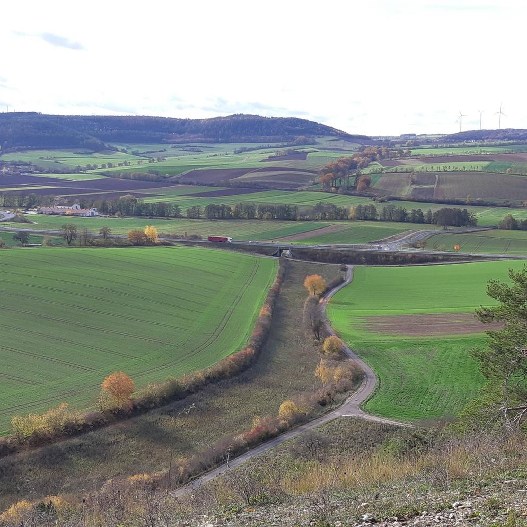
MTB Trails in Wälder Und Trockenstandorte Bei Bad Kissingen Und Münnerstadt
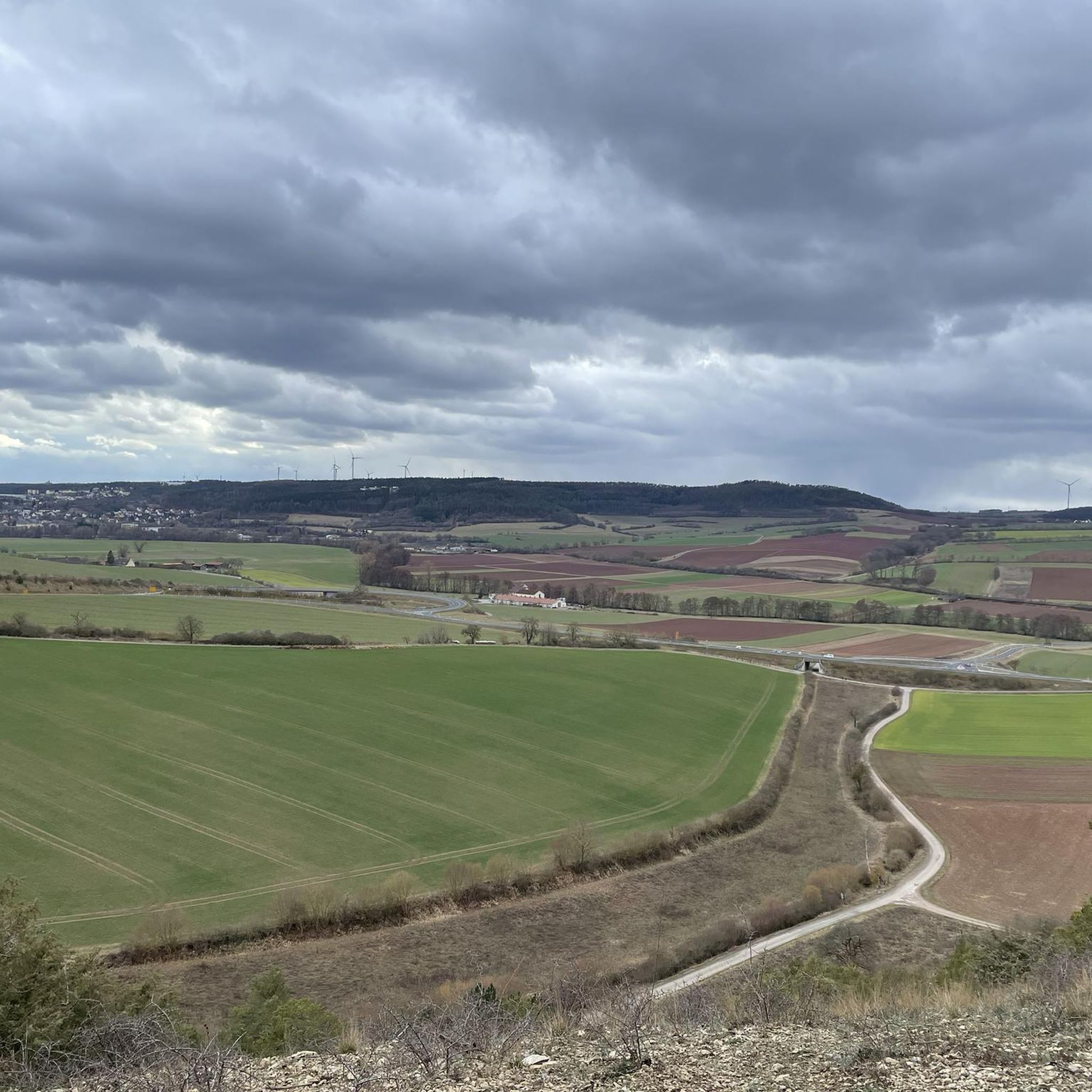
Hiking in Wälder Und Trockenstandorte Bei Bad Kissingen Und Münnerstadt

Gravel biking in Wälder Und Trockenstandorte Bei Bad Kissingen Und Münnerstadt
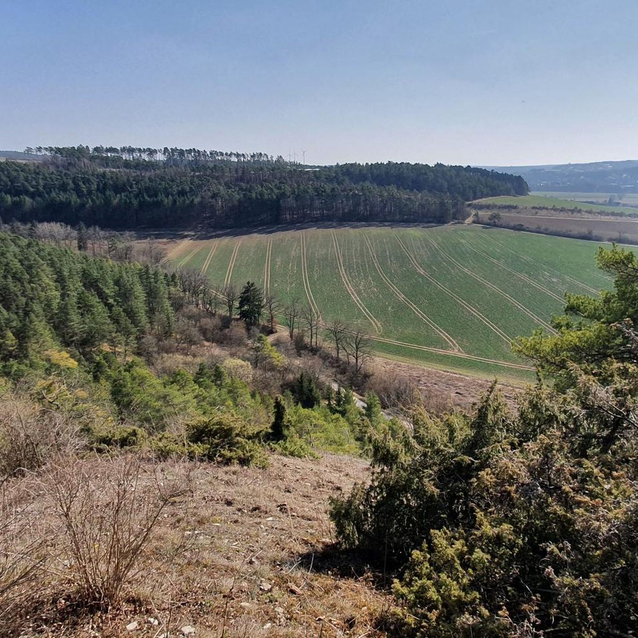
Running Trails in Wälder Und Trockenstandorte Bei Bad Kissingen Und Münnerstadt
Tips from the Community

The Arnsberg is located northwest of the Kreuzberg in the Bavarian Rhön. It is a striking and widely visible mountain, 842 m high, which belongs to the natural region of the Hohe Rhön.
1
0

The Gradierwerk is unfortunately currently a construction site
0
0

Invites you to rest if the weather is nice ;)
0
0

A really great castle in such a small town
0
0

Roman Catholic Parish Church of the Nativity of Mary - Before the establishment of the parish, Hambach was likely a branch of Maibach. Prince-Bishop Julius Echter von Mespelbrunn had the chancel tower of the church built around 1600 on Romanesque foundations. The nave, originally built with two window bays, was constructed in 1734 and extended by two more window bays in 1928. Two side wings were added between 1988 and 1990. The nave is oriented towards the eastern chancel in the lower level of the church tower. The church tower is built in the Echter style. The walls of the nave are pierced to create transitions to the northern and southern side wings. The church furnishings are Baroque, dating from the time the nave was built. The central figure of the high altar, which, like the side altars, has two columns, is a gilded Madonna and Child. The pulpit depicts the four Evangelists. Next to it, a crucifix from 1952. Wikipedia
0
0
After the Kleinbrach church was demolished due to the relocation of the main road, the present-day Church of St. Joachim and Anna was built between 1882 and 1883 according to plans by the district architect von Morandell. The church is a small neo-Gothic hall church with a recessed polygonal apse and a small roof turret above the entrance.[1] The relatively small church building is elaborately decorated with flat buttresses, tracery windows, and portal framing.[1] The original neo-Gothic furnishings from the time of the church's construction, including the high altar, side altars, pews, and painted Stations of the Cross, are completely preserved. Wikipedia
0
0
The Ruppelmühle is particularly well-known; it is housed in a brick building dating from 1900 and generates 90 kW of electricity through two turbines, primarily for the attached milling operation, where approximately 20 tons of grain are milled daily. (Wikipedia)
0
0

A beautiful bike path without bumps or potholes. With a nice rest area and even bike racks.
0
0
Frequently Asked Questions
How many road cycling routes are available in Wälder Und Trockenstandorte Bei Bad Kissingen Und Münnerstadt?
There are over 500 road cycling routes in Wälder Und Trockenstandorte Bei Bad Kissingen Und Münnerstadt. This includes a wide variety of options, with over 50 easy routes, more than 300 moderate routes, and nearly 140 difficult routes to choose from.
What kind of terrain can I expect on road cycling routes in this region?
The region offers diverse terrain, characterized by extensive forests, unique dry habitats, and a low mountain range. You'll encounter woodlands, clear streams, and hills alongside romantic valleys. Many routes follow the Saale river, providing idyllic paths. While some routes feature significant climbs, many are on predominantly paved roads, making them suitable for road cycling.
Are there road cycling routes suitable for beginners or those seeking an easier ride?
Yes, the region offers numerous easier road cycling routes. For instance, an easy 13.3 km tour along the Fränkische Saale river, passing the Rosengarten in Bad Kissingen, features a modest 70-meter elevation gain. Overall, there are over 50 easy routes available, providing gentle rides through the landscape.
Can I find challenging road cycling routes with significant elevation gains?
Absolutely. For experienced road cyclists, there are nearly 140 difficult routes with significant elevation gains. An example is the Kreuzberg Monastery – View of Arnsberg loop from Bad Bocklet, a challenging 59.2 km route with an elevation gain of over 980 meters, offering expansive views of the surrounding area.
Are there any family-friendly road cycling options in the area?
While specific 'family-friendly' road cycling routes are not explicitly categorized, the easier routes along the Saale river, such as those near Bad Kissingen, with their modest elevation and paved surfaces, can be suitable for families. These routes often pass through scenic areas and offer a relaxed cycling experience.
What natural features or landmarks can I see while road cycling here?
Road cycling routes in the region often pass by significant natural features and cultural landmarks. You might encounter the picturesque Kaskadental gorge with its artificial cascades, or the serene Kaskadentalbach (Ilgenbach). In Münnerstadt, the baroque pilgrimage church Talkirche is a notable historical site. Bad Kissingen offers attractions like the Rosengarten and various healing springs.
Are there circular road cycling routes available?
Yes, many road cycling routes in the region are designed as loops. For example, the Schmalwassergrund – Saale Weir in Unterebersbach loop from Hausen is a moderate 53.4 km route. Another popular option is the Cycle Path Pfändhausen–Hambach – Old Town Hall loop from Burglauer, covering 61.9 km through varied terrain.
What is the best time of year for road cycling in Wälder Und Trockenstandorte Bei Bad Kissingen Und Münnerstadt?
The region is generally suitable for road cycling from spring through autumn. The warmer months offer pleasant conditions to explore the woodlands, dry habitats, and river valleys. While winter cycling might be possible, some paths could be affected by weather, so spring and summer are ideal for enjoying the full beauty of the landscape.
Where can I find parking for road cycling routes in the region?
Many towns and villages in the region, such as Bad Kissingen and Münnerstadt, offer public parking facilities that can serve as starting points for road cycling tours. Specific trailhead access points often have designated parking areas. It's advisable to check local signage upon arrival for the most current parking information.
What do other road cyclists enjoy most about road cycling in Wälder Und Trockenstandorte Bei Bad Kissingen Und Münnerstadt?
The area is highly rated by the komoot community, with an average score of 4.6 stars from over 800 reviews. Road cyclists often praise the varied terrain, the extensive network of paved roads, and the scenic beauty of the forests, dry habitats, and river valleys. The combination of challenging climbs and gentle riverside paths is frequently highlighted.
Are there road cycling routes that pass through or near Bad Kissingen?
Yes, Bad Kissingen is a central point for many road cycling routes. You can find easy tours along the Fränkische Saale river that pass through the town, allowing you to experience its historic spa attractions like the Rosengarten. Many routes also start or pass near Bad Kissingen, connecting to the wider regional network.
Can I combine road cycling with other outdoor activities in the region?
Absolutely. The region is rich in outdoor activities. After a road cycling tour, you could explore over 60 easy hiking trails, visit the Klaushof Wildlife Park, or walk the 'Pfad der Baumgiganten' (Path of the Giant Trees) in the Bad Kissingen forest. The Saale river also offers opportunities for canoeing.
Most popular routes in Wälder Und Trockenstandorte Bei Bad Kissingen Und Münnerstadt
Most popular attractions in Wälder Und Trockenstandorte Bei Bad Kissingen Und Münnerstadt

Get inspired with the komoot mobile app


Explore more
Browse the best Road cycling routes in other regions.
