The best road cycling routes in Tal Der Brend
4.7
(676)
5,968
riders
39
rides
Road cycling routes in Tal Der Brend traverse a landscape characterized by the Brend river valley, rolling hills, and woodlands within the broader Rhön Mountains region. This area, part of Lower Franconia, Bavaria, features diverse terrain from gently hilly sections in the Grabfeld to more challenging ascents. The region is recognized for its ecological value, offering scenic routes along river valleys and through varied natural features.
Best road cycling routes in Tal Der Brend
- The most popular road cycling route…
Last updated: July 5, 2026
32
riders
106km
05:44
1,950m
1,950m
Hard road ride. Very good fitness required. Some segments of this route may be unpaved and difficult to ride.
4.5
(2)
21
riders
59.7km
03:14
1,090m
1,090m
Hard road ride. Very good fitness required. Some segments of this route may be unpaved and difficult to ride.

Sign up for free
5.0
(6)
22
riders
36.5km
01:51
580m
580m
Moderate road ride. Good fitness required. Mostly well-paved surfaces and easy to ride.
4.5
(2)
22
riders
26.0km
01:30
590m
590m
Moderate road ride. Good fitness required. Mostly well-paved surfaces and easy to ride.
12
riders
32.2km
01:44
570m
570m
Moderate road ride. Good fitness required. Some segments of this route may be unpaved and difficult to ride.
Get access to more routes and recommendations from other explorers.
Sign up for free
Already have an account?
Our route recommendations are based on thousands of hikes, rides, and runs completed by other people on komoot.
Start today with a free account
Your next adventure awaits.
Login or Signup


Other adventures in Tal Der Brend

Tips from the Community

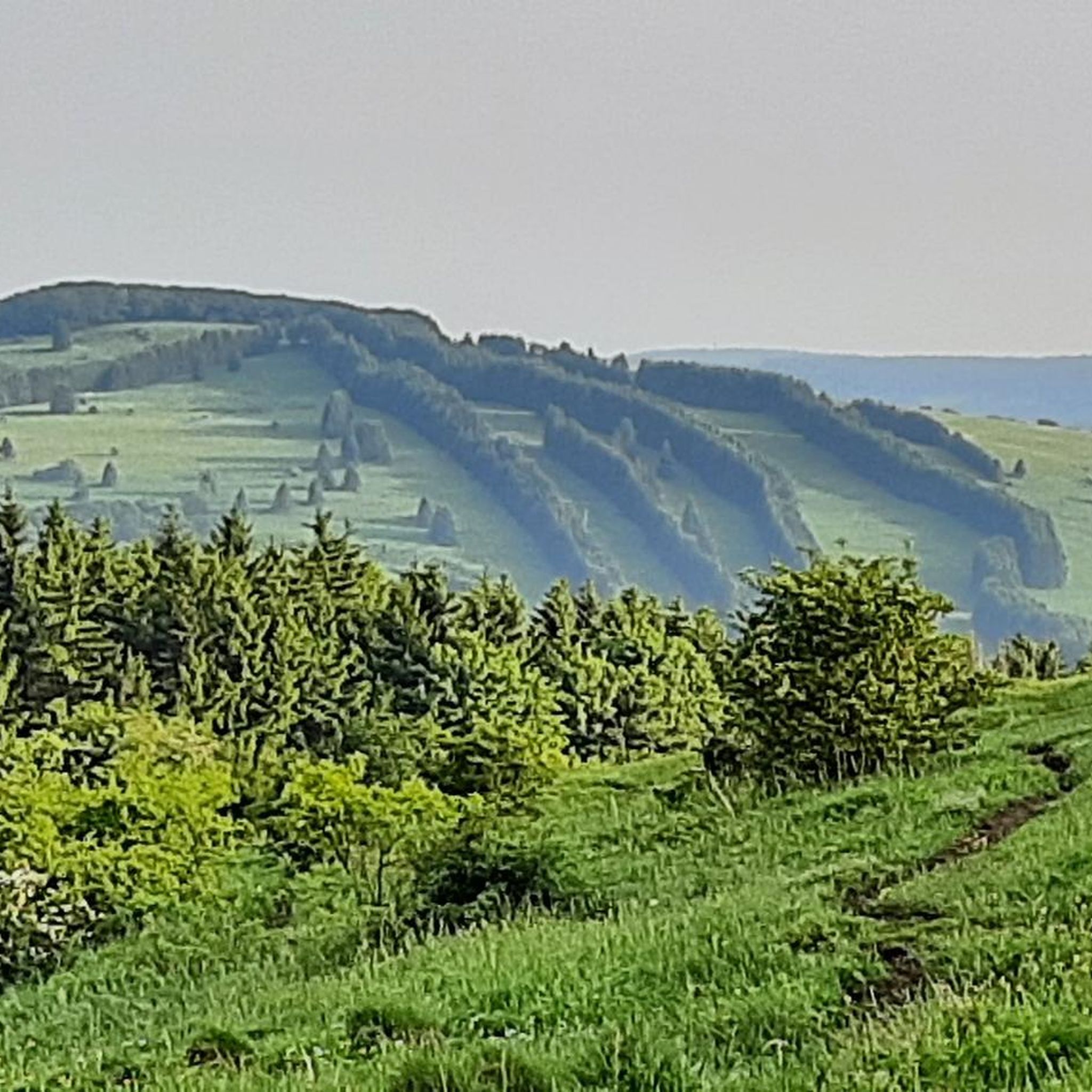
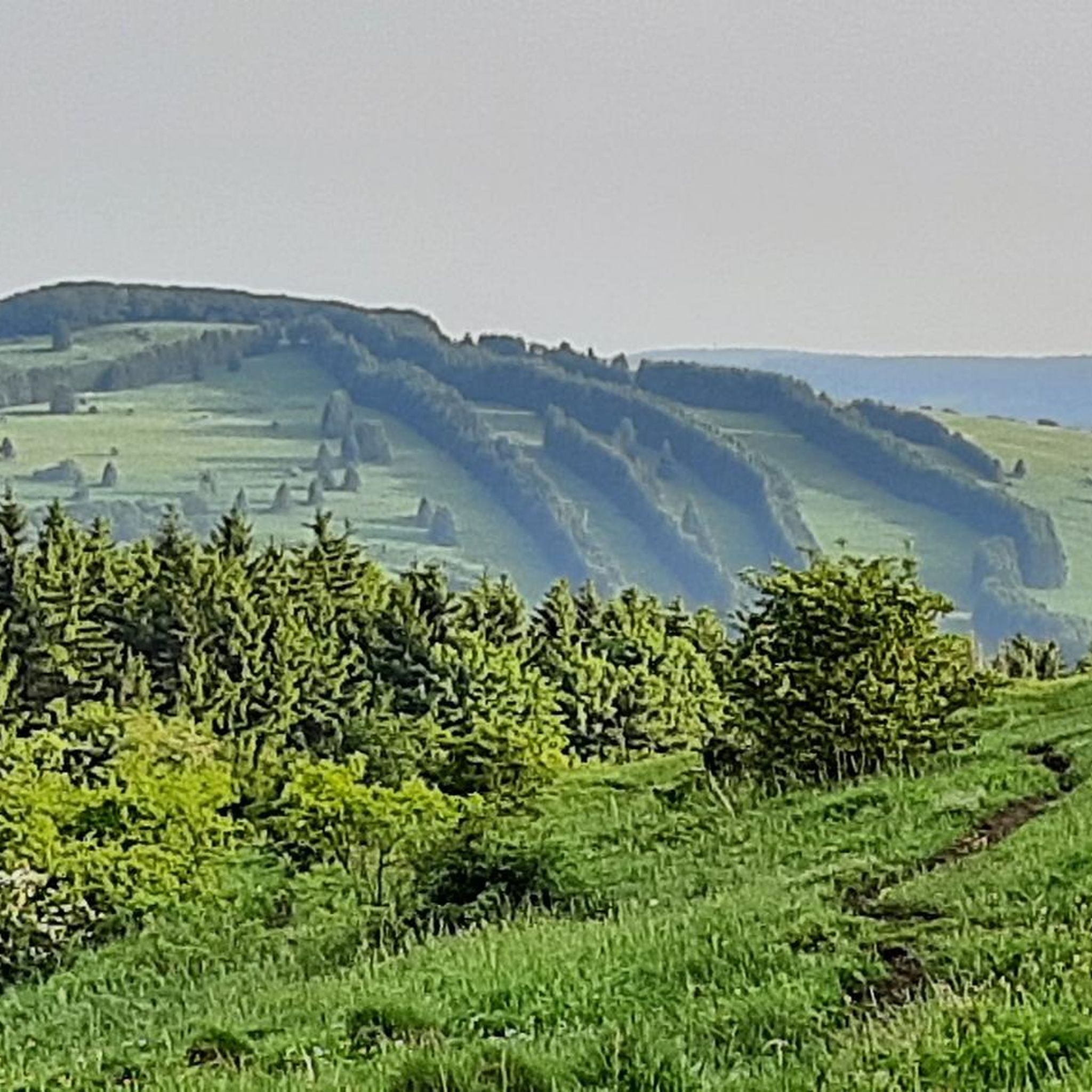
The Arnsberg is located northwest of the Kreuzberg in the Bavarian Rhön. It is a striking and widely visible mountain, 842 m high, which belongs to the natural region of the Hohe Rhön.
1
0

The newly designed market square with its two striking cast-iron fountains from the 16th century and the quaint inns invite you to linger.
1
0

Since the road surface is no longer the old one, you don't have to be afraid of flying tar patches anymore :-)
0
0

Yes, right next to Petra's snack bar, which is highly recommended.
0
0

The pearl of the Rhön.
1
0
always happy to have good coffee and cake, also outside seating
0
0
Frequently Asked Questions
How many road cycling routes are available in Tal Der Brend?
Based on komoot data, there are over 30 road cycling routes in Tal Der Brend, offering a variety of options for different skill levels. These routes traverse diverse landscapes, from river valleys to the rolling hills of the Rhön Mountains.
Are there any easy road cycling routes suitable for beginners in Tal Der Brend?
Yes, while many routes feature rolling hills, there is at least one easy road cycling route available. The region's river valleys, particularly along the Brend river, often provide flatter sections that are more accessible for those new to road cycling or looking for a relaxed ride.
Where can I find more challenging road cycling routes in Tal Der Brend?
For a significant challenge, routes like the Wasserkuppe Summit – Fasanerie Palace loop from Schönau (Brend) offer considerable elevation gain over its 106.1 km distance. These routes often venture into the higher elevations of the Rhön Mountains, providing demanding climbs and rewarding descents.
What kind of terrain can I expect on road cycling routes in Tal Der Brend?
Road cycling in Tal Der Brend offers diverse terrain. You'll find smooth asphalt along river valleys, gently rolling hills in areas like the Grabfeld, and more challenging ascents as routes climb into the broader Rhön Mountains. The region is known for its varied landscapes, including woodlands, basalt knolls, and remote plateaus.
What are some scenic viewpoints or landmarks I can see along the road cycling routes?
Many routes offer picturesque views and pass by interesting landmarks. For example, the View of Arnsberg – Kreuzberg Monastery loop from Bischofsheim in der Rhön provides views towards Arnsberg and passes by the historic Kreuzberg Monastery. You might also encounter charming half-timbered villages and other cultural points of interest typical of Lower Franconia.
Are there any specific attractions or points of interest along the routes in Tal Der Brend?
Yes, several attractions can be found along or near the road cycling routes. You might pass by the BahnRadweg R1 Brend Riverside, explore the historic Bischofsheim Town Wall, or discover the Lömbichs Brönn Fountain. The region also features quaint villages and natural beauty spots.
What is the best time of year for road cycling in Tal Der Brend?
The spring, summer, and early autumn months generally offer the best conditions for road cycling in Tal Der Brend. During these seasons, the weather is typically mild, and the landscapes are vibrant, making for enjoyable rides through the valley and surrounding hills. Always check local weather forecasts before heading out.
Are there any loop road cycling routes in Tal Der Brend?
Yes, many of the road cycling routes in Tal Der Brend are designed as loops, allowing you to start and end at the same point. Examples include the Hochrhönstraße – Franzosenweg Hochrhön loop from Schönau (Brend) and the Maria Bildhausen Monastery – Heustreu–Bad Neustadt cycle path loop from Schönau (Brend), offering convenient circular tours.
What do other road cyclists enjoy most about road cycling in Tal Der Brend?
The area is highly rated by the komoot community, with an average score of 4.7 stars from over 600 reviews. Reviewers often praise the diverse terrain, the scenic countryside, and the well-maintained roads that make for an excellent road cycling experience through the protected natural landscapes.
Are there options for food and drink along the road cycling routes?
Yes, the Lower Franconia region is known for its welcoming atmosphere, including quaint half-timbered villages with sunlit wine tasting rooms and traditional beer gardens. You might find places like the Braunsmühle Restaurant & Beer Garden along your route, offering opportunities to refuel and relax.
Is Tal Der Brend suitable for family-friendly road cycling?
While many routes involve hills, the flatter sections along the Brend river valley can be suitable for families, especially those with some cycling experience. Look for routes described as 'easy' or 'moderate' and consider shorter distances to ensure an enjoyable experience for all family members.
What is the longest road cycling route available in Tal Der Brend?
One of the longer routes is the Wasserkuppe Summit – Fasanerie Palace loop from Schönau (Brend), which spans 106.1 km. This route offers a substantial challenge for experienced road cyclists looking for an extended ride through varied landscapes.
Most popular routes in Tal Der Brend
Most popular attractions in Tal Der Brend

Get inspired with the komoot mobile app


Explore more
Browse the best Road cycling routes in other regions.
