The best running trails in Farnsberg - Totnansberg
4.3
(209)
1,180
runners
158
runs
Jogging routes in Farnsberg - Totnansberg traverse the UNESCO Biosphere Reserve Rhön, an area known as the "Schwarze Berge" (Black Mountains). This region features varied terrain, including dense spruce forests, open cultural landscapes, and distinctive basalt formations. Peaks like Totnansberg offer elevated viewpoints, while the Naturschutzgebiet Schwarze Berge ensures preserved natural beauty. The landscape provides both shaded woodland paths and expansive vistas for running.
Best jogging routes in Farnsberg - Totnansberg
- The most popular jogging route is Basalt Lake Tintenfass…
Last updated: July 2, 2026
3.3
(3)
7
runners
8.79km
01:07
320m
320m
Hard run. Very good fitness required. Mostly paved surfaces. Suitable for all skill levels.
5.0
(1)
10
runners
25.4km
03:00
640m
640m
Hard run. Very good fitness required. Mostly paved surfaces. Suitable for all skill levels.

Sign up for free
8
runners
13.1km
01:36
230m
230m
Moderate run. Good fitness required. Mostly paved surfaces. Suitable for all skill levels.
12
runners
Moderate run. Good fitness required. Mostly paved surfaces. Suitable for all skill levels.
4
runners
7.99km
00:54
150m
150m
Moderate run. Good fitness required. Mostly paved surfaces. Suitable for all skill levels.
Get access to more routes and recommendations from other explorers.
Sign up for free
Already have an account?
Our route recommendations are based on thousands of hikes, rides, and runs completed by other people on komoot.
Start today with a free account
Your next adventure awaits.
Login or Signup
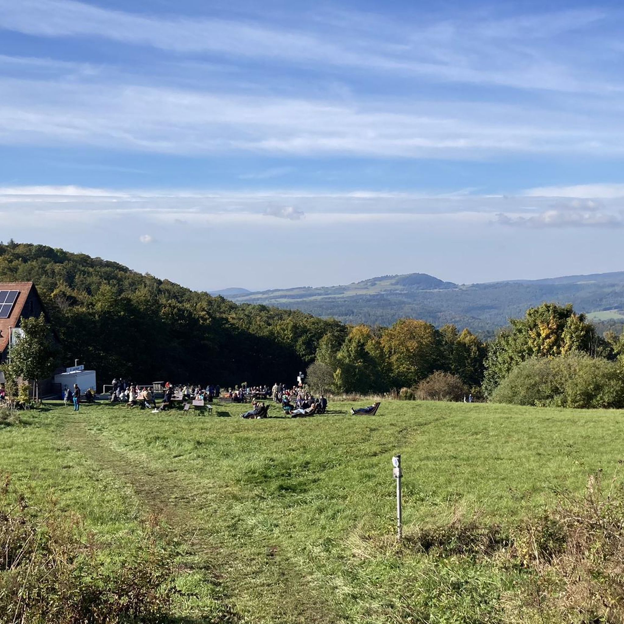
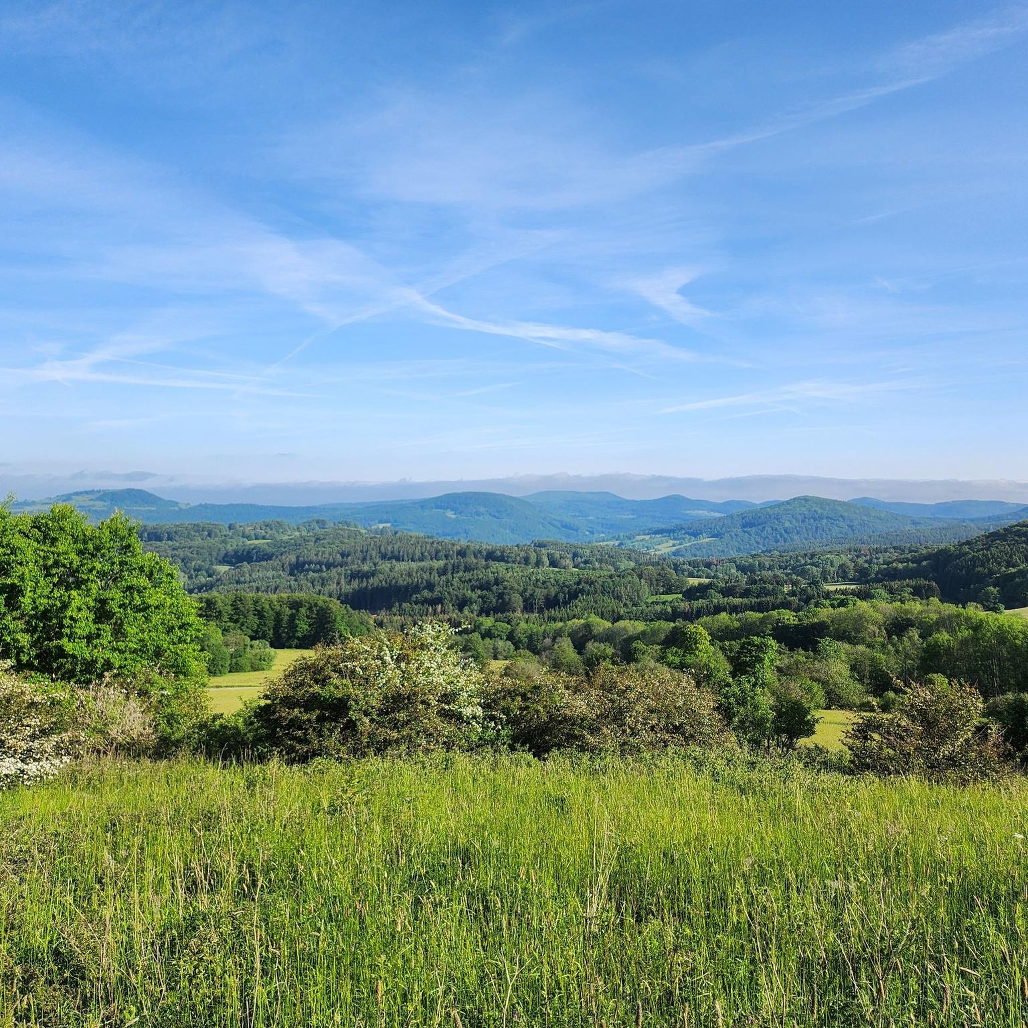

Tips from the Community

Great stone embankment, made by nature :)
0
0

Directly below the Kreuzberg is a paid hiking parking lot. From there it is only about 400 meters to the Kreuzberg monastery. Via a steep staircase, you reach the Kreuzberg (928 m above sea level). On the way, you pass three oversized crosses that represent striking waypoints. A little further up, you finally reach the even larger summit cross of the mountain. The location is part of the Bischofsheimer Gipfel-Pass with stamp number 3 (directly next to the cross pedestal).
0
0

The transmission tower from Kreuzberg can be seen in good visibility (from the top right) 😊
0
0


I really hope the hut will be rebuilt 😫 https://osthessen-news.de/n11773753/kissinger-huette-steht-in-flammen-buergermeisterin-reubelt-mir-blutet-das-herz.html
1
0

Is only open occasionally
0
0

A very beautiful route through the forest
4
1
Frequently Asked Questions
How many running routes are available in Farnsberg - Totnansberg?
Farnsberg - Totnansberg offers a wide selection of running routes, with over 130 trails to explore. These include 18 easy routes, 93 moderate paths, and 26 more challenging options, ensuring there's something for every fitness level.
What kind of terrain can I expect on the jogging routes in Farnsberg - Totnansberg?
The region, often called the "Schwarze Berge" (Black Mountains), features dense spruce forests covering mountain peaks like Farnsberg and Totnansberg. You'll find varied mountain terrain, extensive woodlands, and designated wilderness areas, providing a tranquil and often shaded environment for your run. Trails range from well-maintained paths to more natural, rugged sections.
Are there easy running routes suitable for beginners in Farnsberg - Totnansberg?
Yes, there are several easy running routes perfect for beginners or those looking for a less strenuous jog. The area offers 18 routes classified as easy, allowing you to enjoy the beautiful scenery without significant elevation changes or technical terrain. These trails are ideal for getting started or enjoying a relaxed pace.
What natural features or landmarks can I see along the running trails?
The routes in Farnsberg - Totnansberg are rich with natural beauty and interesting landmarks. You can discover the unique Basaltsee "Tintenfass" (Inkwell Basalt Lake), enjoy views from various points like the Viewpoint with bench overlooking the Kuppenrhön, or pass by the Old pasture beeches in Naturpark Bayerische Rhön. The Schnitzerweg Farnsberg–Totnansberg also features numerous wood carvings along the path.
Are there any circular running routes in the area?
Yes, many of the running routes in Farnsberg - Totnansberg are designed as loops, offering convenient circular options. For example, the popular Basalt Lake Tintenfass – View of the Teufels Tintenfass loop from Riedenberg is a 8.7 km circular trail. Another option is the Würzburger Karl-Straub-Haus – View from Feuerberg loop from Schwarze Berge, a moderate 12.4 km loop through the Black Mountains.
Where can I find parking for the jogging routes?
Convenient parking is available at key starting points for many routes. A notable option is the Würzburger Haus Trailhead Parking, which is located near the Würzburger Karl-Straub-Haus. This hut often serves as an excellent starting or stopping point for longer runs and hikes.
What do other runners enjoy most about jogging in Farnsberg - Totnansberg?
The running trails in Farnsberg - Totnansberg are highly regarded by the komoot community, with an average rating of 4.5 stars from over 140 reviews. Runners frequently praise the tranquil wilderness environment, the extensive network of well-maintained trails, and the diverse scenery, from dense spruce forests to open views of the Rhön Mountains.
Are there any routes that offer refreshments or a place to rest?
Absolutely. The Würzburger Karl-Straub-Haus is a mountain hut that serves as an excellent starting or stopping point for runs. It offers refreshments and is a great place to rest and refuel. Several routes, such as the Würzburger Karl-Straub-Haus – View from Feuerberg loop from Schwarze Berge, incorporate this hut into their path.
Can I bring my dog on the running trails in Farnsberg - Totnansberg?
While specific dog-friendly designations for every single route are not listed, the extensive network of designated hiking trails throughout this nature reserve and wilderness area generally welcomes dogs, provided they are kept on a leash and owners adhere to local regulations regarding wildlife protection and waste disposal. The tranquil forest paths are often ideal for running with a canine companion.
Are there any particularly challenging running routes for experienced runners?
Yes, for experienced runners seeking a challenge, Farnsberg - Totnansberg offers 26 difficult routes. One such demanding trail is the Kreuzberg Monastery – Kreuzberg Summit Cross loop from Schwarze Berge, which spans 25.4 km and involves significant elevation changes, typically taking around 3 hours to complete. These routes provide a robust workout amidst stunning natural scenery.
What is the best time of year to go jogging in Farnsberg - Totnansberg?
The extensive woodlands and varied terrain make Farnsberg - Totnansberg suitable for running at any time of year. Spring and autumn offer pleasant temperatures and beautiful foliage, while the dense spruce forests provide welcome shade during warmer summer months. Even in winter, the well-maintained trails can be explored, though conditions may require appropriate gear.
Most popular routes in Farnsberg - Totnansberg
Most popular attractions in Farnsberg - Totnansberg

Get inspired with the komoot mobile app


Explore more
Browse the best Running Trails & Routes in other regions.
