Nasswald, Schondra- Und Feuerbachtal
Nasswald, Schondra- Und Feuerbachtal
The best running trails in Nasswald, Schondra- Und Feuerbachtal
4.5
(129)
1,209
runners
171
runs
Jogging in Nasswald, Schondra- Und Feuerbachtal offers diverse running experiences through a landscape characterized by extensive forests, peaceful valleys, and varied hilly terrain. The region features unique river landscapes with primeval rock formations and numerous spring creeks, providing dynamic and scenic routes. Situated within the Odenwald low mountain range, the area includes protected nature reserves and offers routes with varying degrees of ascent and descent.
Best jogging routes in Nasswald, Schondra- Und Feuerbachtal
- The most popular jogging route is Mittelmühlsteg…
Last updated: July 2, 2026
3
runners
14.2km
01:34
230m
230m
Moderate run. Good fitness required. Mostly paved surfaces. Suitable for all skill levels.
2.0
(1)
6
runners
11.8km
01:23
270m
270m
Moderate run. Good fitness required. Mostly paved surfaces. Suitable for all skill levels.

Sign up for free
2.0
(1)
6
runners
15.8km
01:51
320m
320m
Hard run. Very good fitness required. Mostly paved surfaces. Suitable for all skill levels.
3.0
(13)
7
runners
8.49km
00:57
70m
70m
Moderate run. Good fitness required. Mostly paved surfaces. Suitable for all skill levels.
3
runners
10.1km
01:06
130m
130m
Moderate run. Good fitness required. Mostly paved surfaces. Suitable for all skill levels.
Get access to more routes and recommendations from other explorers.
Sign up for free
Already have an account?
Our route recommendations are based on thousands of hikes, rides, and runs completed by other people on komoot.
Start today with a free account
Your next adventure awaits.
Login or Signup
Popular around Nasswald, Schondra- Und Feuerbachtal

Tips from the Community

Finally we can see the Schondra again.
1
0

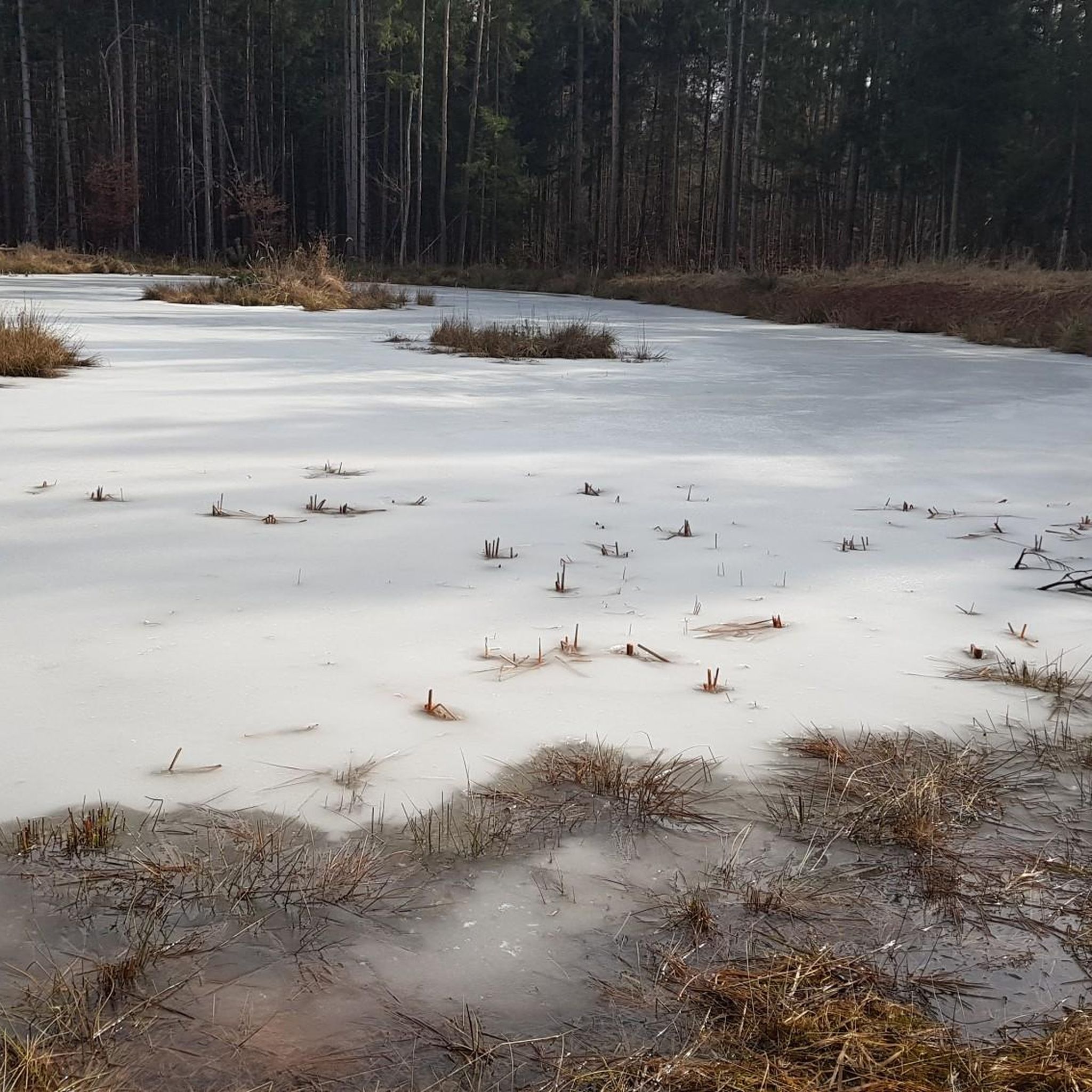
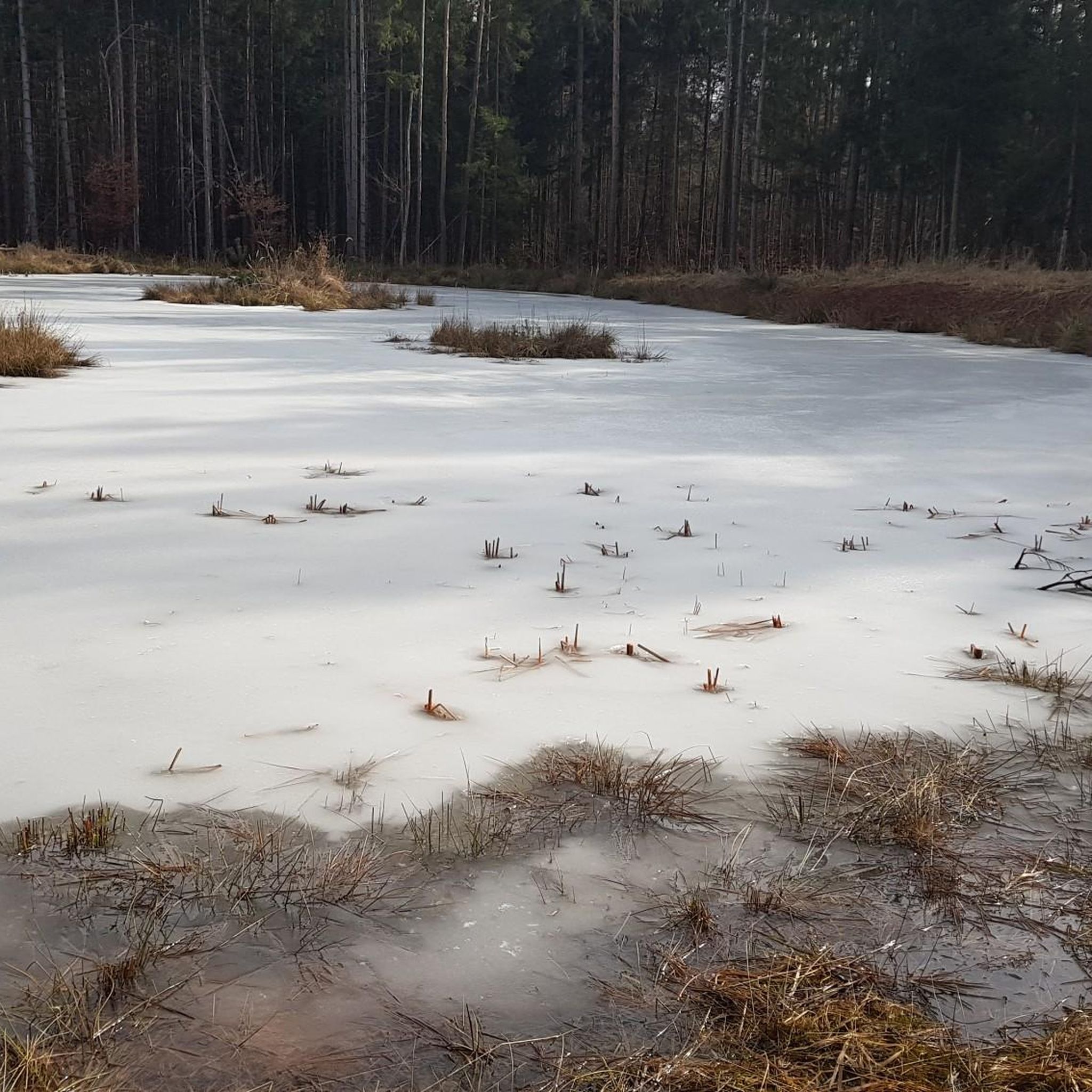
A wonderful little pond, fed by a spring. A little paradise off the beaten track. A place of peace.
0
0

Very nice place, but beware the bridge is not in good condition anymore
2
0

Attention in the middle a board is broken
1
0

The jetty offers beautiful views of the Schondra
2
0

A mill used to stand here: the "Mittelmühle". The footbridge takes its name from this mill: the Mittelmühlsteg. Immediately next to the jetty there is also a crossing through the Schondra, which is used by farmers and foresters: the Mittelmühlfurt.
6
0

Frequently Asked Questions
What kind of terrain can I expect on the running trails in Nasswald, Schondra- Und Feuerbachtal?
The region offers a diverse landscape for runners, characterized by extensive forests, peaceful valleys, and varied hilly terrain. You'll find a mix of paths, from winding forest trails to routes along unique river landscapes with primeval rock formations. The area is part of the Odenwald low mountain range, so expect varied elevations, providing options for both gentle jogs and more challenging hill workouts.
Are there running routes suitable for beginners or those looking for an easy jog?
Yes, Nasswald, Schondra- Und Feuerbachtal features a good selection of routes suitable for all fitness levels. Out of 164 total running routes, 25 are classified as easy, making them perfect for beginners or those seeking a relaxed run through the scenic valleys and forests.
Can I find circular running routes in the Nasswald, Schondra- Und Feuerbachtal area?
Absolutely. Many of the routes in the region are designed as loops, offering convenient starting and ending points. For example, the Pond with Memorial Stones loop from Schwärzelbach is a popular moderate 7.3-mile (11.8 km) circular path that provides beautiful views of tranquil valleys and wooded hills.
What natural attractions or landmarks can I see while running in the region?
The running routes often lead past interesting natural features and landmarks. You might encounter the unique river landscape of the Mittel-Tränk Trail (Sippach Trail), explore the Feuerbach Moor, or discover the serene Vier Reviere Pond. The region is rich in natural beauty, including wetland habitats and spring creeks.
Are there any family-friendly running trails in Nasswald, Schondra- Und Feuerbachtal?
While specific 'family-friendly' designations for running routes aren't always explicit, the area's 25 easy routes are generally suitable for families. These paths typically have less elevation gain and are often well-maintained, allowing for an enjoyable experience for all ages. Look for routes that stick to the valley floors or through less challenging forest sections.
What do other runners say about the trails in Nasswald, Schondra- Und Feuerbachtal?
The running routes in Nasswald, Schondra- Und Feuerbachtal are highly rated by the komoot community, with an average score of 4.4 stars from over 100 reviews. Runners often praise the diverse and beautiful rural scenery, the tranquility of the extensive forests, and the engaging river landscapes that make for a dynamic running experience.
Are dogs allowed on the running routes in this area?
Generally, dogs are welcome on trails in natural areas like Nasswald, Schondra- Und Feuerbachtal, especially if kept on a leash. Given the presence of nature reserves and wildlife, it's always recommended to keep your dog under control. There are no specific restrictions mentioned for dogs on running trails, but always be mindful of local regulations and other trail users.
What is the typical distance and duration for a running route in Nasswald, Schondra- Und Feuerbachtal?
Running routes in the region vary significantly in length and duration. You can find shorter, easier paths, as well as longer, more challenging ones. For example, the Running loop from Schwärzelbach is about 6.3 miles (10.1 km) and takes around 1 hour 6 minutes, while the Pond with Memorial Stones loop from Neuwirtshauser Forst is a more demanding 9.8 miles (15.8 km) route, typically completed in about 1 hour 50 minutes.
How many running routes are available in total in Nasswald, Schondra- Und Feuerbachtal?
There are over 160 dedicated running routes available in Nasswald, Schondra- Und Feuerbachtal. This extensive network provides a wide variety of options for runners of all skill levels, from easy jogs to difficult trail runs.
Is public transport available to access the running trails?
While specific public transport connections directly to every trailhead are not detailed, the region is generally accessible. For detailed information on bus or train services to the broader Nasswald, Schondra- Und Feuerbachtal area, it's best to consult local public transport schedules or regional tourism information for the Bad Kissingen district.
Are there any facilities like Kneipp pools or rest stops along the routes?
Yes, some routes may pass by facilities that can be useful for runners. For instance, the Kneipp Pool Heckmühle is a notable highlight that could be incorporated into a run, offering a refreshing stop. Additionally, you might find other facilities like the Detter Youth Campsite which could serve as a landmark or a point of interest.
What are the best seasons for running in Nasswald, Schondra- Und Feuerbachtal?
The diverse landscapes of Nasswald, Schondra- Und Feuerbachtal make it suitable for running in most seasons. Spring and autumn offer pleasant temperatures and vibrant scenery. Summer provides shaded forest paths, ideal for warmer days. While winter running is possible, conditions may vary, with some trails potentially being icy or muddy, especially in higher elevations or after snowfall.
Are there any routes with significant elevation changes for a challenging workout?
Yes, for runners seeking a more intense workout, the region offers routes with significant elevation changes. For example, the Pond with Memorial Stones loop from Neuwirtshauser Forst features over 300 meters of elevation gain, making it a challenging option for experienced trail runners.
Most popular routes in Nasswald, Schondra- Und Feuerbachtal
Most popular attractions in Nasswald, Schondra- Und Feuerbachtal

Get inspired with the komoot mobile app


Explore more
Browse the best Running Trails & Routes in other regions.
