The best road cycling routes in Graureiherkolonie Am Salzberg
4.7
(403)
3,661
riders
116
rides
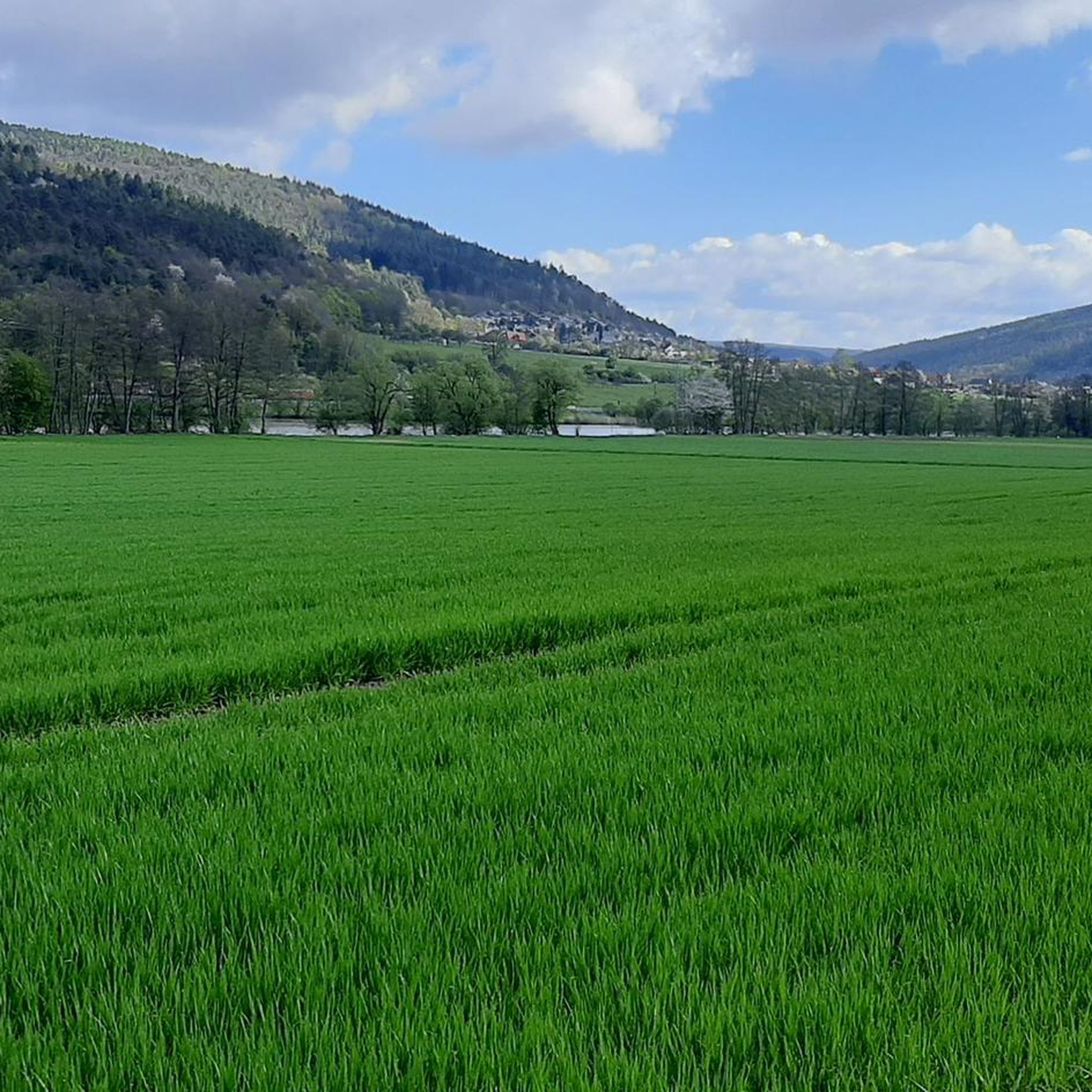
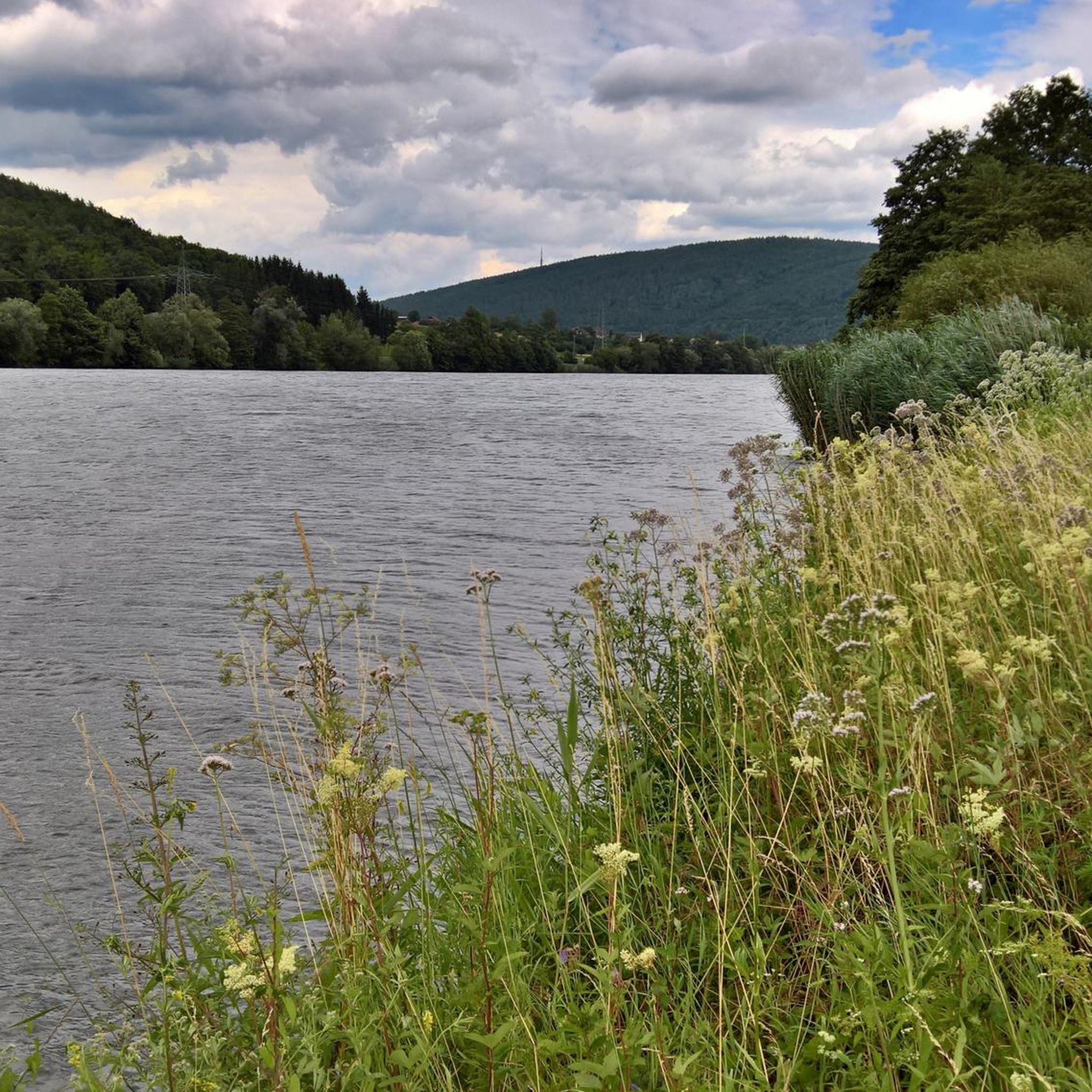
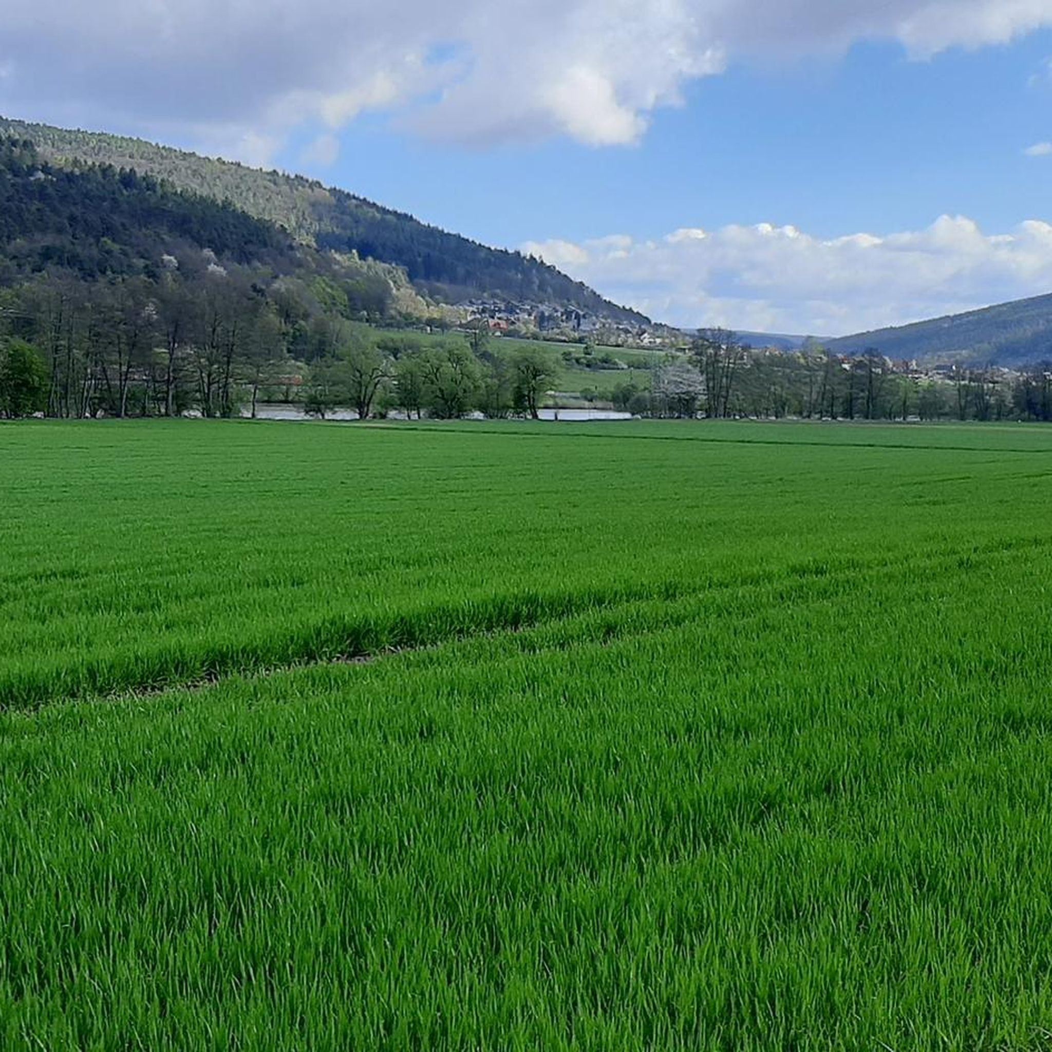
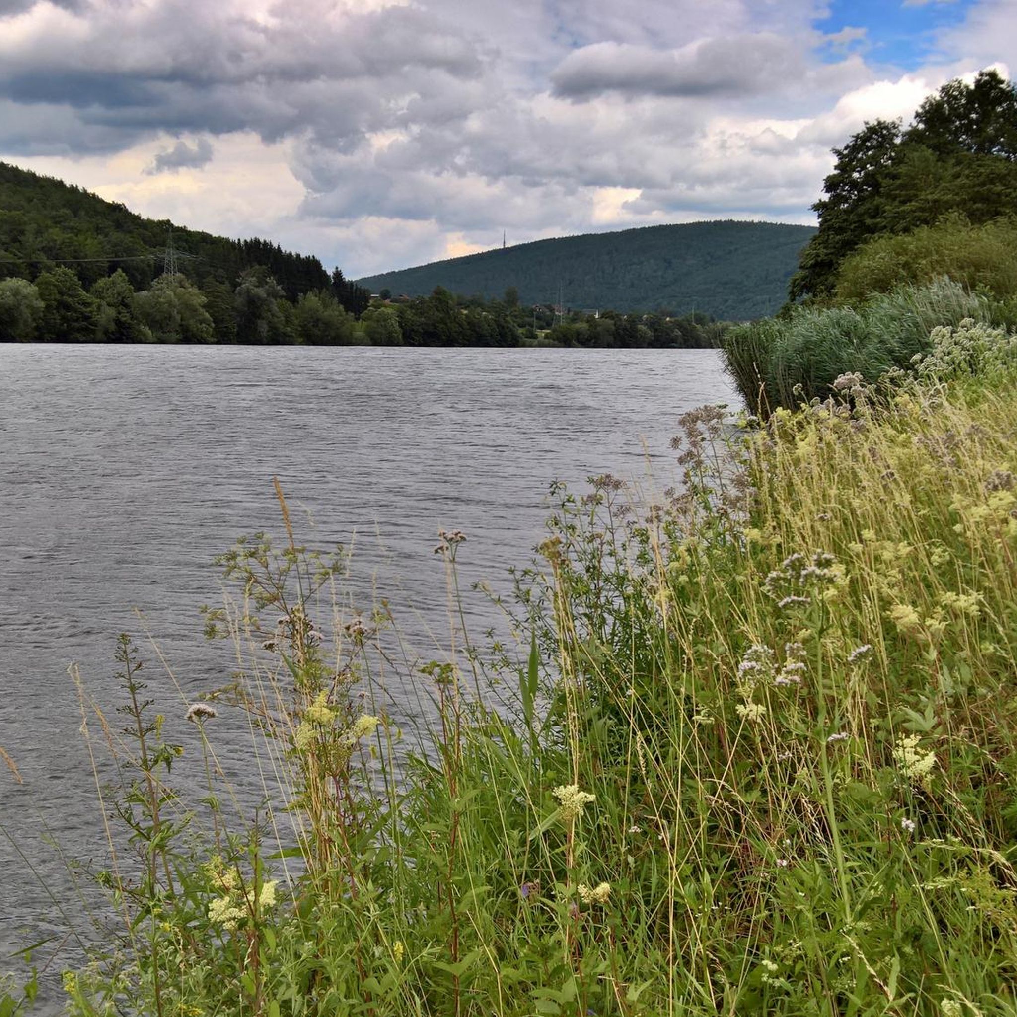
Road cycling in Graureiherkolonie Am Salzberg is characterized by diverse landscapes, including significant forest proportions and the prominent Main River. The region features mostly paved surfaces, making it suitable for road cycling, with routes often running alongside the river. The 370-meter-high Salzberg hill adds varied elevation profiles to the area's cycling opportunities. This area offers a mix of easy rides and more challenging excursions.
Best road cycling routes in Graureiherkolonie Am Salzberg
- The most popular road cycling route is Ascent…
Last updated: September 29, 2026
4.9
(13)
147
riders
52.0km
02:36
510m
510m
Moderate road ride. Good fitness required. Some segments of this route may be unpaved and difficult to ride.
4.3
(3)
22
riders
16.2km
00:41
90m
90m
Easy road ride. Great for any fitness level. Mostly well-paved surfaces and easy to ride.

4.9
(7)
80
riders
20.4km
01:00
70m
70m
Moderate road ride. Great for any fitness level. Some segments of this route may be unpaved and difficult to ride.
4.6
(128)
445
riders
48.6km
02:09
300m
300m
Moderate road ride. Good fitness required. Mostly well-paved surfaces and easy to ride.
4.7
(7)
109
riders
Moderate road ride. Good fitness required. Mostly well-paved surfaces and easy to ride.
Get access to more routes and recommendations from other explorers.
Already have an account?
Our route recommendations are based on thousands of hikes, rides, and runs completed by other people on komoot.
Start today with a free account
Your next adventure awaits.
Popular around Graureiherkolonie Am Salzberg

Tips from the Community

A list of places located on the 50th parallel: https://www.orte-auf.de/breitengrad-50
1
0
A list of places located on the 50th parallel: https://www.orte-auf.de/breitengrad-50
1
0

Tip - as already described.
0
0

Great view of the Main bridge from Marktheidenfeld
0
0

Runs great in a lovely environment
0
0

TOP for road bike
2
0

There is something special about enjoying a snack with a glass of wine in the picturesque old town below the Scherenburg castle.
0
0

View of the Scherenburg and Gemünden am Main
0
0
Frequently Asked Questions
What kind of terrain can I expect on road cycling routes in Graureiherkolonie Am Salzberg?
The region offers diverse landscapes, primarily featuring mostly paved surfaces ideal for road cycling. Many routes run alongside the Main River, providing picturesque views. You'll also encounter forested sections and varied elevation profiles, especially around the 370-meter-high Salzberg hill.
Are there road cycling routes suitable for beginners or families in Graureiherkolonie Am Salzberg?
Yes, the area provides options for all fitness levels. You can find easy loops of less than two hours with minimal elevation gain. For example, the Neustadt am Main Abbey – View of Neustadt am Main Abbey loop from Lohr Bahnhof is an easy route covering about 23 km with modest elevation.
What are some notable landmarks or attractions I can see along the road cycling routes?
Many routes connect to historical towns like Gemünden am Main and Lohr am Main, where you can explore cultural landmarks such as the 14th-century Bayersturm. You might also pass interesting infrastructure like the Steinbach Lock and Weir on the Main. Natural features include the Mouth of the Ziegelbach into the Main and the Ziegelbach Valley.
Are there any routes that offer significant elevation challenges for experienced cyclists?
Absolutely. While there are easy routes, the region also offers more challenging excursions with elevation gains reaching up to 1500 feet or more. A notable route with significant climbing is the Ascent to Bayrische Schanz – Bayerische Schanz Inn loop from Neuendorf, which includes over 500 meters of elevation gain.
What is the best time of year for road cycling in Graureiherkolonie Am Salzberg?
The region is generally pleasant for cycling from spring through autumn. The summer months offer lush countryside and opportunities to enjoy picnic spots. Always check local weather conditions, as some routes might involve unpaved segments that could be affected by rain.
Are there circular road cycling routes available?
Yes, many routes in Graureiherkolonie Am Salzberg are designed as loops, allowing you to start and end at the same point. Examples include the Main River at Nantenbach – Main Ferry Gemünden loop from Sackenbach and the View of Neustadt am Main Abbey – Neustadt am Main Abbey loop from Lohr Bahnhof.
What kind of wildlife might I encounter while cycling in the area?
The region is known for its natural beauty, particularly the Graureiherkolonie (Grey Heron Colony) itself, which suggests opportunities for birdwatching. The significant forest proportions and riverside areas provide habitats for various local wildlife, offering a serene and ecologically rich environment.
Where can I find parking for road cycling routes in Graureiherkolonie Am Salzberg?
While specific parking areas for each route are not detailed here, towns like Gemünden am Main and Lohr am Main, which serve as starting points for many routes, typically offer public parking facilities. It's advisable to check local municipal websites for parking options near your chosen starting point.
Can I reach the road cycling routes using public transport?
The region is accessible, with towns like Lohr am Main having train stations (e.g., Lohr Bahnhof) that can serve as convenient starting points for cycling tours. Many routes connect to these towns, making public transport a viable option for reaching the trails.
What do other road cyclists enjoy most about cycling in Graureiherkolonie Am Salzberg?
The area is highly rated by the komoot community, with an average score of 4.8 stars from over 300 reviews. Cyclists often praise the varied terrain, the scenic riverside paths along the Main, and the routes connecting to charming historical towns, offering a blend of active recreation and cultural exploration.
Are there any long-distance or multi-day cycling options in the region?
Yes, the region is part of larger, well-developed cycling networks such as the MainRadweg and the Main-Tauber-Franconian Cycle Eight. These routes allow cyclists to explore diverse landscapes, cultural highlights, and culinary delights over multiple days, often following the Main and Tauber rivers.
Are there places to stop for refreshments or picnics along the routes?
Yes, the region offers amenities for cyclists. Numerous designated picnic shelters, such as the one near the Maintal Bridge, Nantenbach, provide perfect resting spots. Additionally, the historical towns along the routes, like Gemünden and Lohr am Main, offer cafes and pubs for refreshments.
Most popular routes in Graureiherkolonie Am Salzberg
Most popular attractions in Graureiherkolonie Am Salzberg

Get inspired with the komoot mobile app


Explore more
Browse the best Road cycling routes in other regions.
