Ehemaliger Standortübungsplatz Aschaffenburg Und Altenbachgrund
Ehemaliger Standortübungsplatz Aschaffenburg Und Altenbachgrund
The best road cycling routes in Ehemaliger Standortübungsplatz Aschaffenburg Und Altenbachgrund
4.5
(1106)
14,187
riders
271
rides
Road cycling routes in Ehemaliger Standortübungsplatz Aschaffenburg Und Altenbachgrund traverse a 293.5-hectare nature reserve characterized by diverse habitats. The northern section presents dry, open terrain, while the southern part features forested areas and stream valleys. This varied landscape, bordering the Spessart hills, offers a mix of elevations and conditions suitable for road cyclists. The region includes dedicated cycle paths and farm tracks, providing options for exploring its natural features.
Best road cycling routes in Ehemaliger Standortübungsplatz Aschaffenburg Und Altenbachgrund
- The…
Last updated: August 25, 2026
4.5
(2)
64
riders
Moderate road ride. Good fitness required. Some segments of this route may be unpaved and difficult to ride.
5.0
(2)
68
riders
28.6km
01:11
60m
60m
Moderate road ride. Great for any fitness level. Some segments of this route may be unpaved and difficult to ride.

Sign up for free
5.0
(1)
36
riders
Moderate road ride. Good fitness required. Mostly well-paved surfaces and easy to ride.
3.9
(7)
47
riders
24.6km
01:04
210m
210m
Easy road ride. Great for any fitness level. Mostly well-paved surfaces and easy to ride.
3.0
(1)
29
riders
24.7km
01:02
140m
140m
Easy road ride. Great for any fitness level. Mostly well-paved surfaces and easy to ride.
Get access to more routes and recommendations from other explorers.
Sign up for free
Already have an account?
Our route recommendations are based on thousands of hikes, rides, and runs completed by other people on komoot.
Start today with a free account
Your next adventure awaits.
Login or Signup
Popular around Ehemaliger Standortübungsplatz Aschaffenburg Und Altenbachgrund
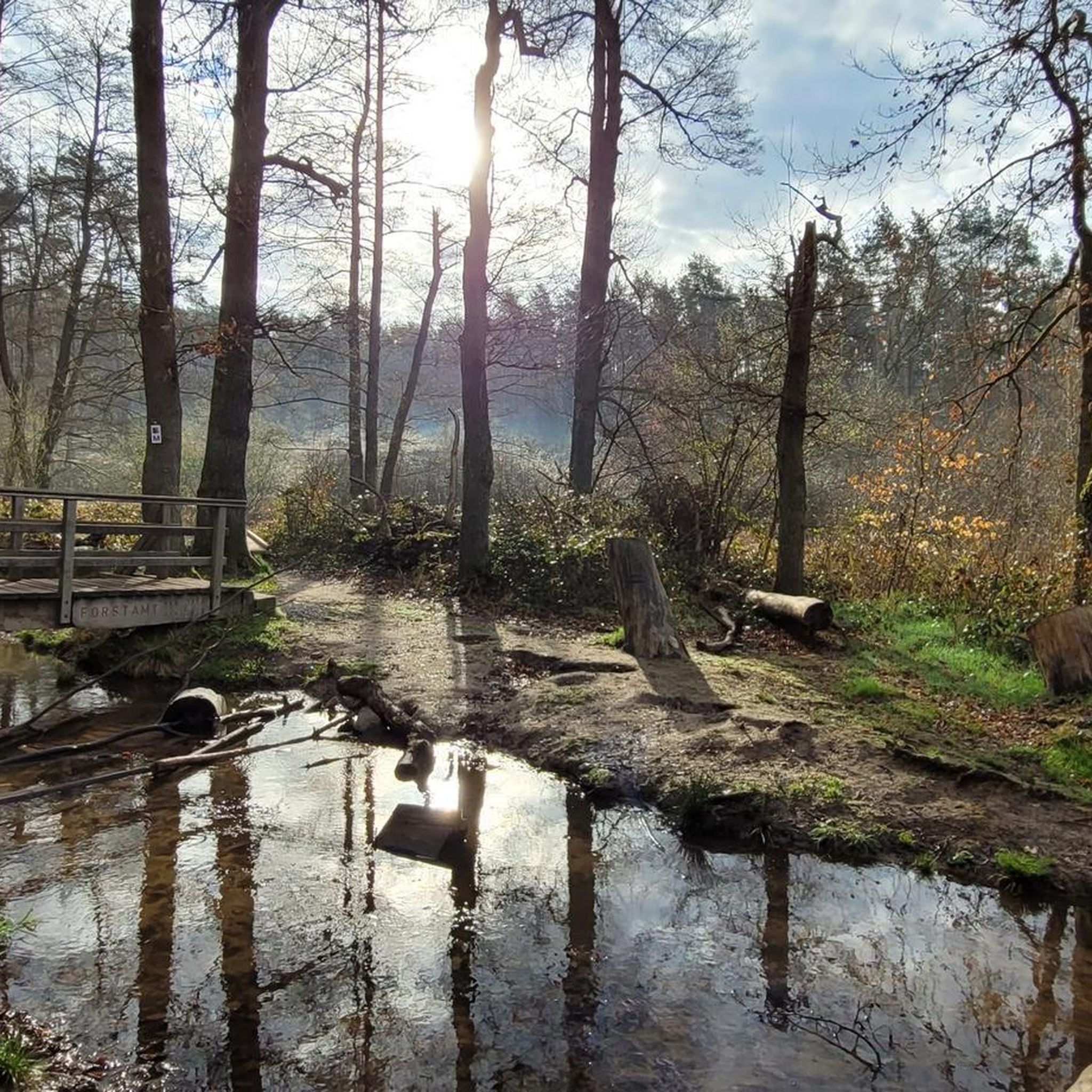
Cycling in Ehemaliger Standortübungsplatz Aschaffenburg Und Altenbachgrund
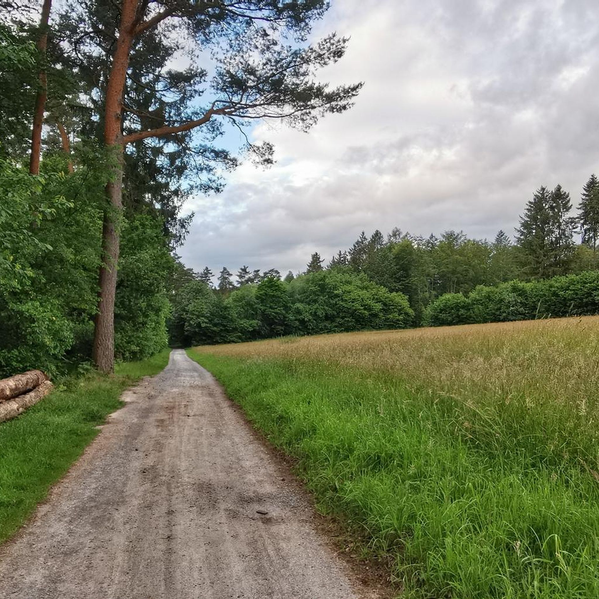
MTB Trails in Ehemaliger Standortübungsplatz Aschaffenburg Und Altenbachgrund
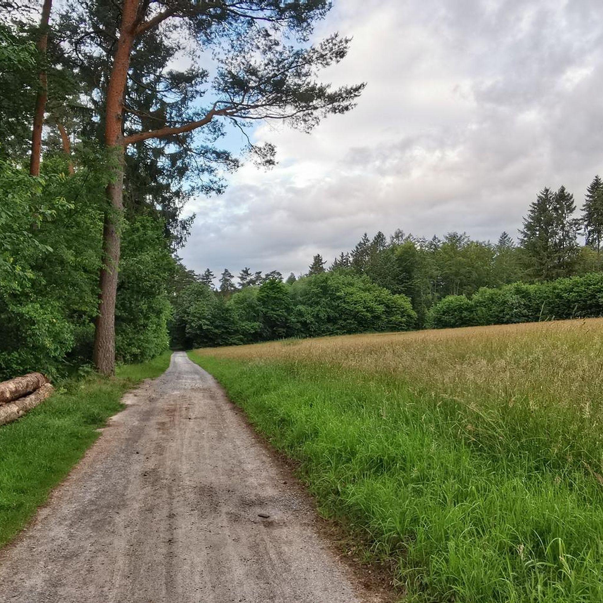
Hiking in Ehemaliger Standortübungsplatz Aschaffenburg Und Altenbachgrund

Gravel biking in Ehemaliger Standortübungsplatz Aschaffenburg Und Altenbachgrund
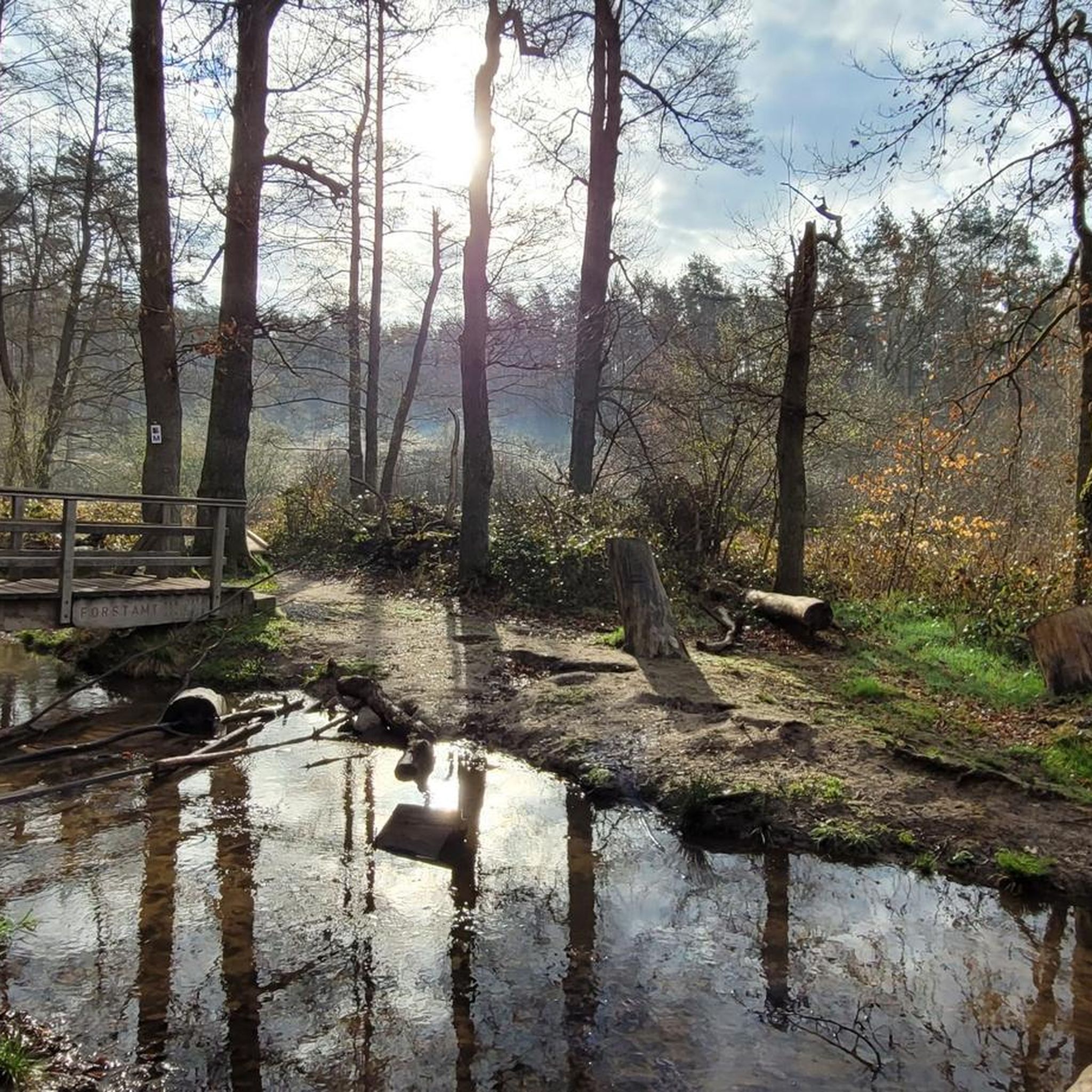
Running Trails in Ehemaliger Standortübungsplatz Aschaffenburg Und Altenbachgrund
Tips from the Community

A nice old town and a lot from the Romans
0
0

The current Church of St. Margaretha and Anna was built in 1786–1788 to replace an Anna chapel that had existed since the 15th century. It was designed by the Mainz court architect Emanuel Joseph von Herigoyen. A beautiful special feature: stones from the old church of Ruchelnheim were reused for parts of the church. The organ originally comes from the Schmerlenbach monastery and came to Sulzbach in 1882. After the construction of the larger St. Margareta Church in 1953, the old church was initially decommissioned. After its restoration, services and cultural events have been held here again since 1999. A surprisingly historic building in the middle of Sulzbach. 🏛️
0
0

The pilgrimage church of St. Mariä Himmelfahrt in Hessenthal is a very remarkable architectural ensemble. The two Gothic structures, the Chapel of Grace and the old pilgrimage church, are beautiful at first glance. The new pilgrimage church from 1954 is rather sober, but contains extraordinary works of art: the Lamentation of Christ by Tilman Riemenschneider and the Crucifixion group by Hans Backoffen.
4
0

Charming old town with its medieval tower still standing - a nice historic detour if you have a few extra minutes.
0
0
Flat, traffic-free path following the old railway line - a smooth and relaxing connection between the two towns.
0
0

The Catholic parish church Maria Geburt is a neo-Gothic hall church whose foundation stone was laid in 1894 and the church was consecrated in 1895. The 57 m high tower is visible from afar.
0
0

Beautiful bridge that blends in very well with the landscape.
3
0
The 44-meter-high water tower, built in 1958, is still in operation today.
2
0
Frequently Asked Questions
How many road cycling routes are available in Ehemaliger Standortübungsplatz Aschaffenburg Und Altenbachgrund?
There are over 270 road cycling routes in Ehemaliger Standortübungsplatz Aschaffenburg Und Altenbachgrund, offering a wide range of options for different skill levels and preferences.
What kind of terrain can I expect on road cycling routes in Ehemaliger Standortübungsplatz Aschaffenburg Und Altenbachgrund?
The region offers diverse terrain. The northern section features dry, open areas, while the southern part is characterized by forested areas and stream valleys. You'll find a mix of dedicated cycle paths, footpaths, and forest or farm tracks, with varied elevations as the area borders the Spessart hills.
Are there road cycling routes suitable for beginners in this area?
Yes, there are approximately 57 easy road cycling routes available. An example of a route with moderate elevation gain suitable for many riders is the Roland-Schwing Bridge – Almosenturm, Obernburg loop from Sulzbach am Main, which is about 30.7 km long.
What are some notable landmarks or natural features I can see while road cycling?
While cycling, you can encounter unique natural features and landmarks. Keep an eye out for the Przewalski Horses Enclosure, the Elbertsbrünnchen Spring, and the Altenbach Wooden Bridges. Some routes also offer views of historical sites like Klingenburg Castle, as seen on the Old Town of Obernburg am Main – View of Klingenburg Castle loop from Sulzbach am Main.
Can I observe wildlife, such as the Przewalski horses, from road cycling routes?
Yes, the reserve is home to herds of Przewalski horses and Heck cattle. You can often observe the Przewalski horses in their natural enclosure, particularly from the Przewalski Horse Observation Point and Rest Area. The area is also rich in biodiversity, with various amphibian, insect, and bird species.
Are there any circular road cycling routes in Ehemaliger Standortübungsplatz Aschaffenburg Und Altenbachgrund?
Yes, many routes are designed as loops, allowing you to start and end at the same point. The broader Aschaffenburg area features the 48-kilometer 'Grünes Rad' (Green Wheel) trail, which is mostly circular and utilizes dedicated cycle paths suitable for road bikes. Within the reserve, routes like the Roßbacher Rocks ⛰ – Off to Hausen! 😆 loop from Sulzbach am Main offer a circular experience.
What is the best time of year for road cycling in Ehemaliger Standortübungsplatz Aschaffenburg Und Altenbachgrund?
The region is generally favorable for road cycling from spring through autumn. The diverse habitats mean conditions can vary; the drier northern parts are pleasant in warmer months, while forested southern sections offer shade. Always check local weather conditions before heading out.
Is it possible to access the road cycling routes using public transport?
The Aschaffenburg area, which borders the reserve, is well-connected by public transport, making it a good starting point for various cycling experiences. Specific access points within the reserve itself may require a short ride from public transport hubs.
Where can I find parking for road cycling in Ehemaliger Standortübungsplatz Aschaffenburg Und Altenbachgrund?
While specific parking areas for cyclists within the immediate reserve are not detailed, the surrounding Aschaffenburg region offers various parking options. Many routes start from towns like Sulzbach am Main or Gailbach, where public parking is typically available.
Are there any family-friendly road cycling options in the region?
Yes, the area offers several easy routes that are suitable for families. The 'Grünes Rad' trail around Aschaffenburg, for instance, largely uses dedicated cycle paths and avoids heavy traffic, making it a good option for family outings. Always check the route's difficulty and distance to ensure it matches your family's capabilities.
Can I bring my dog on road cycling trails in Ehemaliger Standortübungsplatz Aschaffenburg Und Altenbachgrund?
If you bring your dog, it is crucial to keep them on a leash and stay on marked paths. Due to the area's past military use, there is a potential risk of unexploded ordnance off-trail, making adherence to these rules very important for safety.
Are there places to stop for refreshments or a meal along the road cycling routes?
While the nature reserve itself is primarily natural, the surrounding areas and towns like Aschaffenburg offer various amenities. The Fidelio-Waldhaus Wanderheim is a point of interest for visitors, and you might find places like Elli's Garden Tavern nearby. Many routes start or pass through towns where cafes and restaurants are available.
What do other road cyclists enjoy the most about road cycling in Ehemaliger Standortübungsplatz Aschaffenburg Und Altenbachgrund?
The area is highly rated by the komoot community, with an average score of 4.5 stars from over 870 reviews. Cyclists often praise the diverse landscapes, from open dry areas to forested sections and stream valleys, and the variety of routes catering to different ability levels.
Most popular routes in Ehemaliger Standortübungsplatz Aschaffenburg Und Altenbachgrund
Most popular attractions in Ehemaliger Standortübungsplatz Aschaffenburg Und Altenbachgrund

Get inspired with the komoot mobile app


Explore more
Browse the best Road cycling routes in other regions.
