The best road cycling routes in Rhönwald-Grabenberg
4.7
(130)
1,563
riders
109
rides
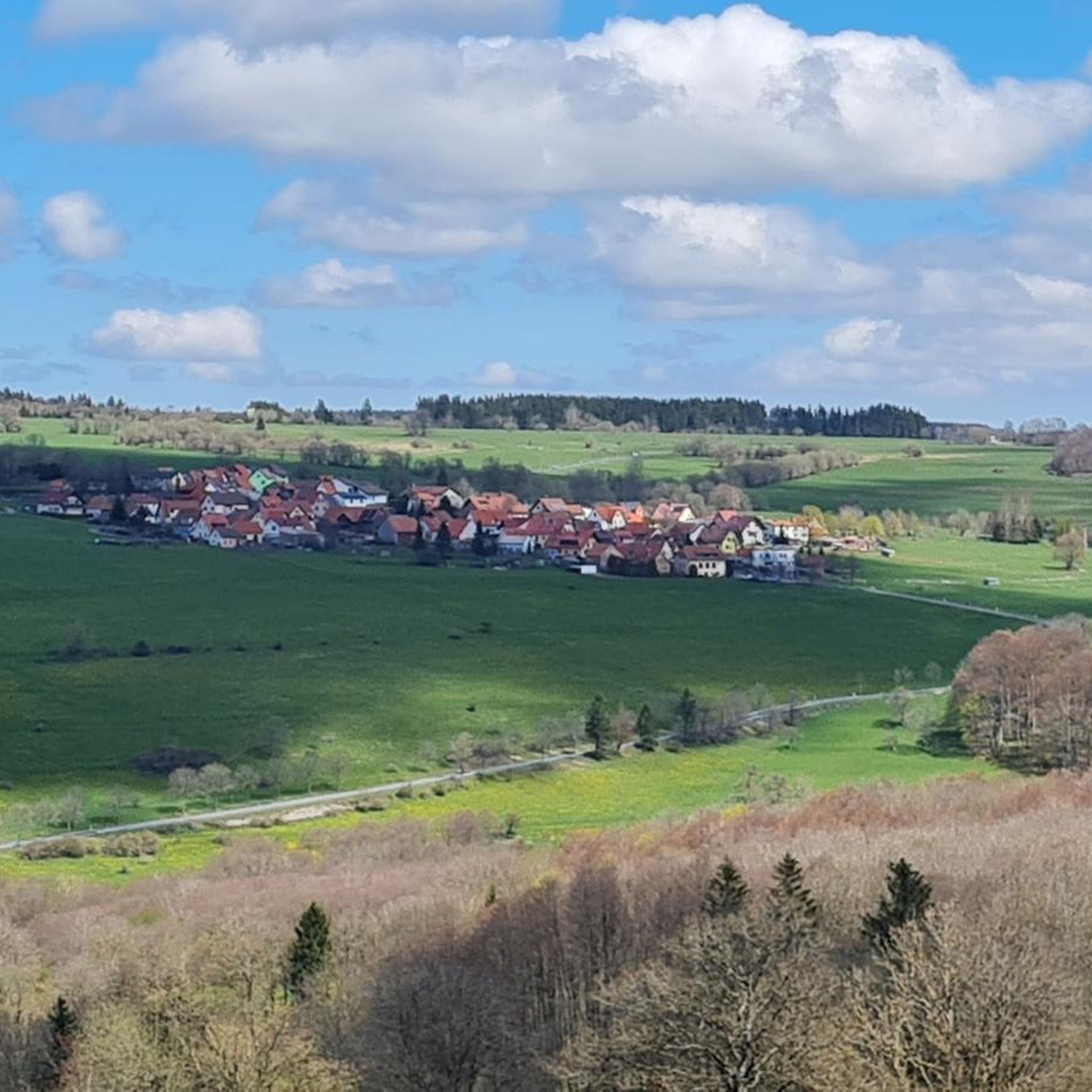
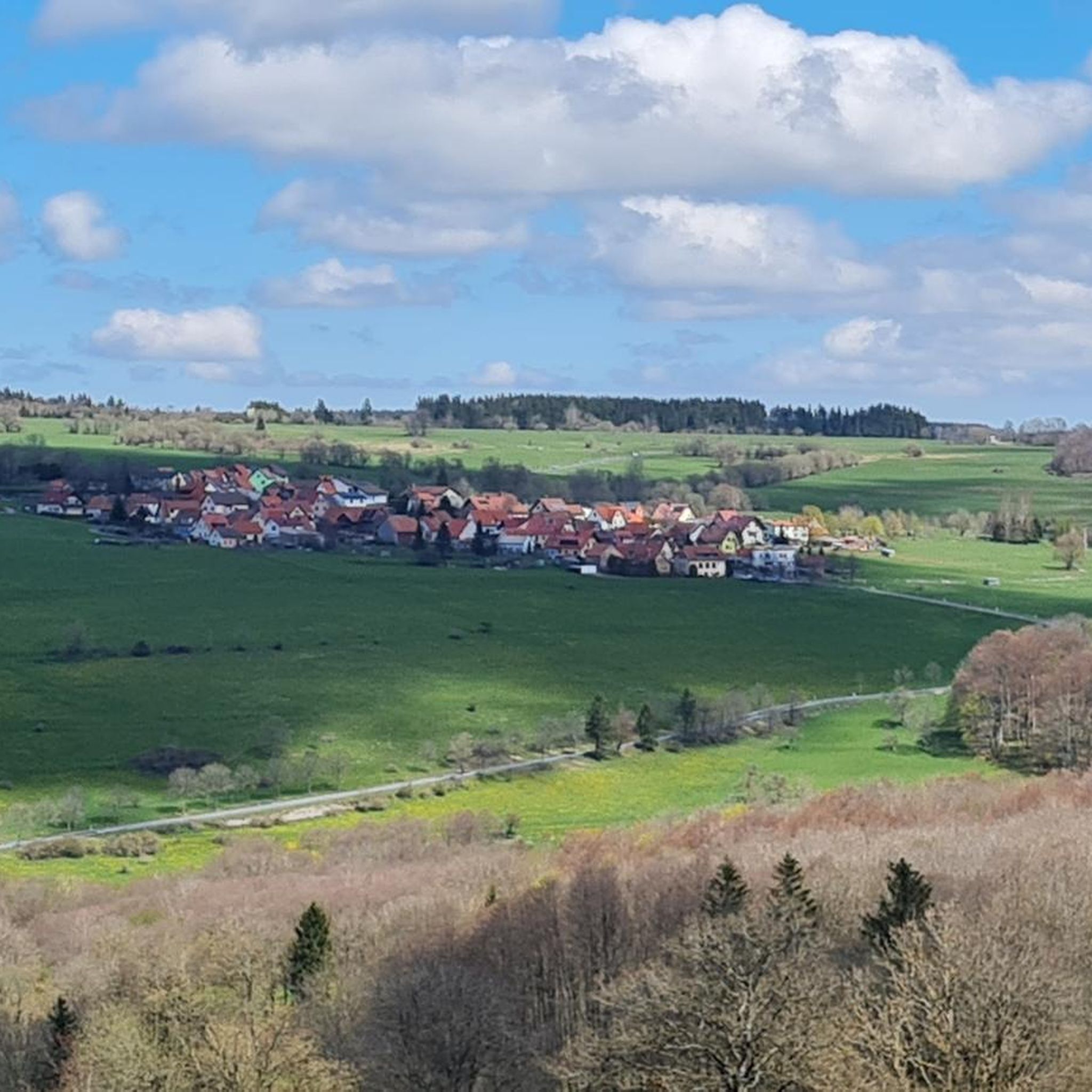
Road cycling in Rhönwald-Grabenberg offers routes through a landscape characterized by forested hills and open plateaus. The region features varied terrain, including ascents to notable summits and descents into scenic valleys. Road cyclists can expect a mix of challenging climbs and more moderate paths, often passing through historic areas. This area provides diverse road cycling opportunities across its natural park setting.
Best road cycling routes in Rhönwald-Grabenberg
- The most popular road cycling route is Fulda Spring – Wasserkuppe Summit loop…
Last updated: July 6, 2026
6
riders
59.9km
03:18
1,250m
1,250m
Hard road ride. Very good fitness required. Some segments of this route may be unpaved and difficult to ride.
4
riders
18.4km
01:04
430m
430m
Moderate road ride. Good fitness required. Mostly well-paved surfaces and easy to ride.

Sign up for free
4.0
(1)
5
riders
Moderate road ride. Good fitness required. Mostly well-paved surfaces and easy to ride.
3
riders
33.8km
01:52
710m
710m
Moderate road ride. Good fitness required. Mostly well-paved surfaces and easy to ride.
2
riders
61.6km
03:13
1,130m
1,130m
Hard road ride. Very good fitness required. Mostly well-paved surfaces and easy to ride.
Get access to more routes and recommendations from other explorers.
Sign up for free
Already have an account?
Our route recommendations are based on thousands of hikes, rides, and runs completed by other people on komoot.
Start today with a free account
Your next adventure awaits.
Login or Signup


Other adventures in Rhönwald-Grabenberg


Tips from the Community

Very steep climb, consistently between 15 and 18%. Currently also part of the Rhön Radmarathon route
0
0

Well-maintained parking lot with seating for food and drinks
0
0

Helmut Hohmann has lovingly landscaped his property and created a wonderful and interesting little border museum. A guided tour with him lasts about 1-1.5 hours and is informative and entertaining. Highly recommended. 😀
1
0

Well-paved and shady cycling route!
0
0
Oll Oll Oll Oll Oll oll oll ä Pop Pop LOL Oll LOL LOL LOL LOL LOL Oll Oll p ö Oll Oll Mol Oll LL LL LL LOL komm l p
0
2


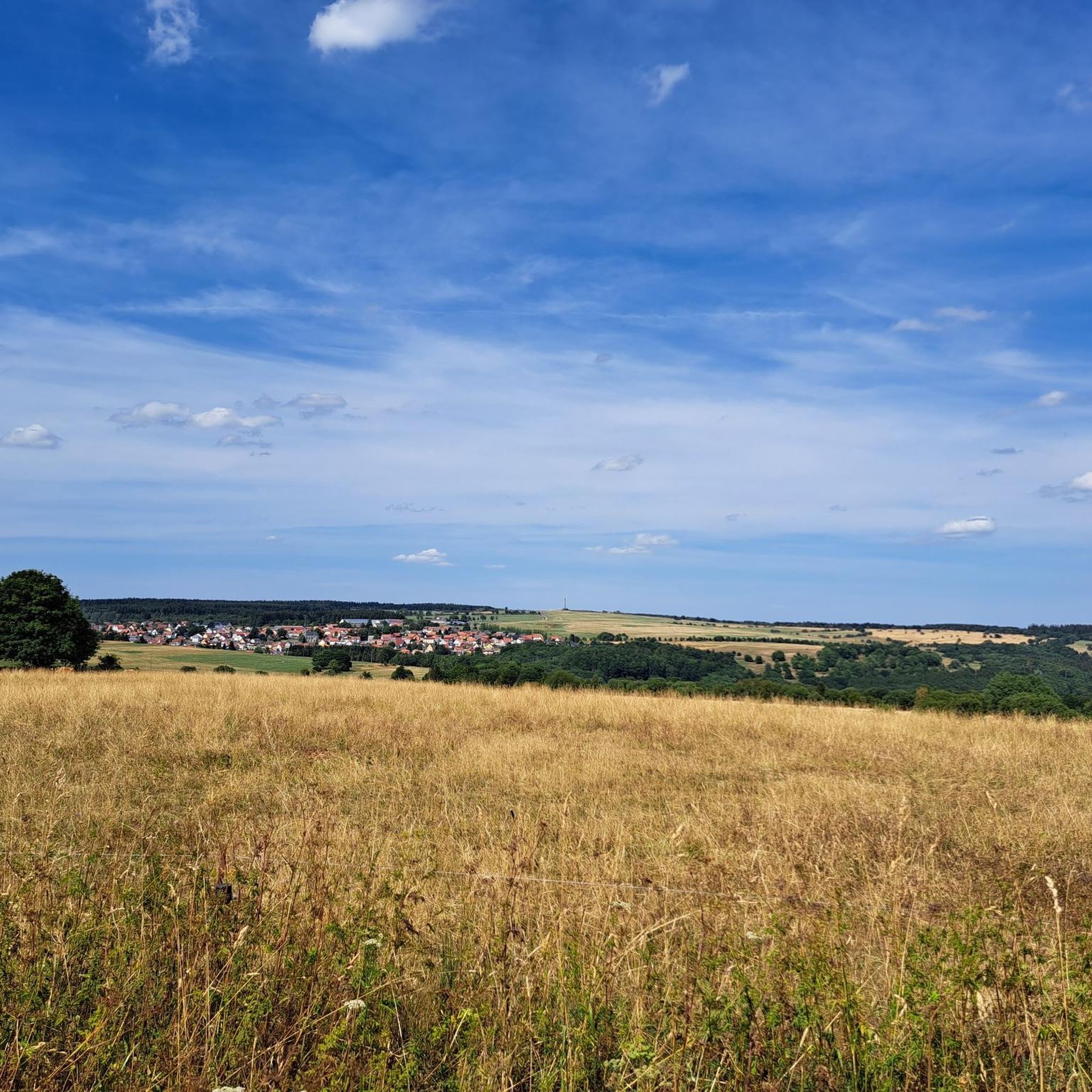
With almost 300 inhabitants located in the Ulster Valley
8
0

Beautiful monument along the way
0
0
Frequently Asked Questions
How many road cycling routes are available in Rhönwald-Grabenberg?
Rhönwald-Grabenberg offers a wide selection of road cycling routes, with over 110 different tours to explore. These routes cater to various skill levels, from moderate to difficult.
Are there easy road cycling routes suitable for beginners in Rhönwald-Grabenberg?
While Rhönwald-Grabenberg is known for its varied terrain, including challenging climbs, there are a few easier road cycling routes available. You can find approximately 7 routes categorized as easy, offering a gentler introduction to the region's landscapes.
What kind of challenging road cycling routes can I find in Rhönwald-Grabenberg?
For experienced road cyclists seeking a challenge, Rhönwald-Grabenberg provides numerous difficult routes. There are over 40 challenging tours, often featuring significant elevation gains, such as the Fulda Spring – Wasserkuppe Summit loop from Frankenheim/Rhön, which includes over 1200 meters of ascent.
What are the typical distances and elevation gains for road cycling routes in Rhönwald-Grabenberg?
Routes vary significantly in length and elevation. Moderate routes like the View of Hilders – Hochdorf Birx loop from Frankenheim/Rhön cover about 18.7 km with around 420 meters of elevation gain. More difficult routes, such as the View of the Rennsteig – M. Uehling Stiege loop from Frankenheim/Rhön, can extend to over 60 km with more than 1100 meters of climbing.
Are there many loop routes for road cycling in Rhönwald-Grabenberg?
Yes, many of the road cycling routes in Rhönwald-Grabenberg are designed as loops, allowing you to start and finish at the same point. Examples include the Historic centre of Fladungen – View of the Rennsteig loop from Frankenheim/Rhön and the Neustädges Ramp – Historic centre of Fladungen loop from Frankenheim/Rhön.
What can I see along the road cycling routes in Rhönwald-Grabenberg?
Road cycling routes in Rhönwald-Grabenberg often pass by significant natural and historical landmarks. You can explore sites like the Grabenberg Border Tower, the Three-State Point Hesse–Bavaria–Thuringia, or the Former Inner German Border – Kolonnenweg Memorial. The region also features natural highlights such as the Boardwalk Rhönhut Moor and scenic viewpoints like the View along the Birxgraben valley to the Ulster valley.
What do other road cyclists enjoy the most about road cycling in Rhönwald-Grabenberg?
The road cycling experience in Rhönwald-Grabenberg is highly rated by the komoot community, with an average score of 4.7 stars from over 130 reviews. Cyclists often praise the diverse terrain, which includes forested hills and open plateaus, as well as the scenic views and the mix of challenging climbs and moderate paths.
What is the best time of year for road cycling in Rhönwald-Grabenberg?
The Rhönwald-Grabenberg region, being characterized by hills and plateaus, is generally best for road cycling from late spring through early autumn (May to October). During these months, the weather is typically milder, and the roads are clear of snow and ice, offering optimal conditions for exploring the diverse landscape.
Are there any specific weather conditions to be aware of when road cycling in Rhönwald-Grabenberg?
Due to its elevated and open nature, Rhönwald-Grabenberg can experience changeable weather. Cyclists should be prepared for potential wind, especially on open plateaus, and cooler temperatures at higher elevations, even in summer. Checking the local forecast before heading out is always advisable.
Are there cafes or pubs near the road cycling trails in Rhönwald-Grabenberg?
While specific cafes and pubs are not detailed in the route descriptions, the region includes historic towns and villages. It is common to find local eateries and rest stops in these areas, particularly in places like Fladungen, which is mentioned in some routes. Planning your route with potential stops in mind is recommended.
Where can I find parking for road cycling routes in Rhönwald-Grabenberg?
Many road cycling routes in Rhönwald-Grabenberg, such as those starting from Frankenheim/Rhön, typically have designated parking areas in or near the starting points of the tours. It's advisable to check local signage or specific route details for parking information at your chosen starting location.
Most popular routes in Rhönwald-Grabenberg
Most popular attractions in Rhönwald-Grabenberg

Get inspired with the komoot mobile app


Explore more
Browse the best Road cycling routes in other regions.
