The best walks and hikes in Trockenverbundgebiet Rhön - Grabfeld
4.5
(10012)
35,617
hikers
1,344
hikes
Hiking trails in Trockenverbundgebiet Rhön - Grabfeld traverse a landscape characterized by dry grasslands, juniper heaths, and warm-loving forests. This region features varied topography, ranging from gently rolling hills to more pronounced escarpments. It forms an important ecological corridor within the larger Rhön Biosphere Reserve, known for its unique dry habitats.
Best hiking trails in Trockenverbundgebiet Rhön - Grabfeld
- The most popular hiking route is View of Mittelstreu loop from Oberstreu, an easy 3.9 miles (6.3 km) trail that…
Last updated: August 24, 2026
4.8
(11)
35
hikers
10.00km
02:48
200m
200m
Moderate hike. Good fitness required. Easily-accessible paths. Suitable for all skill levels.
4.6
(7)
66
hikers
6.13km
01:43
120m
120m
Easy hike. Great for any fitness level. Easily-accessible paths. Suitable for all skill levels.

Sign up for free
4.0
(3)
19
hikers
6.70km
01:49
90m
90m
Easy hike. Great for any fitness level. Easily-accessible paths. Suitable for all skill levels.
4.8
(9)
36
hikers
16.7km
04:35
270m
270m
Moderate hike. Good fitness required. Easily-accessible paths. Suitable for all skill levels.
5.0
(1)
7
hikers
11.7km
03:08
130m
130m
Moderate hike. Good fitness required. Easily-accessible paths. Suitable for all skill levels.
Get access to more routes and recommendations from other explorers.
Sign up for free
Already have an account?
Our route recommendations are based on thousands of hikes, rides, and runs completed by other people on komoot.
Start today with a free account
Your next adventure awaits.
Login or Signup
Popular around Trockenverbundgebiet Rhön - Grabfeld
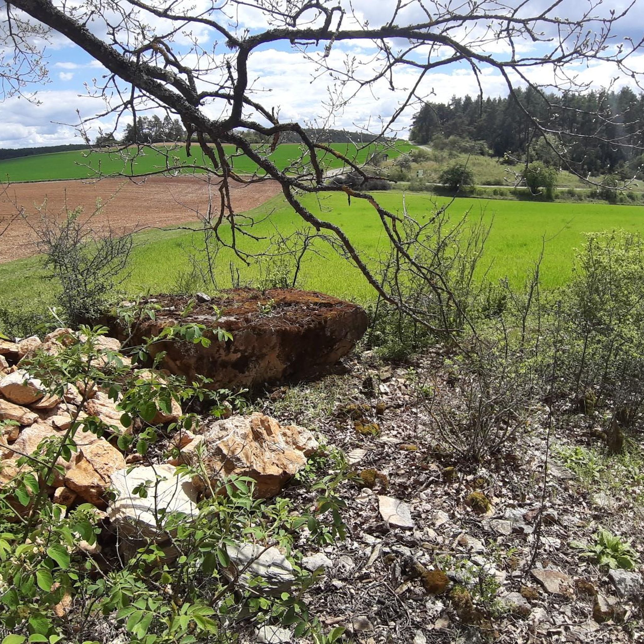
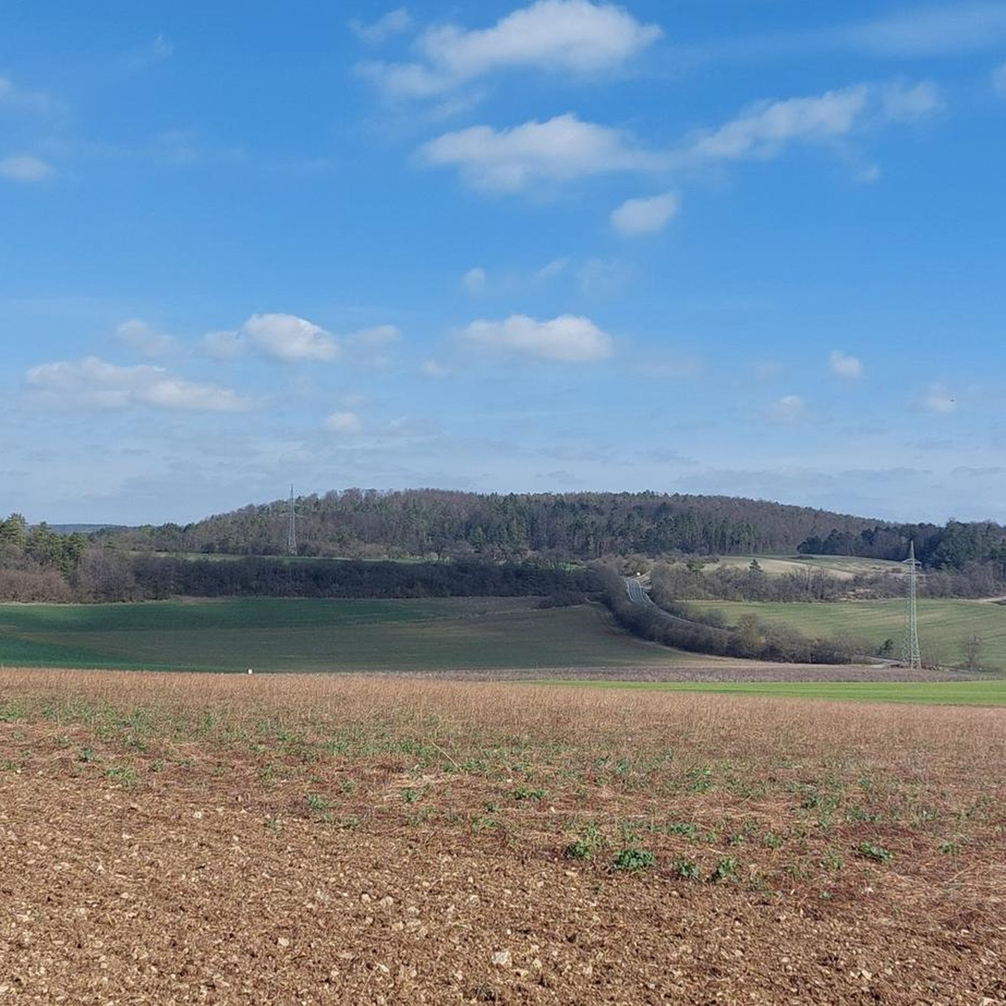
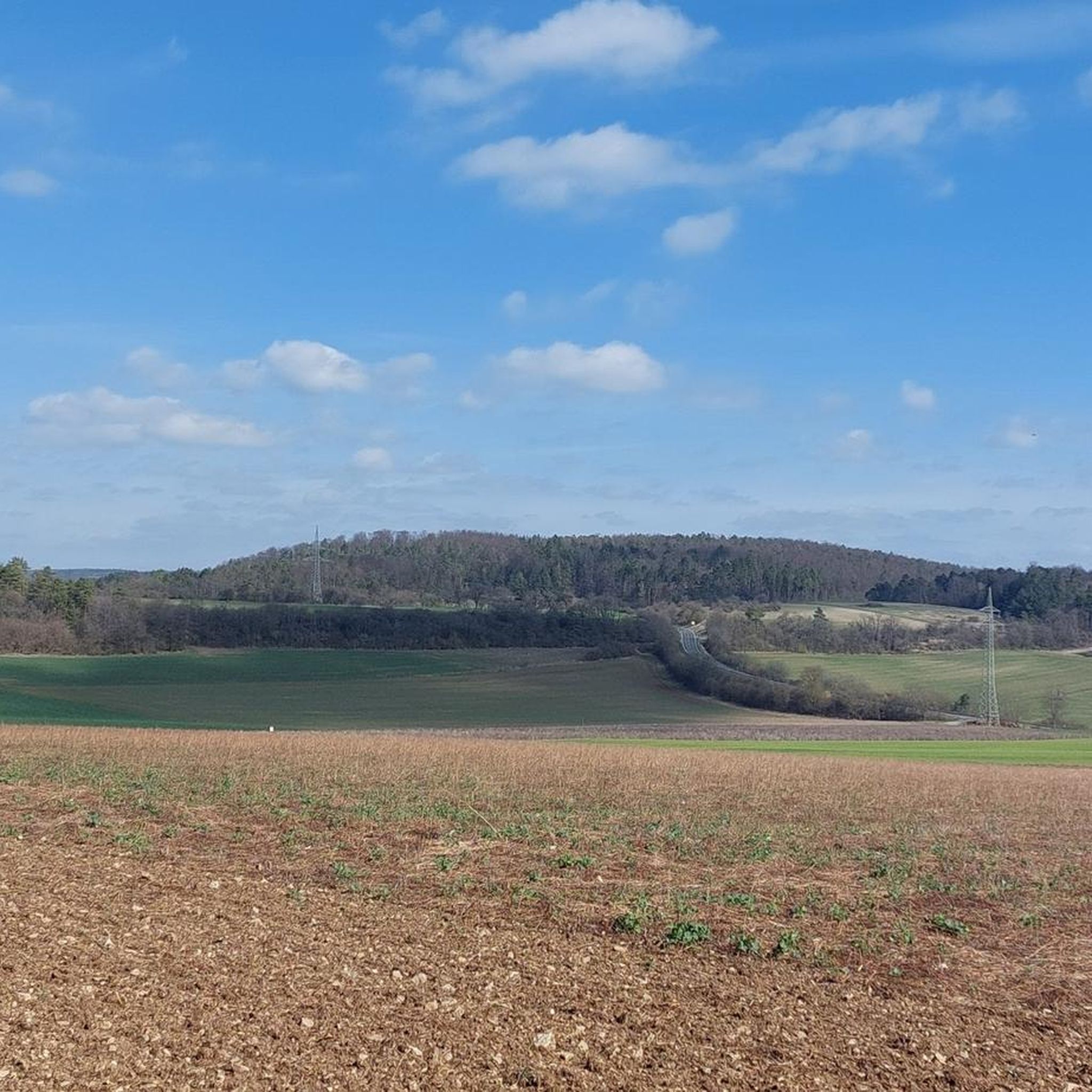
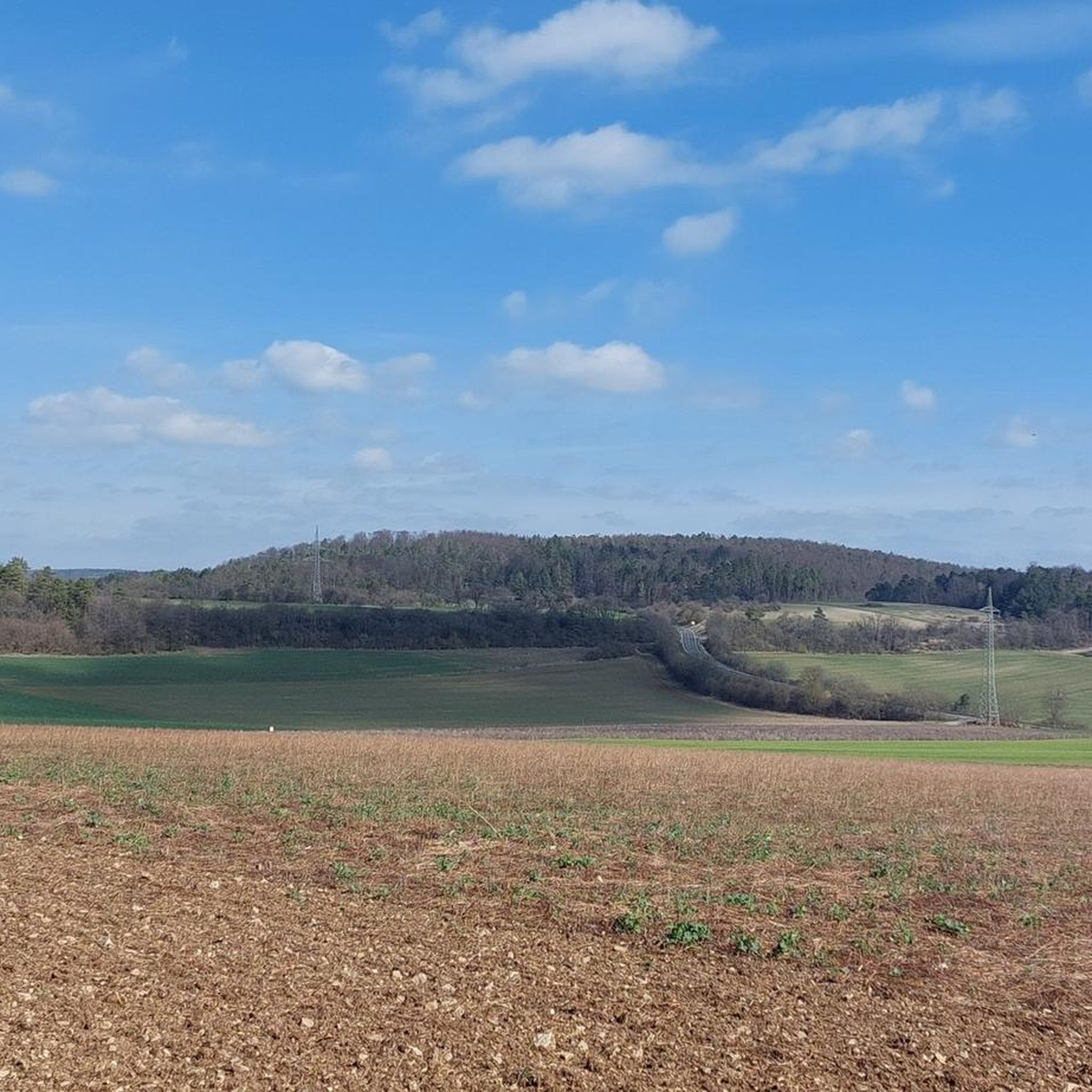
Tips from the Community

Nicely made facility. Really worth seeing.
0
0

Since 2026 with bicycle service station
0
0

I haven't seen such a beautiful old water wheel in a long time 👍
0
0


Cafe Kloster Wechterswinkel is worth a break
0
0
Here you have a nice view and the bench is not as "inappropriate" as many others :-)
0
0

There's a wealth of natural beauty to be found here. A hike is highly recommended.
1
0
Frequently Asked Questions
How many hiking trails are available in Trockenverbundgebiet Rhön - Grabfeld?
Trockenverbundgebiet Rhön - Grabfeld offers a vast network of nearly 1400 hiking trails. This includes over 780 easy routes, more than 530 moderate trails, and 42 challenging treks, ensuring options for all fitness levels.
What kind of terrain can I expect when hiking in Trockenverbundgebiet Rhön - Grabfeld?
The region is characterized by diverse terrain, ranging from gently rolling hills to more pronounced, sometimes steep, escarpments. You'll encounter unique dry grasslands (Magerrasen), juniper heaths (Wacholderheiden), species-rich calcareous grasslands, and warm-loving forests. This varied landscape provides both scenic beauty and diverse hiking experiences.
Are there any family-friendly hiking options in Trockenverbundgebiet Rhön - Grabfeld?
Yes, the region offers many family-friendly routes. With over 780 easy trails, you can find numerous options suitable for families. For example, the Gustav Fuchs Monument – Nonnenpfad loop from Bastheim is an easy 7.3 km trail that leads through varied terrain, perfect for a family outing.
What are some notable landmarks or points of interest to see while hiking?
Hikers can explore a range of attractions. You might encounter historical sites like the Jewish Cemetery Oberwaldbehrungen or the View of Hallstatt-Era Burial Mounds. Specific routes feature landmarks such as the Ostheimer Warte, the Gustav Fuchs Monument, and the Suhlesturm. The region is also part of the larger Rhön Biosphere Reserve, known for its basalt plateaus and prominent peaks like Kreuzberg.
Are there any circular hiking routes available?
Yes, many of the trails in Trockenverbundgebiet Rhön - Grabfeld are designed as loops, offering convenient circular walks. An example is the View of Mittelstreu loop from Oberstreu, an easy 6.3 km route that provides scenic views and brings you back to your starting point.
What do other hikers enjoy most about hiking in Trockenverbundgebiet Rhön - Grabfeld?
The area is highly rated by the komoot community, with an average score of 4.6 stars from over 7800 reviews. Hikers often praise the diverse landscapes, the unique dry habitats, and the well-maintained trails that cater to various difficulty levels. The scenic views and the ecological richness of the Rhön Biosphere Reserve are also frequently highlighted.
Can I bring my dog on the hiking trails?
Generally, dogs are welcome on hiking trails in Trockenverbundgebiet Rhön - Grabfeld. However, as the region is part of the Natura 2000 FFH-Gebiet (Flora-Fauna-Habitat) and the Rhön Biosphere Reserve, it's crucial to keep dogs on a leash to protect the sensitive dry habitats and wildlife. Always check local signage for specific regulations on individual trails.
Are there any longer, more challenging hikes in the area?
Yes, for those seeking a more challenging experience, there are 42 difficult trails available. Additionally, moderate routes like the Lake Frickenhäuser – Suhlesturm loop from Bastheim, which spans 16.7 km with significant elevation gain, offer a good workout and extended exploration of the landscape.
What is the best time of year to go hiking in Trockenverbundgebiet Rhön - Grabfeld?
The Trockenverbundgebiet Rhön - Grabfeld is appealing for hiking throughout much of the year. Due to its dry climate, it receives less annual rainfall, making it a good option even when other regions might be wetter. Spring and autumn offer pleasant temperatures and vibrant natural colors, while summer is ideal for enjoying the warmth-loving flora. Winter hiking is also possible, though conditions may vary.
Are there any hikes that feature lakes or water bodies?
Yes, some routes incorporate scenic water features. For instance, the Lake Frickenhäuser – Nonnenpfad loop from Bastheim is a moderate 11.7 km trail that allows you to enjoy the tranquility of Lake Frickenhäuser as part of your hike.
Is public transport available to access hiking trails in the region?
While specific public transport connections to every trailhead can vary, the broader Rhön-Grabfeld region has some public transport options. It's advisable to research local bus services or regional trains that connect to towns within or near the Trockenverbundgebiet, such as Ostheim vor der Rhön or Bastheim, and plan your hike accordingly from there.
Are there any hikes that offer panoramic views?
Absolutely. The varied topography, including hills and escarpments, provides numerous opportunities for panoramic views. The Rhön Biosphere Reserve, which encompasses this area, is known for its expansive vistas, particularly from higher points like the basalt plateaus. Many trails, such as the Ostheimer Warte – Gate Bridge, Ostheim vor der Rhön loop from Ostheimer Warte, offer excellent viewpoints of the surrounding landscape.
Most popular routes in Trockenverbundgebiet Rhön - Grabfeld
Most popular attractions in Trockenverbundgebiet Rhön - Grabfeld

Get inspired with the komoot mobile app


Explore more
Browse the best Hikes in other regions.
