The best walks and hikes in Schwärzelsberg-Langeberg-Grasburg
4.6
(3575)
11,957
hikers
652
hikes
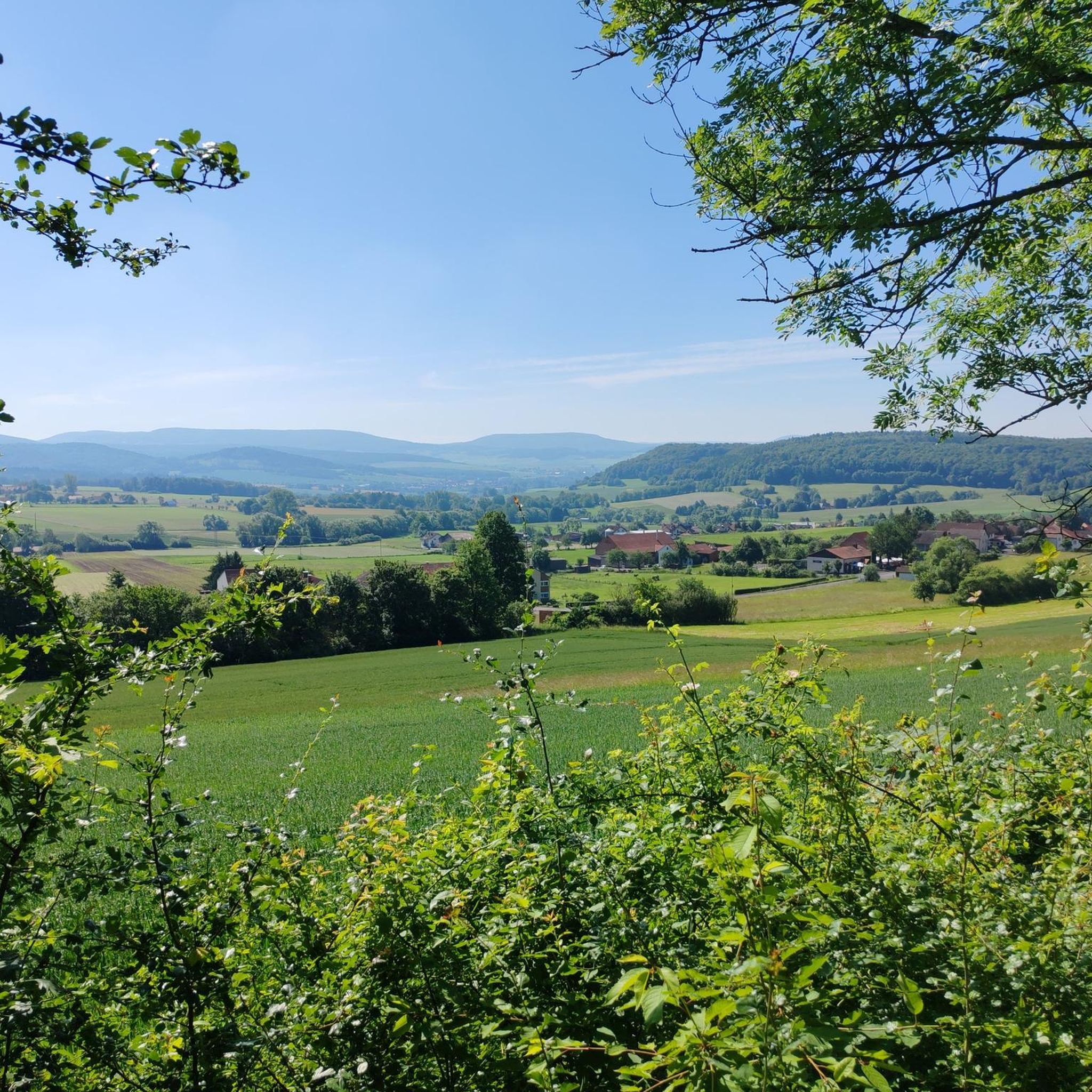
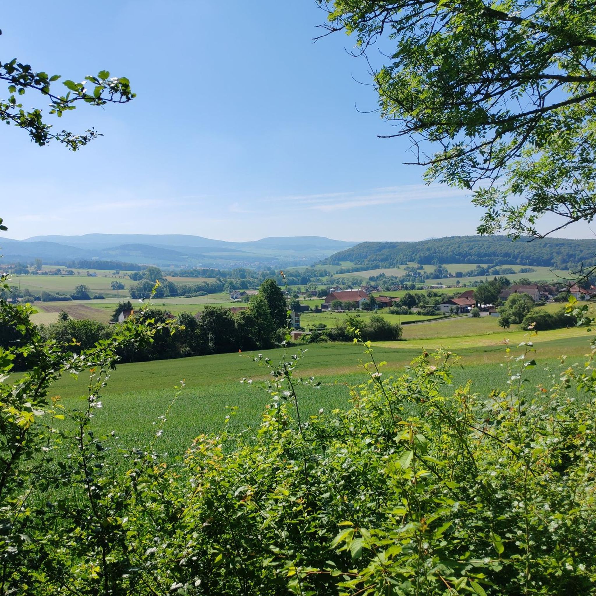
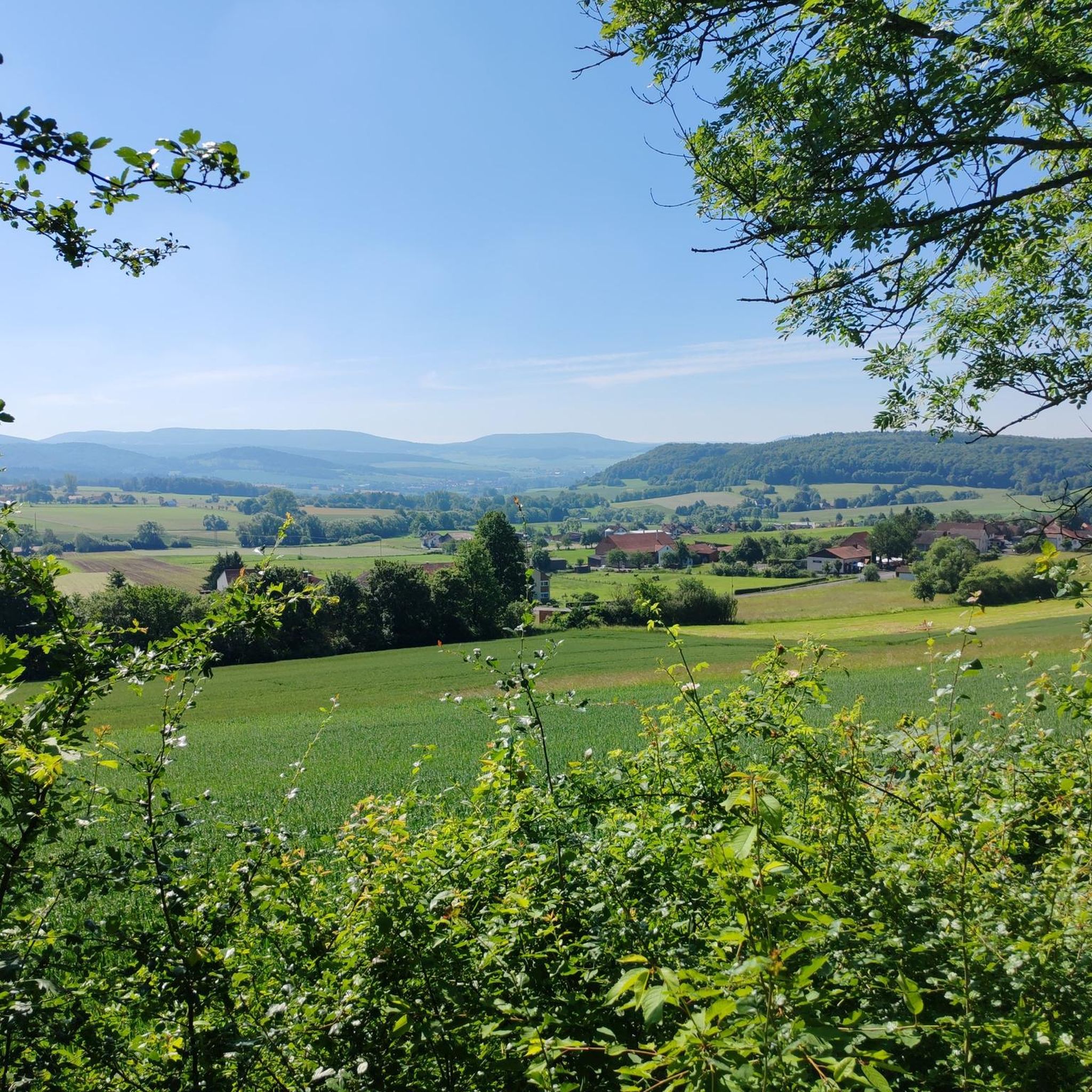
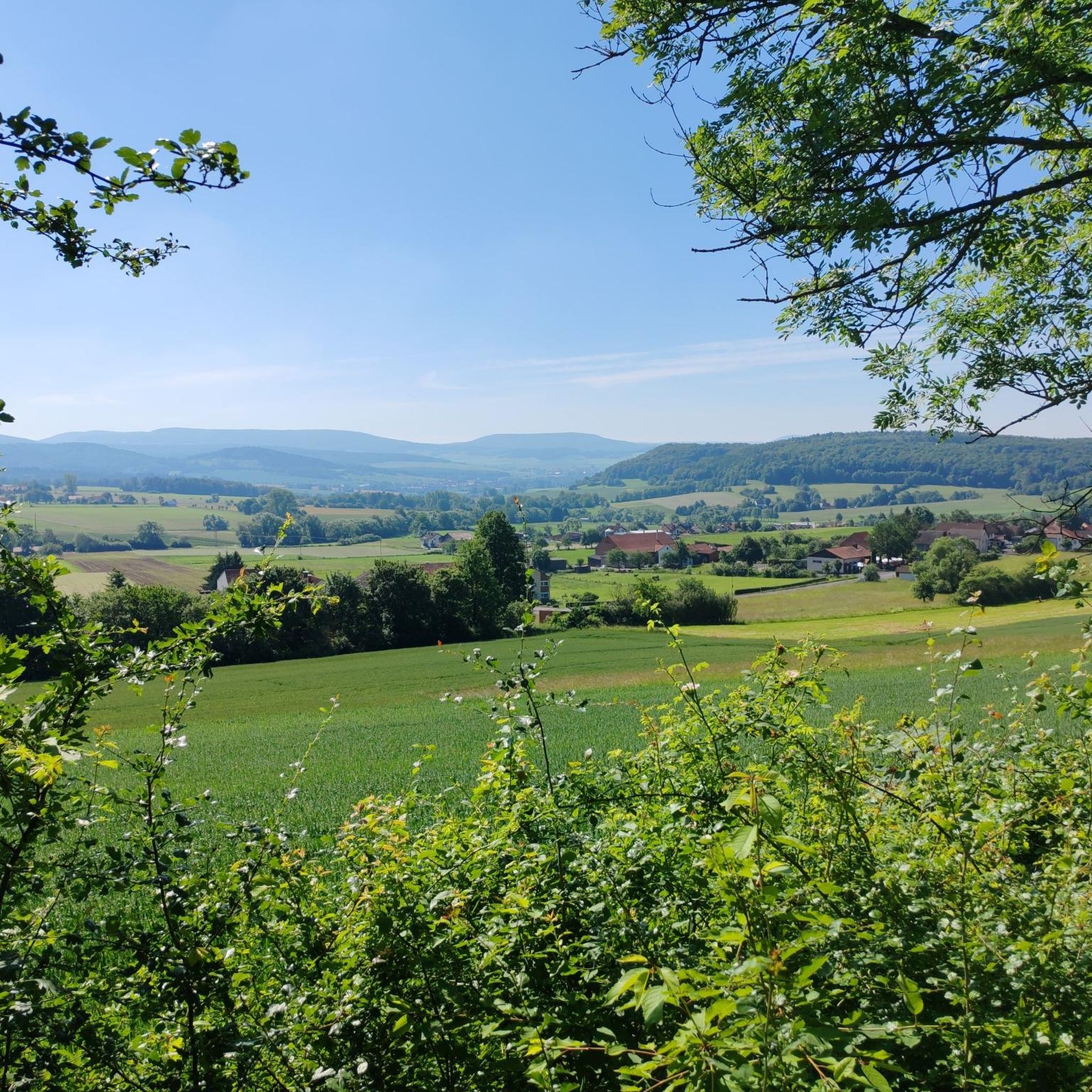
Hiking in Schwärzelsberg-Langeberg-Grasburg offers diverse trails within a nature reserve in Hesse, Germany, part of the Rhön Biosphere Reserve. The region features varied terrain, including rolling hills with elevation gains up to 1,650 feet (500 meters), tranquil pond landscapes, and extensive forests. Limestone cliffs and the Grasburg moat system add historical and natural elements to the landscape. This area provides a scenic backdrop for outdoor activities, with paths ranging from easily accessible to more challenging.
Best hiking trails in Schwärzelsberg-Langeberg-Grasburg
…Last updated: July 5, 2026
4.7
(15)
44
hikers
Moderate hike. Good fitness required. Easily-accessible paths. Suitable for all skill levels.
5.0
(12)
37
hikers
Easy hike. Great for any fitness level. Easily-accessible paths. Suitable for all skill levels.

Sign up for free
5.0
(8)
31
hikers
Easy hike. Great for any fitness level. Easily-accessible paths. Suitable for all skill levels.
4.5
(13)
36
hikers
Easy hike. Great for any fitness level. Easily-accessible paths. Suitable for all skill levels.
4.2
(5)
26
hikers
Easy hike. Great for any fitness level. Easily-accessible paths. Suitable for all skill levels.
Get access to more routes and recommendations from other explorers.
Sign up for free
Already have an account?
Our route recommendations are based on thousands of hikes, rides, and runs completed by other people on komoot.
Start today with a free account
Your next adventure awaits.
Login or Signup
Tips from the Community

Interesting small island in the middle of the lake
0
0
Very nice place and a pleasant stay at the Parkhotel
0
0

Start and finish of hikes around the Soisberg
0
0

Very nice hotel 🏨 with everything your heart desires 👍 swimming pool, sauna, very quiet 😌 and above all delicious food 🥘 🍳🥗🍖🍺🍷😋
0
0

The jetty may look rickety, but from the island you have a beautiful view of the holiday village and the hotel park.
1
0
Next to the hotel park is an idyllic holiday village with charming weekend cottages. Nestled in a small pond landscape, it's a worthwhile starting point for hikes in the surrounding area.
1
0
From the fence you can observe huge mirror carp and a few ducks.
1
0
A beautiful section of the circular route to walk.
1
0
Frequently Asked Questions
How many hiking trails are available in Schwärzelsberg-Langeberg-Grasburg?
There are over 600 hiking routes in Schwärzelsberg-Langeberg-Grasburg, offering a wide variety of options for all skill levels. This includes more than 340 easy trails, 280 moderate routes, and a few challenging hikes.
Are there easy hiking trails suitable for beginners or families?
Yes, Schwärzelsberg-Langeberg-Grasburg offers a significant number of easy trails, with over 340 routes designed for less experienced hikers or families. These paths often feature gentle inclines and well-maintained surfaces. An example is the Soisberg Observation Tower – Wedding Tree loop from Kernzone des NSG Schwärzelsberg-Langeberg-Grasburg, which is an easy 3.6-mile (5.7 km) path connecting two notable landmarks.
What kind of terrain can I expect on the hiking trails?
The region features varied terrain, including hills and a tranquil small pond landscape. You can expect paths ranging from easily accessible, well-maintained routes to more challenging trails with significant elevation gains. The area is part of a natural park, providing a scenic backdrop for diverse outdoor activities.
Are there any circular hiking routes in Schwärzelsberg-Langeberg-Grasburg?
Yes, many of the trails in Schwärzelsberg-Langeberg-Grasburg are circular, allowing you to start and end at the same point. Popular examples include the Wedding Tree – Soisberg Tower loop from Wehrshausen and the Soisberg Observation Tower – Soislieden Panoramic Bench loop from Schwärzelsberg-Langeberg-Grasburg.
What attractions or viewpoints can I see while hiking?
Several trails incorporate notable attractions and offer scenic viewpoints. Key landmarks include the Soisberg Observation Tower and the Wedding Tree. You can also find highlights such as the View of Oechsenberg and Dietrichsberg, the Schwärzelsberg Summit, and the Panoramic View of the Kali-Berg Röhrigshof.
Are the hiking trails in Schwärzelsberg-Langeberg-Grasburg dog-friendly?
While specific regulations for dogs vary, generally, dogs are welcome on most hiking trails in natural areas, provided they are kept on a leash and owners clean up after them. It's always a good idea to check local signage for any specific restrictions in certain sections or protected areas.
What do other hikers say about the trails in Schwärzelsberg-Langeberg-Grasburg?
The trails in Schwärzelsberg-Langeberg-Grasburg are highly rated by the komoot community, with an average score of 4.6 stars from over 3,000 reviews. Hikers often praise the varied terrain, the well-maintained paths, and the beautiful natural park environment.
Can I find hikes with significant elevation gain in this region?
Yes, the region features varied terrain with hills, and some routes offer substantial elevation gains. While many trails are easy, there are moderate and even a few difficult routes that can challenge experienced hikers, with some paths reaching up to 1,650 feet (500 meters) of ascent.
Are there any routes that start near the holiday village or pond landscape?
Yes, the idyllic holiday village nestled in a small pond landscape serves as a charming starting point for several hikes. From a jetty in this area, you can enjoy scenic views and observe local wildlife. The Idyllic Forest Path – Hotel Park Hohenroda loop from Schwärzelsberg-Langeberg-Grasburg is an easy route that begins near this area.
What is the best time of year to go hiking in Schwärzelsberg-Langeberg-Grasburg?
The natural park environment of Schwärzelsberg-Langeberg-Grasburg is enjoyable throughout much of the year. Spring and autumn offer pleasant temperatures and beautiful scenery with blooming flowers or vibrant fall foliage. Summer is also popular, though some trails might be busier. Winter hiking is possible, but conditions can vary, so checking local weather is advisable.
Are there any unique natural features to look out for?
Beyond the varied terrain and hills, the region is notable for its tranquil small pond landscape, which adds a serene element to the hiking experience. These water features, especially around the holiday village, offer peaceful spots for observation and relaxation.
Are there any trails that lead to the Schwärzelsberg Summit?
Yes, you can find routes that lead to the Schwärzelsberg Summit, offering rewarding views of the surrounding landscape. These trails provide an opportunity to reach one of the higher points in the area and enjoy panoramic vistas.
Most popular routes in Schwärzelsberg-Langeberg-Grasburg
Most popular attractions in Schwärzelsberg-Langeberg-Grasburg

Get inspired with the komoot mobile app


Explore more
Browse the best Hikes in other regions.
