The best mountain hikes in Bergland Wittgenstein
4.5
(4)
23
hikers
8
hikes
Mountaineering in Bergland Wittgenstein, part of the Rothaargebirge low mountain range, offers challenging experiences within a landscape characterized by expansive, densely forested areas and rolling hills. The region features significant elevation changes, with peaks like Langenberg and Kahler Asten providing elevated viewpoints. River valleys, including those of the Lahn and Eder, complement the mountainous terrain, creating a diverse environment for outdoor activities.
Best mountaineering routes in Bergland Wittgenstein
- The most popular mountaineering route is Lennequelle – View of the Tannenwald…
Last updated: July 1, 2026
3
hikers
6.47km
01:55
190m
190m
Easy mountaineering route. Great for any fitness level. Easily-accessible paths. Suitable for all skill levels.
4.5
(2)
5
hikers
6.24km
01:43
110m
110m
Easy mountaineering route. Great for any fitness level. Easily-accessible paths. Suitable for all skill levels.

Sign up for free
2
hikers
11.3km
03:19
310m
310m
Moderate mountaineering route. Good fitness required. Easily-accessible paths. Suitable for all skill levels.
1
hikers
13.1km
03:53
400m
400m
Moderate mountaineering route. Good fitness required. Easily-accessible paths. Suitable for all skill levels.
1
hikers
10.6km
03:18
390m
390m
Moderate mountaineering route. Good fitness required. Easily-accessible paths. Suitable for all skill levels.
Get access to more routes and recommendations from other explorers.
Sign up for free
Already have an account?
Our route recommendations are based on thousands of hikes, rides, and runs completed by other people on komoot.
Start today with a free account
Your next adventure awaits.
Login or Signup
Tips from the Community

Top address on the Kahler Asten for weather records.
0
0

The trail is very steep and rooty. It ends at the Nordhang Jause.
0
0

Just behind the mountain station on the Sürenberg, the summit cross rises into the sky. It's worth stopping for a moment, especially when the west wind sprinkles the fresh snow around the wood like powdered sugar.
0
0

Here we see the Kreuzberg Chapel, a rectangular natural stone chapel with a three-sided closure was built in 1867. A war memorial was built on the forecourt after the Second World War.
0
0

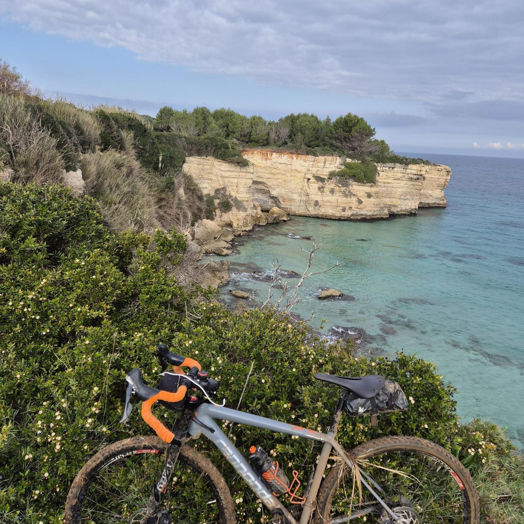
At the end of the trail there is a nice place to stop for a break. The innkeeper was also happy to see a rather dirty cyclist. ;-)
0
0

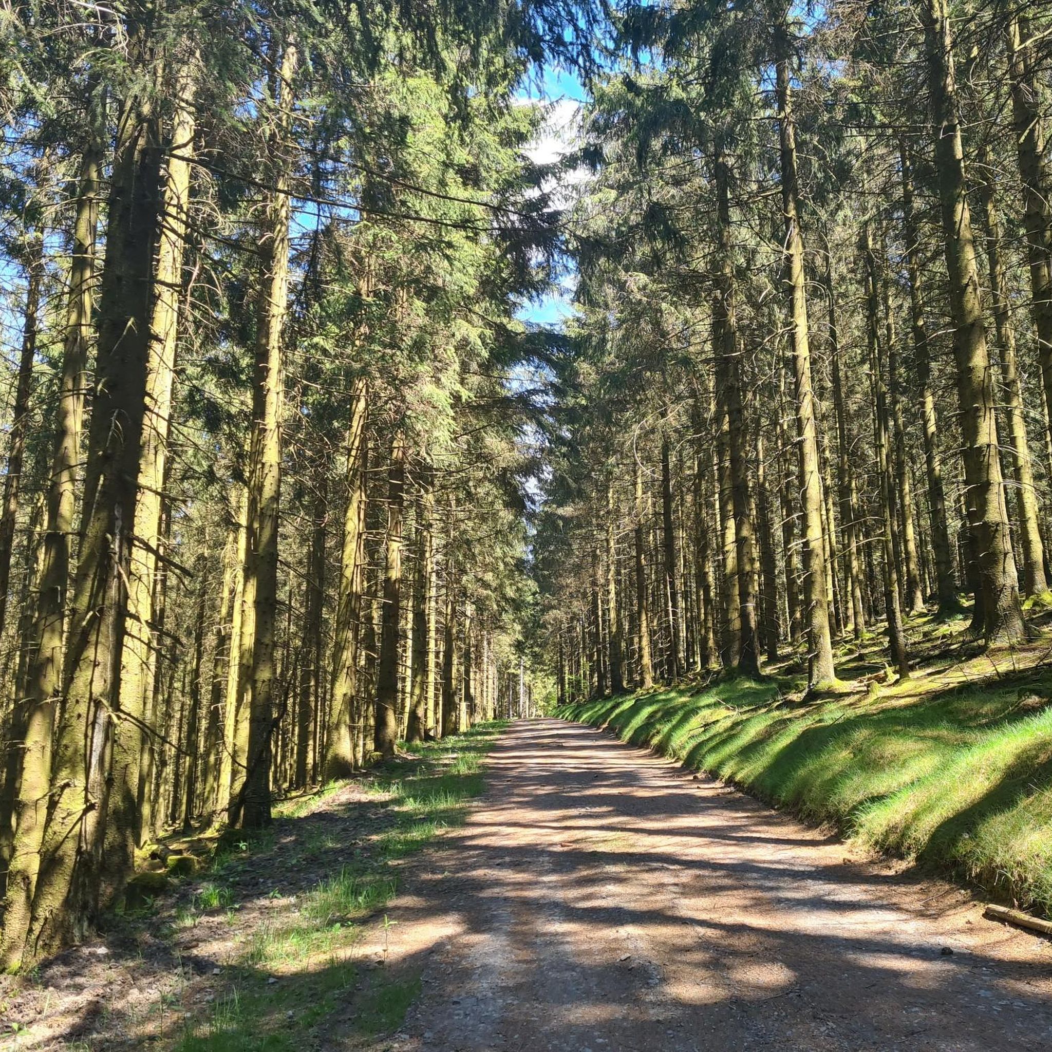
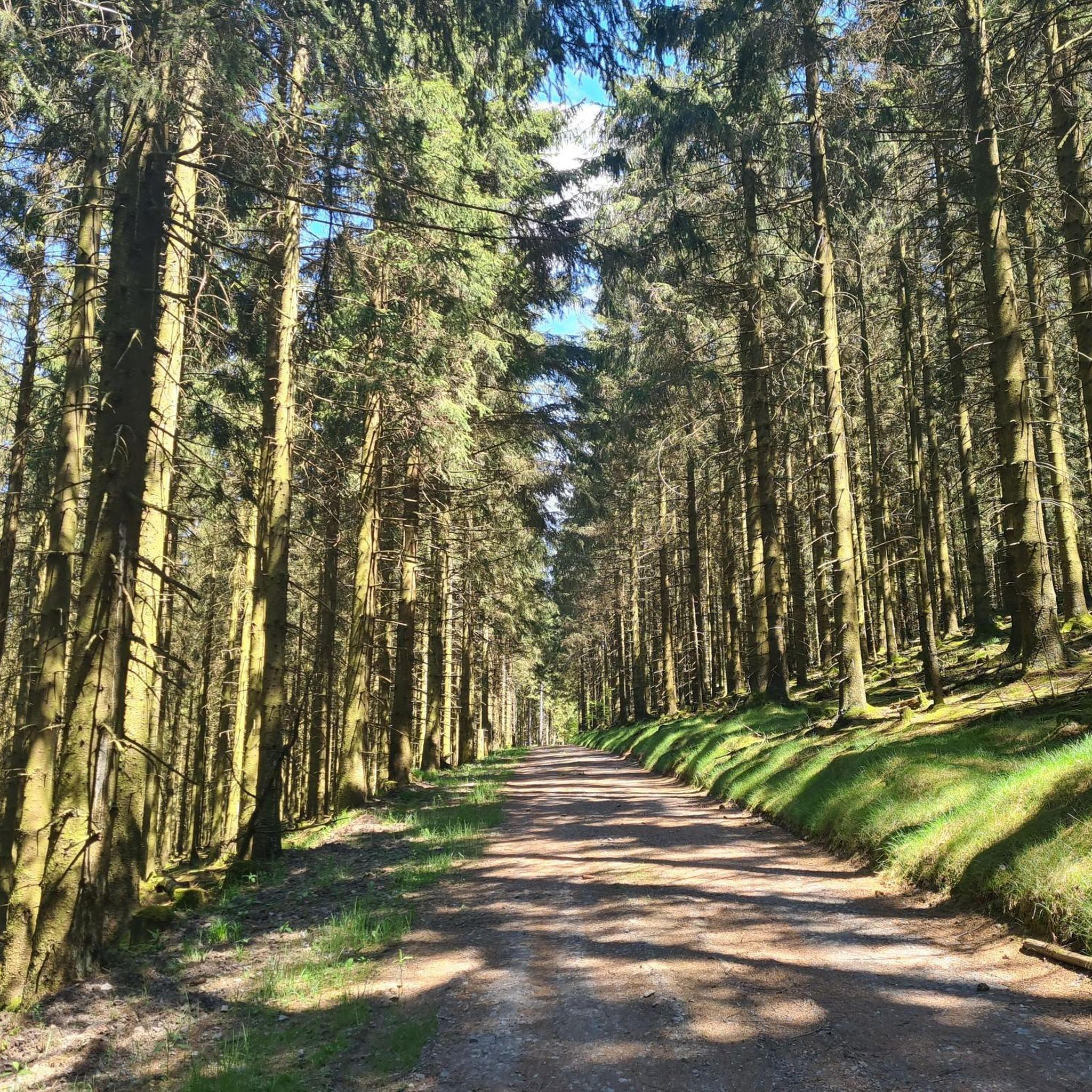
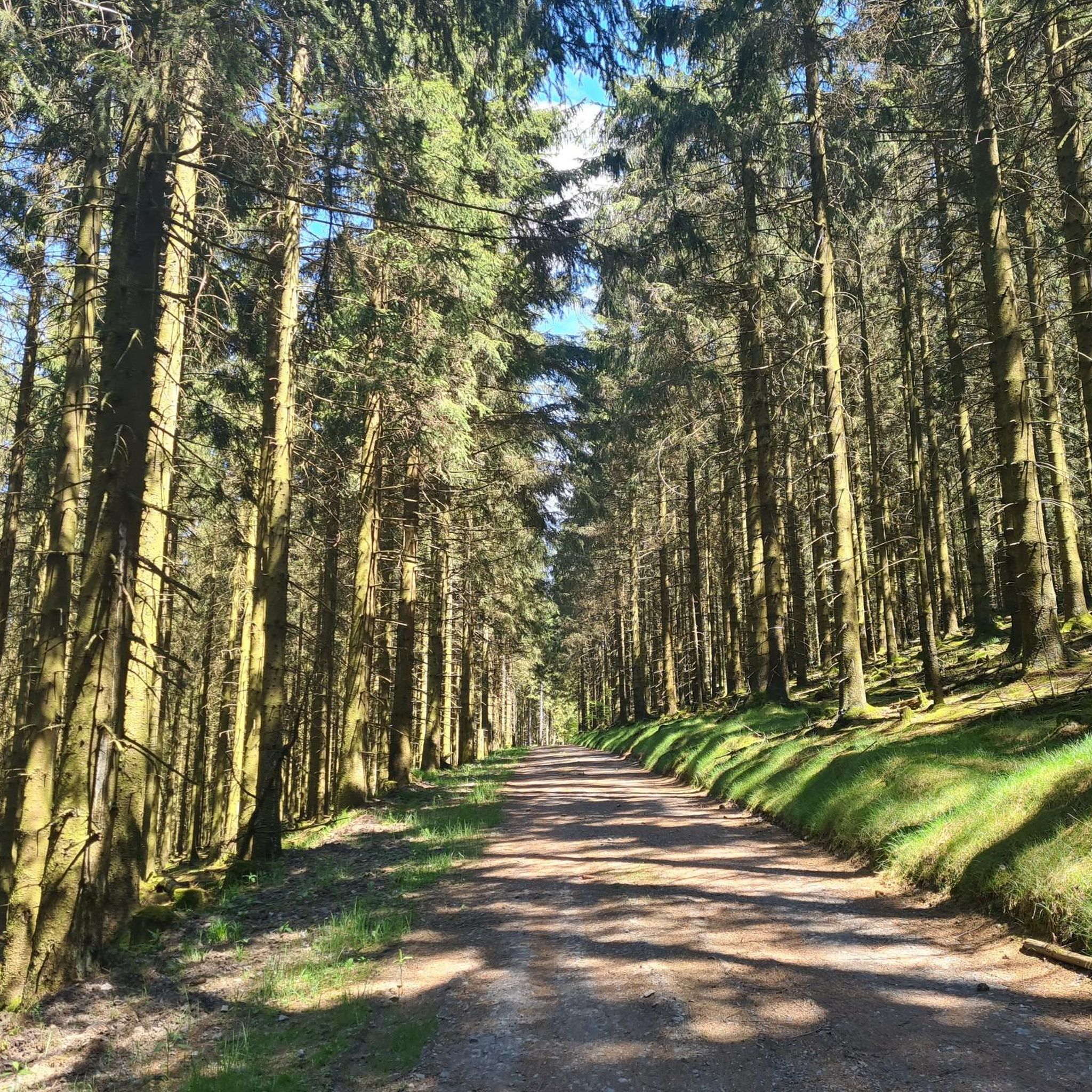
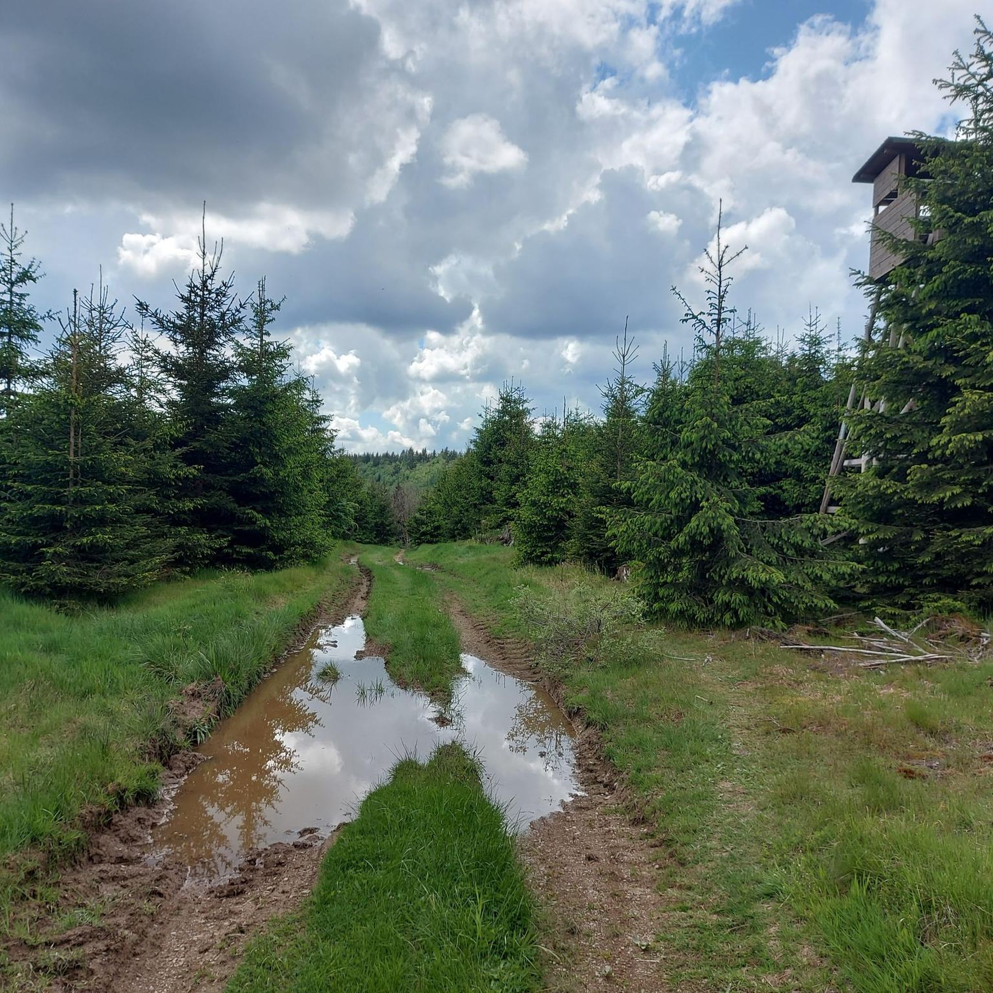
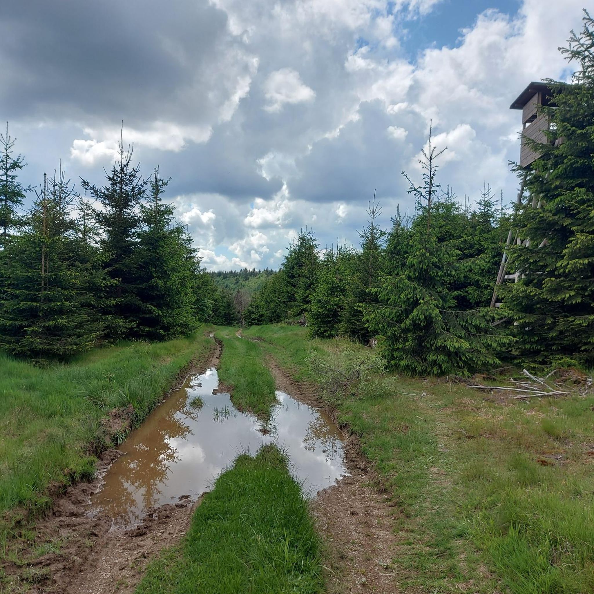
Very nice quiet forest path
3
0
Great view over the fir forest
1
0
Weather station with information board on the summit of the Kahler Asten
1
0
Frequently Asked Questions
How many mountaineering routes are available in Bergland Wittgenstein?
There are 8 dedicated mountaineering routes in Bergland Wittgenstein, offering a range of experiences from easy loops to more moderate ascents. You'll find 2 easy routes and 6 moderate routes to explore.
What kind of terrain can I expect on mountaineering routes in Bergland Wittgenstein?
The terrain in Bergland Wittgenstein is characterized by expansive, densely forested landscapes, rolling hills, and picturesque river valleys. While not alpine, the routes feature significant elevation changes, requiring good fitness and sturdy shoes. You'll often be hiking through dense woods and along scenic ridges.
Are there any easy mountaineering routes suitable for beginners?
Yes, there are a couple of easy routes perfect for those new to mountaineering or looking for a less strenuous experience. For example, the Lennequelle – View of the Tannenwald Forest loop from Neuastenberg is an easy 6.3 km trail, and the Brembergkopf Valley Station loop from Schneil is another accessible option at 6.2 km.
What are some notable landmarks or points of interest I might encounter on these routes?
Along your mountaineering adventures, you can discover several interesting points. You might pass by historical sites like the Feme court "Freier Stuhl" or experience challenging sections such as the Steep Ascent at Hengegericht Freie Stuhl. The region also features trails like the Ziegenhelle Trail via Femengericht and the Trail to Böses Holz.
Are there any longer, more challenging routes for experienced mountaineers?
While there are no 'difficult' graded routes in this specific selection, several moderate routes offer a good challenge. The Lenne Spring – View from Hoher Knochen loop from Kahler Asten is a longer moderate option at 13.1 km, featuring significant elevation changes. The Wittgensteiner Panoramaweg, which connects with the Rothaarsteig, also offers strenuous sections for multi-day hiking.
What do other mountaineers appreciate most about Bergland Wittgenstein?
The area is highly rated by the komoot community, with an average score of 4.5 stars from over 4 reviews. Reviewers often praise the region's dense forests, rolling hills, and the diverse terrain that provides a fulfilling experience for those seeking strenuous outdoor activities.
Are there any circular mountaineering routes in Bergland Wittgenstein?
Yes, many of the routes in Bergland Wittgenstein are designed as loops, allowing you to start and end at the same point. Examples include the Trail to or from Kahlen Asten – Kahler Asten loop from Kahler Asten, which takes you around the notable Kahler Asten peak, and the Lenne Spring – Kreuzberg Chapel loop from Oberes Lennetal.
What is the best time of year for mountaineering in Bergland Wittgenstein?
The Bergland Wittgenstein region is beautiful year-round, but for mountaineering, spring through autumn generally offers the best conditions. The dense forests provide shade in summer, while spring and autumn showcase vibrant foliage. Winter mountaineering is possible but requires appropriate gear and awareness of snow and ice conditions.
Is Bergland Wittgenstein suitable for multi-day mountaineering trips?
Yes, the region is well-suited for multi-day hiking and mountaineering. The Wittgensteiner Panoramaweg, for instance, offers multi-day opportunities with varying difficulties, including strenuous sections. It connects with other long-distance trails like the Rothaarsteig, providing extensive options for longer adventures.
What kind of natural features define the mountaineering experience in Bergland Wittgenstein?
Mountaineering in Bergland Wittgenstein is defined by its integral position within the Rothaargebirge low mountain range. You'll experience vast, densely forested areas, rolling hills, and the upper reaches of river valleys like the Lahn and Eder. Peaks such as Langenberg and Kahler Asten offer elevated viewpoints and significant ascents, creating a true mountain-like feel despite being a low mountain range.
Are there any routes that offer panoramic views?
Absolutely. The region is known for its panoramic vistas. The Wittgensteiner Panoramaweg, as its name suggests, provides exceptional views across the Rothaargebirge. Many routes also lead to or near prominent peaks like Kahler Asten, offering expansive outlooks over the forested landscape.
Most popular routes in Bergland Wittgenstein
Most popular attractions in Bergland Wittgenstein

Get inspired with the komoot mobile app


Explore more
Browse the best Mountain Hikes & Routes in other regions.
