The best walks and hikes in Nsg Eselsbruch / Harlebachsystem
4.6
(9694)
33,607
hikers
1,166
hikes
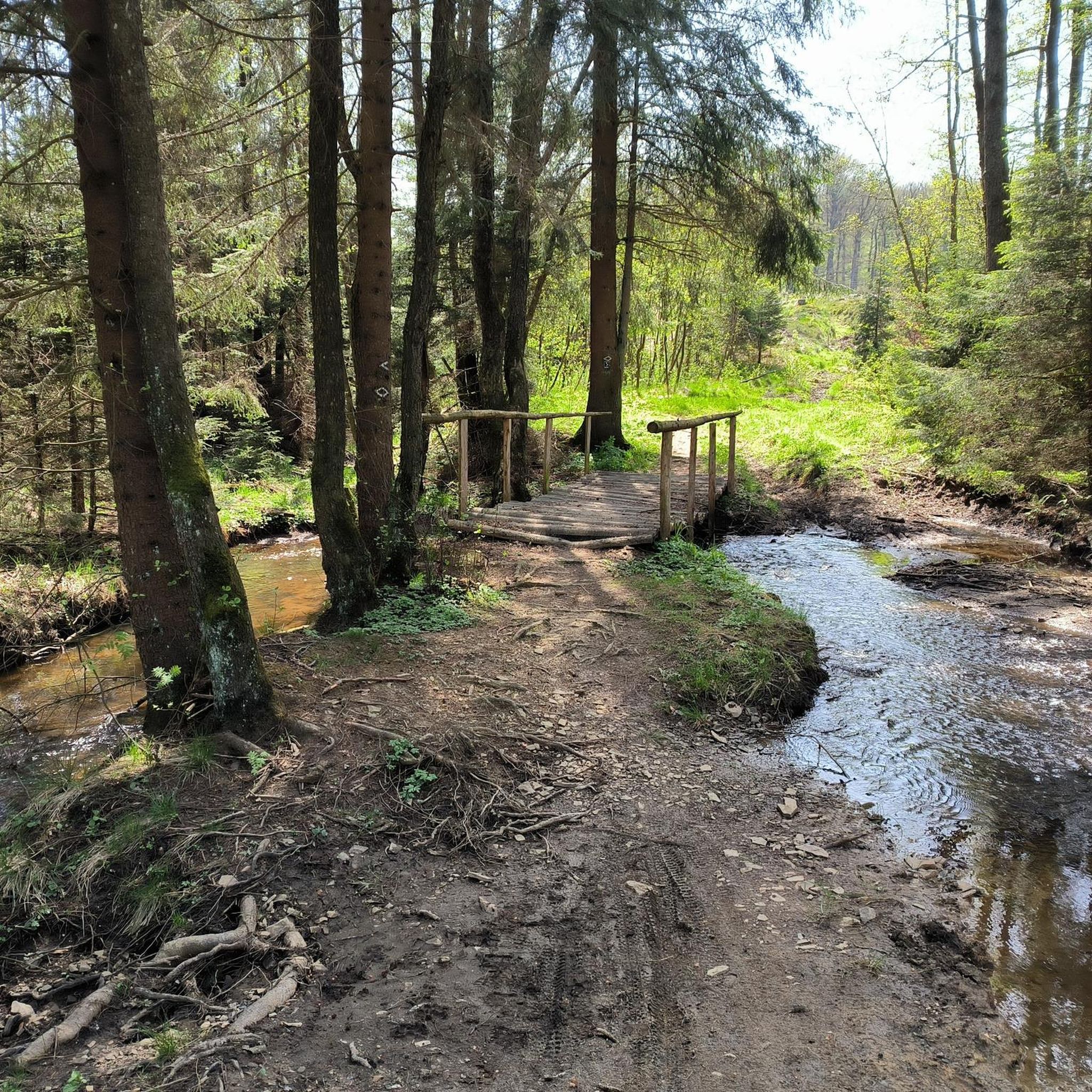
Hiking trails in Nsg Eselsbruch / Harlebachsystem traverse a nature reserve characterized by diverse forest ecosystems and the Harlebach stream system. The landscape features gentle elevation changes, providing accessible paths through wooded areas and along watercourses. This region offers a mix of natural habitats, including biotopes and stream valleys, suitable for various outdoor activities.
Best hiking trails in Nsg Eselsbruch / Harlebachsystem
- The most popular hiking route is Forest Ant Biotope – Spring 2000 loop from Almetal, an easy…
Last updated: August 20, 2026
3.5
(4)
13
hikers
Easy hike. Great for any fitness level. Easily-accessible paths. Suitable for all skill levels.
4.3
(6)
13
hikers
6.69km
01:50
110m
110m
Easy hike. Great for any fitness level. Easily-accessible paths. Suitable for all skill levels.

Sign up for free
9
hikers
10.2km
02:52
210m
210m
Moderate hike. Good fitness required. Easily-accessible paths. Suitable for all skill levels.
5.0
(2)
9
hikers
Easy hike. Great for any fitness level. Easily-accessible paths. Suitable for all skill levels.
4.0
(1)
5
hikers
16.1km
04:22
230m
230m
Moderate hike. Good fitness required. Easily-accessible paths. Suitable for all skill levels.
Get access to more routes and recommendations from other explorers.
Sign up for free
Already have an account?
Our route recommendations are based on thousands of hikes, rides, and runs completed by other people on komoot.
Start today with a free account
Your next adventure awaits.
Login or Signup
Tips from the Community

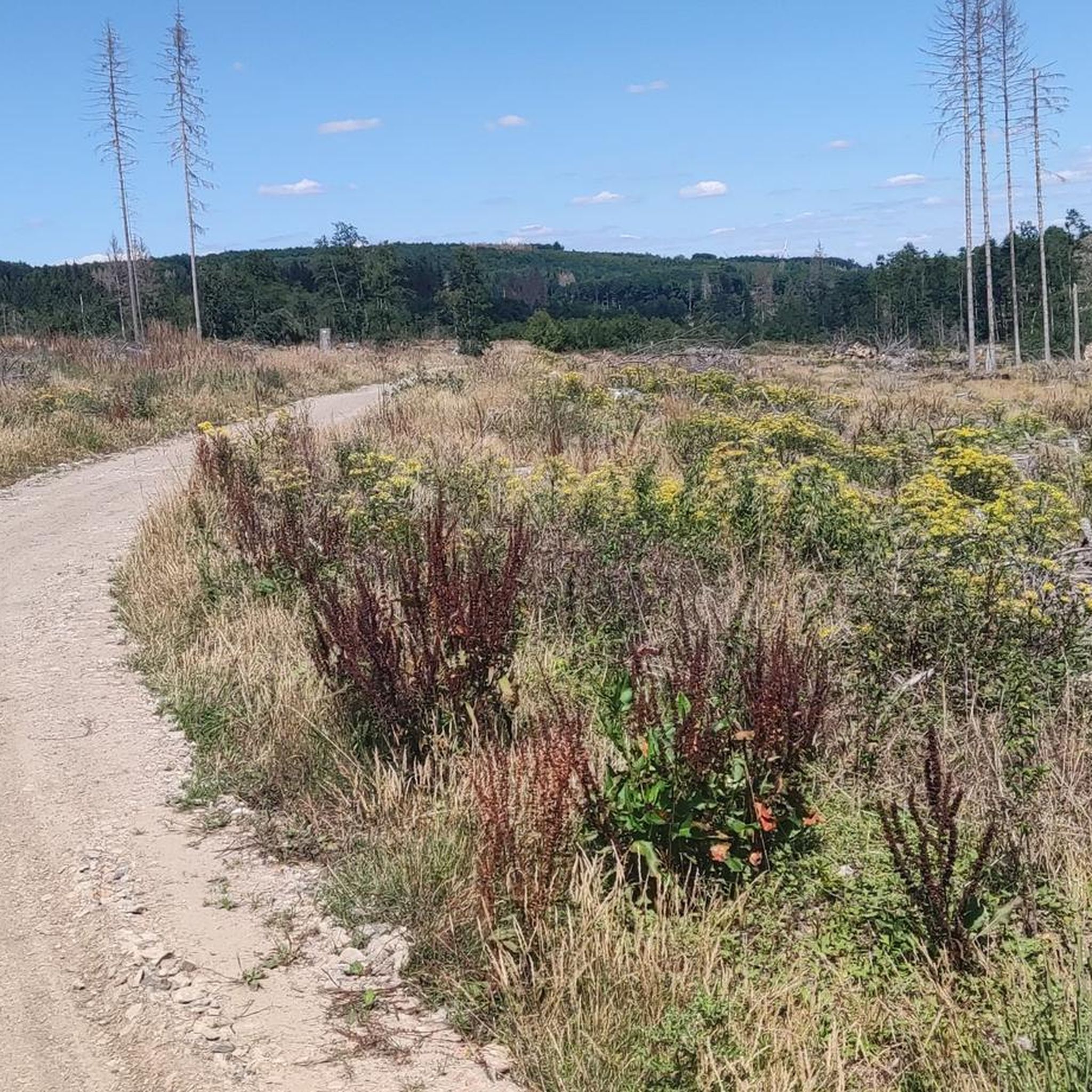
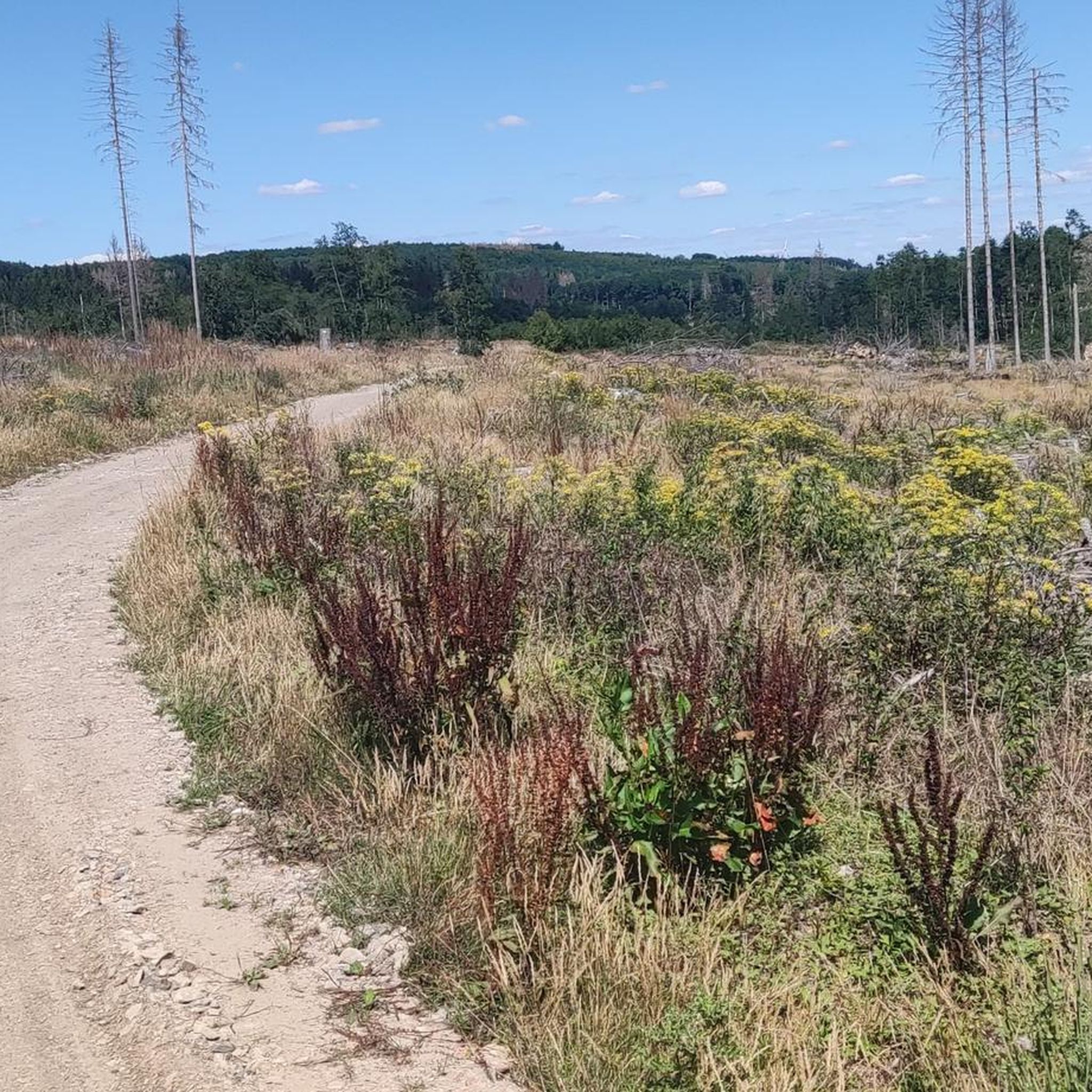
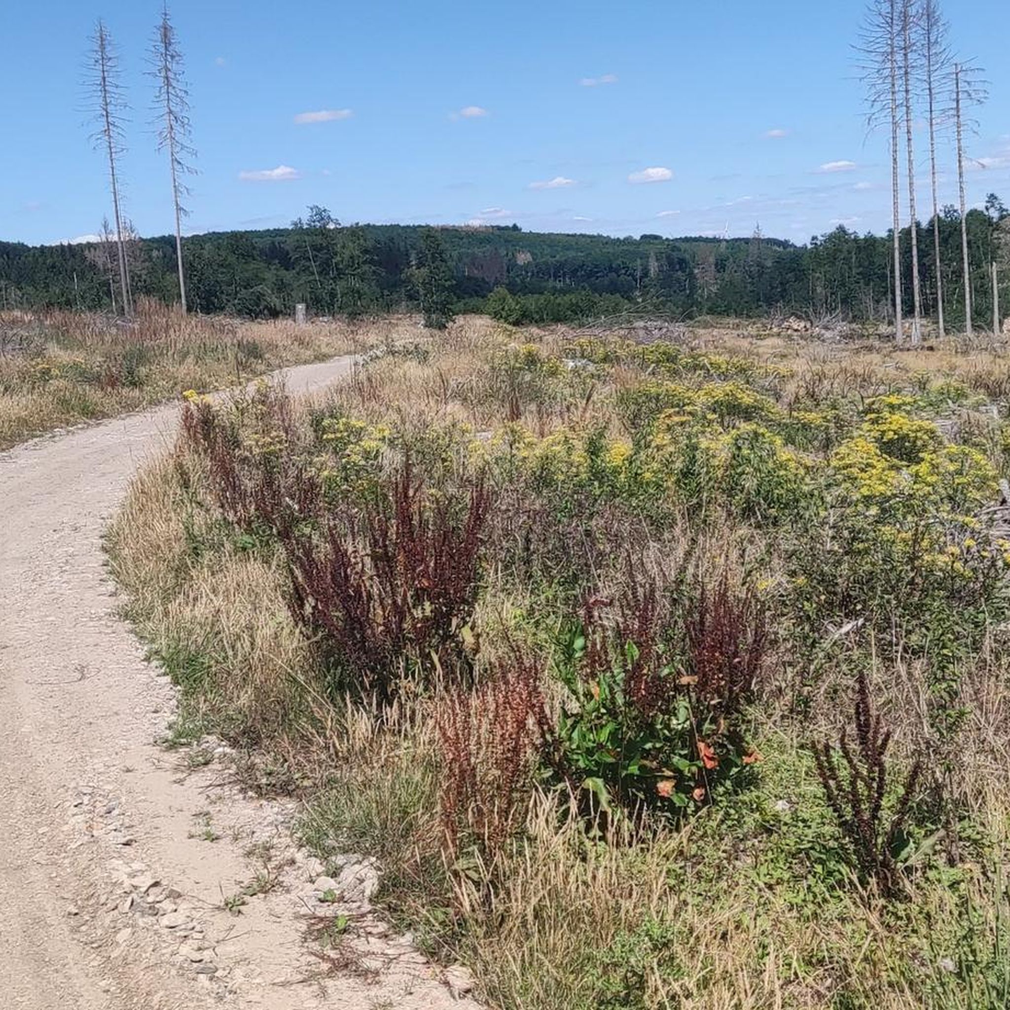
Parts of the trail are unfortunately very overgrown, especially a section between Zollpfosten and Vorderer Platz. I turned back today because everything was overgrown.
0
0

The intersection of the Soest, Paderborn, and Hochsauerland districts. Built in this form in 1990, a boundary stone path leads along this site.
0
0
Boundary stone at the intersection of the Hochsauerland district, the Paderborn district, and the Soest district. Erected in this form in 1990. A boundary stone path leads along this site.
0
0

...the bridge was closed, but you can still drive through the stream...
1
0

These trails are simply magnificent.....what more could you want...simply super
1
0

Top Trail couldn't be more beautiful (at least for the first 7km)
0
0

Very worth seeing hiking trail along the Alme.
0
0
Frequently Asked Questions
How many hiking trails are available in Nsg Eselsbruch / Harlebachsystem?
The Nsg Eselsbruch / Harlebachsystem area offers nearly 1200 hiking trails. This extensive network includes routes of varying lengths and difficulties, ensuring options for every type of hiker.
What kind of terrain will I encounter on the trails in Nsg Eselsbruch / Harlebachsystem?
Hikers can expect diverse terrain characterized by forest paths, stream valleys, and gentle hills. The trails often lead through wooded areas and along watercourses, reflecting the nature reserve's varied ecosystems and the Harlebach stream system.
Are there any family-friendly hiking routes in Nsg Eselsbruch / Harlebachsystem?
Yes, there are many family-friendly options. The region's gentle elevation changes and well-maintained paths make it suitable for all ages. An easy route like the Achtenberg Rest Area – Spechtenberg Shelter loop from Harth is a good choice, offering a pleasant walk through the forest.
Can I bring my dog on the hiking trails in Nsg Eselsbruch / Harlebachsystem?
Most trails in Nsg Eselsbruch / Harlebachsystem are dog-friendly, allowing you to explore the natural beauty with your canine companion. Always keep your dog on a leash, especially in a nature reserve, and be mindful of local regulations and wildlife.
Are there any circular hiking routes in the Nsg Eselsbruch / Harlebachsystem area?
Yes, many of the trails in Nsg Eselsbruch / Harlebachsystem are circular, offering convenient starting and ending points. For example, the Campsite on the summer side – Bench at Rüthener Weg Crossing loop from Hinter’m Bruch is an easy circular route that allows you to return to your starting point without retracing your steps.
What interesting landmarks or natural features can I see along the trails?
The area features several points of interest. You might encounter the Border post in the Ringelsteiner Forest, the Wooden Bridge Over the Harlebach Stream, or the unique Forest Ant Biotope. These highlights offer glimpses into the region's history and ecology.
What is the best time of year to go hiking in Nsg Eselsbruch / Harlebachsystem?
Hiking in Nsg Eselsbruch / Harlebachsystem is enjoyable year-round. Spring brings lush greenery and blooming flora, summer offers pleasant forest shade, autumn showcases vibrant fall colors, and winter provides serene, quiet landscapes. Each season offers a unique experience of the nature reserve.
Where can I find parking for the hiking trails?
Parking is generally available at various access points and trailheads around the Nsg Eselsbruch / Harlebachsystem. Specific parking information can often be found on individual route descriptions or local signage near popular starting points.
Is public transport available to reach the Nsg Eselsbruch / Harlebachsystem hiking areas?
While public transport options may be limited directly into the heart of the nature reserve, regional bus services connect to nearby towns like Brilon, Alme, or Wülfte. From these points, you might need to walk or arrange for local transport to reach specific trailheads.
What do other hikers enjoy most about Nsg Eselsbruch / Harlebachsystem?
The area is highly rated by the komoot community, with an average score of 4.6 stars from over 8,200 reviews. Reviewers often praise the quiet woodlands, the diverse natural habitats, and the well-maintained paths that make for a pleasant hiking experience.
Are there any cafes or restaurants near the hiking trails?
While the nature reserve itself is primarily undeveloped, you can find cafes and restaurants in the surrounding villages and towns such as Alme, Wülfte, or Brilon. These establishments offer opportunities for refreshments and meals before or after your hike.
Most popular routes in Nsg Eselsbruch / Harlebachsystem
Most popular attractions in Nsg Eselsbruch / Harlebachsystem

Get inspired with the komoot mobile app


Explore more
Browse the best Hikes in other regions.
