Dhünntal Und Linnefetal Mit Seitentälern
Dhünntal Und Linnefetal Mit Seitentälern
The best MTB trails in Dhünntal Und Linnefetal Mit Seitentälern
4.5
(3150)
10,715
riders
323
rides
Mountain biking in Dhünntal Und Linnefetal Mit Seitentälern features diverse natural landscapes within the Bergisches Land Nature Park. The region is characterized by near-natural stream valley systems, extensive riparian forests, and varied habitats around the Dhünn and Linnefe rivers. Mountain bikers will encounter terrain including wet grasslands, quiet forests, and some distinctive rock formations, with the Dhünntalsperre (Dhünn Dam) serving as a prominent landmark. Many routes include narrow, sometimes rooted paths along the water and sections of fast singletrack.
Best…
Last updated: June 29, 2026
4.2
(14)
46
riders
19.9km
01:48
390m
390m
Moderate mountain bike ride. Good fitness required. Suitable for all skill levels.
4.1
(7)
57
riders
8.95km
00:53
210m
210m
Moderate mountain bike ride. Great for any fitness level. Advanced riding skills necessary.

Sign up for free
5.0
(4)
7
riders
24.6km
02:09
440m
440m
Moderate mountain bike ride. Good fitness required. Suitable for all skill levels.
4.3
(4)
47
riders
9.58km
00:55
220m
220m
Moderate mountain bike ride. Great for any fitness level. Advanced riding skills necessary.
4
riders
15.6km
01:23
290m
290m
Easy mountain bike ride. Great for any fitness level. Suitable for all skill levels.
Get access to more routes and recommendations from other explorers.
Sign up for free
Already have an account?
Our route recommendations are based on thousands of hikes, rides, and runs completed by other people on komoot.
Start today with a free account
Your next adventure awaits.
Login or Signup
Popular around Dhünntal Und Linnefetal Mit Seitentälern
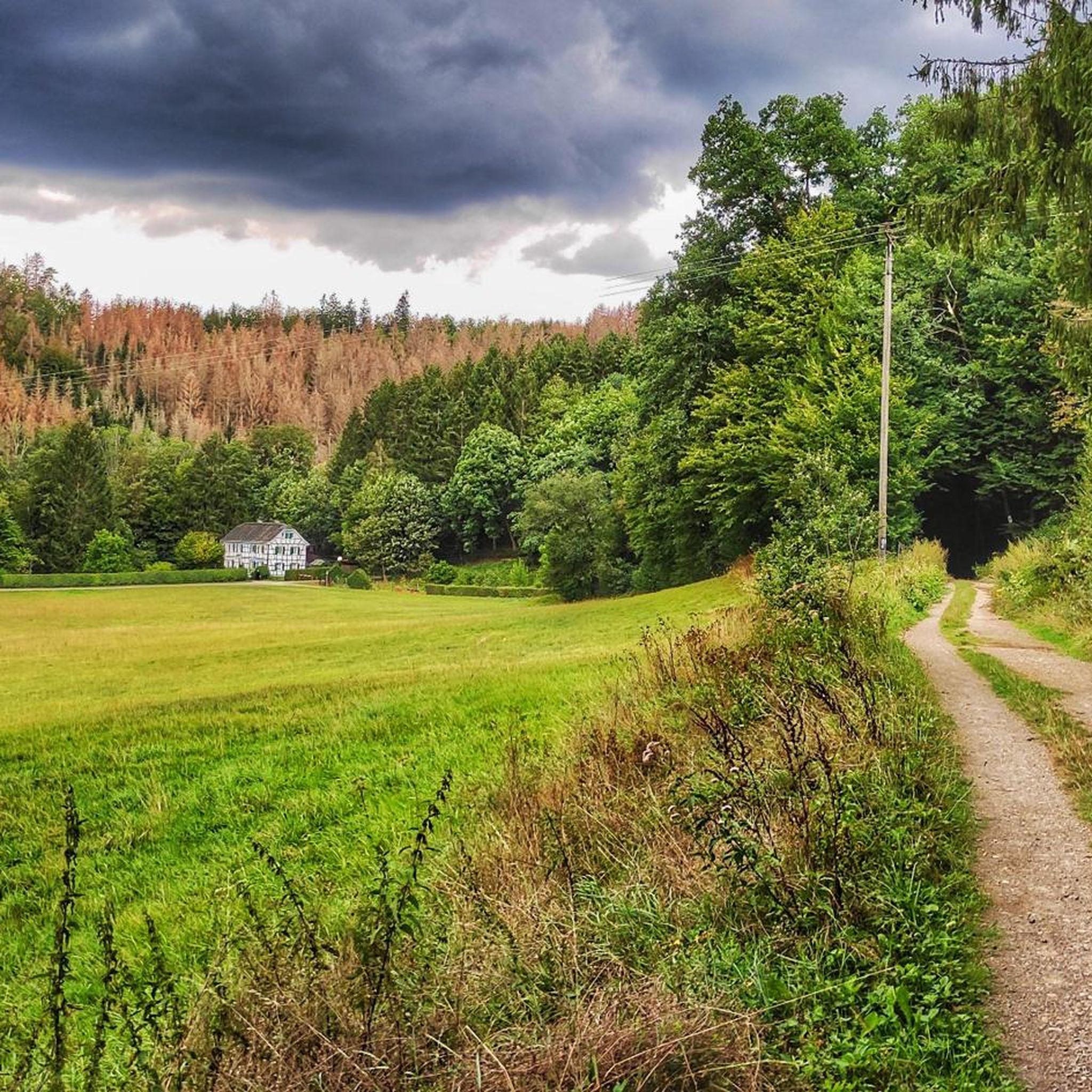
Hiking in Dhünntal Und Linnefetal Mit Seitentälern
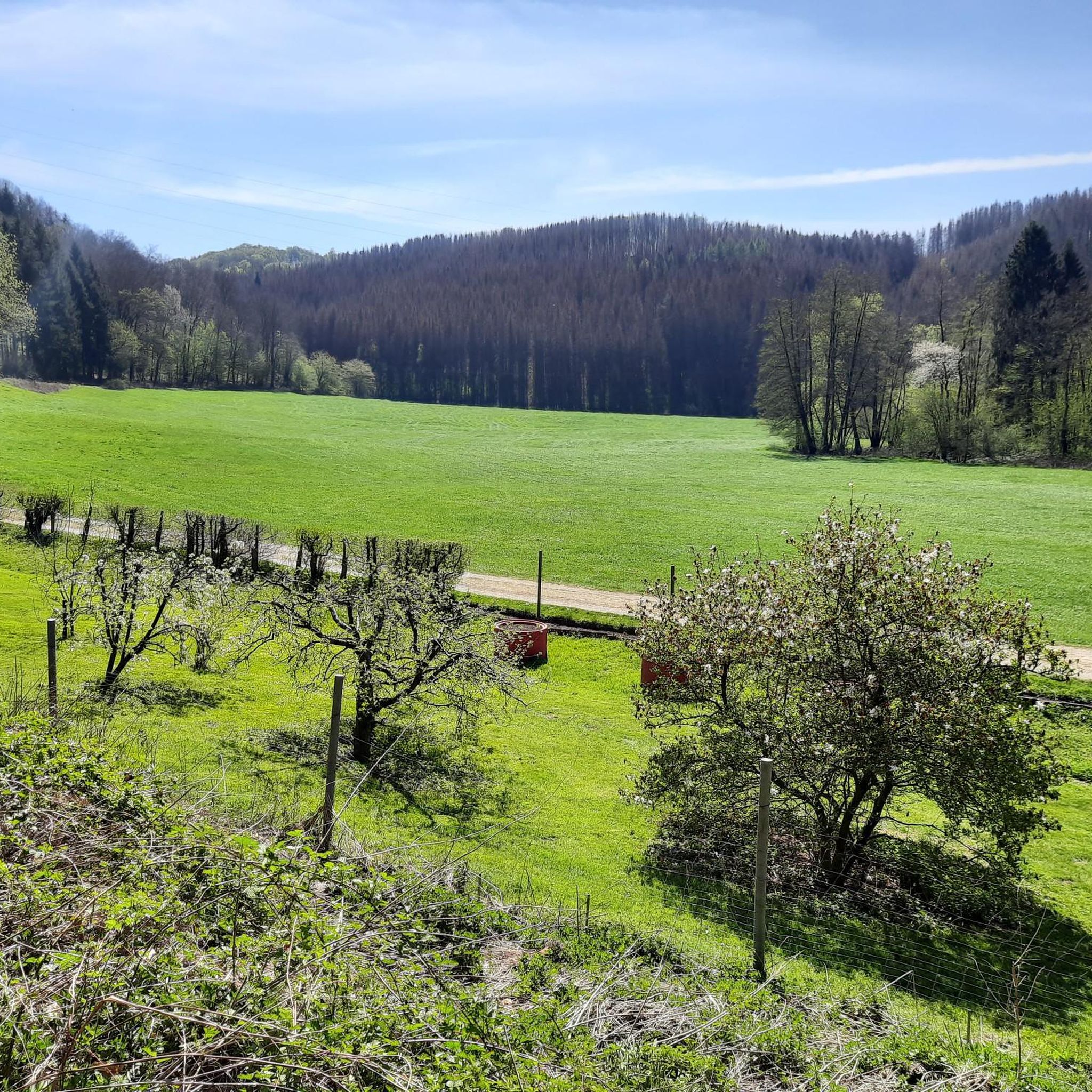
Cycling in Dhünntal Und Linnefetal Mit Seitentälern
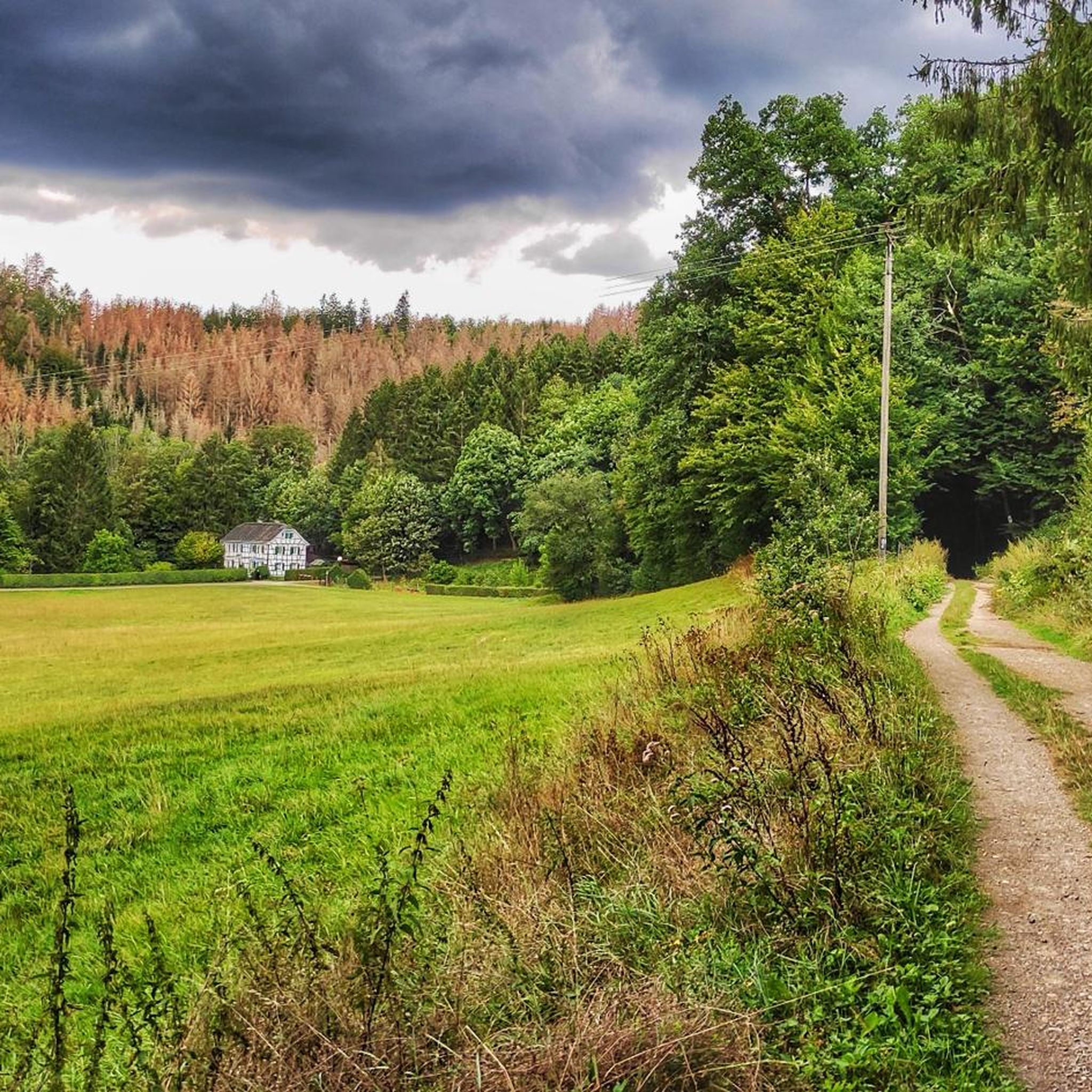
Road Cycling Routes in Dhünntal Und Linnefetal Mit Seitentälern
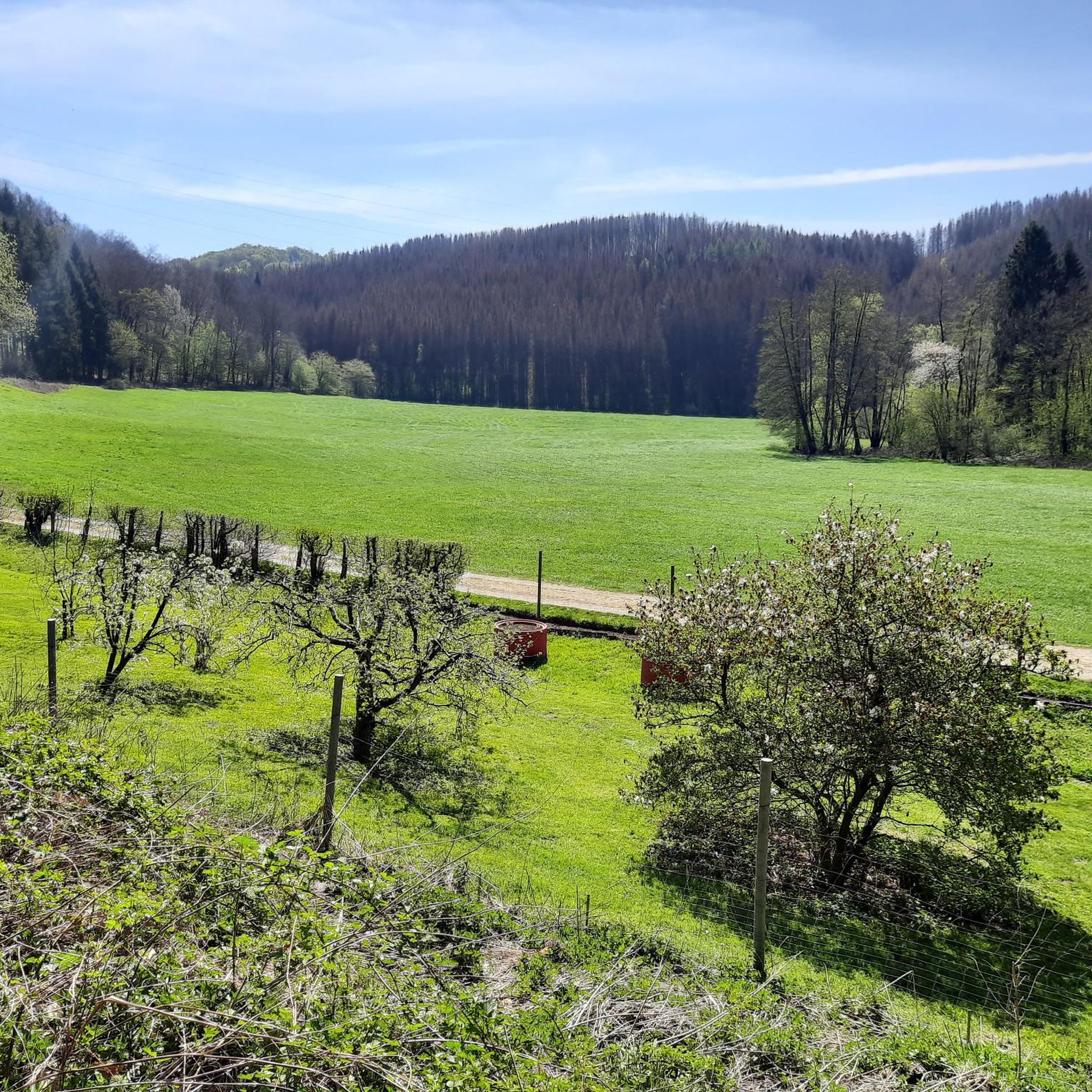
Running Trails in Dhünntal Und Linnefetal Mit Seitentälern
Gravel biking in Dhünntal Und Linnefetal Mit Seitentälern
Mountain Hikes in Dhünntal Und Linnefetal Mit Seitentälern
Tips from the Community

It's especially pleasantly shaded here in summer 🥵
0
0

You have to be sure-footed 💪🏻
0
0


It is a beautiful trail, a forest just like in a fairy tale. Part of the trail is also beautiful for children, with games, swings and a museum. Behind the museum there is a forest called the fairy forest. I recommend the trail in autumn and a visit in winter when they have the Christmas market.
1
0

The path along the Dhünn is a great alternative to the parallel path suggested by the Komoot app. This way you can avoid the cyclists!
0
0

A good 6 km long trail along the Linnefe stream which ends below Grunewald. Always nice, slightly uphill with a few root passages in between.
2
0

The Dhünn Dam is located in the northeast of Cologne
5
0

The path is rocky and sometimes quite muddy, but the views compensate for everything
2
0
Frequently Asked Questions
How many mountain bike trails are there in Dhünntal Und Linnefetal Mit Seitentälern?
The region offers a wide selection of mountain bike trails, with over 330 routes available. These include approximately 100 easy trails, nearly 200 moderate routes, and around 40 more challenging options, catering to various skill levels.
What kind of terrain can I expect on the mountain bike trails?
You can expect diverse terrain, including near-natural stream valley systems, extensive riparian forests, and varied habitats. Many routes feature narrow, sometimes rooted paths along the water, as well as long and fast singletrack sections. You'll also encounter wet grasslands, quiet forests, and some distinctive rock formations.
Are there any notable landmarks or viewpoints along the mountain bike trails?
Yes, the Dhünn River is a prominent feature, and the Stone Archway on the Dhünnradweg offers a scenic point of interest. The rapids and ruins of the former gunpowder mill on the Dhünn also provide a historical stop. The Dhünntalsperre (Dhünn Dam) is a significant landmark, with some trails crossing its wall, offering impressive views.
Are there family-friendly mountain bike routes available?
Yes, the region has approximately 100 easy mountain bike trails suitable for families. An example is the Eifgenbach Crossing – Bridge over the Eifgenbach loop from Straßerhof, which is 3.4 miles (5.5 km) long and leads through the scenic Eifgenbach valley.
Can I bring my dog on the mountain bike trails?
While the region's natural setting is generally welcoming, it's always best to keep dogs on a leash, especially in nature reserve areas like the Linnefe Valley, to protect wildlife and ensure a pleasant experience for all trail users. Always check local signage for specific regulations.
What is the best time of year for mountain biking in Dhünntal Und Linnefetal Mit Seitentälern?
The diverse natural landscapes, including forests and stream valleys, make the region enjoyable for mountain biking across multiple seasons. Spring and autumn often offer pleasant temperatures and vibrant scenery. However, due to the presence of wet grasslands and riparian forests, some paths can be rooted and muddy, especially after rain, so be prepared for varying conditions.
How are mountain bike trails in Dhünntal Und Linnefetal Mit Seitentälern rated for difficulty?
Trails are typically rated from easy to moderate, with some more difficult sections. Many routes are described as S2 difficulty, indicating medium technical demands with roots, rocks, and occasional steep sections. You'll find options ranging from gentle loops to more challenging singletrack experiences.
What do other mountain bikers enjoy the most about mountain biking in Dhünntal Und Linnefetal Mit Seitentälern?
The area is highly rated by the komoot community, with an average score of 4.5 stars from over 3000 reviews. Reviewers often praise the beautiful forest landscapes, the musical accompaniment of rushing streams, and the abundance of secluded, trail-maximized routes with many singletrack sections.
Are there any circular mountain bike routes available?
Yes, many routes in the region are designed as loops. For example, the Dhünn River Trail – Dhünn Dam loop from Altenberg is a moderate 15.3 miles (24.6 km) route that offers a comprehensive experience of the area's natural beauty.
Where can I find parking for mountain biking in the region?
Specific parking information is usually available at the start points of individual komoot tours. Many routes begin from villages or designated parking areas near trailheads, such as those around Altenberg or Straßerhof, which serve as common starting points for exploring the Dhünn and Linnefe valleys.
Are there any places to eat or drink near the mountain bike trails?
The region, being part of the Bergisches Land Nature Park, has various villages and towns that offer cafes, restaurants, and pubs. While specific establishments are not listed here, you can often find options in places like Altenberg or nearby communities to refuel after your ride.
What are the typical elevations and distances for mountain bike routes?
Routes vary significantly. For instance, an easy route like the Schöllerhof loop from Altenberg covers about 4.4 miles (7.1 km) with around 178 meters of elevation gain. More extensive moderate routes, such as the Altenberg Cathedral – Dhünn Dam loop from Altenberg, can be around 12.4 miles (20.0 km) long with nearly 390 meters of elevation gain.
Most popular routes in Dhünntal Und Linnefetal Mit Seitentälern
Most popular attractions in Dhünntal Und Linnefetal Mit Seitentälern

Get inspired with the komoot mobile app


Explore more
Browse the best MTB trails in other regions.
