Nsg Rothaarkamm Und Wiesentaeler
Nsg Rothaarkamm Und Wiesentaeler
The best cycling routes in Nsg Rothaarkamm Und Wiesentaeler
4.6
(2813)
13,545
riders
411
rides
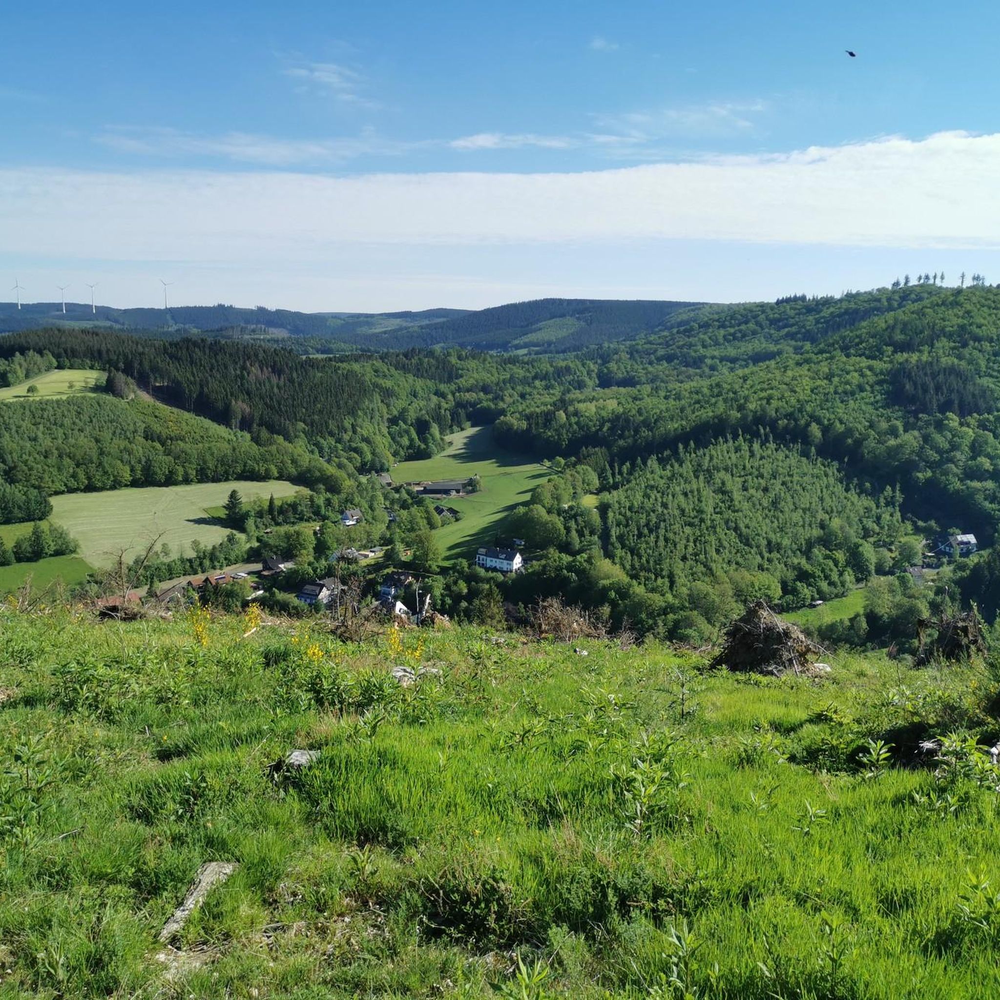
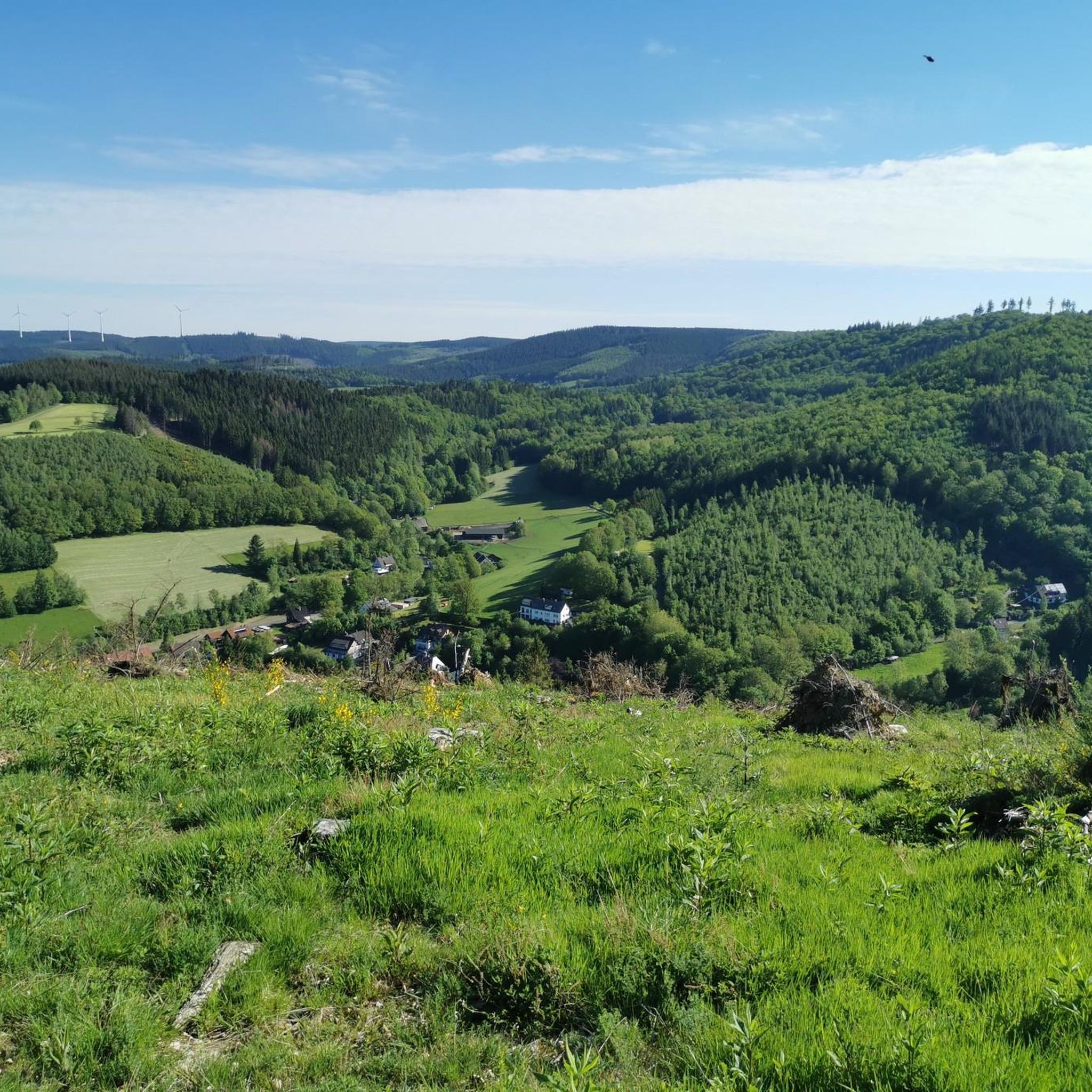
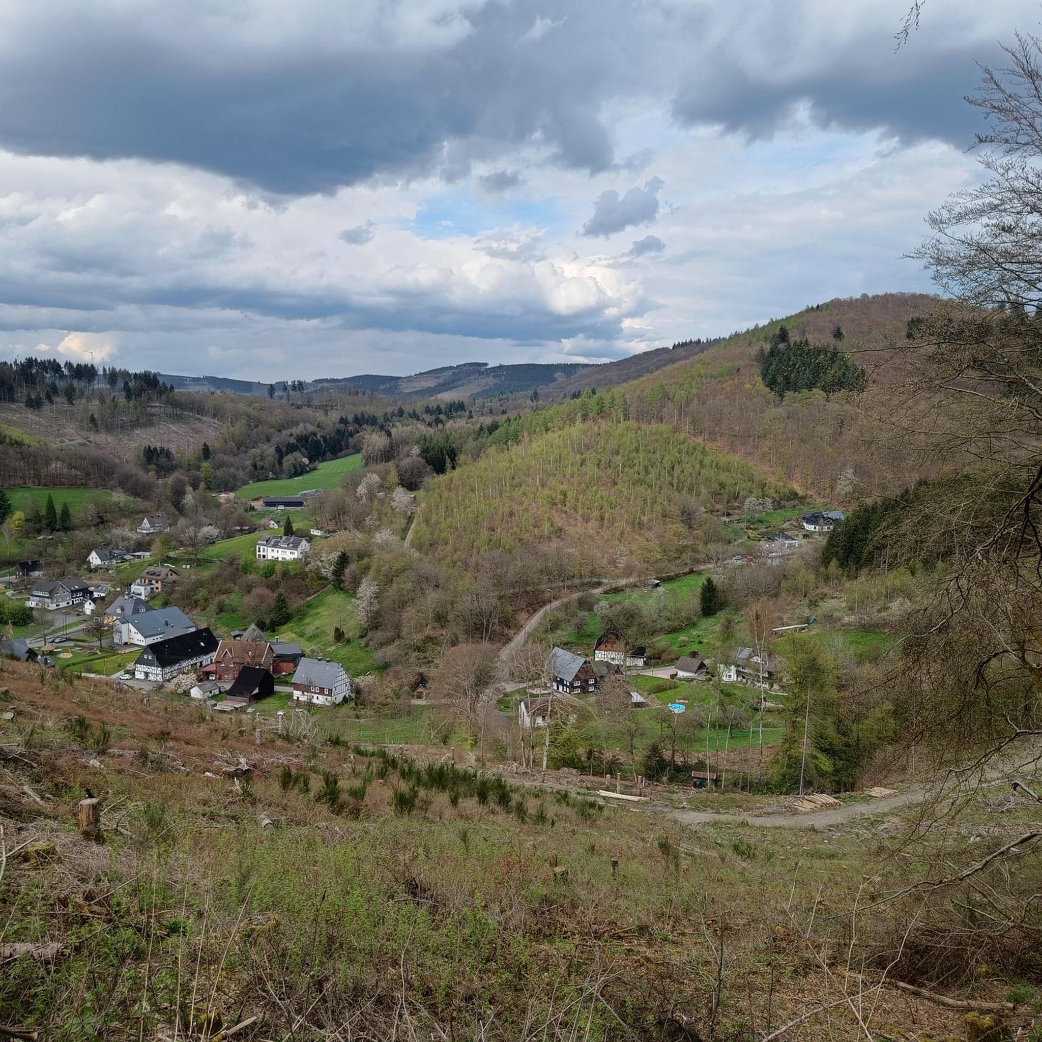
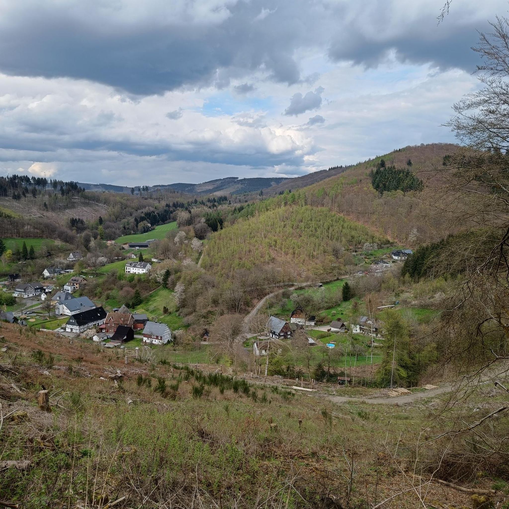
Touring cycling in Nsg Rothaarkamm Und Wiesentaeler offers routes through a landscape characterized by forested ridges, open meadow valleys, and water features. The region's terrain includes moderate ascents and descents, typical of a natural park setting. These routes provide opportunities to explore the varied natural environment of the Rothaarkamm area.
Best touring cycling routes in Nsg Rothaarkamm Und Wiesentaeler
- The most popular touring cycling route is View of Siegen – Dreisbachtal loop from Vormwald Dorf, a 29.0 miles (46.6 km) trail that takes 2 hours 59 minutes to complete. This moderate route offers panoramic views and follows the contours of the Siegen region.
- Another top favourite among local touring cyclists is Breitenbach Reservoir – Breitenbach Reservoir loop from Vormwald Dorf, a moderate 10.3 miles (16.7 km) path. This route circles the Breitenbach Reservoir, providing views of the water and surrounding woodlands.
- Local touring cyclists also love the Hohenroth Forester's House – Obernau Dam loop from Vormwald Dorf, a 25.7 miles (41.4 km) trail leading through forested areas and past the Obernau Dam, often completed in about 2 hours 45 minutes.
- Touring cycling in Nsg Rothaarkamm Und Wiesentaeler is defined by forested ridges, tranquil meadow valleys, and reservoir views. The network offers options for easy, moderate, and difficult routes, catering to various skill levels.
- The routes in Nsg Rothaarkamm Und Wiesentaeler are highly rated by the komoot community with an average score of 4.6 stars from over 2,700 reviews. More than 13,500 touring cyclists have used komoot to explore Nsg Rothaarkamm Und Wiesentaeler's varied terrain.
Last updated: May 24, 2026
4.6
(124)
356
riders
40.8km
02:34
340m
340m
Moderate bike ride. Good fitness required. Mostly paved surfaces. Suitable for all skill levels.
4.5
(21)
113
riders
Moderate bike ride. Good fitness required. Mostly paved surfaces. Suitable for all skill levels.

Sign up for free
4.9
(16)
94
riders
41.4km
02:46
570m
570m
Hard bike ride. Very good fitness required. Mostly paved surfaces. Suitable for all skill levels.
4.7
(17)
81
riders
25.9km
01:40
300m
300m
Moderate bike ride. Good fitness required. Mostly paved surfaces. Suitable for all skill levels.
4.7
(7)
60
riders
33.3km
02:11
400m
400m
Moderate bike ride. Good fitness required. Mostly paved surfaces. Suitable for all skill levels.
Get access to more routes and recommendations from other explorers.
Sign up for free
Already have an account?
Our route recommendations are based on thousands of hikes, rides, and runs completed by other people on komoot.
Start today with a free account
Your next adventure awaits.
Login or Signup

Tips from the Community

It's easy to drive and much safer than driving on the main road.
0
0

Top-quality paved cycle path in Hilchenbach.
1
0

On one side Oelgi, on the other side Netphen. The short climb is worth it.
1
0
When you stand up here it is simply beautiful, enjoy this view 😍
2
0
From the heights there is a great view of Oelgershausen and Netphen.
0
0

This ride on a wonderfully tarred cycle path. And above you a wonderful canopy of leaves...
4
0
Frequently Asked Questions
How many touring cycling routes are available in Nsg Rothaarkamm Und Wiesentaeler?
There are over 400 touring cycling routes in Nsg Rothaarkamm Und Wiesentaeler, offering a wide range of options for different skill levels and preferences.
Are there easy touring cycling routes suitable for beginners or families?
Yes, Nsg Rothaarkamm Und Wiesentaeler features 68 easy touring cycling routes. A good option for a more relaxed ride is the Breitenbach Reservoir – Breitenbach Reservoir loop from Vormwald Dorf, which is a moderate 10.3 miles (16.7 km) path offering views of the water and surrounding woodlands.
What kind of terrain can I expect on touring cycling routes in Nsg Rothaarkamm Und Wiesentaeler?
The region is characterized by forested ridges, tranquil meadow valleys, and water features like reservoirs. You can expect moderate ascents and descents, typical of a natural park setting, with routes often following the contours of the landscape.
Are there challenging touring cycling routes for experienced riders?
Yes, there are 167 difficult touring cycling routes in the area. For a more demanding ride, consider the Hohenroth Forester's House – Obernau Dam loop from Vormwald Dorf, a 25.7 miles (41.4 km) trail with significant elevation changes through forested areas and past the Obernau Dam.
What do other touring cyclists enjoy most about the routes in Nsg Rothaarkamm Und Wiesentaeler?
The routes in Nsg Rothaarkamm Und Wiesentaeler are highly rated by the komoot community, with an average score of 4.6 stars from over 2,700 reviews. Cyclists often praise the varied natural environment, the panoramic views, and the well-maintained paths that allow for exploration of the Rothaarkamm area.
Are there any circular touring cycling routes in the region?
Many routes in Nsg Rothaarkamm Und Wiesentaeler are designed as loops. An example is the popular View of Siegen – Dreisbachtal loop from Vormwald Dorf, a 29.0 miles (46.6 km) trail that offers panoramic views of the Siegen region.
What are some scenic viewpoints or attractions I can see along the touring cycling routes?
Along the routes, you can discover several points of interest. Notable attractions include the historic Ginsburg keep, the tranquil Charcoal burner's hut near Ginsburg, and the impressive Crown Prince’s Oak. Many routes also offer views of the region's reservoirs and forested landscapes.
When is the best time of year for touring cycling in Nsg Rothaarkamm Und Wiesentaeler?
The best time for touring cycling in Nsg Rothaarkamm Und Wiesentaeler is typically from spring through autumn, when the weather is mild and the natural scenery is at its most vibrant. The forested areas provide pleasant shade during warmer months, and the open meadows are beautiful in spring and early autumn.
Are there any touring cycling routes that pass by cafes or refreshment stops?
While specific cafes are not listed for every route, many routes, especially those starting or passing through villages, will have opportunities for refreshment. For example, the Restaurant Zum Alten Bahnhof – Dreisbachtal loop from Vormwald Dorf suggests a starting point near a restaurant, indicating potential stops along the way or at the beginning/end of your ride.
Can you recommend a less-trafficked or 'hidden gem' touring cycling route?
For a route that might offer a quieter experience, consider the Dreisbachtal – View of Ölgershausen loop from Vormwald Dorf. This moderate 33.3 km route takes you through the scenic Dreisbachtal with views towards Ölgershausen, providing a peaceful journey through the region's natural beauty.
What should I bring for a touring cycling trip in Nsg Rothaarkamm Und Wiesentaeler?
Given the varied terrain and potential for moderate ascents, it's advisable to bring appropriate cycling gear, including a helmet, water, snacks, and basic repair tools. Layered clothing is recommended to adapt to changing weather conditions, especially when cycling through forested areas and open valleys.
Most popular routes in Nsg Rothaarkamm Und Wiesentaeler
Most popular attractions in Nsg Rothaarkamm Und Wiesentaeler

Get inspired with the komoot mobile app


Explore more
Browse the best Cycling routes in other regions.
