The best walks and hikes in Aggeraue Zwischen Lohmar Und Siegburg
4.5
(29368)
120,168
hikers
1,999
hikes
Hiking trails in Aggeraue Zwischen Lohmar Und Siegburg traverse a diverse natural landscape shaped by the Agger river. This area features extensive floodplains, nutrient-rich meadows, and alluvial hardwood forests, forming a significant nature reserve. The terrain includes both open heath landscapes, reminiscent of the Wahner Heide, and varied riverine habitats. Elevations are generally gentle, with hills rather than peaks, making it accessible for various hiking experiences.
Best hiking trails in Aggeraue Zwischen Lohmar Und Siegburg
- The most popular hiking route…
Last updated: May 30, 2026
4.6
(383)
1,337
hikers
8.65km
02:20
120m
120m
Moderate hike. Good fitness required. Easily-accessible paths. Suitable for all skill levels.
4.8
(178)
606
hikers
4.39km
01:11
50m
50m
Easy hike. Great for any fitness level. Easily-accessible paths. Suitable for all skill levels.

Sign up for free
4.4
(53)
226
hikers
Hard hike. Very good fitness required. Easily-accessible paths. Suitable for all skill levels.
4.7
(53)
208
hikers
Moderate hike. Good fitness required. Easily-accessible paths. Suitable for all skill levels.
4.5
(26)
134
hikers
9.05km
02:23
80m
80m
Moderate hike. Good fitness required. Easily-accessible paths. Suitable for all skill levels.
Get access to more routes and recommendations from other explorers.
Sign up for free
Already have an account?
Our route recommendations are based on thousands of hikes, rides, and runs completed by other people on komoot.
Start today with a free account
Your next adventure awaits.
Login or Signup
Popular around Aggeraue Zwischen Lohmar Und Siegburg
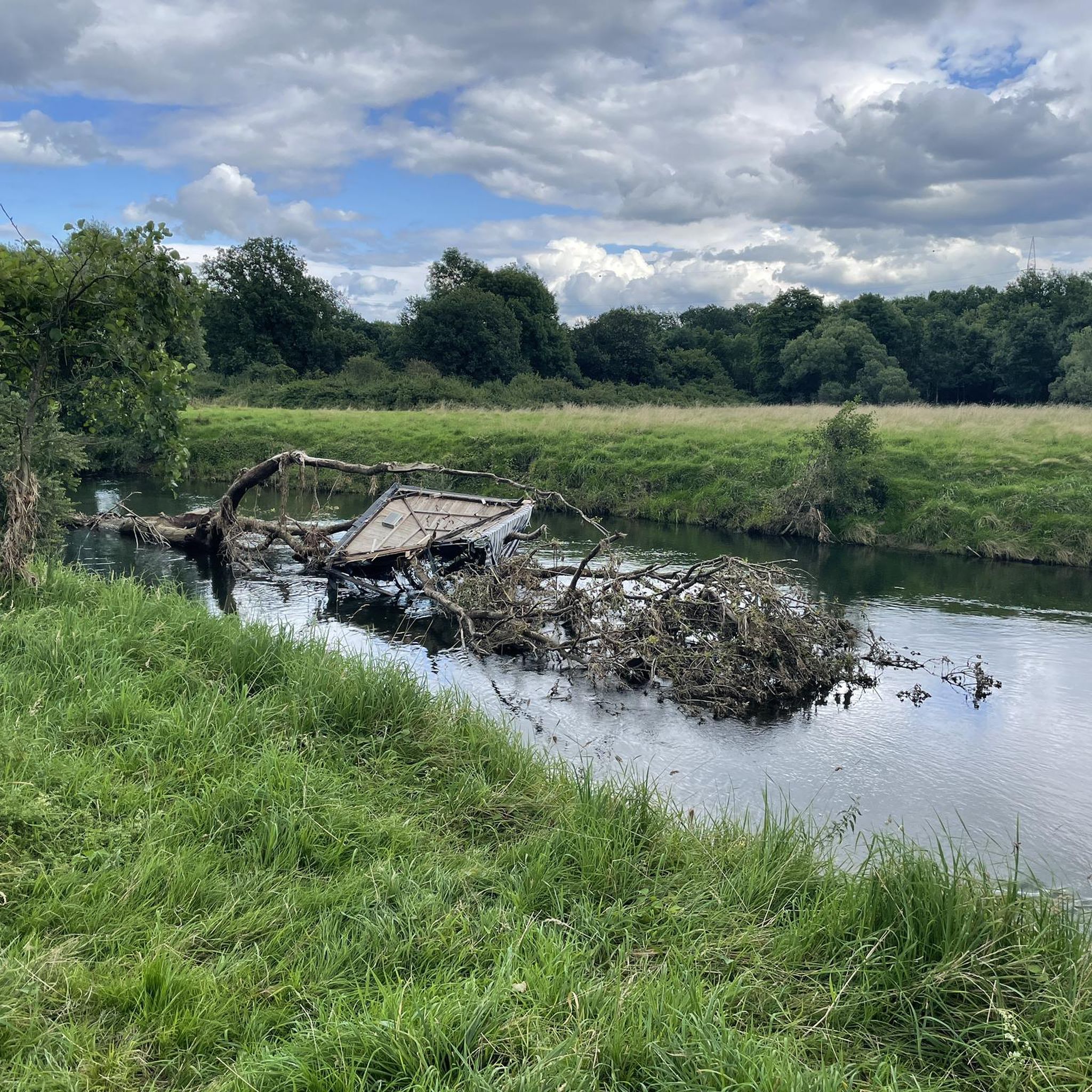
Cycling in Aggeraue Zwischen Lohmar Und Siegburg
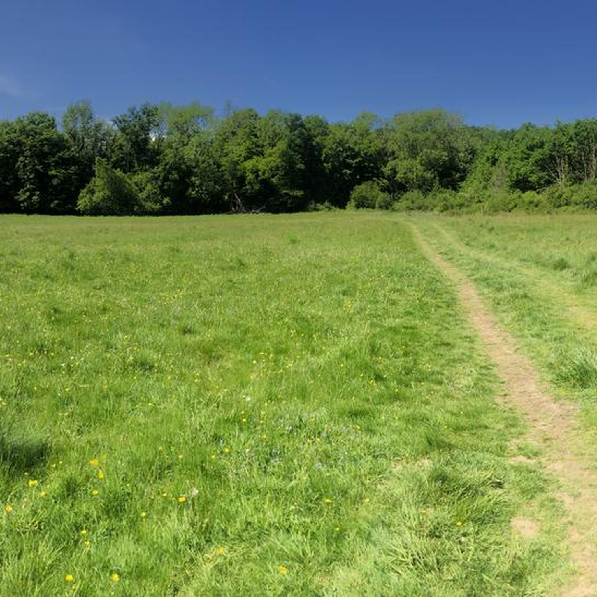
Running Trails in Aggeraue Zwischen Lohmar Und Siegburg
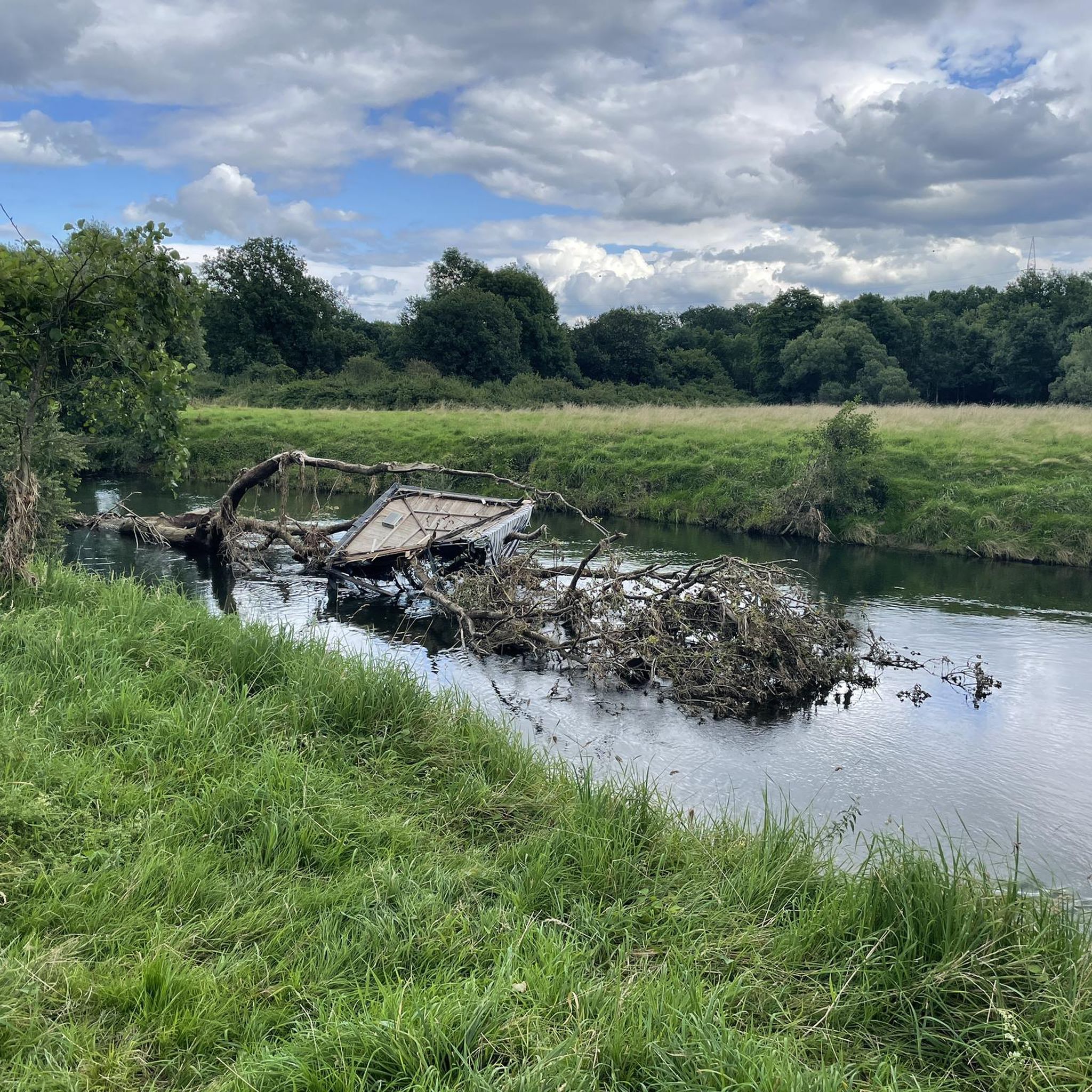
MTB Trails in Aggeraue Zwischen Lohmar Und Siegburg
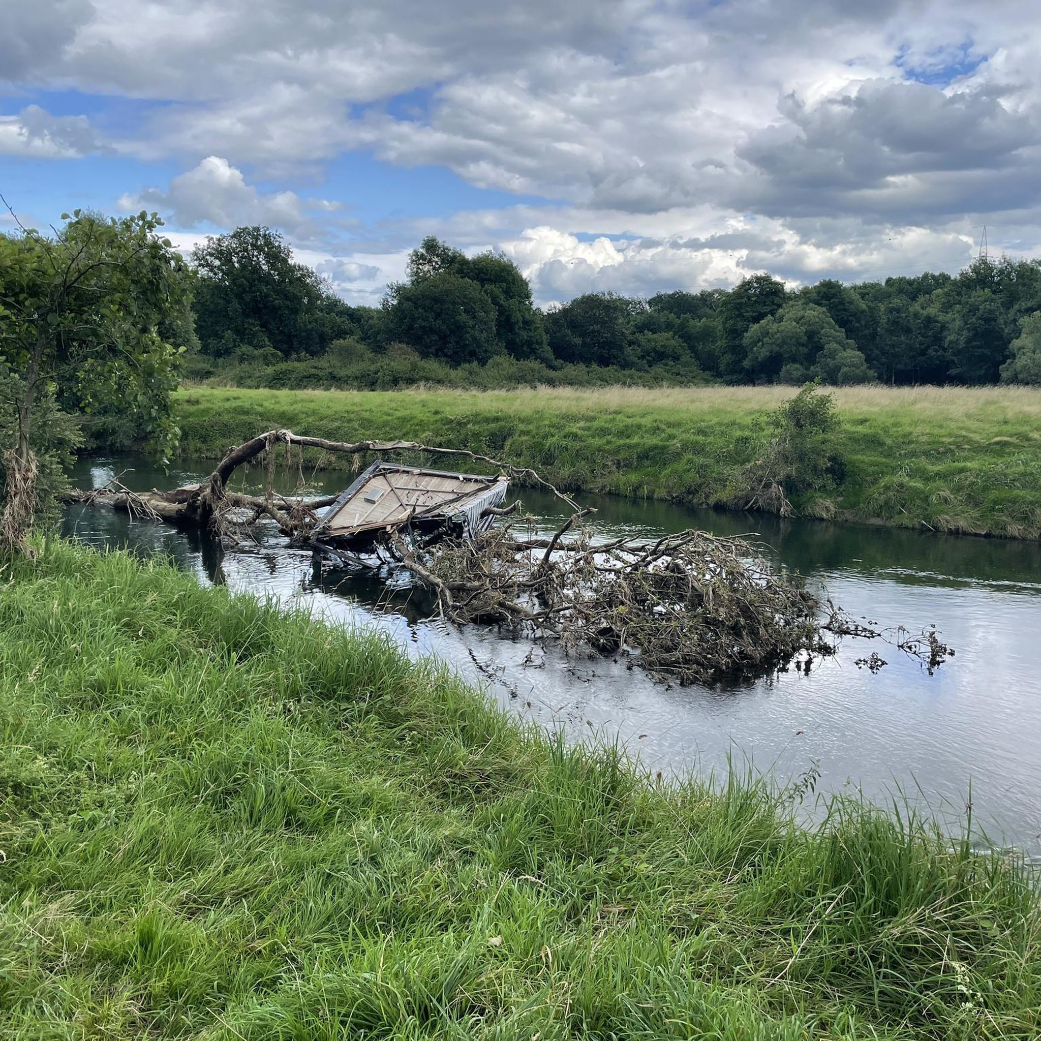
Road Cycling Routes in Aggeraue Zwischen Lohmar Und Siegburg
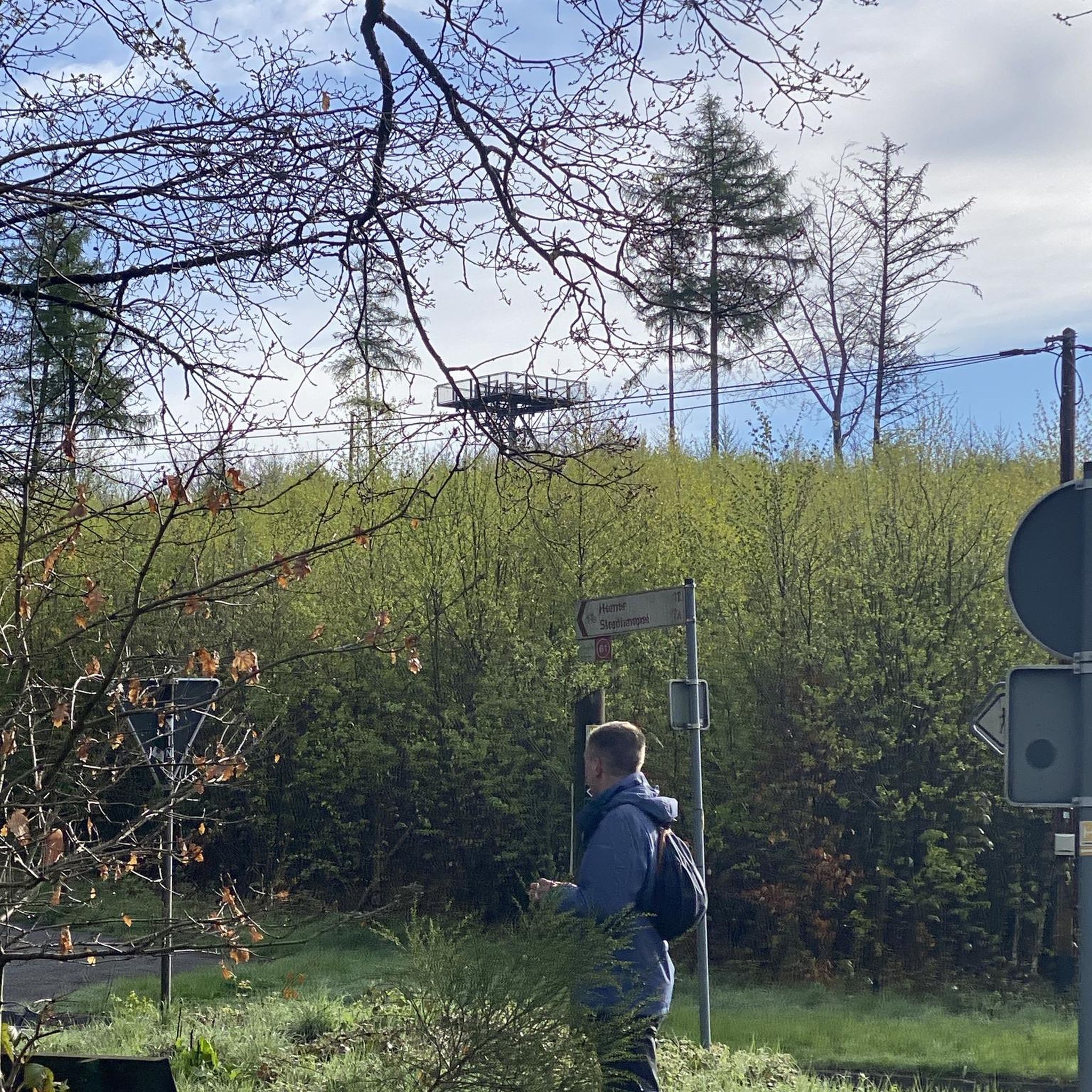
Gravel biking in Aggeraue Zwischen Lohmar Und Siegburg
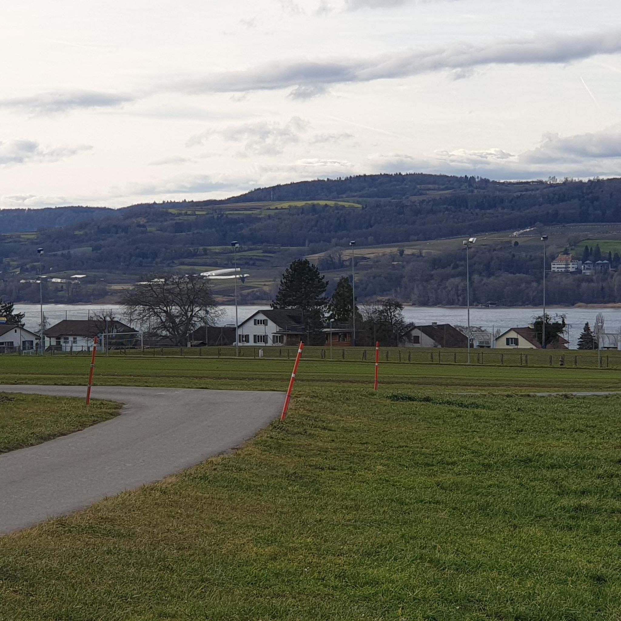
Mountain Hikes in Aggeraue Zwischen Lohmar Und Siegburg
Tips from the Community

a former training ground of the Belgian Forces and now the German Armed Forces
0
0

Fliegenberg is a prominent hill in the Wahner Heide nature reserve, offering a beautiful vantage point. From here, you can see large parts of the Wahner Heide – with its open heathland, pine forests, and rolling hills. The view is particularly impressive in late summer when the heather is in bloom, showcasing the colorful diversity of the landscape.
0
0

Wiemers Loch is located in the Fliegenberg area. It is a deep, ravine-like erosion gully in the quartz sandstone, formed by surface runoff. The name originates from a local legend. According to this legend, a notorious robber named Wiemer used the ravine as a hideout. The story goes that Wiemer supposedly ambushed travelers on the old Aggerstraße road from here. The area is part of a marked circular hiking trail, the Fliegenberg Tour.
0
0
A sunken lane is a path that, through centuries of use by carts and livestock, as well as runoff from rainwater, has cut itself up to 10 meters deep into the surrounding terrain. Here you can clearly see the resulting embankment to the right and left of the path.
0
0
This oxbow lake was formed when the Agger River changed its course, leaving behind calm, often stagnant waters or wetlands. 👍🏼
1
0
This oxbow lake was formed when the Agger River changed its course, leaving behind calm, often stagnant waters or wetlands. 👍🏼
0
0
Wiemers Loch refers to a special area or small depression in the heath, often visited by hikers and nature lovers. The heath trail leads through typical heath and woodland landscapes and offers beautiful views, especially when the heather is in bloom (usually in late summer).
0
0

Frequently Asked Questions
How many hiking trails are available in Aggeraue Zwischen Lohmar Und Siegburg?
There are over 2,000 hiking routes recorded in Aggeraue Zwischen Lohmar Und Siegburg on komoot, offering a wide variety of options for all skill levels. You'll find everything from easy strolls to more challenging hikes through diverse landscapes.
What kind of terrain can I expect on the hiking trails?
The terrain in Aggeraue Zwischen Lohmar Und Siegburg is primarily shaped by the Agger river, featuring extensive floodplains, nutrient-rich meadows, and alluvial hardwood forests. You'll encounter gentle elevations, rather than steep peaks, making it accessible. Some areas also exhibit characteristics of the Wahner Heide, with open, sandy heath landscapes.
Are there any easy hiking trails suitable for beginners or a relaxed walk?
Yes, there are many easy trails. For a gentle outdoor experience, consider the Rest area on the shore – Leyen pond loop from Troisdorf. This 2.7-mile (4.4 km) path offers pleasant views along the shore of Leyen pond.
Are there any challenging routes for experienced hikers?
For those seeking a more demanding hike, the area offers options like the Stallberger Ponds – Bridge Over the Ummingsbach loop from Troisdorf. This route spans 13.2 miles (21.2 km) and leads through varied natural scenery, typically taking over 5 hours to complete.
What natural features or wildlife can I observe while hiking?
The Aggeraue is a nature reserve of European importance, part of the Natura 2000 network. You can observe a rich biodiversity, including endangered bird species like nightingales, orioles, dippers, kingfishers, and little ringed plovers. The riverine landscape features gravel banks, oxbow lakes, and flood channels, supporting unique plant life. Keep an eye out for rare raptors, dragonflies, beetles, and even larger mammals like deer.
Are there any historical landmarks or points of interest along the trails?
Yes, the region has several historical points of interest. You can explore the remains of Lohmar Castle, a 14th-century water castle. The area also features the At the Old Water, and the Confluence of Sülz and Agger, which is a significant natural monument.
Are there any circular hiking routes in Aggeraue Zwischen Lohmar Und Siegburg?
Many routes in the Aggeraue are designed as loops. A popular moderate option is the Heather fields in the Wahner Heide – Leyen pond loop from Troisdorf, which is 5.4 miles (8.7 km) long and explores distinctive heath landscapes.
What do other hikers enjoy most about the trails in this region?
The hiking trails in Aggeraue Zwischen Lohmar Und Siegburg are highly rated by the komoot community, with an average score of 4.5 stars from over 27,900 reviews. Hikers often praise the diverse natural scenery, the tranquility of the riverine landscapes, and the well-maintained paths that cater to various fitness levels.
Are the trails in Aggeraue Zwischen Lohmar Und Siegburg suitable for families with children?
Yes, many trails are suitable for families. The generally gentle elevations and diverse landscapes offer engaging experiences for children. Easy routes, such as those around Leyen pond, are particularly well-suited for family outings.
Can I bring my dog on the hiking trails?
Generally, dogs are welcome on the hiking trails in Aggeraue Zwischen Lohmar Und Siegburg. As it is a nature reserve, it's important to keep dogs on a leash to protect the local wildlife and ensure a pleasant experience for all visitors. Always follow local signage regarding dog regulations.
Are there any specific trails that highlight the unique forests of the region?
Yes, the region is known for its alluvial hardwood forests. You can experience these unique woodlands on routes like the Auelsbach Retention Basin – Ingerberg Beech Forest Biotope loop from Lohmar, which takes you through a rich forest biotope.
What is the best time of year to go hiking in Aggeraue Zwischen Lohmar Und Siegburg?
The Aggeraue Zwischen Lohmar Und Siegburg offers pleasant hiking experiences throughout the year. Spring brings blooming wildflowers and active birdlife, while autumn showcases vibrant foliage. Summer is ideal for longer days, and even mild winter days can be beautiful for a crisp walk through the quiet landscapes.
Is there parking available near the trailheads?
Yes, parking is generally available at various access points and trailheads throughout the Aggeraue Zwischen Lohmar Und Siegburg, particularly near popular starting points in municipalities like Lohmar and Troisdorf. Specific parking information can often be found on individual route descriptions on komoot.
Most popular routes in Aggeraue Zwischen Lohmar Und Siegburg
Most popular attractions in Aggeraue Zwischen Lohmar Und Siegburg

Get inspired with the komoot mobile app


Explore more
Browse the best Hikes in other regions.
