Tiefenbachtal Bei Simmerath Mit Nebenbächen
Tiefenbachtal Bei Simmerath Mit Nebenbächen
The best mountain hikes in Tiefenbachtal Bei Simmerath Mit Nebenbächen
4.1
(6)
21
hikers
5
hikes
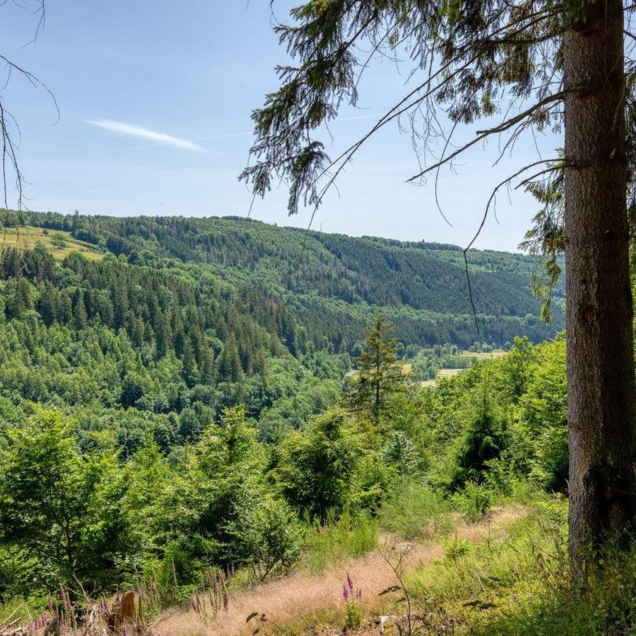
Mountaineering routes in Tiefenbachtal Bei Simmerath Mit Nebenbächen traverse deeply cut valleys and natural mountain forests. The region features varied landscapes, including expansive meadows, dense forests, and the Rur river, offering diverse terrain for strenuous walks. Elevation changes can be significant, with some routes gaining up to 440 meters. The area is characterized by meandering streams, small cascades, and unique geological formations like Mullion-structure rocks, providing a challenging environment for outdoor activities.
Best mountaineering routes in Tiefenbachtal Bei Simmerath Mit…
Last updated: November 1, 2026
1
hikers
Moderate mountaineering route. Good fitness required. Easily walkable paths.
4.5
(2)
4
hikers
15.8km
04:31
370m
370m
Moderate mountaineering route. Good fitness required. Easily walkable paths.

5.0
(2)
11
hikers
Hard mountaineering route. Very good fitness required. Easily walkable paths.
1
hikers
Moderate mountaineering route. Good fitness required. Easily walkable paths.
4.5
(2)
3
hikers
Moderate mountaineering route. Good fitness required. Easily walkable paths.
Our route recommendations are based on thousands of hikes, rides, and runs completed by other people on komoot.
Start today with a free account
Your next adventure awaits.
Popular around Tiefenbachtal Bei Simmerath Mit Nebenbächen
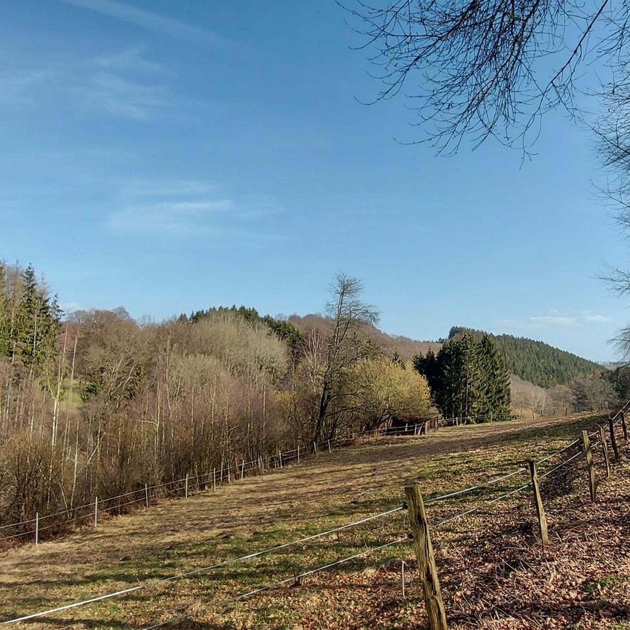
Hiking in Tiefenbachtal Bei Simmerath Mit Nebenbächen
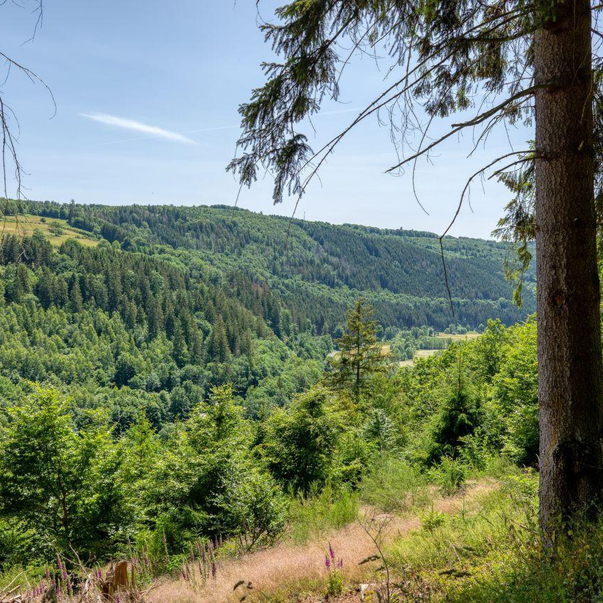
Cycling in Tiefenbachtal Bei Simmerath Mit Nebenbächen
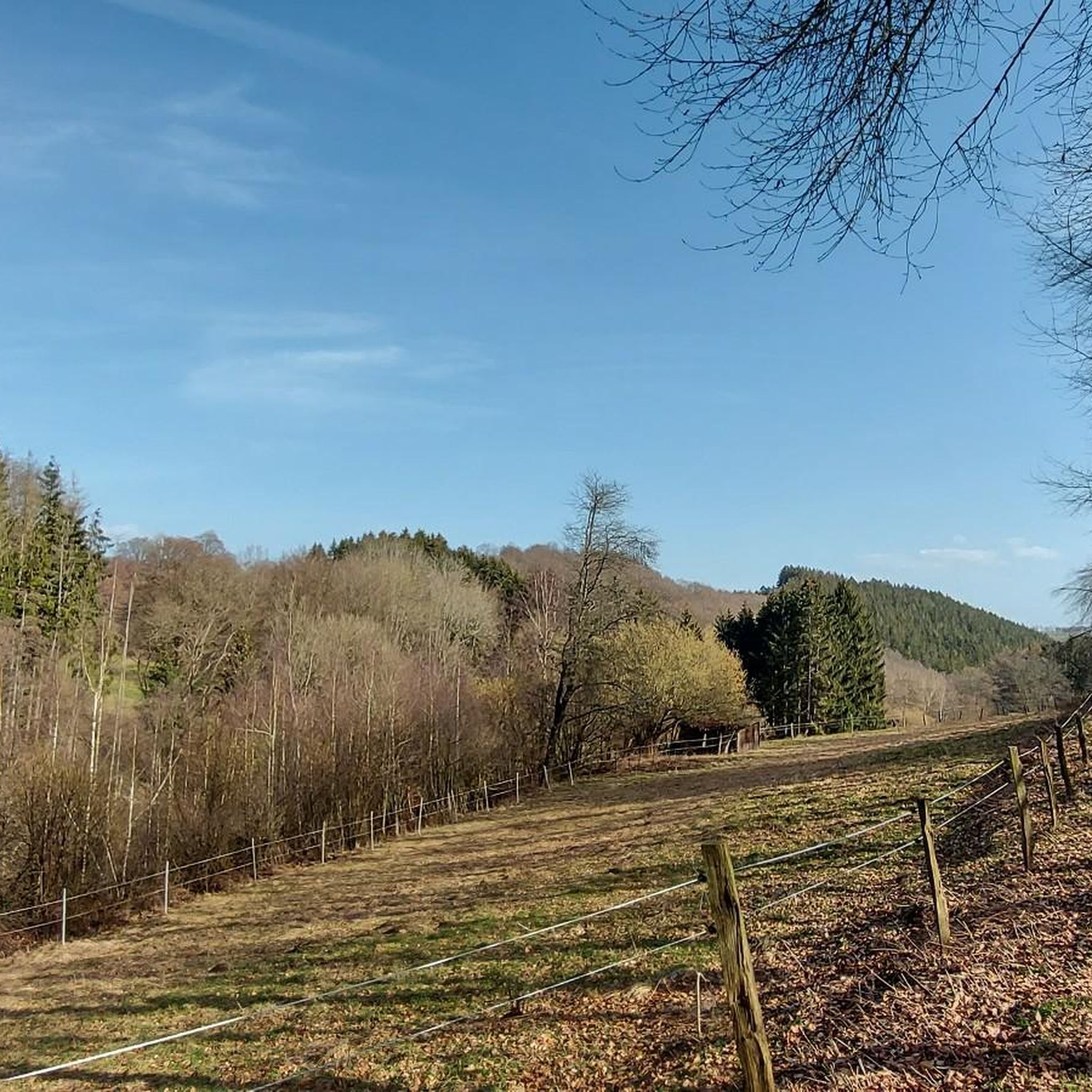
Road Cycling Routes in Tiefenbachtal Bei Simmerath Mit Nebenbächen
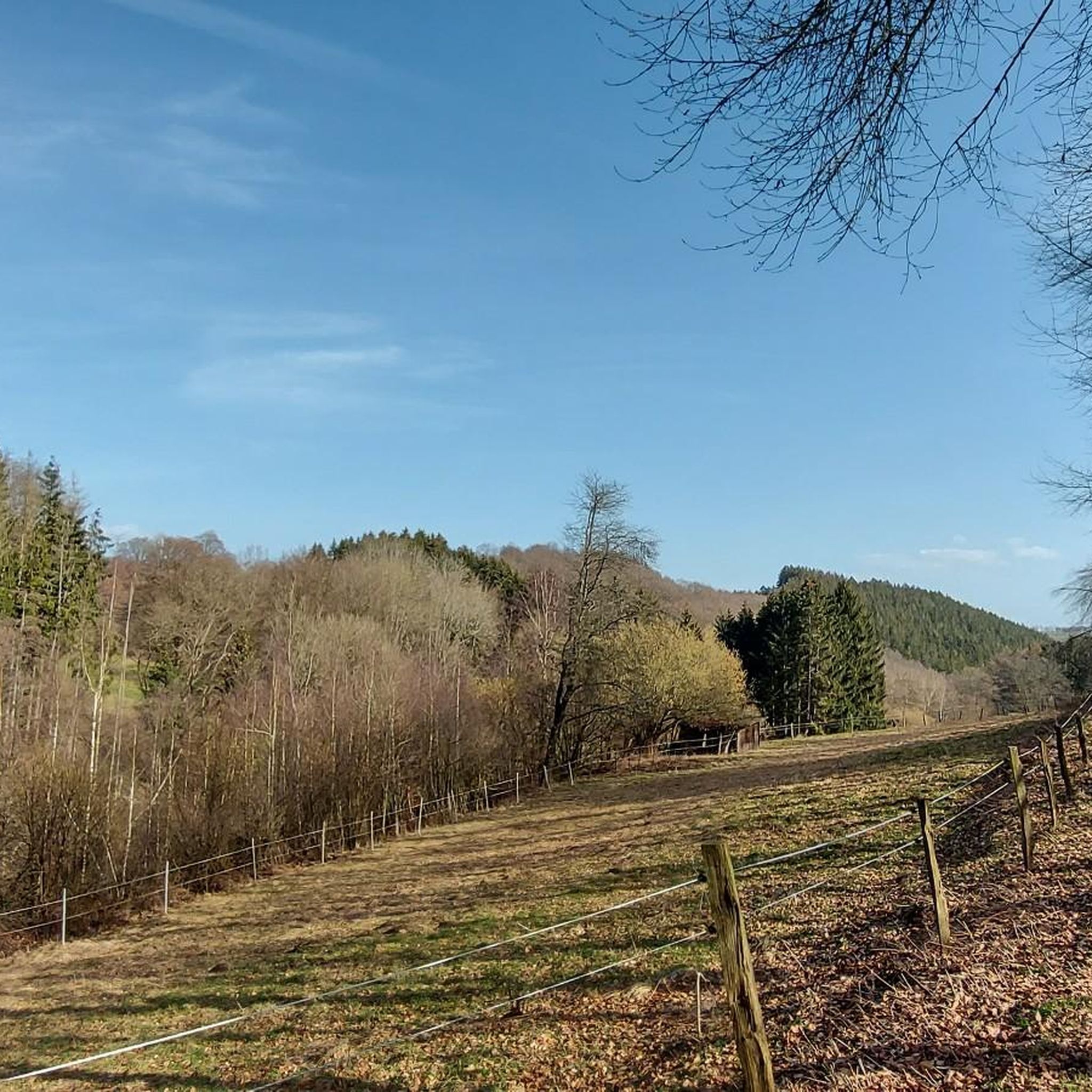
MTB Trails in Tiefenbachtal Bei Simmerath Mit Nebenbächen
Running Trails in Tiefenbachtal Bei Simmerath Mit Nebenbächen

Gravel biking in Tiefenbachtal Bei Simmerath Mit Nebenbächen
Tips from the Community

The iconic Eifelsteig route marker with the distinctive yellow-green 'E' logo is the faithful guide for every hiker between Kornelimünster and Trier. These stylish wooden signposts are recognizable by their blue dots indicating the main route, complete with accurate distance indications and signs with exact UTM coordinates and elevation data. Volunteer trail patrollers continuously check the markings on all 15 stages of the 313-kilometer-long top route. As soon as you see such a sign gleaming along the forest edge, you know you are on the right track towards the most beautiful nature of the Eifel!
0
0

According to local tradition, an old legend explains the origin of the Teufelsley (Devil's Rock). The devil was said to have been enraged because a monastery was to be built in the region. In his anger, he dislodged a massive boulder from the heights to destroy the structure. However, as he approached with the stone, an angel intervened, thwarting the devil's plan and stopping his attack. The rock brought by the devil then remained in its present location and has been called Teufelsley ever since.
46
0

Great view of the lake
0
0

Simply beautiful to linger :)
0
0

Beautiful area, worth a visit. I will definitely come back.
0
0

Beautifully situated rest area at the Hesselbach, which invites us to take a short break.
2
0

Great view of the Eifel and you can usually enjoy it alone...
0
0

Beautiful path with alternating root and boardwalk paths. 👌
4
0
Frequently Asked Questions
How many mountaineering routes are available in Tiefenbachtal Bei Simmerath Mit Nebenbächen?
There are 5 mountaineering routes in Tiefenbachtal Bei Simmerath Mit Nebenbächen, ranging from moderate to difficult. These routes traverse deeply cut valleys and natural mountain forests, offering varied terrain for strenuous walks.
What kind of terrain can I expect on mountaineering routes in this region?
The terrain in Tiefenbachtal Bei Simmerath Mit Nebenbächen is characterized by deeply cut valleys, natural mountain forests, and meandering streams. You'll encounter varied landscapes including expansive meadows, dense forests, and the Rur river. Some routes feature unique geological formations like Mullion-structure rocks, small cascades, and potholes. Expect significant elevation changes, with some routes gaining up to 440 meters.
Are there any family-friendly mountaineering options in Tiefenbachtal Bei Simmerath Mit Nebenbächen?
While the routes are generally described as strenuous walks with significant elevation changes, some moderate options might be suitable for families with older children who are accustomed to hiking. For example, the Picnic Area at the Hesselbach – View of Rursee from Kierberg loop from Strauch is a moderate 7.4-mile route that could be a good choice for an active family outing.
Can I bring my dog on the mountaineering trails?
Yes, the Tiefenbachtal Bei Simmerath Mit Nebenbächen area is a nature reserve and part of the European Natura 2000 network. Dogs are generally welcome on trails, but it's crucial to keep them on a leash to protect the local wildlife and natural environment. Always ensure your dog is well-behaved and that you clean up after them.
What are some interesting natural features or landmarks to look out for?
The region is rich in natural and historical sights. You might encounter small waterfalls and clear streams, especially in the Eiserbachtal valley. Keep an eye out for unique Mullion-structure rocks near Dedenborn. Highlights include the Tiefenbach Valley itself, the Bat Cave, and the Gnarled Beech Wall. Historically, you can visit the Dedenborn Oil Mill, a 17th-century former oil mill.
Are there any circular mountaineering routes?
Yes, several routes are designed as loops, allowing you to start and end at the same point. For instance, the Teufelsley Rock Formation – Monschau's historic Old Town loop from Monschau is a moderate 9.7-mile circular path offering scenic views. Another option is the Taucherbucht loop from Senkelbachquellen.
What is the best time of year to go mountaineering in Tiefenbachtal Bei Simmerath Mit Nebenbächen?
The region offers beautiful scenery throughout the year. Spring and autumn are particularly pleasant, with mild temperatures and vibrant colors. Spring brings blooming wildflowers, while autumn showcases stunning foliage. Summer is also popular, but trails can be busier. Winter mountaineering is possible, but be prepared for colder temperatures and potentially icy conditions, especially in the deeply cut valleys.
What do other mountaineers enjoy most about the routes here?
The routes in Tiefenbachtal Bei Simmerath Mit Nebenbächen are highly rated by the komoot community, with an average score of 4.2 stars. Reviewers often praise the varied landscapes, the tranquility of the natural mountain forests, and the challenging yet rewarding elevation changes. The presence of meandering streams, small cascades, and historical points of interest also adds to the appeal.
Are there any routes that offer views of the Rursee?
Yes, if you're looking for views of the Rursee, consider the Picnic Area at the Hesselbach – View of Rursee from Kierberg loop from Strauch. This moderate route leads through forested areas and provides scenic vistas of the Rursee.
Is there a particularly challenging route for experienced mountaineers?
For those seeking a more difficult challenge, the Eifel Glassblowing Workshop – The Rur River in Monschau loop from Monschau is a difficult 13.2-mile trail. It features significant elevation gain through varied landscapes and is a popular choice for experienced mountaineers.
Are there any routes that pass through unique natural areas like moor lakes?
Yes, the Boardwalks through the Brackvenn – Brackvenn Moor Lakes loop from Kleines Laufenbachtal offers a unique experience. This moderate route takes you through the Brackvenn, where you can explore moor lakes, providing a different natural environment compared to the valleys and forests.
Are there any historical sites along the trails?
Beyond the Dedenborn Oil Mill, the region has other historical points of interest. The former Mariagrube slate quarry, active from 1847 to the 1920s, is a significant historical site in Simmerath. You might also encounter the Meyssenburg Motte and Earthworks, offering a glimpse into the region's past.
Most popular routes in Tiefenbachtal Bei Simmerath Mit Nebenbächen
Most popular attractions in Tiefenbachtal Bei Simmerath Mit Nebenbächen

Get inspired with the komoot mobile app


Explore more
Browse the best Mountain Hikes & Routes in other regions.
