The best running trails in Parc Paysager Du Ry-Ponet
4.3
(722)
35,211
runners
10
runs
Jogging in Parc Paysager Du Ry-Ponet offers access to a diverse landscape spanning over 300 hectares, characterized by fields, heathland, and woods. Situated on the heights of Liège, the area provides varied terrain for running, including paths that traverse former mining sites and offer views over the Vesdre valley. The park's network of trails incorporates elements of the Pays de Herve, Condroz, and Hesbaye regions, with two valleys separated by a ridge that transforms into a plateau. This natural setting…
Last updated: July 5, 2026
1.0
(1)
46
runners
8.64km
00:54
50m
50m
Moderate run. Good fitness required. Mostly paved surfaces. Suitable for all skill levels.
23
runners
12.2km
01:28
270m
270m
Moderate run. Good fitness required. Mostly paved surfaces. Suitable for all skill levels.

Sign up for free
8
runners
7.50km
00:50
120m
130m
Moderate run. Good fitness required. Mostly paved surfaces. Suitable for all skill levels.
5.0
(4)
13
runners
8.17km
00:55
150m
150m
Moderate run. Good fitness required. Mostly paved surfaces. Suitable for all skill levels.
9
runners
13.4km
01:25
150m
150m
Moderate run. Good fitness required. Mostly paved surfaces. Suitable for all skill levels.
Get access to more routes and recommendations from other explorers.
Sign up for free
Already have an account?
Our route recommendations are based on thousands of hikes, rides, and runs completed by other people on komoot.
Start today with a free account
Your next adventure awaits.
Login or Signup

Tips from the Community

The fort of Chaudfontaine is one of the twelve forts built for the defense of Liège, in Belgium, at the end of the 19th century on the initiative of the Belgian general Henri Alexis Brialmont. Built from 1888 to 1892, as a modern concrete infrastructure, equipped with the most modern weapons of the time, the fort of Chaudfontaine is one of the six small forts of the Liège belt. Dominating the Vesdre valley on the right bank at an altitude of 220 m, it is located, with that of Embourg, south of the fort of Fléron and east of that of Boncelles. During the First World War, after two days of resistance, the fort surrendered on August 13, 1914, following the explosion of a German shell in the vault of the ammunition store. The street leading to the fort was renamed "rue du XIII Août" and a military cemetery was established there, as well as a monument in homage to 50 of the 71 victims buried in the necropolis and who perished in the fire of the fort (explosion). In 1933, the fort was renovated, rearmed, and consolidated. A thick layer of reinforced concrete, intended to withstand the heaviest equipment, reinforced the vaults. During the Second World War, during the Battle of France, the fort resisted for a few days, but, shelled by the Luftwaffe from the morning of May 17, 1940, it was abandoned at the end of the day after the explosion of a German grenade inside, then a shell at the entrance. A shooting club called "La Trairie" has been located there since 1983 in the casemates defending the moats. Since the 1990s, the fort of Chaudfontaine, renamed "Fort Adventure", has been occupied and developed by a company that organizes adventure courses there, for adults as well as for children.
1
0

Beautiful view of the Maas valley at Jupille-sur-Meuse with the Jemeppe lock, among others.
0
0
Beautiful natural hiking trail steeply ascending from Jupille to the height with the Houlpays viewpoint
0
0
'You feel at home in any space your eyes thirst for.'
1
0
The Fort has been given a beautiful design for children and families with adventure trails and guided visits in the Fort.
1
0

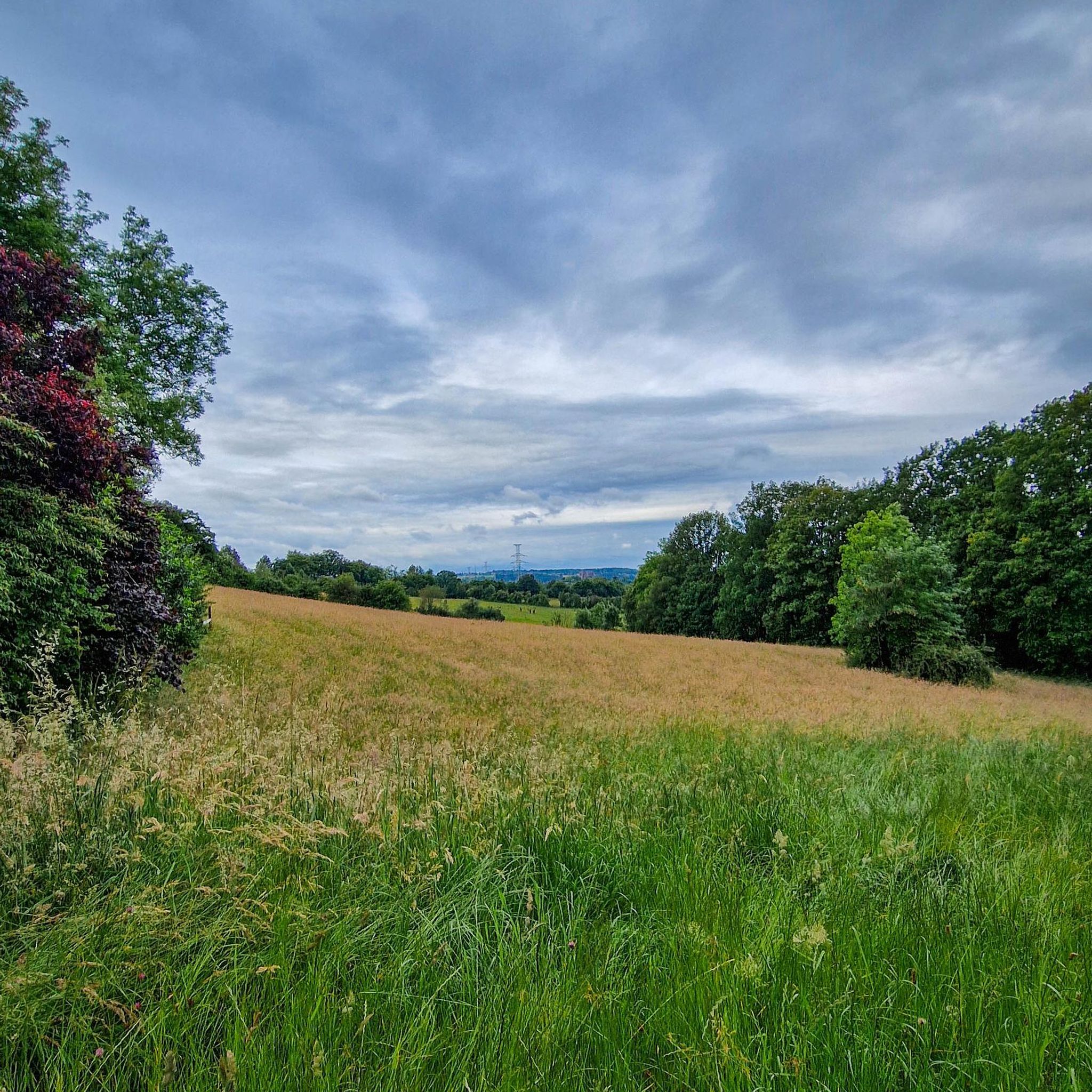
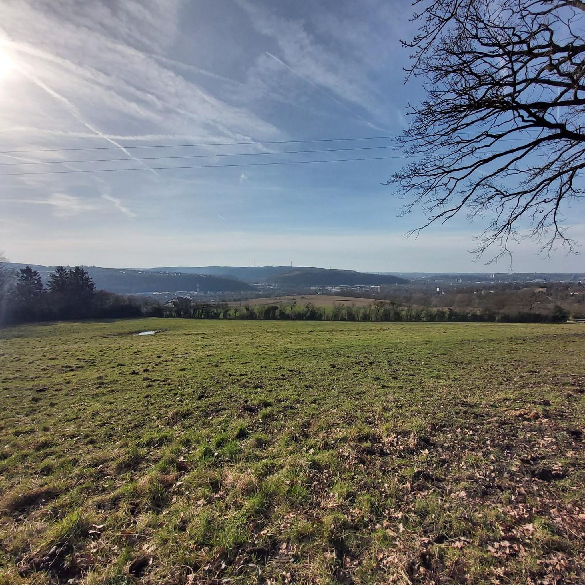
Beautiful view over the valley to Liege
1
0

I am of the same opinion as Pierrot! It's been years since the orientation table, which was very interesting, was damaged! It was burned and now it's covered in graffiti. I reported it to the municipality of Blegny but I think it is located in Liège...
1
0

Very beautiful path, between rows of remarkable trees (oaks, beech, willows).
3
0
Frequently Asked Questions
How many running routes are available in Parc Paysager Du Ry-Ponet?
There are over 800 running routes available in Parc Paysager Du Ry-Ponet, offering a wide variety of distances and terrains for all skill levels. This includes options from easy loops to more challenging trails with significant elevation changes.
What kind of terrain can I expect on the running trails in Parc Paysager Du Ry-Ponet?
The running trails in Parc Paysager Du Ry-Ponet feature a diverse landscape, including woodlands, open fields, and heathland. You'll find varied terrain that traverses former mining sites and incorporates elements of the Pays de Herve, Condroz, and Hesbaye regions, providing a mix of surfaces and gradients.
Are there any easy or beginner-friendly running routes in the park?
Yes, Parc Paysager Du Ry-Ponet offers a good selection of easy routes suitable for beginners. Out of over 800 routes, 66 are classified as easy, providing gentler gradients and shorter distances to help you get started or enjoy a relaxed jog.
What are some notable landmarks or scenic viewpoints I can discover while running?
While running, you can encounter historical elements like the former mining areas. The park also offers sublime views over the Vesdre valley and its confluence with the Ourthe from viewpoints such as Piedroux, stretching towards Chênée. You might also pass by the historic Bois de Beyne.
Are there any circular running routes in Parc Paysager Du Ry-Ponet?
Yes, many of the running routes in Parc Paysager Du Ry-Ponet are circular, allowing you to start and finish at the same point. For example, the Château de Neufcour loop from Beyne-Heusay is a moderate 5.6 km circular route that takes you past historical sites.
Is Parc Paysager Du Ry-Ponet suitable for running with dogs?
Yes, Parc Paysager Du Ry-Ponet is generally dog-friendly, with many trails suitable for running with your canine companion. It's always recommended to keep your dog on a leash, especially in areas with wildlife or near private property, and to respect local regulations.
What do other runners enjoy most about the trails in Parc Paysager Du Ry-Ponet?
The running routes in Parc Paysager Du Ry-Ponet are highly rated by the komoot community, with an average score of 4.3 stars from over 500 reviews. Runners often praise the diverse landscapes, the peaceful natural setting, and the variety of trails that cater to different fitness levels.
Are there any running routes that pass by historical sites?
Yes, the park has a rich historical context as a former mining area. Routes like the Wérister Mining Site loop from Beyne-Heusay, a 6.3 km trail, traverse these historical sites, offering a unique blend of nature and heritage during your run.
What is the best time of year to go running in Parc Paysager Du Ry-Ponet?
Parc Paysager Du Ry-Ponet is suitable for running year-round, but spring and autumn offer particularly pleasant conditions with mild temperatures and beautiful foliage. Summer can be great for early morning or late evening runs, while winter running is possible, though some trails might be muddy or icy depending on the weather.
How can I access Parc Paysager Du Ry-Ponet by public transport for a run?
The park is conveniently located close to Liège and is accessible by public transport. While specific bus lines vary, you can generally reach the communes bordering the park, such as Beyne-Heusay, Liège, Chaudfontaine, and Fléron, which serve as good starting points for exploring the running trails.
Are there any longer, more challenging running routes for experienced runners?
Absolutely. For experienced runners seeking a challenge, the park offers more demanding routes with greater distances and elevation changes. The region research mentions a challenging 21km trail, such as the Denis Pigeon trail, and komoot lists 111 difficult routes, ensuring plenty of options for longer, more strenuous runs.
Where can I find parking when visiting Parc Paysager Du Ry-Ponet for a run?
Parking is generally available in the vicinity of the park's access points, particularly near the communes that border it, such as Beyne-Heusay. Many of the looped itineraries provided by the park's website allow users to choose their preferred starting point, which often correlates with accessible parking areas.
Most popular routes in Parc Paysager Du Ry-Ponet
Most popular attractions in Parc Paysager Du Ry-Ponet

Get inspired with the komoot mobile app


Explore more
Browse the best Running Trails & Routes in other regions.
