The best running trails in Bemelerberg & Schiepersberg
4.4
(870)
36,995
runners
1,325
runs
Jogging in Bemelerberg & Schiepersberg offers varied terrain within a scenic hilly landscape, providing a rewarding experience for runners. The region is characterized by significant elevation changes, transitioning from the Meuse valley to the Margraten plateau. This Natura 2000 area features unique marl landscapes, calcareous grasslands, and slope forests. An extensive network of running routes caters to different preferences and fitness levels.
Best jogging routes in Bemelerberg & Schiepersberg
- The most popular jogging route is Koeberg Quarry – Julianagroeve Quarry…
Last updated: July 4, 2026
4.4
(5)
63
runners
Moderate run. Good fitness required. Mostly paved surfaces. Suitable for all skill levels.
75
runners
Moderate run. Good fitness required. Mostly paved surfaces. Suitable for all skill levels.

Sign up for free
4.0
(4)
54
runners
10.2km
01:04
100m
100m
Moderate run. Good fitness required. Mostly paved surfaces. Suitable for all skill levels.
4.7
(6)
50
runners
Moderate run. Good fitness required. Mostly paved surfaces. Suitable for all skill levels.
48
runners
Hard run. Very good fitness required. Mostly paved surfaces. Suitable for all skill levels.
Get access to more routes and recommendations from other explorers.
Sign up for free
Already have an account?
Our route recommendations are based on thousands of hikes, rides, and runs completed by other people on komoot.
Start today with a free account
Your next adventure awaits.
Login or Signup
Popular around Bemelerberg & Schiepersberg
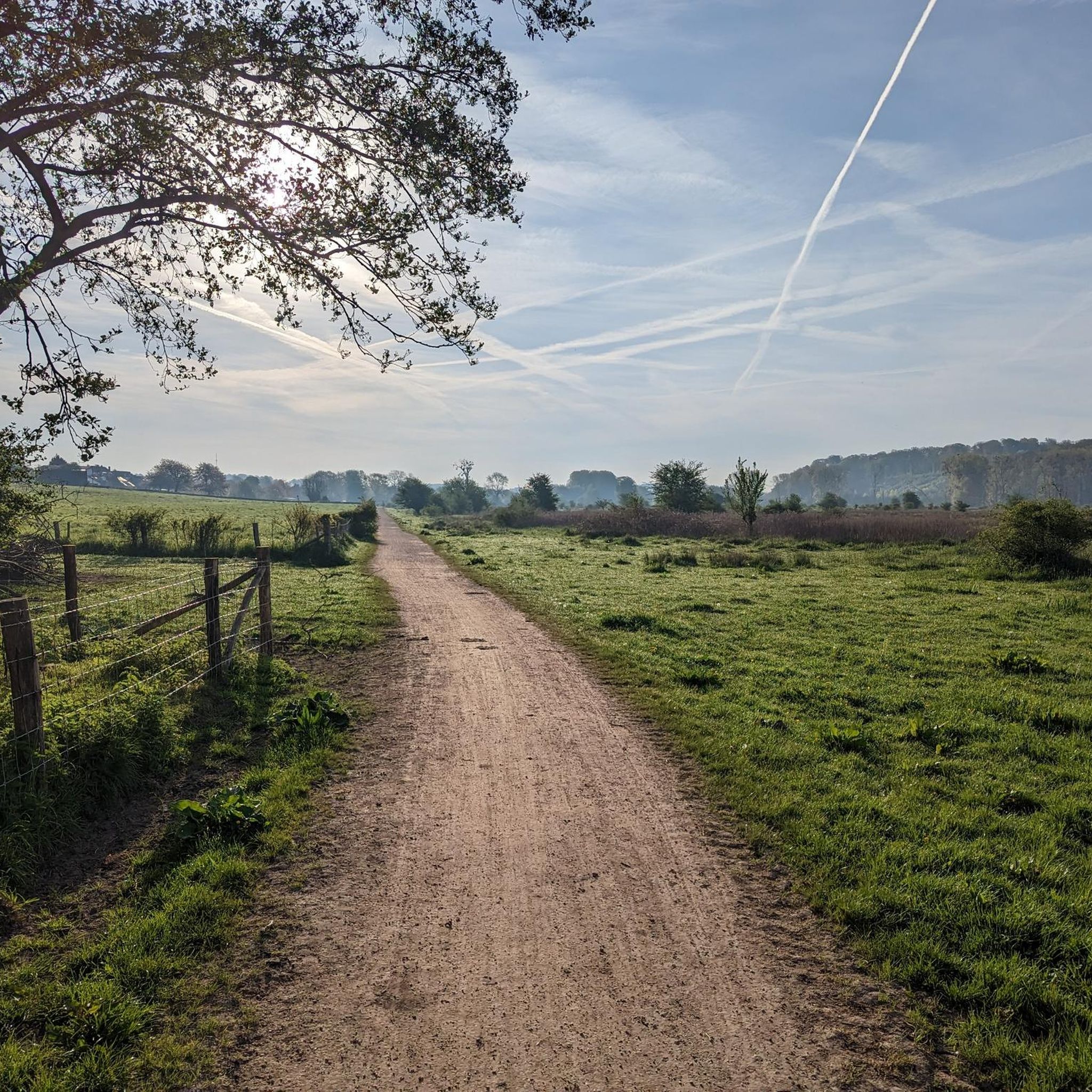
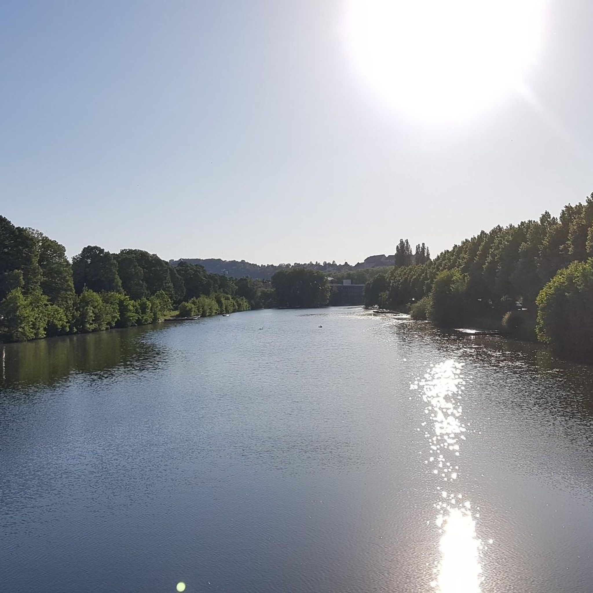
Tips from the Community

During a tour of the Municipal Cave, you'll be immersed in the history of Valkenburg aan de Geul. Discover the cave's origins and the animals that lived there millions of years ago. Together with the guide, you'll take an exciting tour through the marl tunnels and experience how and why they were formed. On both sides, you'll see beautiful sculptures and drawings. The guide's engaging stories bring Valkenburg aan de Geul's past to life. Source: Visit Zuid Limburg.
0
0

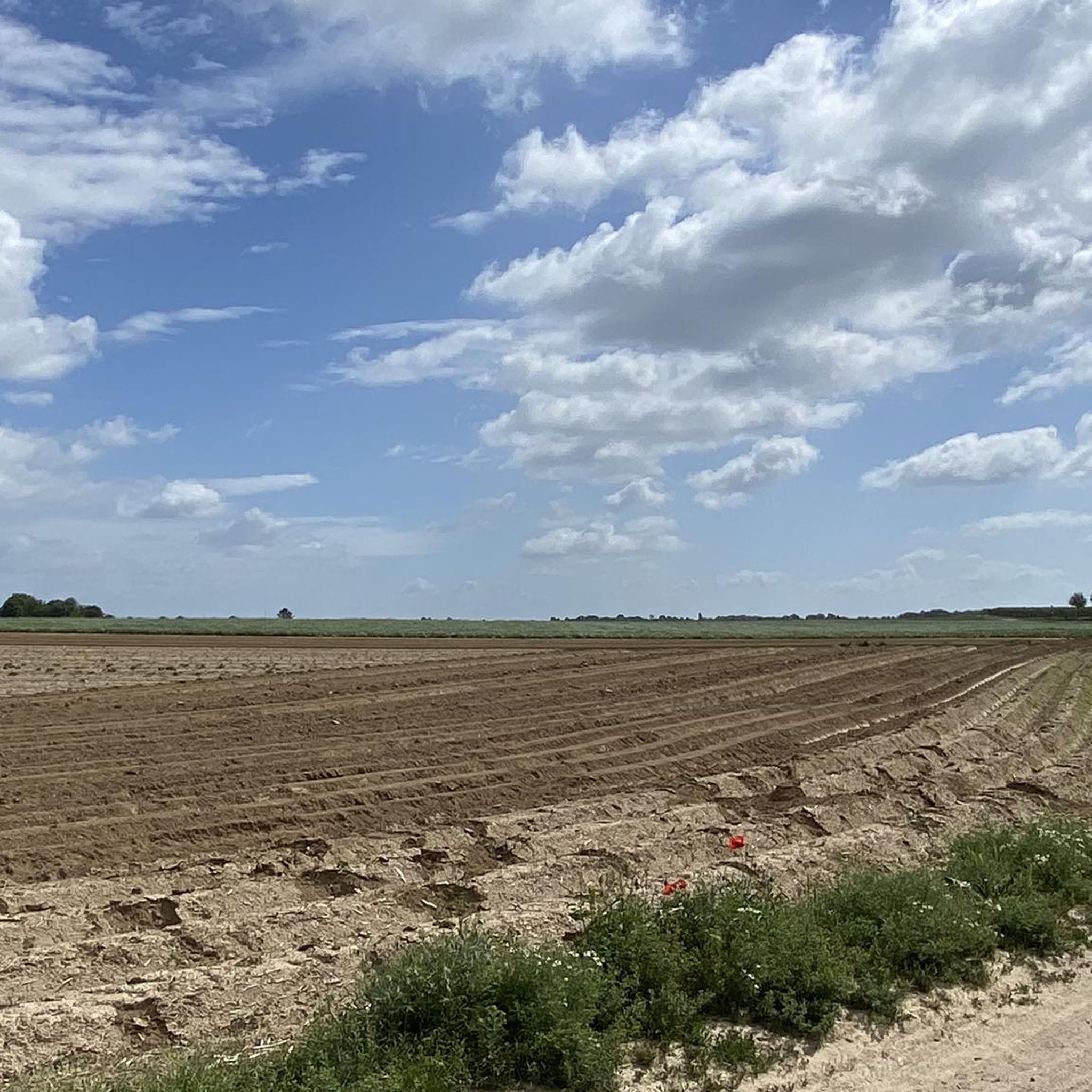
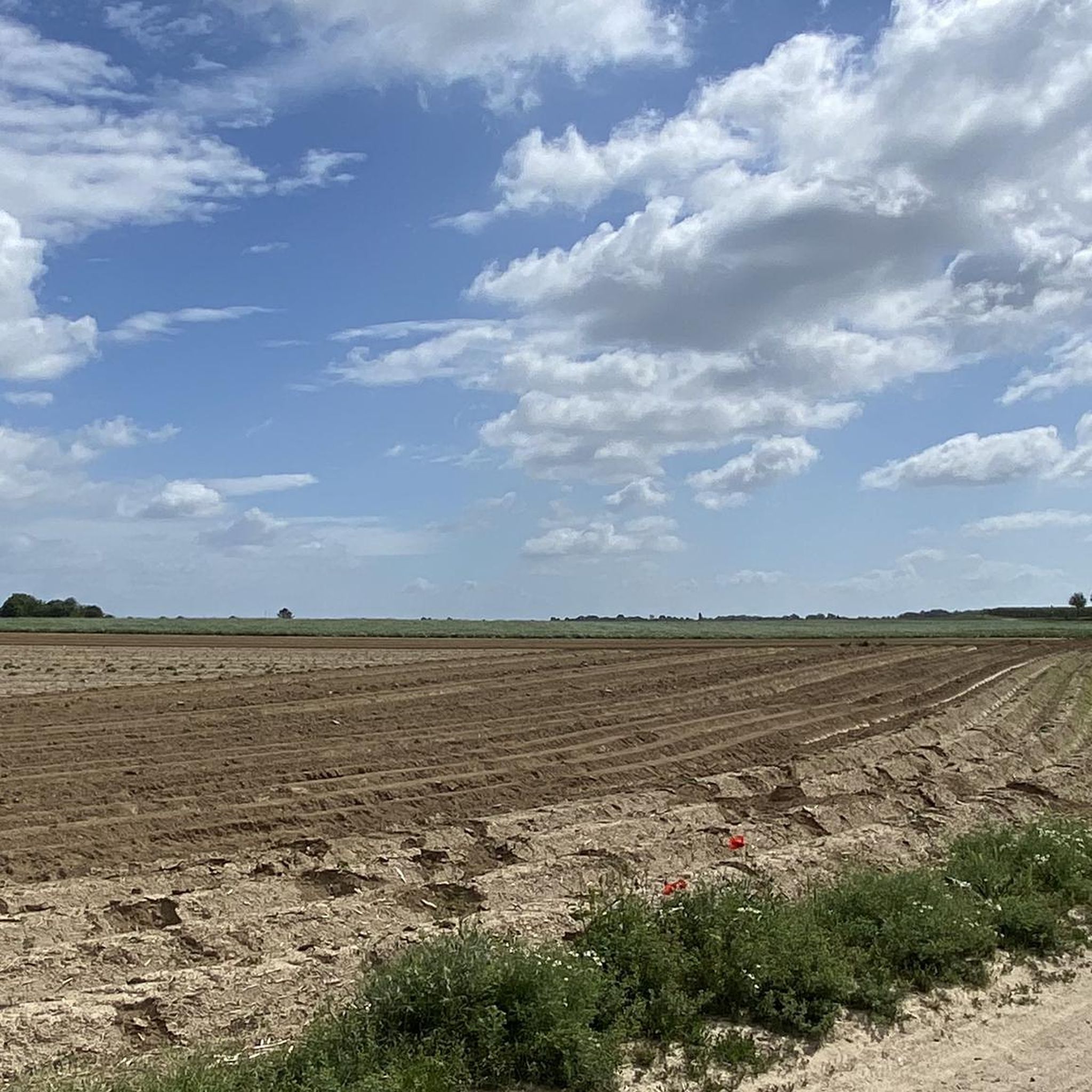
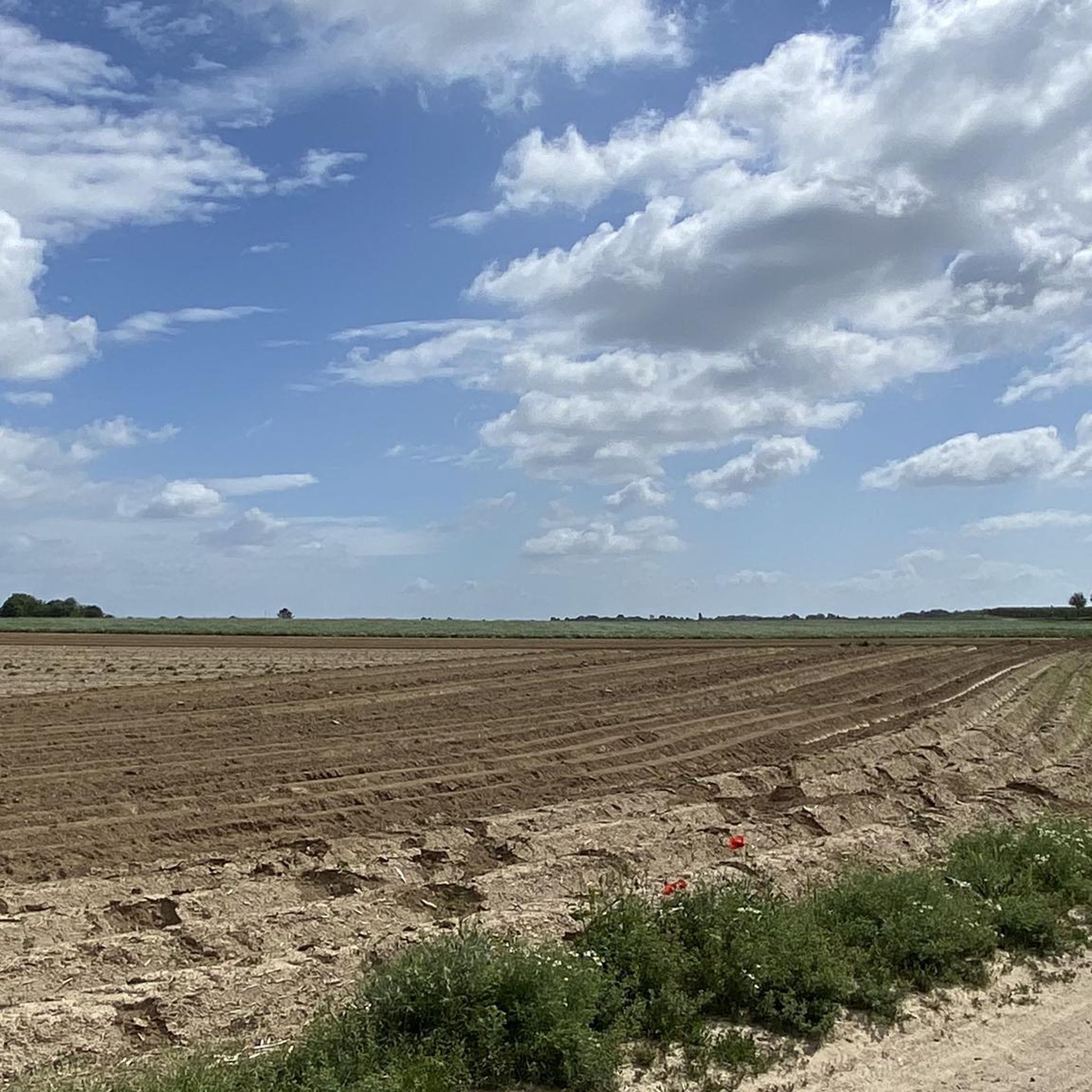
Source/info https://veldkruus.nl/kruis.php?kr=612 https://www.kruisenenkapellenlimburg.nl/2433/kruis Who knows more about this field cross
3
0

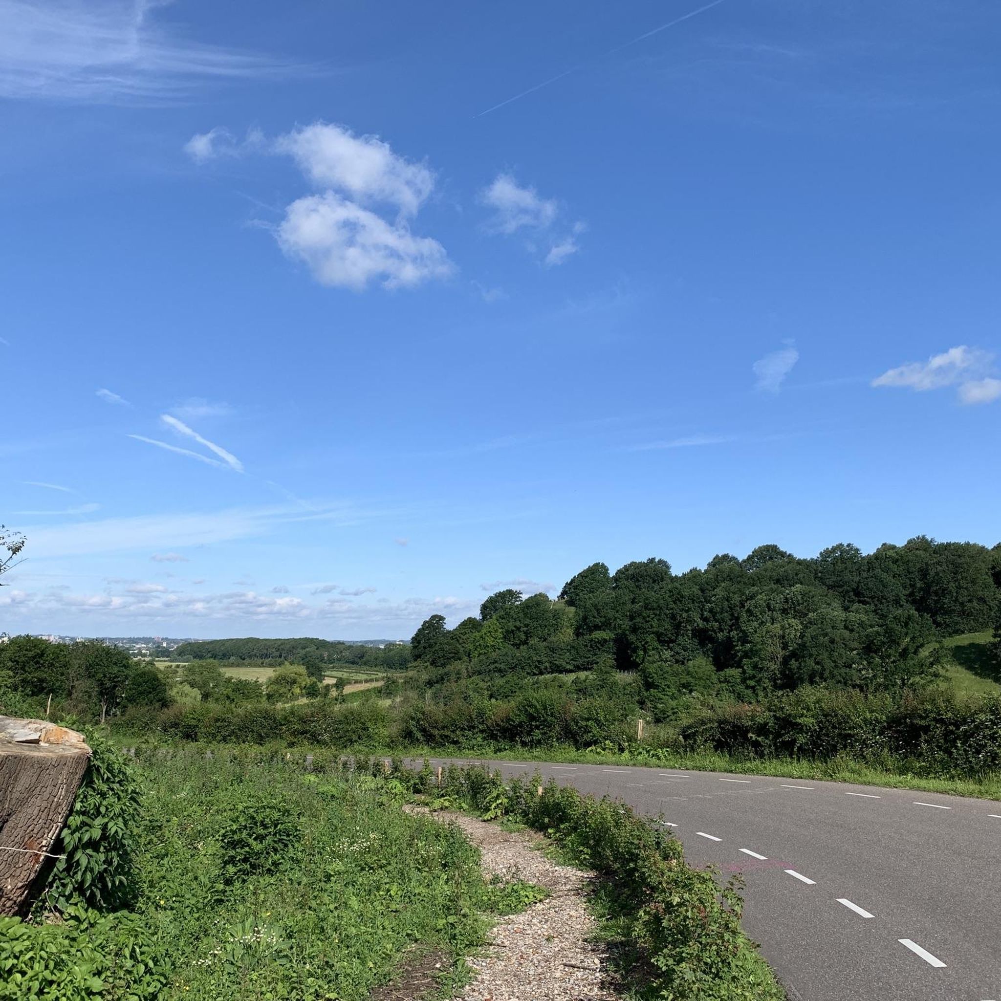
Huis De Beuk is a building in the Savelsbos forest, located in the Dutch municipality of Eijsden-Margraten. The white building is situated northeast of the village of Gronsveld, on a spur of the Wijngaardsberg/Riesenberg, on the edge of the Margraten Plateau. From this location, there is a view of the Meuse Valley to the west. South of Huis De Beuk, the Termaardergrub flows into the Meuse Valley.
0
0

The "Gemeentegrot" (Community Cave) is located at the foot of the Cauberg hill, and its tunnels extend for up to 50 km. Evidence suggests that the Romans began quarrying marlstone here. It can be visited by train or on foot. The Christmas market is one of the largest underground markets in Europe and well worth seeing.
0
0

we tried to return to Maastricht using the Arriva bus. However, it was a small bus and only 3 seats were available. My friends walked.
0
0

The Geul Valley is one of the most beautiful and characteristic landscapes in South Limburg. Here, the Geul meanders like a silver ribbon through green meadows, sloping forests, and flower-filled grasslands. The valley exudes tranquility and history: it is a landscape shaped over the centuries by water, man, and nature. Along the river lie countless old watermills, once the beating heart of the Limburg countryside. Mills such as the Volmolen, the Geulhemermolen, and the Schaloensmolen recall a time when flowing water brought not only life but also labor and crafts. Some mills are still in operation, while others have been lovingly restored into cafés, homes, or museums… all with the rhythm of the Geul as a backdrop.
0
0
The Geul is one of the most characteristic rivers in South Limburg. It rises in Belgium near the village of Lichtenbusch and then winds for approximately 58 kilometers through the Limburg hills before flowing into the Meuse near Bunde. Along the way, the Geul forms the heart of numerous nature reserves, such as the Geul Valley Ingendael and the Gerendal, and flows past charming villages like Valkenburg Meerssen and Epen. What makes the Geul so special is its natural course… it is allowed to meander freely, constantly creating new bends, gravel banks, and levees. This dynamic attracts countless animals, from kingfishers to brook lampreys, and ensures that the river is constantly changing with the seasons. Along its banks, you'll find quiet walking paths, old mills, bridges, and field crosses. The gentle murmur of the water accompanies you along the way, while the scent of grass and damp earth reminds you that this valley has been alive and breathing for centuries.
0
0

Frequently Asked Questions
How many running routes are available in Bemelerberg & Schiepersberg, and what are their difficulty levels?
Bemelerberg & Schiepersberg offers a wide selection of over 1200 running routes. These include approximately 79 easy routes, 981 moderate routes, and 168 difficult routes, catering to various fitness levels and preferences.
What kind of terrain and elevation changes can I expect on the running trails in Bemelerberg & Schiepersberg?
The region is known for its diverse and picturesque hilly landscape, featuring significant elevation changes as it transitions from the Meuse valley to the Margraten plateau. You'll encounter unique marl landscapes, calcareous grasslands, and slope forests, providing a challenging yet rewarding experience for runners.
Are there any family-friendly running routes in Bemelerberg & Schiepersberg?
While many routes are suitable for families, the region is particularly known for its 'kabouter-pad' (Gnome route), which offers an engaging and gentle activity for children. For specific easy running routes, you can explore options like the Bemelerberg Vineyard – Strooberg Quarry loop from Berg en Terblijt, which is a moderate 6 km path.
Can I bring my dog on the running trails in Bemelerberg & Schiepersberg?
Many trails in Bemelerberg & Schiepersberg are dog-friendly, allowing you to enjoy your run with your canine companion. However, as it's a Natura 2000 protected area with rich biodiversity, it's always recommended to keep dogs on a leash to protect wildlife and respect other trail users. Always check local signage for specific regulations.
What interesting landmarks or natural features can I see along the running routes?
The area is rich in unique features. You can explore the distinctive marl landscape with its historical underground quarries, such as the Strooberggroeve (Bemelen Caves) or Mettenberggroeve Caves. Many routes also pass by the Lourdes Grotto, Bemelerberg, and offer panoramic views from spots like the Bemelerberg Climb. You might even spot rare flora and fauna in the calcareous grasslands.
Are there any circular running routes available in the area?
Yes, many of the running routes in Bemelerberg & Schiepersberg are circular, offering convenient starting and ending points. A popular example is the Geulhemermolen with weir – Geulhem Cave Dwellings loop from Berg en Terblijt, a moderate 9.5 km path that features riverside sections and historical cave dwellings.
What do other runners enjoy most about jogging in Bemelerberg & Schiepersberg?
The area is highly rated by the komoot community, with an average score of 4.4 stars from over 770 reviews. Runners often praise the varied terrain, the scenic beauty, and the unique marl landscape. The extensive network of trails also allows for diverse experiences, from challenging climbs to peaceful runs through grasslands and forests.
Where can I find parking near the running trailheads?
Parking is generally available near popular trailheads and villages in the Bemelerberg & Schiepersberg area. Specific parking information can often be found on individual route pages on Komoot or by checking local municipality websites for designated parking areas in villages like Bemelen or Berg en Terblijt.
Is it possible to reach the running trails using public transport?
Yes, the region is accessible by public transport. You can typically reach villages like Bemelen or Berg en Terblijt, which serve as good starting points for many running routes, via local bus services. It's advisable to check current bus schedules and routes from nearby larger towns like Maastricht for the most up-to-date information.
What is the best time of year to go running in Bemelerberg & Schiepersberg?
Bemelerberg & Schiepersberg offers a rewarding running experience year-round. Spring brings blooming wildflowers to the grasslands, while autumn showcases vibrant foliage in the slope forests. Summer is pleasant, though it can be warm, and winter runs offer a unique, crisp atmosphere. The varied terrain means conditions can change, so always check the weather forecast before heading out.
Are there any cafes or pubs near the running routes for refreshments?
Yes, the villages surrounding Bemelerberg & Schiepersberg, such as Bemelen and Berg en Terblijt, offer various cafes, pubs, and restaurants where you can refuel and relax after your run. These establishments often provide local specialties and a welcoming atmosphere.
Are there any particularly challenging running routes for experienced runners?
For experienced runners seeking a challenge, the region offers routes with significant elevation gains. An example is the House De Beuk (Savelsbos) – Bemelerberg Vineyard loop from Bemelen, a difficult 28.8 km route with substantial climbing, providing a demanding workout amidst beautiful scenery.
Most popular routes in Bemelerberg & Schiepersberg
Most popular attractions in Bemelerberg & Schiepersberg

Get inspired with the komoot mobile app


Explore more
Browse the best Running Trails & Routes in other regions.
