The best walks and hikes in Nsg Obere Ruraue
4.5
(13810)
49,164
hikers
1,417
hikes
Hiking in Nsg Obere Ruraue offers diverse landscapes centered around the Rur River and its floodplain. The region features a mix of open fields and forests, with the Rur River meandering through the area. A notable natural feature is the Adolfosee, a lake situated along the Rur River, providing opportunities to observe water birds. The terrain generally includes well-maintained paths along the riverbanks and varied routes through the surrounding natural reserve.
Best hiking trails in Nsg Obere Ruraue
- The most…
Last updated: July 4, 2026
4.5
(160)
692
hikers
Easy hike. Great for any fitness level. Easily-accessible paths. Suitable for all skill levels.
4.4
(14)
56
hikers
Moderate hike. Good fitness required. Easily-accessible paths. Suitable for all skill levels.

Sign up for free
4.7
(21)
50
hikers
15.2km
03:53
50m
50m
Moderate hike. Good fitness required. Easily-accessible paths. Suitable for all skill levels.
4.5
(13)
118
hikers
4.84km
01:21
90m
90m
Easy hike. Great for any fitness level. Easily-accessible paths. Suitable for all skill levels.
5.0
(1)
11
hikers
9.12km
02:19
20m
20m
Moderate hike. Good fitness required. Easily-accessible paths. Suitable for all skill levels.
Get access to more routes and recommendations from other explorers.
Sign up for free
Already have an account?
Our route recommendations are based on thousands of hikes, rides, and runs completed by other people on komoot.
Start today with a free account
Your next adventure awaits.
Login or Signup
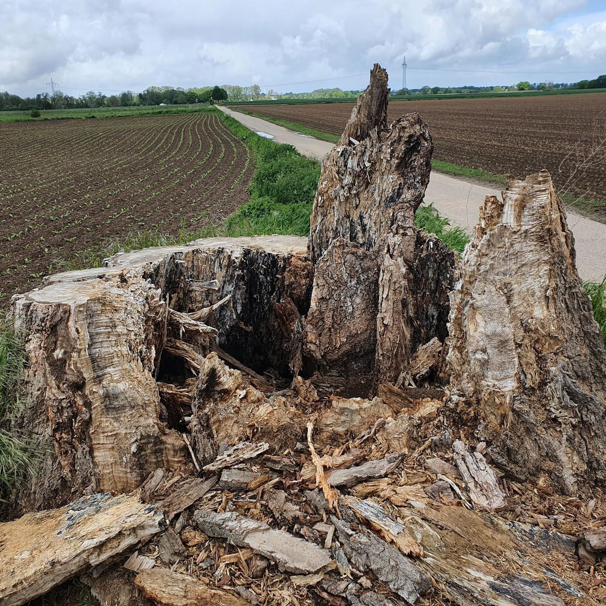
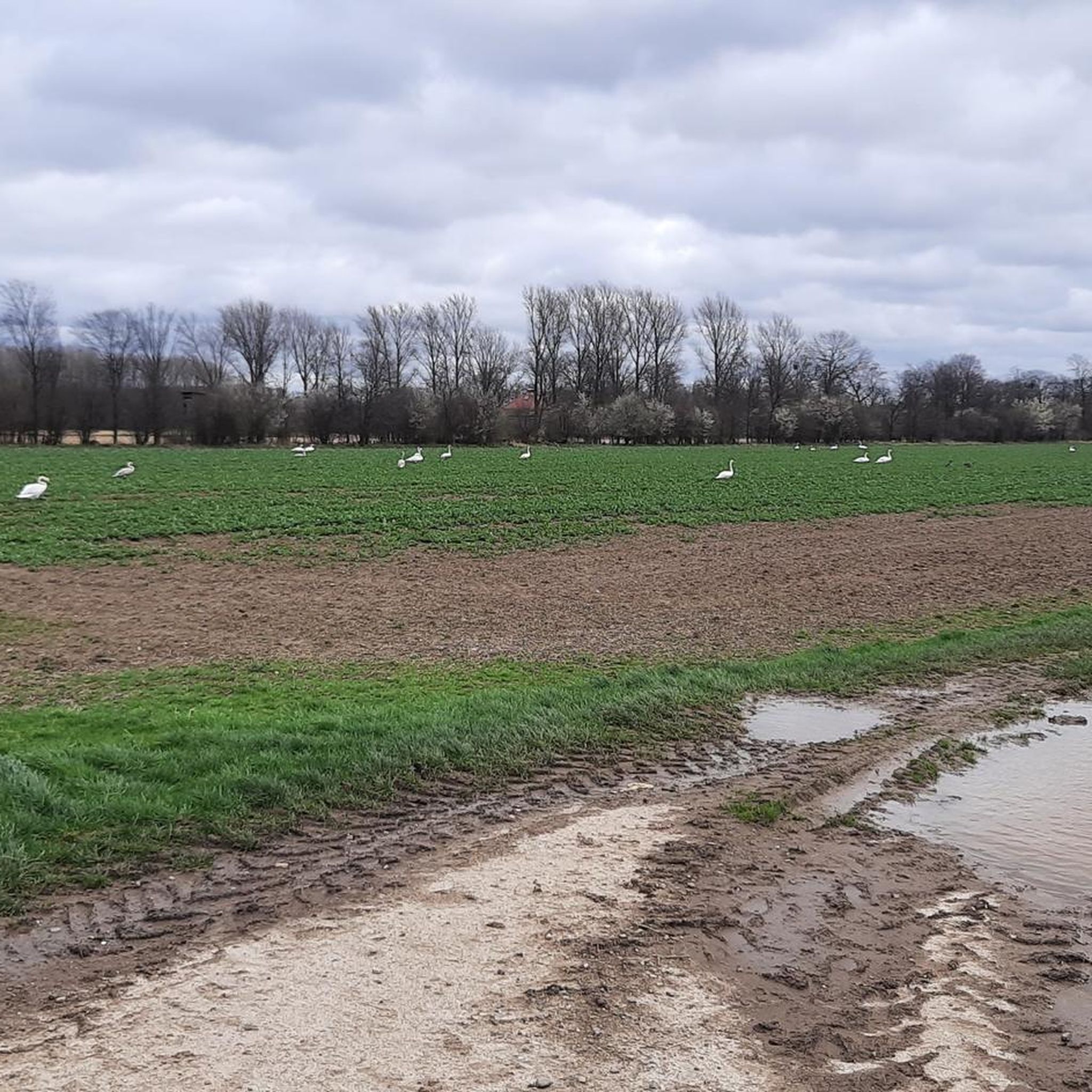
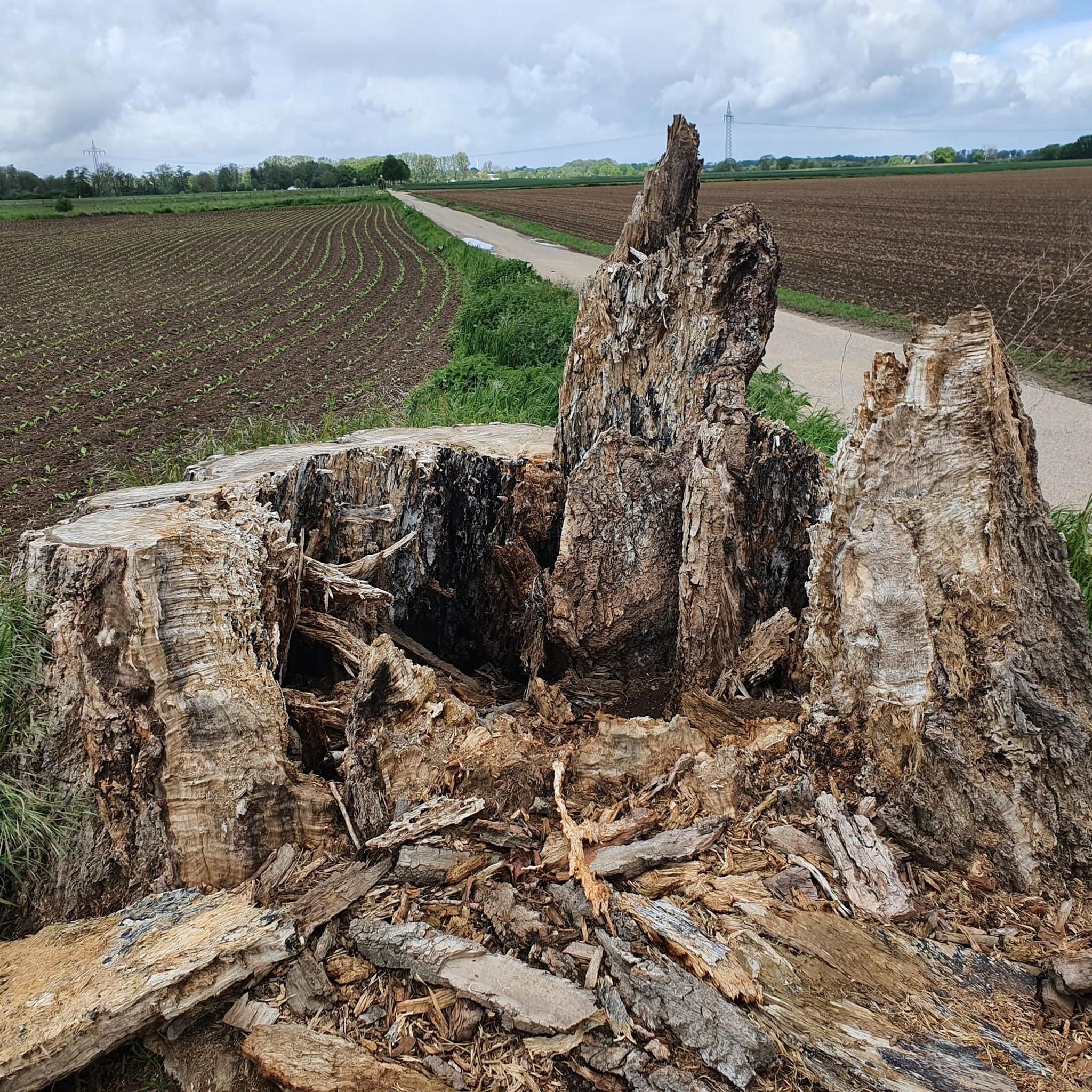

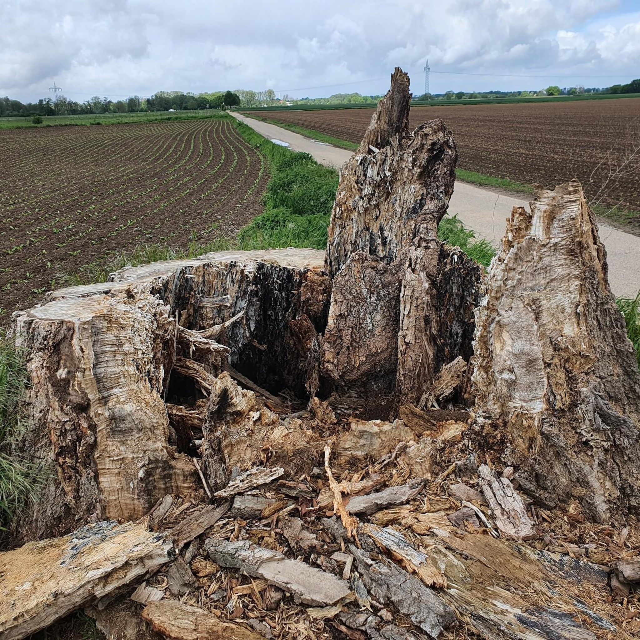
Tips from the Community

From the platform, there is a great distant view in good weather.
0
0

Beautiful cycle path along the Rur
1
0

First stumbled upon the heading of this highlight. I hadn't seen the Adolfosee in connection with the Schwalm-Nette Nature Park. However, an inquiry with Google AI confirmed this, and the nature park lists the lake itself on its website, even offering herb walks there. What I found even more interesting was the information that there are efforts to extend the park area further south in the future and to integrate the Rurtal valley in the Hückelhoven area up to the municipal border near Rurich, including the nature reserve with the bluebells near Baal. Likewise along the Wurm river to Geilenkirchen Source: Kreis Viersen https://share.google/WkFiPuwi1csUjz5fF
0
0
Shortly before the actual bluebell forest in the NSG Am Hintersten Berg, you can already find isolated bluebells here.
1
0

I liked it a lot. You can sit very nicely and enjoy the view of the lake. Nice ambiance with a Mediterranean flair. Good opportunity for a break.
0
0
A great spectacle when the whole forest glows blue.
0
0

Magnificent view of the bluebell "fields"
1
0

During the winter months, the Millicher Halde transforms into a magical lightscape: Lumagica Haldenzauber. As dusk falls, the paths glow with soft colors, art installations appear among the trees, and the old mine spoil heap comes alive with shimmering shapes and music. The walk leads along rolling paths and stairs to the summit – a gentle climb with ever-changing moments of light around every bend. At the top, a panorama of sparkling light figures and views over the dark land below awaits. What was once a symbol of industry now shines as a place of wonder and tranquility. A unique combination of nature, art, and memory.
0
0
Frequently Asked Questions
How many hiking trails are available in Nsg Obere Ruraue?
Nsg Obere Ruraue offers an extensive network of over 1,400 routes for various outdoor activities, with a significant portion dedicated to hiking. You'll find a wide range of options, from easy strolls to more challenging treks.
What kind of terrain can I expect on the hiking trails in Nsg Obere Ruraue?
The terrain in Nsg Obere Ruraue is quite varied, characterized by the meandering Rur River and its floodplain. You'll encounter well-maintained paths along riverbanks, open fields, and forested sections. The area features diverse biotopes, including relics of riparian forests and old river arms, creating a rich and interesting landscape for exploration.
Are there any easy, family-friendly hikes in Nsg Obere Ruraue?
Yes, Nsg Obere Ruraue has many easy trails suitable for families. A great option is the Between the Adolfosee and the Rur – Bunker islands on Adolfosee loop from Oberbruch, an easy 4.3 km (2.7 miles) loop that takes just over an hour, offering scenic views of the Adolfosee and the Rur River. Many trails along the river are relatively flat and accessible.
What are the notable natural features or landmarks to see while hiking?
The region is rich in natural beauty and interesting landmarks. Key features include the Adolfosee, a beautiful lake perfect for observing water birds, and the Rur River itself. You can also cross the scenic Blue Bridge over the Rur or the Rur Bridge at Adolfosee, which provide excellent vantage points and connect different parts of the trail network.
Are there any circular hiking routes in Nsg Obere Ruraue?
Absolutely. Many of the trails in Nsg Obere Ruraue are designed as loops, allowing you to start and end at the same point. For example, the moderate View of the Rur River – Wild Rur River loop from Körrenzig is a 15.2 km (9.4 miles) circular trail that explores the Rur River valley, typically completed in under four hours.
What do other hikers say about the trails in Nsg Obere Ruraue?
The hiking trails in Nsg Obere Ruraue are highly regarded by the komoot community, with an average rating of 4.5 out of 5 stars from over 12,800 reviews. Hikers often praise the diverse landscapes, the tranquility of the river and lake areas, and the well-maintained paths that make for enjoyable walks.
Are dogs allowed on the hiking trails in Nsg Obere Ruraue?
Yes, dogs are generally welcome on the hiking trails in Nsg Obere Ruraue. However, as it is a nature reserve, it's important to keep your dog on a leash to protect local wildlife and ensure a pleasant experience for all visitors. Always clean up after your pet.
Are there any moderate or challenging hikes for more experienced hikers?
While many trails are easy, there are also moderate options for those seeking a longer or slightly more challenging experience. The Rur Bridge at Adolfosee – Bunker islands on Adolfosee loop from Oberbruch is a moderate 13.7 km (8.5 miles) path that explores the area around the Adolfosee and crosses the Rur, offering a good workout with varied scenery.
What is the best time of year to go hiking in Nsg Obere Ruraue?
Nsg Obere Ruraue is beautiful year-round, but spring and autumn are particularly pleasant for hiking. In spring, the landscape comes alive with greenery, and in autumn, the changing foliage offers stunning colors. Summer is also great, especially for walks along the water, but be prepared for more sun exposure in open areas.
Are there any trails that are suitable for strollers or wheelchairs?
While many paths along the Rur River are relatively flat and well-maintained, specific trails explicitly designated as stroller or wheelchair accessible are not widely highlighted. It's best to check individual route descriptions for path surface details if you require full accessibility, focusing on wider, paved, or compacted gravel sections.
Can I find places to eat or stay near the hiking areas?
While Nsg Obere Ruraue itself is a nature reserve, the surrounding towns and villages offer amenities such as cafes, pubs, and accommodation options. You'll find various establishments where you can refuel or relax after your hike, typically a short drive from the main trailheads.
Most popular routes in Nsg Obere Ruraue
Most popular attractions in Nsg Obere Ruraue

Get inspired with the komoot mobile app


Explore more
Browse the best Hikes in other regions.
