The best walks and hikes in Rheinaue Langel-Merkenich
4.5
(16680)
88,920
hikers
2,210
hikes
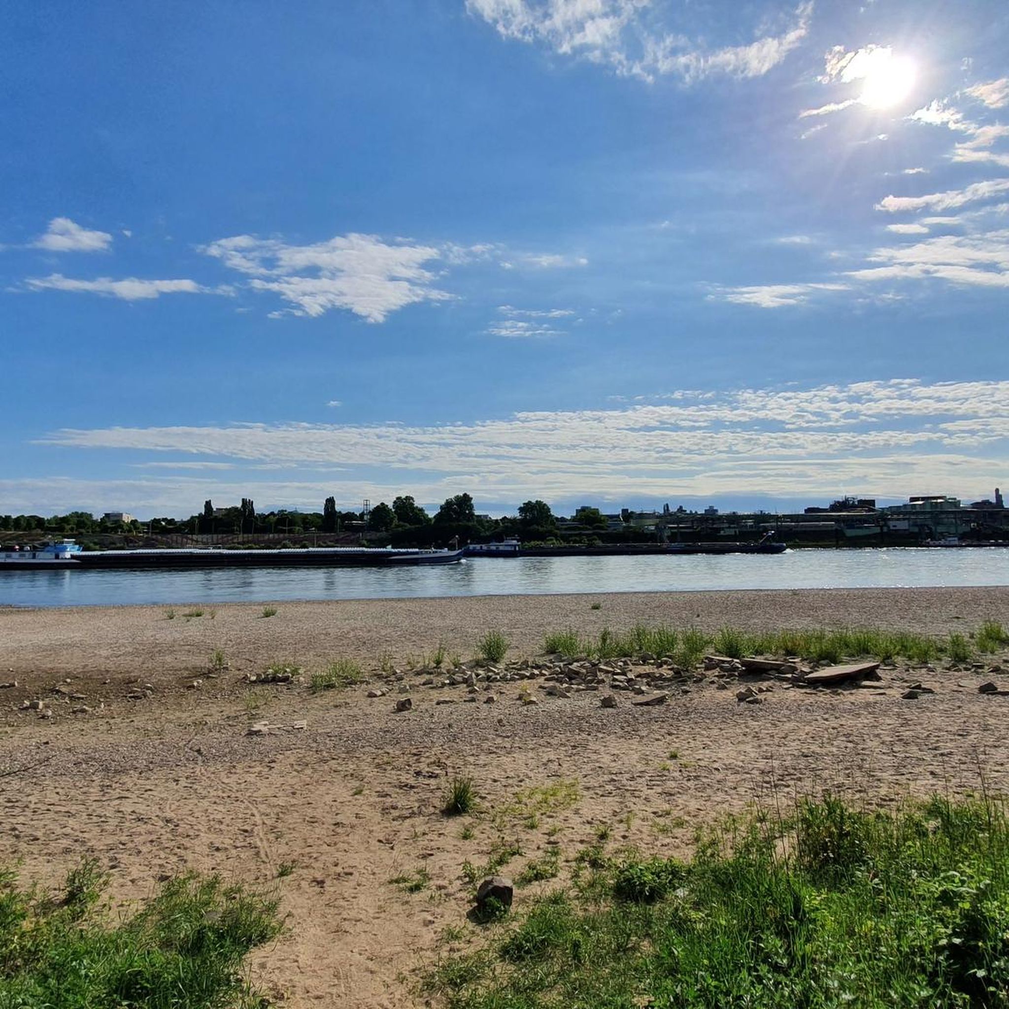
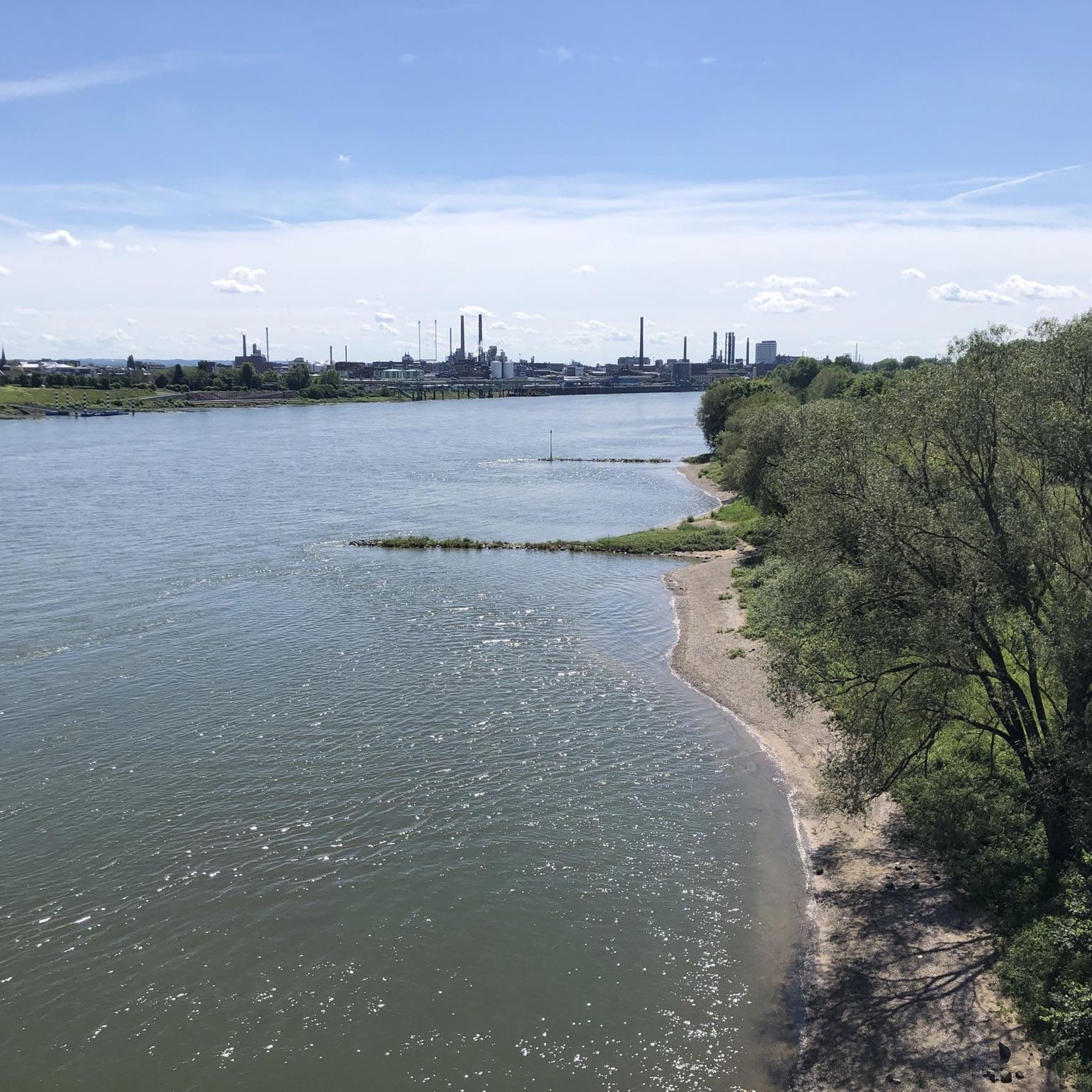
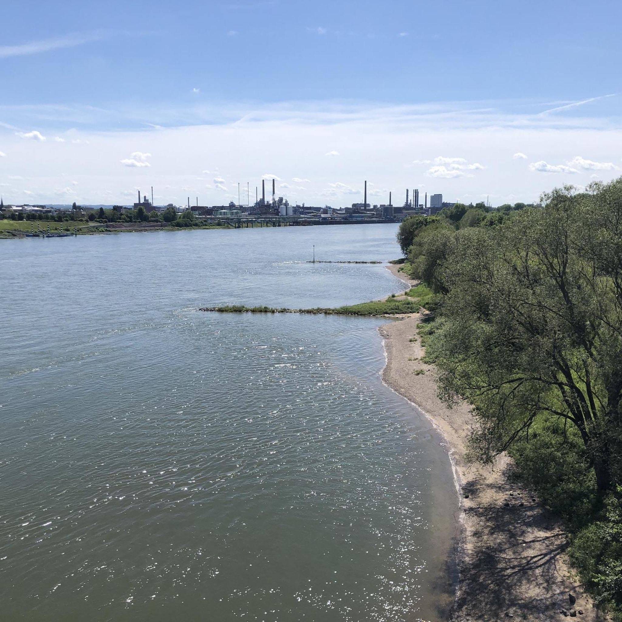
Hiking trails in Rheinaue Langel-Merkenich traverse a diverse landscape characterized by the Rhine river and its natural floodplains. The area features a mix of soft and hardwood floodplain forests, including old willow trees and extensive green spaces with meadows and grasslands. Ponds and old oxbow lakes are also present, enriching the biodiversity and offering varied scenery for hikers. This designated nature reserve provides a network of paths suitable for exploring its riverine environment.
Best hiking trails in Rheinaue Langel-Merkenich
- The…
Last updated: July 10, 2026
4.5
(47)
160
hikers
Moderate hike. Good fitness required. Easily-accessible paths. Suitable for all skill levels.
4.8
(24)
89
hikers
7.65km
01:56
10m
10m
Easy hike. Great for any fitness level. Easily-accessible paths. Suitable for all skill levels.

Sign up for free
4.1
(11)
46
hikers
12.0km
03:04
30m
30m
Moderate hike. Good fitness required. Easily-accessible paths. Suitable for all skill levels.
4.7
(9)
76
hikers
Easy hike. Great for any fitness level. Easily-accessible paths. Suitable for all skill levels.
4.5
(8)
66
hikers
5.54km
01:24
10m
10m
Easy hike. Great for any fitness level. Easily-accessible paths. Suitable for all skill levels.
Get access to more routes and recommendations from other explorers.
Sign up for free
Already have an account?
Our route recommendations are based on thousands of hikes, rides, and runs completed by other people on komoot.
Start today with a free account
Your next adventure awaits.
Login or Signup
Tips from the Community


The water lily motif is not visible from a distance, only when you stand in front of it at a certain angle.
0
0

In the north of Cologne at Rhine kilometer 705.3, the car and passenger ferry St. Michael offers a reliable and fast connection between Cologne-Langel and Leverkusen-Hitdorf
3
0


The 2,300-meter-long regatta course was inaugurated in 1978. At that time, there was little more here than a gravel pit with a field all around. The sports facility enhanced the region and within ten years the Fühlinger See recreation area with its seven sub-lakes was developed.
1
0

Rural district located directly on the Rhine ferry to Hitdorf
0
0
Frequently Asked Questions
How many hiking trails are available in Rheinaue Langel-Merkenich?
There are over 2000 hiking routes in Rheinaue Langel-Merkenich, catering to various preferences and fitness levels. More than 1500 of these are rated as easy, making the area very accessible for casual strolls and beginners.
Are there easy hiking trails suitable for beginners or casual strolls?
Absolutely. The Rheinaue Langel-Merkenich area features numerous easy paths, many of which follow the scenic Rhine riverbanks. An excellent option for an easy walk is the Willow Tree by the Rhine loop from Merkenich, which is about 7.6 km long and offers beautiful riverside views.
What kind of landscapes can I expect to see while hiking here?
The Rheinaue Langel-Merkenich offers a diverse landscape characterized by the Rhine river and its natural floodplains. You'll encounter a mix of soft and hardwood floodplain forests, including old willow trees, extensive green spaces with meadows, and tranquil ponds and old oxbow lakes. This variety makes for a visually engaging hiking experience.
Are there any circular hiking routes in Rheinaue Langel-Merkenich?
Yes, many of the trails in Rheinaue Langel-Merkenich are circular, allowing you to start and end at the same point. For a moderate circular route through varied forest paths, consider the Worringer Bruch Nature Reserve – Forest Path in Worringer Bruch loop from Merkenich.
What are some notable natural features or attractions to look out for?
Beyond the Rhine river itself, hikers can explore diverse forest types, including remnants of soft-wood forests with old willow trees. The area is also rich in ponds and old oxbow lakes, which add to its biodiversity. For a route that includes a larger body of water, the Fühlinger Lake Regatta Course – Fühlinger Lake loop from Merkenich takes you around the scenic Fühlinger Lake.
Is Rheinaue Langel-Merkenich suitable for family hikes?
Yes, the area is well-suited for families, especially given the large number of easy and accessible paths. The varied landscapes, including open meadows and riverside sections, provide engaging environments for children. Remember to keep dogs on a leash to protect the local wildlife.
What do other hikers enjoy most about hiking in Rheinaue Langel-Merkenich?
The area is highly rated by the komoot community, with an average score of 4.5 stars from over 15,000 reviews. Hikers often praise the peaceful natural setting, the scenic views along the Rhine, and the well-maintained paths that make exploring the diverse floodplain forests and open spaces enjoyable.
Are there any specific points of interest or landmarks near the trails?
Yes, there are a few interesting spots nearby. You might encounter the New Leverkusen Rhine Bridge, or the historic St. Amandus Church (Cologne-Rheinkassel). For a quick stop, the Kasselberger Hühnerhof Farm Shop Vending Machine offers local goods.
What is the best time of year to go hiking in Rheinaue Langel-Merkenich?
The Rheinaue Langel-Merkenich is enjoyable year-round. Spring brings blooming flora, summer offers lush greenery and shade from the forests, while autumn provides beautiful foliage. Even in winter, the riverside paths can be picturesque. Always check local weather conditions before heading out.
Are dogs allowed on the hiking trails?
Yes, dogs are generally welcome on the hiking trails in Rheinaue Langel-Merkenich. However, as it is a designated nature reserve, it is crucial to keep dogs on a leash at all times to protect the local flora and fauna and respect conservation efforts.
How can I get to the Rheinaue Langel-Merkenich trails using public transport?
The Rheinaue Langel-Merkenich area is accessible by public transport from Cologne. You can typically reach starting points in Merkenich or Langel via bus lines. It's advisable to check the local transport authority's website for the most current schedules and connections to plan your journey.
Are there parking facilities available for hikers?
Yes, there are parking options available near various entry points to the Rheinaue Langel-Merkenich, particularly in areas like Merkenich and Langel. These facilities make it convenient for those traveling by car to access the hiking trails.
What is the typical duration for a hike in this region?
Hiking durations vary widely depending on the chosen route and your pace. Easy trails like the Rhine Riverbank in Cologne – Langel on the Rhine loop from Merkenich can take around 1 hour 15 minutes for its 5.1 km. Longer, moderate routes, such as the Fühlinger Lake – Fühlinger Lake loop from Rheinaue Langel-Merkenich (8.9 km), might take closer to 2 hours 15 minutes.
Most popular routes in Rheinaue Langel-Merkenich
Most popular attractions in Rheinaue Langel-Merkenich

Get inspired with the komoot mobile app


Explore more
Browse the best Hikes in other regions.
