Naturschutzgebiet Rheinaue Binsheim
Naturschutzgebiet Rheinaue Binsheim
The best road cycling routes in Naturschutzgebiet Rheinaue Binsheim
4.4
(928)
10,426
riders
469
rides
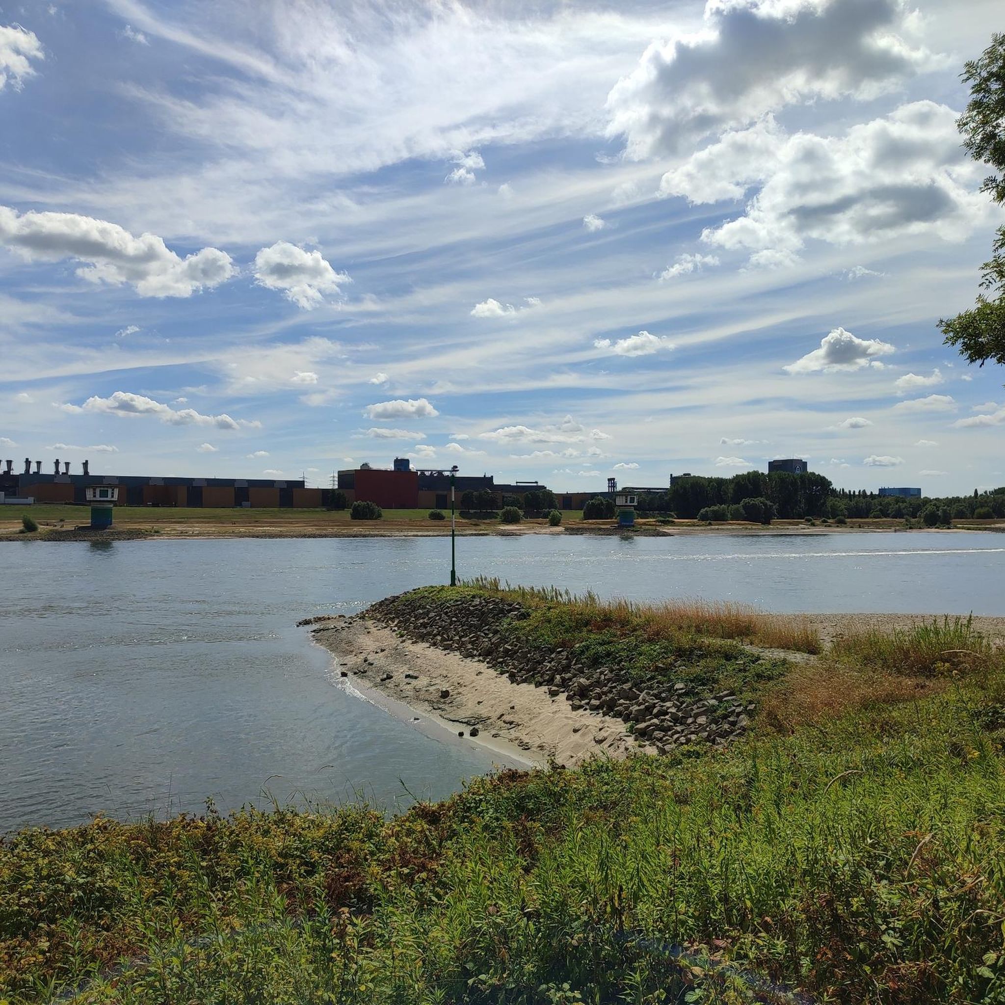
Road cycling routes in Naturschutzgebiet Rheinaue Binsheim traverse a landscape shaped by the Rhine floodplains, characterized by flat terrain and open views. The region features a network of paved paths and quiet roads, often running alongside river dikes and through agricultural areas. Elevation changes are minimal, making it suitable for sustained cycling. This natural reserve offers routes that combine riverine scenery with glimpses of local towns.
Best road cycling routes in Naturschutzgebiet Rheinaue Binsheim
- The most popular road cycling route…
Last updated: July 4, 2026
1
riders
59.0km
02:20
140m
140m
Moderate road ride. Good fitness required. Mostly well-paved surfaces and easy to ride.
4.6
(5)
51
riders
44.8km
01:55
90m
90m
Moderate road ride. Great for any fitness level. Some segments of this route may be unpaved and difficult to ride.

Sign up for free
4.5
(2)
25
riders
21.5km
00:54
70m
70m
Easy road ride. Great for any fitness level. Mostly well-paved surfaces and easy to ride.
21
riders
Easy road ride. Great for any fitness level. Mostly well-paved surfaces and easy to ride.
3
riders
46.3km
02:17
150m
150m
Moderate road ride. Good fitness required. Some segments of this route may be unpaved and difficult to ride.
Get access to more routes and recommendations from other explorers.
Sign up for free
Already have an account?
Our route recommendations are based on thousands of hikes, rides, and runs completed by other people on komoot.
Start today with a free account
Your next adventure awaits.
Login or Signup
Tips from the Community

Slightly worse asphalt than below but OK
0
0

The small Protestant church at Rheinstrasse 42 is really cute but has bells like a mighty church.
2
0

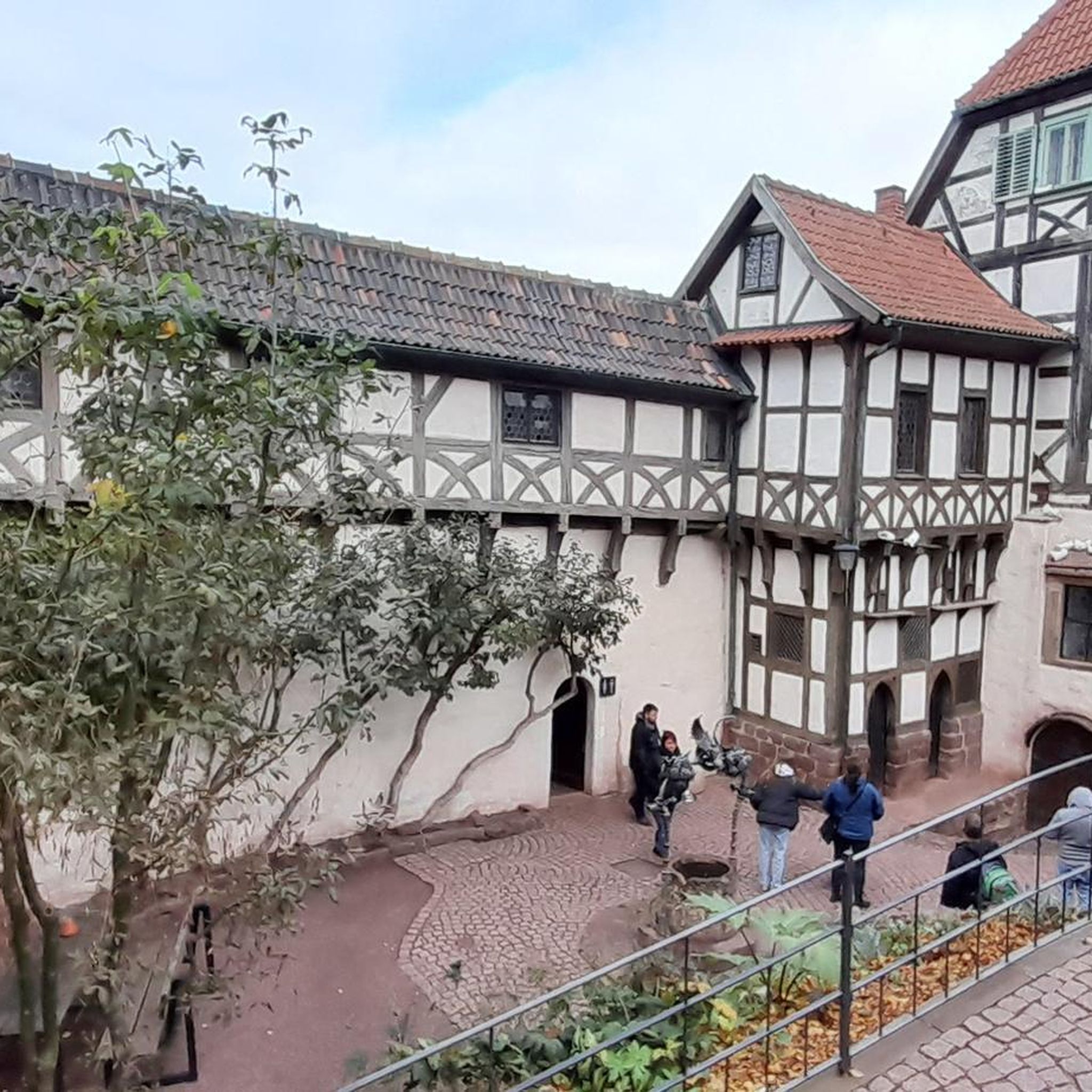
Impressive building. Even for non-believers.
0
0

Super nice place to linger and take a break
4
0

Nice place for a rest with a shelter, a seating area with a table, a map of the area and a trash can 👍
2
0

Long stretch of asphalt with right of way and usually very little traffic - ideal for intervals
2
0

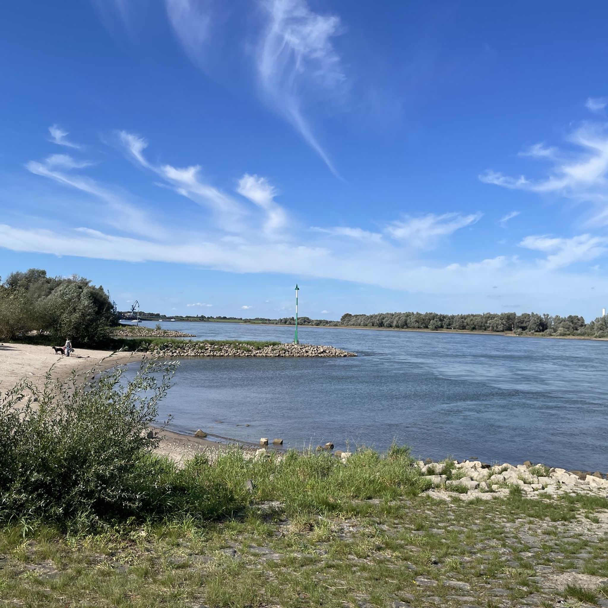
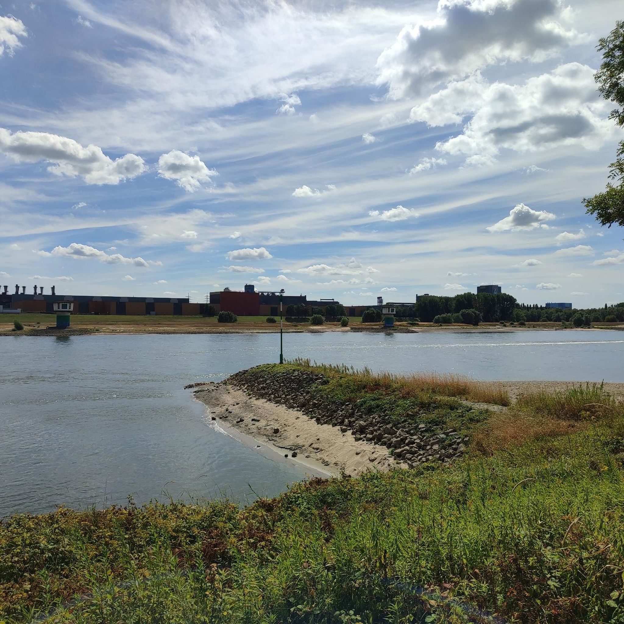
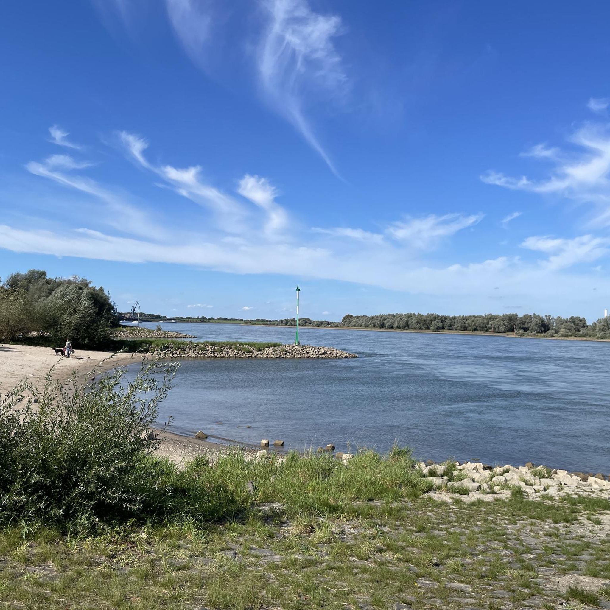
At the height of the Ahr beach house, you have a beautiful view of the Rhine loop there and of the Walsum coal-fired power plant about 10 km away. The ferry terminal is also located there. An interface between the rural Lower Rhine and the urban western Ruhr area.
2
0

It’s worth taking a little break here!
0
0
Frequently Asked Questions
What is the general difficulty level of road cycling routes in Naturschutzgebiet Rheinaue Binsheim?
The terrain in Naturschutzgebiet Rheinaue Binsheim is predominantly flat with minimal elevation changes, making it suitable for a wide range of cyclists. While most routes are classified as moderate (over 300), there are also nearly 100 easy routes perfect for beginners or a relaxed ride, and a few more challenging options for experienced riders.
What is the typical length of road cycling routes in Naturschutzgebiet Rheinaue Binsheim?
Routes vary significantly in length, offering options for both short excursions and longer rides. You can find shorter loops, such as the Rheinberg's Historic Old Town – Café Bartje loop from Nordhafen Walsum at 12.4 km, or longer tours like the Inviting rest area – Vluyner Busch loop from Nordhafen Walsum, which covers 60.5 km.
Are there family-friendly road cycling routes in Naturschutzgebiet Rheinaue Binsheim?
Yes, the flat terrain and minimal elevation make many routes in Naturschutzgebiet Rheinaue Binsheim ideal for families. Look for routes marked as 'easy' on komoot, which often follow paved paths along dikes or through quiet agricultural areas, providing a safe and enjoyable experience for all ages.
Where can I park my car when road cycling in Naturschutzgebiet Rheinaue Binsheim?
Designated parking areas are often available at popular starting points for routes, particularly near towns like Walsum or Orsoy. Many routes also begin near public parking facilities in these local communities, providing convenient access to the trails.
Is Naturschutzgebiet Rheinaue Binsheim accessible by public transport for road cyclists?
Yes, the region is well-connected by public transport. You can reach towns like Walsum or Orsoy, which serve as excellent starting points for many road cycling routes, via regional train or bus services. Check local transport schedules for the most convenient connections.
What is the best time of year for road biking in Naturschutzgebiet Rheinaue Binsheim?
Spring, summer, and early autumn generally offer the most pleasant conditions for road cycling in Naturschutzgebiet Rheinaue Binsheim. During these seasons, you can expect milder temperatures and less precipitation, making for comfortable rides along the Rhine floodplains. Always check the local weather forecast before heading out.
Are there any circular road cycling routes in Naturschutzgebiet Rheinaue Binsheim?
Many of the road cycling routes in Naturschutzgebiet Rheinaue Binsheim are designed as loops, allowing you to start and end at the same point. Examples include the Dammstraße Straight Section – Voerde Power Plant loop from Walsum and the Rhine Cycle Path near Wesel – Bislicher Insel Nature Reserve loop from Schwarzer Adler.
What kind of views and scenery can I expect along the road cycling routes?
Road cycling routes in Naturschutzgebiet Rheinaue Binsheim offer diverse scenery, including expansive views of the Rhine floodplains, agricultural landscapes, and sections along river dikes. You'll also pass through charming small towns and may catch glimpses of both natural and industrial elements characteristic of the Lower Rhine region.
Are there places to stop for refreshments or a break along the routes?
Yes, several routes pass through or near towns and villages where you can find cafes and restaurants. For instance, the Rheinberg's Historic Old Town – Café Bartje loop from Nordhafen Walsum specifically highlights a refreshment stop. You can also find places like Cafe Hagemann in the area.
What can I see along the road cycling routes in terms of landmarks or points of interest?
The routes often pass by historical sites and points of interest. You might encounter the Walsum–Orsoy Rhine Ferry, the historic Rhine Gate in Orsoy, or sections of the Orsoy Wall Promenade Ring (Historic Fortifications), offering glimpses into the region's past.
What do other road cyclists enjoy most about road cycling in Naturschutzgebiet Rheinaue Binsheim?
The area is highly rated by the komoot community, with an average score of 4.4 stars from over 750 reviews. Reviewers often praise the well-maintained, flat paths, the scenic riverine landscapes, and the variety of routes that cater to different fitness levels, making it an enjoyable experience for many.
How many road cycling routes are available in Naturschutzgebiet Rheinaue Binsheim?
There are over 400 road cycling routes available in Naturschutzgebiet Rheinaue Binsheim on komoot, offering a wide selection for various preferences and skill levels. This includes a significant number of easy and moderate routes, ensuring there's something for everyone.
Most popular routes in Naturschutzgebiet Rheinaue Binsheim
Most popular attractions in Naturschutzgebiet Rheinaue Binsheim

Get inspired with the komoot mobile app


Explore more
Browse the best Road cycling routes in other regions.
