The best road cycling routes in Schaephuysener Höhen
4.5
(396)
4,968
riders
483
rides
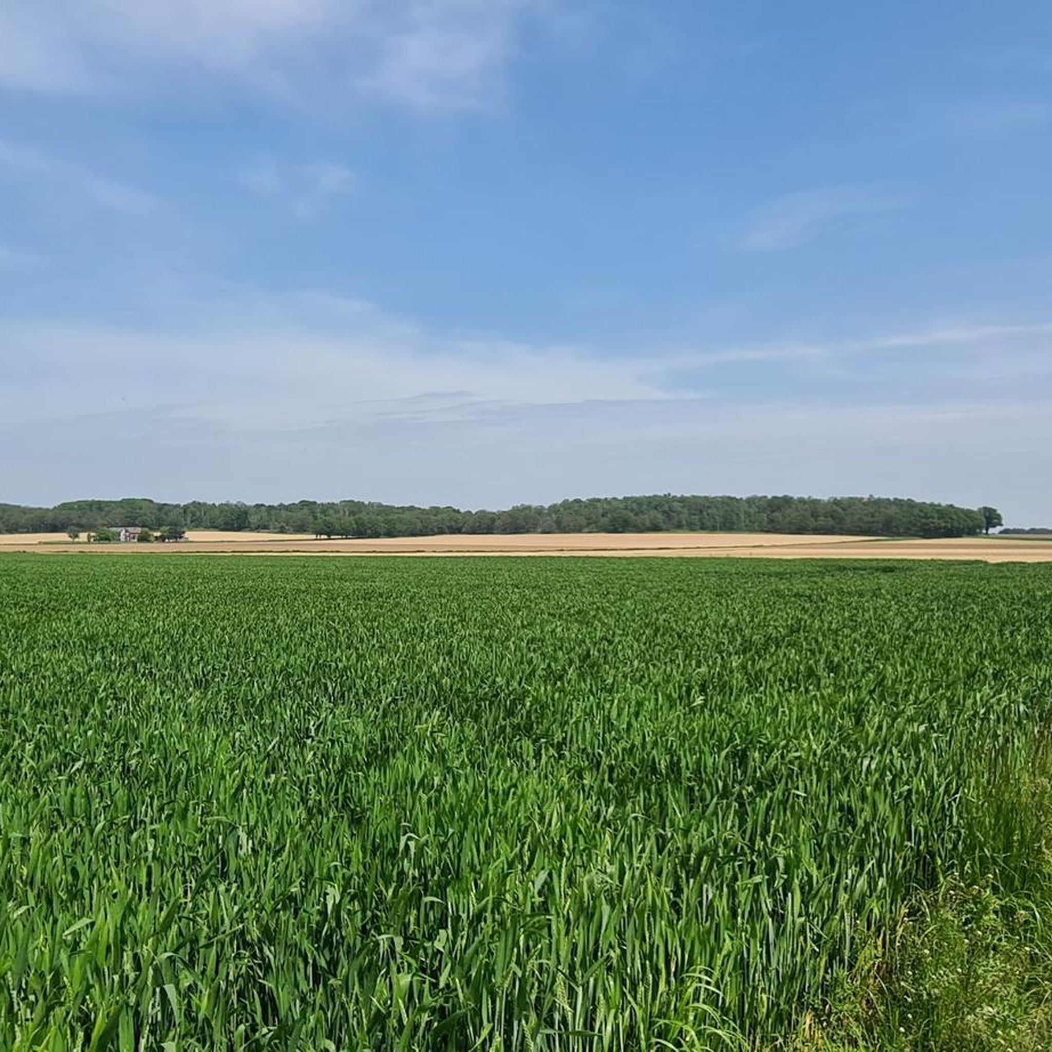
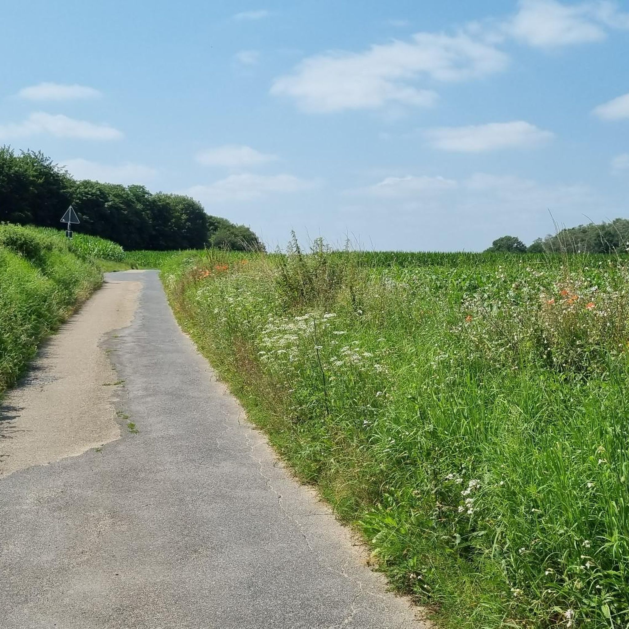
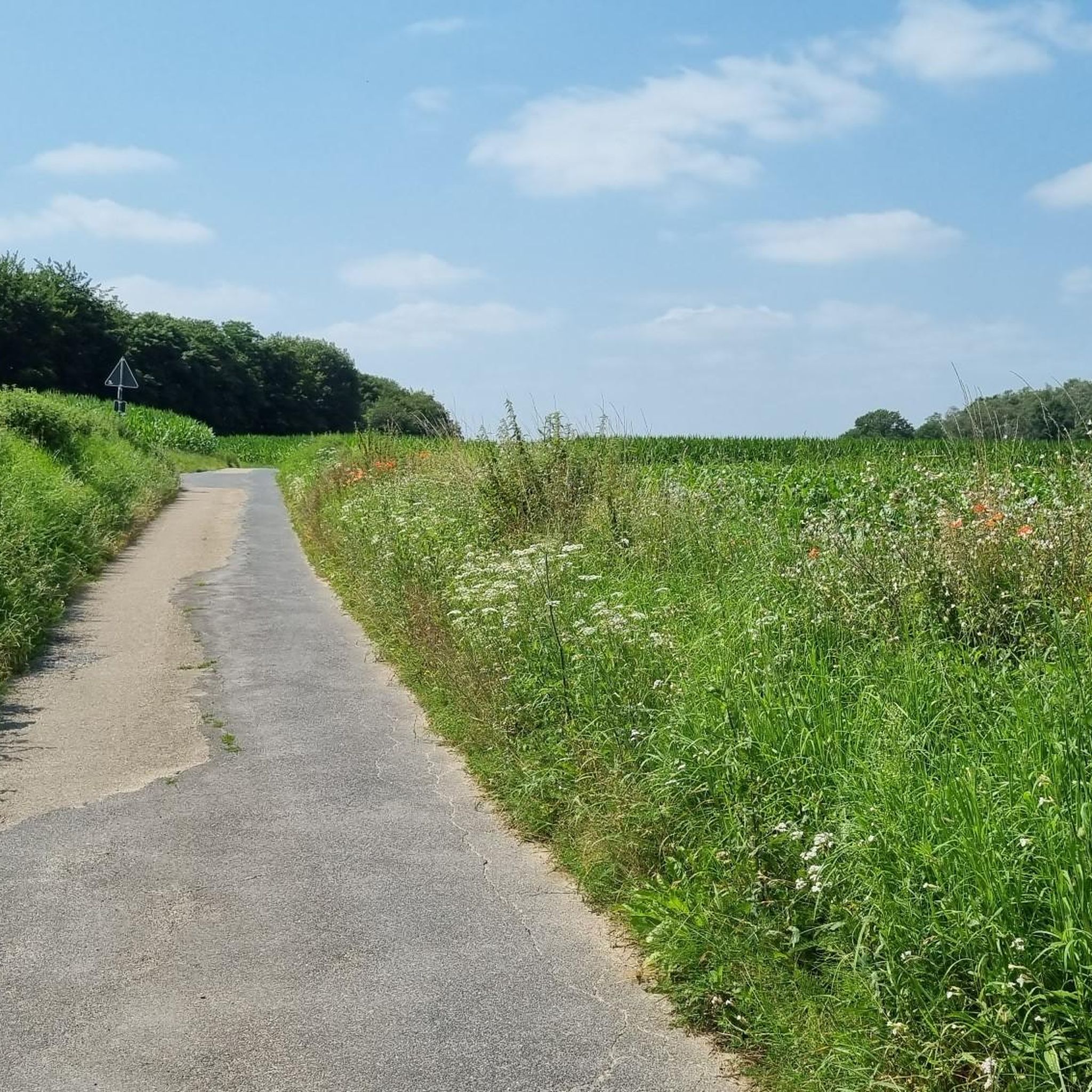
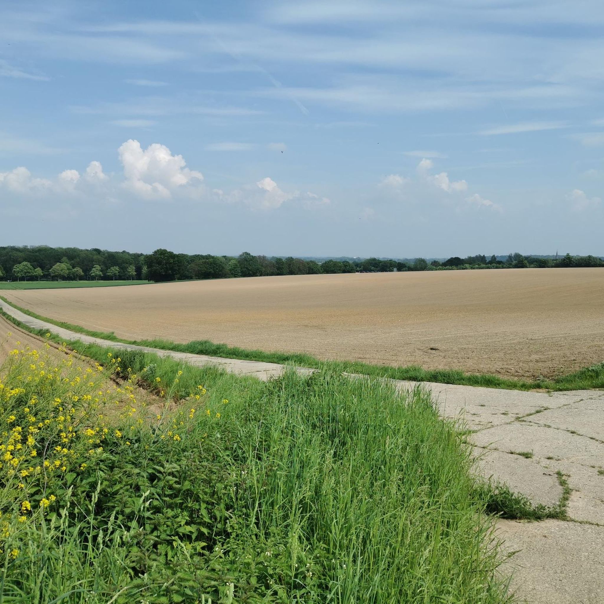
Road cycling routes in Schaephuysener Höhen traverse a distinct elongated ridge, a unique elevation in the otherwise flat Lower Rhine area. This region features rolling terrain with elevation differences up to 30 meters, providing varied cycling conditions. The network primarily consists of asphalt and concrete slab roads, many of which are closed to through traffic, ensuring quieter rides. The Saelhuyser Berg, at 80 meters above sea level, marks a notable high point within the area.
Best road cycling routes in…
Last updated: July 10, 2026
4.5
(2)
36
riders
Moderate road ride. Good fitness required. Some segments of this route may be unpaved and difficult to ride.
5.0
(1)
24
riders
59.4km
02:24
160m
160m
Moderate road ride. Good fitness required. Mostly well-paved surfaces and easy to ride.

Sign up for free
5.0
(1)
23
riders
53.4km
02:14
180m
180m
Moderate road ride. Good fitness required. Mostly well-paved surfaces and easy to ride.
4.5
(2)
16
riders
41.6km
01:36
90m
90m
Easy road ride. Great for any fitness level. Mostly well-paved surfaces and easy to ride.
4.0
(1)
11
riders
29.2km
01:08
90m
90m
Easy road ride. Great for any fitness level. Mostly well-paved surfaces and easy to ride.
Get access to more routes and recommendations from other explorers.
Sign up for free
Already have an account?
Our route recommendations are based on thousands of hikes, rides, and runs completed by other people on komoot.
Start today with a free account
Your next adventure awaits.
Login or Signup

Tips from the Community

Worth seeing village, also with cobblestones - nothing for cyclists
0
0
Old border crossing in the Venlo Heath
0
0

"The current church building dates back to the early 15th century. The core has a late Gothic appearance, while the church tower is unmistakably Neo-Gothic. The church building originates from an early 15th-century church. The core has a late Gothic appearance, while the church tower is unmistakably Neo-Gothic. The parish church of St. Peter and Paul immediately captivates its visitors and is of historical significance for the entire Lower Rhine region. Interesting guided tours, filled with stories, reveal beautiful, sometimes hidden, details." https://www.niederrhein-tourismus.de/attraktion/st.-peter-und-paul-a7d292c910
2
0


In 1890, the tower was built in its current form; it is 63 meters high. The parish church is open to visitors before and after services. Tours can be booked through the local history society or the parish office.
14
0

Worthwhile destination, nice photo opportunity.
0
0

A good cycle path in terms of condition
1
0

A quick trip to the tourist information point to use the restroom...no problem, because the place is well-run and lined with various local animals. Just go in and enjoy everything it has to offer. The staff is friendly, too. It's worth 5 stars for me.
1
0
Frequently Asked Questions
How many road cycling routes are available in Schaephuysener Höhen?
There are nearly 500 road cycling routes available in Schaephuysener Höhen, offering a wide range of options for different skill levels and preferences. This includes 166 easy routes, 329 moderate routes, and a few more challenging options.
What kind of terrain can I expect when road cycling in Schaephuysener Höhen?
The Schaephuysener Höhen feature a distinct, elongated ridge formed by an Ice Age glacier, providing a unique elevation in the otherwise flat Lower Rhine area. You'll encounter rolling terrain with elevation differences up to 30 meters, offering engaging rides without being overly strenuous. The routes primarily consist of asphalt and concrete slab roads, many closed to through traffic, ensuring quieter rides. While some concrete sections can be bumpy, routes are often designed to avoid these for descents. The Saelhuyser Berg, at 80 meters above sea level, offers a notable climb and panoramic views.
Are there any beginner-friendly road cycling routes in Schaephuysener Höhen?
Yes, Schaephuysener Höhen offers numerous beginner-friendly road cycling routes. Many are described as 'easy bike rides' with mostly paved surfaces, suitable for all fitness levels. An example of an easy route is the Kempen Old Town – St. Thomas Church Stenden loop from Schaephuysen, which covers 41.8 km with an elevation gain of 89 meters.
What are some notable landmarks or natural features to see along the road cycling routes?
As you cycle through Schaephuysener Höhen, you can discover a variety of natural and historical features. The region is known for its narrow strip of deciduous forest, historical hollow paths (Hohlwege), and numerous peat pits (Torfkuhlen). You might also pass by historical sites such as the noble seat Haus Littard or the moated castle Bloemerheim. For specific points of interest, consider visiting the Tower Windmill Rheurdt or the Peace Oak (Planted 1871).
Are there any viewpoints offering panoramic views in Schaephuysener Höhen?
Yes, from various points along the ridge of the Schaephuysener Höhen, you can enjoy expansive panoramic views over the Lower Rhine landscape. A particularly notable spot is the Panorama Trail on Saelhuyser Berg, which is the highest point in the area at 80 meters above sea level.
What do other road cyclists enjoy most about road cycling in Schaephuysener Höhen?
The road cycling routes in Schaephuysener Höhen are highly rated by the komoot community, with an average score of 4.5 stars from over 330 reviews. Cyclists often praise the varied scenery, which includes deciduous forests and historical hollow paths, as well as the quiet asphalt and concrete slab roads, many of which are closed to through traffic, providing a peaceful riding experience.
Are there any circular road cycling routes available?
Yes, many of the road cycling routes in Schaephuysener Höhen are designed as circular loops, allowing you to start and end at the same point. An example is the popular Fleuthkulen Nature Reserve – House Langendonk Tower Ruin loop from Rheurdt, a moderate 54.2 km route.
Can I find routes that cross the border into the Netherlands?
Yes, the region's proximity to the Netherlands means you can find road cycling routes that extend across the border. For instance, the Netherlands Border 1000 m – Venlo Old Town loop from Rheurdt is a 53.4 km trail that takes you through the Lower Rhine landscape and towards the Dutch border.
Are there any routes that pass by lakes or nature reserves?
Absolutely. The Schaephuysener Höhen region is rich in natural beauty, including former meanders of the Rhine like the Littardkuhlen. You can explore routes such as the Border Crossing Tor 9 Memorial – Krickenbeck Lakes loop from Rheurdt, which offers varied scenery including lakes.
What is the best time of year for road cycling in Schaephuysener Höhen?
The Schaephuysener Höhen are generally pleasant for road cycling from spring through autumn. The rolling terrain and varied landscapes are particularly beautiful when the deciduous forests are in full leaf or displaying autumn colors. While winter cycling is possible, be mindful of potential weather conditions and colder temperatures.
Are there options for shorter road cycling tours?
Yes, if you're looking for a shorter ride, there are several options available. For example, the Stenden Mill – St. Thomas Church Stenden loop from Rheurdt is an easy 29.1 km route that can be completed in about 1 hour 8 minutes, offering a pleasant experience without requiring a full day.
Most popular routes in Schaephuysener Höhen
Most popular attractions in Schaephuysener Höhen

Get inspired with the komoot mobile app


Explore more
Browse the best Road cycling routes in other regions.
