The best walks and hikes in Weerter- En Budelerbergen
4.3
(6228)
32,207
hikers
53
hikes
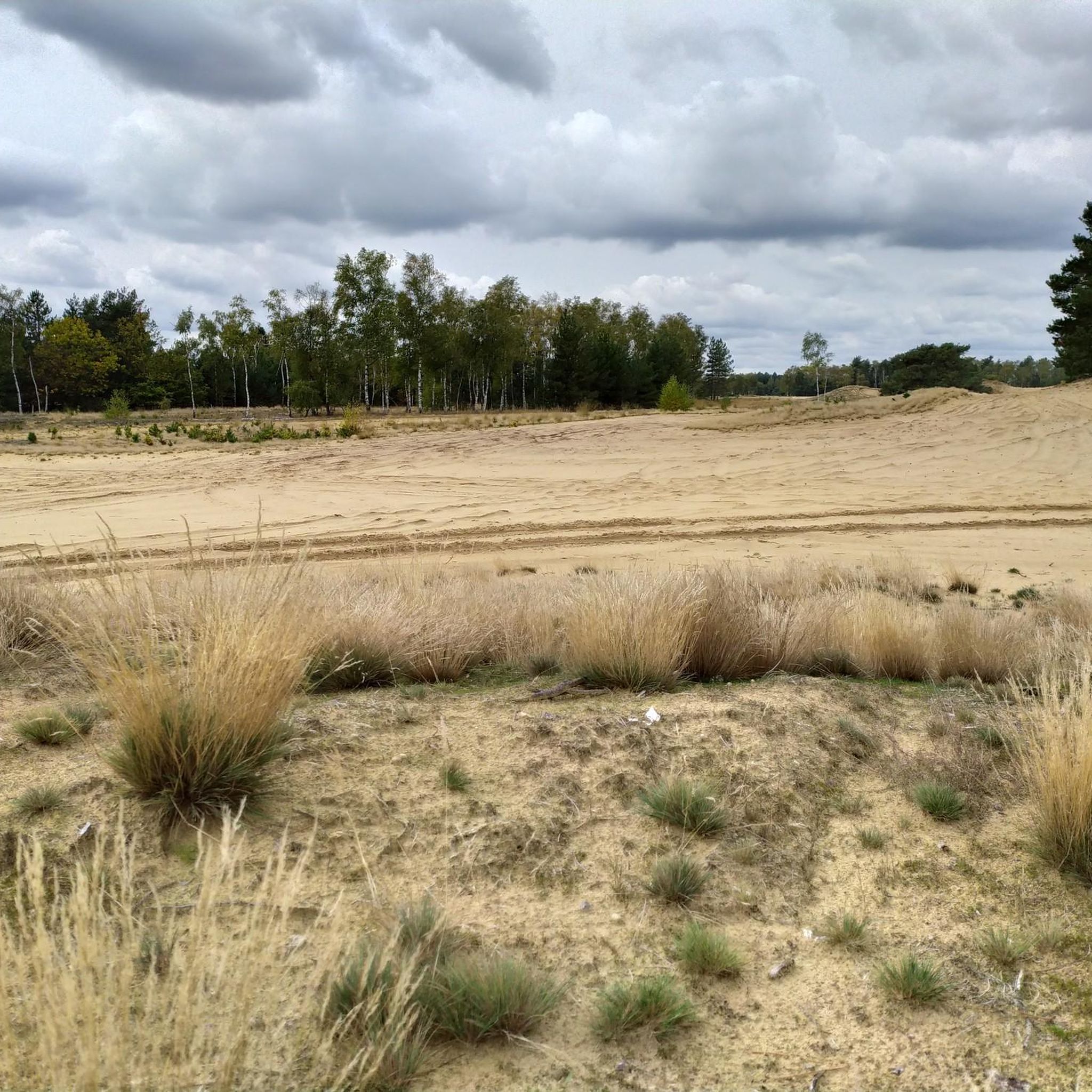
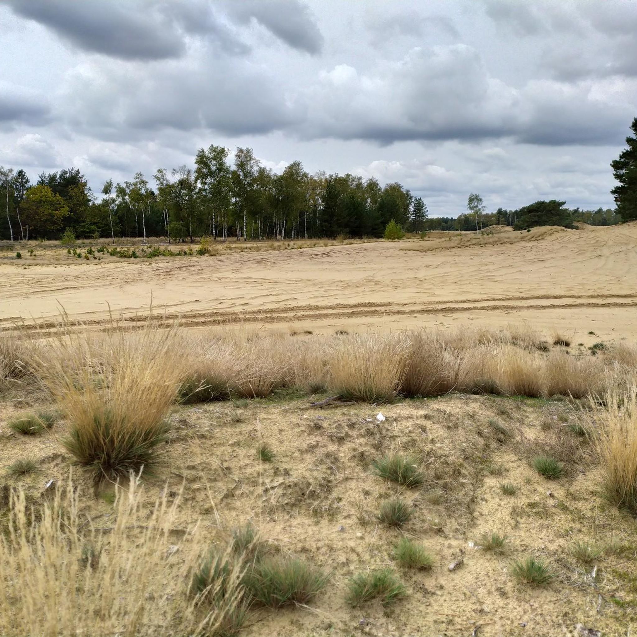
Hiking in Weerter- En Budelerbergen offers diverse natural landscapes, including vast pine and coniferous forests, expansive heathlands, dynamic sand drifts, and tranquil fens and moors. This region, spanning 912 hectares, is part of the Natura 2000 network, highlighting its ecological importance and unique geological features like ancient sand dunes. The terrain is generally gently rolling, making it accessible for a wide range of visitors. The area also features historical elements such as an ancient urn field and burial mounds on…
Last updated: October 7, 2026
4.6
(42)
128
hikers
4.86km
01:14
10m
10m
Easy hike. Great for any fitness level. Easily-accessible paths. Suitable for all skill levels.
4.4
(30)
209
hikers
Moderate hike. Good fitness required. Easily-accessible paths. Suitable for all skill levels.

4.2
(23)
68
hikers
Easy hike. Great for any fitness level. Easily-accessible paths. Suitable for all skill levels.
4.0
(15)
55
hikers
Moderate hike. Good fitness required. Easily-accessible paths. Suitable for all skill levels.
4.3
(9)
85
hikers
Easy hike. Great for any fitness level. Easily-accessible paths. Suitable for all skill levels.
Get access to more routes and recommendations from other explorers.
Already have an account?
Our route recommendations are based on thousands of hikes, rides, and runs completed by other people on komoot.
Start today with a free account
Your next adventure awaits.

Tips from the Community

The Boshoverheide is a nature reserve of more than 200 hectares with an extensive and well-preserved urnfield from the late Bronze Age. The varied heathland can be explored on hiking trails and borders directly on the Loozerheide as well as the Weerter and Budelerberge.
39
0
Beneath the sandy soil and between the pine trees lies a testament to past times. Around 3,000 years ago, people erected burial mounds here over the cremated deceased. Over several centuries, this created an extensive burial ground, where it is estimated that more than 3,000 people were buried.
44
0

If you'd like a bite to eat or a coffee before or after your walk, cross the railway line and walk to the Weerterbergen holiday park. Parking is also readily available here.
0
0
Easy parking just before the railway crossing. There's also a large parking lot for hikers just before this.
0
0

Beautiful holiday park with indoor swimming pool
0
0

Parking lot to Urnenveld Loozerheideweg, 6002 ST Weert, Netherlands GPX coordinates: 51.24940, 5.65208
3
0
Trancheeweg 22, 6002 ST Weert Pancake House van Horne Hoeve is located on the edge of the Kempenbroek nature reserve "Weerter- en Budelerbergen" and is therefore the perfect starting point for numerous walking, cycling and horse riding routes that run through the area. You can find our opening hours on Google. They change regularly because we take the weather into account, so always check if we are open. We love it when you make a reservation! Call us on +31 (0)495 – 58 75 91 or +31 (0) 6 4533 7505. Monday: Closed Tuesday: Closed Wednesday: Closed Thursday: Closed Friday: Closed Saturday: 12:00–20:00 Sunday: 12:00–20:00 Source: https://www.vanhornehoeve.nl/
0
0
Frequently Asked Questions
What kind of terrain can I expect when hiking in Weerter- En Budelerbergen?
Weerter- En Budelerbergen offers a diverse landscape, featuring extensive coniferous forests, open heathlands, dynamic sand dunes (also known as sand drifts), and serene fens. This variety provides hikers with constantly changing scenery and different types of trails, from sandy paths to more wooded areas.
Are there hiking trails suitable for all skill levels in Weerter- En Budelerbergen?
Yes, the region provides a wide array of hiking options for various fitness levels. You'll find 29 easy routes, 15 moderate routes, and 3 more challenging trails, ensuring there's something for everyone.
What makes the landscape of Weerter- En Budelerbergen unique?
The area is particularly known for its ancient sand dunes, which have a long history of activity and are among the best-researched in the Netherlands. The presence of expansive heathlands, fens, and its status as a Natura 2000 area for bird protection also contribute to its distinct ecological value.
Are there any historical sites to explore while hiking in the area?
Absolutely. The Boshoverheide, located in the southern part of the reserve, is home to archaeologically significant objects, including one of Europe's largest burial mound areas and an urn field dating from the Late Bronze Age to the Middle Iron Age. You can explore this history on routes like the Boshoverheide Urnfield – Boshoverheide Burial Mounds loop from Boshoverheide.
What natural features can I see along the trails?
Hikers can encounter a variety of natural features, including the unique sand drifts, tranquil fens, and expansive heathlands. The area is also part of the Natura 2000 network, making it an important bird area where you might spot species like the nightjar or skylark. The nearby De IJzeren Man nature reserve also offers a lake and more varied natural experiences.
Are there any specific points of interest or landmarks in Weerter- En Budelerbergen?
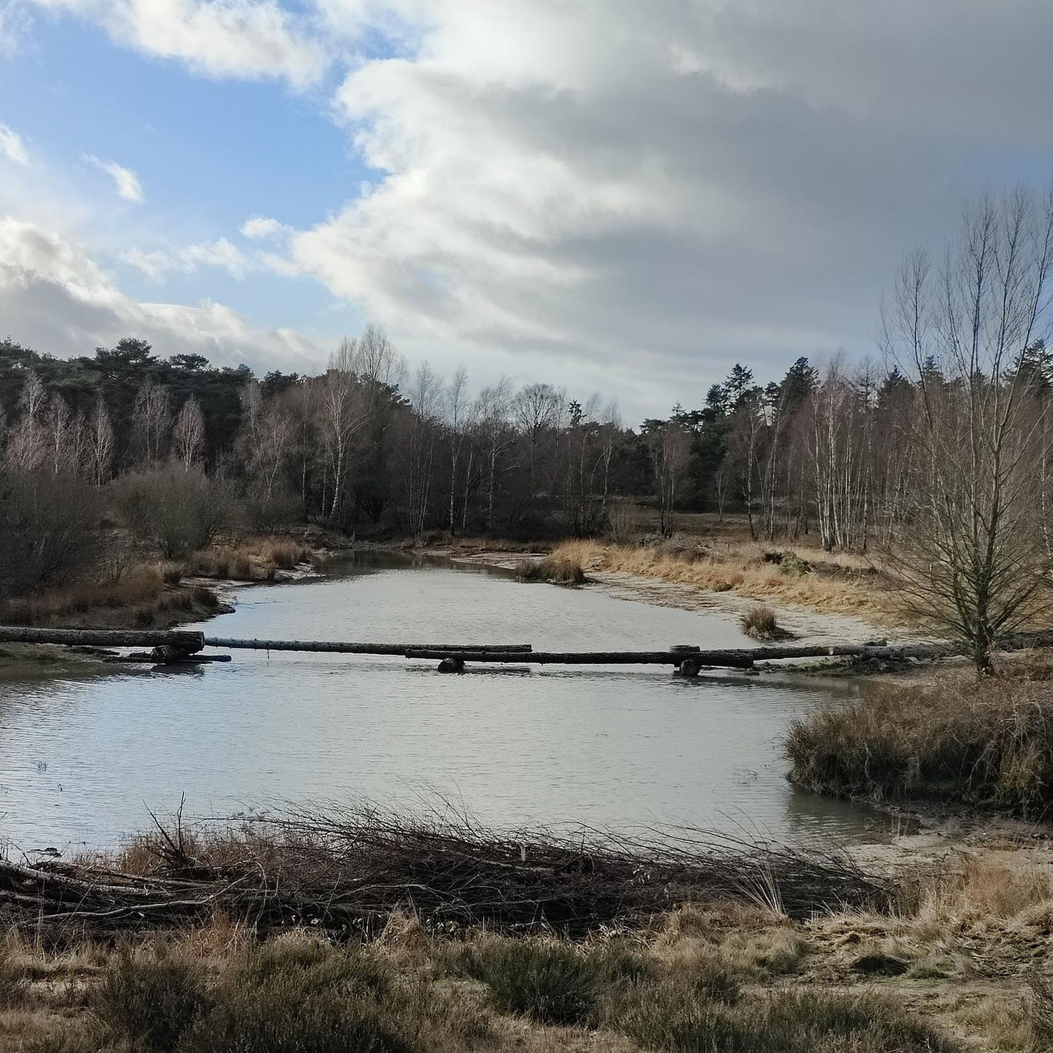
Yes, beyond the natural beauty, you can find points of interest such as the poignant Tree trunks (makeshift bridge), which commemorates Martijn Rosier. The Van Horne Hoeve offers facilities like a playground and restaurant, and you might also spot remnants of the IJzeren Rijn Railway.
Are there many circular hiking routes available?
Yes, many of the hiking routes in Weerter- En Budelerbergen are designed as circular walks, allowing you to start and end at the same point. For example, the Little Blue Lake – De Weerterbeek loop from Boshoverheide is a popular moderate circular trail.
Are the hiking trails in Weerter- En Budelerbergen suitable for families with children?
Many of the trails, particularly the 29 easy routes, are well-suited for families. The varied landscapes, including sand dunes and forests, offer an engaging environment for children to explore. The Boshoverheide Burial Mounds – Boshoverheide Urnfield loop from Weerter- en Budelerbergen is an easy option that combines nature with historical discovery.
Can I bring my dog on the hiking trails?
Weerter- En Budelerbergen is generally dog-friendly, but it's always recommended to keep dogs on a leash, especially in nature reserves and areas with wildlife, or where livestock may be present. Please check local signage for specific rules in certain sections.
Is there parking available for hikers?
Yes, there are designated parking areas for hikers. One such location is highlighted as Parking within the region, providing convenient access to the trails.
What do other hikers enjoy the most about hiking in Weerter- En Budelerbergen?
The area is highly rated by the komoot community, with an average score of 4.3 stars from over 1700 reviews. Reviewers often praise the diverse natural landscapes, the peaceful atmosphere, and the well-maintained paths that lead through forests, heathlands, and unique sand drifts.
How can I reach Weerter- En Budelerbergen by public transport?
While the area is primarily accessed by car, public transport options to nearby towns like Weert are available. From there, local buses or a short taxi ride might be necessary to reach specific trailheads. It's advisable to check current public transport schedules for the most up-to-date information.
Most popular routes in Weerter- En Budelerbergen
Most popular attractions in Weerter- En Budelerbergen

Get inspired with the komoot mobile app


Explore more
Browse the best Hikes in other regions.
