The best walks and hikes around Hohenaltheim
4.7
(54)
173
hikers
30
hikes
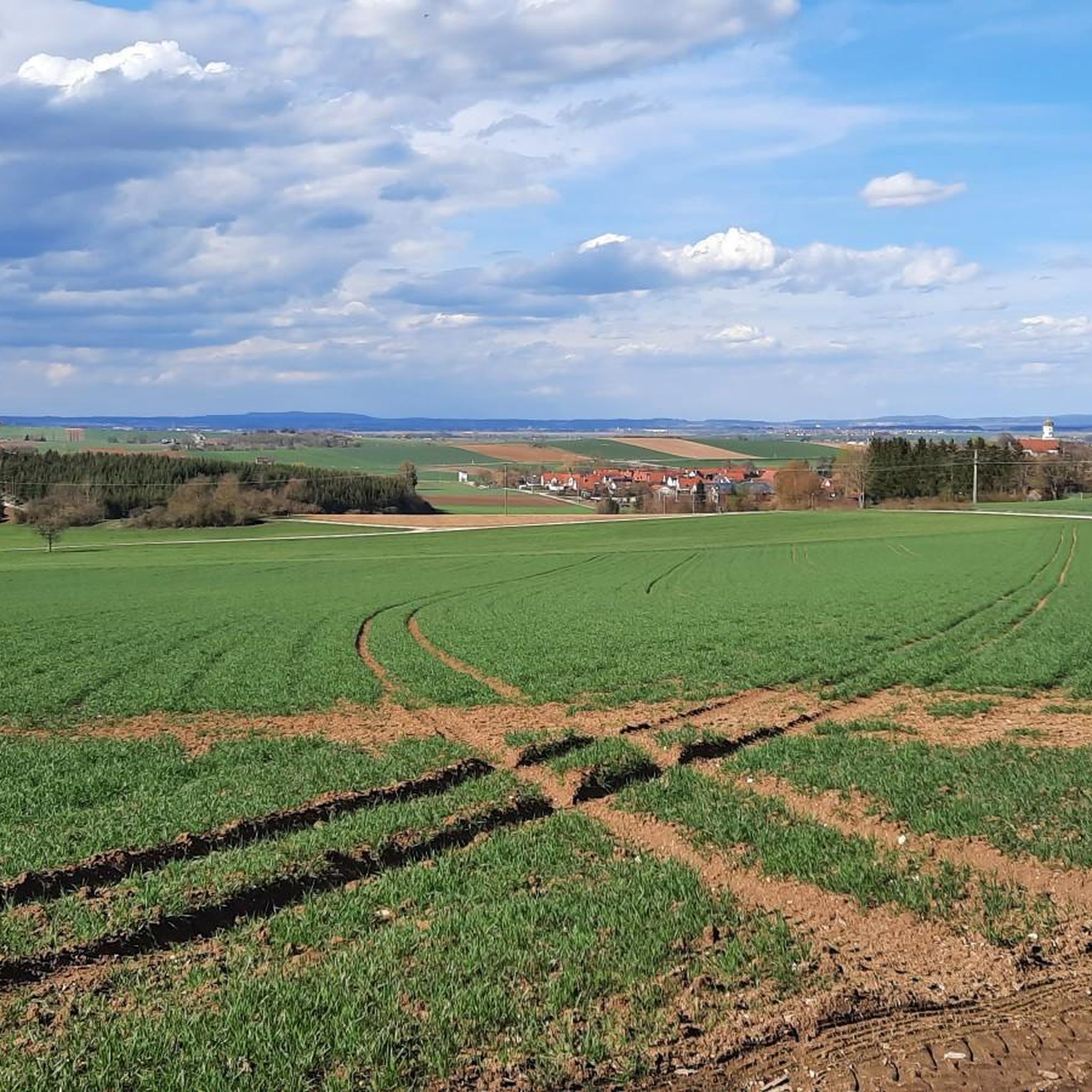
Hiking around Hohenaltheim offers access to the diverse landscapes of the Swabian Jura, characterized by rolling hills, green meadows, and dense forests. The region features geological remnants of nearly 400 former volcanic eruptions, visible as distinct rock formations. The Albtrauf, a significant escarpment, provides unique botanical and scenic characteristics. This terrain offers varied hiking experiences, from gentle paths to more challenging routes.
Best hiking trails around Hohenaltheim
- The most popular hiking route is Grotto at Ursprungsweiher – Hungerbrunnen Spring loop…
Last updated: September 29, 2026
4.8
(16)
37
hikers
6.89km
01:52
100m
100m
Easy hike. Great for any fitness level. Easily-accessible paths. Suitable for all skill levels.
4.4
(5)
15
hikers
Hard hike. Very good fitness required. Mostly accessible paths. Sure-footedness required.

5.0
(3)
14
hikers
Moderate hike. Good fitness required. Easily-accessible paths. Suitable for all skill levels.
2
hikers
Easy hike. Great for any fitness level. Easily-accessible paths. Suitable for all skill levels.
4.0
(2)
6
hikers
9.86km
02:43
170m
170m
Moderate hike. Good fitness required. Easily-accessible paths. Suitable for all skill levels.
Get access to more routes and recommendations from other explorers.
Already have an account?
Our route recommendations are based on thousands of hikes, rides, and runs completed by other people on komoot.
Start today with a free account
Your next adventure awaits.
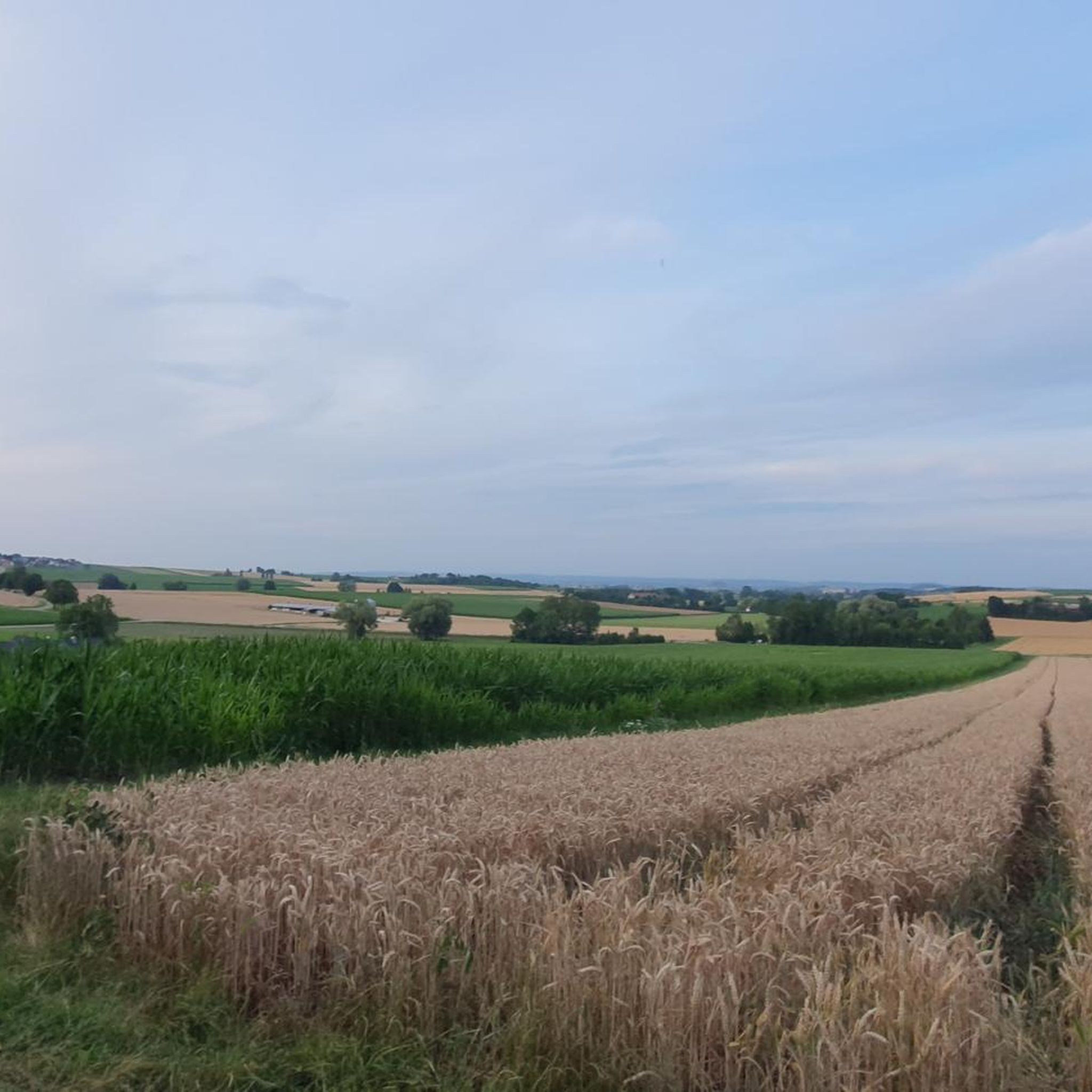
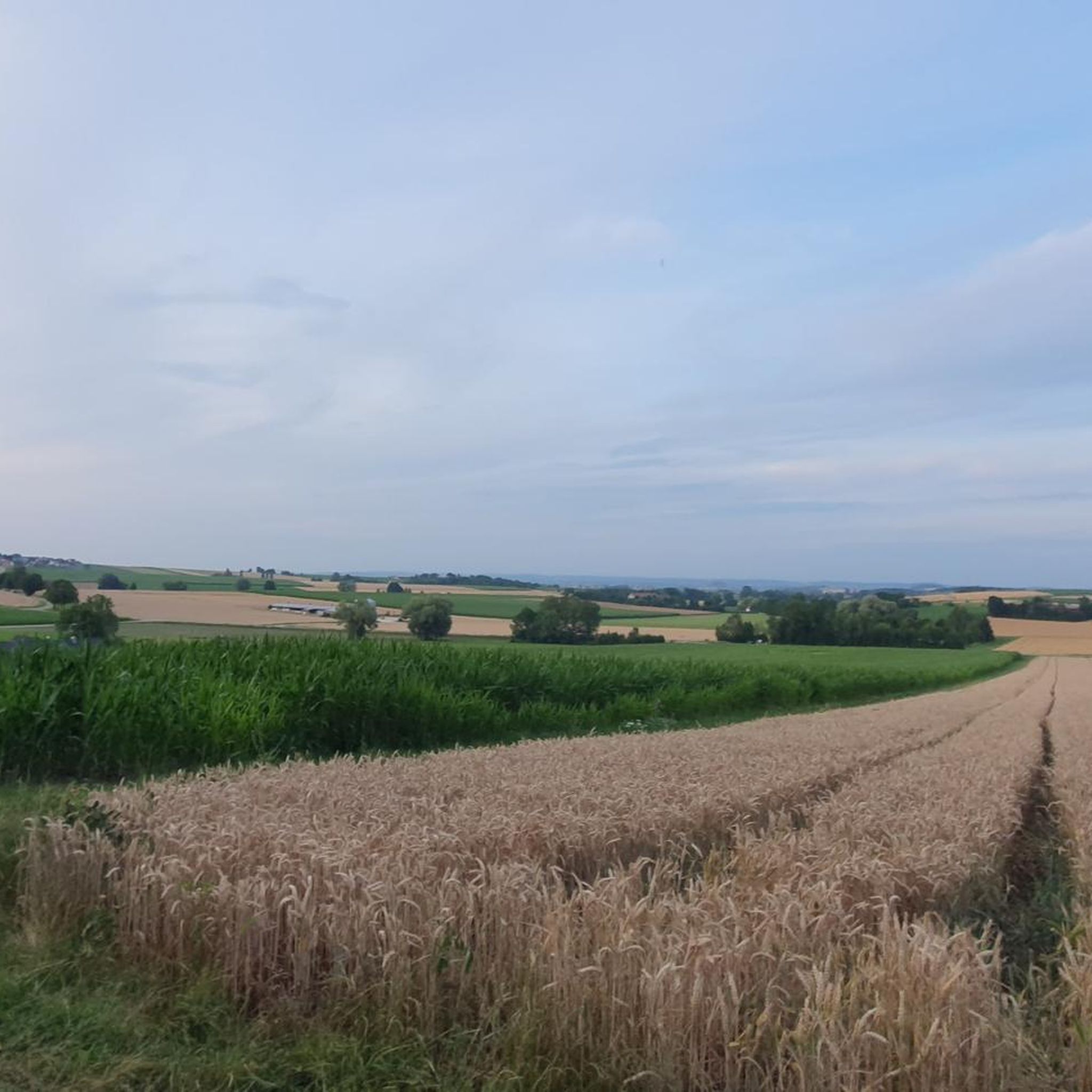
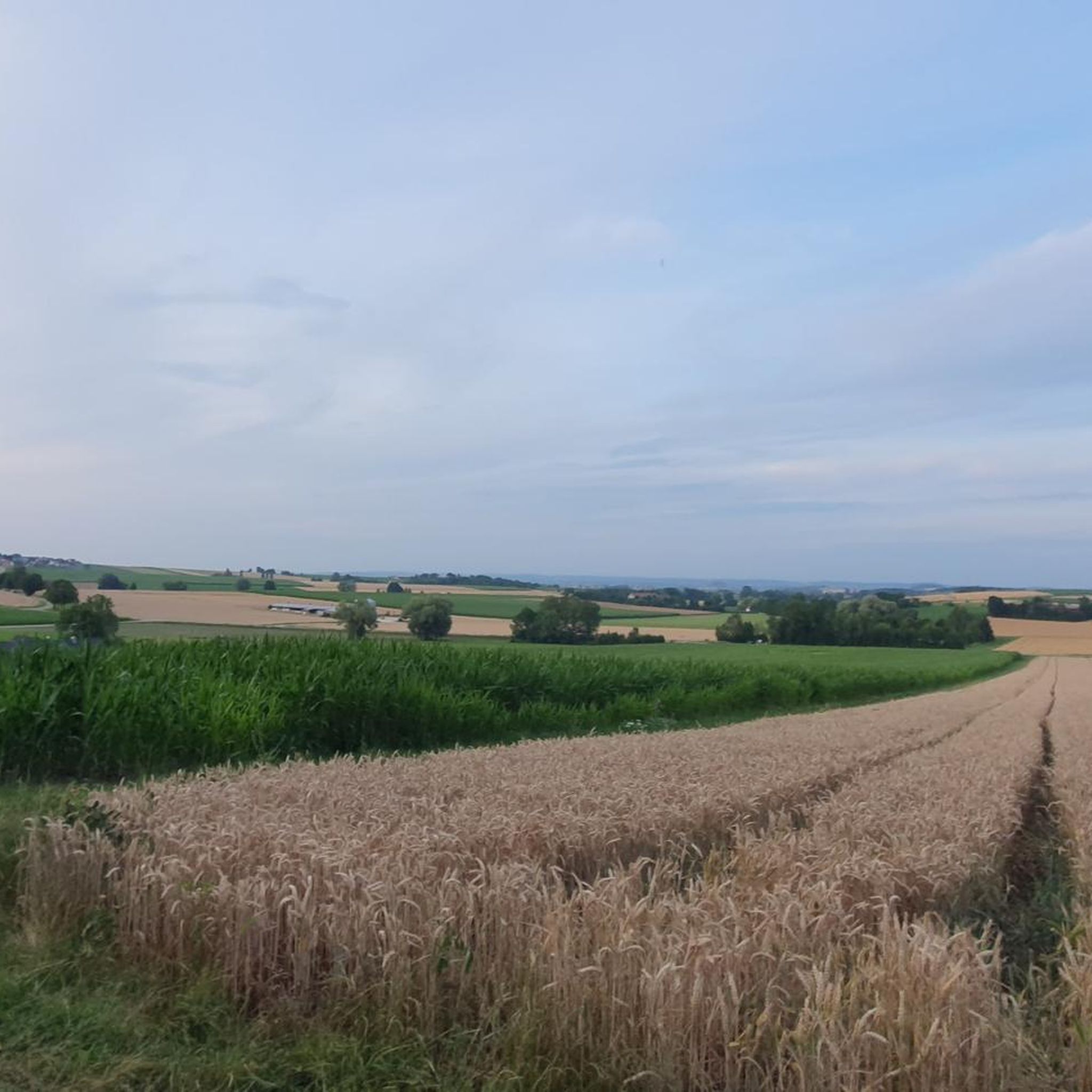
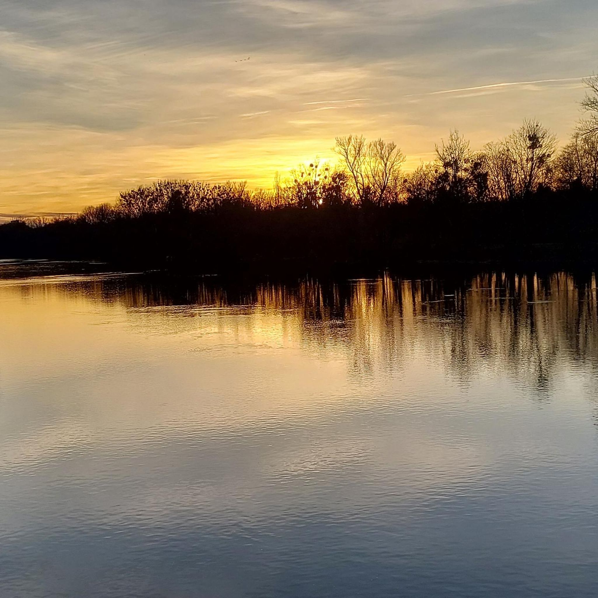
Tips from the Community

The complex was excavated, conserved, and made accessible to the public between 1975 and 1981. The manor farm was presumably built in the 2nd century AD (approx. 150–260 AD) by Roman veterans in the province of Raetia. In addition to the 290 m² main room, five other structures were discovered, including a bathhouse and parts of the surrounding wall. The entire complex covers approximately 560 m² and had space for about 50 people (including servants).
0
0

Niederhaus and Hochhaus Castle Ruins: The masonry of the Niederhaus ruin is alive. Ferns and some endangered flowering plants like Dyer's Weld grow here, as well as breeding grounds for rare birds of prey and owls. The Edelfreien von Hürnheim built 3 castles in the Kartäusertal valley at the same time. Castle Niederhaus was built as the ancestral seat and occupied around 1236. After the family split into 3 lines, they were called "Edle von Hürnheim-Niederhaus" here. The second family branch called themselves "Edle von Hürnheim-Hochhaus" and occupied Hochhaus Castle, located southwest on the opposite mountain spur. The third line – "Edle von Hürnheim-Rauhaus" – occupied Castle Rauhaus above the slope north of Christgarten.
0
0
Niederhaus and Hochhaus Castle Ruins: The masonry of the Niederhaus ruin is alive. Ferns and some endangered flowering plants such as Dyer's Weld grow here, as well as a breeding ground for rare kites and owls. The Edelfreien von Hürnheim built 3 castles in the Kartäusertal valley at the same time. Castle Niederhaus was built as the ancestral seat and occupied around 1236. After the family split into 3 lines, they called themselves "Edle von Hürnheim-Niederhaus" here. The second family branch called themselves "Edle von Hürnheim-Hochhaus" and occupied Hochhaus Castle, located southwest on the opposite mountain spur. The third line – "Edle von Hürnheim-Rauhaus" – occupied Rauhaus Castle above the slope north of Christgarten.
0
0
Kloster Christgarten: The settlement of Christgarten has existed since Merovingian times. In the Middle Ages, it included a St. Peter's Chapel, last mentioned in 1692. Nearby, the Counts of Oettingen founded a monastery in 1383, which they handed over to the Carthusian Order. The monastery church was built around 1390. The monastery, which soon became very wealthy, was severely destroyed during the Thirty Years' War and dissolved in 1648. Today, only the monks' choir of the church remains, while the part for laypeople has been almost completely demolished. Little has survived of the monastery itself, apart from a hall-like room south of the choir, whose outer walls are still standing.
0
0

A trail from the hiking path leads to the cave. If it rains heavily, an area just before it becomes slippery. The descent can therefore be associated with an obstacle.
0
0

Great view of the castle, which is reflected in the pond
0
0
From here you have a beautiful view of the castle, which is also wonderfully reflected in the small pond.
0
0
Dead trees, which are located in the middle of the pond. Fantastic sight
0
0
Frequently Asked Questions
How many hiking trails are available around Hohenaltheim?
There are over 25 hiking routes around Hohenaltheim, offering a variety of experiences. This includes 9 easy, 13 moderate, and 5 more challenging trails, ensuring options for all fitness levels.
What kind of natural features can I expect to see on hikes near Hohenaltheim?
The region is characterized by the picturesque Swabian Jura, featuring rolling hills, green meadows, and dense forests. You'll also encounter unique geological formations from nearly 400 former volcanic eruptions, which have left behind bizarrely shaped rocks. The Grotto at Ursprungsweiher – Hungerbrunnen Spring loop from Hohenaltheim, for example, explores local springs and natural grottoes.
Are there any family-friendly hiking routes in Hohenaltheim?
Yes, Hohenaltheim offers several easy routes suitable for families. The Grotto at Ursprungsweiher – Hungerbrunnen Spring loop from Hohenaltheim is an easy 6.9 km trail that takes under two hours to complete, perfect for a family outing to explore natural springs.
Can I bring my dog on the hiking trails around Hohenaltheim?
Most hiking trails around Hohenaltheim are dog-friendly. It's generally recommended to keep dogs on a leash, especially in nature reserves or areas with wildlife, to ensure their safety and respect for other hikers and local fauna. Always carry water for your dog and dispose of waste properly.
Are there any circular hiking routes available?
Yes, many routes around Hohenaltheim are designed as loops. For instance, the Christgarten Monastery Church – Hochhaus Castle Ruins loop from Hohenaltheim is a moderate 12.6 km circular trail that takes you through historical sites and natural landscapes.
What historical landmarks or attractions can I visit while hiking?
Beyond Hohenaltheim's own St. Georg church and Hohenaltheim Castle, you can explore several historical sites. The Christgarten Monastery Church – Hochhaus Castle Ruins loop takes you past the Hochhaus Castle Ruins. Further afield, consider visiting the medieval Harburg Castle or the well-preserved city wall of Nördlingen Old Town, where you can walk along the wall itself.
What is the best time of year to go hiking in Hohenaltheim?
The spring, summer, and early autumn months (April to October) generally offer the most pleasant conditions for hiking in Hohenaltheim. During these seasons, the weather is milder, and the natural landscapes are at their most vibrant, making for enjoyable walks through forests and meadows.
Are there any long-distance hiking trails accessible from Hohenaltheim?
Hohenaltheim is situated near significant long-distance trails. The famous Romantic Road passes through the region, and the challenging Swabian Jura North Rim Trail (HW1), also known as the Albsteig, has a stage from Mönchsdeggingen to Bopfingen that passes close by, offering extensive hiking opportunities.
Where can I find parking or public transport options for trailheads?
Specific parking information varies by trailhead, but many popular starting points for hikes around Hohenaltheim offer designated parking areas. For public transport, local bus services connect Hohenaltheim with surrounding towns, which may provide access to certain trailheads. It's advisable to check local transport schedules for the most up-to-date information.
What do other hikers say about the trails in Hohenaltheim?
The hiking routes in Hohenaltheim are highly rated by the komoot community, with an average score of 4.7 stars from over 40 reviews. Hikers often praise the diverse terrain, from rolling hills to unique volcanic rock formations, and the well-maintained paths that lead to natural grottoes and historical sites.
Are there any routes that offer views of the Nördlinger Ries?
Yes, some trails provide excellent views of the Nördlinger Ries, a large impact crater. The View of the Ries – Nördlingen Transmission Tower loop from Hohenaltheim is a moderate 8.8 km route specifically designed to offer panoramic vistas of this unique geological feature.
Most popular routes around Hohenaltheim
Most popular attractions around Hohenaltheim

Get inspired with the komoot mobile app


Explore more
Browse the best Hikes in other regions.
