The best walks and hikes in Molenheide
4.4
(4976)
22,257
hikers
1,021
hikes
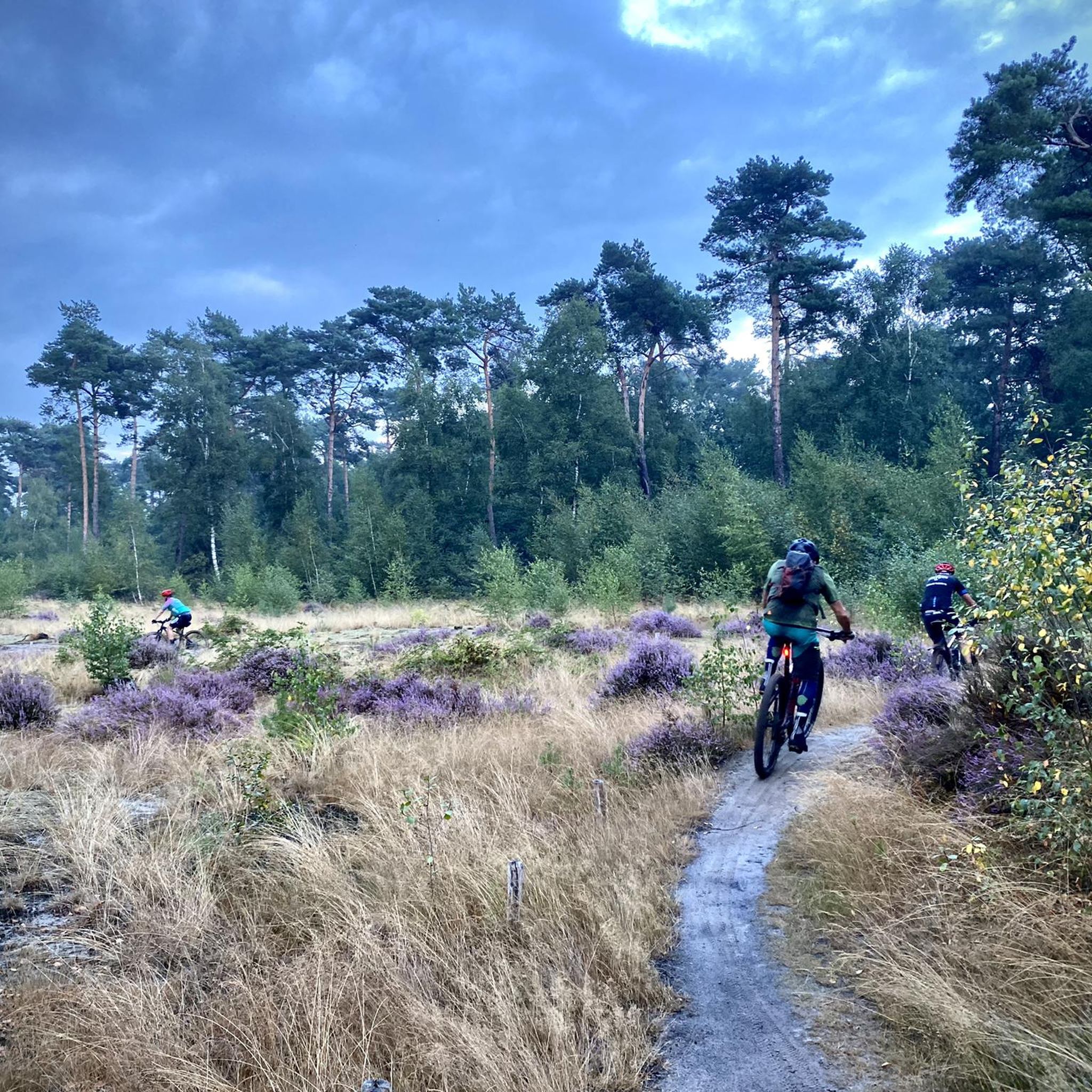
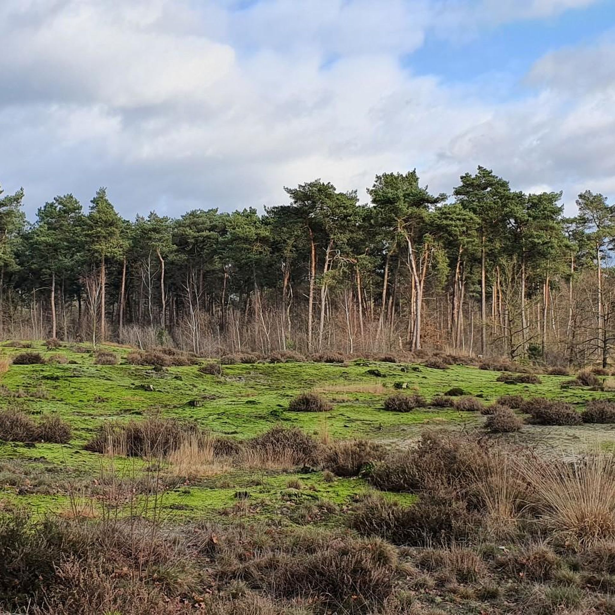
Hiking trails in Molenheide traverse a diverse landscape featuring coniferous and deciduous forests, expansive heathlands, and fens. The region's topography includes continental dunes, which have been transformed into open spaces through nature restoration projects. This varied terrain offers multiple environments for hikers to explore within a single outing.
Best hiking trails in Molenheide
- The most popular hiking route is Molenheide in Ravels, a 4.8 miles (7.8 km) trail that takes 1 hour 57 minutes to complete, offering an easy…
Last updated: June 29, 2026
4.0
(10)
28
hikers
7.76km
01:57
10m
10m
Easy hike. Great for any fitness level. Easily-accessible paths. Suitable for all skill levels.
4.6
(8)
20
hikers
Moderate hike. Good fitness required. Easily-accessible paths. Suitable for all skill levels.

Sign up for free
4.0
(4)
28
hikers
Moderate hike. Good fitness required. Easily-accessible paths. Suitable for all skill levels.
4.9
(7)
15
hikers
4.75km
01:12
10m
10m
Easy hike. Great for any fitness level. Easily-accessible paths. Suitable for all skill levels.
4.0
(2)
10
hikers
5.51km
01:23
10m
10m
Easy hike. Great for any fitness level. Easily-accessible paths. Suitable for all skill levels.
Get access to more routes and recommendations from other explorers.
Sign up for free
Already have an account?
Our route recommendations are based on thousands of hikes, rides, and runs completed by other people on komoot.
Start today with a free account
Your next adventure awaits.
Login or Signup
Tips from the Community

one of the few flowers I found along the road today Sept25
0
0
Papschotven completely dry on 25.09.25 due to a low groundwater level
0
0
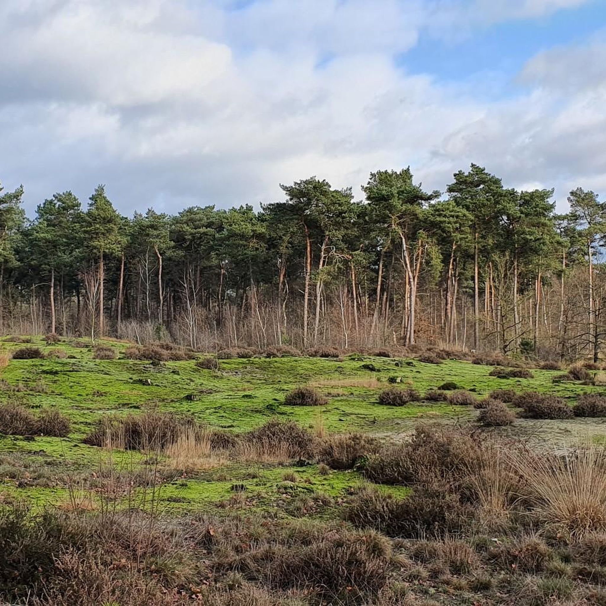
At the edge of the Papschotven fen lies an avenue of bizarrely shaped trees. Their trunks and branches grow not in straight lines, but rather in wild, twisted forms, giving the landscape a fairytale-like atmosphere. Through the trees, you have a view of the fen, which can fill with water during wet periods, but can disappear completely during dry spells. The combination of the winding trees and the open expanse of the fen makes this a unique and photogenic part of the Kempenland.
0
0
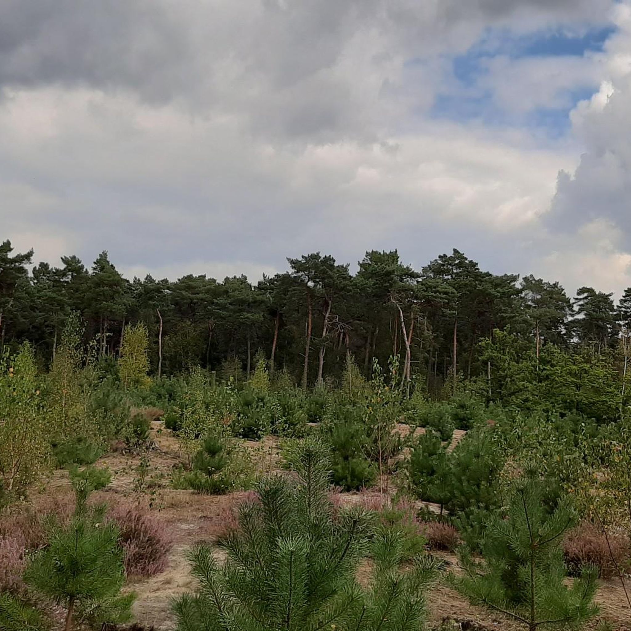
The Papschotven is normally a tranquil pool nestled in the woods and heathland of the Kempenland region. But during my walk, I encountered a different scene: the fen had dried up completely, with no trace of water visible. The empty fen left only sand and poor soil behind, a sign that the groundwater level here has dropped significantly. The wide paths around the fen lead through a landscape in flux. Wooded areas are being transformed, creating more open sand drifts and heathlands that reflect the region's ancient character. It feels like an area where nature is changing, partly due to human intervention and the changing climate. It is precisely this diversity that makes this place special: from open heathland to woodlands and the tranquil basin of the fen, now dry but once again forming a reflective fen in wetter times. This walk reveals how dynamic the landscape is here – sometimes surprising, sometimes confronting.
0
0
This walk through the Kempenland region demonstrates how nature development and restoration have received a new impetus in recent years thanks to the LIFE Nardus & Limosa project. This European project focuses on the conservation and restoration of valuable heathlands and wet grasslands, with a special focus on two species: the Nardus grasslands (with their unique, species-rich vegetation) and the Black-tailed Godwit (Limosa limosa), the iconic meadow bird that is emblematic of this landscape. During the walk, you'll experience how the area is slowly returning to a more open and varied landscape. Pine plantings are being removed to create space for heathland and sand drifts. Old fens and wet grasslands are being restored, giving nature greater resilience and allowing unique plants and animals to return. The wide paths lead you through forests undergoing transformation, past open heathlands, and areas where water and sand are reshaping the landscape. With a bit of luck, you'll see meadow birds, dragonflies, or other species benefiting from the restoration. This route demonstrates how nature management and cultural history intersect: the Kempenland region was once a land of poor sandy soils and vast heathlands. Thanks to projects like LIFE Nardus & Limosa, this unique landscape is regaining its former glory and being preserved for the future.
0
0

The Rovertkapel is a chapel near the Belgian town of Hulsel, northeast of Poppel and close to the Belgian-Dutch border. Here, near Border Post 209, the Rovertse Leij also flows into the Netherlands. From 1643 until just after 1672, a border church for the residents of Hilvarenbeek was located on the site of the chapel. It is a whitewashed square building with flattened corners and a baroque-looking dome. In the chapel is a painting by Sister Augustina da Porta, depicting the incident with the flock of sheep. Nowadays, the chapel is a resting place and a junction of various walking and cycling routes.
0
0

@frank: this is still the current border between the Netherlands and Belgium, so not the ‘former border’ as you write…
1
0
Frequently Asked Questions
What kind of landscapes can I expect to see while hiking in Molenheide?
Molenheide offers a remarkably diverse landscape, featuring a mosaic of coniferous and deciduous forests, expansive heathlands, and unique fens. You'll also encounter continental dunes, which have been restored to open spaces, providing a constantly changing and exciting environment for exploration.
Are there any family-friendly hiking options in Molenheide?
Yes, Molenheide has many easy trails suitable for families. For instance, the Molenheide in Ravels route is an easy 4.8-mile (7.8 km) trail that takes less than two hours to complete, perfect for a family outing. Another easy option is the Rest stop at the border – Papschotven loop from Rovertsche Heide, which is 3.6 miles (5.8 km) long.
Can I bring my dog on the hiking trails in Molenheide?
Molenheide is generally dog-friendly, offering many routes where dogs are welcome. However, specific rules may apply in certain nature reserves or protected areas, especially concerning wildlife. Always keep your dog on a leash and be mindful of local signage to ensure a pleasant experience for everyone and to protect the local fauna.
What are some notable natural features or attractions to look out for on the trails?
Hikers can explore the picturesque Molenheide Pond and various unnamed fens, which are tranquil spots and crucial habitats for diverse wildlife. The Boundary marker 209 is a historical point of interest, and the the Paradijs Bridge offers a scenic crossing. You might also spot Highland cattle grazing, which helps maintain the open landscapes.
Are there circular hiking routes available in Molenheide?
Yes, many of the trails in Molenheide are designed as circular routes, allowing you to start and end at the same point. An example is the LIFE Nardus and Limosa – Papschotven loop from Rovertsche Heide, a moderate 5.6-mile (9.0 km) path that winds through varied terrain, including tranquil fens.
What is the best time of year to go hiking in Molenheide?
Molenheide offers varied scenery throughout the seasons. Spring brings blooming flora, while autumn showcases vibrant deciduous forests. The fens and heathlands are beautiful year-round. For specific seasonal conditions or events, it's advisable to check local information closer to your visit.
How many hiking routes are available in Molenheide?
There are over 970 hiking routes available in Molenheide, catering to various fitness levels. This includes more than 620 easy routes, 330 moderate routes, and a smaller number of more challenging trails.
What do other hikers enjoy most about Molenheide?
The area is highly rated by the komoot community, with an average score of 4.4 stars from over 4600 reviews. Hikers often praise the diverse natural landscapes, including the unique fens and continental dunes, and the well-maintained paths that offer a mix of wide lanes and narrow forest trails.
Are there any specific parks or reserves within Molenheide that are good for hiking?
Duinenpark Molenheide (formerly Wild- en Wandelpark Molenheide) in Houthalen-Helchteren is a renewed park offering a varied landscape of open sand dunes, heathland, and woodland. It features specific hiking loops, such as a 2.6 km blue loop, designed to highlight the park's natural diversity. You can find more information about Duinenpark Molenheide on Visit Limburg.
What kind of wildlife can I expect to see in Molenheide?
Molenheide is rich in wildlife. Hikers have the chance to spot various species, including deer, birds of prey, and rare insects. The fens are particularly important habitats for dragonflies, green frogs, wrens, and blackcaps. Wild boars are also present in the area.
Are there any historical landmarks near the hiking trails?
Yes, the historic Heimolen windmill is located near Molenheide and offers a cultural landmark within the natural surroundings. Additionally, you can find the Roovert Chapel and Rovert Chapel, which are religious buildings of interest.
How long do hikes in Molenheide typically take?
Hike durations vary depending on the route and your pace. Many popular routes, like the Gizelaarsven and Memorial Stone – Path Along the Leij loop from Molenheide (5.1 miles / 8.2 km), can be completed in about 2 hours. Shorter, easy strolls might take less than an hour, while longer moderate routes could take up to 2.5 hours or more.
Most popular routes in Molenheide
Most popular attractions in Molenheide

Get inspired with the komoot mobile app


Explore more
Browse the best Hikes in other regions.
