Attractions and Places To See in Rammelaars - Top 15
Best attractions and places to see in Rammelaars include a diverse landscape characterized by low-lying, swampy areas and historical significance. This region features extensive swamp forests, flowery grasslands, and stream valleys, offering a glimpse into the Kempen's natural heritage. Rammelaars also holds traces of past economic activity, such as peat cutting and iron ore mining, which have since been reclaimed by nature. Visitors can explore marked hiking trails and observe water-loving plants and animals in this unique environment.
Best attractions…
Last updated: October 9, 2026
Nature House with Pond and Benches
Highlight • Mountain Hut
Translated by Google •
Tip by

De Rammelaars Nature Reserve
Highlight • Forest
Translated by Google •
Tip by
Sign up now to discover places like this
Get recommendations on the best single tracks, peaks, & plenty of other exciting outdoor places.
Old Iron Ore Mining Pit
Highlight • Historical Site
Be sure to take some time to take in the scenery.
Information board provides information about iron ore:
About 7 million years ago, the …
Translated by Google •
Tip by
Boardwalk Through the Swamp Forest
Highlight (Segment) • Trail
Translated by Google •
Tip by

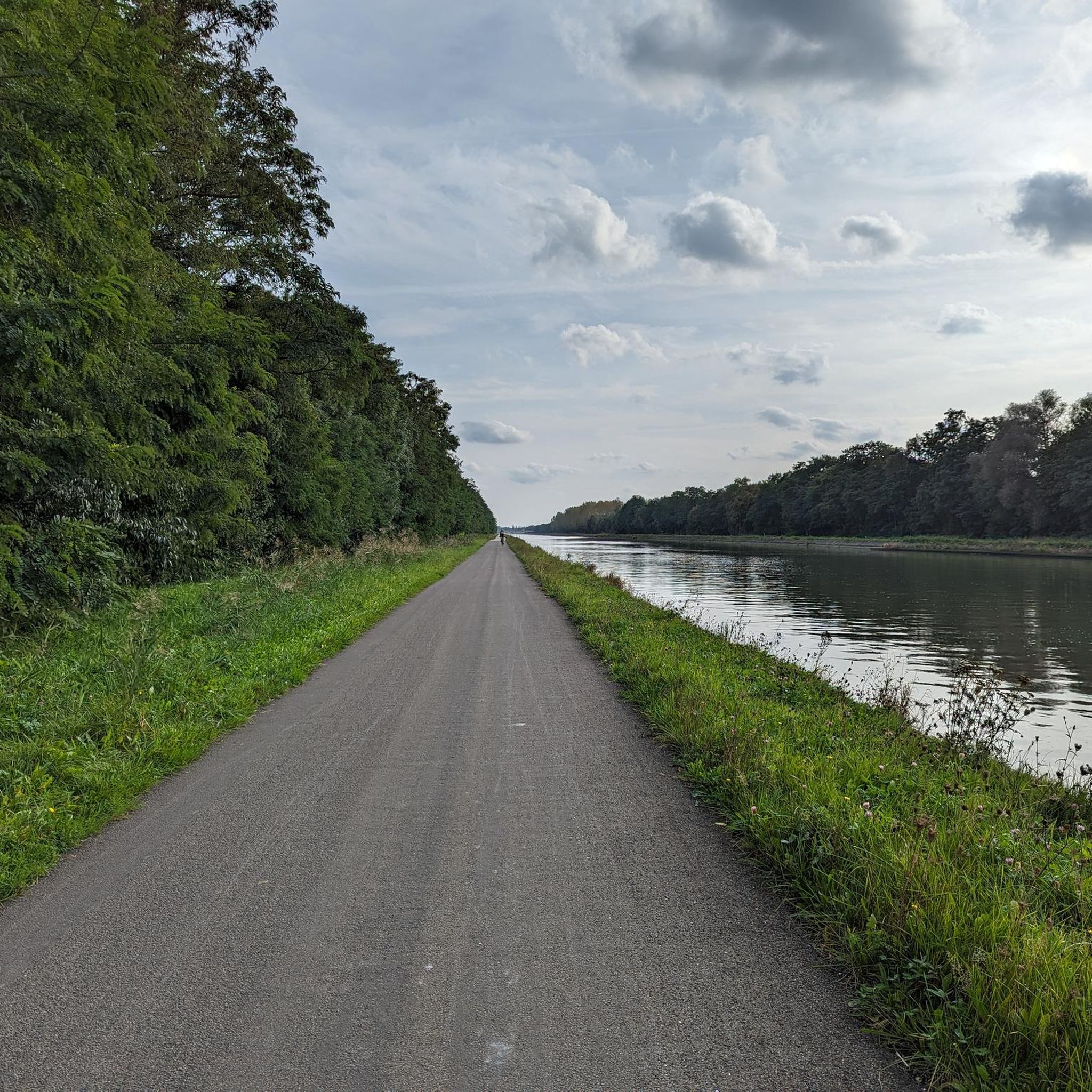
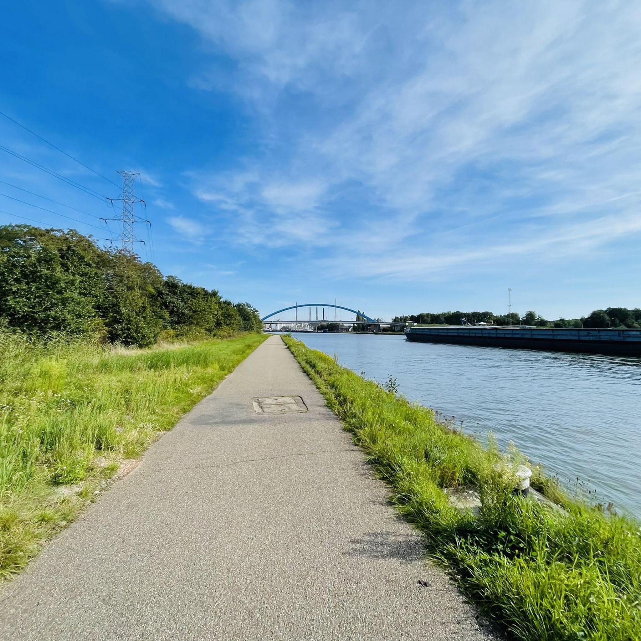
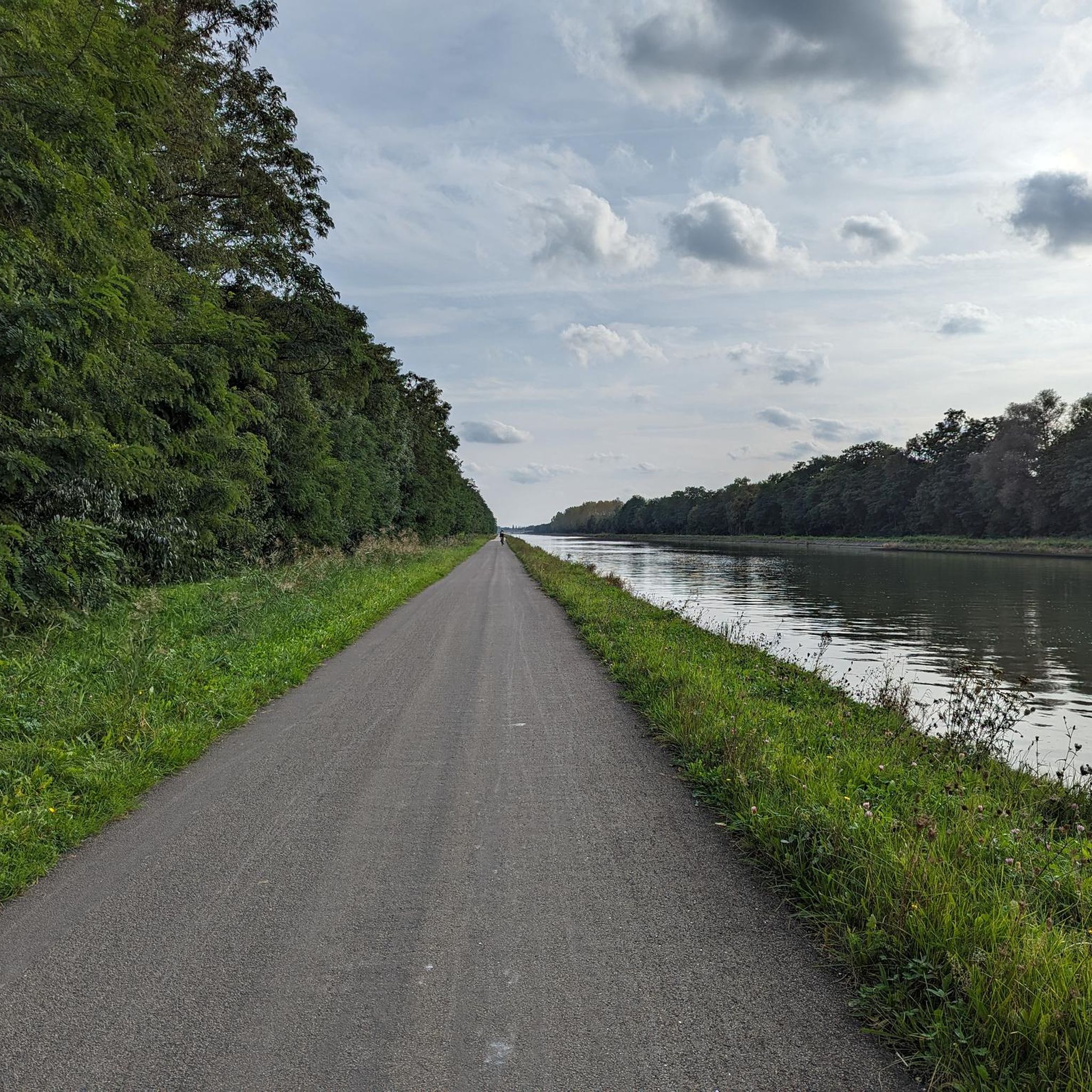
Dessel-Kwaadmechelen Canal
Highlight • River
Translated by Google •
Tip by
Sign up for free to discover even more attractions in Rammelaars.
Already have an account?
Start today with a free account
Your next adventure awaits.
Tips from the Community

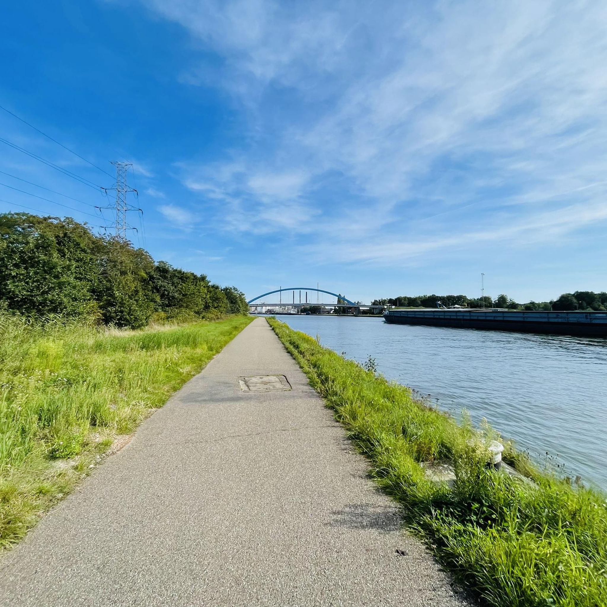
A flowery spot in the summer. The canal is also used by pleasure boats. In Kwaadmechelen you pass the nature reserve De Rammelaars and if you walk towards Olmen you will come to the back of the Olmense zoo where the local youth sometimes swim in the summer. A completely different canal than the Albert Canal and a magnet for walkers, cyclists and of course fishermen. Beautiful in every season and for cyclists and very brave walkers a direct route to the waters around Mol and Dessel, nature reserve Den Diel and the like.
6
0

This is the Dessel-Kwaadmechelen connecting canal...
11
0
Update: The bat path has been slightly improved. You still have to walk slowly, look out and have a good sense of balance, but I think it's not too bad, even though it's drier now. You don't come to this area for a rough tour anyway, it is traditionally too swampy for that.
6
0
One season drier than the other. In this area iron ore was mined and peat cut. At the end of the nineteenth century there were open iron ore mines. The ore was transported via a railway line from Gerhoeven over the stream to Hovesteen to go from there to the Ruhr area and the Liège smelting furnaces where rails were made from it. However, the iron content was small in this region (Beringen, Paal and Kwaadmechelen) and iron ore mining disappeared from the Kempen. At least that's what it says on the info board of Natuurpunt that you can find here. Scale and competition also appeared to play a role in the end of this iron mining. Wikipedia: "In the moist brook valley (ie De Rammelaars) small-scale human activities used to take place. There were hay meadows that were irrigated with nutrient-rich water from the brook. Coppice wood was also extracted. Peat was cut and iron ore was also produced on some scale. This was a profitable business especially in the 19th century, but from about 1900, given competition from large-scale iron ore mines, it was no longer profitable."
7
0

start routes and info the rattles
3
0

Wonderful location to stay. Enjoy your moment with the protagonists of nature.
6
0
Anyone who has cycled or walked along the Dessel-Kwaadmechelen canal in recent decades will undoubtedly have seen the lower-lying nature house from the towpath on the Meerhout side. That lower-lying nature reserve also has a name and a long history: De Rammelaars, as it is called, is a swampy area that escaped the upscaling of agriculture. Much of the water in the streams and ponds in the low-lying swamp area is brownish/rusty in color. This is caused by the seepage: ferrous groundwater that rises to the surface and helps determine the landscape. As the information board of Natuurpunt, which manages the area, indicates, De Rammelaars has a great biodiversity due to a mosaic of alder swamp forests, brushwood, flowery wet grasslands and wooded edges.
10
0
De Rammelaars is a low-lying, swampy area. From the middle of the 19th century, the Kempen was converted on a large scale into an agricultural area with larger and drier plots. De Rammelaars was spared, precisely because it was so wet and remote. It is therefore a rare witness to the once common Kempen stream valley landscape with small grasslands surrounded by wooded edges and rows of trees, and alder marshes. Upwelling of ferrous groundwater or seepage can be seen in the rusty color of streams and some ponds. In the Rammelaars you can still see the contours of peat pits where the peat layer was dug out until the end of the 19th century. Peat was used as a fuel, including for the smelting of iron ore that was mined in the region. This low quality iron ore was smelted into iron. After peat extraction stopped, nature took over the landscape again and the vegetation evolved into alder marsh forest. In addition, water management is organized on the basis of the extensive canal system that was constructed at the beginning of the 19th century. The name of the area refers to the many rabbits and hares that live there, a male rabbit or hare is a rattle. Source: https://www.natuurpunt.be/natuurgebied/rammelaars#description
10
1
Frequently Asked Questions
What kind of natural landscape can I expect in Rammelaars?
Rammelaars is characterized by a unique, low-lying, and often swampy landscape. You'll find extensive swamp forests, flowery grasslands, and stream valleys. It's a rare example of the Kempen's natural heritage, with water-loving plants and animals thriving in this environment. The area also features traces of past peat cutting and iron ore mining, now reclaimed by nature.
Are there specific walking trails or routes recommended in Rammelaars?
Yes, Rammelaars offers several marked hiking trails. A popular option is exploring De Rammelaars Nature Reserve, which features paths through swamp forests and grasslands. For a more immersive experience, the Broekbos Nature Trail is recommended, though waterproof footwear is often advised due to its natural, sometimes wet, terrain. Various marked trails also depart from the Natuur.huis within the reserve.
What historical sites can I visit in Rammelaars?
Rammelaars holds significant historical traces of past economic activity. You can visit the Old Iron Ore Mining Pit, a site that reveals the area's history as an open iron ore mine, now beautifully reclaimed by nature. Additionally, you can find Peat Pits Remnants, where an older information board explains the history of peat extraction in the region.
Is Rammelaars suitable for families with children?
Yes, De Rammelaars Nature Reserve is considered family-friendly. The Natuur.huis visitor center offers information about activities for children and families, including hiking and water research. Some trails are accessible for strollers with large wheels during dry periods, and the ponds provide opportunities to observe fish, frogs, and dragonflies up close.
What kind of wildlife can I spot in Rammelaars?
The name 'Rammelaars' itself refers to the many rabbits and hares that inhabit the area. The nature reserve is home to diverse water-loving plants and animals. You can observe various bird species from the bird hide, and the ponds are teeming with aquatic life like fish, frogs, and dragonflies.
What should I wear or pack when visiting Rammelaars, especially for walking?
Given the low-lying and often wet nature of the area, sturdy walking shoes or boots are highly recommended. For trails like the Broekbos Nature Trail, waterproof footwear is particularly advised. In some areas, you might walk through grazing grids with horses, so maintaining distance is important.
Are there any accessible paths for wheelchairs or strollers?
In De Rammelaars Nature Reserve, some trails are accessible for strollers with large wheels, especially during dry periods. However, the terrain can be wet and natural, so it's best to check conditions beforehand. The Boardwalk Through the Swamp Forest has undergone restoration, but some sections may still require boots due to their condition.
What is the best time of year to visit Rammelaars?
Rammelaars can be enjoyed year-round, with free access to its trails. However, given its swampy nature, drier periods are generally more comfortable for walking, especially if you prefer to avoid very muddy conditions. Spring and early autumn offer pleasant temperatures and beautiful natural scenery.
Are there options for running, cycling, or gravel biking near Rammelaars attractions?
Yes, the region around Rammelaars offers various outdoor activities. For running enthusiasts, you can find several routes, including loops from Kwaadmechelen and Olmen. Cycling options range from easy to moderate, with routes like the 'Blue Bridge Ham-Tessenderlo loop'. Gravel biking is also popular, with challenging routes such as the 'Asdonkstraat – Dessel-Kwaadmechelen Canal loop'. You can explore more options on the dedicated guides for Running Trails in Rammelaars, Cycling in Rammelaars, and Gravel biking in Rammelaars.
Are there any cafes or places to get refreshments near the nature reserve?
Yes, within De Rammelaars Nature Reserve, the Natuur.huis visitor center offers drinks. They also sell traditional honey, as they collaborate with a local beekeeper whose hives are located near the hay meadows with wildflowers.
What makes Rammelaars unique compared to other nature areas?
Rammelaars stands out as a rare surviving example of the Kempen's original stream valley landscape. Its low-lying, swampy character, extensive alder marsh forests, and the visible traces of historical peat cutting and iron ore mining, now integrated into the natural environment, offer a distinct blend of natural beauty and historical narrative that is uncommon in the region.
Most popular routes in Rammelaars

Get inspired with the komoot mobile app


Explore more
Still not found the Highlight you’re looking for? See guides of the top attractions in other regions:
