The best cycling routes in Bertembos En Grevensbos
4.3
(2151)
31,606
riders
1,179
rides
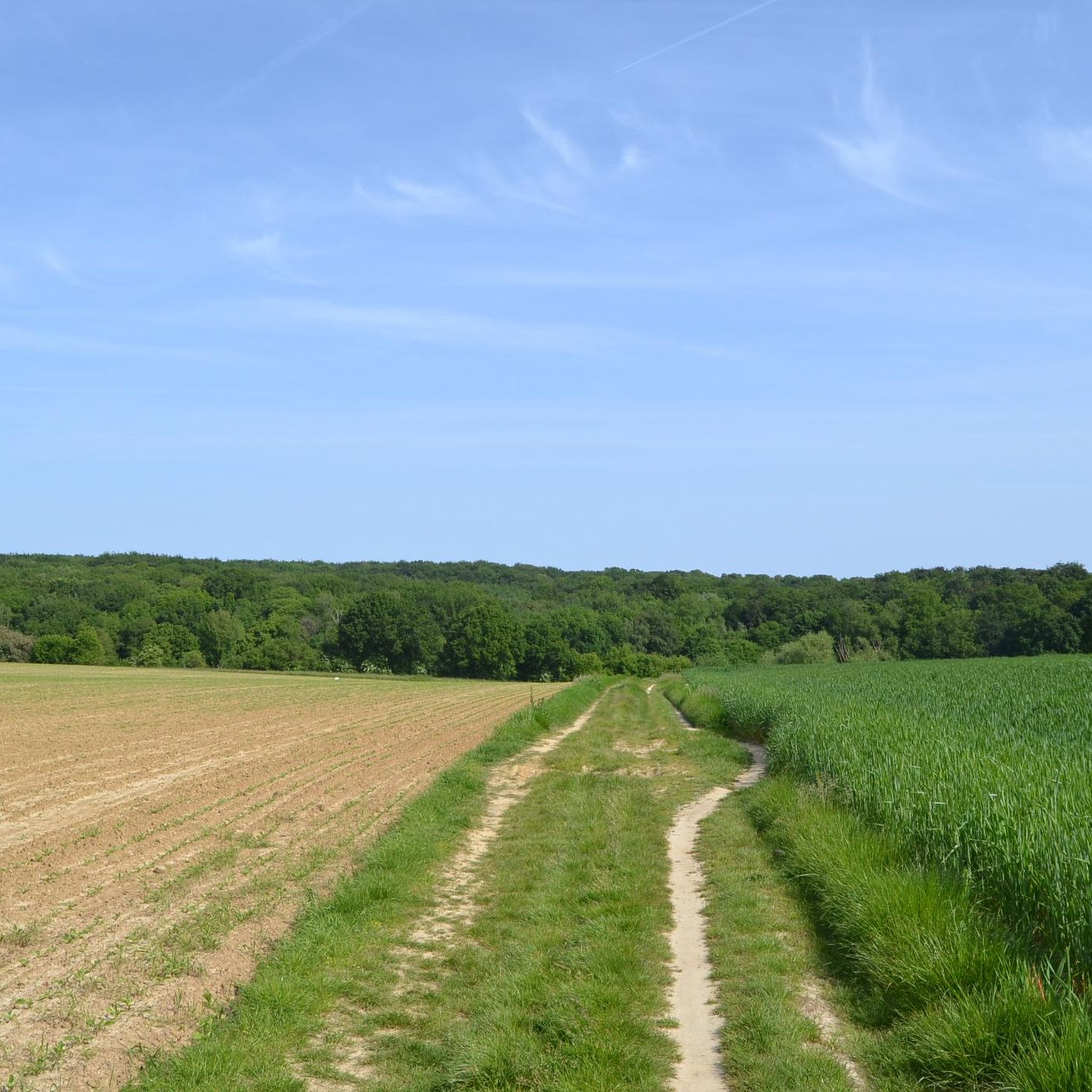
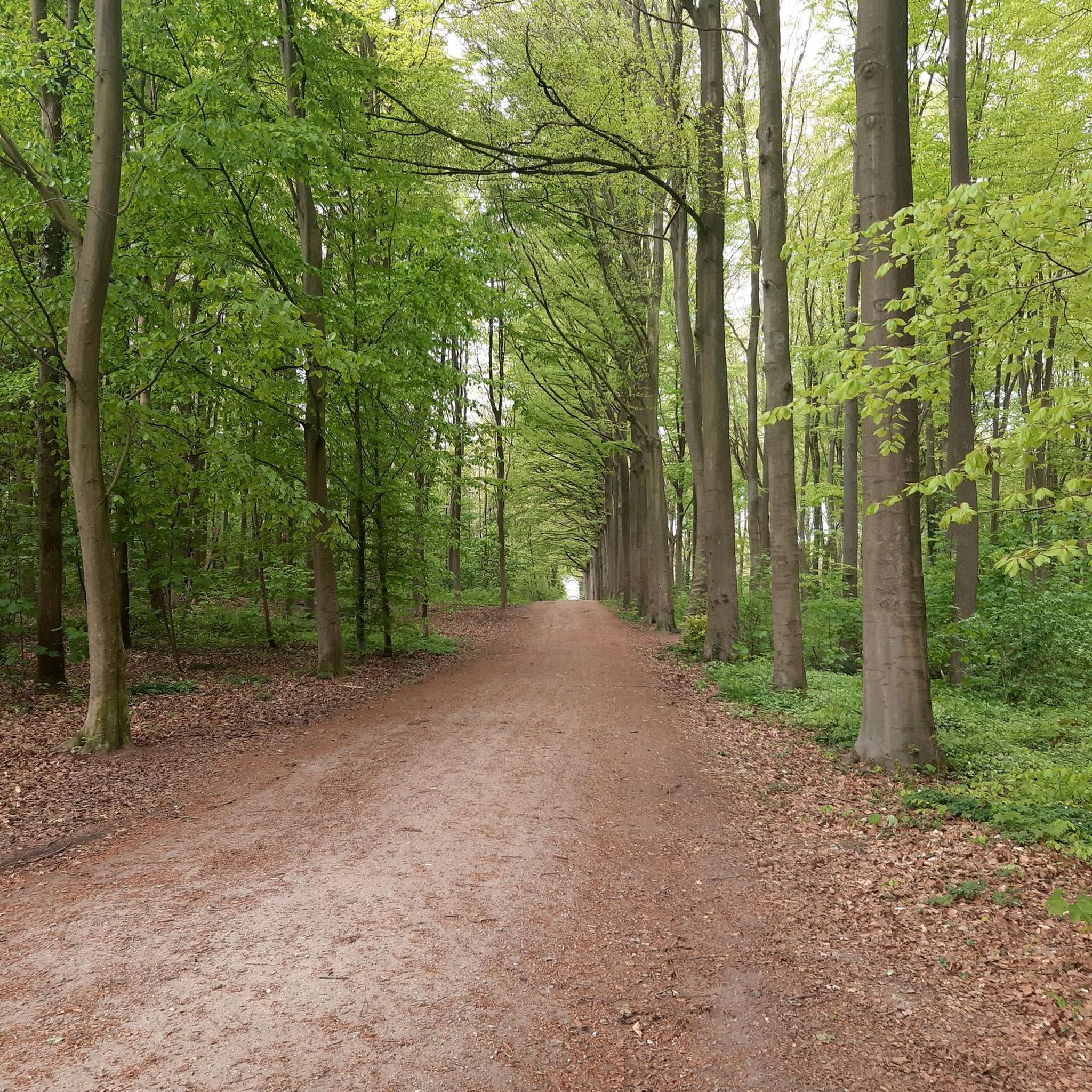
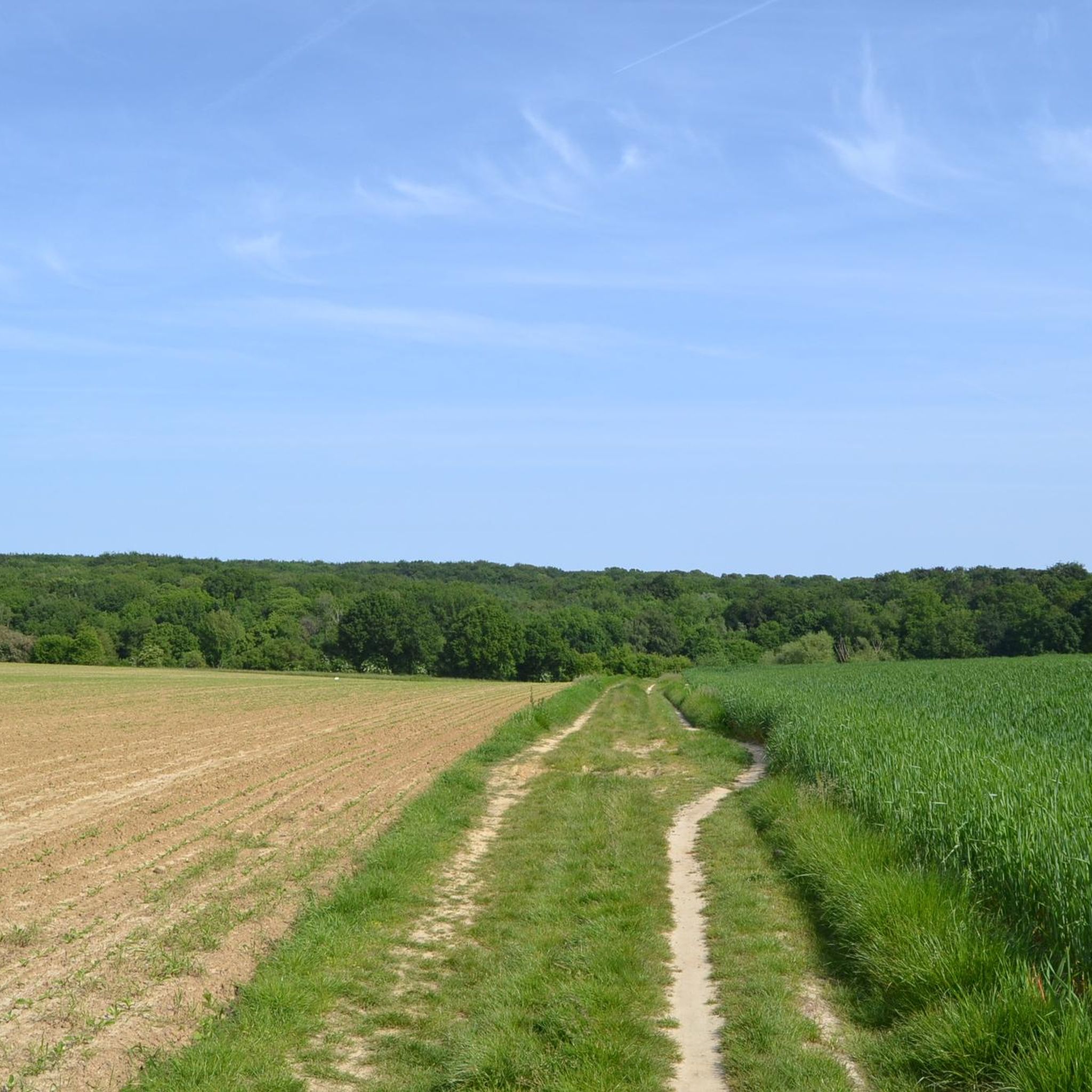
Touring cycling in Bertembos En Grevensbos offers routes through a relief-rich forest environment situated on the edge of the Brabant loess plateau. This area features two distinct forest complexes, Bertembos and Eikenbos-Grevensbos, separated by an open plain with agricultural lands. The landscape includes colluvial valleys and deeply incised hollow roads, providing varied perspectives. A Diestian ridge reaches up to 95 meters in height, contributing to the area's varied terrain.
Best touring cycling routes in Bertembos En Grevensbos
- The most popular touring cycling route is Bertembos and Eikenbos Loop, a 14.6 miles (23.5 km) trail that takes 1 hour 27 minutes to complete. This easy route traverses varied forest compositions and open agricultural areas.
- Another top favourite among local touring cyclists is Bicycle Street Kampenhout – Leuven–Dijle Canal loop from Veltem, a moderate 33.2 miles (53.4 km) path. This route follows the Leuven–Dijle Canal, offering views of cultivated fields and waterways.
- Local touring cyclists also love the Damiaan Bridge over the Dijle – Kruineike Bridge - Tildonk loop from Veltem, a 23.5 miles (37.9 km) trail leading through the Dijle river area, often completed in about 2 hours 10 minutes.
- Touring cycling in Bertembos En Grevensbos is defined by its relief-rich forest environment, ancient hollow roads, and open agricultural plains. The network offers options for different ability levels, from easy loops to more challenging moderate routes.
- The routes in Bertembos En Grevensbos are highly rated by the komoot community with an average score of 4.4 stars from over 1900 reviews. More than 29000 touring cyclists have used komoot to explore Bertembos En Grevensbos's varied terrain.
Last updated: July 10, 2026
3.8
(9)
26
riders
30.4km
01:54
230m
230m
Moderate bike ride. Good fitness required. Mostly paved surfaces. Suitable for all skill levels.
4.7
(3)
73
riders
Easy bike ride. Great for any fitness level. Mostly paved surfaces. Suitable for all skill levels.

Sign up for free
4.7
(3)
42
riders
37.1km
02:13
200m
200m
Moderate bike ride. Good fitness required. Mostly paved surfaces. Suitable for all skill levels.
3.8
(15)
50
riders
23.5km
01:27
150m
150m
Easy bike ride. Great for any fitness level. Mostly paved surfaces. Suitable for all skill levels.
4.9
(9)
138
riders
54.2km
03:05
80m
80m
Moderate bike ride. Good fitness required. Mostly paved surfaces. Suitable for all skill levels.
Get access to more routes and recommendations from other explorers.
Sign up for free
Already have an account?
Our route recommendations are based on thousands of hikes, rides, and runs completed by other people on komoot.
Start today with a free account
Your next adventure awaits.
Login or Signup
Tips from the Community

Batteliek is a Mechelen-based microbrewery, micro-distillery, and lemonade factory in a former church. It is a wondrous place where alchemy and industry became intertwined. Let your senses be stimulated by the experimental kitchen and drinks, where new flavors are discovered through trial and error.
0
0

Unless I'm mistaken... but I think it has disappeared... in any case, one of the <F3> has disappeared...
0
0

Ideal for speeding up (if the wind is favorable)
0
0

Kerkwegeltje as they like to be walked...
2
0

Quiet green spot, along the footpath between the church and the cemetery. On one side pollarded willows, on the other side the garden of De Smederij.
3
0

A walled and hedged cemetery surrounds the parish church. The brick cemetery wall on a natural stone plinth is capped with a bluestone coping stone. Both the iron gates above the brick wall and the entrance gate hang from brick gate pillars with a bluestone capping. A pedestrian passageway runs to the left and right of the entrance gate. An undated natural stone cross has been incorporated into the north wall. The historic cemetery contains a series of gravestones from the interwar and postwar periods. They are designed in a sober Art Deco and Modernist style. The gravestones evolve from bluestone to (multicolored) composite stone, mosaic, synthetic material, natural stone, and granite, thus demonstrating the shift in material use between 1960 and 1980. Several epitaphs are placed on marble slabs. Near the entrance is a plot dedicated to Belgian veterans, marked by identical bluestone crosses bearing the Belgian flag. The cemetery expansion, dating from the 1990s, primarily includes granite headstones. The flowerbeds are bordered by clipped hedges and clipped hornbeam volumes. The shift towards ash burials is clearly visible in the newly created scattering meadow and urn vaults. Inventory of Immovable Heritage: Parish Church of St. Anthony with cemetery, https://id.erfgoed.net/erfgoedobjecten/43369
6
0
Church built of sandstone; the floor plan unfolds with a west tower, three naves of three bays, a projecting transept, and a long choir ending in a three-sided apse. Square Gothic tower with three stories dating from the second half of the 13th century; ground floor covered with heavy rib vaults resting on roughly worked corbels; pointed arch towards the nave; upper floor perhaps formerly equipped with a tribune (currently in neo-style); bell storey with decorated sound holes in the east and south facades; rectangular, partially renovated wall openings in the other sides; oculus from the 18th century and neo-Gothic portal on the south side. Nave and transept from the same period, covered with a steep roof in late Gothic style (16th century); brick vaulting in the transepts, but wooden pointed barrel vaulting in the nave. Light corner buttresses against the shouldered gables of the transept arms; the arcade and northeast half-column are possibly older and built together with the choir. Western choir bay covered with a pointed barrel vault (late 15th century); closed-off and blind eastern section in a less developed Gothic style (13th or 14th century), partially rebuilt of iron sandstone in large and regular bond; new window in the north; the date 1731 on the choir apse probably indicates a restoration. Furniture. In the transepts, paintings by Verhaghen (late 18th century); Romanesque baptismal font decorated with four heads (12th century) and a Gothic holy water font (16th century). Inventory of Immovable Heritage: Parish Church of St. Anthony with cemetery, https://id.erfgoed.net/erfgoedobjecten/43369
6
0

Batteliek is a Mechelen microbrewery, microdistillery, and lemonade housed in a former church. It's a wondrous place where alchemy and industry intertwine. Let your senses be captivated by the experimental kitchen and drinks, where new flavors are developed through trial and error.
7
0
Frequently Asked Questions
How many touring cycling routes are available in Bertembos En Grevensbos?
There are nearly 1000 touring cycling routes in Bertembos En Grevensbos. Over 500 of these are rated as easy, with more than 300 moderate and 175 difficult options, offering a wide range for all skill levels.
What kind of terrain can I expect on touring cycling routes in Bertembos En Grevensbos?
The region features a relief-rich forest environment on the edge of the Brabant loess plateau, including two distinct forest complexes, Bertembos and Eikenbos-Grevensbos. You'll encounter colluvial valleys, deeply incised hollow roads offering fascinating perspectives, and open agricultural plains. Some routes follow waterways like the Leuven–Dijle Canal, providing varied scenery.
Are there any family-friendly touring cycling routes in the area?
Yes, many of the easy routes are suitable for families. For instance, the Bertembos and Eikenbos Loop is an easy 23.5 km trail that traverses varied forest compositions and open agricultural areas. Additionally, the area features the Het Vossenhol Play Forest, which has paved footpaths accessible for wheelchair users and natural play elements for children, making it a great stop for families.
What are some notable natural features or viewpoints to look out for?
The region is known for its 'relief-rich forest environment' and a Diestian ridge reaching up to 95 meters, offering splendid views. You'll also find numerous colluvial valleys and ancient 'hollow roads' (holle wegen) that descend from the Bertembos massif, providing unique perspectives. Highlights include the Hollow Road of Stierke and the Bertembos and De Koeheide Nature Reserve.
Are there any historical sites or attractions along the cycling routes?
Yes, the region is rich in history. You can explore the Former Hunting Lodge in Bertem Forest, a historic building nestled in a secluded wooded area. The landscape also features old connecting roads that once linked Leuven to Brussels and historical boundary markers from the Ancien Régime. Evidence of Roman clearings and Carolingian domain structures can also be found.
Are there any circular touring cycling routes in Bertembos En Grevensbos?
Many routes in the area are designed as loops. For example, the F8 Cycle Highway Tildonk – Kruineike Bridge - Tildonk loop from Veltem is an easy 21.1 km circular route, and the Bicycle Street Kampenhout – Leuven–Dijle Canal loop from Veltem offers a moderate 53.4 km option.
What is the best time of year to go touring cycling in Bertembos En Grevensbos?
Spring is particularly appealing when the forest floor is covered by a carpet of wood anemones, adding to the natural beauty. The varied composition of the forest and its undisturbed floor also make it pleasant throughout the warmer months. Autumn offers diverse fungi, making it another good season for exploration.
What do other touring cyclists say about the routes in Bertembos En Grevensbos?
The area is highly rated by the komoot community, with an average score of 4.4 stars from over 1900 reviews. Cyclists often praise the varied terrain, from quiet woodlands to open agricultural fields, and the well-maintained paths that cater to different ability levels.
Are there any challenging touring cycling routes for experienced riders?
Yes, there are routes suitable for more experienced cyclists. The Cyclist Overpass – Remy Silo Leuven-Dijle Canal loop from Veltem is a difficult 25.2 km route with an elevation gain of over 50 meters, offering a more demanding experience.
Is it possible to access the touring cycling routes using public transport?
While specific public transport connections to trailheads are not detailed, the region's historical context mentions old connecting roads that linked Leuven to Brussels, suggesting accessibility to nearby towns. It's advisable to check local public transport options to reach the starting points of the routes.
Where can I find parking for the cycling routes?
The region is popular for outdoor activities, and while specific parking locations aren't listed, many trailheads or nearby villages typically offer parking facilities. It's recommended to check the starting points of individual routes on komoot for detailed parking information.
Are there any routes that follow waterways?
Yes, some routes incorporate waterways into their scenic paths. For example, the Damiaan Bridge over the Dijle – Kruineike Bridge - Tildonk loop from Veltem leads through the Dijle river area, offering views of the river and surrounding landscapes.
Most popular routes in Bertembos En Grevensbos
Most popular attractions in Bertembos En Grevensbos

Get inspired with the komoot mobile app


Explore more
Browse the best Cycling routes in other regions.
