Réserve Naturelle Nationale Du Platier D'Oye
Réserve Naturelle Nationale Du Platier D'Oye
The best road cycling routes in Réserve Naturelle Nationale Du Platier D'Oye
4.2
(146)
4,479
riders
159
rides
Road cycling routes in Réserve Naturelle Nationale Du Platier D'Oye traverse a unique landscape characterized by coastal dunes, marshes, and low-lying polder land situated between Calais and Dunkerque. The terrain is generally flat, with a maximum elevation of only 2 meters above sea level, offering mostly paved surfaces suitable for road bikes. While bicycles are not permitted on the trails within the Réserve Naturelle Nationale Du Platier D'Oye itself, numerous road cycling routes are available in the surrounding areas, providing opportunities to explore the coastal scenery and French countryside.
Best road cycling routes in Réserve Naturelle Nationale Du Platier D'Oye
- The most popular road cycling route is Leaning Tower Near Oy Plage – Leaning Tower loop from La Tour Penchée, a 16.6 miles (26.7 km) trail that takes 1 hour 6 minutes to complete. This moderate route offers views of the coastal area near Oye-Plage.
- Another top favourite among local road cyclists is Watten Mill – Watten Hill loop from Grand-Fort-Philippe, an easy 28.9 miles (46.6 km) path. This route leads through the low-lying countryside, featuring minimal elevation gain.
- Local road cyclists also love the Entering Le Tap Cul – Olympic rowing basin loop from Grand-Fort-Philippe, a 20.7 miles (33.4 km) trail leading through the area around the Olympic rowing basin, often completed in about 1 hour 16 minutes.
- Road cycling in Réserve Naturelle Nationale Du Platier D'Oye is defined by coastal paths, flat polder land, and views of the surrounding natural areas. The network offers options for various ability levels, including easy, moderate, and a few difficult routes.
- The routes in Réserve Naturelle Nationale Du Platier D'Oye are highly rated by the komoot community with an average score of 4.2 stars from over 120 reviews. More than 4000 road cyclists have used komoot to explore Réserve Naturelle Nationale Du Platier D'Oye's varied terrain.
Last updated: October 27, 2026
3.0
(1)
7
riders
32.1km
01:18
40m
40m
Easy road ride. Mostly well-paved surfaces and easy to ride.
3.0
(1)
4
riders
26.2km
00:59
20m
20m
Easy road ride. Mostly well-paved surfaces and easy to ride.

4.0
(1)
68
riders
46.8km
01:50
100m
100m
Easy road ride. Mostly well-paved surfaces and easy to ride.
50
riders
28.6km
01:11
30m
30m
Moderate road ride. Some segments of this route may be unpaved and difficult to ride.
26
riders
Easy road ride. Mostly well-paved surfaces and easy to ride.
Get access to more routes and recommendations from other explorers.
Already have an account?
Our route recommendations are based on thousands of hikes, rides, and runs completed by other people on komoot.
Start today with a free account
Your next adventure awaits.
Popular around Réserve Naturelle Nationale Du Platier D'Oye
Tips from the Community

An impressive stone monument with a large cross, located on the edge of the shipping channel of Grand-Fort-Philippe, near Gravelines. The calvary was built in 1947 to protect the fishermen and in memory of those who were lost at sea. Under the stone arch is a small chapel with a statue of the Virgin Mary and memorial plaques. Every year on August 15th, the place really comes to life: after the procession through the streets, the traditional boat parade stops here for the blessing of the sea. A quiet, atmospheric place to pause and reflect on the difficult fishing history of this coast, with a view of the channel and the sea. Feel free to combine it with a visit to the Musée du Sauvetage in the village.
0
0
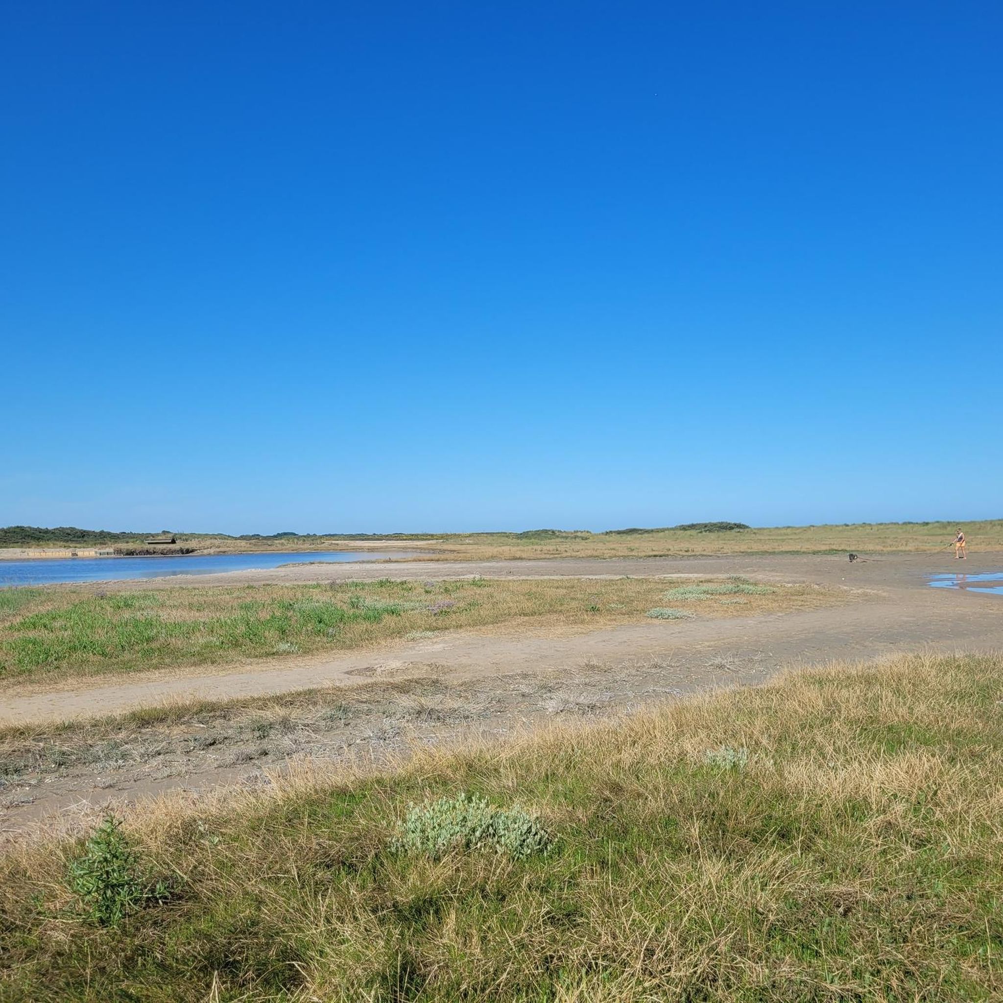
Beautiful protected nature reserve on the Opal Coast, between Oye-Plage and Grand-Fort-Philippe, managed by the Conservatoire du Littoral. Here, dunes, beach, salt marshes, ponds, and polders alternate, making it a top spot for birdwatchers. With a bit of luck, you can spot the pied avocet, little tern, Eurasian stone-curlew, common teal, or northern lapwing. Sea buckthorn grows abundantly in the dunes. A short loop trail starts at the parking lot along the ponds, and via the dune crossing, you can easily reach the wide beach. Definitely bring binoculars! The area is fragile, so stay on the paths and leave dogs at home or on a leash.
1
0

The Grevelingen Town Hall (Hôtel de ville de Gravelines) is the town hall of the city of Grevelingen in the French Northern Department, located on Place Albert Denvers. There was probably a medieval alderman's house on the same site, which became a town hall in 1789. The building was in poor condition and even threatened to collapse. In 1834, a new town hall was built in Marquise limestone, according to a design by Charles Henry. The building is in neoclassical style. A short staircase leads to the entrance door, behind which are the mayor's room and various offices. There are several rooms on the first floor, such as the banquet hall, the council chamber and a courtroom. The cellars contain a cistern and a storage place for salt, needed for fish preservation. https://en.wikipedia.org/wiki/Gravelines?wprov=sfla1
0
0
The Grevelingen Belfry is the medieval belfry in the northern French city of Grevelingen (Gravelines). Grevelingen has had a belfry since the Middle Ages, which was then a simple wooden structure. The current belfry was built in 1827. It is a square tower, made of yellow brick and equipped with an octagonal dome. The tower has a clockwork with four dials. It is one of 56 belfries in Belgium and France that have been declared a UNESCO World Heritage Site. https://en.wikipedia.org/wiki/Gravelines?wprov=sfla1
0
0

In the Netherlands called salt marshes or salt marshes
0
0

Lovely square. Lots of parking and safe for cyclists.
0
0

Beautiful village, surrounded by water and city walls
0
0
A tapecul (also written tape-cul or tapecu) is a sail set at the rear of a sailboat, then often called a yawl, on the tapecul mast.
0
0
Frequently Asked Questions
Is road cycling permitted inside the Réserve Naturelle Nationale Du Platier D'Oye itself?
No, bicycles are not allowed on the trails within the Réserve Naturelle Nationale Du Platier D'Oye. However, road cycling is a popular activity in the areas surrounding the reserve, offering numerous routes to explore the coastal scenery and French countryside.
What is the typical terrain and elevation like for road cycling around the Réserve Naturelle Nationale Du Platier D'Oye?
The terrain around the Réserve Naturelle Nationale Du Platier D'Oye is generally flat, characterized by low-lying polder land, coastal dunes, and marshes. The maximum elevation is only about 2 meters above sea level, making for mostly easy and moderate routes with minimal climbing.
What kind of surfaces can I expect on road cycling routes near the reserve?
Most road cycling routes in the vicinity of the Réserve Naturelle Nationale Du Platier D'Oye feature predominantly paved surfaces, making them ideal for road bikes. You can expect smooth riding conditions suitable for speed and comfort.
Are there road cycling routes suitable for beginners in the area?
Yes, the area offers a good selection of routes suitable for beginners. Out of 181 available routes, 67 are classified as easy, providing gentle rides through the flat landscape. An example is the Watten Mill – Watten Hill loop from Grand-Fort-Philippe.
What natural features or landmarks can I see while road cycling near the reserve?
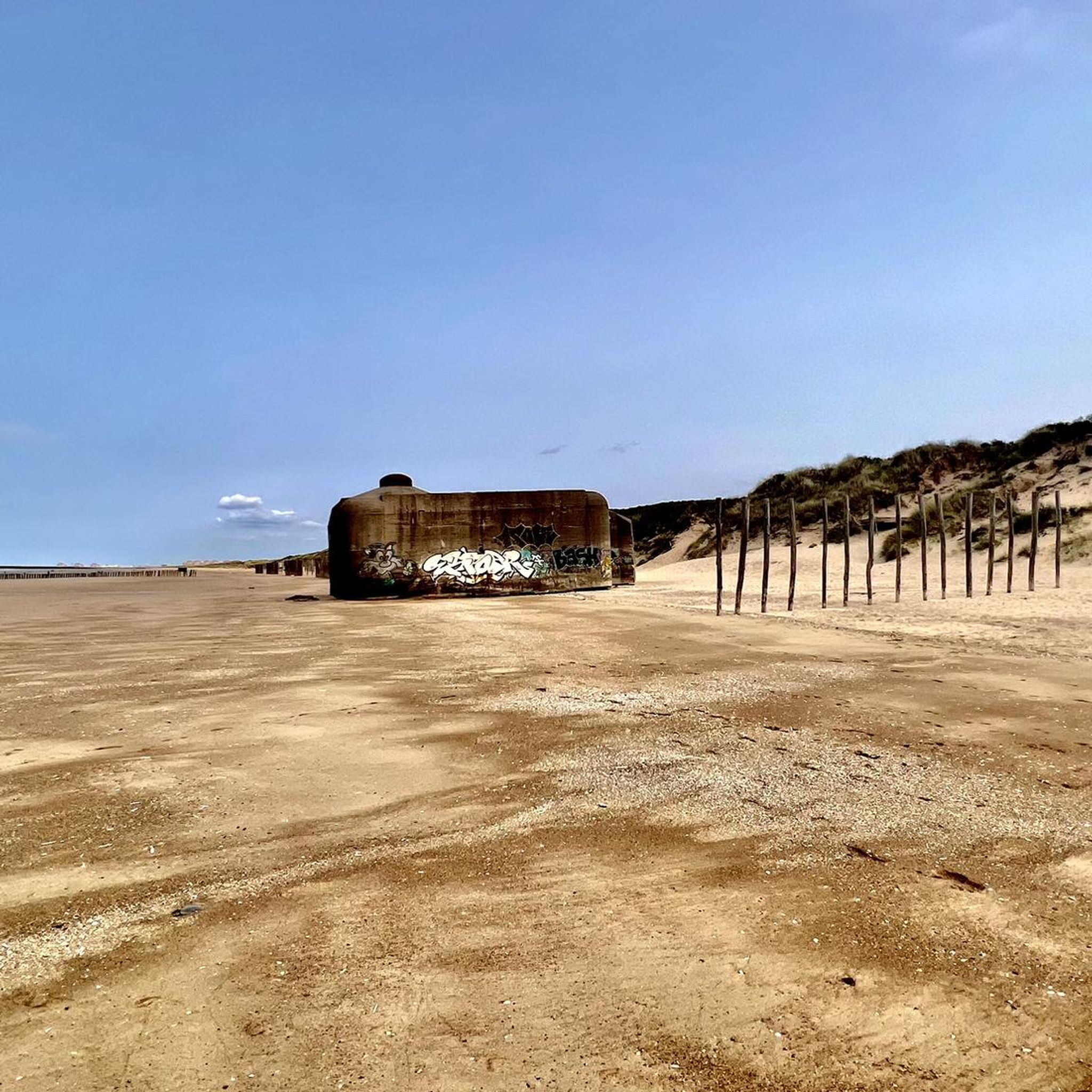
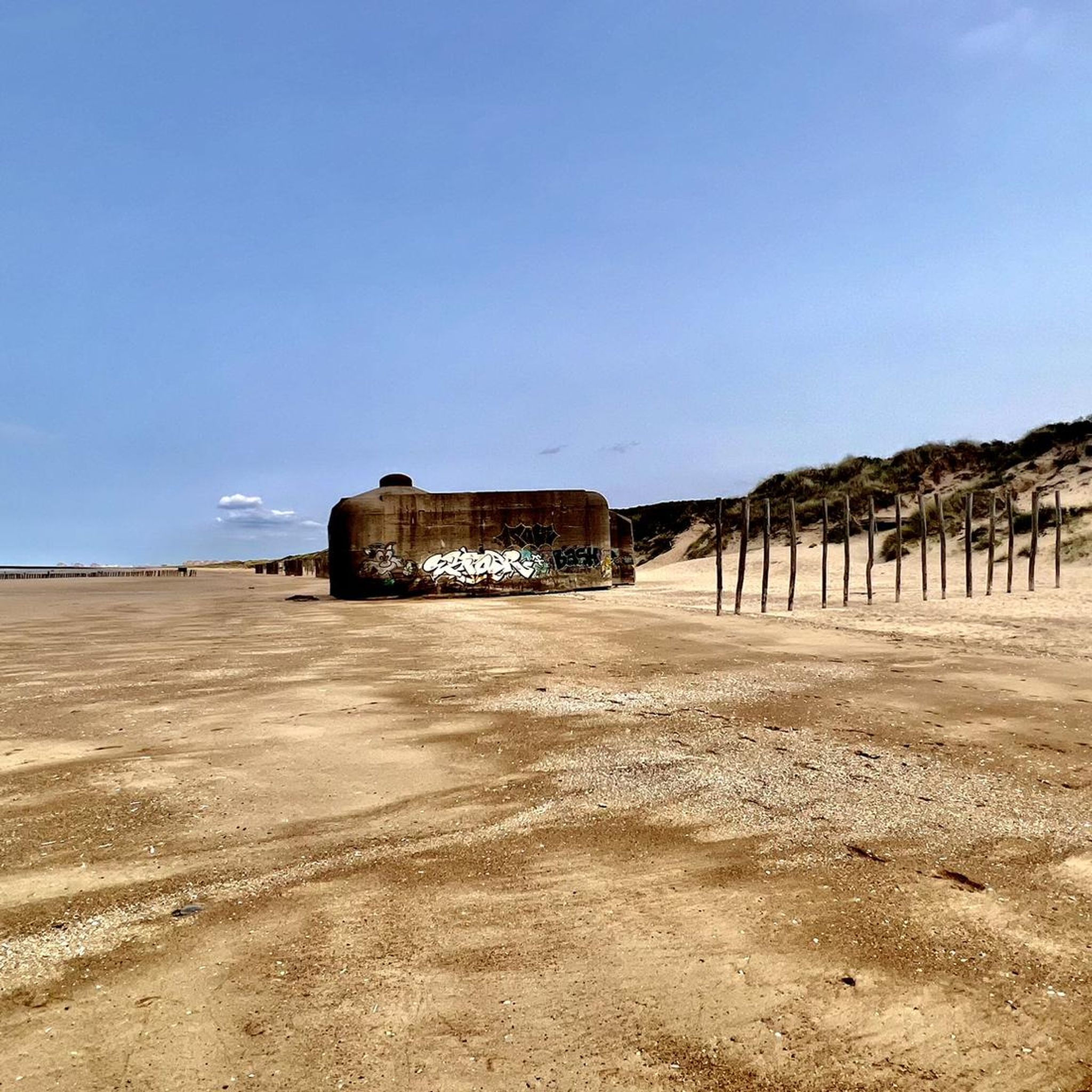
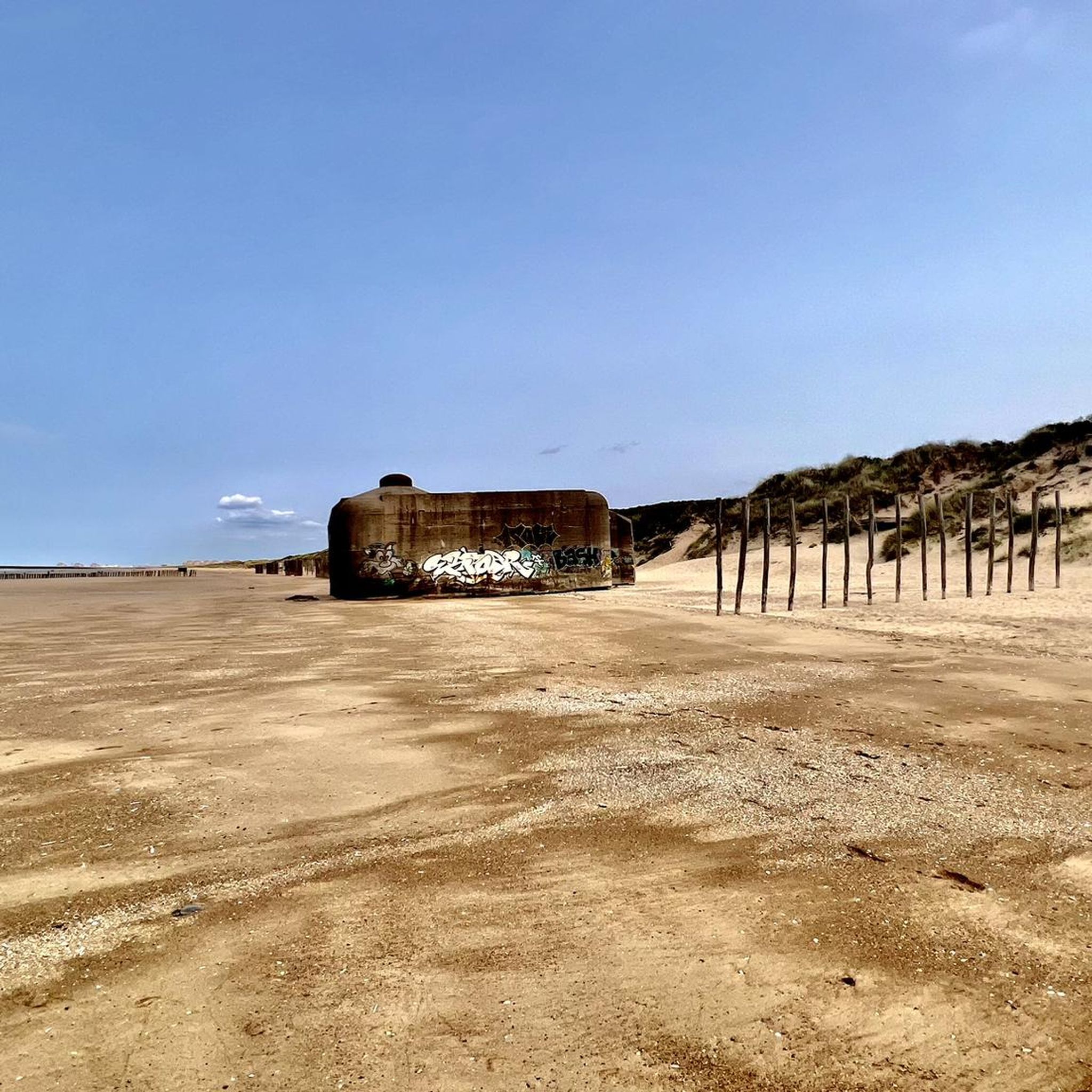
While cycling around the reserve, you can enjoy views of the unique coastal landscape, including dunes and marshes. You might also spot historical bunkers, such as the Écardines Bunkers. The area is also renowned for its rich birdlife, offering opportunities for wildlife spotting, especially migratory birds.
Are there circular road cycling routes available around the Réserve Naturelle Nationale Du Platier D'Oye?
Yes, many of the road cycling routes in the area are designed as loops, allowing you to start and end at the same point. For instance, the popular Leaning Tower Near Oy Plage – Leaning Tower loop from La Tour Penchée is a circular route.
What is the typical length of road cycling routes in the Platier D'Oye area?
Route lengths vary, but many popular options range from moderate distances. For example, the Leaning Tower Near Oy Plage – Leaning Tower loop from La Tour Penchée is 26.7 km (16.6 miles), and the Olympic rowing basin – Grand Fort Philippe loop from Grand-Fort-Philippe is 24.8 km (15.4 miles).
Is there parking available for road cyclists visiting the Réserve Naturelle Nationale Du Platier D'Oye area?
Yes, parking is generally available in the towns and villages surrounding the reserve, such as Grand-Fort-Philippe or near Oy Plage, which serve as common starting points for road cycling routes. Always check local signage for specific parking regulations.
When is the best time of year to go road cycling around the Réserve Naturelle Nationale Du Platier D'Oye?
The spring and autumn months are often ideal for road cycling around the Réserve Naturelle Nationale Du Platier D'Oye, offering pleasant temperatures and less crowded conditions. These seasons also provide excellent opportunities for birdwatching as migratory species pass through. Summer can also be enjoyable, though it may be busier.
Are the road cycling routes around the reserve suitable for families?
Given the generally flat terrain and numerous easy-rated routes, many road cycling paths around the Réserve Naturelle Nationale Du Platier D'Oye are suitable for families. Routes like the Entering Le Tap Cul – Olympic rowing basin loop from Grand-Fort-Philippe offer manageable distances for various skill levels.
What do other road cyclists enjoy the most about road cycling in Réserve Naturelle Nationale Du Platier D'Oye?
The area is highly rated by the komoot community, with an average score of 4.2 stars from over 100 reviews. Road cyclists often praise the flat, well-paved routes, the scenic coastal views, and the opportunities to explore the unique polder landscape and charming French countryside.
Can I find cafes or places to rest along the road cycling routes?
Yes, the road cycling routes often pass through or near small towns and villages like Grand-Fort-Philippe, where you can find cafes, bakeries, and other establishments to refuel and rest during your ride.
Most popular routes in Réserve Naturelle Nationale Du Platier D'Oye
Most popular attractions in Réserve Naturelle Nationale Du Platier D'Oye

Get inspired with the komoot mobile app


Explore more
Browse the best Road cycling routes in other regions.
