The best walks and hikes in Binnenveldse Hooilanden
4.5
(10623)
57,839
hikers
1,736
hikes
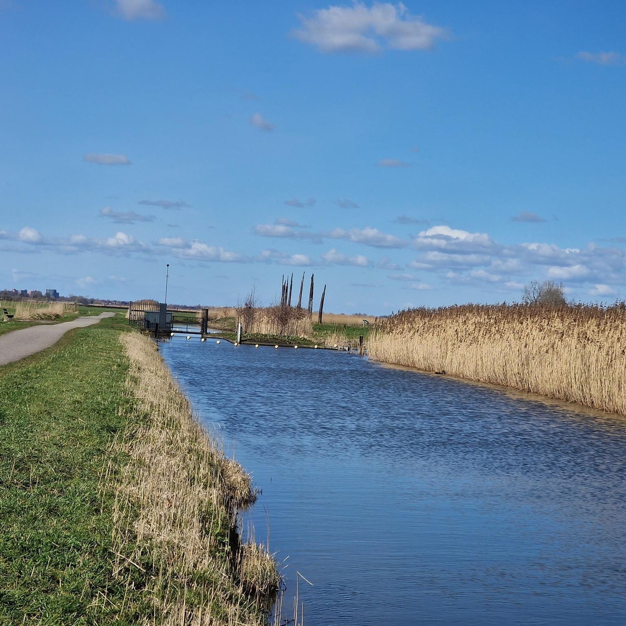
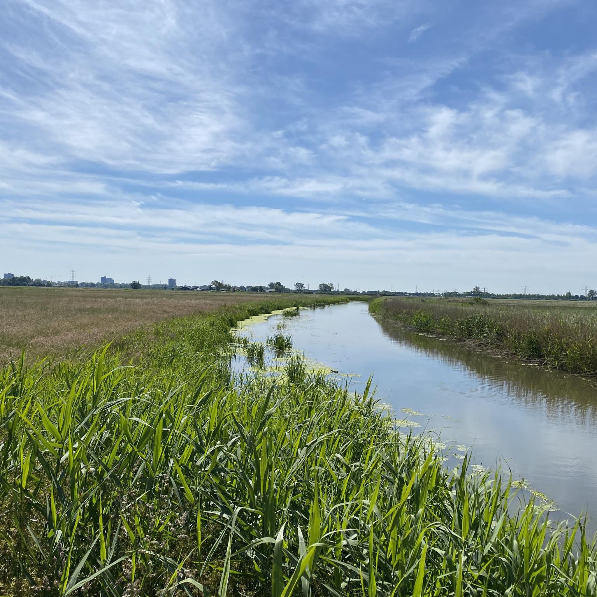
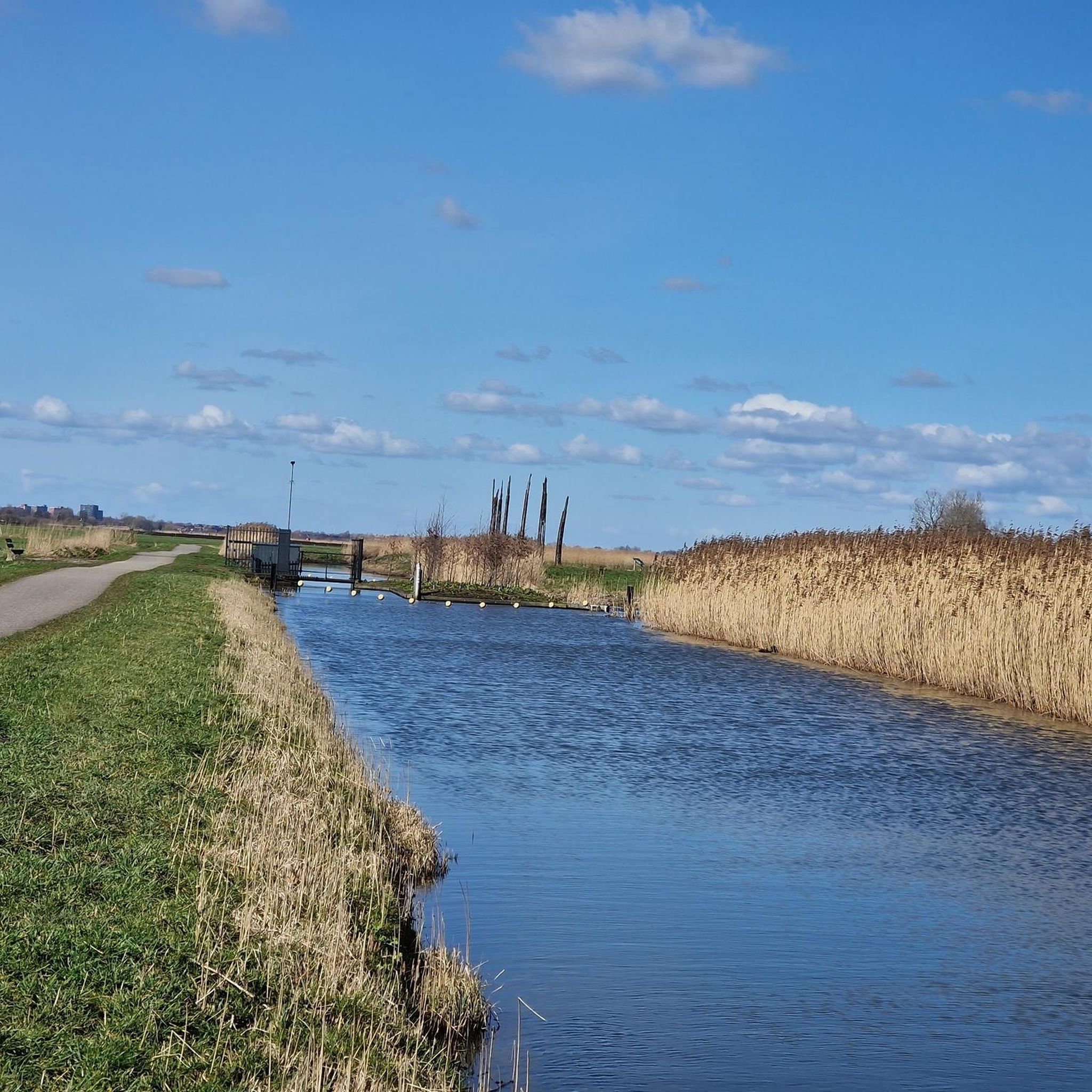
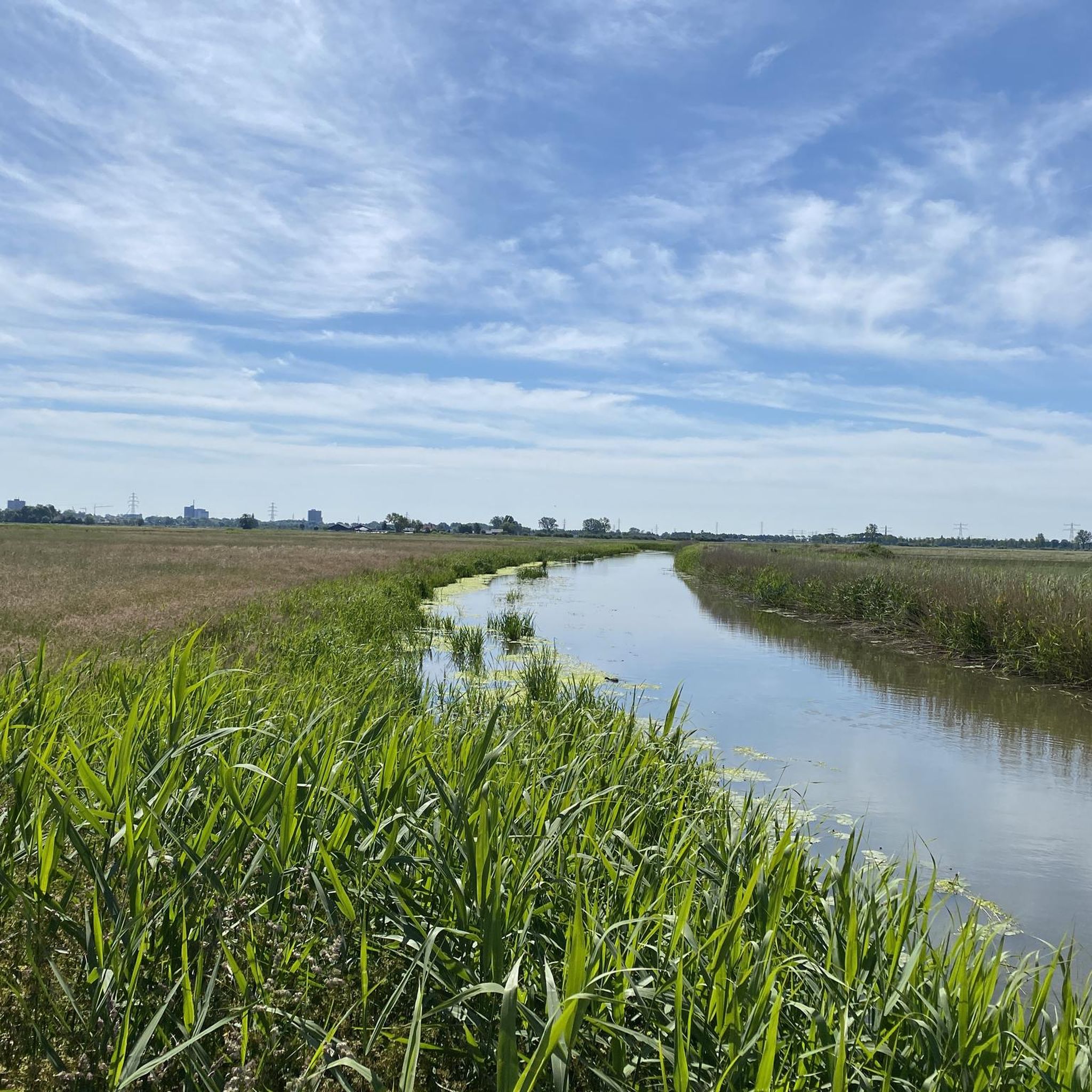
Hiking in Binnenveldse Hooilanden offers routes through a flat, water-rich landscape characterized by expansive hay meadows and agricultural fields. The region features numerous canals, ditches, and small waterways, often accompanied by boardwalks and observation points. Elevation changes are minimal, making the terrain accessible for various activity levels.
Best hiking trails in Binnenveldse Hooilanden
- The most popular hiking route is Binnenveld Hay Meadows – Binnenveldse Hooilanden loop from Binnenveld - Bennekomse Meent, a 4.0 miles (6.4 km) trail that takes 1 hour 36 minutes to complete. This easy loop traverses the heart of the hay meadows.
- Another top favourite among local hikers is Valleikanaal Observation Tower – Polder mill loop from Binnenveld - Bennekomse Meent, an easy 3.8 miles (6.2 km) path. This route features an observation tower and a polder mill, offering views of the surrounding water-rich landscape.
- Local hikers also love the View of the Hay Meadows – Reflections in the Water loop from Binnenveld - Bennekomse Meent, a 2.3 miles (3.7 km) trail leading through hay meadows and reflective water bodies, often completed in about 55 minutes.
- Hiking in Binnenveldse Hooilanden is defined by hay meadows, canals, polder mills, and boardwalks. The network offers options for easy, moderate, and some more challenging routes.
- The routes in Binnenveldse Hooilanden are highly rated by the komoot community with an average score of 4.5 stars from over 9,000 reviews. More than 55,000 hikers have used komoot to explore Binnenveldse Hooilanden's varied terrain.
Last updated: July 9, 2026
4.9
(14)
83
hikers
Easy hike. Great for any fitness level. Easily-accessible paths. Suitable for all skill levels.
4.0
(9)
31
hikers
Easy hike. Great for any fitness level. Easily-accessible paths. Suitable for all skill levels.

Sign up for free
4.4
(5)
42
hikers
Easy hike. Great for any fitness level. Easily-accessible paths. Suitable for all skill levels.
5.0
(5)
48
hikers
5.08km
01:17
10m
10m
Easy hike. Great for any fitness level. Easily-accessible paths. Suitable for all skill levels.
3.0
(1)
13
hikers
Moderate hike. Good fitness required. Easily-accessible paths. Suitable for all skill levels.
Get access to more routes and recommendations from other explorers.
Sign up for free
Already have an account?
Our route recommendations are based on thousands of hikes, rides, and runs completed by other people on komoot.
Start today with a free account
Your next adventure awaits.
Login or Signup
Tips from the Community

A short staircase leads up to the top, offering unobstructed views of the wet grassland. This area is specifically designed for meadow birds. With a bit of luck, you might spot lapwings, black-tailed godwits, or geese in the field. The landscape is wide and flat, with the Grebbeberg mountain range at its edges and the Utrechtse Heuvelrug in the distance. A lovely place to pause, look around, and spot birds during your walk. There are two benches at the top where you can have a picnic or take a break! There's plenty of parking space.
1
0


remains of trunks of old peat oaks, which they came across while digging the Binnenveldse Hooilanden nature reserve, and according to the story they are more than 7000 years old
0
0


Here you can find information about the immediate area.
0
0
Here you can find information about the immediate area.
0
1
Here you can find information about the immediate area.
0
0
Here you can find information about the immediate area.
0
1
Frequently Asked Questions
How many hiking trails are available in Binnenveldse Hooilanden?
There are over 1,700 hiking routes in Binnenveldse Hooilanden. The majority, more than 1,200, are classified as easy, making the area very accessible for various activity levels.
Are there easy hiking trails suitable for beginners in Binnenveldse Hooilanden?
Yes, Binnenveldse Hooilanden is ideal for beginners, with over 1,200 easy routes. A great option is the View of the Hay Meadows – Reflections in the Water loop from Binnenveld - Bennekomse Meent, a 2.3-mile (3.7 km) trail that takes about 55 minutes to complete.
What kind of terrain can I expect when hiking in Binnenveldse Hooilanden?
The region features a flat, water-rich landscape dominated by expansive hay meadows and agricultural fields. You'll encounter numerous canals, ditches, and small waterways, often with boardwalks and observation points. Elevation changes are minimal, ensuring accessible terrain.
Are there any circular walks in Binnenveldse Hooilanden?
Yes, many routes in Binnenveldse Hooilanden are circular. For example, the Valleikanaal Observation Tower – Polder mill loop from Binnenveld - Bennekomse Meent is an easy 3.8-mile (6.2 km) loop that offers views of an observation tower and a polder mill.
Are the hiking trails in Binnenveldse Hooilanden suitable for families with children?
Yes, the flat and generally easy terrain makes Binnenveldse Hooilanden very family-friendly. Many routes feature boardwalks and observation points that can be engaging for children. Consider the Boardwalk – Stepping Stones loop from Binnenveld - De Hellen for a pleasant family outing.
Can I bring my dog on the hiking trails in Binnenveldse Hooilanden?
Many trails in Binnenveldse Hooilanden are dog-friendly, but it's always best to check local signage for specific restrictions, especially in nature reserves or areas with grazing livestock. Keep your dog on a leash to protect wildlife and respect other hikers.
What are some interesting landmarks or sights to see along the trails?
Hikers can discover several points of interest. Look out for the Observation Tower Over the Fields Along the Grift River for panoramic views, or the Tree Remains Monument.. The region itself, Binnenveldse Hooilanden, is a highlight with its unique hay meadows.
What is the best season for hiking in Binnenveldse Hooilanden?
Spring and summer are particularly beautiful, when the hay meadows are lush and wildflowers bloom. Autumn offers pleasant temperatures and changing colors. While winter hiking is possible, some paths might be muddy, and the landscape will be more subdued.
Where can I park when visiting Binnenveldse Hooilanden for a hike?
Parking is generally available at various entry points to the nature reserve and near popular trailheads. Specific parking information can often be found on individual route pages on komoot or local information boards.
Is it possible to reach Binnenveldse Hooilanden by public transport?
Yes, Binnenveldse Hooilanden is accessible by public transport, primarily buses connecting from nearby towns like Wageningen or Ede. Check local public transport websites for the most current routes and schedules to plan your journey to the trailheads.
What do other hikers enjoy most about Binnenveldse Hooilanden?
The area is highly rated by the komoot community, with an average score of 4.5 stars from over 9,000 reviews. Hikers frequently praise the peaceful, open landscapes, the well-maintained boardwalks, and the opportunity to observe local wildlife in its natural habitat.
Are there any longer, more challenging routes in Binnenveldse Hooilanden?
While the region is predominantly flat, there are some moderate routes for those seeking a longer walk. For example, the Binnenveldse Hooilanden – Tree Remains Monument. loop from Binnenveld - Bennekomse Meent is a moderate 6.3-mile (10.1 km) trail that takes around 2 hours 30 minutes.
Most popular routes in Binnenveldse Hooilanden
Most popular attractions in Binnenveldse Hooilanden

Get inspired with the komoot mobile app


Explore more
Browse the best Hikes in other regions.
