The best walks and hikes in Lütjenholmer Und Bargumer Heide
4.5
(778)
3,085
hikers
336
hikes
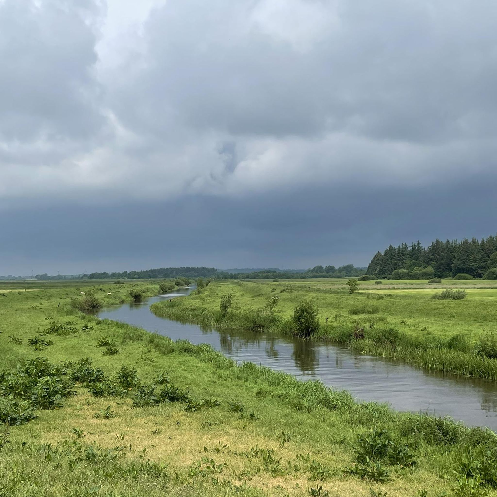
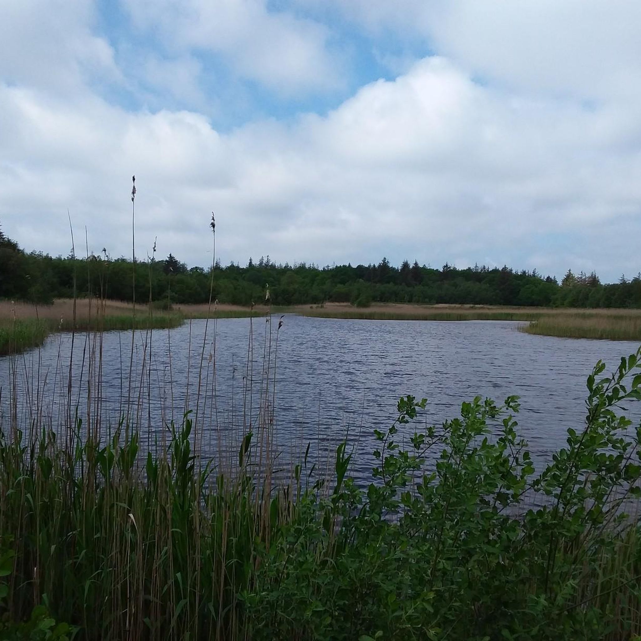
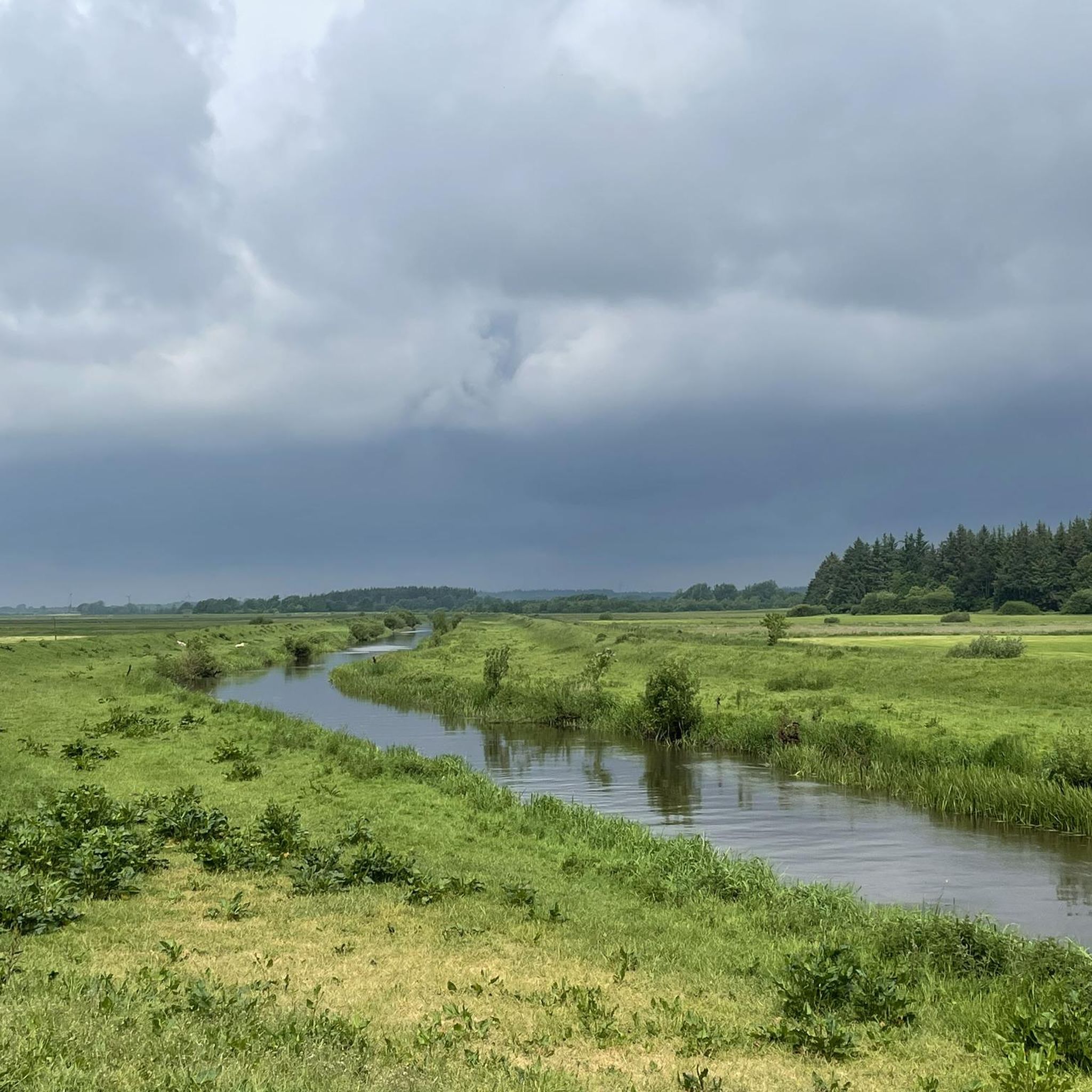
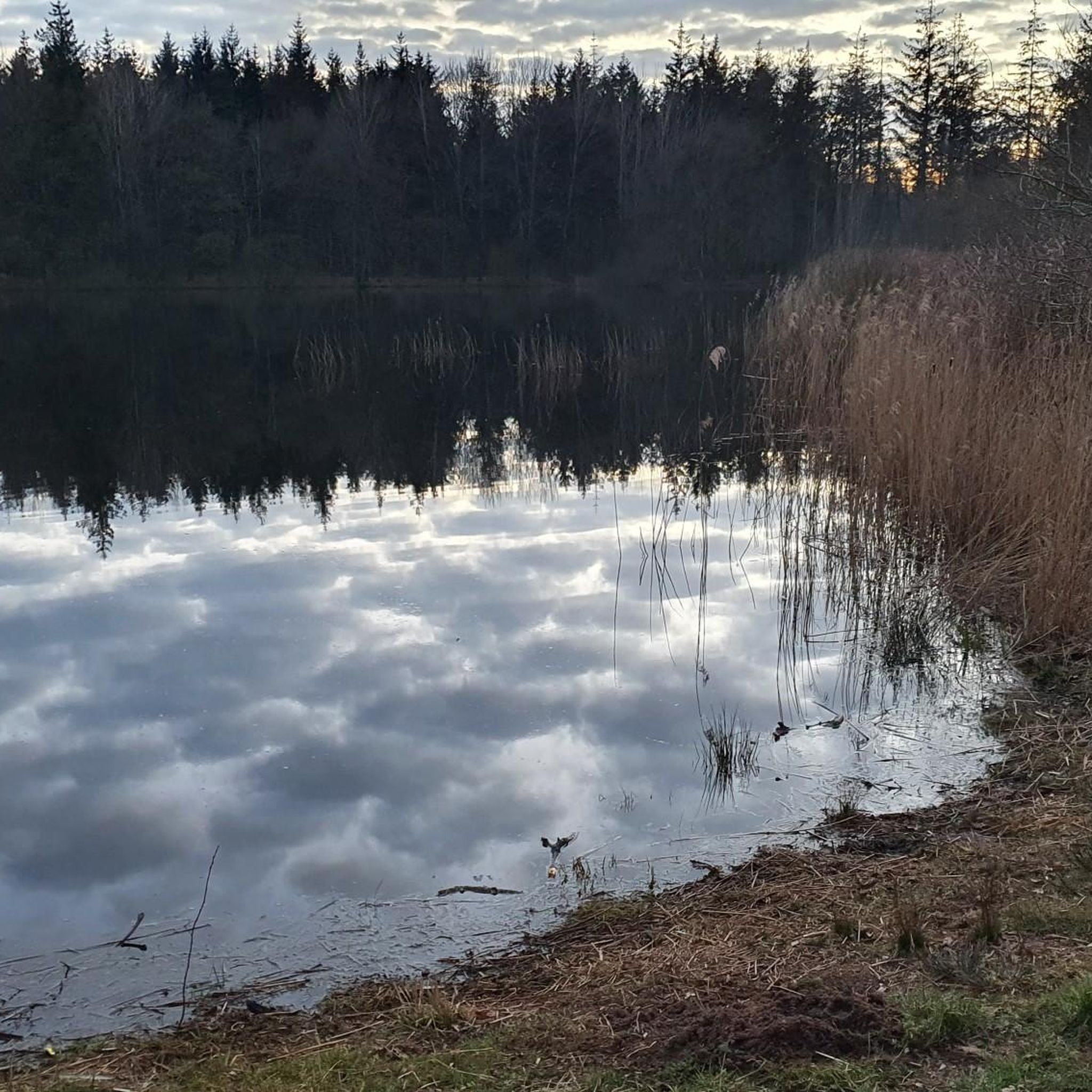
Hiking in Lütjenholmer Und Bargumer Heide offers trails through a distinctive natural landscape characterized by dynamic dune and shifting sand systems, including inland dunes. This NATURA 2000 protected area features diverse habitats such as heathland, bushes, forest areas, and moor areas. The region is situated at the western edge of the Schleswig-Holsteinische Geest, transitioning into marshland, with the Soholmer Au flowing nearby. An inland dune ridge within the NSG Lütjenholmer Heidedünen reaches an elevation of 8.8 meters above sea level.
…Last updated: October 13, 2026
5.0
(1)
8
hikers
Easy hike. Great for any fitness level. Easily-accessible paths. Suitable for all skill levels.
4.0
(2)
6
hikers
Moderate hike. Good fitness required. Easily-accessible paths. Suitable for all skill levels.

4
hikers
Moderate hike. Good fitness required. Easily-accessible paths. Suitable for all skill levels.
5.0
(1)
6
hikers
7.51km
01:56
40m
40m
Easy hike. Great for any fitness level. Easily-accessible paths. Suitable for all skill levels.
5
hikers
7.03km
01:48
30m
30m
Easy hike. Great for any fitness level. Easily-accessible paths. Suitable for all skill levels.
Get access to more routes and recommendations from other explorers.
Already have an account?
Our route recommendations are based on thousands of hikes, rides, and runs completed by other people on komoot.
Start today with a free account
Your next adventure awaits.
Tips from the Community


Very nice place to take a little break.
1
0

Nice rest area; also covered. There is also an information board about the old inns along the Ochsenweg
1
0

Completely wrongly placed... it's a bit further east... 🙈️
0
0

Go up the small ladder, there is a beautiful view
0
0

A nice corner to take a break. It looks a bit like the Lüneburg Heath. A nice corner.
0
0
Frequently Asked Questions
How many hiking trails are available in Lütjenholmer und Bargumer Heide?
There are over 350 hiking routes in Lütjenholmer und Bargumer Heide, catering to various preferences. The majority, more than 260, are rated as easy, with about 90 moderate trails and a few more challenging options.
Are there family-friendly hiking options in Lütjenholmer und Bargumer Heide?
Yes, Lütjenholmer und Bargumer Heide is well-suited for family outings. Many trails are easy and accessible, perfect for short excursions or walks with children. A great example is the Heathland Nature Trail – Lütjenholmer Heath Dunes loop from Lütjenholmer Heidedünen, which is an easy 3.2 km route.
What kind of terrain can I expect on the hiking trails?
The region is characterized by a unique mix of landscapes. You'll encounter dynamic dune and shifting sand systems, including impressive inland dunes, alongside expansive heathland, bushes, forest areas, and even moor areas. Paths are generally easily accessible, offering a varied natural experience.
Are there any circular hiking routes in Lütjenholmer und Bargumer Heide?
Yes, many of the trails in Lütjenholmer und Bargumer Heide are designed as circular routes, allowing you to start and end at the same point. For instance, the Heathland Nature Trail – Lütjenholmer Heath Dunes loop from Lütjenholm offers a moderate 8.7 km circular experience through the protected heath and dune landscape.
What natural attractions or landmarks can I see while hiking?
Hikers can explore impressive inland dunes, particularly in areas like the Bargumer Heide and Lütjenholmer Heidedünen. The region also features diverse habitats including heathland, forests, and moor areas, with the Soholmer Au flowing nearby. Additionally, a prehistoric burial mound offers a point of historical interest within the StOÜbPl Lütjenholm sub-area.
Is Lütjenholmer und Bargumer Heide suitable for dog owners?
While the guide data doesn't specify dog-friendly trails, many natural areas in Germany allow dogs on leash. Given the region's expansive heathland and forest areas, it's generally a good place for walks with dogs. Always ensure your dog is kept on a leash, especially in protected nature reserves like the Lütjenholmer Heidedünen, to protect local wildlife.
What is the best time of year to hike in Lütjenholmer und Bargumer Heide?
The Lütjenholmer und Bargumer Heide offers unique beauty throughout the year. Spring and summer bring vibrant flora and active wildlife, while late summer and early autumn showcase the heath in full bloom, creating stunning purple landscapes. Winter can offer peaceful, crisp walks, though conditions may vary.
What kind of wildlife might I encounter?
The area is a crucial habitat for diverse wildlife. You might spot warmth-loving insects like rare butterflies, digger wasps, and tiger beetles, as well as spiders and the uncommon Ural ant. Other rare animal species found here include partridges, sand lizards, and adders, particularly in the varied heathland and moor ecosystems.
How do other hikers rate the trails in Lütjenholmer und Bargumer Heide?
The routes in Lütjenholmer und Bargumer Heide are highly rated by the komoot community, with an average score of 4.5 stars from over 600 reviews. Hikers often praise the unique inland dune landscapes, the peaceful heathland, and the well-maintained paths that make for enjoyable outdoor experiences.
Are there any longer, moderate hikes available?
Yes, for those looking for a longer experience, there are several moderate trails. The Soholmer Au – Heathland Nature Trail loop from Biogas Goldelund GmbH & Co.KG is a moderate 9.4 km trail that leads through heathland and along the Soholmer Au, typically taking about 2 hours 23 minutes to complete.
Where can I find parking for the trailheads?
While specific parking locations are not detailed in the guide, popular trailheads for nature reserves and hiking areas typically have designated parking facilities nearby. It is advisable to check local signage or online maps for parking options close to your chosen starting point, such as near the Lütjenholmer Heidedünen or Lütjenholm.
What is the highest point I can reach on a hike?
Within the NSG Lütjenholmer Heidedünen sub-area, there is an inland dune ridge that reaches a peak elevation of 8.8 meters above sea level. While not a high mountain, this elevation offers a distinct perspective over the unique dune and heath landscape.
Most popular routes in Lütjenholmer Und Bargumer Heide

Get inspired with the komoot mobile app


Explore more
Browse the best Hikes in other regions.
