The best walks and hikes around Hofstetten-Grünau
4.5
(1367)
9,726
hikers
37
hikes
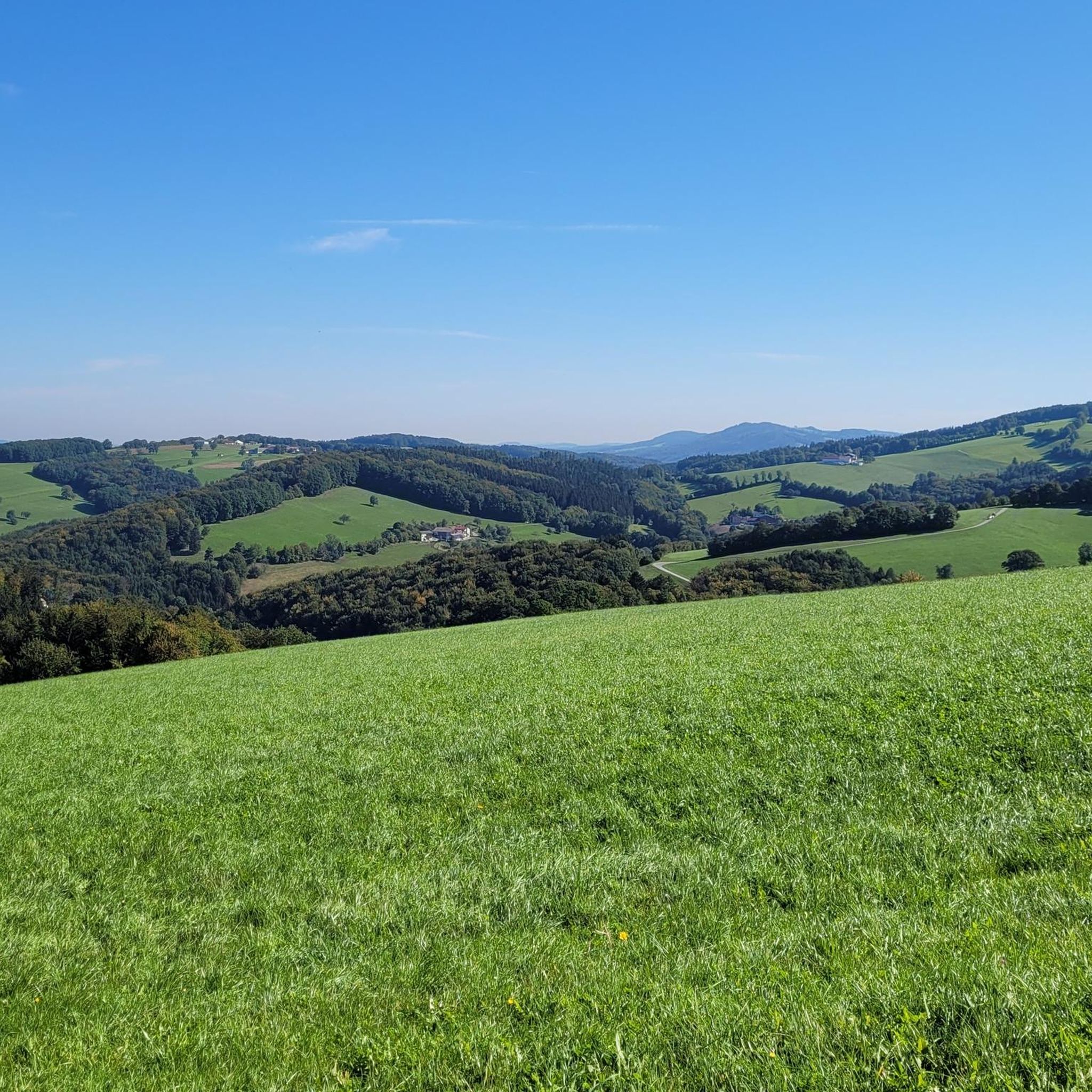
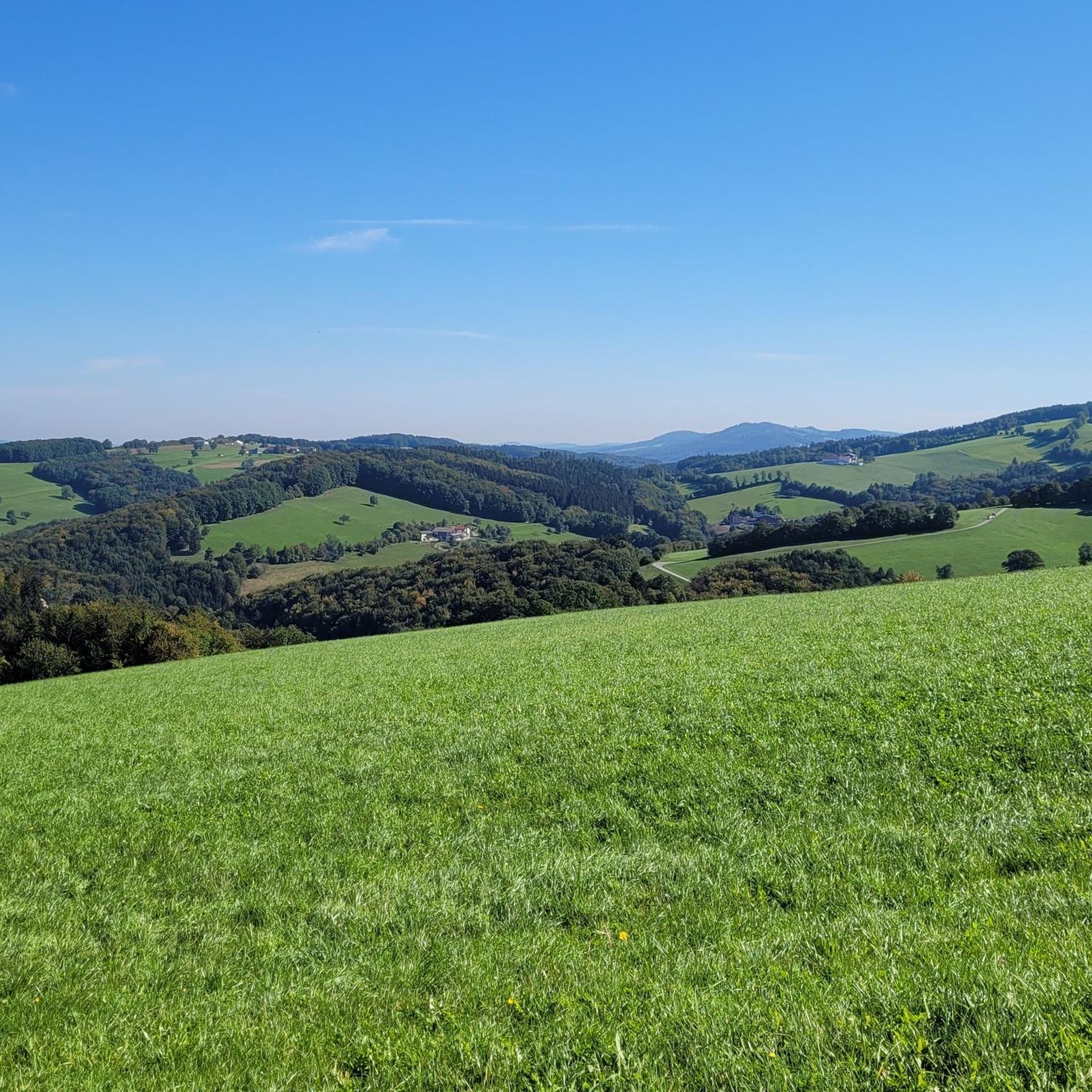
Hiking around Hofstetten-Grünau offers diverse trails through the Pielachtal region in Lower Austria. The landscape is characterized by rolling hills, dense forests, and clear streams, providing varied terrain for outdoor activities. Hikers can experience views of the Pielach river valley and distant vistas of the Ötscher mountain and the Waldviertel region. The area features a network of well-signposted paths suitable for different fitness levels.
Best hiking trails around Hofstetten-Grünau
- The most popular hiking route is Summit Cross Restenbauer Höhe – View of the Pielach River loop from Hofstetten-Grünau, an 8.1 miles (13.0 km) trail that takes 3 hours 43 minutes to complete. This moderate route features significant elevation gain and panoramic views of the Pielach River.
- Another top favourite among local hikers is View of the Pielach River – View of Hofstetten-Grünau loop from Hofstetten-Grünau, a moderate 5.4 miles (8.8 km) path. This trail offers continuous views of the Pielach River and the surrounding Hofstetten-Grünau area.
- Local hikers also love the Mostbrunnen Weinburg – Grünau Church loop from Hofstetten-Grünau, a 6.0 miles (9.7 km) trail leading through varied landscapes, often completed in about 2 hours 39 minutes.
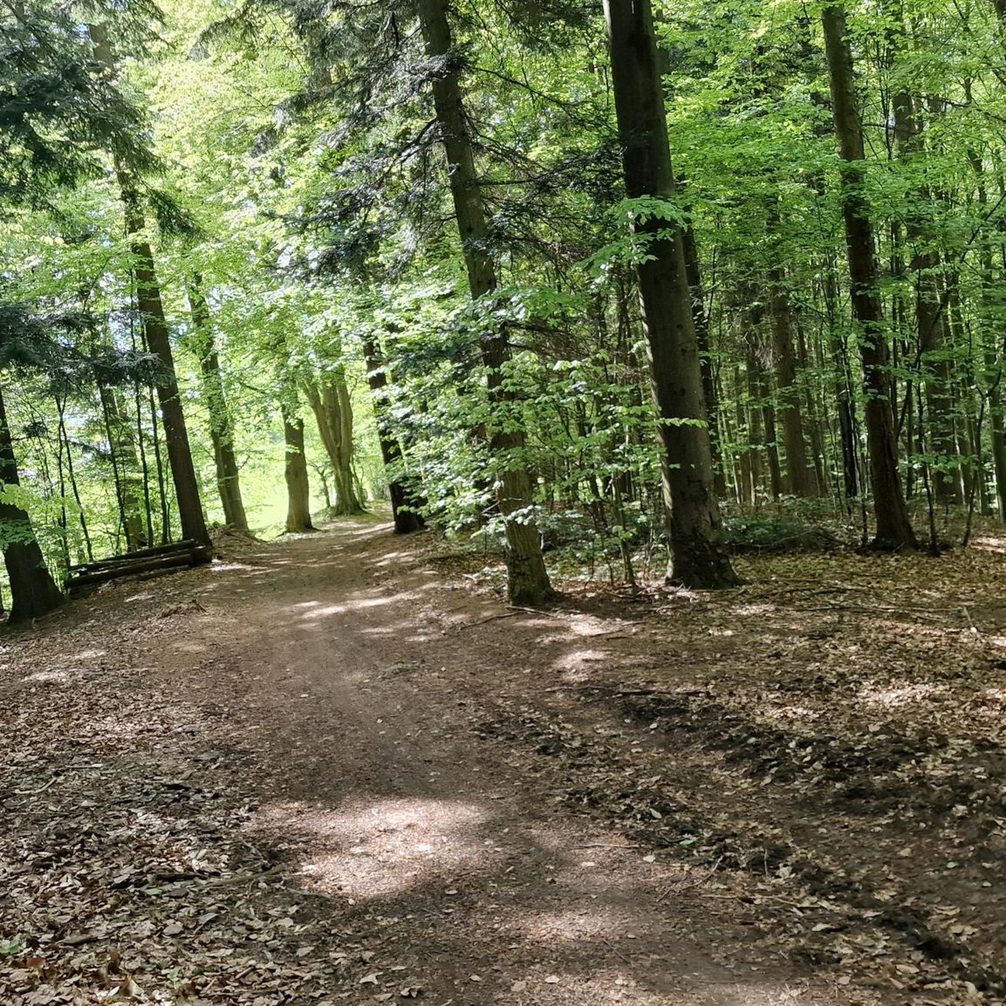
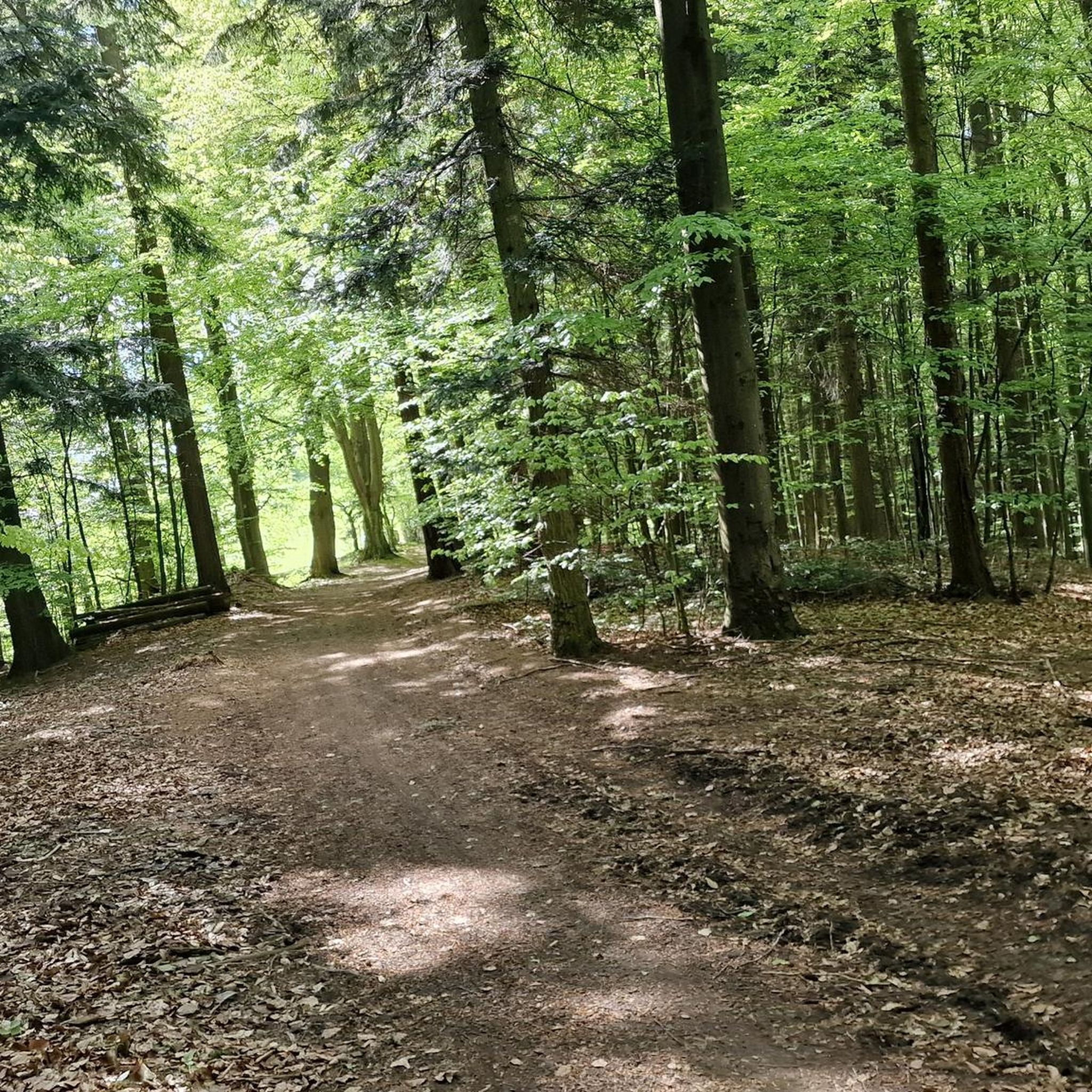
- Hiking around Hofstetten-Grünau is defined by rolling hills, dense forests, and river valleys. The network offers options for different ability levels, including easy paths and more challenging moderate trails.
- The routes in Hofstetten-Grünau are highly rated by the komoot community with an average score of 4.6 stars from over 450 reviews. More than 3,800 hikers have used komoot to explore Hofstetten-Grünau's varied terrain.
Last updated: June 28, 2026
4.9
(8)
50
hikers
Moderate hike. Good fitness required. Easily-accessible paths. Suitable for all skill levels.
4.8
(9)
47
hikers
Moderate hike. Good fitness required. Easily-accessible paths. Suitable for all skill levels.

Sign up for free
4.6
(7)
29
hikers
9.74km
02:39
140m
140m
Moderate hike. Good fitness required. Easily-accessible paths. Suitable for all skill levels.
4.3
(3)
15
hikers
8.90km
02:30
180m
180m
Moderate hike. Good fitness required. Easily-accessible paths. Suitable for all skill levels.
25
hikers
4.67km
01:11
10m
10m
Easy hike. Great for any fitness level. Easily-accessible paths. Suitable for all skill levels.
Get access to more routes and recommendations from other explorers.
Sign up for free
Already have an account?
Our route recommendations are based on thousands of hikes, rides, and runs completed by other people on komoot.
Start today with a free account
Your next adventure awaits.
Login or Signup

Tips from the Community

From Gerhard Hager, then head of local history research for Hofstetten-Grünau, it was said on the occasion of its erection: „May the cross stand as a widely visible sign on the highest elevation of the market town of Hofstetten-Grünau. The glass painting invites meditative contemplation and is intended to enable access to a personal encounter with God. The sunlight should express the power of life, the power of nature, all the possibilities given to us. May the cross become a destination for many hikers. Nevertheless, the hill with the cross should remain a place of peace, retreat, and reflection. As head of local history research for Hofstetten-Grünau, I am delighted with the successful work and once again say a heartfelt „Thank you“ to all involved.“
1
0

Great view. Beautiful area.
1
0

If you ride the Hofstettner MTB route you will pass many beautiful shrines, like this one.
1
0
A beautiful church right next to the Hofstettner MTB route
1
0
What a great idea to build this, you can quench your thirst here!
1
0

Also suitable for gravel bikes, one of my favorite sections
1
0

Casusal walk with normal running Shops alone river Pielach
0
0

...visit the forest chapel about 3km from the Mostbrunnen and observe a minute's silence.
0
0
Frequently Asked Questions
How many hiking trails are available in Hofstetten-Grünau?
Hofstetten-Grünau offers a network of over 35 hiking trails, catering to various preferences and fitness levels. These routes traverse the picturesque Pielachtal region, featuring rolling hills, dense forests, and clear streams.
Are there easy hiking trails suitable for beginners or families with children?
Yes, Hofstetten-Grünau has 17 easy hiking trails perfect for beginners or families. One notable option is The coffee house loop from Hofstetten-Grünau, an easy 4.7 km path. The region also features local paths like the Milch und Honig Lehrpfad (Milk and Honey Educational Trail), which is great for a leisurely family outing.
What kind of terrain and elevation can I expect on hikes around Hofstetten-Grünau?
The hiking trails around Hofstetten-Grünau are characterized by rolling hills, dense forests, and river valleys. While many routes are moderate, offering significant elevation gains for panoramic views, there are also easier paths with minimal ascent. For example, the Summit Cross Restenbauer Höhe – View of the Pielach River loop from Hofstetten-Grünau involves over 300 meters of elevation gain, providing rewarding vistas.
Are there any circular hiking routes in Hofstetten-Grünau?
Yes, the area is well-suited for circular hikes. Many trails are designed as loops, allowing you to start and end at the same point. A great example is the Grünau Church – Picnic spot loop from Hofstetten-Grünau, which is a moderate 8.9 km circular route.
What natural features or landmarks can I see along the hiking trails?
Hikers can enjoy stunning natural scenery including views of the Pielach river valley, distant vistas of the Ötscher mountain, and the Waldviertel region. The area also features several interesting points of interest. You might encounter huts like the Lilienfelder Hut or the Kaiserkogel and Kaiserkogel Hut. For water features, consider visiting Pielachtal Camping and Swimming Pond or Ebersdorfer Lake.
Is Hofstetten-Grünau accessible by public transport for hikers?
Yes, Hofstetten-Grünau is conveniently located near the Mariazell Railway, making it easily accessible from St. Pölten. This scenic railway offers an alternative way to experience the landscape and provides access points for various hiking routes.
What do other hikers enjoy most about hiking in Hofstetten-Grünau?
The komoot community highly rates the hiking experience in Hofstetten-Grünau, with an average score of 4.6 stars from over 450 reviews. Hikers often praise the diverse terrain, the continuous views of the Pielach River, and the well-marked paths that cater to different ability levels. The natural beauty and tranquility of the Pielachtal region are frequently highlighted.
Are there any specific trails that offer continuous views of the Pielach River?
Yes, several trails offer excellent views of the Pielach River. The View of the Pielach River – View of Hofstetten-Grünau loop from Hofstetten-Grünau is a moderate 8.8 km path specifically known for its continuous views of the river and the surrounding area.
Can I find places to rest or eat along the hiking routes?
The Pielachtaler Rundwanderweg, an extensive trail passing through the region, offers inviting inns along its route. Additionally, komoot lists various huts and facilities like Florian's Teichstüberl and Rest Area by the Pond, which can serve as resting points or places to grab a bite.
What is the Pielachtaler Pilgerweg?
The Pielachtaler Pilgerweg (Pielachtal Pilgrimage Trail) is a suggested tour for visitors, offering a unique way to experience the region's landscapes and cultural heritage. While specific details vary, pilgrimage trails often provide a reflective and scenic hiking experience.
Are there any educational trails in the area?
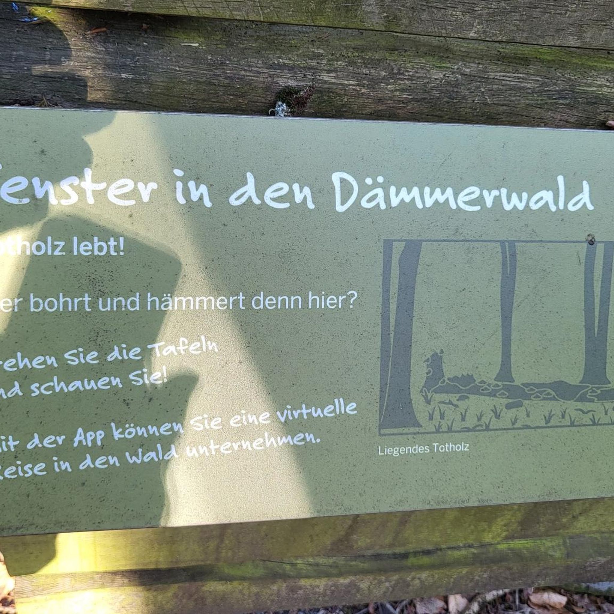
Yes, the region offers themed trails such as the Milch und Honig Lehrpfad (Milk and Honey Educational Trail). These paths combine hiking with learning about local nature, agriculture, or history, making them engaging for all ages.
Most popular routes around Hofstetten-Grünau
Most popular attractions around Hofstetten-Grünau

Get inspired with the komoot mobile app


Explore more
Browse the best Hikes in other regions.
