The best walks and hikes in Elbvorland Zwischen Radegast Und Barförde
4.6
(1554)
6,071
hikers
434
hikes
Hiking trails in Elbvorland Zwischen Radegast Und Barförde are characterized by the Elbe River and its extensive floodplains, forming a dynamic ecosystem. The region is part of the UNESCO Biosphere Reserve "Elbe River Landscape," featuring impressive dikes that offer views of the river. Diverse landscapes include expansive meadows, floodplain forests, ancient moraine remnants known as "Geestinseln," and sand fields that have transformed into dunes. The topography is generally flat, providing accessible hiking conditions.
Best hiking trails in Elbvorland Zwischen Radegast…
Last updated: July 11, 2026
4.4
(36)
118
hikers
5.03km
01:37
60m
60m
Easy hike. Great for any fitness level. Easily-accessible paths. Suitable for all skill levels.
4.9
(47)
157
hikers
Moderate hike. Good fitness required. Easily-accessible paths. Suitable for all skill levels.

Sign up for free
4.6
(33)
111
hikers
23.1km
06:00
150m
150m
Hard hike. Very good fitness required. Easily-accessible paths. Suitable for all skill levels.
4.4
(13)
64
hikers
Easy hike. Great for any fitness level. Easily-accessible paths. Suitable for all skill levels.
4.5
(11)
43
hikers
Hard hike. Very good fitness required. Easily-accessible paths. Suitable for all skill levels.
Get access to more routes and recommendations from other explorers.
Sign up for free
Already have an account?
Our route recommendations are based on thousands of hikes, rides, and runs completed by other people on komoot.
Start today with a free account
Your next adventure awaits.
Login or Signup
Popular around Elbvorland Zwischen Radegast Und Barförde
Tips from the Community

Unfortunately, the facility has aged a bit and the exhibition is no longer didactically modern. Some exhibits are defective, pictures are faded, and the aquarium panes are mossy. A barrier made of construction fence elements has been standing at the tower for more than 2 years. The content is interesting, but more could be made of it.
0
0

Market day on Wednesday. Unfortunately, nothing for me.
0
0

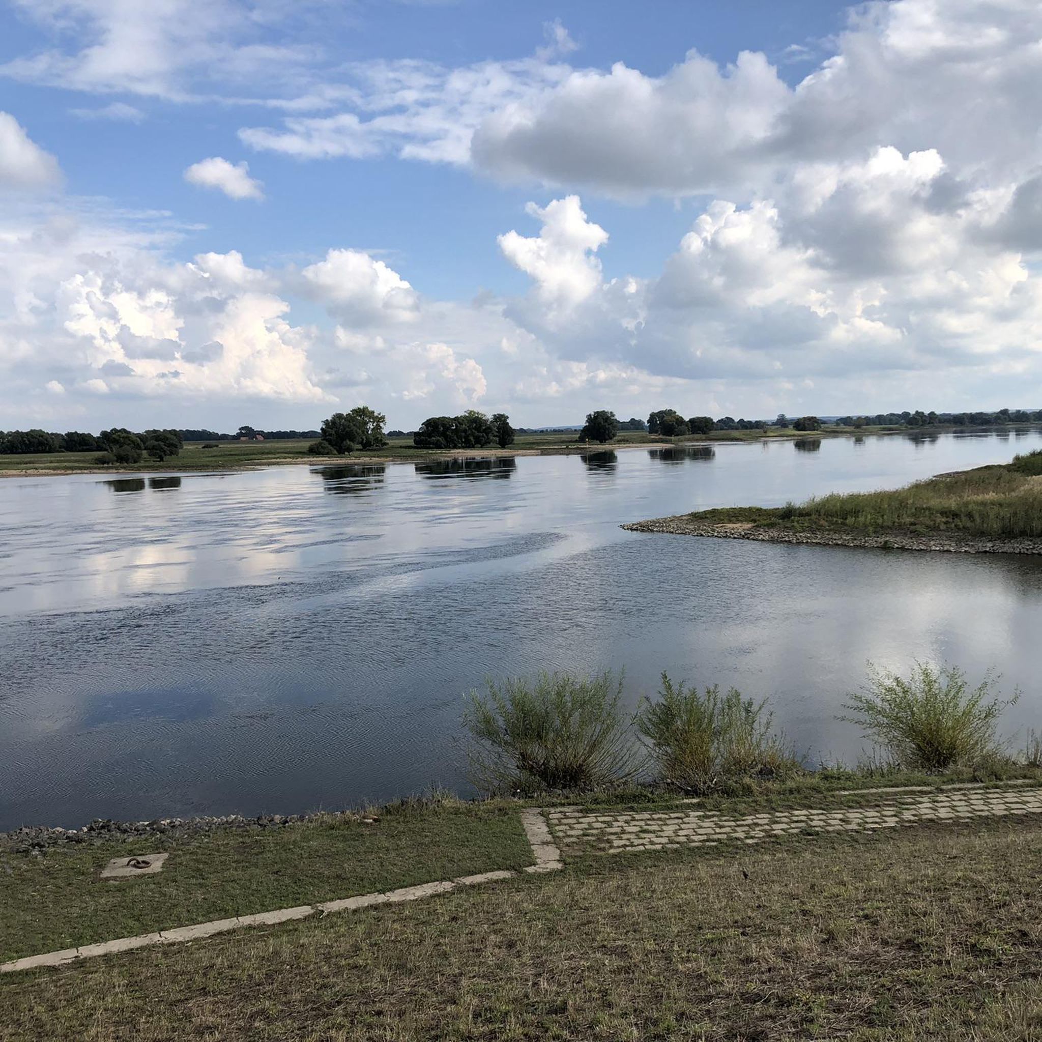
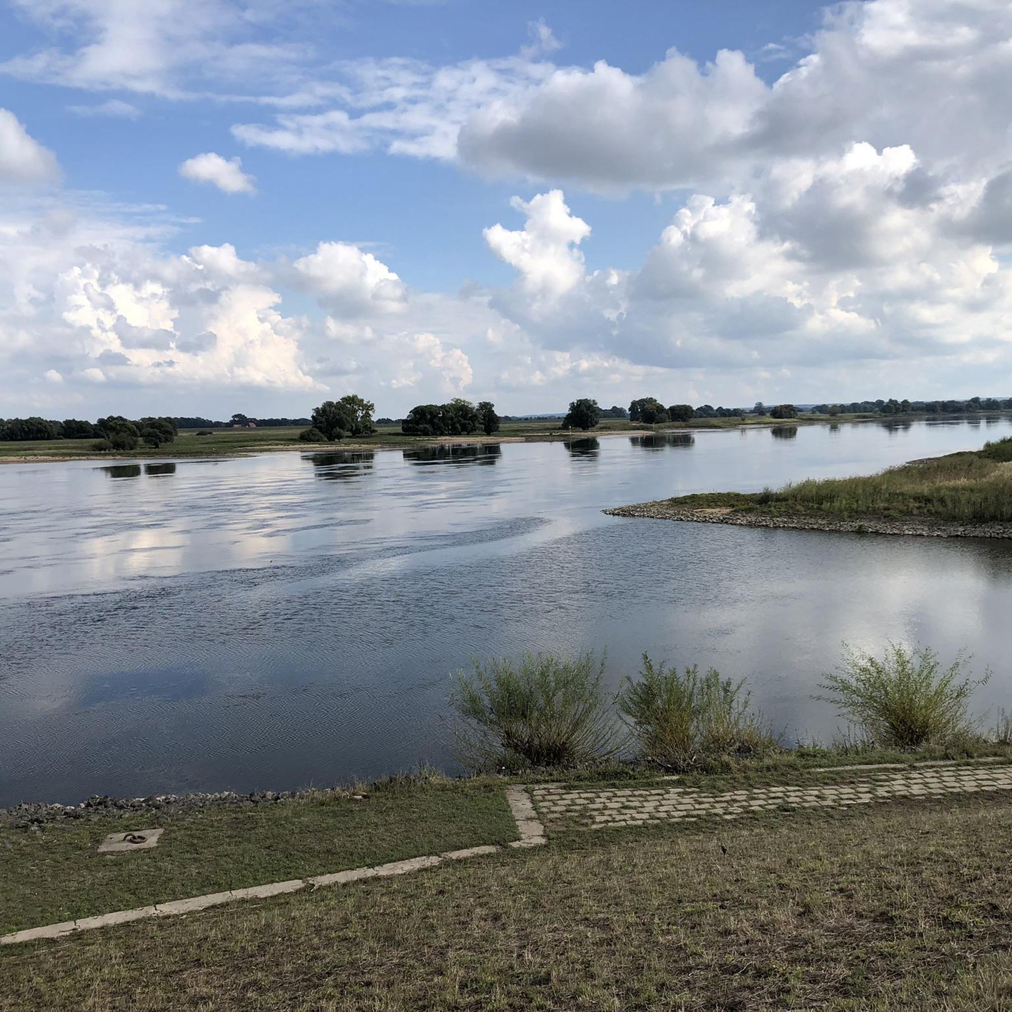
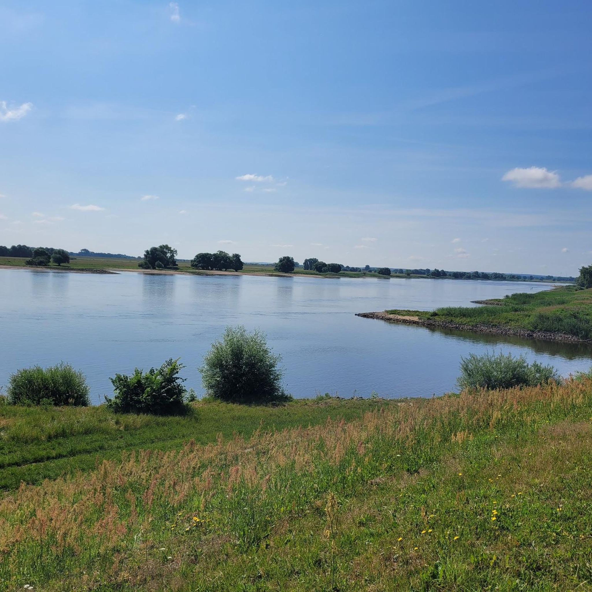
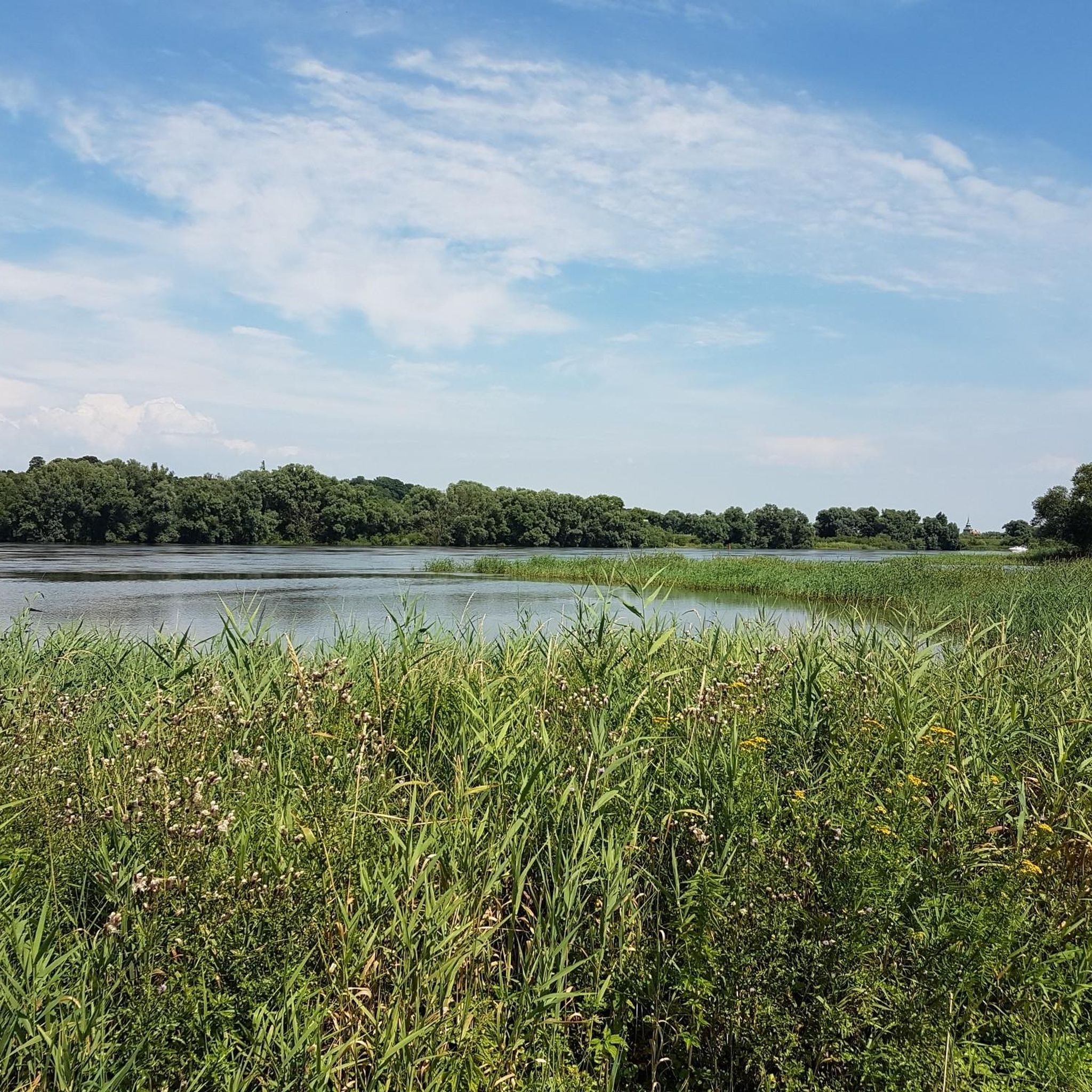
A great cycling route and hiking trails lead along here, offering views of the Elbe from the dike.
1
0

St. Mary's Church in Boizenburg is a predominantly Gothic brick hall church, the core of which dates back to a Romanesque fieldstone building from the 13th century. Almost completely destroyed in a fire in 1709, it was rebuilt between 1717 and 1754 and later remodeled in the Neo-Gothic style in the 19th century. The tower, windows, and nave today display a blend of Romanesque, Gothic, and Baroque elements—a historic work of art in the heart of the old town.
0
0

From here you have a fantastic view of the old town of Lauenburg with its red clinker facades and its pointed church tower.
0
0

Here you can still enjoy a view of the Elbe, almost all other places are closed due to the danger of falling
0
0

Living on a river like the Elbe has many advantages that people have enjoyed for centuries. At the same time, people needed to protect themselves from the dangers of flooding, so they built dikes and dams. The open-air exhibition EinFlussReich, located in the immediate vicinity of the famous Elwkieker observation tower, provides children and adults with playful content on the topic of flooding. They can learn how people experienced the flooding on the Elbe, how effective flood protection is, and which flood protection projects have already been implemented along the Elbe. Become a decision-maker yourself with our interactive exhibition elements and see if your flood protection measures will help protect Boizenburg from flooding.
0
0

From the Auwiesen headland between the Elbe and the Elbe-Lübeck Canal there is this great view of Lauenburg.
1
0
Frequently Asked Questions
How many hiking trails are available in Elbvorland Zwischen Radegast Und Barförde?
There are over 420 hiking trails in Elbvorland Zwischen Radegast Und Barförde, offering a wide range of options for different abilities and preferences. You'll find everything from easy strolls along the dikes to more moderate excursions through the floodplains.
What kind of terrain can I expect on hikes in this region?
The landscape is predominantly shaped by the Elbe River and its extensive floodplains, featuring impressive dikes that offer picturesque views. You'll also encounter expansive meadows, Germany's last large contiguous floodplain forests, ancient moraine remnants known as "Geestinseln," and sand fields that have transformed into dunes. The topography is generally flat, making for comfortable hiking conditions.
Are there easy or family-friendly hiking options in Elbvorland Zwischen Radegast Und Barförde?
Yes, the region is very accessible, with over 260 easy routes. Many paths are suitable for families and beginners due to the generally flat topography. An example of an easy route is On the Green Belt in the Vierwald, which is 3.1 miles (5.0 km) long and features steady climbs and views of the Vierwald area.
Can I bring my dog on the hiking trails?
Many trails in Elbvorland Zwischen Radegast Und Barförde are suitable for walks with dogs. However, as the region is part of the UNESCO Biosphere Reserve "Elbe River Landscape" and includes nature reserves, it's important to keep dogs on a leash, especially in protected areas, to protect local wildlife and ensure a pleasant experience for all hikers.
What wildlife can I observe while hiking in the Elbe floodplains?
The flood-influenced environment of the Elbe River Landscape is a haven for wildlife. Birdwatchers can spot species like gray herons, whooper swans, majestic white-tailed eagles, red kites, and storks. The area also provides crucial habitats for beavers and otters, making it a rich experience for nature enthusiasts.
Are there any circular hiking routes available?
Yes, many of the hiking routes in Elbvorland Zwischen Radegast Und Barförde are circular, allowing you to start and end at the same point. An example is the Ponds by the Elbe – Radegast Village loop from Naturschutzgebiet Elbdeichvorland, a 3.5 miles (5.7 km) trail leading through the Elbe floodplains and past historic villages.
What are some interesting landmarks or attractions to see along the trails?
Beyond its natural beauty, the area offers cultural glimpses. You can admire historic half-timbered houses, particularly in Radegast and Brackede. A notable point of interest is the Radegast rest area with views of the Elbe, providing scenic vistas. Routes like the Biosphärium Elbtalaue – Bleckede Old Town loop from Naturschutzgebiet Elbdeichvorland combine natural exploration with opportunities to discover local towns and their history.
What do other hikers enjoy most about hiking in Elbvorland Zwischen Radegast Und Barförde?
The routes in Elbvorland Zwischen Radegast Und Barförde are highly rated by the komoot community, with an average score of 4.6 stars from over 1,300 reviews. Hikers often praise the serene Elbe River views, the diverse natural landscapes, and the well-maintained dikes that make for enjoyable and accessible walks.
Is it possible to reach the hiking trails using public transport?
While specific public transport connections to every trailhead can vary, the region is generally accessible. It's advisable to check local bus schedules or regional train services to nearby towns like Bleckede or Radegast, and then plan your hike from there. Some routes might require a short walk or taxi ride from the nearest public transport stop.
Are there any cafes or rest stops along the hiking routes?
Yes, you'll find opportunities for rest and refreshments. Historic villages like Radegast and Brackede often have local eateries or cafes. Additionally, there are designated rest areas, such as the Radegast rest area with views of the Elbe, and even facilities like the Elbe Cycle Path rest area with e‑bike charging station and view of the Elbe, which can be convenient for hikers as well.
What is the typical duration and distance of hikes in this area?
Hikes in Elbvorland Zwischen Radegast Und Barförde vary in length and duration. You can find shorter, easy walks like On the Green Belt in the Vierwald, which is about 3.1 miles (5.0 km) and takes around 1 hour 37 minutes. There are also longer, moderate routes such as the Elbe River Floodplain near Heisterbusch loop, covering about 5.8 miles (9.4 km) in roughly 2 hours 20 minutes.
Are there any moderate hiking trails for those looking for a bit more challenge?
Absolutely. While much of the region is flat, there are moderate trails that offer longer distances or slightly more varied terrain. For instance, the View of the Elbe River – Former Border Patrol Path loop is a moderate 5.6 miles (8.9 km) route that takes approximately 2 hours 23 minutes to complete, offering a good balance of distance and scenic views.
Most popular routes in Elbvorland Zwischen Radegast Und Barförde
Most popular attractions in Elbvorland Zwischen Radegast Und Barförde

Get inspired with the komoot mobile app


Explore more
Browse the best Hikes in other regions.
