The best walks and hikes in Wümmeniederung Mit Rodau, Wiedau Und Trochelbach
4.6
(9034)
31,611
hikers
70
hikes
Hiking trails in Wümmeniederung Mit Rodau, Wiedau Und Trochelbach traverse a diverse natural landscape shaped by the Wümme river and its tributaries, Rodau, Wiedau, and Trochelbach. The region features extensive floodplains with grasslands, reed beds, and riparian forests. Hikers can explore varied ecosystems including moor, oak, and beech mixed forests, as well as distinctive sand heath complexes and former wandering dunes like the Vossberge. This area offers a network of trails through low-lying riverine environments and unique geological formations.
Best…
Last updated: July 12, 2026
4.7
(68)
240
hikers
33.4km
08:27
60m
60m
Hard hike. Very good fitness required. Easily-accessible paths. Suitable for all skill levels.
4.8
(114)
353
hikers
Easy hike. Great for any fitness level. Easily-accessible paths. Suitable for all skill levels.

Sign up for free
4.8
(25)
67
hikers
5.65km
01:26
10m
10m
Easy hike. Great for any fitness level. Easily-accessible paths. Suitable for all skill levels.
4.8
(29)
77
hikers
6.30km
01:35
10m
10m
Easy hike. Great for any fitness level. Easily-accessible paths. Suitable for all skill levels.
5.0
(20)
47
hikers
4.35km
01:06
10m
10m
Easy hike. Great for any fitness level. Easily-accessible paths. Suitable for all skill levels.
Get access to more routes and recommendations from other explorers.
Sign up for free
Already have an account?
Our route recommendations are based on thousands of hikes, rides, and runs completed by other people on komoot.
Start today with a free account
Your next adventure awaits.
Login or Signup
Popular around Wümmeniederung Mit Rodau, Wiedau Und Trochelbach
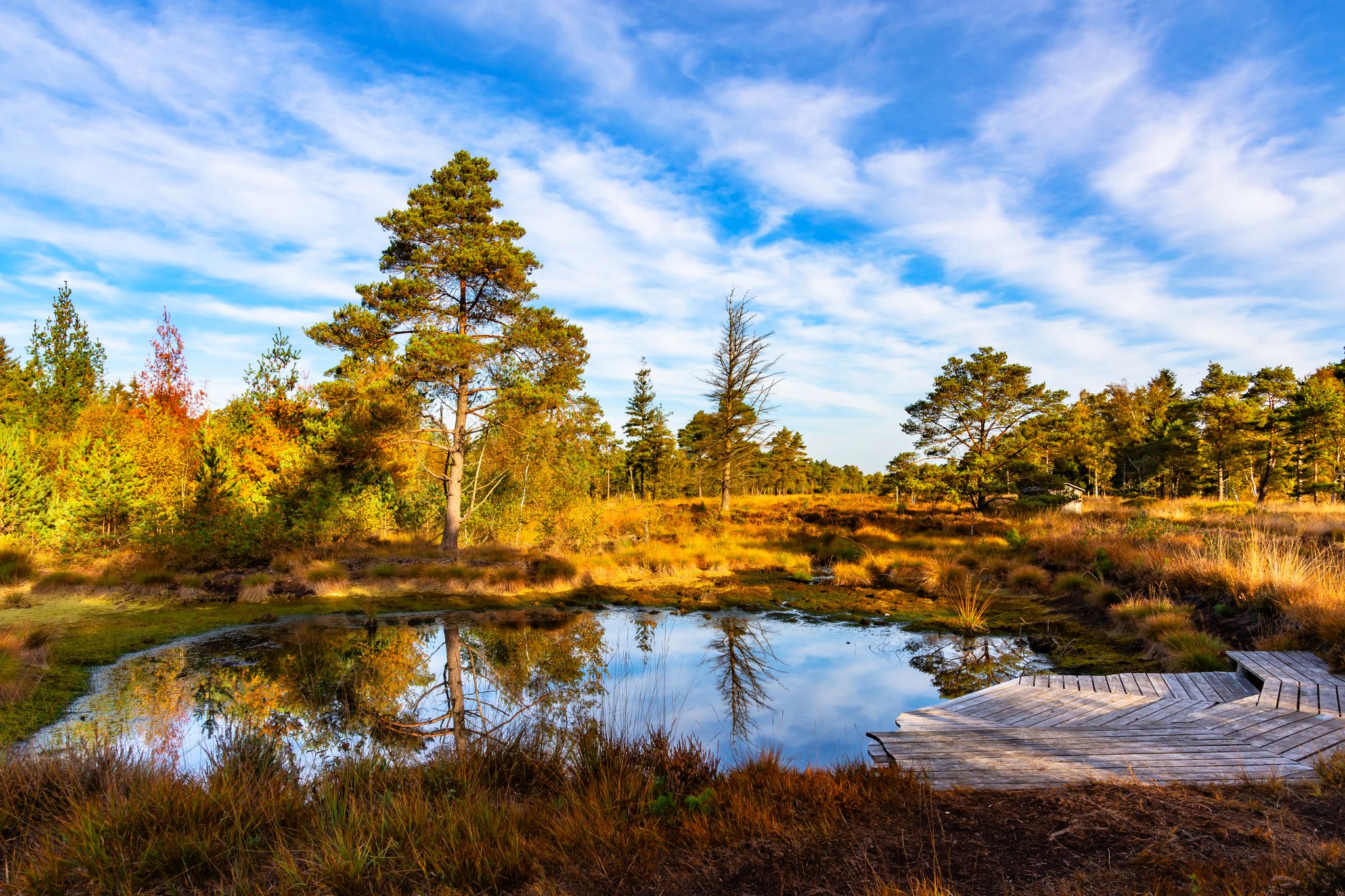
NORDPFADE – flat, wide, unique!
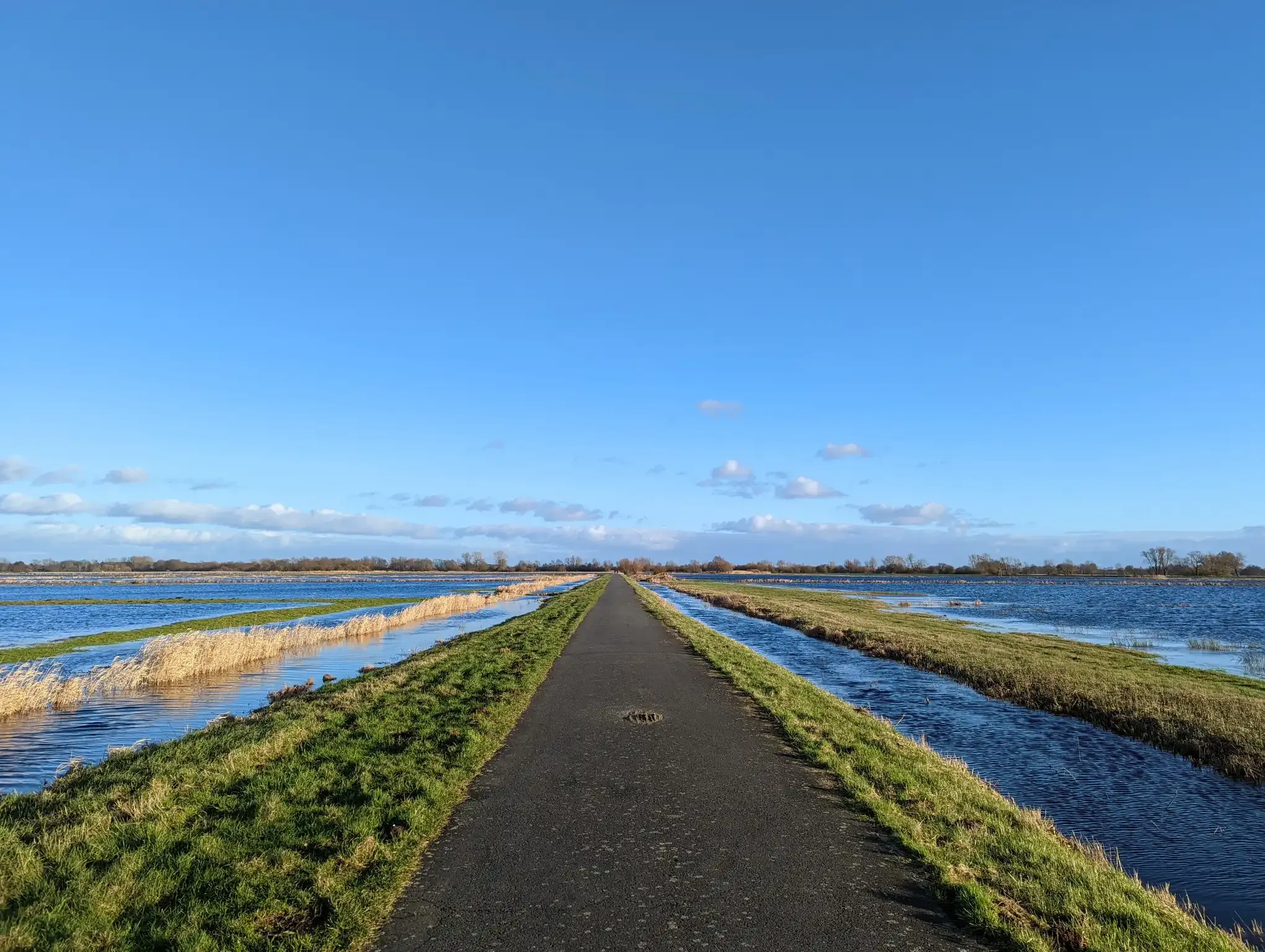
Through open meadows on the Wümme Cycle Route
Road Cycling Routes in Wümmeniederung Mit Rodau, Wiedau Und Trochelbach
MTB Trails in Wümmeniederung Mit Rodau, Wiedau Und Trochelbach
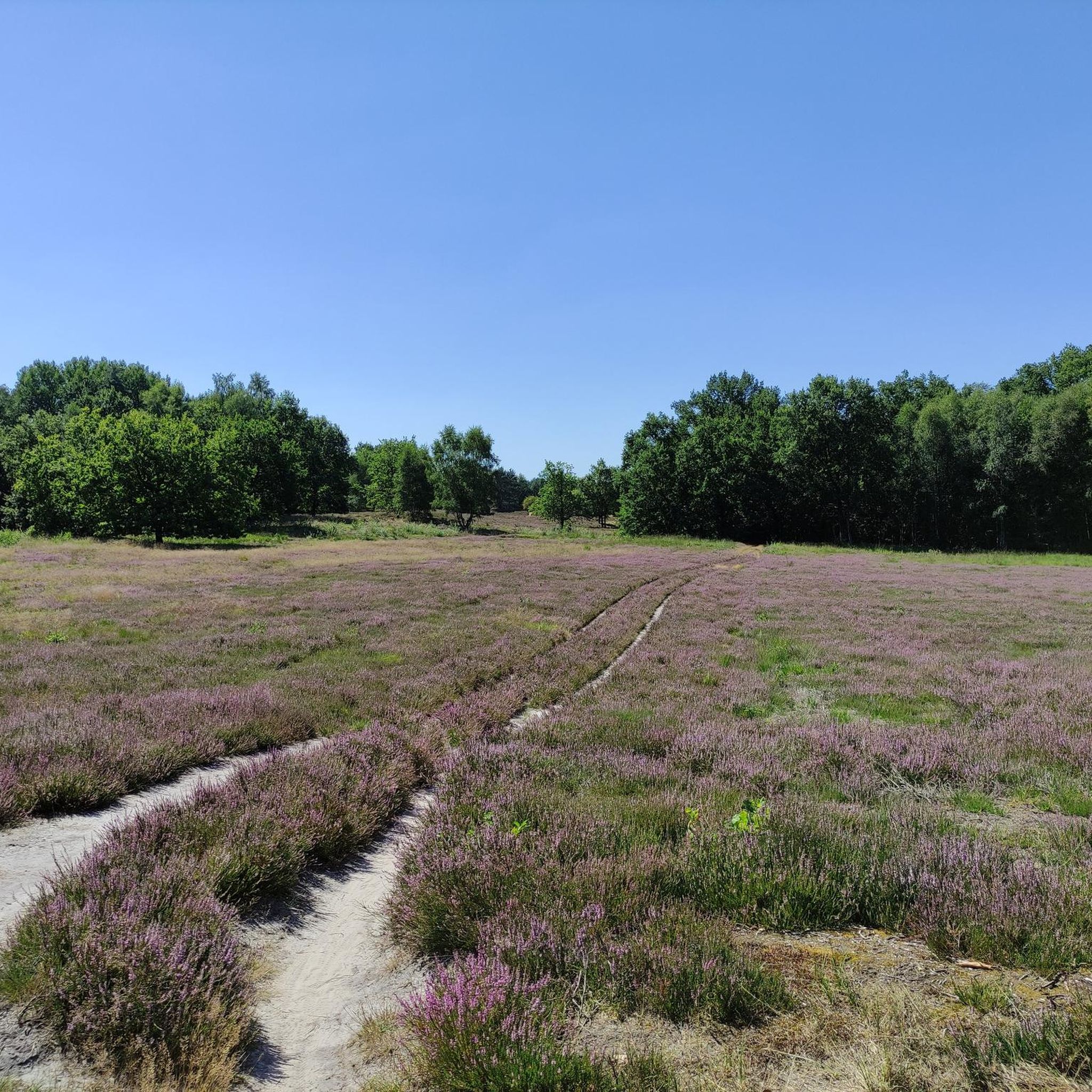
Cycling in Wümmeniederung Mit Rodau, Wiedau Und Trochelbach
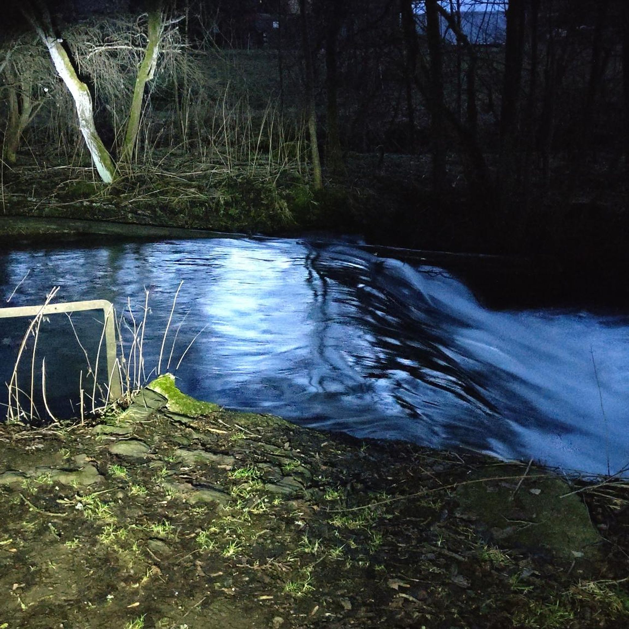
Gravel biking in Wümmeniederung Mit Rodau, Wiedau Und Trochelbach
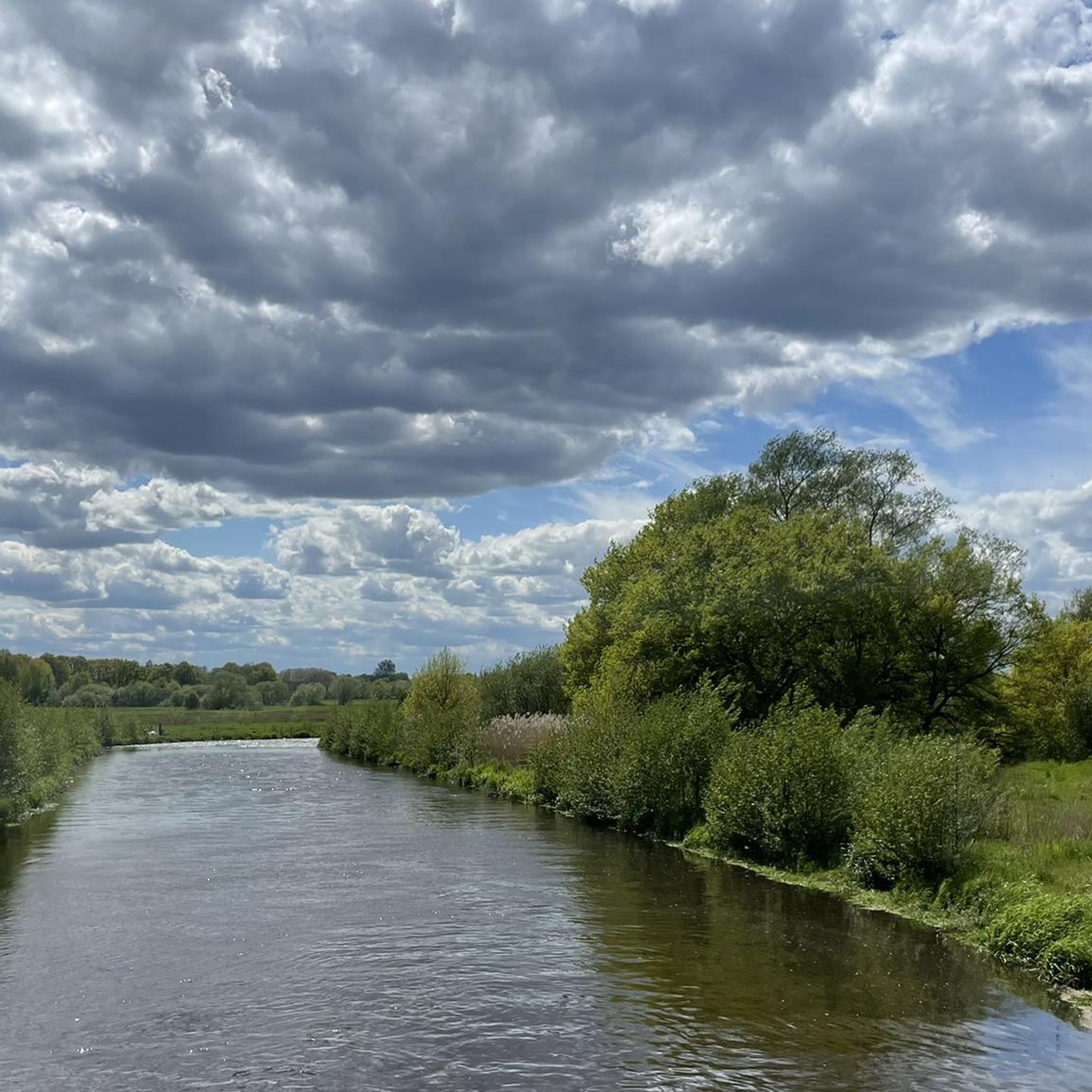
Running Trails in Wümmeniederung Mit Rodau, Wiedau Und Trochelbach
Other adventures in Wümmeniederung Mit Rodau, Wiedau Und Trochelbach


Tips from the Community

The hiking trail leads through the meadows here.
1
0


beautiful path through nature with wonderful scent of pine trees etc.
0
0

The nature reserve includes a beautiful floodplain area through which small streams meander. In between there are small moors and wetlands. Perfect living conditions for rare animals and plants.
1
0

a special landscape invites you to discover :-)
0
0

Relaxation with the sound of water!
0
0


The NORDPFAD Wümmeniederung also runs along here. All information about the path can be found at https://www.nordwaerts.de/aktiv-entspannt/tour/nordpfad-wuemmeniederung-100258948/ (as of June 29, 2024).
0
0
Frequently Asked Questions
How many hiking trails are available in Wümmeniederung Mit Rodau, Wiedau Und Trochelbach?
There are over 60 hiking routes in Wümmeniederung Mit Rodau, Wiedau Und Trochelbach, offering a wide range of options for different skill levels and preferences. The majority, over 60 routes, are rated as easy.
What is the best time of year to go hiking in this region?
Spring and autumn are considered the best seasons for hiking in Wümmeniederung Mit Rodau, Wiedau Und Trochelbach. During these times, the mild climate and vibrant natural colors create an ideal environment for long walks.
What kind of terrain can I expect on the hiking trails?
The terrain is primarily shaped by the Wümme river and its tributaries, featuring diverse landscapes. You'll find extensive floodplains with grasslands, reed beds, and riparian forests. There are also moor, oak, and beech mixed forests, as well as distinctive sand heath complexes and unique former wandering dunes like the Vossberge (Everinghausen Shifting Dunes).
Are there any unique natural features or landmarks to see while hiking?
Yes, the region offers several unique natural features. You can explore the Vossberge (Everinghausen Shifting Dunes), which are former wandering dunes. The tranquil Fährhof Lake provides a pleasant spot for a rest, and you can also discover small sand beaches along the river.
What kind of landscapes will I encounter along the Wümme river and its tributaries?
Along the Wümme, Rodau, Wiedau, and Trochelbach rivers, you will encounter a structurally diverse valley. This includes extensive grasslands, reed beds, sedge meadows, and riparian tall herb communities. Still waters and smaller bog areas are scattered throughout the floodplains, creating a rich wetland environment.
What do other hikers enjoy most about the trails in Wümmeniederung Mit Rodau, Wiedau Und Trochelbach?
The trails in Wümmeniederung Mit Rodau, Wiedau Und Trochelbach are highly rated by the komoot community, with an average score of 4.7 stars from over 380 reviews. Hikers often praise the diverse natural landscapes, the meandering rivers, and the unique sand dunes that define the area.
Are there family-friendly hiking options in Wümmeniederung Mit Rodau, Wiedau Und Trochelbach?
Yes, the region offers many family-friendly options. With over 60 easy routes, there are plenty of choices suitable for families. For example, the Ahauser Mill – Ahauser Bach Bridge loop is an easy 4.2-mile (6.7 km) path that explores riverine landscapes and meadows.
Can I bring my dog on the hiking trails?
Many trails in the Wümmeniederung area are suitable for dogs. However, as parts of the region are nature reserves and EU bird sanctuaries, it is important to keep dogs on a leash, especially during breeding seasons, to protect local wildlife and comply with regulations.
Are there circular hiking routes available?
Yes, there are several circular hiking routes. An example is the Forest Path – Vossberge Inland Dunes loop from Everinghausen, which is a 3.5-mile (5.6 km) trail through sand dunes and wooded areas. Another is the Ahauser Mill – Ahauser Bach Bridge loop.
What are the parking options for trailheads in the Wümmeniederung area?
While specific parking locations are not detailed in the guide, many trailheads in natural areas typically offer designated parking spaces. It is advisable to check individual route descriptions on komoot for precise parking information near your chosen starting point.
Is public transport available to access the hiking trails?
Public transport options to access specific trailheads in the Wümmeniederung area may be limited. It is recommended to research local bus or train connections to nearby towns and then plan your route to the trailhead accordingly, or consider driving.
Are there places to eat or stay near the hiking trails?
The region has various towns and villages nearby that offer cafes, pubs, and accommodation options. While specific establishments are not listed, you can find places to refresh and stay in communities surrounding the Wümmeniederung Mit Rodau, Wiedau Und Trochelbach area.
What is the NORDPFAD Wümmeniederung?
The NORDPFAD Wümmeniederung is a designated long-distance hiking route within the Rotenburg district. It covers 32.5 km (20.8 miles) and offers extensive views across the Wümme lowlands. This route is considered difficult and takes approximately 8 hours and 26 minutes to complete. You can find more details about this route here: NORDPFAD Wümmeniederung (Wümme Depression).
Most popular routes in Wümmeniederung Mit Rodau, Wiedau Und Trochelbach
Most popular attractions in Wümmeniederung Mit Rodau, Wiedau Und Trochelbach

Get inspired with the komoot mobile app


Explore more
Browse the best Hikes in other regions.
