The best running trails in Westlich Fangstaken
4.5
(413)
3,722
runners
389
runs
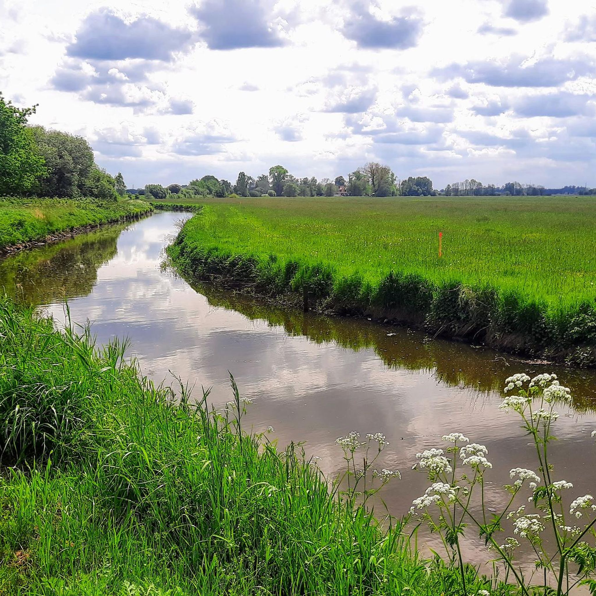
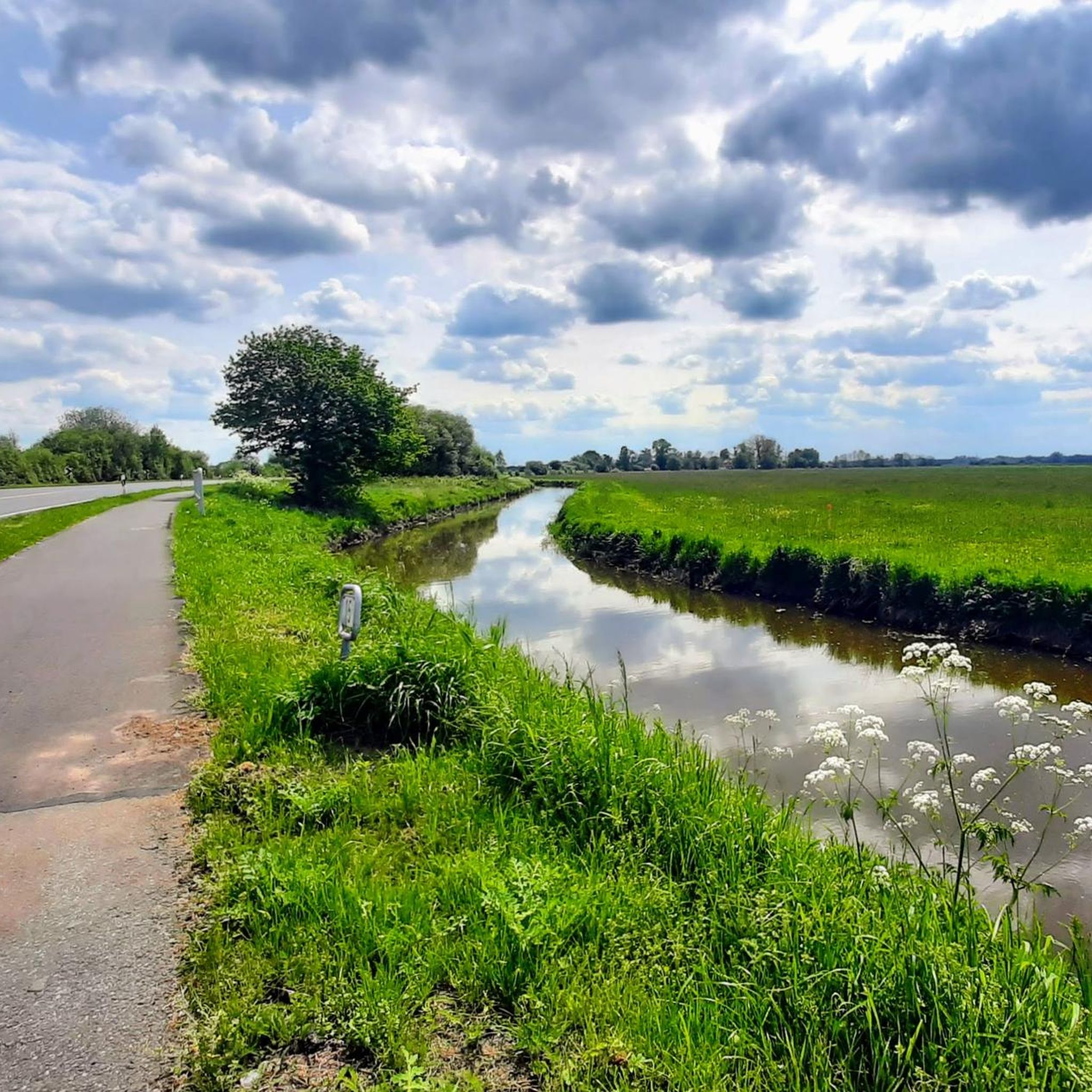
Jogging in Westlich Fangstaken offers diverse running routes through a unique natural landscape. The region is characterized by extensive moor and wetland areas, including significant high and low moors, which provide distinct, open landscapes. The terrain is largely flat, shaped by the river lowlands of the Hamme River, featuring wet meadows and numerous ditches. While generally level, some areas present gentle hills, adding varied topography suitable for running.
Best jogging routes in Westlich Fangstaken
- The most popular jogging route is…
Last updated: July 1, 2026
7
runners
Moderate run. Good fitness required. Mostly paved surfaces. Suitable for all skill levels.
5.0
(3)
43
runners
Moderate run. Good fitness required. Mostly paved surfaces. Suitable for all skill levels.

Sign up for free
4.5
(13)
47
runners
7.53km
00:47
20m
20m
Moderate run. Good fitness required. Mostly paved surfaces. Suitable for all skill levels.
16
runners
16.3km
01:42
80m
80m
Hard run. Very good fitness required. Mostly paved surfaces. Suitable for all skill levels.
5.0
(1)
19
runners
Hard run. Very good fitness required. Mostly paved surfaces. Suitable for all skill levels.
Get access to more routes and recommendations from other explorers.
Sign up for free
Already have an account?
Our route recommendations are based on thousands of hikes, rides, and runs completed by other people on komoot.
Start today with a free account
Your next adventure awaits.
Login or Signup

Tips from the Community


The campsite, often known as Neu-Helgoland or Campingplatz am Hammehafen, is located directly on the Hamme near Worpswede. Here is the most important information: Location: The site is located on the outskirts of Worpswede, directly on the Hammehafen. Facilities: There are pitches for motorhomes, caravans, and tents. Sanitary facilities are available. Activities: Canoes and kayaks can be rented at the Hammehafen (prices from €15 to €35, as of 2018/2026). There is also a bistro with a beer garden and an adjacent bathing beach on the Hamme. Season: The season typically runs from April to early October. Contact: The site can be found via the website hammehafen.de, telephone: +49 (0) 4792 509.
1
0

Very nice Hammepad between Tietjens Hütte and Melchers Hütte.
0
0

Very beautiful, both inside and out. I highly recommend a visit.
0
0
Remembrance of the old peat boatmen
1
0

Idyllically located restaurant with a beer garden with a wonderful view of the Hamme.
0
0

is a bronze statue that has been welcoming visitors at the entrance to Osterholz-Scharmbeck since July 2008. Its name is derived from an "Uncle Hermann" who lived here around 1900 and worked as a ferryman at Tietjen's hut. According to the artist Paul Mahrt, who created the bronze figure and had it cast in the Rieke workshop in Worpswede, it does not represent the historical figure. Rather, it represents the peat boatmen and ferrymen of their time.
3
0
Beautiful sculpture by Uncle Herrmann.
0
0
Frequently Asked Questions
How many running routes are available in Westlich Fangstaken?
Westlich Fangstaken offers a wide variety of running routes, with over 400 trails available on komoot. These routes cater to different fitness levels, including approximately 50 easy, 305 moderate, and 50 difficult options.
What kind of terrain can I expect on the running trails in Westlich Fangstaken?
The terrain in Westlich Fangstaken is largely flat, characterized by extensive moor and wetland areas, and the river lowlands of the Hamme River. You'll find paths through wet meadows and along numerous ditches. While generally level, some areas feature gentle hills, providing a varied topography suitable for running.
Are there easy running routes suitable for beginners in Westlich Fangstaken?
Yes, Westlich Fangstaken has around 50 easy running routes perfect for beginners or those looking for a relaxed jog. These trails typically feature flat terrain through scenic moorlands and along the Hamme River, offering a gentle introduction to the region's natural beauty.
Are the jogging routes in Westlich Fangstaken suitable for families?
Many of the routes in Westlich Fangstaken are suitable for families, especially the easier, flatter paths through the moorlands and along the Hamme River. These tranquil settings provide a safe and enjoyable environment for a family run or walk. Always check the specific route details for distance and difficulty to ensure it matches your family's needs.
Can I bring my dog on the running trails in Westlich Fangstaken?
Generally, dogs are welcome on many outdoor trails in Westlich Fangstaken. However, as the region includes protected moor and wetland areas, it's always best to keep your dog on a leash to protect wildlife and respect local regulations. Look for specific signage on trails regarding dog access.
What are some scenic running routes with viewpoints in Westlich Fangstaken?
For scenic views, consider routes that follow the Hamme River, which is central to the region's character. While not directly on a running route, the Butenpad Circular Trail offers picturesque views of the surrounding landscape. Additionally, the nearby Aussichtsturm Himmelstreppe (observation tower) in Westlich Beek provides panoramic views over the Hammewiesen, which can be a rewarding destination after a run.
Are there any circular running routes in Westlich Fangstaken?
Yes, many of the running routes in Westlich Fangstaken are designed as loops. For example, the Hamme River Trail – Path along the Hamme loop from Westlich Fangstaken is a popular 4.8-mile (7.7 km) circular route that follows the scenic Hamme River. Another option is the Melchers Bridge – Melchers Hut loop from Osterholz-Scharmbeck, which is a moderate 7.3-mile (11.8 km) path.
What natural features or landmarks can I see while jogging in Westlich Fangstaken?
While jogging in Westlich Fangstaken, you'll encounter extensive moor and wetland areas, which are ecologically significant. The scenic Hamme River is a prominent feature, and you might spot the Bicycle Service Station at the Statue of the Ferryman. The region is also known for its birdwatching opportunities, particularly around the Hammewiesen.
Are there places to stop for refreshments near the running routes?
Yes, you can find refreshment spots. The Melchers Bridge – Melchers Hut loop from Osterholz-Scharmbeck passes by Melchers Hütte, an idyllically situated restaurant with a beer garden offering wonderful views of the Hamme, making it a pleasant stop for refreshment after your run.
What is the best time of year to go jogging in Westlich Fangstaken?
Westlich Fangstaken offers enjoyable running conditions throughout much of the year. Spring and autumn provide pleasant temperatures and beautiful scenery as the landscape changes. Summer is also popular, but it's advisable to run during cooler parts of the day. Winter jogging is possible, but paths might be damp or muddy due to the wetland characteristics.
How long are the jogging trails in Westlich Fangstaken typically?
The jogging trails in Westlich Fangstaken vary in length. You can find shorter routes like the Running loop from Osterholz-Scharmbeck, which is about 4.7 miles (7.5 km). Longer options include the Topiary Art Garden loop from Osterholz-Scharmbeck, a difficult 10.1-mile (16.3 km) route, or the Melchers Hütte on the Hamme – Broad Water loop from Osterholz-Scharmbeck, which spans 15.1 miles (24.3 km).
What do other runners enjoy most about jogging in Westlich Fangstaken?
The running routes in Westlich Fangstaken are highly rated by the komoot community, with an average score of 4.5 stars from nearly 400 reviews. Runners often praise the tranquil and scenic paths through the diverse moor and wetland areas, as well as the picturesque views along the Hamme River, making for a peaceful and refreshing outdoor experience.
Most popular routes in Westlich Fangstaken
Most popular attractions in Westlich Fangstaken

Get inspired with the komoot mobile app


Explore more
Browse the best Running Trails & Routes in other regions.
