The best walks and hikes in Nsg Brockzeteler Moor
4.5
(1175)
4,745
hikers
426
hikes
Hiking in Nsg Brockzeteler Moor, a 180-hectare nature reserve in Aurich, Lower Saxony, features a regenerating high moor landscape. The terrain is characterized by rewetting efforts, creating shimmering pools of water and colorful raised bog vegetation. Adjacent forest areas further diversify the scenery, offering varied environments for exploration. This area provides a range of hiking opportunities across its unique moorland.
Best hiking trails in Nsg Brockzeteler Moor
- The most popular hiking route is Large Burl on Tree loop from Brockzeteler…
Last updated: July 12, 2026
4.7
(6)
15
hikers
5.68km
01:26
10m
10m
Easy hike. Great for any fitness level. Easily-accessible paths. Suitable for all skill levels.
5.0
(2)
7
hikers
Moderate hike. Good fitness required. Easily-accessible paths. Suitable for all skill levels.

Sign up for free
5.0
(1)
6
hikers
3.57km
00:54
0m
0m
Easy hike. Great for any fitness level. Easily-accessible paths. Suitable for all skill levels.
5.0
(1)
4
hikers
2.89km
00:44
0m
0m
Easy hike. Great for any fitness level. Easily-accessible paths. Suitable for all skill levels.
3
hikers
4.79km
01:12
10m
10m
Easy hike. Great for any fitness level. Easily-accessible paths. Suitable for all skill levels.
Get access to more routes and recommendations from other explorers.
Sign up for free
Already have an account?
Our route recommendations are based on thousands of hikes, rides, and runs completed by other people on komoot.
Start today with a free account
Your next adventure awaits.
Login or Signup

Tips from the Community

The Egelser forest is perfect for a quick round with the gravel bike, or relaxed hikes.
0
0

A completely new way to drive really well.
1
0

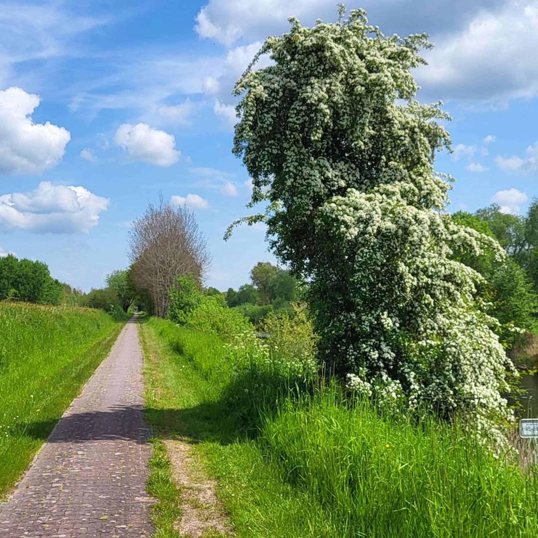
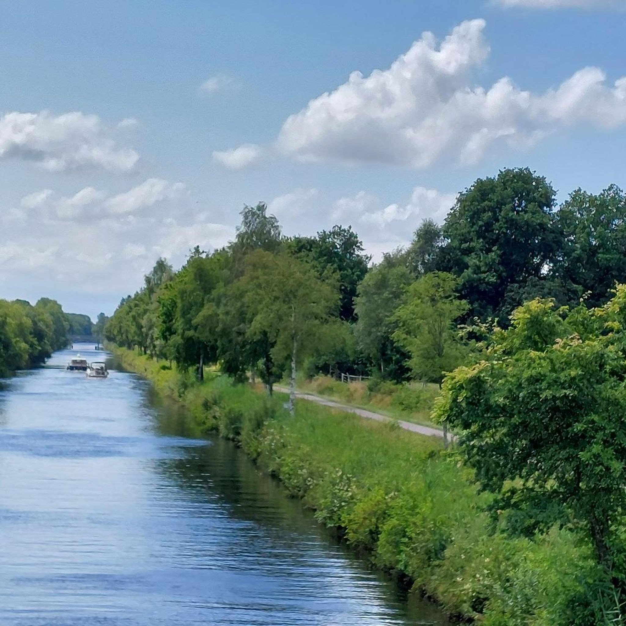
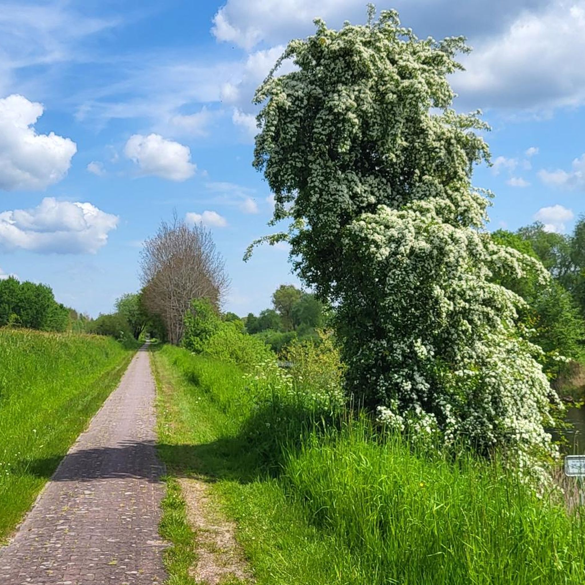
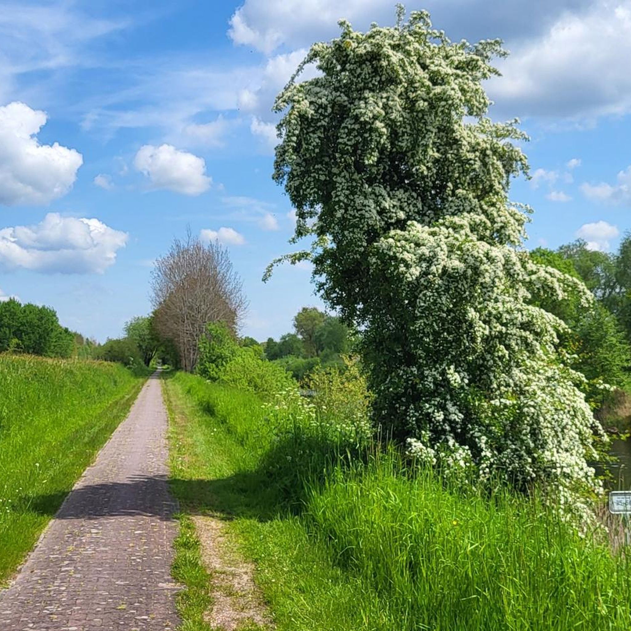
There is a cycle path from Emden to Wilhelmshaven, always along the canal
1
0

The cycle path between Wilhelmshaven and Aurich along the Ems-Jade Canal is, with very few exceptions, easily navigable. Unfortunately, there are few restaurants along the entire route.
5
0

beautiful cycle path along the canal, almost continuously along the water
3
1


Absolutely beautiful forest. It's worth hiking here
1
0

Great building and nice destination
3
0
Frequently Asked Questions
How many hiking trails are available in Nsg Brockzeteler Moor?
Nsg Brockzeteler Moor offers a wide variety of hiking opportunities, with over 400 trails to explore. These include options for all skill levels, from easy strolls to more challenging excursions.
What is the terrain like for hiking in Nsg Brockzeteler Moor?
The terrain in Nsg Brockzeteler Moor is characterized by a regenerating high moor landscape. You'll encounter shimmering pools of water, colorful raised bog vegetation, and areas with bushes, heather, and bentgrass. Adjacent forest areas also diversify the scenery, providing varied environments for exploration.
Are there easy hiking options suitable for beginners or families?
Yes, Nsg Brockzeteler Moor is very welcoming for beginners and families. Over 300 of the available routes are rated as easy. A popular choice is the easy 5-kilometer circular route around the central part of the moor, which offers gentle terrain to appreciate the unique landscape. For a specific route, consider the Large Burl on Tree loop from Brockzeteler Moor, an easy 3.5-mile trail.
Are there more challenging hikes in the area for experienced hikers?
While the area is predominantly easy to moderate, there are a few options for more experienced hikers. The 'Moor discovery trail' is a more demanding 12-kilometer tour that ventures deeper into the moor, offering spectacular views of vast moorland plains. Overall, there are 5 difficult routes available in the region.
What do other hikers say about the trails in Nsg Brockzeteler Moor?
The trails in Nsg Brockzeteler Moor are highly rated by the komoot community, with an average score of 4.5 stars from over 1,000 reviews. Hikers often praise the unique moorland scenery, the well-maintained paths, and the peaceful atmosphere of the nature reserve.
Can I bring my dog on the hiking trails?
Yes, dogs are generally welcome on the hiking trails in Nsg Brockzeteler Moor. However, to protect the delicate ecosystem and wildlife, visitors are requested to keep dogs on a leash at all times and stay on designated paths.
Are there any circular hiking routes in Nsg Brockzeteler Moor?
Yes, many of the trails in Nsg Brockzeteler Moor are circular, allowing you to start and end at the same point. An example is the Moorackerweg loop from Brockzeteler Moor, a 2.2-mile trail that takes you through the moor.
What natural features or landmarks can I expect to see while hiking?
While hiking, you can observe the unique regenerating high moor landscape with its shimmering pools and colorful bog vegetation. You might also encounter the Ems-Jade Canal, which runs nearby. There are also several rest shelters, such as the Rest Shelter by the Canal and a Covered Rest Area Near Aulrich, providing spots to pause and enjoy the surroundings.
Is there wildlife to observe in Nsg Brockzeteler Moor?
The regenerating moor has become a vital living space for a rare, moor-typical animal and plant world. While specific sightings vary, you might encounter diverse animal life, including sand lizards (Waldeidechsen) in warm weather. Remember to stay on designated paths to avoid disturbing the delicate ecosystem.
What is the best time of year to visit Nsg Brockzeteler Moor for hiking?
Nsg Brockzeteler Moor offers unique beauty throughout the year. Spring brings new growth and vibrant colors, while summer allows for longer days and warmer temperatures. Autumn showcases a different palette of colors in the vegetation, and even winter can offer a serene, stark beauty, especially if there's snow. The regenerating moor is always an interesting landscape to explore.
Are there any routes that lead through forest areas?
Yes, adjacent forest areas diversify the scenery in Nsg Brockzeteler Moor. For example, the Beech Avenue – Forest Path Near Großefehn loop from Brockzeteler Moor is a moderate 8.4-mile path that specifically leads through a beech avenue and forest, offering a different natural experience.
Are there places to rest along the trails?
Yes, along many of the trails in Nsg Brockzeteler Moor, you will find cozy huts and designated resting spots. These invite hikers to pause, take a break, and enjoy the tranquility of the moorland environment.
Most popular routes in Nsg Brockzeteler Moor
Most popular attractions in Nsg Brockzeteler Moor

Get inspired with the komoot mobile app


Explore more
Browse the best Hikes in other regions.
