The best walks and hikes in Sneekermeergebied
4.3
(1740)
12,654
hikers
745
hikes
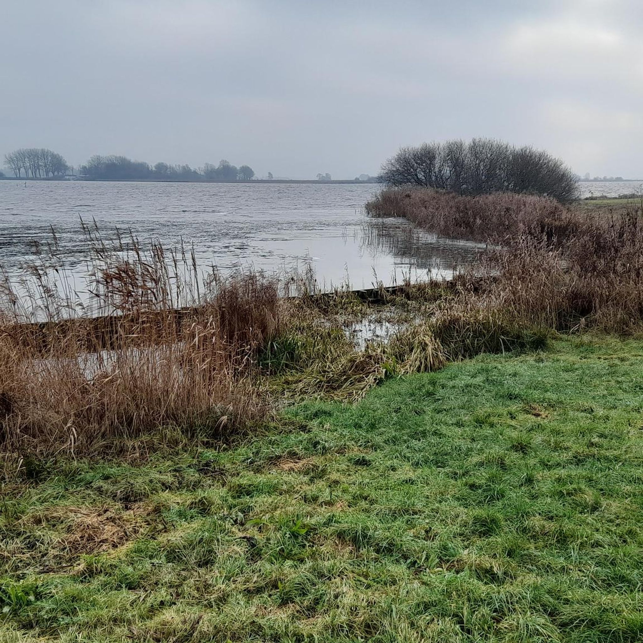
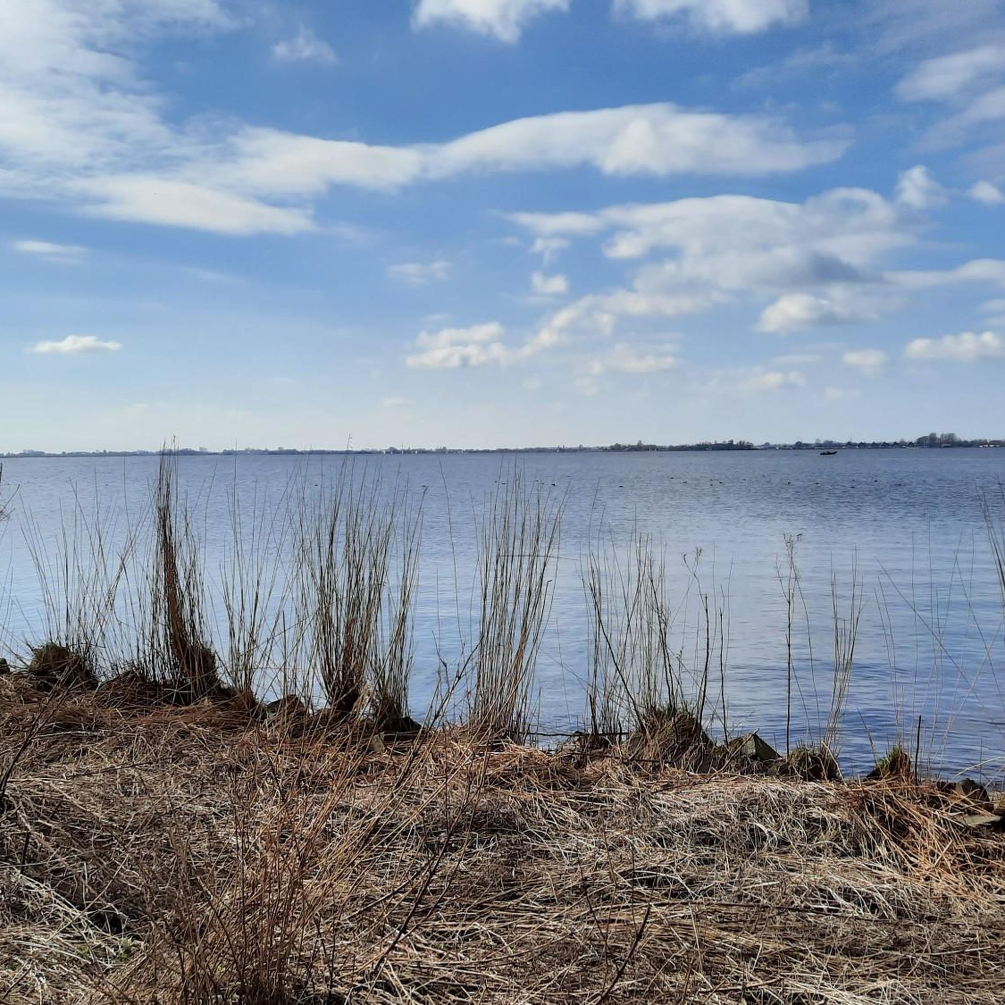
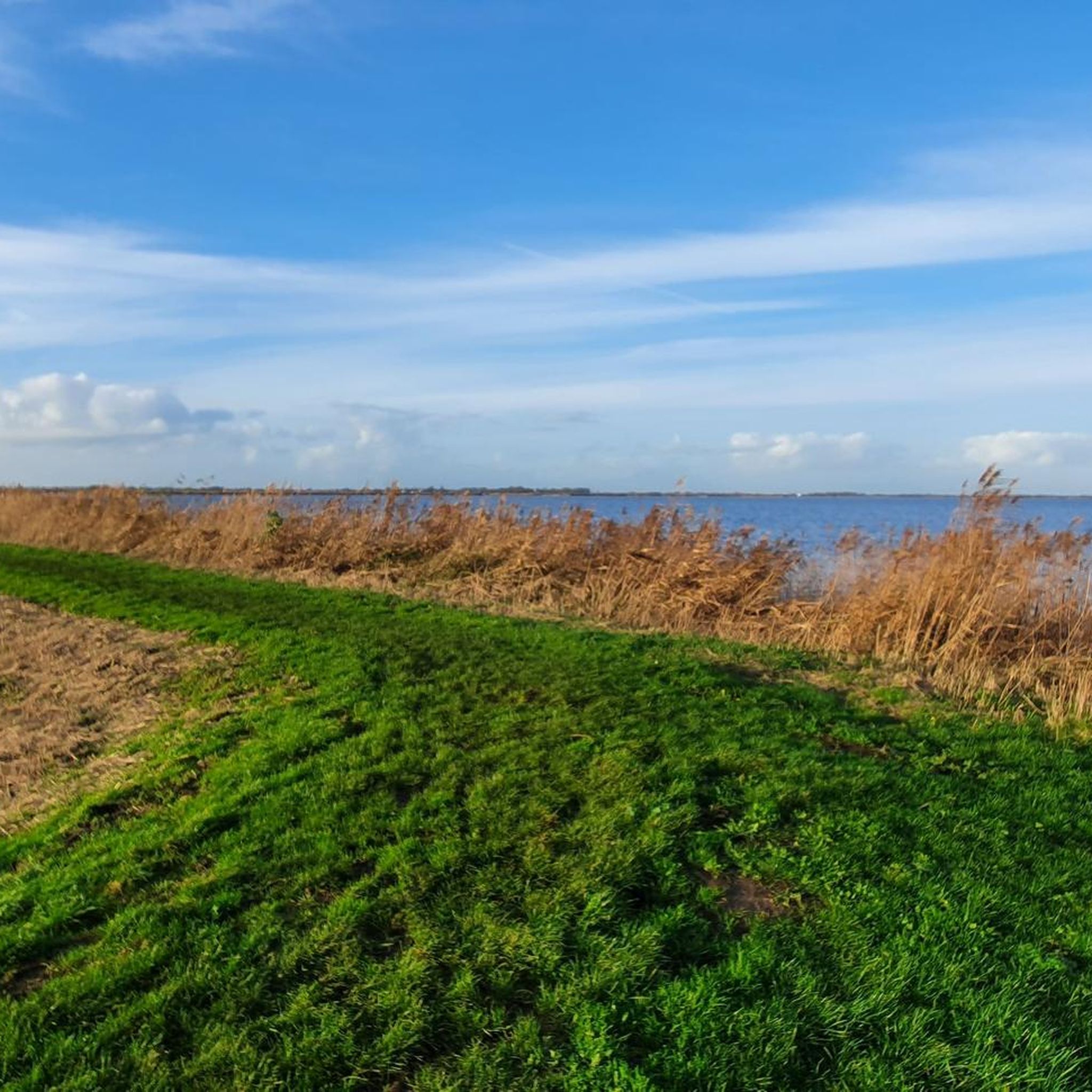
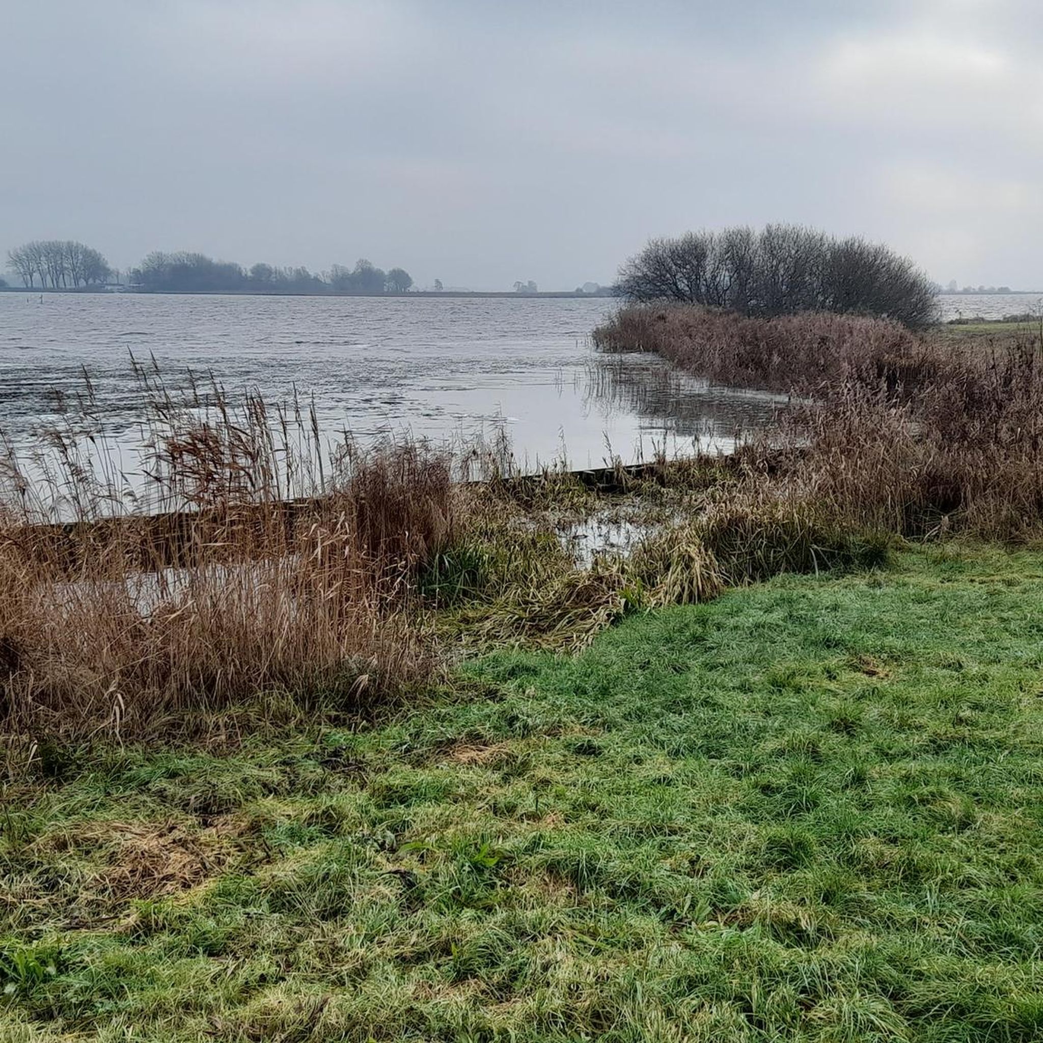
Hiking in Sneekermeergebied is characterized by its low-lying, open peat and lake region in Friesland, Netherlands. The landscape features a complex of interconnected waters, extensive grasslands, and reedlands, offering expansive views. This area is defined by long canals and narrow plots, resulting from historical peat extraction. The terrain is generally flat, providing accessible routes through a unique blend of natural and historical elements.
Best hiking trails in Sneekermeergebied
- The most popular hiking route is Path Along Sneekermeer – Cycle Path…
Last updated: May 23, 2026
4.7
(62)
331
hikers
Easy hike. Great for any fitness level. Easily-accessible paths. Suitable for all skill levels.
4.4
(25)
167
hikers
4.58km
01:09
0m
0m
Easy hike. Great for any fitness level. Easily-accessible paths. Suitable for all skill levels.

Sign up for free
4.5
(36)
179
hikers
Easy hike. Great for any fitness level. Easily-accessible paths. Suitable for all skill levels.
4.7
(27)
125
hikers
Easy hike. Great for any fitness level. Easily-accessible paths. Suitable for all skill levels.
4.3
(15)
56
hikers
9.17km
02:19
10m
10m
Moderate hike. Good fitness required. Easily-accessible paths. Suitable for all skill levels.
Get access to more routes and recommendations from other explorers.
Sign up for free
Already have an account?
Our route recommendations are based on thousands of hikes, rides, and runs completed by other people on komoot.
Start today with a free account
Your next adventure awaits.
Login or Signup

Tips from the Community


Since 2017, the Terhernster Veer Foundation has operated the ferry service between Eetcafé Portunus (Terherne) and Eetcafé 't Slûske/Jachthaven Sneekerhof (Tersoalstersyl). The trip across the Princess Margriet Canal takes about 10 minutes and also connects cycling junctions 42 and 43.
1
0

Nice electric ferry. Self-service... press two buttons before it works. It took a while before we figured it out and that it actually worked.
0
0

A must for cyclists who like the vastness and the view to the horizon.
1
1

beautiful viewpoint
0
0
Not free: debit card payments are not accepted. €1.50 per person per crossing
2
0
Frequently Asked Questions
What kind of landscape can I expect when hiking in Sneekermeergebied?
The Sneekermeergebied is characterized by a unique low-lying, open peat and lake region. You'll find a complex of interconnected waters, extensive grasslands, reedlands, and willow groves, offering expansive views. The landscape is defined by long canals and narrow plots, a result of historical peat extraction, creating a picturesque setting.
How many hiking trails are available in Sneekermeergebied?
There are over 600 hiking routes in the Sneekermeergebied, catering to various fitness levels. This includes over 460 easy routes, nearly 200 moderate trails, and a selection of more challenging hikes.
Are there any family-friendly hiking options in Sneekermeergebied?
Yes, the generally flat terrain and numerous easy routes make Sneekermeergebied suitable for families. Many paths offer short, accessible strolls through the scenic landscape. For example, the Waterskibaan Sneek – Lookout Tower at Sneekermeer loop from Offingawier is an easy 5.4 km path that leads to a lookout tower, offering engaging views for all ages.
What interesting sights or landmarks can I see along the trails?
Hikers can discover several points of interest. The Lookout Tower at Sneekermeer provides beautiful vistas of the surrounding landscape. You might also encounter the Ferry Dock at Prinses Margrietkanaal, where you can observe boat traffic. While primarily for cycling, sections of the Griene Dyk Cycle Path offer panoramic views and information panels about local flora and fauna.
What kind of wildlife can I expect to see while hiking?
The Sneekermeergebied is a significant area for both breeding and migratory birds. You can often spot meadow birds and waterfowl, including large numbers of barnacle geese, white-fronted geese, and wigeon, especially in the surrounding grasslands. The region also provides habitat for the Northern Vole and the Pond Bat.
Are there any circular walks in the Sneekermeergebied?
Yes, many routes in the Sneekermeergebied are designed as circular walks. An example is the moderate Rufus Ferry – Swettepoel loop from Sneekermeergebied, which takes you through interconnected waters and open grasslands over 9.2 km.
What do other hikers enjoy most about hiking in Sneekermeergebied?
The area is highly rated by the komoot community, with an average score of 4.3 stars from over 1,600 reviews. Hikers often praise the expansive, open views, the tranquil atmosphere of the peat and lake region, and the opportunity to observe diverse birdlife.
Are there any longer or more challenging hikes available?
While much of the terrain is flat, there are longer routes that offer a more extensive experience. The Path Along Sneekermeer – Cycle Path Along Sneekermeer loop from Terherne is a moderate 12.5 km trail that takes about 3 hours to complete, providing panoramic views over the Sneekermeer and adjacent nature reserves.
Is it possible to reach hiking trails using public transport?
The region is generally accessible, and while specific trailheads might require a short walk or local bus connection from larger towns, the nearby city of Sneek serves as a transport hub. From Sneek, you can often find connections to villages bordering the Sneekermeergebied, providing access to various starting points.
What are the typical trail conditions like in Sneekermeergebied?
The trails in Sneekermeergebied are generally flat, often following dikes, canals, and paths through grasslands. They are typically well-maintained, but conditions can vary with weather. During wet periods, some paths might be muddy, especially in more natural, unpaved sections. The open nature of the landscape means you'll be exposed to the elements, so prepare for sun and wind.
Can I find places to eat or drink near the hiking routes?
Yes, the Sneekermeergebied has several villages and facilities. For instance, Kolmeersland (Starteiland), accessible by ferry, offers a restaurant. The nearby city of Sneek also provides numerous options for dining and refreshments, making it convenient to combine a hike with a meal.
What is the best time of year to hike in Sneekermeergebied?
The Sneekermeergebied is beautiful year-round, but spring and summer offer the most pleasant hiking conditions with milder weather and vibrant nature. Spring brings blooming flora like Marsh Marigold and Ragged-Robin, while autumn provides stunning colors. Winter hiking is also possible, offering a serene experience, especially for birdwatching.
Most popular routes in Sneekermeergebied
Most popular attractions in Sneekermeergebied

Get inspired with the komoot mobile app


Explore more
Browse the best Hikes in other regions.
