The best walks and hikes in Fintlandsmoor Und Dänikhorster Moor
4.5
(4933)
19,756
hikers
588
hikes
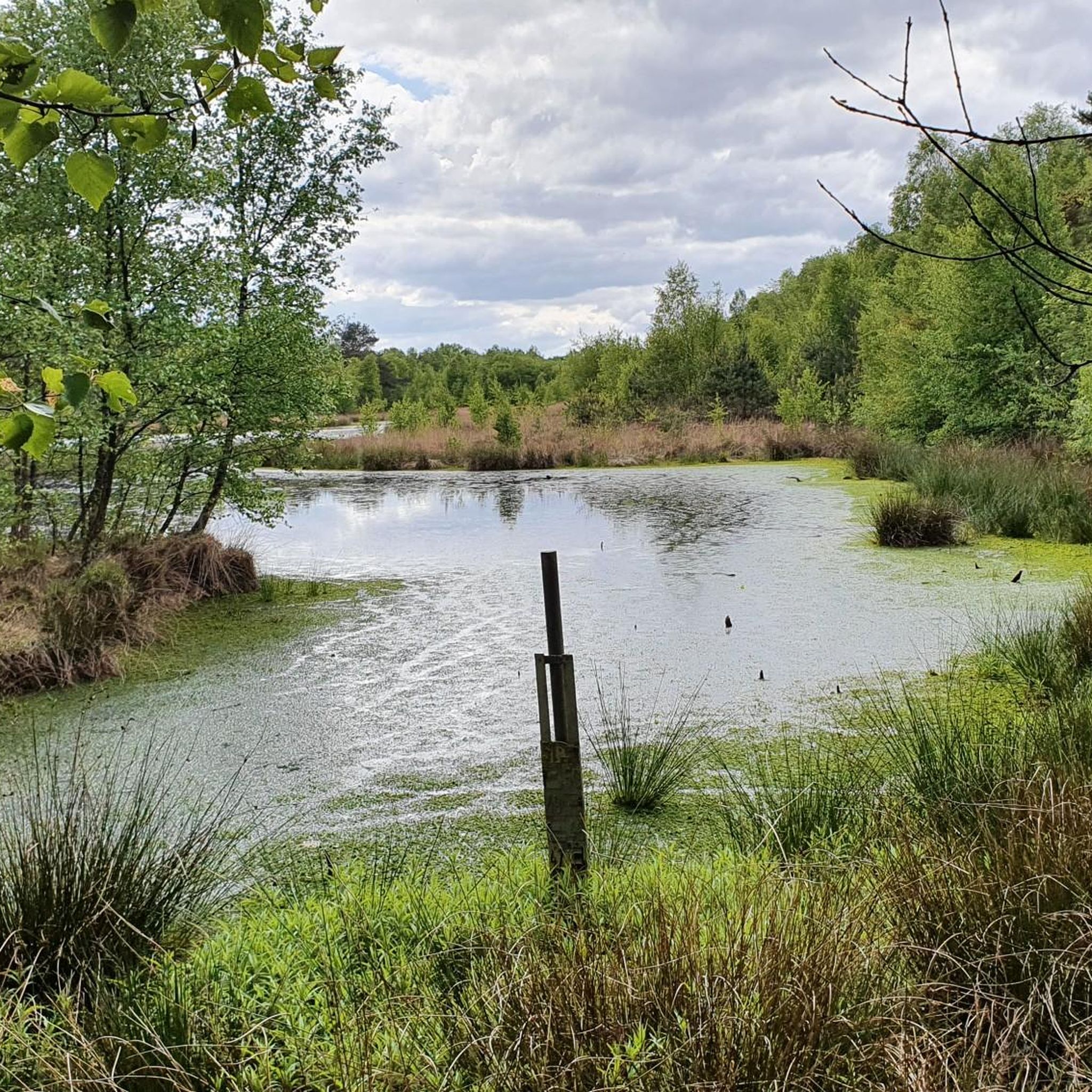
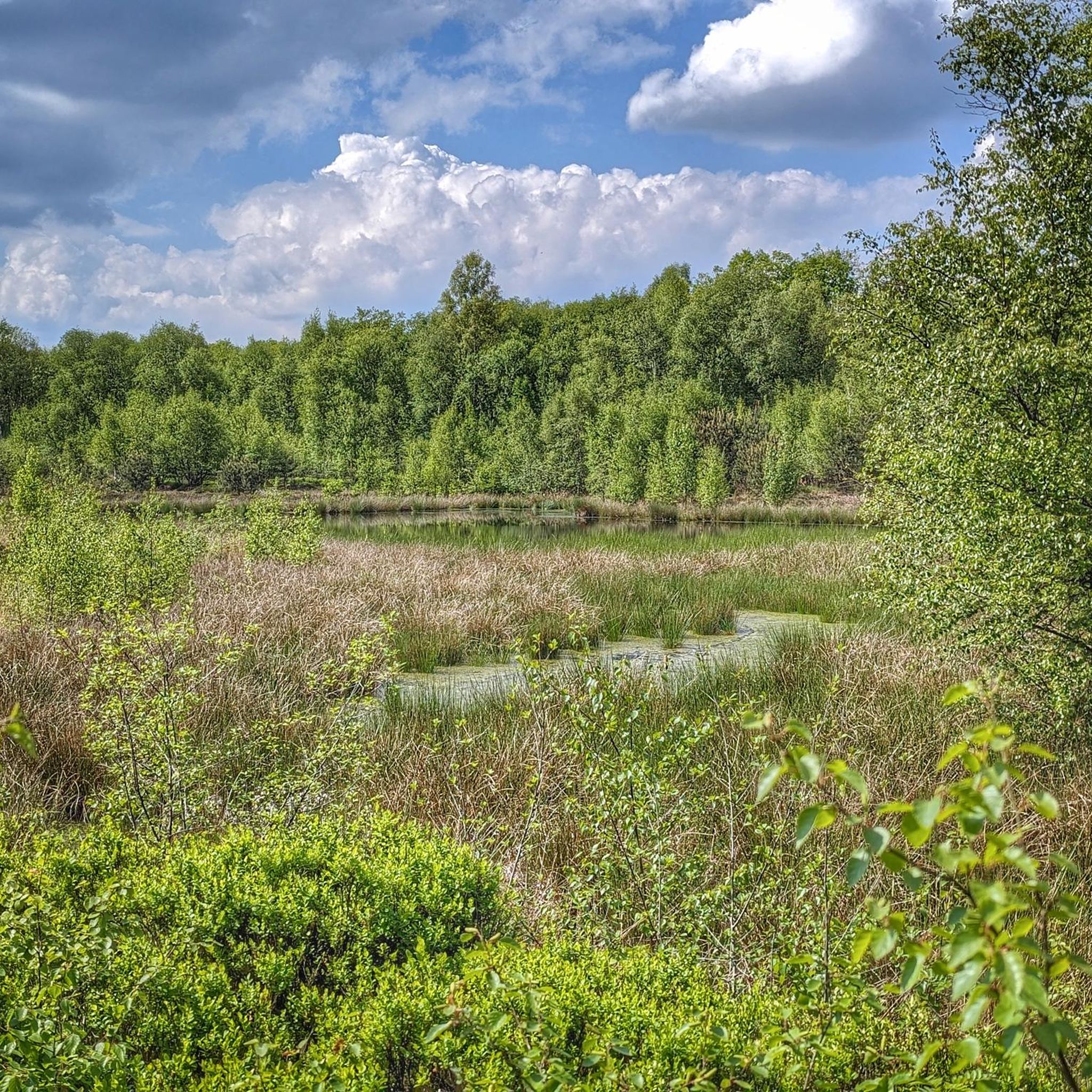
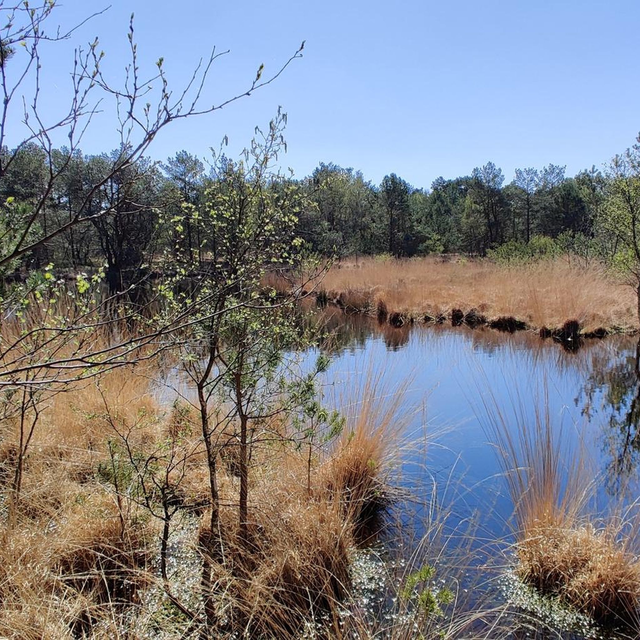
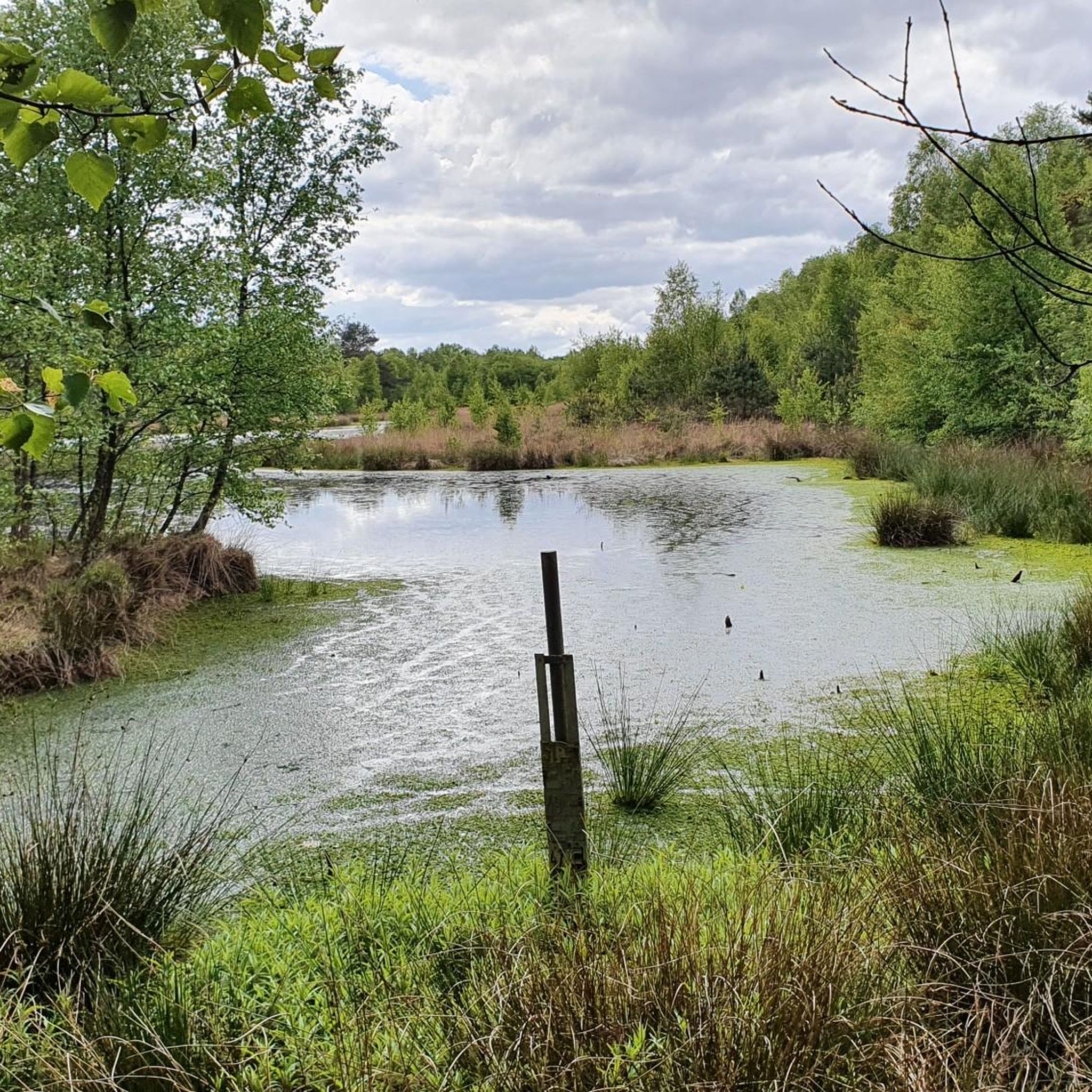
Hiking trails in Fintlandsmoor Und Dänikhorster Moor are characterized by extensive moorland and wetlands, protecting significant remnants of a re-wetted raised bog. The region features moor forests, predominantly birch trees, and open sections with various heath plants. Re-wetted former peat cuttings have transformed into water-filled areas, creating vital habitats for specialized bog flora. The terrain is largely flat, making it suitable for accessible walks through unique ecosystems.
Best hiking trails in Fintlandsmoor Und Dänikhorster Moor
- The most popular hiking route…
Last updated: July 1, 2026
6
hikers
Easy hike. Great for any fitness level. Easily-accessible paths. Suitable for all skill levels.
5.0
(1)
6
hikers
Easy hike. Great for any fitness level. Easily-accessible paths. Suitable for all skill levels.

Sign up for free
5.0
(2)
7
hikers
Easy hike. Great for any fitness level. Easily-accessible paths. Suitable for all skill levels.
14
hikers
Moderate hike. Good fitness required. Easily-accessible paths. Suitable for all skill levels.
5.0
(1)
23
hikers
Easy hike. Great for any fitness level. Easily-accessible paths. Suitable for all skill levels.
Get access to more routes and recommendations from other explorers.
Sign up for free
Already have an account?
Our route recommendations are based on thousands of hikes, rides, and runs completed by other people on komoot.
Start today with a free account
Your next adventure awaits.
Login or Signup
Popular around Fintlandsmoor Und Dänikhorster Moor
Tips from the Community

The Karlshof bathing lake is a popular destination in summer. You can spend a relaxing afternoon at the bathing lake in summer. Whether you prefer to lie in the shade or in the sun, you will always find the right spot here, and after sunbathing, you can cool off and refresh yourself in the lake.
2
0
Welcome to the "Niedersächsische Mühlenstraße" (Lower Saxony Mill Road) ... it was founded in 1998 under the sponsorship of the "Mühlenförderverein Lüneburg e.V." (MFV Lbg.) and has so far led to 427 mill locations in 29 districts. The declared goal from the beginning was to extend it to the whole of Lower Saxony. Therefore, the founding association handed over the sponsorship for the Mill Road to the state-wide "Mühlenvereinigung Niedersachsen-Bremen e.V." (MVNB) in mid-2004. The continuation of the successful tourist route is the responsibility of the independently operating "Arbeitsgruppe Mühlenstraße" (Mill Road Working Group), whose tasks are regulated in a cooperation agreement with the sponsoring association MVNB and the founding association MFV Lbg. The patron of the project is the Lower Saxony Minister of Agriculture Gert Lindemann. The mill owners, with their open and willing attitude, made the creation of the Niedersächsische Mühlenstraße possible in the first place.
0
0
Karlshof was built on a sand dune in the moor and borders the now renaturalized Fintlandsmoor, a nature reserve in Lower Saxony, to the north. This remnant raised bog, covering 141 hectares, is characterized by small-scale, structured areas of mesophilic grassland, bog birch forests, agricultural land, and rewetted peat cuttings. The nature reserve is part of the Natura 2000 site 236 "Fintlandsmoor, Dänikhorster Moor". North of Karlshof lies the "Karlshof Weekend Area" with a bathing lake. The district of Karlshof forms the southern boundary of the town of Westerstede. Karlshof can be reached via the Westerstede-Ocholt train station, which is three kilometers away. It is connected to the public transport network via the Karlshof bus stop.
2
0
The Dänikhorster Moor is a former nature reserve in the Lower Saxon municipalities of Bad Zwischenahn and Edewecht in the district of Ammerland.
0
0

Very neatly done. Maintained by local residents...respect.
2
0

A stretch of trail where, at least in warmer weather, a dog won't burn its paws on the asphalt! So, one of the best stretches of trail with a dog in all the miles.
1
0
Now a bridge can be considered a hiking highlight. Yes, the bridge is sturdy, can even withstand tractors, has a decent surface, and just beyond the bridge, a path shared by cyclists and walkers leads to the Howieker Mill. As is unfortunately common in many areas, barbed wire is strung directly alongside the hiking trail, which is a rather negative point, as while it might deter cattle, it poses a risk of injury to pedestrians and cyclists, especially when they have to avoid each other.
1
0

Only suitable for experienced runners.
3
0
Frequently Asked Questions
How many hiking trails are available in Fintlandsmoor Und Dänikhorster Moor?
There are over 10 hiking routes available in Fintlandsmoor Und Dänikhorster Moor, all of which are rated as easy. This makes the region ideal for relaxed walks through its unique moorland landscape.
What are the typical distances and elevations of hikes in this region?
The hikes in Fintlandsmoor Und Dänikhorster Moor are generally flat, with minimal elevation gain, typically less than 15 meters. Distances vary, with routes like the Dänikhorster Moor Nature Trail being around 1.7 km, while longer options such as the Howieker Watermill – Ollenbäke Bridge loop extend to about 7.8 km.
Are the trails in Fintlandsmoor Und Dänikhorster Moor suitable for families with children?
Yes, the trails are very suitable for families. The region's flat terrain and easy difficulty ratings make it ideal for walks with children. The Dänikhorster Moor Nature Trail is particularly good for a shorter, immersive experience.
Can I bring my dog on the hiking trails?
Yes, dogs are generally welcome on the hiking trails in Fintlandsmoor Und Dänikhorster Moor. However, as it is a nature reserve, it's important to keep dogs on a leash to protect the local wildlife and sensitive moorland environment.
What kind of wildlife can I expect to see in Fintlandsmoor Und Dänikhorster Moor?
The moorland and wetland environment is home to diverse wildlife. You might spot various bird species, amphibians, and insects unique to this habitat. Keep an eye out for dragonflies and butterflies in warmer months, and listen for the calls of wetland birds.
What is the best season to hike in Fintlandsmoor Und Dänikhorster Moor?
The best seasons to hike are spring and autumn. In spring, the moorland comes alive with new growth and bird activity. Autumn offers beautiful colors and cooler, comfortable temperatures. Summer can also be pleasant, but be prepared for potential insects. Winter hikes are possible, but trails might be damp or icy.
Are there any circular walks available?
Yes, many of the routes in Fintlandsmoor Und Dänikhorster Moor are circular, offering convenient starting and ending points. Examples include the popular Dänikhorster Moor loop from Fintlandsmoor und Dänikhorster Moor and the Dänikhorster Moor loop from Voßbarg.
What interesting landmarks or natural features can I see along the trails?
The region is rich in natural beauty. You can explore the Fintlandsmoor and Dänikhorster Moor themselves, visit the Reihertief Wetland, or discover the Fintlandsmoor Nature Reserve. Don't miss the unique sight of the Dänikhorster Moor — View of Dead Birch Trees.
What should I pack for a hike in the moorland?
Given the wetland nature of the area, waterproof hiking boots are highly recommended. Layers of clothing are advisable, as weather can change. Don't forget water, snacks, and insect repellent, especially during warmer months. A map or GPS device is also useful for navigation.
What do other hikers enjoy the most about hiking in Fintlandsmoor Und Dänikhorster Moor?
The area is highly rated by the komoot community, with an average score of 4.5 stars from over 2800 reviews. Reviewers often praise the peaceful atmosphere, the unique moorland scenery, and the well-maintained, easy-to-navigate paths that offer a great escape into nature.
Are there any facilities or rest areas along the trails?
Yes, there are facilities available. For instance, you can find a Shelter and information point at Dänikhorster Moor, providing a place to rest and learn more about the area. Some routes, like the Moorgut Karlshof Rest Area loop, are named after their convenient rest stops.
Most popular routes in Fintlandsmoor Und Dänikhorster Moor
Most popular attractions in Fintlandsmoor Und Dänikhorster Moor

Get inspired with the komoot mobile app


Explore more
Browse the best Hikes in other regions.
