The best running trails in Natur- Und Geopark Terra.Vita
4.5
(1851)
25,894
runners
2,135
runs
Jogging in Natur- Und Geopark Terra.Vita offers diverse landscapes across its 1,550 square kilometers, featuring mixed forests, peat bogs, and heathlands. The region includes the Teutoburg Forest and Wiehen Hills, providing varied elevation for runners. Geological features such as rock formations, canyons, and glacial erratics add visual interest to the running routes. The park's extensive trail network, including over 80 themed TERRA.tracks, provides numerous options for exploring its natural beauty.
Best jogging routes in Natur- Und Geopark Terra.Vita
- The most…
Last updated: July 11, 2026
4.6
(41)
565
runners
11.1km
01:10
20m
20m
Moderate run. Good fitness required. Mostly paved surfaces. Suitable for all skill levels.
4.7
(45)
572
runners
10.6km
01:07
20m
20m
Moderate run. Good fitness required. Mostly paved surfaces. Suitable for all skill levels.

Sign up for free
4.0
(2)
654
runners
Hard run. Very good fitness required. Mostly paved surfaces. Suitable for all skill levels.
4.0
(2)
399
runners
29.2km
03:16
440m
440m
Hard run. Very good fitness required. Mostly paved surfaces. Suitable for all skill levels.
4.7
(11)
275
runners
Hard run. Very good fitness required. Mostly paved surfaces. Suitable for all skill levels.
Get access to more routes and recommendations from other explorers.
Sign up for free
Already have an account?
Our route recommendations are based on thousands of hikes, rides, and runs completed by other people on komoot.
Start today with a free account
Your next adventure awaits.
Login or Signup
Popular around Natur- Und Geopark Terra.Vita
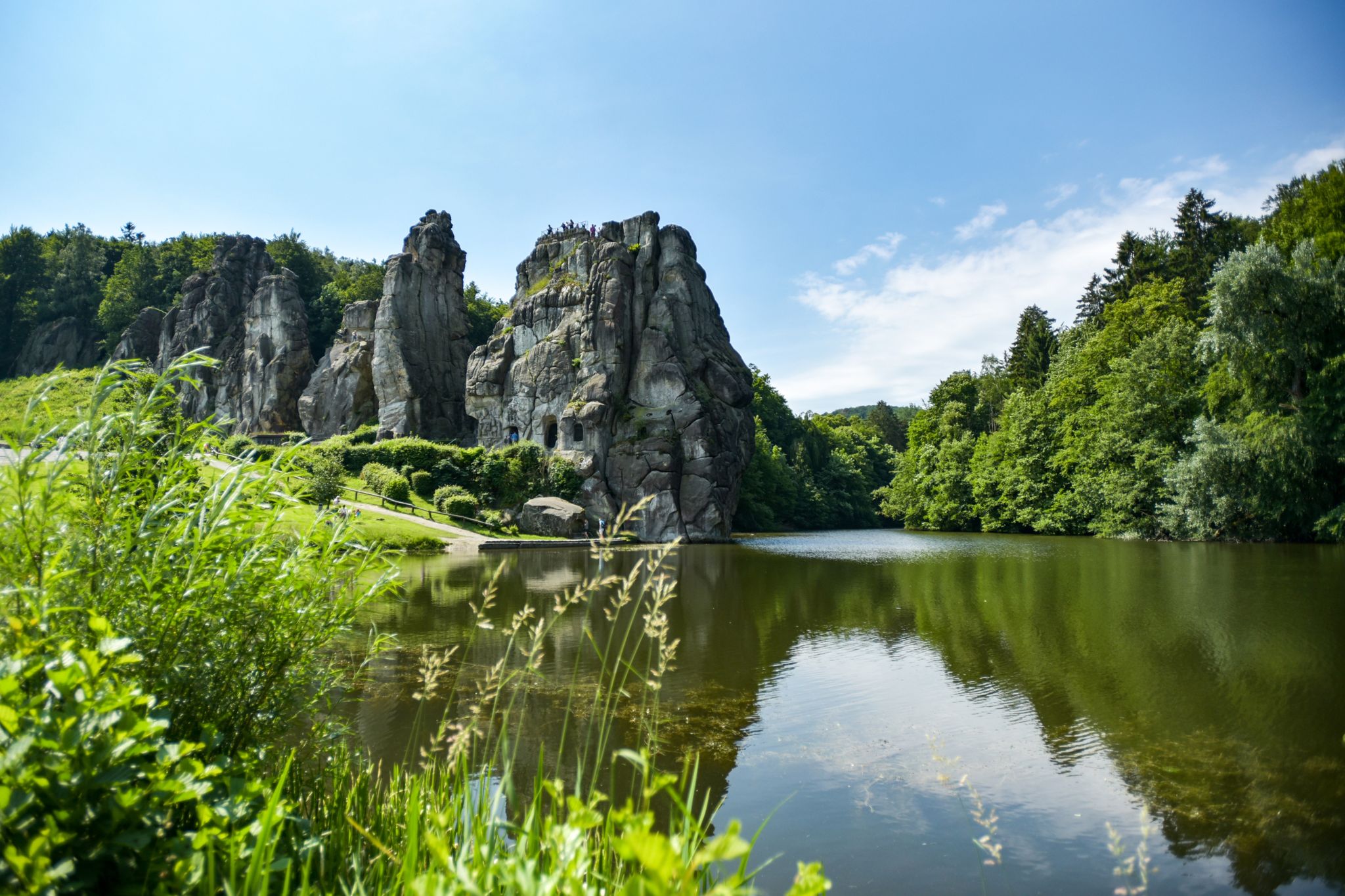
Hiking Germany's Hermannsweg – In the footsteps of the Cheruscan
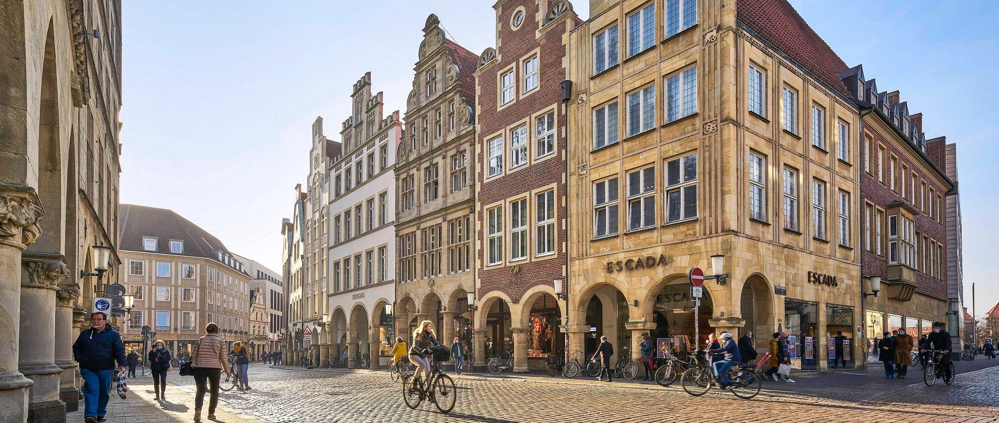
Germany's Westphalian City Tour — linking historic town centres
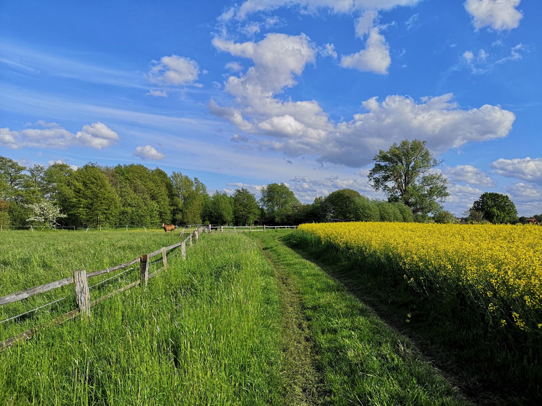
Hiking on Germany's Bückeberg Trail – Gentle hills and green forests
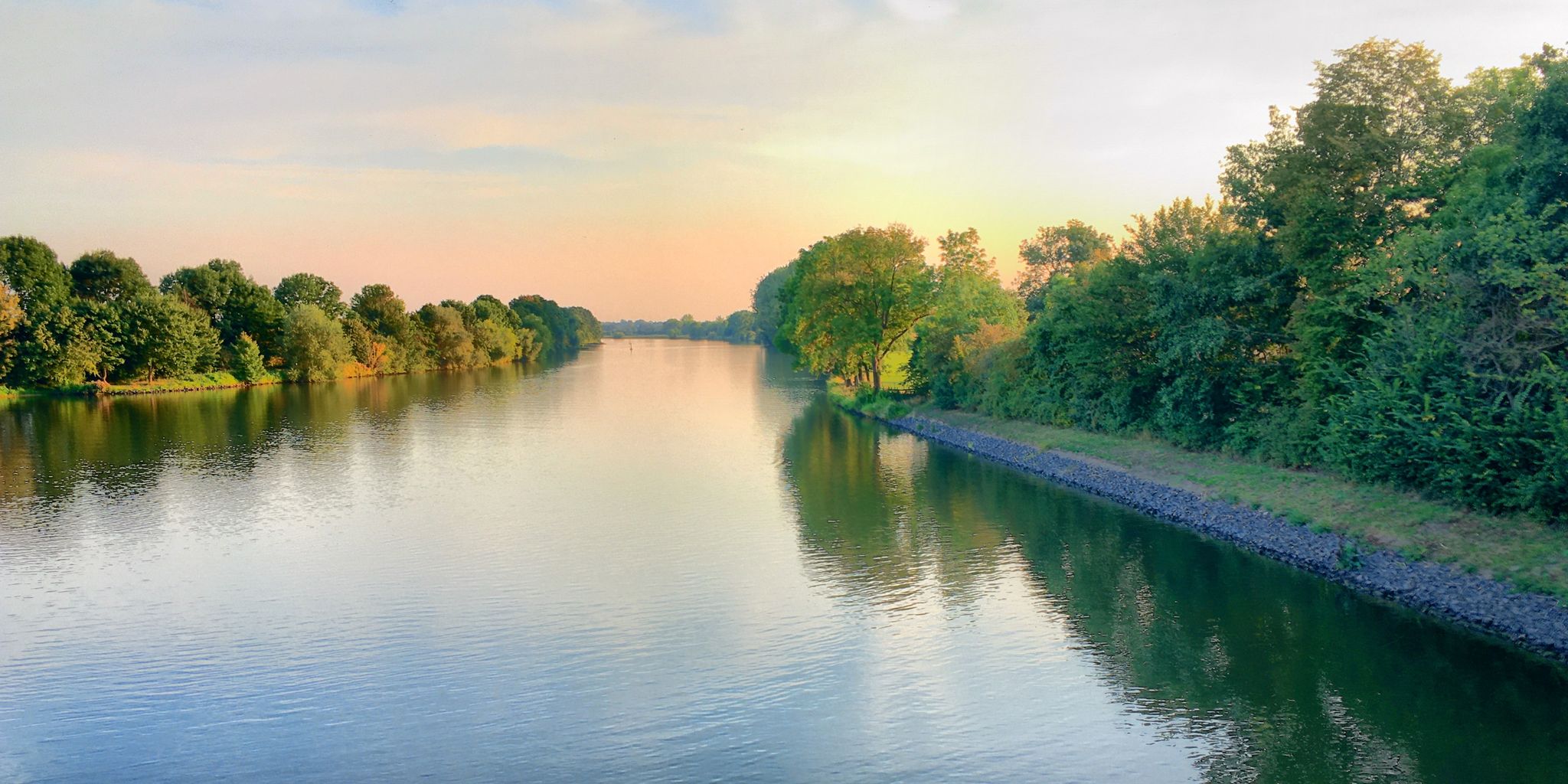
Germany's Weser Trail — Floodplains, dykes and old towns in 8 days
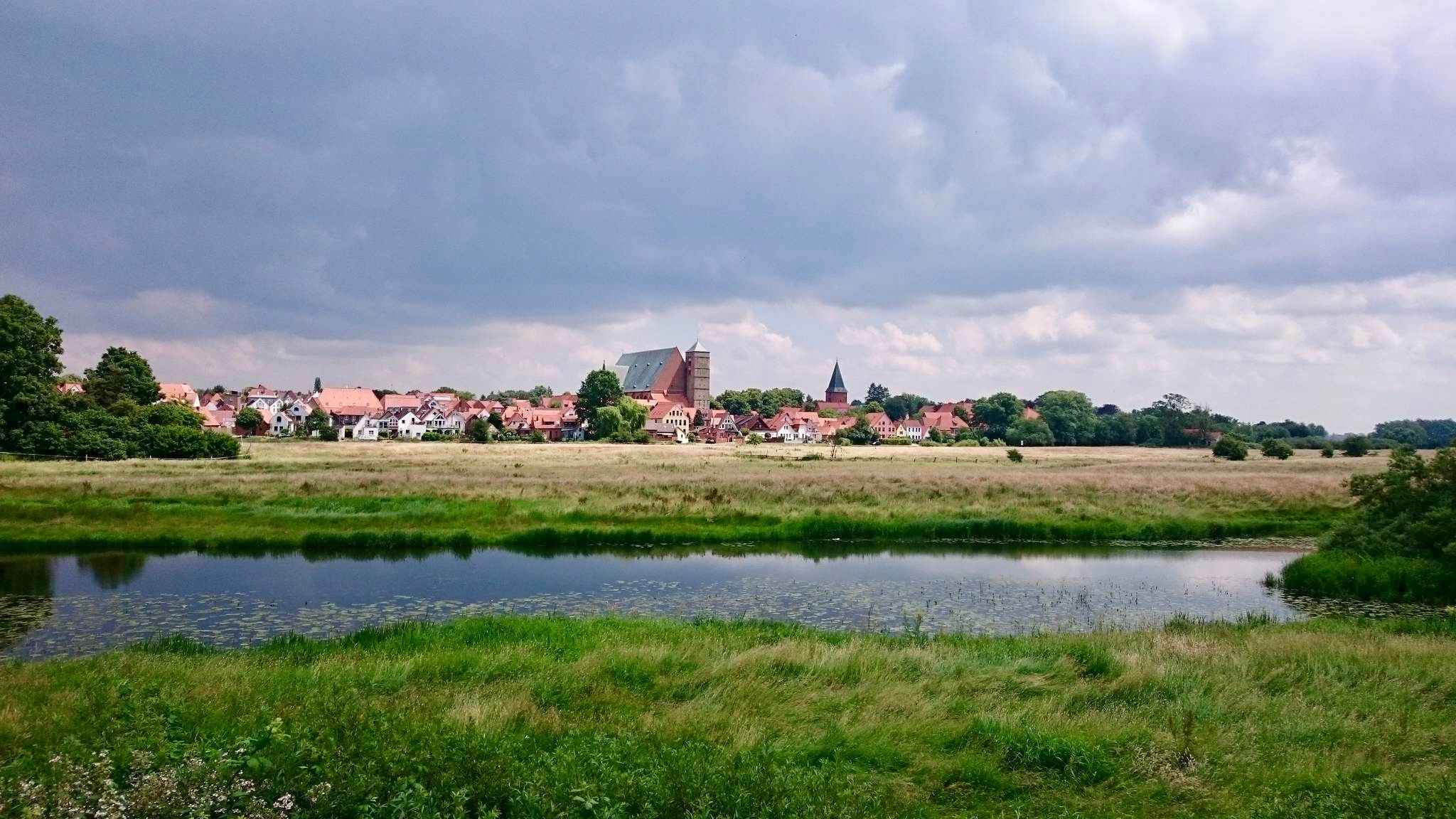
The Weser Cycle Path
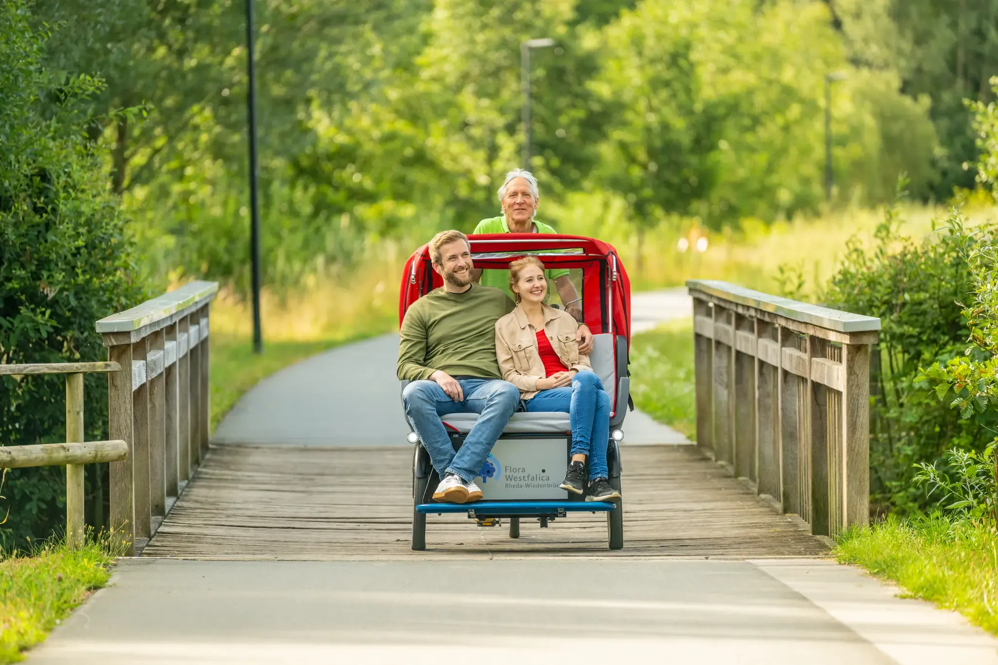
Historic Town Centres cycling route
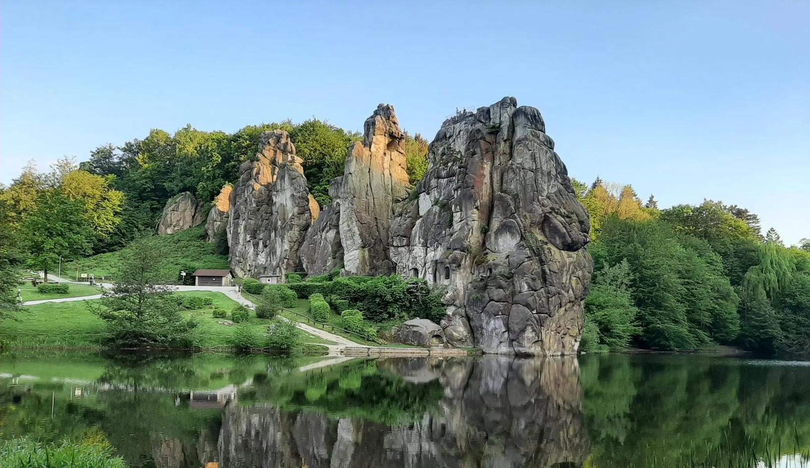
The National Natural Landscapes in Nordrhein-Westfalen
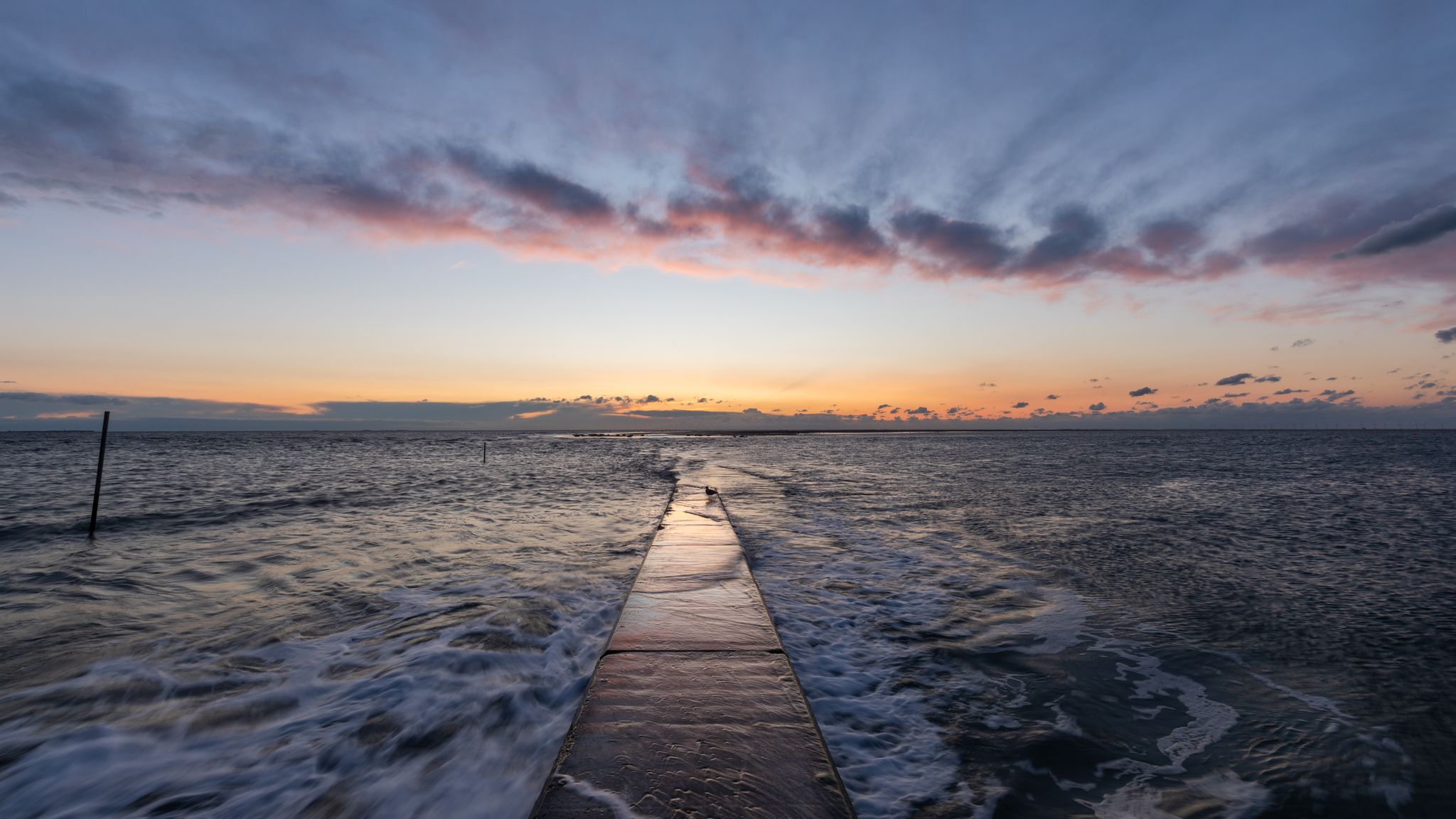
The National Natural Landscapes in Niedersachsen
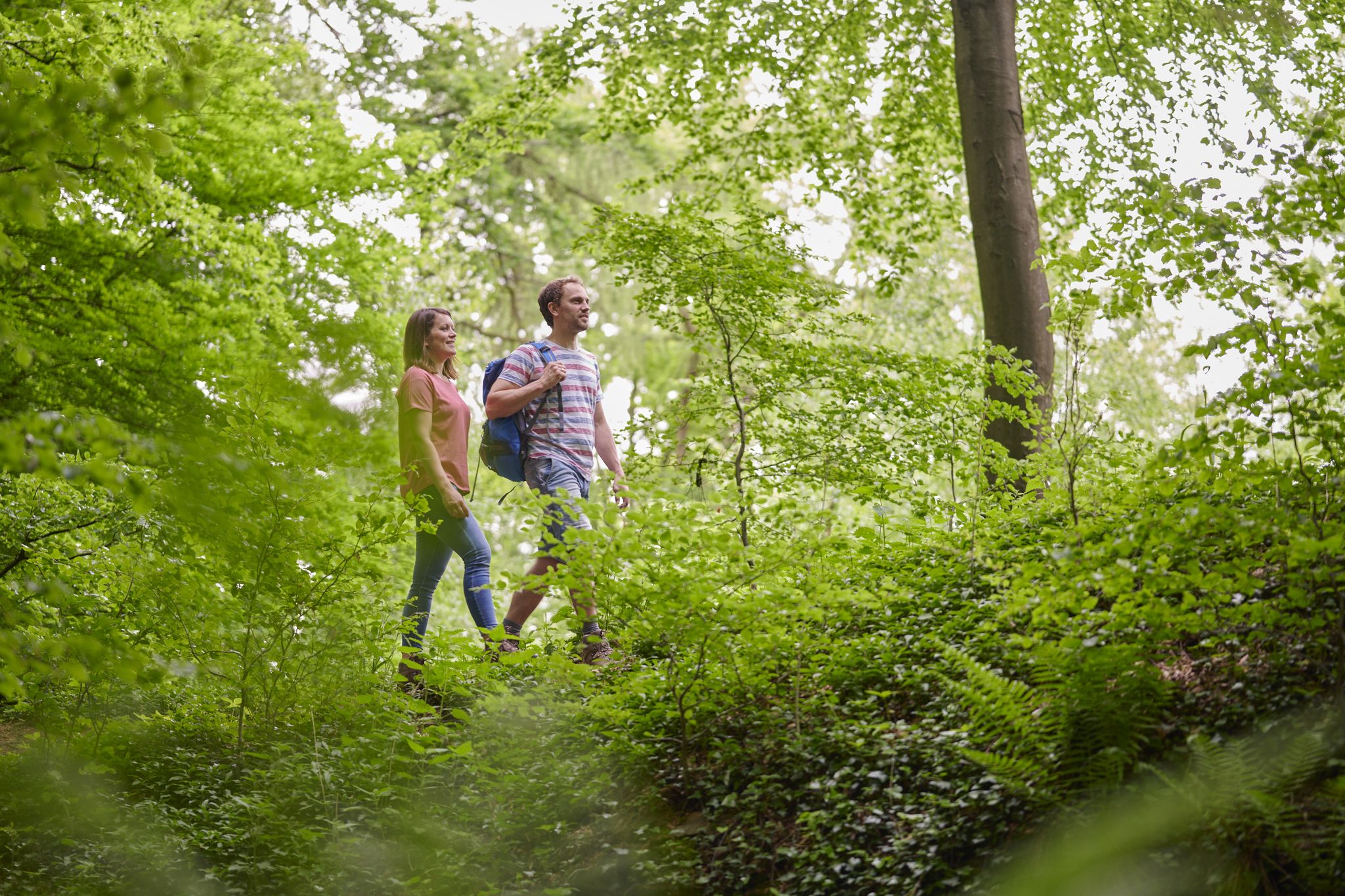
Culture and nature – hiking in Bad Oeynhausen
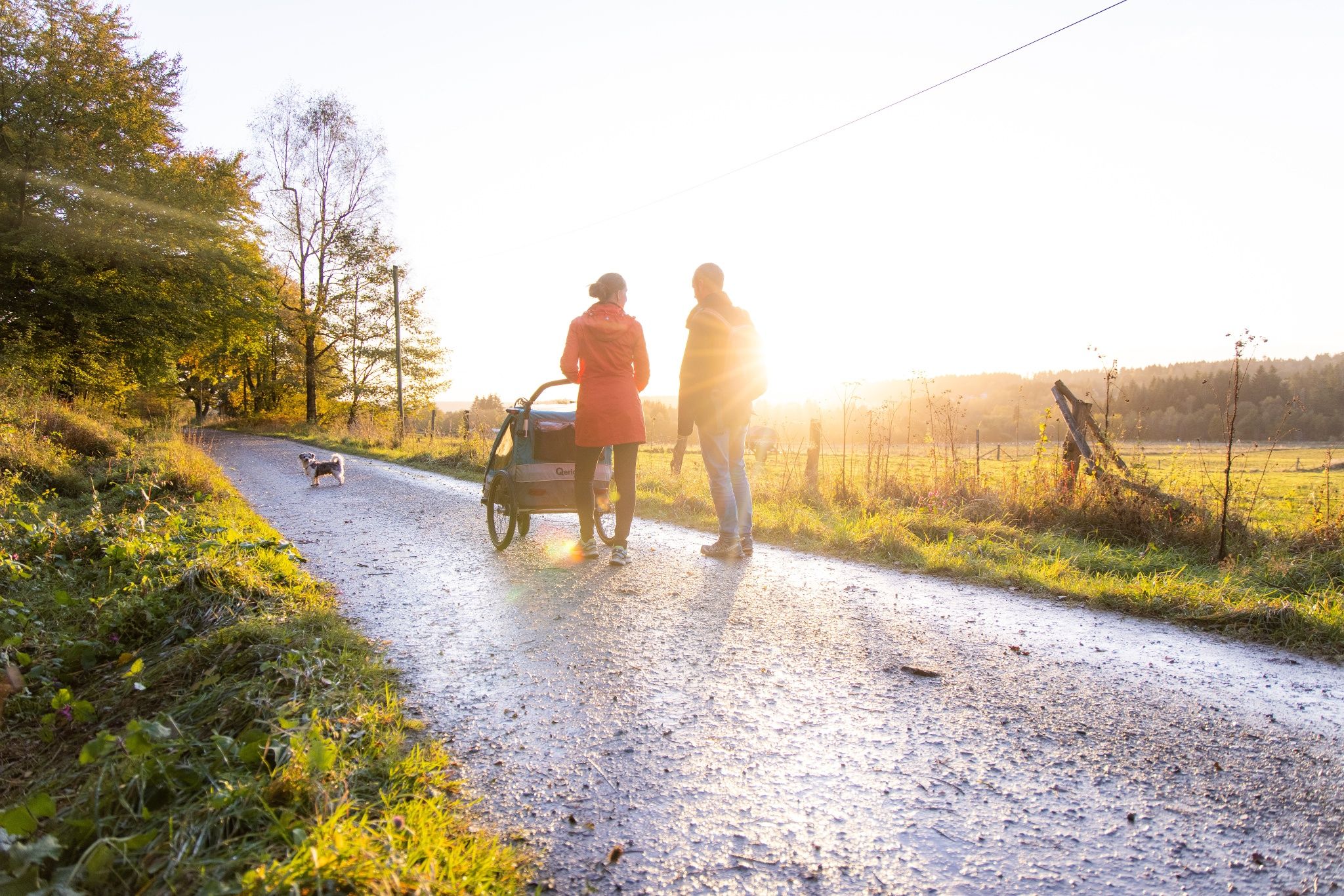
Short hikes and adventures for families in Weserbergland
Other adventures in Natur- Und Geopark Terra.Vita


Tips from the Community

It's a nice, quiet place to walk around, especially in the morning.
0
0

The Alfsee is located in the northern Bramgau region of the Osnabrück region. It lies approximately 25 km north of Osnabrück and 8 km north of Bramsche, southeast of the Ankumer Höhe. Approximately 95 percent of its area belongs to the western municipality of Alfhausen, after which the reservoir is named. The remainder, a bay in the eastern part of the lake, belongs to the eastern municipality of Rieste.
0
0
The Alfsee is a 2.2 km² reservoir in the northern part of the Osnabrück district in Lower Saxony (Germany). The Alfsee is the main reservoir of the Alfhausen-Rieste flood retention basin, which ensures flood protection in the Hase lowlands and serves as a local recreation area. It is operated by the Lower Saxony State Office for Water Management, Coastal Protection and Nature Conservation. The entire Alfhausen-Rieste flood retention basin is designated a nature reserve.
0
0
The 330 m long overflow sill, the inlet of the Alfsee, was built in 1974 with a 10 hectare settling basin. This is where sand and alluvial particles that would worsen the water quality of the lake are supposed to settle. The outlet structure was also built in 1974.
0
0


The Hase flows through small gates into the Alfsee.
0
0

At this point is the Alfsee retention basin. The waterski facility may be visible through the trees, it is next door at Dubbelausee. In reality, you have to walk quite a corner further.
0
0

Beautiful view into the distance
0
0
Frequently Asked Questions
How many running routes are available in Natur- Und Geopark Terra.Vita?
Natur- Und Geopark Terra.Vita boasts an extensive network of trails, with over 1,900 running routes documented on komoot. This includes a wide variety of paths suitable for different preferences and fitness levels.
Are there running routes for all fitness levels in the Geopark?
Yes, the Geopark offers a diverse range of running paths. You'll find over 260 easy routes, more than 1,400 moderate trails, and nearly 300 challenging routes, ensuring options for beginners to experienced runners. The varied terrain, from flat paths around lakes to hilly sections in the Teutoburg Forest, caters to all abilities.
What natural features or landmarks can I see while running in Natur- Und Geopark Terra.Vita?
The Geopark is rich in natural and geological wonders. You can encounter impressive rock formations like the "Rocks of Dörenther Klippen," explore canyons, or discover unique geological phenomena such as fossilized mudflats and Ice Age boulders. Specific highlights include the View of Lengerich Canyon and the Hermannsturm on the Dörenberg, which offers panoramic views.
Are the running routes in Natur- Und Geopark Terra.Vita well-marked?
The Geopark is known for its well-developed infrastructure, including over 1,200 kilometers of hiking trails. Many of these are part of the 80 themed "TERRA.tracks," which are typically well-signposted circular routes designed for easy navigation, making them ideal for jogging.
Are there many circular running routes available?
Yes, the Geopark features numerous circular running routes. The "TERRA.tracks" specifically are designed as circular paths, ranging from 3 to 19 kilometers, allowing you to start and finish at the same point without needing to retrace your steps.
When is the best time of year to go running in Natur- Und Geopark Terra.Vita?
The diverse landscapes of Natur- Und Geopark Terra.Vita make it suitable for running year-round. Spring brings vibrant orchid meadows, summer offers lush forests, autumn showcases beautiful foliage, and even winter can provide serene, crisp runs. Conditions vary, so checking local weather is always recommended.
Is parking available near the running trails?
Given the extensive trail network and its popularity as an outdoor destination, many trailheads and popular starting points within Natur- Und Geopark Terra.Vita offer designated parking facilities. It's advisable to check specific route details for parking information.
Can I reach the running trails using public transport?
As a well-established UNESCO Global Geopark, efforts are often made to ensure accessibility. Many areas within Natur- Und Geopark Terra.Vita are reachable by public transport, especially those closer to towns and villages. For specific routes, checking local bus or train schedules to nearby trail access points is recommended.
Are there family-friendly running paths in the Geopark?
Absolutely. The Geopark offers many easy and moderate routes that are suitable for families. Paths with minimal elevation gain, such as the Forest path through Heger Holz – West shore of Rubbenbruchsee loop from Eversburg, provide a pleasant experience for all ages. Themed trails like the "Dinosaur Trail at Barkhausen" also combine exercise with educational fun.
What do other runners enjoy most about jogging in Natur- Und Geopark Terra.Vita?
The area is highly rated by the komoot community, with an average score of 4.5 stars from over 1,600 reviews. Runners often praise the diverse landscapes, from mixed forests and peat bogs to the scenic views from the Teutoburg Forest and Wiehen Hills. The well-maintained trails and the opportunity to combine exercise with geological discovery are also frequently highlighted.
Are there any longer running routes for endurance training?
Yes, for those seeking longer distances, the Geopark provides several options. Routes like the Running loop from Borgholzhausen, at 21.7 km with significant elevation, or the Viewpoint Hünenburg – Parallel Trail Along the Ridge loop from SchücoArena, at 22.5 km, offer excellent opportunities for extended runs and endurance training.
Can I run with my dog in Natur- Und Geopark Terra.Vita?
Generally, dogs are welcome on trails in Natur- Und Geopark Terra.Vita. However, it's always recommended to keep them on a leash, especially in nature reserve areas, to protect wildlife and ensure a pleasant experience for all visitors. Please respect local signage and regulations.
Most popular routes in Natur- Und Geopark Terra.Vita
Most popular attractions in Natur- Und Geopark Terra.Vita

Get inspired with the komoot mobile app


Explore more
Browse the best Running Trails & Routes in other regions.
