The best road cycling routes in Nsg Halverder Moor
4.5
(61)
1,596
riders
130
rides
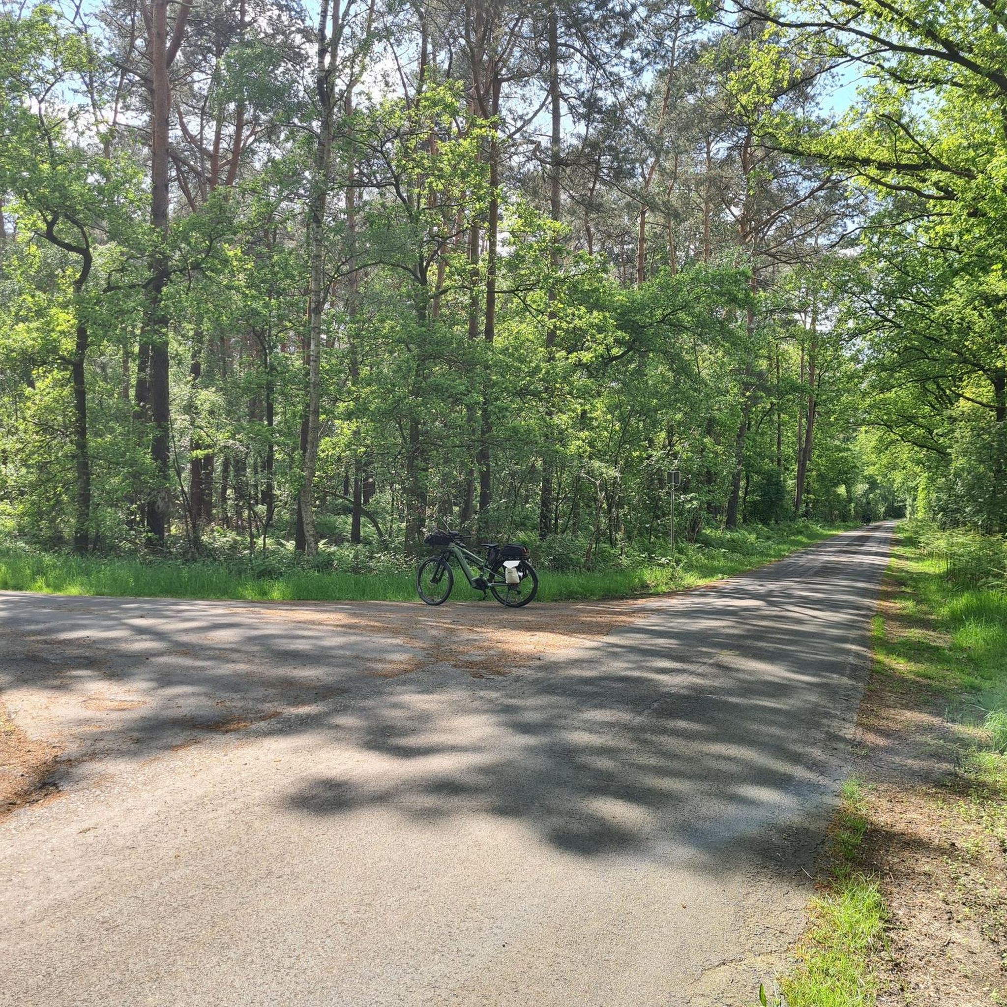
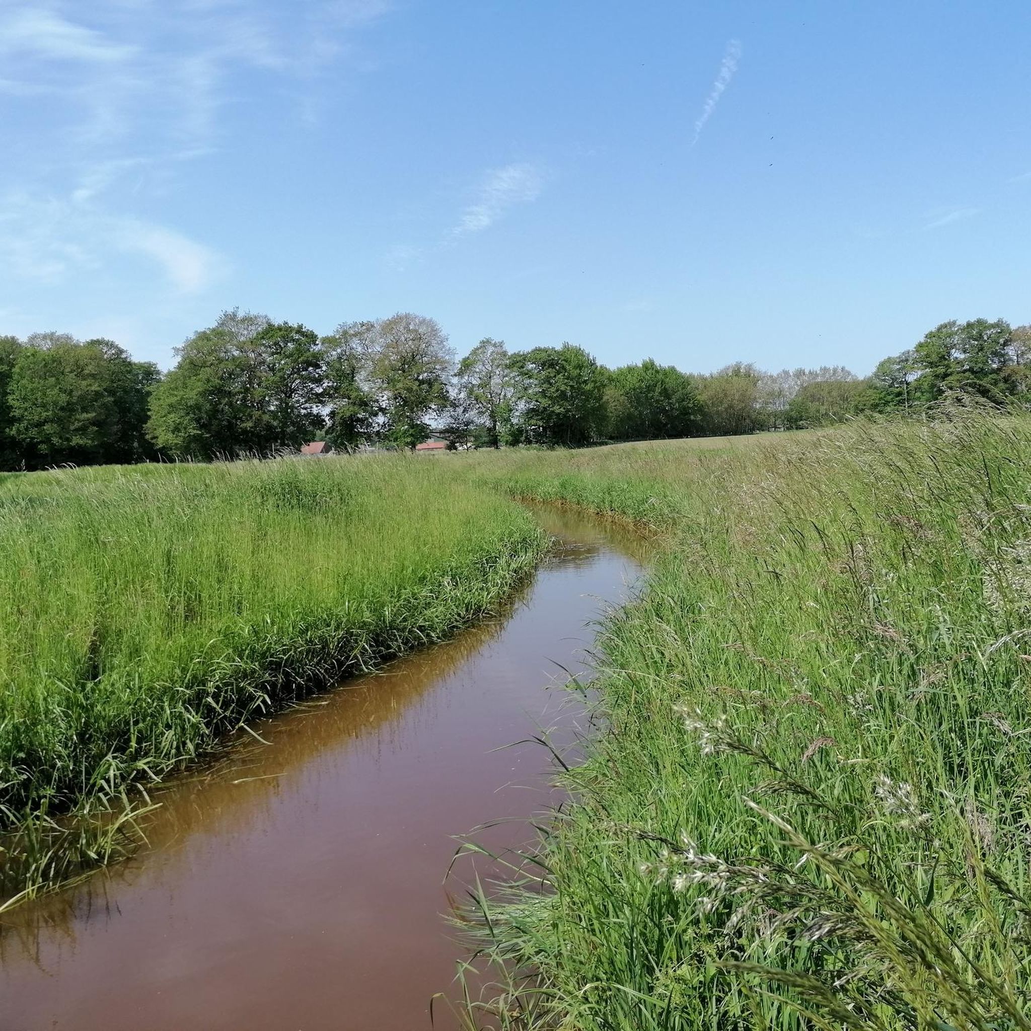
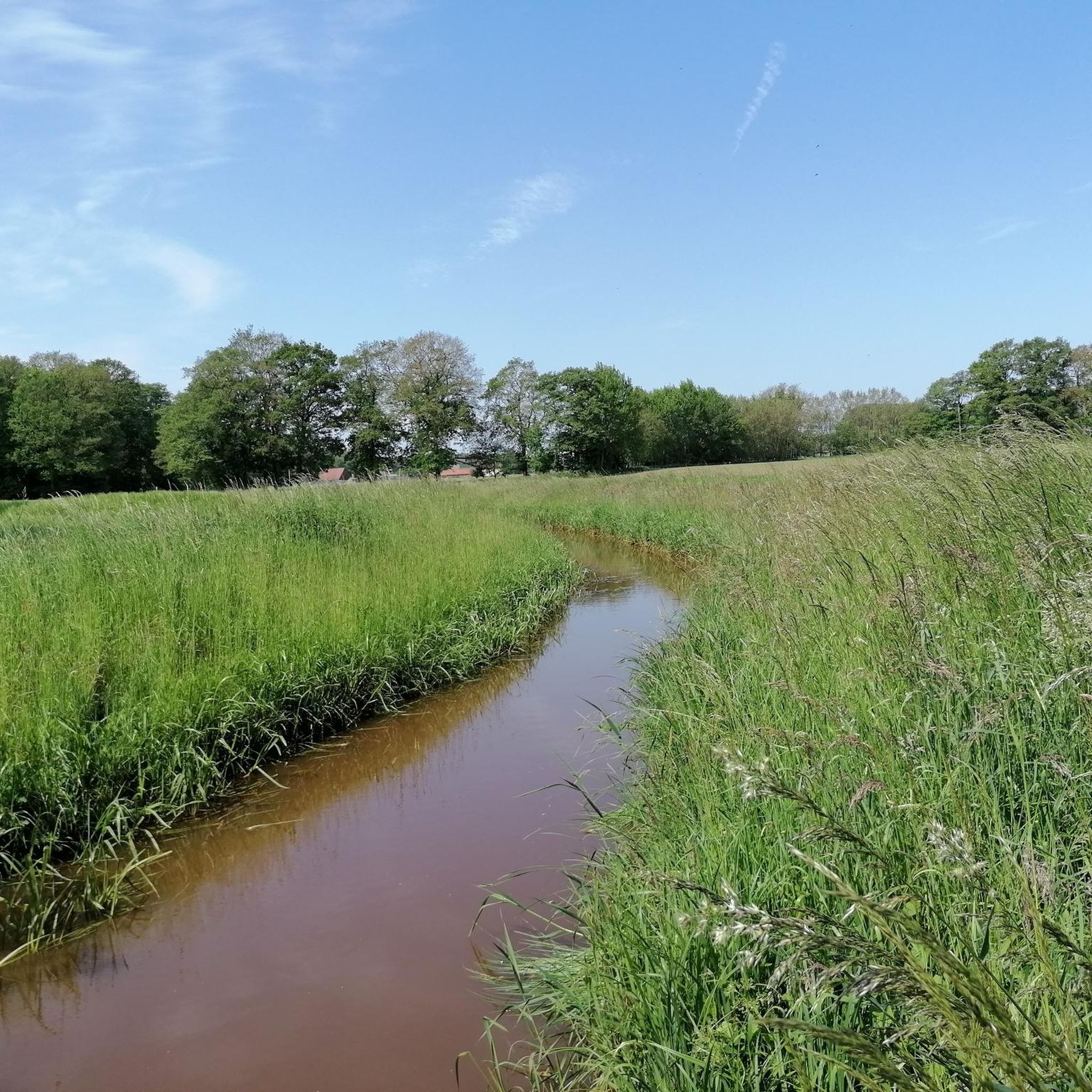
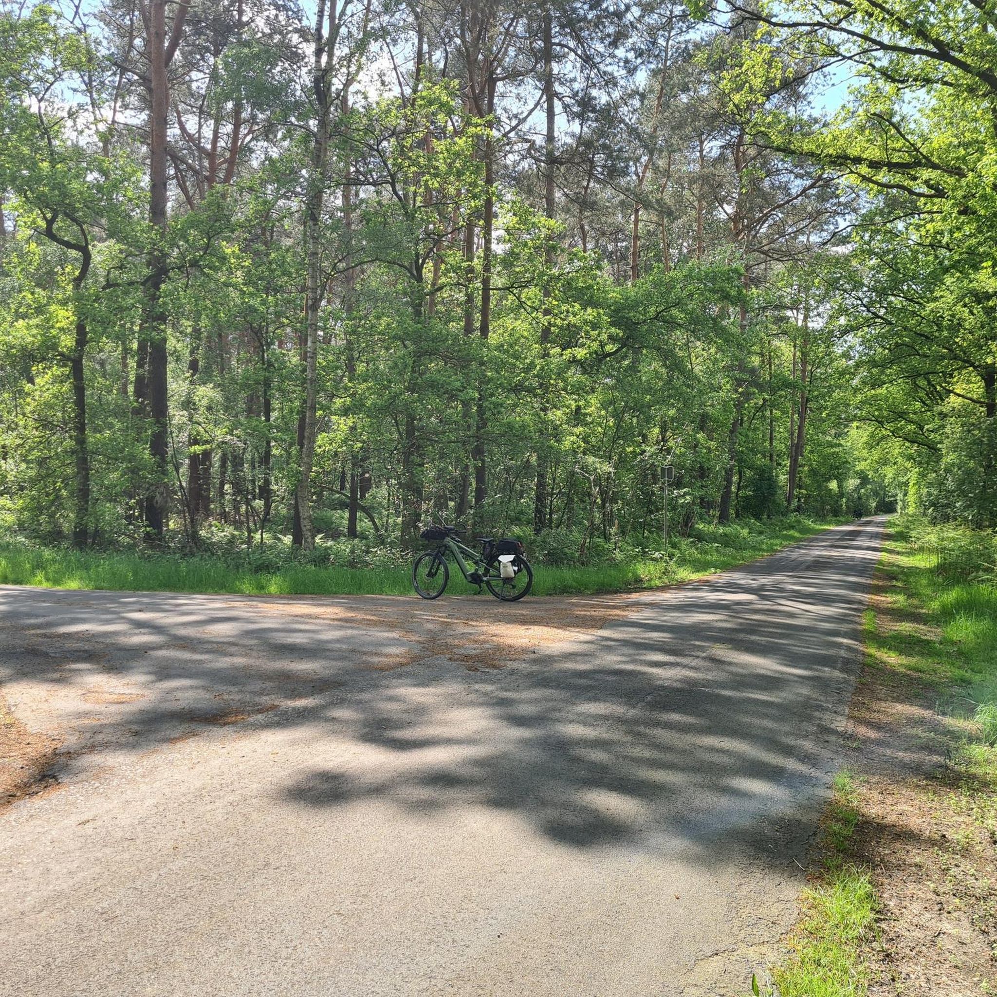
Road cycling routes in Nsg Halverder Moor traverse a distinctive moorland landscape characterized by open spaces and wet grasslands. The region, located in North Rhine-Westphalia, Germany, offers generally flat terrain suitable for road bikes. Cyclists can expect well-maintained paths that often border and traverse the nature reserve, providing a tranquil experience. The area's low elevation gains make it accessible for various fitness levels.
Best road cycling routes in Nsg Halverder Moor
- The most popular road cycling route is Handwerkerbaum Schapen…
Last updated: July 5, 2026
7
riders
Easy road ride. Great for any fitness level. Mostly well-paved surfaces and easy to ride.
8
riders
Moderate road ride. Good fitness required. Some segments of this route may be unpaved and difficult to ride.

Sign up for free
3.0
(2)
396
riders
39.6km
01:43
240m
240m
Easy road ride. Great for any fitness level. Mostly well-paved surfaces and easy to ride.
4.3
(3)
33
riders
29.1km
01:13
30m
30m
Moderate road ride. Great for any fitness level. Some segments of this route may be unpaved and difficult to ride.
8
riders
66.3km
02:40
180m
180m
Moderate road ride. Good fitness required. Mostly well-paved surfaces and easy to ride.
Get access to more routes and recommendations from other explorers.
Sign up for free
Already have an account?
Our route recommendations are based on thousands of hikes, rides, and runs completed by other people on komoot.
Start today with a free account
Your next adventure awaits.
Login or Signup
Tips from the Community

This cafe is highly recommended. It's a great place for cyclists to take a longer break. The coffee and cake are delicious.
0
0

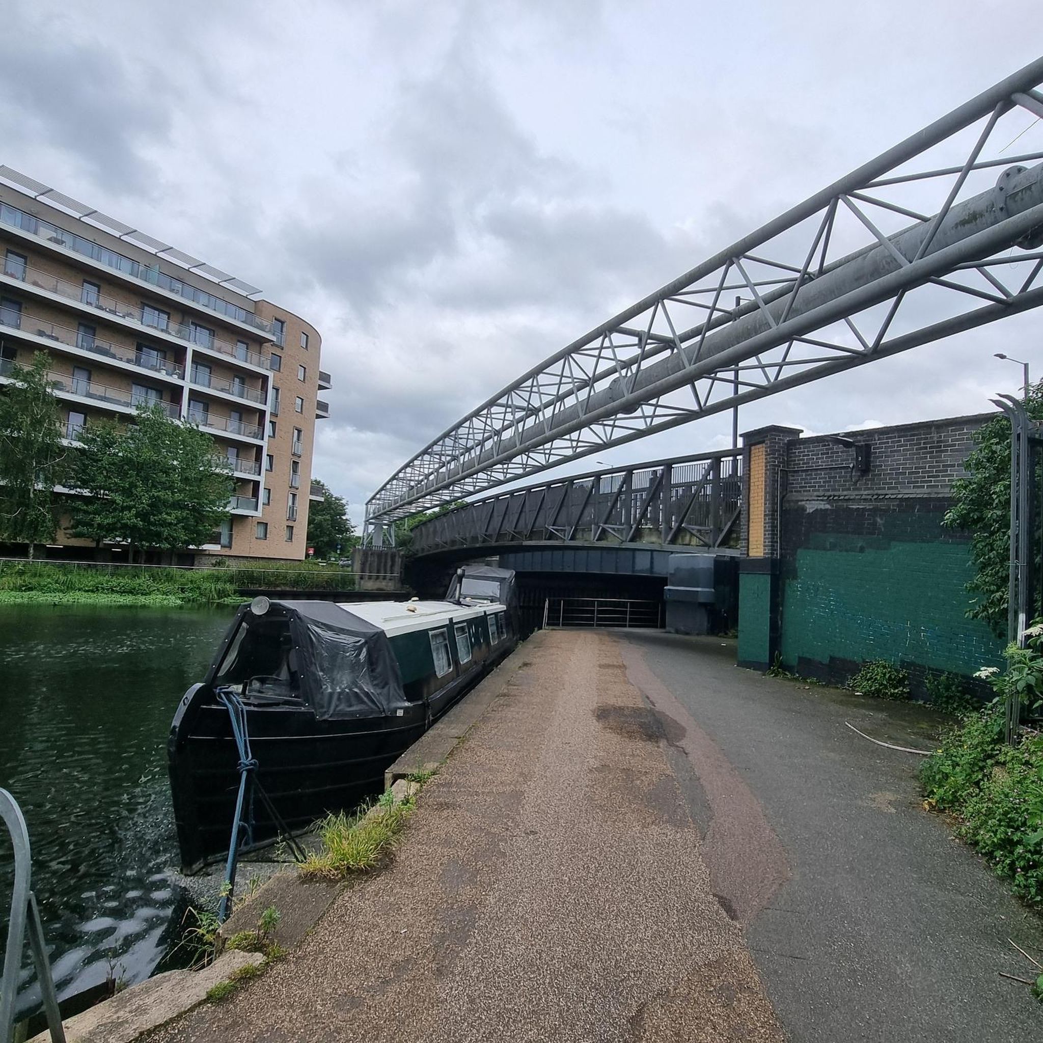
Beautiful view of the Mittelland Canal between Rücken and Mettingen, just take a break and enjoy the peace and the view.
0
0

A lovingly designed square with a large craftsman's tree and a shepherd's monument with sheep sculptures. This beautifully illustrates the town's history.
1
0

The Buchholzstraße has little traffic (but if there is traffic, then it's a race track) and top-quality asphalt. It's a great road to the village of Steinbeck. In the direction of Ibbenbüren, the Buchholzstraße climbs slightly but steadily.
1
0

New drinking water point
0
0

The churchyard and the adjacent café practically force you to take a break here. 🍰☕
0
0

In Beesten there is this pretty Töddenhaus. The Tödden were once traveling textile merchants.
1
0

Settlement in the area around Hopsten dates back to the Stone and Bronze Ages. The first written evidence dates back to 890 AD. The tax register of the Werden monastery on the Ruhr lists several farms in the Staden farming community. The first people settled on the old Flötte in the areas around the Stadener Esch, Rüschendorfer Esch and Stertesch. The southern farming communities of Breischen, Börnebrink and Aa were only settled later, as the moorland meant that only settlement on hills (on a "Hop seten") was possible. When Count Otto I of Tecklenburg acquired the Osnabrück High Bailiwick in 1236, the Schapen parish and the associated areas of Ostenwald and Stadener Wald became part of the County of Tecklenburg. The name Hopsten was first mentioned in a document in Osnabrück in 1265. There it mentions a ministerial named Fretherich von Hopseten.
4
0
Frequently Asked Questions
What kind of terrain can I expect when road cycling in Nsg Halverder Moor?
Nsg Halverder Moor is characterized by a distinctive moorland landscape with open spaces and wet grasslands. The terrain is generally flat, making it suitable for road bikes. You'll find well-maintained paths that often border and traverse the nature reserve, offering a tranquil cycling experience with low elevation gains.
Are there road cycling routes suitable for beginners in Nsg Halverder Moor?
Yes, Nsg Halverder Moor offers a good selection of routes for beginners. Approximately 26 of the available routes are rated as easy. An example is the Handwerkerbaum Schapen – Historic Center of Hopsten loop from Halverde, which is 15.1 miles (24.2 km) long and offers expansive moorland views.
What is the best time of year for road cycling in Nsg Halverder Moor?
The best time for road cycling in Nsg Halverder Moor is typically during the warmer, drier months, from spring through early autumn. This period offers more pleasant weather conditions and allows for better enjoyment of the open moorland landscape and its biodiversity. Cyclists may encounter diverse plant communities and various bird species during these seasons.
Are there any circular road cycling routes in the Nsg Halverder Moor area?
Many of the road cycling routes in Nsg Halverder Moor are designed as loops, allowing you to start and end at the same point. For instance, the Buchholzstraße – Drinking Water Fountain loop from Recke is an easy 24.6 miles (39.6 km) circular path featuring open landscapes.
What do other road cyclists enjoy most about the routes in Nsg Halverder Moor?
The road cycling routes in Nsg Halverder Moor are highly rated by the komoot community, with an average score of 4.6 stars from over 50 reviews. Cyclists often praise the unique moorland landscape, the sense of tranquility, and the well-maintained, generally flat paths that are ideal for road biking.
Can I find cafes or places to stop for refreshments along the road cycling routes?
While Nsg Halverder Moor itself is a nature reserve focused on conservation, the surrounding villages and towns like Hopsten and Recke offer various cafes and pubs where you can stop for refreshments. Routes often pass through or near these settlements, providing opportunities for breaks.
Are there any viewpoints or natural features to look out for while cycling?
As a nature reserve, Nsg Halverder Moor's primary natural feature is its unique moorland and wet grassland ecosystem. Cyclists can expect views of expansive, open landscapes and may observe diverse plant communities and various bird species, amphibians, and invertebrates that thrive in this wetland environment. The area offers a serene natural experience.
Is Nsg Halverder Moor suitable for family road cycling trips?
Given the generally flat terrain and the presence of easy-rated routes, Nsg Halverder Moor can be suitable for family road cycling. Routes like the Handwerkerbaum Schapen – Historic Center of Hopsten loop from Halverde are accessible and offer a pleasant experience for various fitness levels, including families.
How many road cycling routes are available in Nsg Halverder Moor?
There are over 130 road cycling routes available in Nsg Halverder Moor, catering to various skill levels. This includes a significant number of easy and moderate routes, with a few more challenging options for experienced cyclists.
What are some of the longer road cycling routes in the area?
For those looking for longer rides, routes like the Bevergern Lock – Bathing Spot on the Canal loop from Recke cover a distance of 41.2 miles (66.3 km). This moderate route offers an extended experience through the region's landscapes.
Can I access the road cycling routes in Nsg Halverder Moor by public transport?
While specific public transport links directly to trailheads within the nature reserve might be limited, the towns and villages surrounding Nsg Halverder Moor, such as Hopsten and Recke, are generally accessible by local bus services. From these points, you can often connect to the cycling network. It's advisable to check local transport schedules for the most up-to-date information.
Where can I park my car when visiting Nsg Halverder Moor for road cycling?
Parking facilities are typically available in the nearby towns and villages that serve as starting points for many routes, such as Halverde, Recke, or Hopsten. Look for designated parking areas in these communities, which often provide convenient access to the road cycling network around Nsg Halverder Moor.
Most popular routes in Nsg Halverder Moor

Get inspired with the komoot mobile app


Explore more
Browse the best Road cycling routes in other regions.
