The best walks and hikes in Kootwijkerveen
4.5
(12110)
67,786
hikers
30
hikes
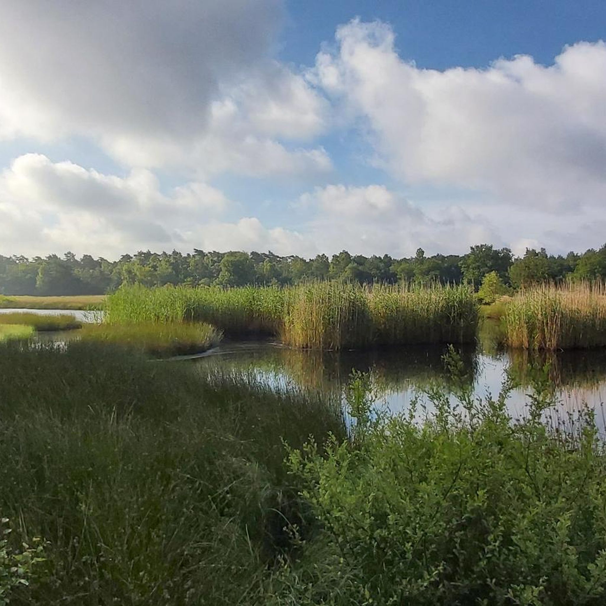
Hiking in Kootwijkerveen is characterized by its unique fen and raised bog environment, situated within a broader landscape of forests and heathlands. This area, part of the Veluwe region, offers varied terrain including extensive moors and shifting sand plains. The topography features gentle relief, providing diverse natural scenery for hikers.
Best hiking trails in Kootwijkerveen
- The most popular hiking route is View of the Pond in Veluwe – Kootwijkerveen loop from Nieuw-Milligen, a 11.3 miles (18.3 km) trail that…
Last updated: June 25, 2026
4.7
(188)
901
hikers
Moderate hike. Good fitness required. Easily-accessible paths. Suitable for all skill levels.
4.4
(10)
52
hikers
Hard hike. Very good fitness required. Easily-accessible paths. Suitable for all skill levels.

Sign up for free
4.0
(9)
46
hikers
25.4km
06:29
90m
90m
Hard hike. Very good fitness required. Easily-accessible paths. Suitable for all skill levels.
4.3
(3)
20
hikers
8.31km
02:07
30m
30m
Moderate hike. Good fitness required. Easily-accessible paths. Suitable for all skill levels.
4.3
(4)
27
hikers
5.80km
01:29
30m
30m
Easy hike. Great for any fitness level. Easily-accessible paths. Suitable for all skill levels.
Get access to more routes and recommendations from other explorers.
Sign up for free
Already have an account?
Our route recommendations are based on thousands of hikes, rides, and runs completed by other people on komoot.
Start today with a free account
Your next adventure awaits.
Login or Signup

Other adventures in Kootwijkerveen

Tips from the Community

Beautiful, but also a viewpoint popular with motorists.
2
0

It is wonderful to walk through the forest here. Magnificent nature and pleasant tranquility surround you here.
0
1

Cycling has been prohibited near Kootwijkerven since the spring of 2025. To protect rare reptiles, the path has also been raised for hikers. This protective measure therefore goes beyond simply closing it off for cyclists. You can still cycle freely in all the surrounding forests, and as cyclists in these forests, we have more to lose than to gain. So let's be friendly to Staatsbosbeheer and respect closures like this.
4
0

The path along Kootwijkerveen has been closed to cyclists since the summer of 2025 to protect reptiles. Only pedestrians are permitted.
3
0

Fan of climbing and descending? You can find this Highlight in 'Climbing in the Netherlands', our book with 14 racing bike routes, good for 11,000+ altitude meters: Limburg, Nijmegen, Twente, Veluwe and many more. All routes have multiple distances/shortcuts. Komoot Premium month at €5 + 50% discount Climbfinder premium at €15 as a gift. Download the ebook for €14: https://bit.ly/klimmen-in-nederland
0
0


Perfect for a break, as there are not many other options in the area for a break with refreshments.
15
0

Rest area with a nice view.
1
0
Frequently Asked Questions
What types of landscapes can I expect to see while hiking in Kootwijkerveen?
Kootwijkerveen offers a diverse hiking experience, characterized by its unique fen and raised bog environment. You'll also traverse extensive forests, heathlands, and shifting sand plains, particularly in areas like Kootwijkerzand. The wider Veluwe region, where Kootwijkerveen is located, is known for its varied natural scenery and gentle relief.
Are there many hiking trails available in Kootwijkerveen?
Yes, Kootwijkerveen features over 25 hiking trails. These routes cater to various abilities, with 16 easy, 11 moderate, and 1 difficult trail, ensuring options for every hiker.
What kind of wildlife might I encounter on the trails?
Kootwijkerveen is rich in wildlife. You might spot adders, sand lizards, and a variety of butterflies and dragonflies. Birdwatchers can look for skylarks, little grebes, and nightjars. In the broader Veluwe, there's a chance to see the 'Big Five' of the Netherlands: foxes, badgers, roe deer, wild boar, and red deer, as well as mouflon and Scottish Highlanders. Early morning or late afternoon are often the best times for wildlife observation from designated posts.
Are there any easy hiking routes suitable for beginners or families?
Yes, Kootwijkerveen offers 16 easy hiking routes. A good option for a relaxed walk is the Halte Assel Eatery – Bridge Over the A1 loop from Assel, which is about 4.5 km long and features minimal elevation changes.
Can I find circular hiking routes in Kootwijkerveen?
Many of the trails in Kootwijkerveen are designed as circular routes. For example, the popular View of the Pond in Veluwe – Kootwijkerveen loop from Nieuw-Milligen is a moderate 18.3 km loop that explores the fen and forest landscapes.
What do other hikers say about the trails in Kootwijkerveen?
The hiking trails in Kootwijkerveen are highly rated by the komoot community, with an average score of 4.5 stars from over 3000 reviews. Hikers often praise the well-maintained paths, the tranquility, and the diverse natural scenery, especially the unique fen and bog ecosystems.
Are there any notable landmarks or points of interest along the hiking trails?
While hiking, you can explore natural features like Kootwijkerveen itself, which refers to the fen area, and enjoy views from View Over the Garderense Veen. The broader Veluwe region also features the impressive sand dunes of Kootwijkerzand and the historical Radio Kootwijk building.
Are there places to eat or rest near the trails?
Yes, there are amenities available. For instance, Halte Assel Eatery is a highlight that serves as a convenient stop. You can find routes starting from or passing by such locations, like the Halte Assel Eatery – View of the Pond in Veluwe loop from Assel.
What is the best time of year to go hiking in Kootwijkerveen?
Kootwijkerveen offers enjoyable hiking experiences throughout the year. Spring brings blooming flora, summer provides lush greenery, and autumn showcases vibrant fall colors. The unique fen and bog landscapes are particularly striking in different seasons, offering varied visual appeal.
How long are the typical hiking trails in Kootwijkerveen?
Trail lengths vary significantly. You can find shorter walks, such as the 4.5 km Halte Assel Eatery – Bridge Over the A1 loop from Assel, up to longer, more challenging routes like the 27.1 km View of the Pond in Veluwe – Kootwijkerzand loop from Nieuw-Milligen, which can take over 6 hours to complete.
Is Kootwijkerveen accessible by public transport, and is parking available?
While specific public transport details to trailheads are not provided, the area is generally well-equipped for hikers. Many routes, like the Kootwijkerveen – View of the Pond in Veluwe loop from Assel, often start from locations with parking facilities or are accessible via local transport connections within the broader Veluwe region.
Most popular routes in Kootwijkerveen
Most popular attractions in Kootwijkerveen

Get inspired with the komoot mobile app


Explore more
Browse the best Hikes in other regions.
