Nsg Dueffel - Kellener Altrhein Und Flussmarschen
Nsg Dueffel - Kellener Altrhein Und Flussmarschen
The best mountain hikes in Nsg Dueffel - Kellener Altrhein Und Flussmarschen
4.8
(16)
48
hikers
6
hikes
Mountaineering routes in Nsg Dueffel - Kellener Altrhein Und Flussmarschen traverse an expansive meadow landscape characterized by open fields, wetlands, and riverine features shaped by the Rhine. While not a traditional alpine mountaineering destination, the region offers varied terrain including some areas with elevation changes and a rugged, forested hilly landscape near the Duivelsberg. These routes provide opportunities for engaging in nature-oriented pursuits amidst a unique cultural landscape.
Best mountaineering routes in Nsg Dueffel - Kellener Altrhein Und Flussmarschen
- The…
Last updated: July 4, 2026
4.8
(8)
21
hikers
Moderate mountaineering route. Good fitness required. Easily-accessible paths. Suitable for all skill levels.
2
hikers
Easy mountaineering route. Great for any fitness level. Easily-accessible paths. Suitable for all skill levels.

Sign up for free
5.0
(1)
1
hikers
Easy mountaineering route. Great for any fitness level. Easily-accessible paths. Suitable for all skill levels.
1
hikers
Easy mountaineering route. Great for any fitness level. Easily-accessible paths. Suitable for all skill levels.
1
hikers
Easy mountaineering route. Great for any fitness level. Easily-accessible paths. Suitable for all skill levels.
Our route recommendations are based on thousands of hikes, rides, and runs completed by other people on komoot.
Start today with a free account
Your next adventure awaits.
Login or Signup
Popular around Nsg Dueffel - Kellener Altrhein Und Flussmarschen
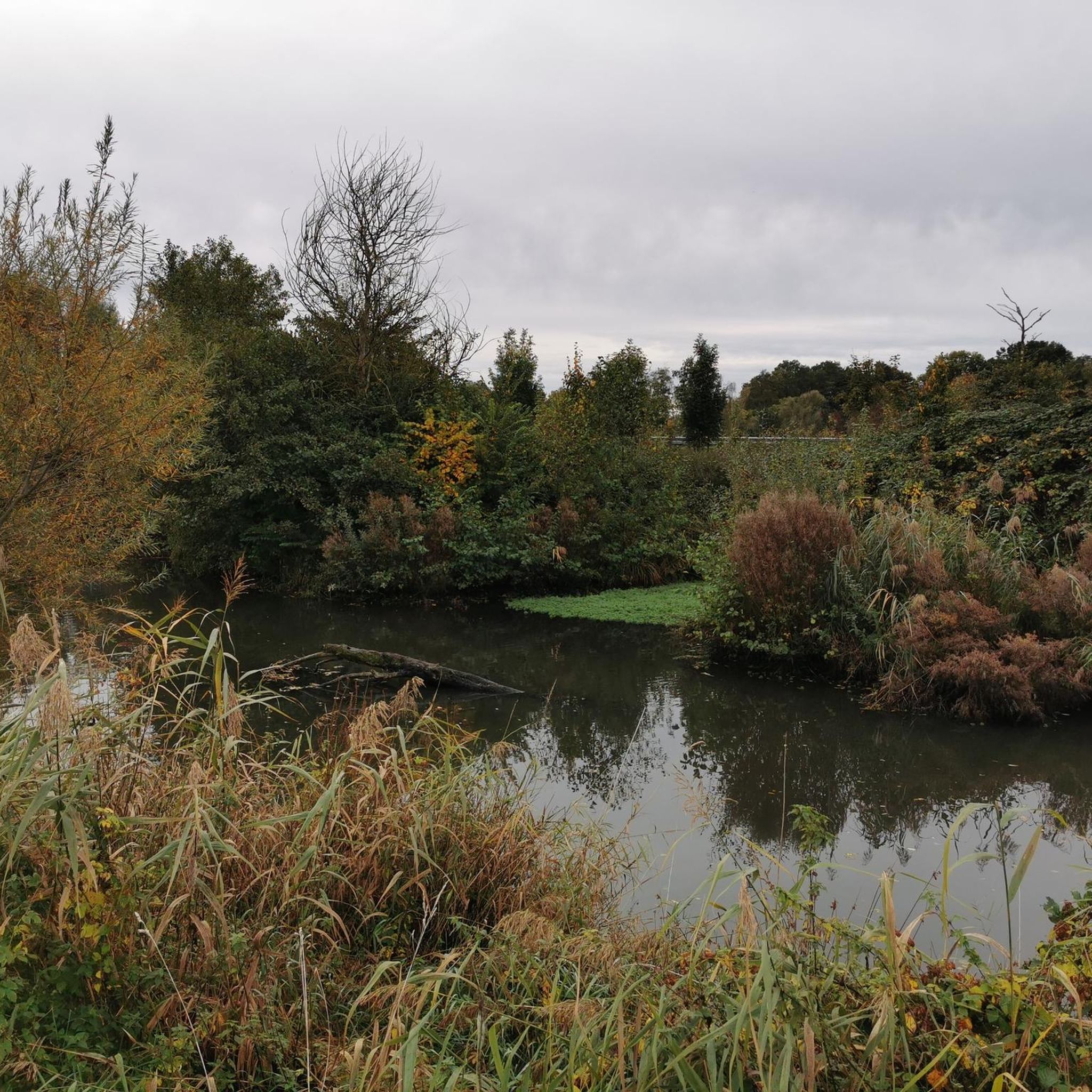
Cycling in Nsg Dueffel - Kellener Altrhein Und Flussmarschen
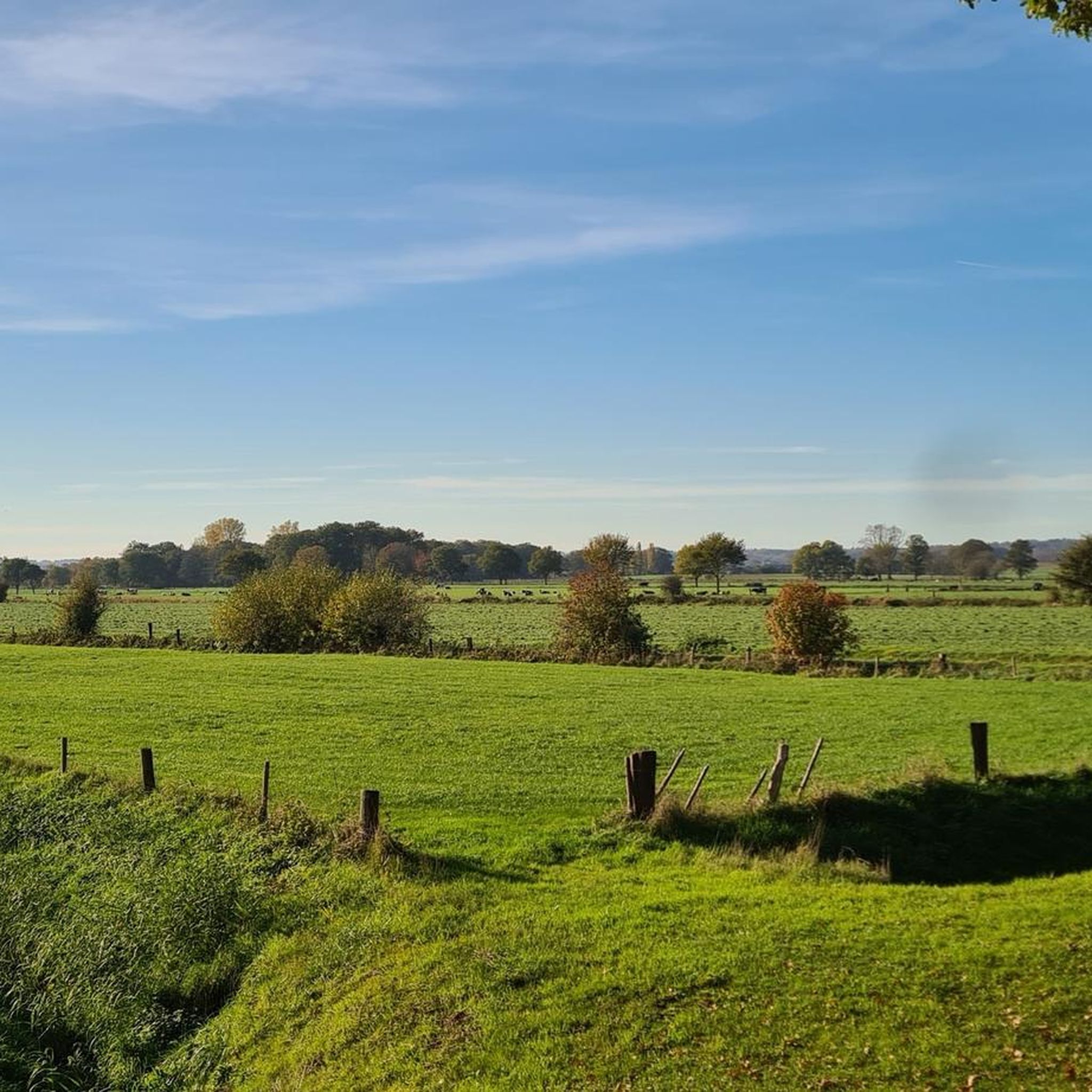
MTB Trails in Nsg Dueffel - Kellener Altrhein Und Flussmarschen
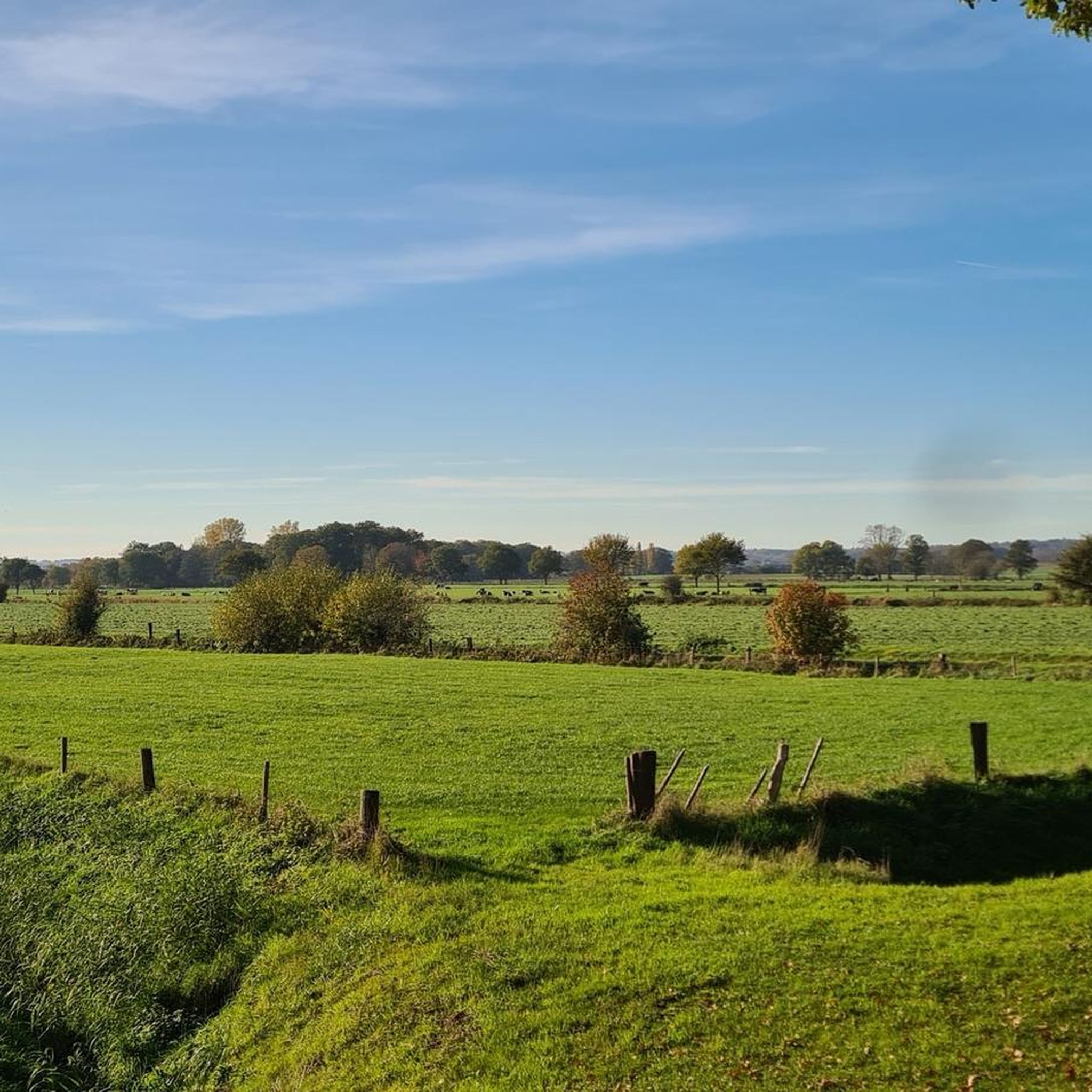
Hiking in Nsg Dueffel - Kellener Altrhein Und Flussmarschen
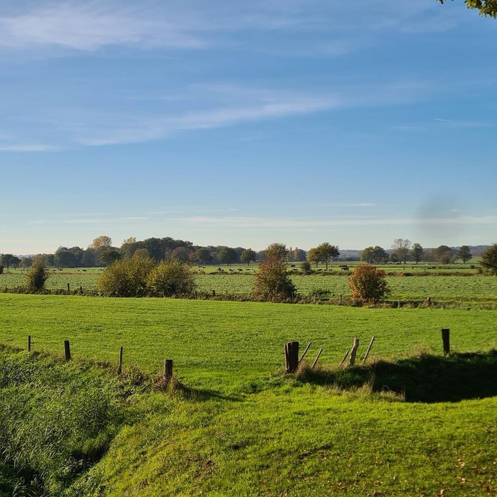
Road Cycling Routes in Nsg Dueffel - Kellener Altrhein Und Flussmarschen
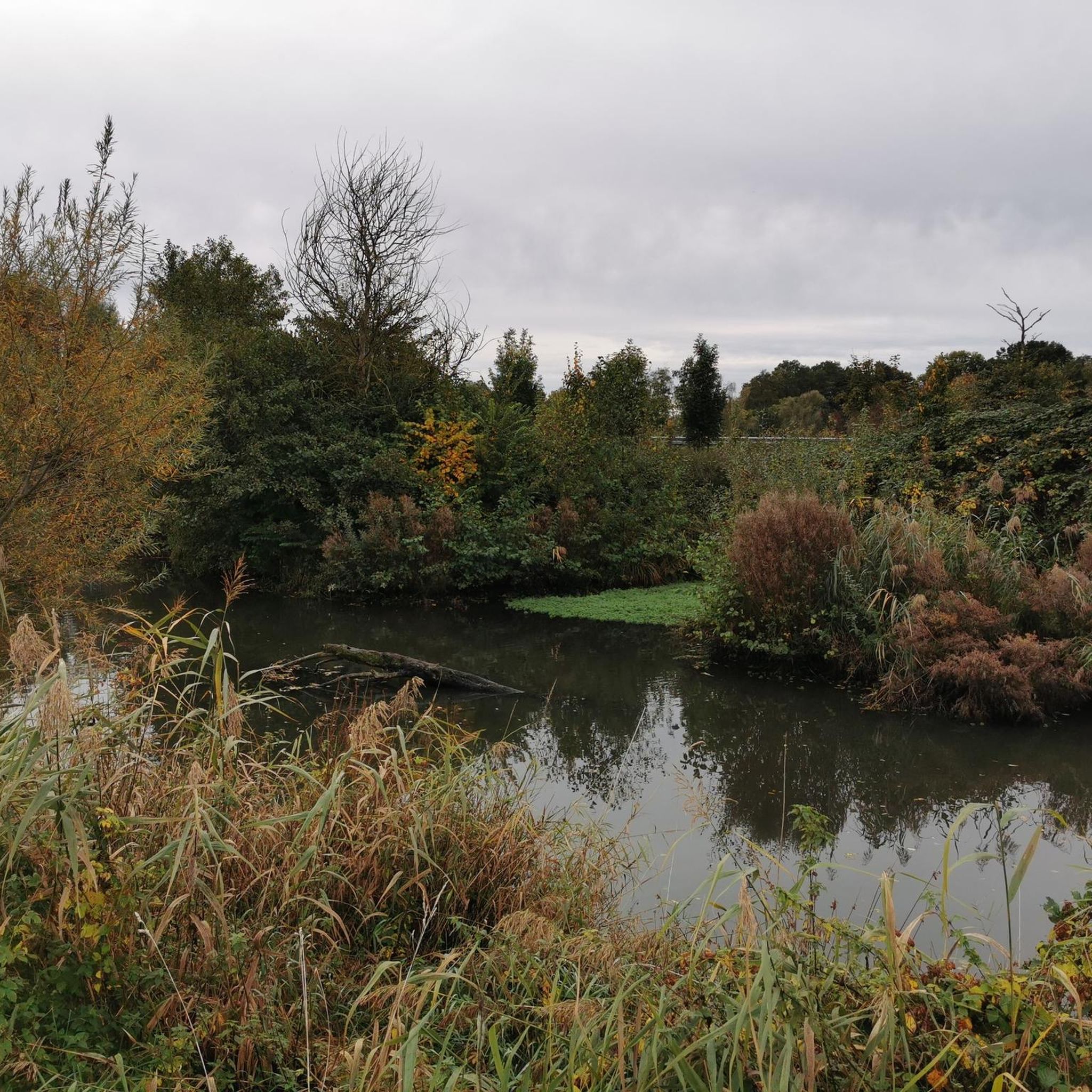
Running Trails in Nsg Dueffel - Kellener Altrhein Und Flussmarschen
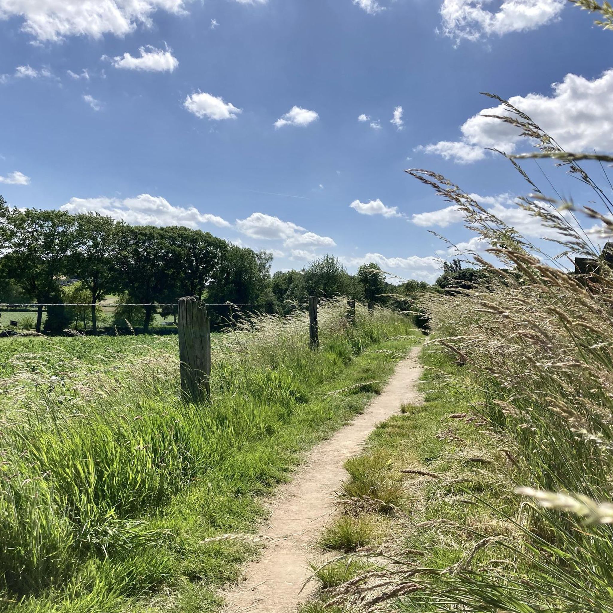
Gravel biking in Nsg Dueffel - Kellener Altrhein Und Flussmarschen
Tips from the Community

you will encounter enough of these little stairs
0
0


It can be busy on weekends. It is a popular hiking area.
1
0

The thought is nice, but there would be better benches upstairs
0
0

nice area for walking, dogs are allowed to run free here between 1-10 and 1-5
1
0

Beautiful view over the Rhine Valley
0
0
Frequently Asked Questions
How many mountaineering routes are available in Nsg Dueffel - Kellener Altrhein Und Flussmarschen?
There are 6 mountaineering routes in Nsg Dueffel - Kellener Altrhein Und Flussmarschen. These include 4 easy and 2 moderate options, offering a range of experiences for different skill levels.
What kind of terrain can I expect on mountaineering routes in this region?
While Nsg Dueffel - Kellener Altrhein Und Flussmarschen is largely characterized by expansive meadowlands and wetlands, some routes, particularly around the Duivelsberg, feature noticeable elevation changes and steep slopes through forested, hilly landscapes. You'll encounter a mix of flat paths along the Kellener Altrhein and more undulating terrain in the wooded areas.
Are there any circular mountaineering routes in Nsg Dueffel - Kellener Altrhein Und Flussmarschen?
Yes, all the mountaineering routes listed for Nsg Dueffel - Kellener Altrhein Und Flussmarschen are circular. For example, you can explore the Picnic Spot by the Stream – Heerlijkheid Beek Viewpoint loop from Berg en Dal or the Sunken Path in the Forest – Devil's Mountain (Duivelsberg) loop from Berg en Dal, both offering a return to your starting point.
What are some notable natural features or landmarks to look out for on these routes?
Many routes offer views of the Kellener Altrhein, an old arm of the Rhine, and traverse the characteristic meadowlands and wetlands. The Duivelsberg (Devil's Mountain) is a prominent feature, offering forested, hilly landscapes. You might also pass by Wylerberg Lake on routes like the Devil's Mountain (Duivelsberg) – Wylerberg Lake loop from Persingen.
Are there any family-friendly mountaineering options in Nsg Dueffel - Kellener Altrhein Und Flussmarschen?
Yes, the region offers several easy routes suitable for families. The Sunken Path in the Forest – Devil's Mountain (Duivelsberg) loop from Berg en Dal is an easy 5.4 km trail that takes about 1 hour 30 minutes, making it a good option for a family outing.
Is Nsg Dueffel - Kellener Altrhein Und Flussmarschen suitable for dog-friendly mountaineering?
The nature of the trails through meadows, forests, and along waterways generally makes them suitable for dogs. However, it's always recommended to keep dogs on a leash, especially in nature reserves and areas with wildlife, and to check local regulations for specific routes.
What is the best time of year to go mountaineering in Nsg Dueffel - Kellener Altrhein Und Flussmarschen?
The region is beautiful year-round. Spring and summer offer lush greenery and pleasant temperatures, while autumn brings vibrant colors. The area is also an EU bird sanctuary, and fall is particularly notable for birdwatching as numerous species of geese winter in the region, adding a unique element to your experience.
What do other mountaineers enjoy the most about mountaineering in Nsg Dueffel - Kellener Altrhein Und Flussmarschen?
The area is highly rated by the komoot community, with an average score of 4.8 stars. Reviewers often praise the diverse landscapes, from open meadows and wetlands to the more rugged, forested hills around Duivelsberg, and the peaceful nature experience.
Are there any routes that offer viewpoints?
Yes, the Picnic Spot by the Stream – Heerlijkheid Beek Viewpoint loop from Berg en Dal is a moderate route that specifically features a viewpoint, offering scenic vistas of the surrounding landscape.
Are there any routes that pass by eateries or places to rest?
While specific amenities directly on every trail are not guaranteed, some routes are named with reference to local spots. For instance, the Eatery De Diepen - Milsbeek – Ketelwald Trail at Grensweg loop from Milsbeek suggests proximity to an eatery, providing a potential stop for refreshments.
What is the longest mountaineering route available?
The longest mountaineering route in the area is the Picnic Spot by the Stream – Heerlijkheid Beek Viewpoint loop from Berg en Dal, which spans 13.2 km (8.2 miles) and typically takes around 3 hours 35 minutes to complete.
What is the shortest mountaineering route available?
One of the shorter routes is the Devil's Mountain (Duivelsberg) – Wylerberg Lake loop from Persingen, an easy 5.1 km (3.2 miles) path that can be completed in approximately 1 hour 22 minutes.
Most popular routes in Nsg Dueffel - Kellener Altrhein Und Flussmarschen

Get inspired with the komoot mobile app


Explore more
Browse the best Mountain Hikes & Routes in other regions.
