The best mountain hikes in Groesbeekse Bos
4.8
(16)
48
hikers
6
hikes
Mountaineering routes in Groesbeekse Bos are situated within the hilly Rijk van Nijmegen region, characterized by its unique glacial ridge formations. This landscape provides significant elevation differences, offering more strenuous routes than typically found in the Netherlands. The area features diverse forests, including mature beech and oak, interspersed with small streams and open fields. These varied elevations contribute to a demanding outdoor experience, with some hills reaching up to seventy meters and providing panoramic views.
Best mountaineering routes in Groesbeekse…
Last updated: May 23, 2026
4.8
(8)
21
hikers
Moderate mountaineering route. Good fitness required. Easily-accessible paths. Suitable for all skill levels.
2
hikers
Easy mountaineering route. Great for any fitness level. Easily-accessible paths. Suitable for all skill levels.

Sign up for free
1
hikers
Easy mountaineering route. Great for any fitness level. Easily-accessible paths. Suitable for all skill levels.
5.0
(1)
1
hikers
Easy mountaineering route. Great for any fitness level. Easily-accessible paths. Suitable for all skill levels.
1
hikers
Easy mountaineering route. Great for any fitness level. Easily-accessible paths. Suitable for all skill levels.
Our route recommendations are based on thousands of hikes, rides, and runs completed by other people on komoot.
Start today with a free account
Your next adventure awaits.
Login or Signup
Popular around Groesbeekse Bos
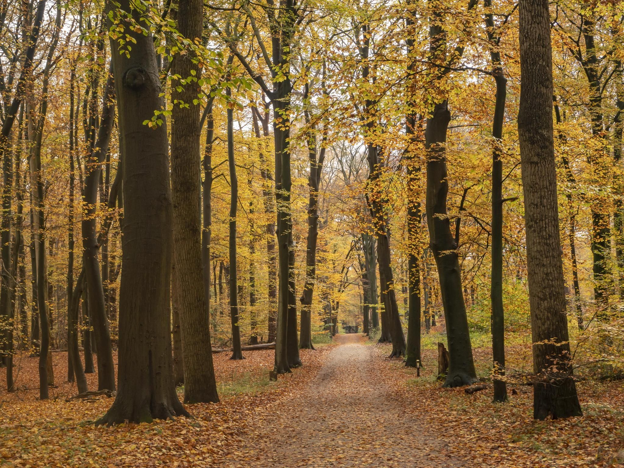
Walk under a golden canopy – 10 enchanting autumn walks in the Netherlands
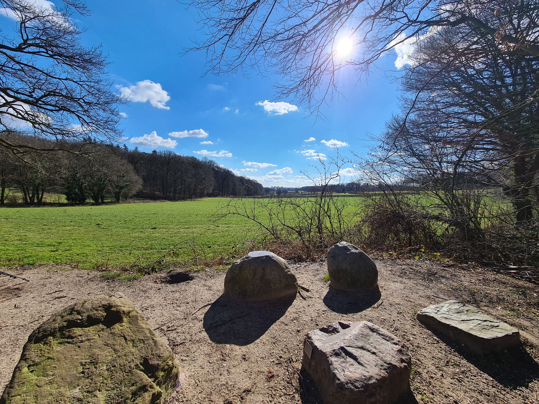
Weirs, dry valleys and boulders – 8 Dutch Geotrails
Hiking in Groesbeekse Bos
Cycling in Groesbeekse Bos
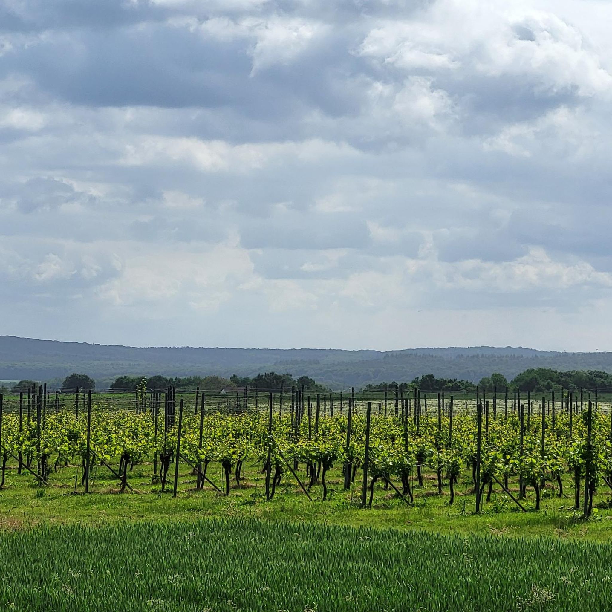
Road Cycling Routes in Groesbeekse Bos
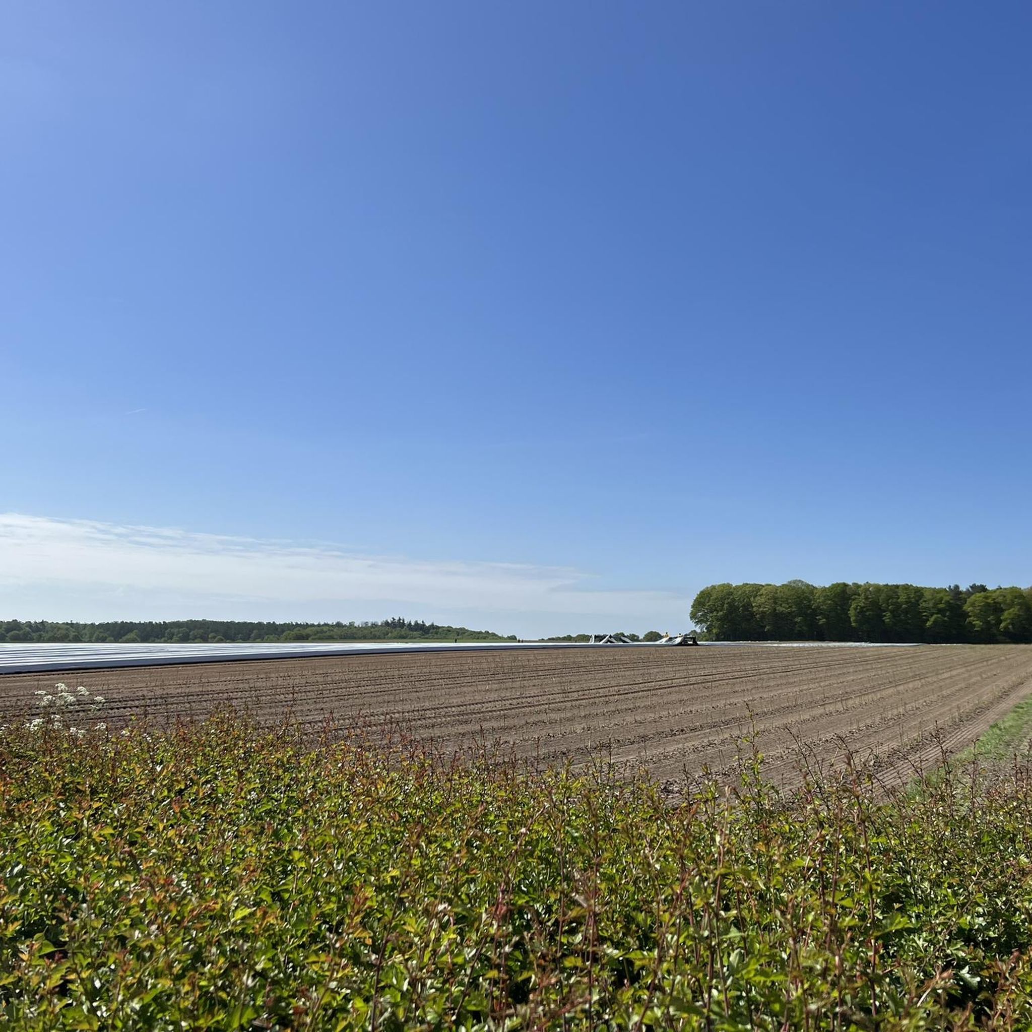
MTB Trails in Groesbeekse Bos
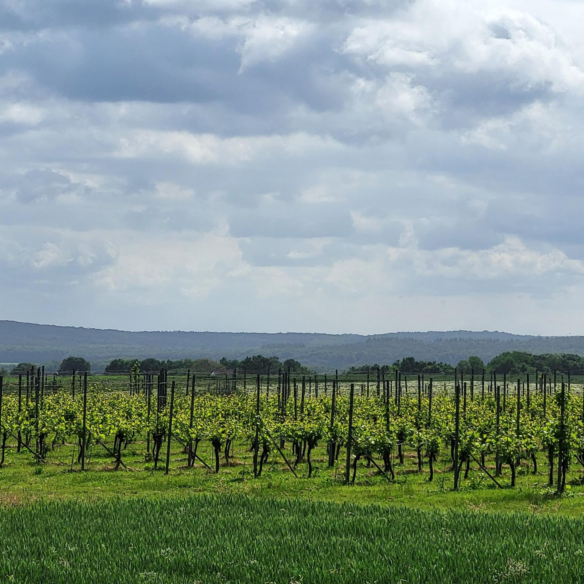
Running Trails in Groesbeekse Bos

Gravel biking in Groesbeekse Bos


Tips from the Community

you will encounter enough of these little stairs
0
0


It can be busy on weekends. It is a popular hiking area.
1
0

The thought is nice, but there would be better benches upstairs
0
0

nice area for walking, dogs are allowed to run free here between 1-10 and 1-5
1
0

Beautiful view over the Rhine Valley
0
0
Frequently Asked Questions
What kind of terrain can I expect on mountaineering routes in Groesbeekse Bos?
Groesbeekse Bos is characterized by gently rolling hills and diverse woodlands, part of the hilly Rijk van Nijmegen region. You'll encounter significant elevation differences for the Netherlands, with some hills reaching up to seventy meters, providing a more strenuous experience than typically found in the country. The landscape features varied forests, including mature beech and oak, interspersed with small streams and open fields.
Are there any family-friendly mountaineering routes in Groesbeekse Bos?
Yes, there are several easy routes suitable for families. For instance, the Sunken Path in the Forest – Devil's Mountain (Duivelsberg) loop from Berg en Dal is an easy 3.3-mile (5.4 km) path that winds through diverse forests and past the notable Devil's Mountain. Another easy option is the Devil's Mountain (Duivelsberg) – Wylerberg Lake loop from Persingen, which is 3.2 miles (5.1 km) long.
Can I bring my dog on the mountaineering routes in Groesbeekse Bos?
Many trails in Groesbeekse Bos are dog-friendly, allowing you to enjoy the diverse woodlands with your canine companion. It's always a good idea to keep your dog on a leash, especially in areas with wildlife or near other hikers and cyclists. The Sunken Path in the Forest – Devil's Mountain (Duivelsberg) loop from Beek is an easy 3.2-mile (5.2 km) route that offers a pleasant walk through the forest.
Are there any circular mountaineering routes available?
Yes, all the mountaineering routes in Groesbeekse Bos are designed as loops, allowing you to start and end at the same point. A popular moderate option is the Picnic Spot by the Stream – Heerlijkheid Beek Viewpoint loop from Berg en Dal, an 8.2-mile (13.2 km) trail offering varied terrain and panoramic viewpoints.
What are some notable landmarks or viewpoints along the routes?
The region features several elevated points that offer rewarding views. The Duivelsberg (Devil's Mountain), reaching 75.9 meters, is a prominent feature mentioned in several routes, providing views of the wooded area and floodplains. You can explore it on the Sunken Path in the Forest – Devil's Mountain (Duivelsberg) loop from Berg en Dal. Other 'peaks' like Brandenberg (90 m) and Rupenberg (96 m) in the broader Reichswald area also offer significant altitude gain.
What is the best time of year to go mountaineering in Groesbeekse Bos?
Groesbeekse Bos is enjoyable year-round. Spring and summer bring vibrant wildflower meadows and lush greenery, while autumn offers stunning fall foliage. The extensive trail network is well-maintained, making it accessible in most conditions. For a more intimate experience with fewer crowds, weekdays or off-peak seasons are ideal.
Are there places to eat or drink near the mountaineering trails?
Yes, the area has options for refreshments. The Eatery De Diepen - Milsbeek – Ketelwald Trail at Grensweg loop from Milsbeek, for example, starts near an eatery, providing a convenient stop before or after your hike. The nearby town of Groesbeek also offers various cafes and pubs.
What kind of wildlife can I expect to see in Groesbeekse Bos?
The diverse woodlands of Groesbeekse Bos support abundant birdlife, including woodpeckers and various songbirds. While larger mammals are less common, you might spot smaller forest creatures. The wildflower meadows also attract numerous pollinators during spring and summer, enhancing the natural beauty.
How long do mountaineering routes in Groesbeekse Bos typically take?
Route durations vary depending on length and difficulty. Easy routes, like the 3.3-mile (5.4 km) Sunken Path in the Forest – Devil's Mountain (Duivelsberg) loop from Berg en Dal, can take around 1 hour 30 minutes. Moderate routes, such as the 8.2-mile (13.2 km) Picnic Spot by the Stream – Heerlijkheid Beek Viewpoint loop from Berg en Dal, typically take about 3 hours 38 minutes.
What do other mountaineers enjoy most about Groesbeekse Bos?
The area is highly rated by the komoot community, with an average score of 4.8 stars. Reviewers often praise the varied terrain, the significant elevation changes for the region, and the peaceful, diverse forests. The well-maintained trails and panoramic viewpoints are also frequently highlighted as enjoyable aspects of the mountaineering experience.
Are there any historical sites or attractions near the trails?
Groesbeekse Bos is intertwined with World War II history, sitting near several memorial sites honoring the Battle of Groesbeek Ridge. Small monuments and markers near the forest boundaries offer a poignant reminder of the Allied forces. While not directly on the mountaineering routes, you can find other attractions like the De Biesselt Marian Chapel nearby.
Most popular routes in Groesbeekse Bos
Most popular attractions in Groesbeekse Bos

Get inspired with the komoot mobile app


Explore more
Browse the best Mountain Hikes & Routes in other regions.
