Abgrabungsseen Lohrwardt Und Reckerfeld
Abgrabungsseen Lohrwardt Und Reckerfeld
The best MTB trails in Abgrabungsseen Lohrwardt Und Reckerfeld
4.7
(334)
1,400
riders
168
rides
Mountain bike trails in Abgrabungsseen Lohrwardt Und Reckerfeld traverse a landscape shaped by former gravel pits, now nature reserves featuring two distinct lakes, Lohrwardtsee and Rosenhofsee. The area is characterized by its diverse lake environments, surrounding woodlands, and open grasslands. Routes here generally feature low elevation gains, offering mostly flat paths suitable for exploring the natural surroundings.
Best mountain bike trails in Abgrabungsseen Lohrwardt Und Reckerfeld
- The most popular mountain bike trail is View of Reeser Meer – Diersfordter Waldsee…
Last updated: July 4, 2026
2
riders
27.9km
01:44
60m
60m
Moderate mountain bike ride. Great for any fitness level. Advanced riding skills necessary.
4.8
(11)
51
riders
Easy mountain bike ride. Great for any fitness level. Suitable for all skill levels.

Sign up for free
4.3
(8)
28
riders
24.5km
01:53
200m
200m
Moderate mountain bike ride. Great for any fitness level. Advanced riding skills necessary.
5.0
(7)
17
riders
Easy mountain bike ride. Great for any fitness level. Suitable for all skill levels.
8
riders
33.1km
01:46
60m
60m
Easy mountain bike ride. Great for any fitness level. Suitable for all skill levels.
Get access to more routes and recommendations from other explorers.
Sign up for free
Already have an account?
Our route recommendations are based on thousands of hikes, rides, and runs completed by other people on komoot.
Start today with a free account
Your next adventure awaits.
Login or Signup
Popular around Abgrabungsseen Lohrwardt Und Reckerfeld
Tips from the Community

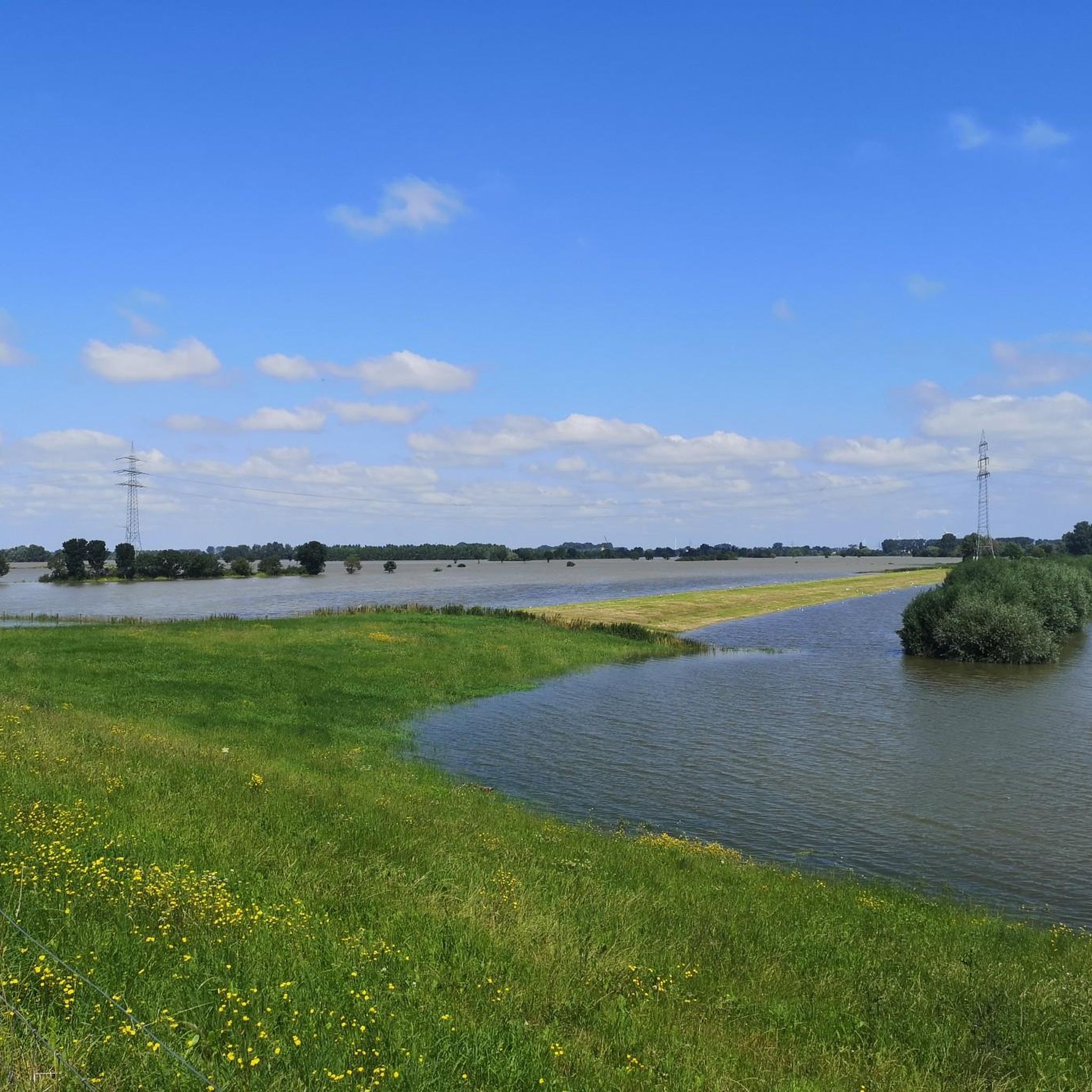
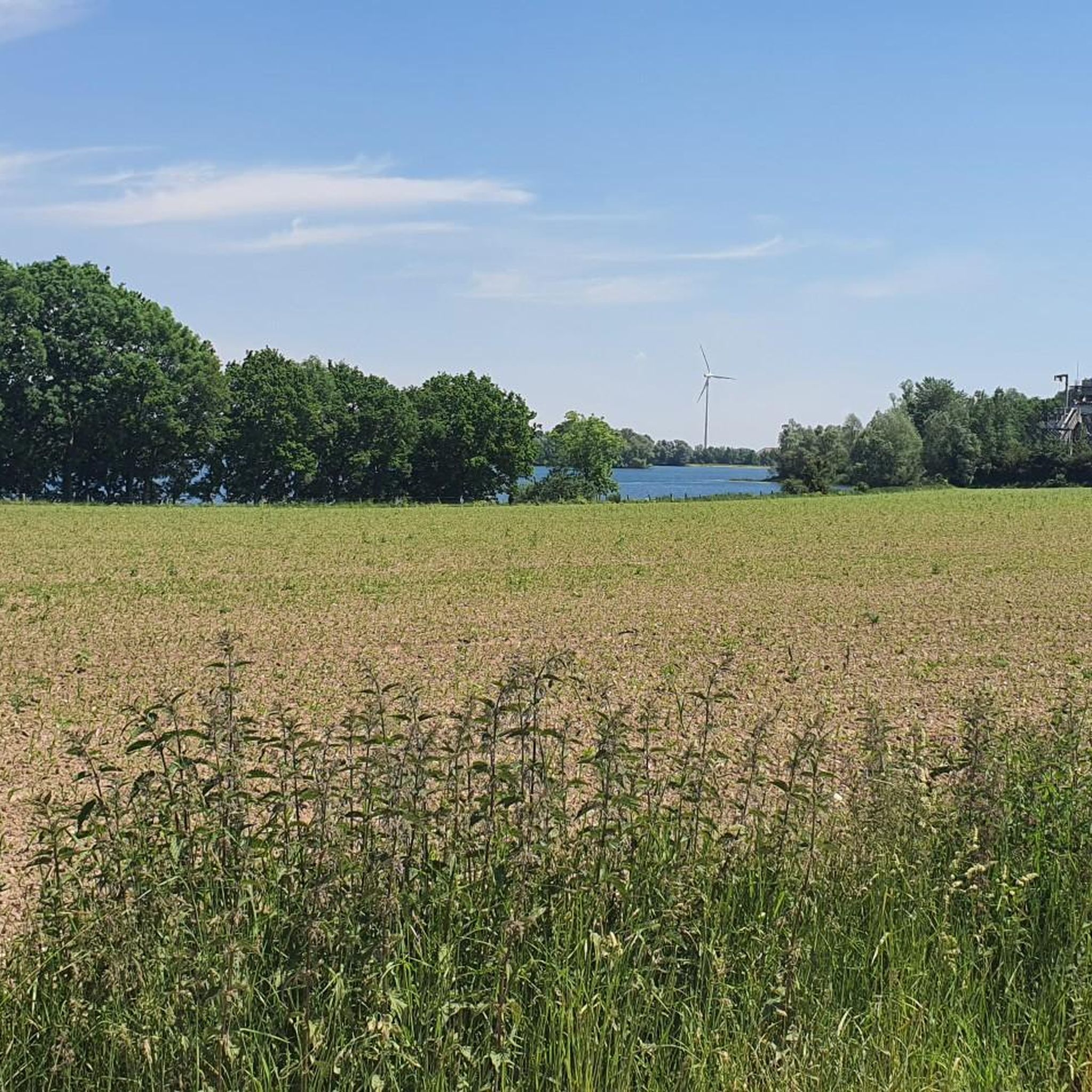
Beautiful view over the lake.
0
0
Past the Roman thermal baths.
0
0

Nice playground - especially if you're traveling with children and grandchildren.
1
0

The 3.4 km long and 6 m high city wall was built starting in 105 AD and featured a parapet walk or earthworks on its inner side. The top of the wall was crowned with battlements, and a double ditch ran along three sides of the fortifications, while only a simple V-shaped ditch existed on the harbor side. Nevertheless, the wall was primarily intended to demonstrate Roman power. The fortifications had a total of 22 towers and three impressive main gates with double passageways on the main roads: the North Gate (also known as the Burginatum Gate), the Maastor Gate, and the Vetera Gate. Since there was no main gate on the Rhine side, some of the towers, such as the Harbor Gate, the Molentor Gate, and the Small Harbor Gate, had simple passageways. Today, the eastern corner of the Roman city wall near the amphitheater, the North Gate, and the nine towers between the North Gate and the main entrance to the city center have been partially reconstructed. To create a continuous facade, the remaining spaces between the towers are planted with hedges. The city wall is to be gradually reconstructed and sections of it are now open to the public. The North Gate, also known as the Burginatium Gate, was the main northern gate leading towards the Roman fort of Burginatium (in Altkalkar). It was reconstructed to its full height. Like the other two main gates, it had a double passageway, was flanked by gate towers, and consisted of three stories. The gate is now open to the public and houses the exhibition "Death & Burial." The harbor of Roman Xanten was located at the Harbor Gate (or East Gate). This gate had a single passageway and is now open to the public. In front of the Molen Gate, which also had a single passageway, the Rhine harbor mole was located in Roman times. However, the Rhine silted up around 300 BC, necessitating the construction of a new mole further north. The gate tower is now open to the public and serves as the entrance to the Harbor Temple park. Source: roemer-tour.de/roemerwegen/deutschland/northrhein-westfalen/xanten-colonia-ulpia-traiana/stadtmauer-tore-xanten
2
0

It's a bit tricky on a regular bike. But it's incredibly fast on asphalt. A fantastic bike path. Very smooth and with a beautiful view of the surroundings.
1
0

With a view of Xanten. Definitely worth a trip. But I just drove past.
1
0

The APX is worth an extra day
0
0
Frequently Asked Questions
How many mountain bike trails are available in Abgrabungsseen Lohrwardt Und Reckerfeld?
There are over 190 mountain bike trails in the Abgrabungsseen Lohrwardt Und Reckerfeld region, offering a wide range of options for different skill levels.
What kind of terrain can I expect on mountain bike trails in Abgrabungsseen Lohrwardt Und Reckerfeld?
The region, shaped by former gravel pits, features diverse lake environments, woodlands, and open grasslands. Trails generally have low elevation gains, offering mostly flat paths suitable for exploring the natural surroundings.
Are there mountain bike trails suitable for beginners in Abgrabungsseen Lohrwardt Und Reckerfeld?
Yes, the area offers numerous easy routes. For example, the North shore of Xantener Südsee – Water Skiing Xantener South Lake loop from Hübsche Grändort is an easy 13.9-mile path that circles the Xantener Südsee, providing pleasant views.
Are there any longer or more challenging mountain bike routes in the area?
While many routes are easy to moderate, some offer a bit more distance or varied terrain. The Landgut Hochwald – Country Estate at Hochwald loop from Vynen is a moderate 18.2-mile (29.2 km) trail with some elevation gain, taking you through the scenic countryside.
What natural features can I see along the mountain bike trails?
The region is a nature reserve known for its two distinct lakes, Lohrwardtsee and Rosenhofsee, which are important resting and overwintering grounds for waterfowl. You can observe diverse birdlife, especially around the open grasslands of Rosenhofsee and its island, which is a breeding ground for species like the barnacle goose.
Are there circular mountain bike routes available?
Yes, many routes in the area are designed as loops. An example is the moderate View of Reeser Meer – Diersfordter Waldsee loop from Mehr, which is 17.7 miles long and offers views of Reeser Meer and Diersfordter Waldsee.
What do other mountain bikers say about the trails in Abgrabungsseen Lohrwardt Und Reckerfeld?
The routes in Abgrabungsseen Lohrwardt Und Reckerfeld are highly rated by the komoot community, with an average score of 4.8 stars from over 300 reviews. Mountain bikers often praise the diverse lake environments, woodlands, and open grasslands, as well as the options for different ability levels.
Is the Abgrabungsseen Lohrwardt Und Reckerfeld area suitable for gravel biking?
Given the region's characteristics of mostly flat paths through woodlands and grasslands, and its nature reserve status, many of the unpaved cycling paths would likely be suitable for gravel biking, offering a similar experience to mountain biking on less technical terrain.
Are there any specific viewpoints along the mountain bike routes?
While specific designated viewpoints are not highlighted, the trails often provide scenic views of the Lohrwardtsee and Rosenhofsee lakes, as well as the surrounding woodlands and open grasslands, offering ample opportunities for birdwatching and enjoying the natural landscape.
What is the best time of year for mountain biking in Abgrabungsseen Lohrwardt Und Reckerfeld?
The region can be enjoyed year-round, but spring and autumn offer pleasant temperatures and beautiful scenery. As the area is a significant bird sanctuary, visiting outside of peak nesting or overwintering periods might offer a quieter experience, though birdwatching is a highlight throughout the year.
Are there any mountain bike trails that are particularly family-friendly?
Many of the easy and moderate routes with low elevation gains are suitable for families. The generally flat terrain around the lakes makes for a relaxed cycling experience, allowing families to enjoy nature together. Look for routes marked as 'easy' on komoot for the most family-friendly options.
Can I bring my dog on the mountain bike trails?
As a nature reserve, the focus is on preserving wildlife. While specific rules for dogs on trails can vary, it's generally recommended to keep dogs on a leash to protect the sensitive bird populations and other wildlife, especially near the lakes and grasslands. Always check local signage for specific regulations.
Where can I find parking near the mountain bike trails?
While specific parking areas for mountain bikers are not detailed, the region is accessible, and parking is typically available in nearby towns or designated nature reserve access points. It's advisable to check komoot tour details or local maps for parking options closest to your chosen starting point.
Most popular routes in Abgrabungsseen Lohrwardt Und Reckerfeld
Most popular attractions in Abgrabungsseen Lohrwardt Und Reckerfeld

Get inspired with the komoot mobile app


Explore more
Browse the best MTB trails in other regions.
